Printable base maps of Switzerland

SWITZERLAND · MAPS TO COMPLETE

Download a blank map of Switzerland to add names, prepare a sketch map or colour territories. Six black-and-white versions are available: outlines and boundaries, with space for a key, full-page or with neighbouring countries. Each map is available as an A4 PDF and PNG.

Our six blank maps have English labels.

Six base maps of Switzerland to complete

Coverage: Switzerland. Divisions: 26 cantons.

Geographic reference year: 2022. The files’ edition date does not mean that all boundaries have been updated.
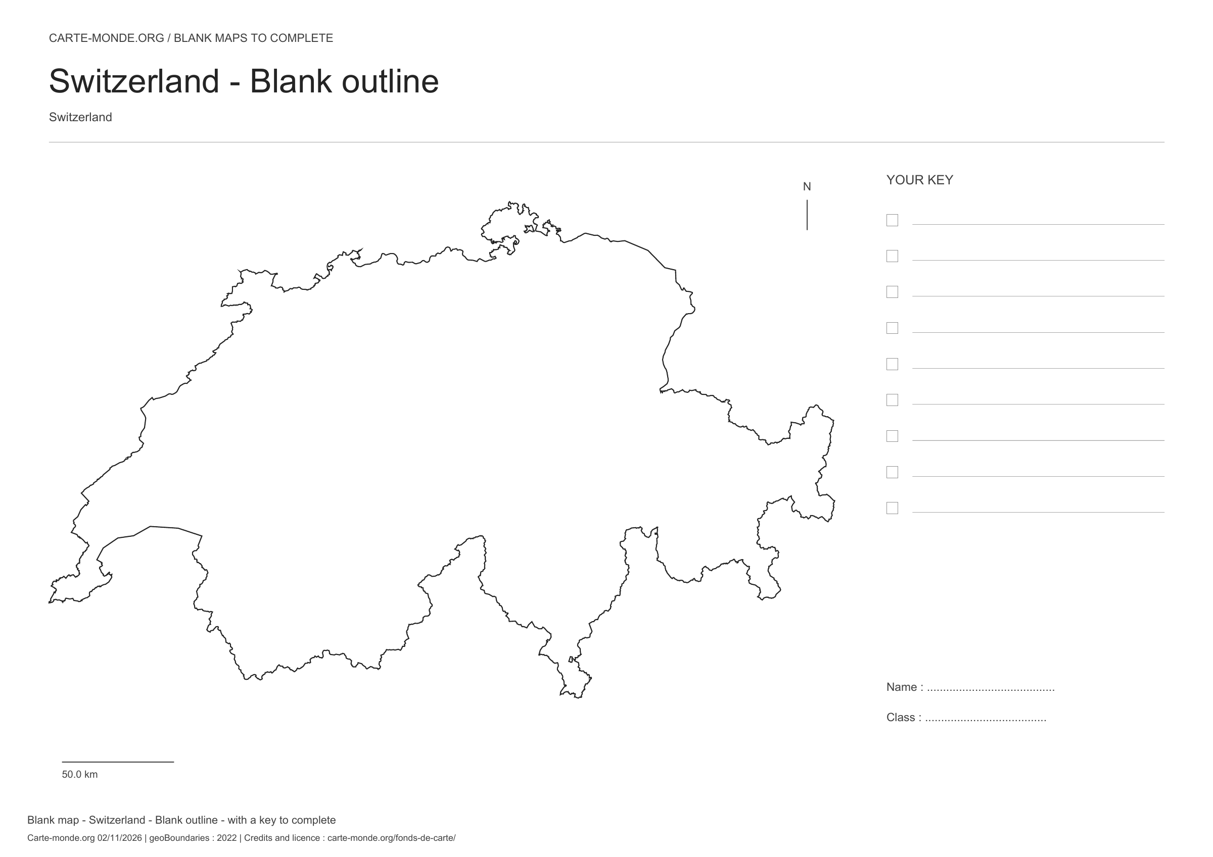
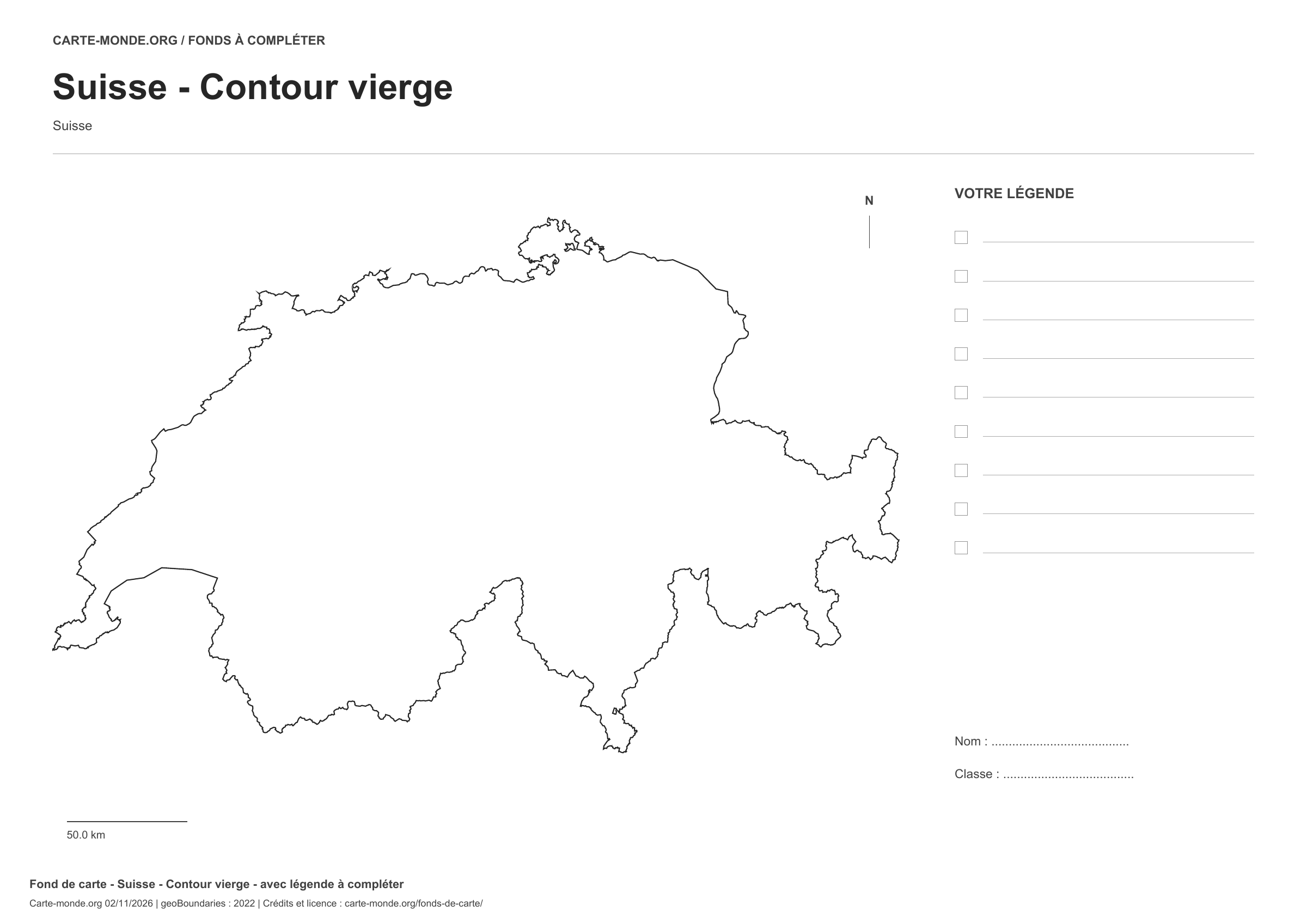
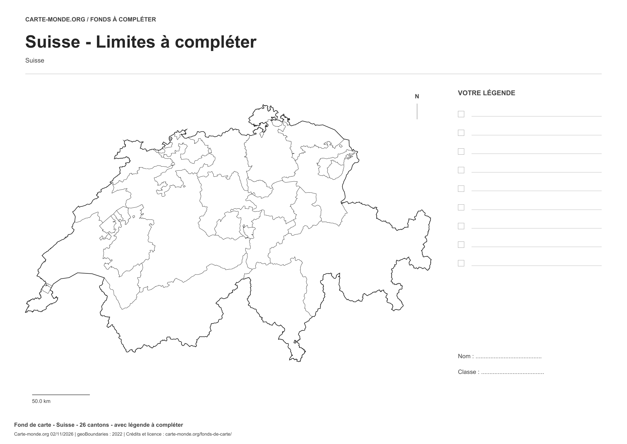
Switzerland: outline with space for a legend, base map without names

Model 1 · November 2026 edition

Outline with space for a legend

National outline without names or internal boundaries, to complete freely. Space for your key, name and class.

A4 landscape vector PDF · PNG 2 400 px
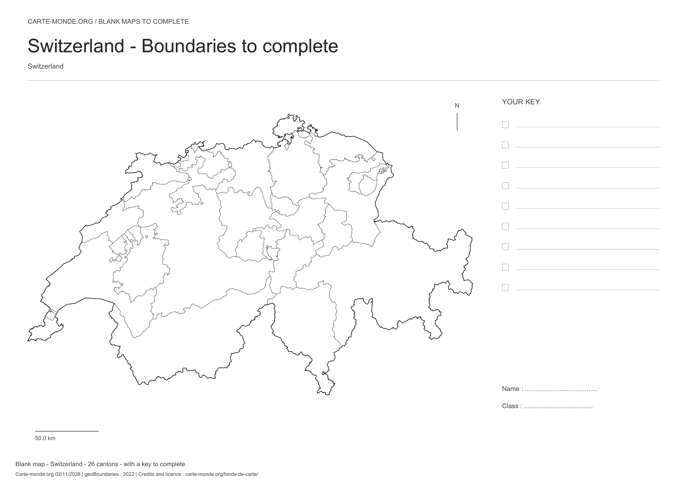
Switzerland: boundaries with space for a legend, base map without names

Model 2 · November 2026 edition

Boundaries with space for a legend

Divisions shown: 26 cantons. Add names and colours. Space for your legend, name and class.

A4 landscape vector PDF · PNG 2 400 px
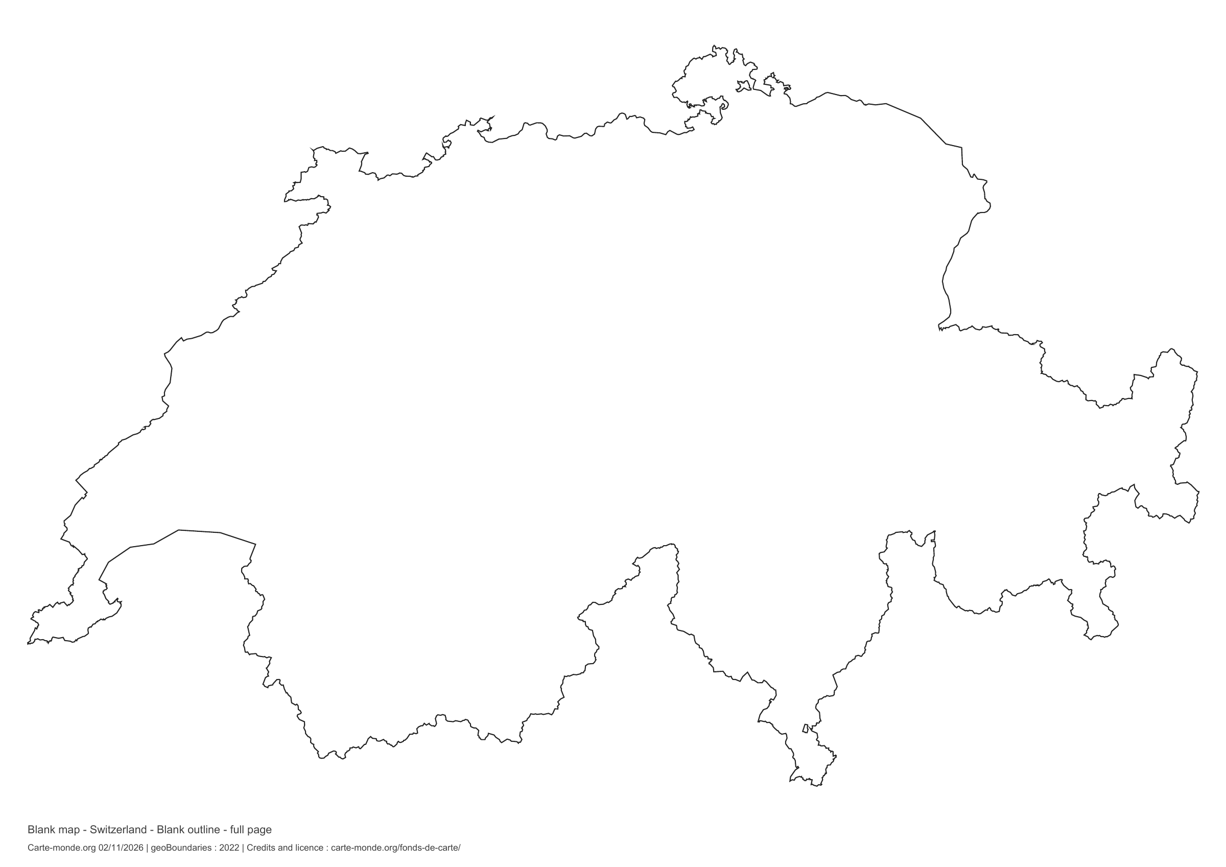
Switzerland: full-page outline, base map without names

Model 3 · November 2026 edition

Full-page outline

National outline without names or internal boundaries, to complete freely. The map fills almost the entire sheet; only two reference lines appear at the bottom.

A4 landscape vector PDF · PNG 2 400 px
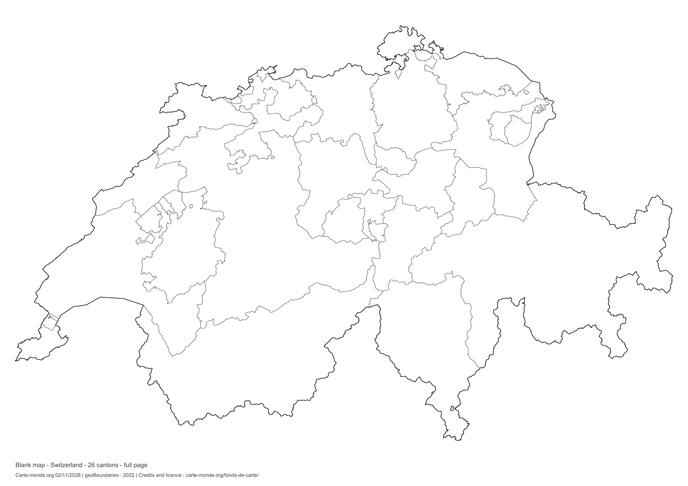
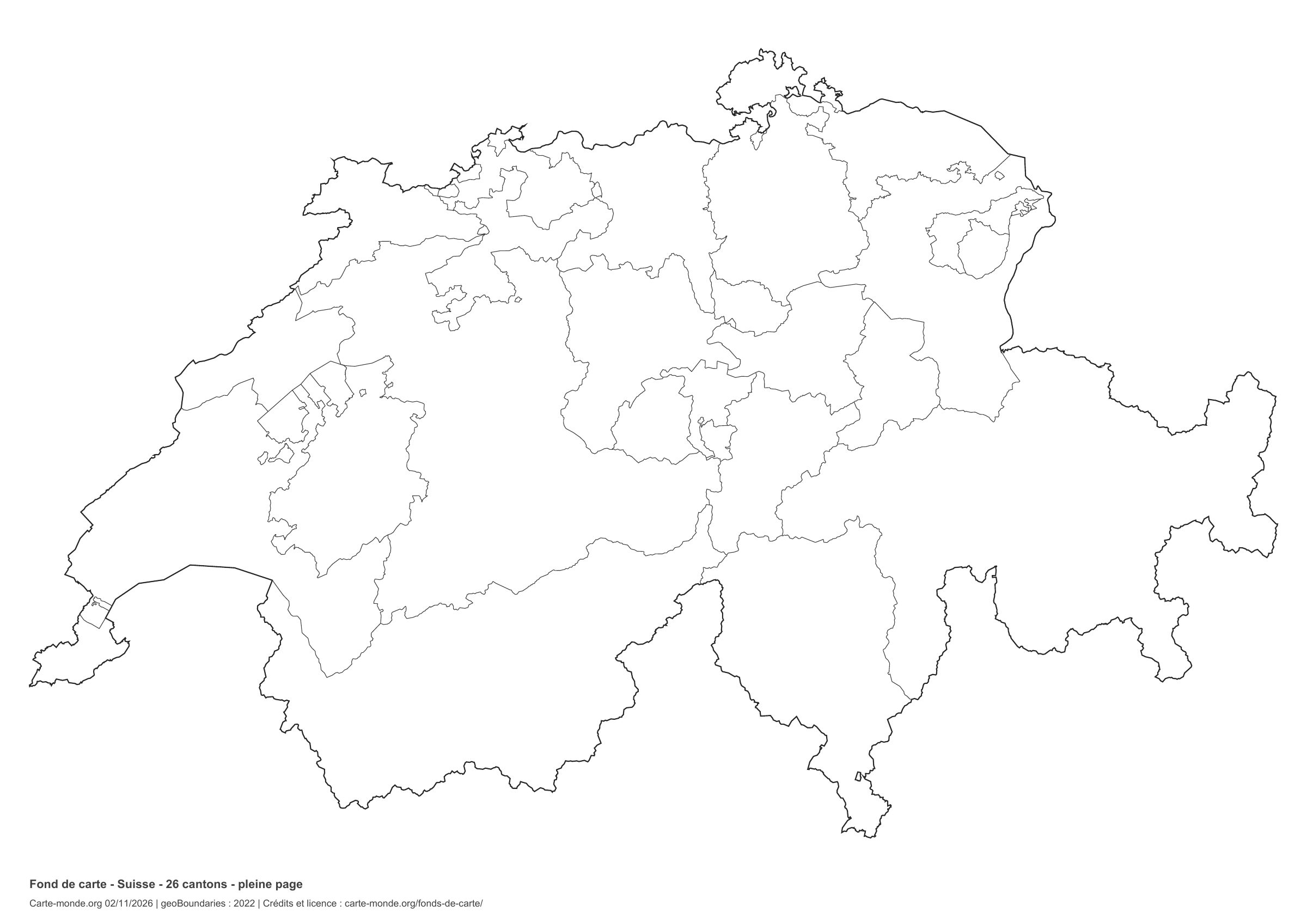
Switzerland: full-page boundaries, base map without names

Model 4 · November 2026 edition

Full-page boundaries

Divisions shown: 26 cantons. Add names and colors. The map fills almost the entire sheet; only two reference lines appear at the bottom.

A4 landscape vector PDF · PNG 2 400 px
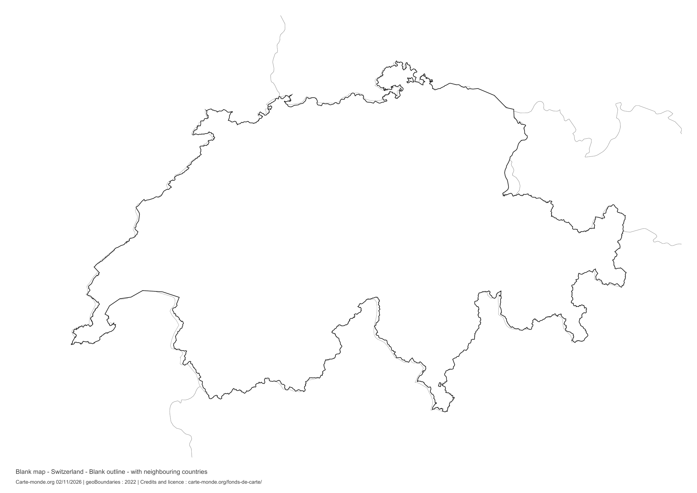
Switzerland: outline with neighbouring countries, base map without names

Model 5 · November 2026 edition

Outline with neighbouring countries

National outline without names or internal boundaries, to complete freely. Surrounding countries are shown with light outlines, without names or colour fills.

A4 landscape vector PDF · PNG 2 400 px
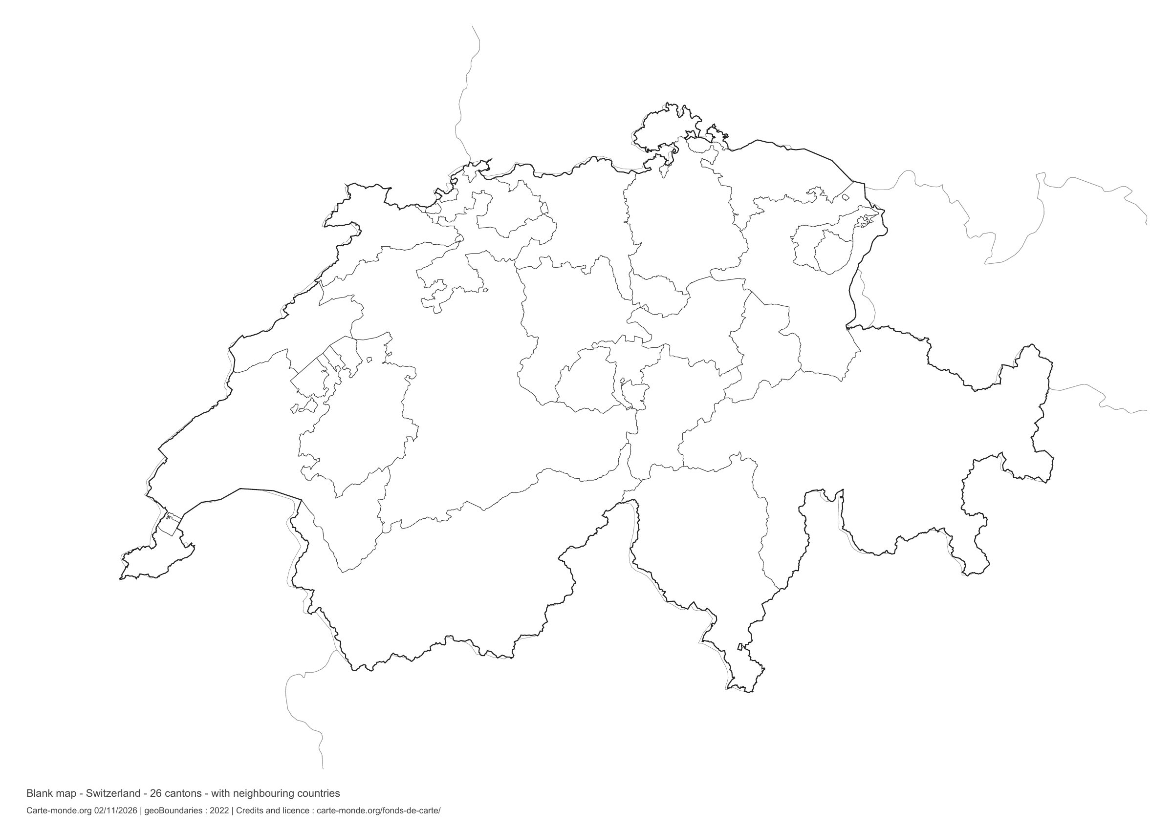
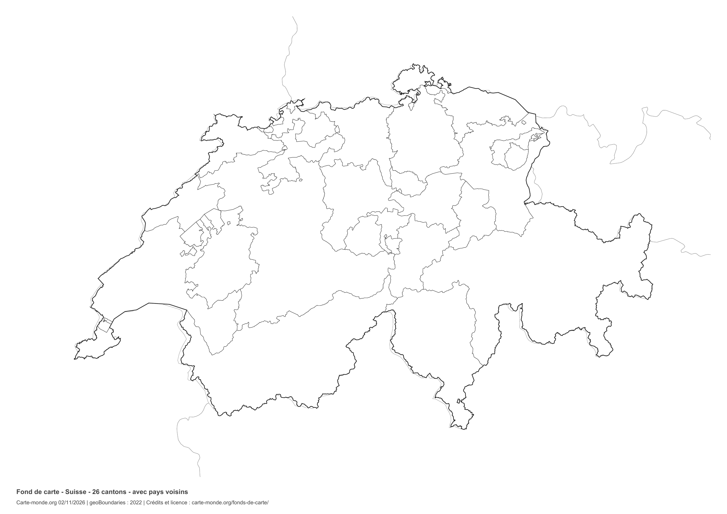
Switzerland: boundaries with neighbouring countries, base map without names
Model 6 · November 2026 edition

Boundaries with neighbouring countries

Divisions shown: 26 cantons. Add names and colours. The outlines of surrounding countries appear as fine lines, without names or filled areas.

A4 landscape vector PDF · PNG 2 400 px

The six-base-map pack

The six templates in PDF, PNG and editable SVG, with credits and reuse terms.

Download the six base maps — ZIP

Which base map should I choose?

The outline is suitable for freehand sketches: add a capital, cities or rivers. The version with boundaries lets you color or name the units shown in the divisions. Full-page versions enlarge the country and save ink. The last two maps add neighboring countries for location exercises.

Geographical names are deliberately omitted. Any inset titles indicate only their coverage and individual scales.

Maps of Switzerland: labelled maps and original collection.

Download and print

  1. Open the PDF for a sharp printout; choose the PNG for a document or presentation.
  2. Print on an A4 sheet using the file’s orientation. Use “Fit to page” if your printer requires it.
  3. Any insets use different scales from the main map. Retain the source notes at the bottom of the sheet.

To edit the outlines, open the pack’s SVG in a vector editor. These generalised maps are intended for exercises and presentations.

Sources and reuse

Geometries: geoBoundaries gbOpen, 2022. Primary source: Federal Office of Topography swisstopo. Licence stated in the metadata: Federal Office of Topography swisstopo License. View the source metadata.

Neighbouring country outlines: Natural Earth 5.1.1, public domain. Layout by Carte-monde.org, 2 November 2026 edition, under CC BY 4.0. The data retain their attributions and licences; consult the ZIP notes before reuse.

Example credit: Carte-monde.org, edition of 2 November 2026 — geoBoundaries / Federal Office of Topography swisstopo.

Continue exploring

Maps of Switzerland · Maps of European countries · Other maps and archives

Original French files

Printable base maps of Türkiye

TÜRKIYE · MAPS TO COMPLETE

Download a blank map of Türkiye to add names, prepare a sketch map or colour territories. Six black-and-white versions are available: outlines and boundaries, with space for a key, full-page or with neighbouring countries. Each map is available as an A4 PDF and PNG.

Our six blank maps have English labels.

Six base maps of Türkiye to complete

Coverage: Türkiye. Divisions: 81 provinces.

Geographic reference year: 2021. The files’ edition date does not mean that all boundaries have been updated.

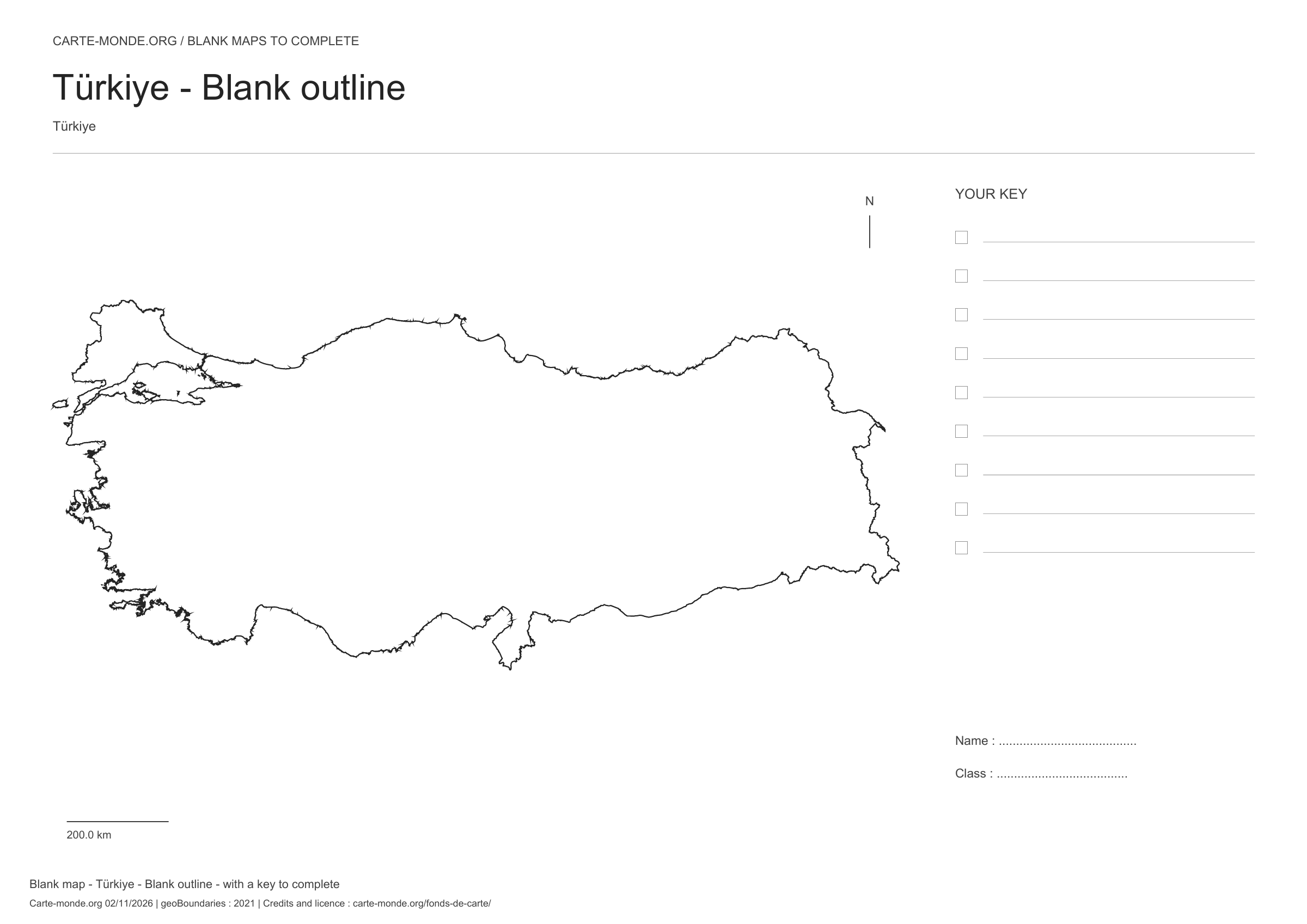
Türkiye: outline with space for a legend, base map without names

Model 1 · November 2026 edition

Outline with space for a legend

National outline without names or internal boundaries, to complete freely. Space for your key, name and class.

A4 landscape vector PDF · PNG 2 400 px

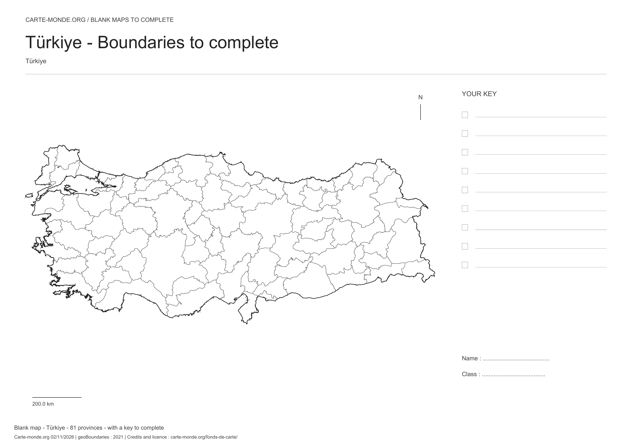
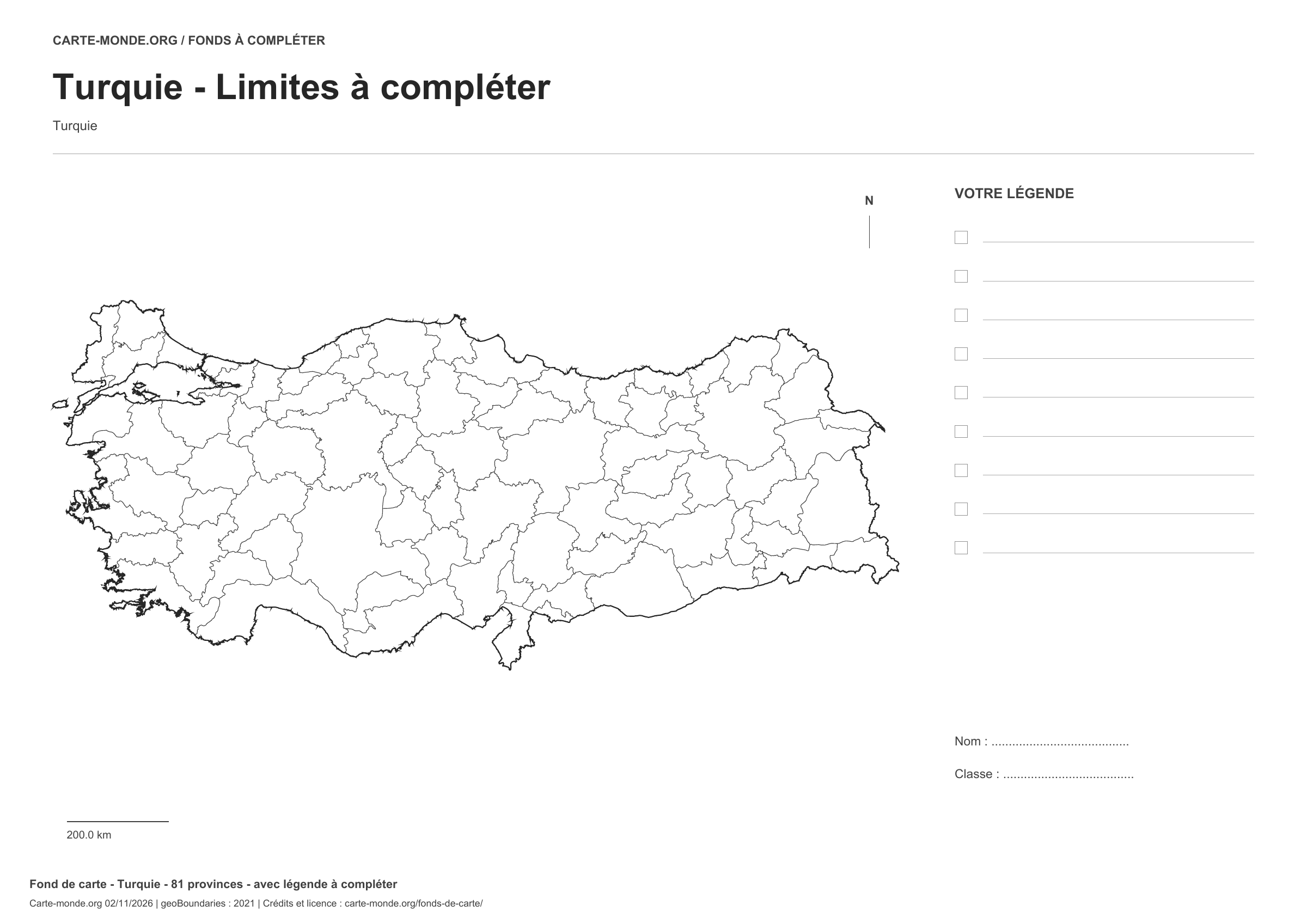
Türkiye: boundaries with space for a legend, base map without names

Model 2 · November 2026 edition

Boundaries with space for a legend

Divisions shown: 81 provinces. Add names and colours. Space for your legend, name and class.

A4 landscape vector PDF · PNG 2 400 px

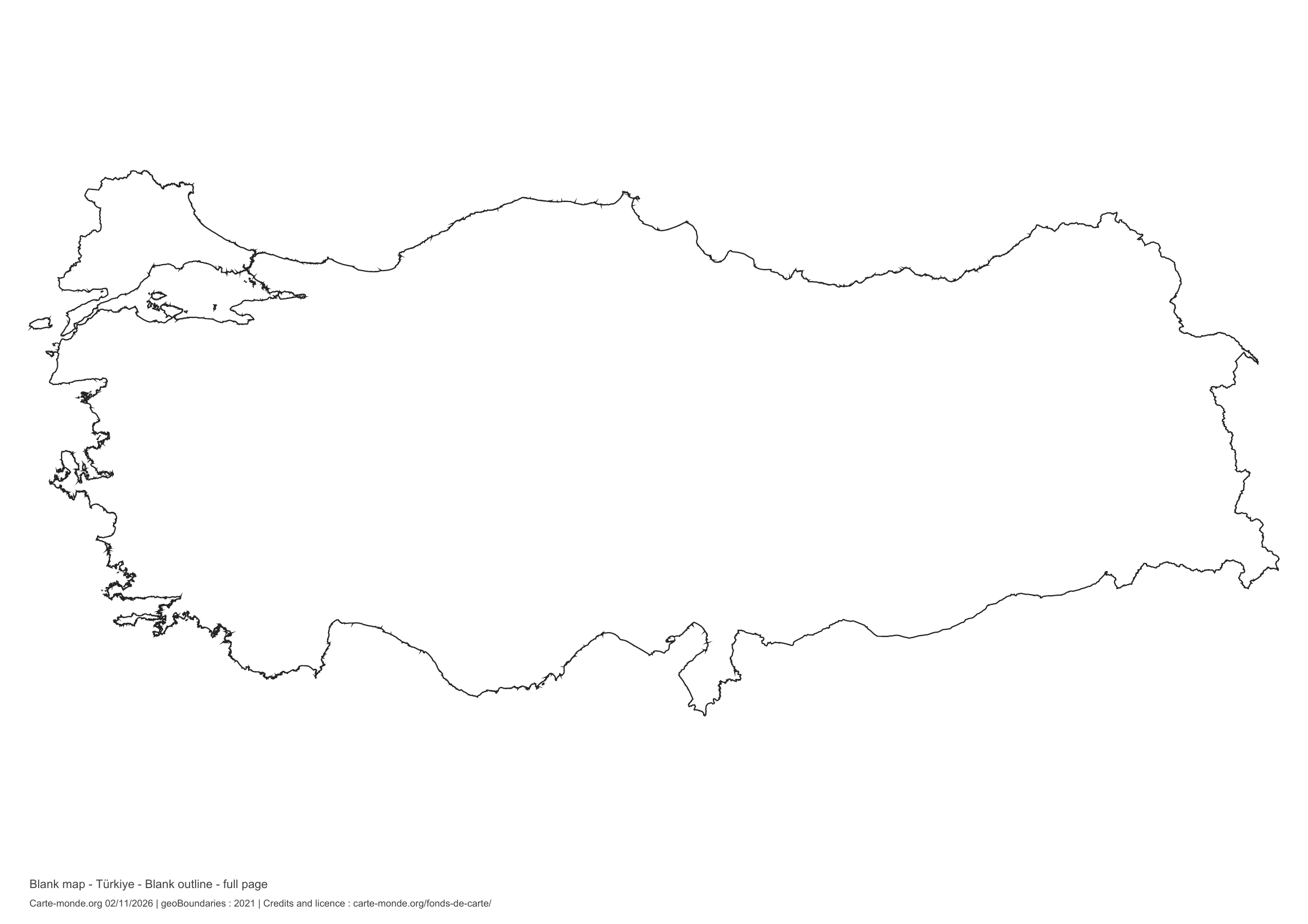
Türkiye: full-page outline, base map without names

Model 3 · November 2026 edition

Full-page outline

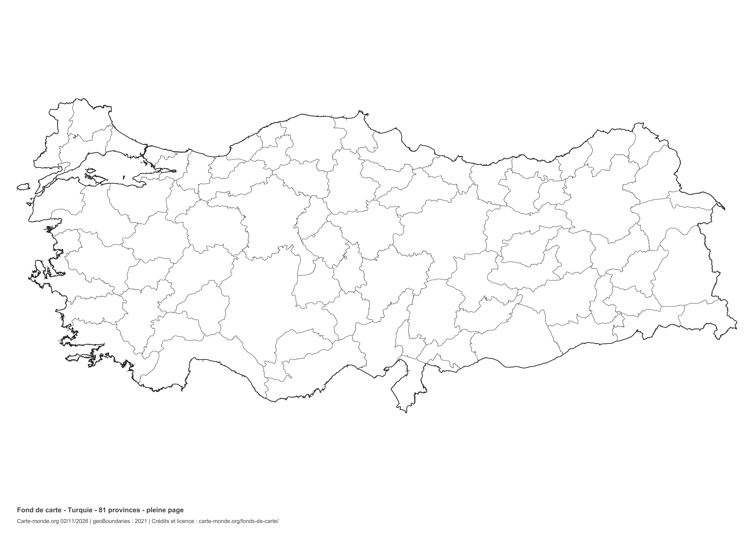
National outline without names or internal boundaries, to complete freely. The map fills almost the entire sheet; only two reference lines appear at the bottom.

A4 landscape vector PDF · PNG 2 400 px

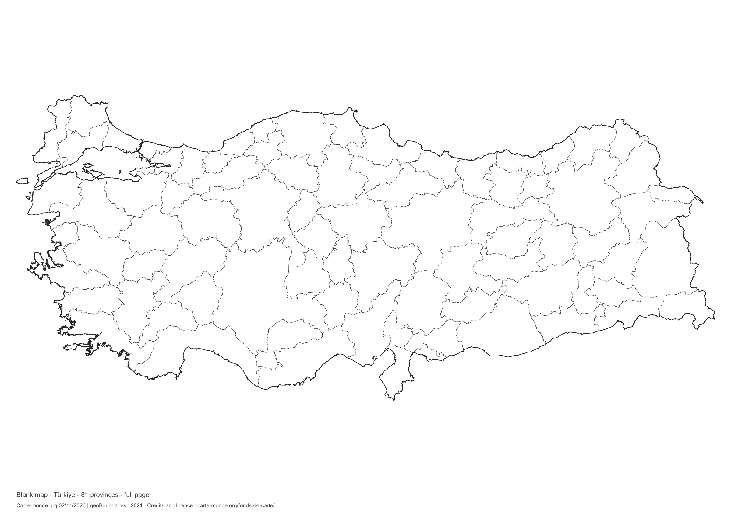
Türkiye: full-page boundaries, base map without names

Model 4 · November 2026 edition

Full-page boundaries

Divisions shown: 81 provinces. Add names and colors. The map fills almost the entire sheet; only two reference lines appear at the bottom.

A4 landscape vector PDF · PNG 2 400 px

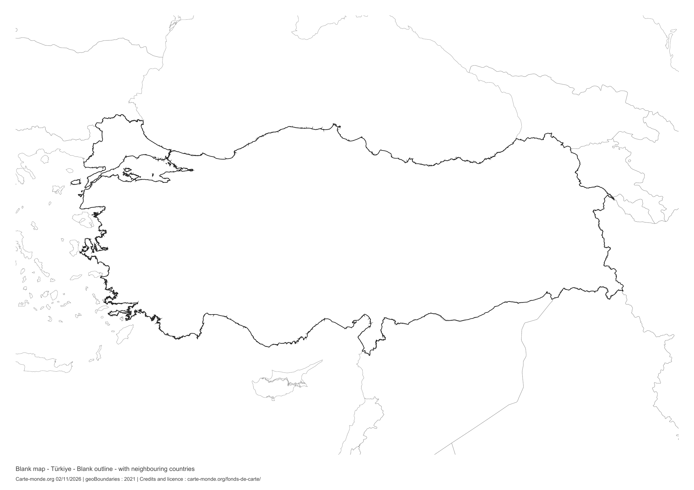
Türkiye: outline with neighbouring countries, base map without names

Model 5 · November 2026 edition

Outline with neighbouring countries

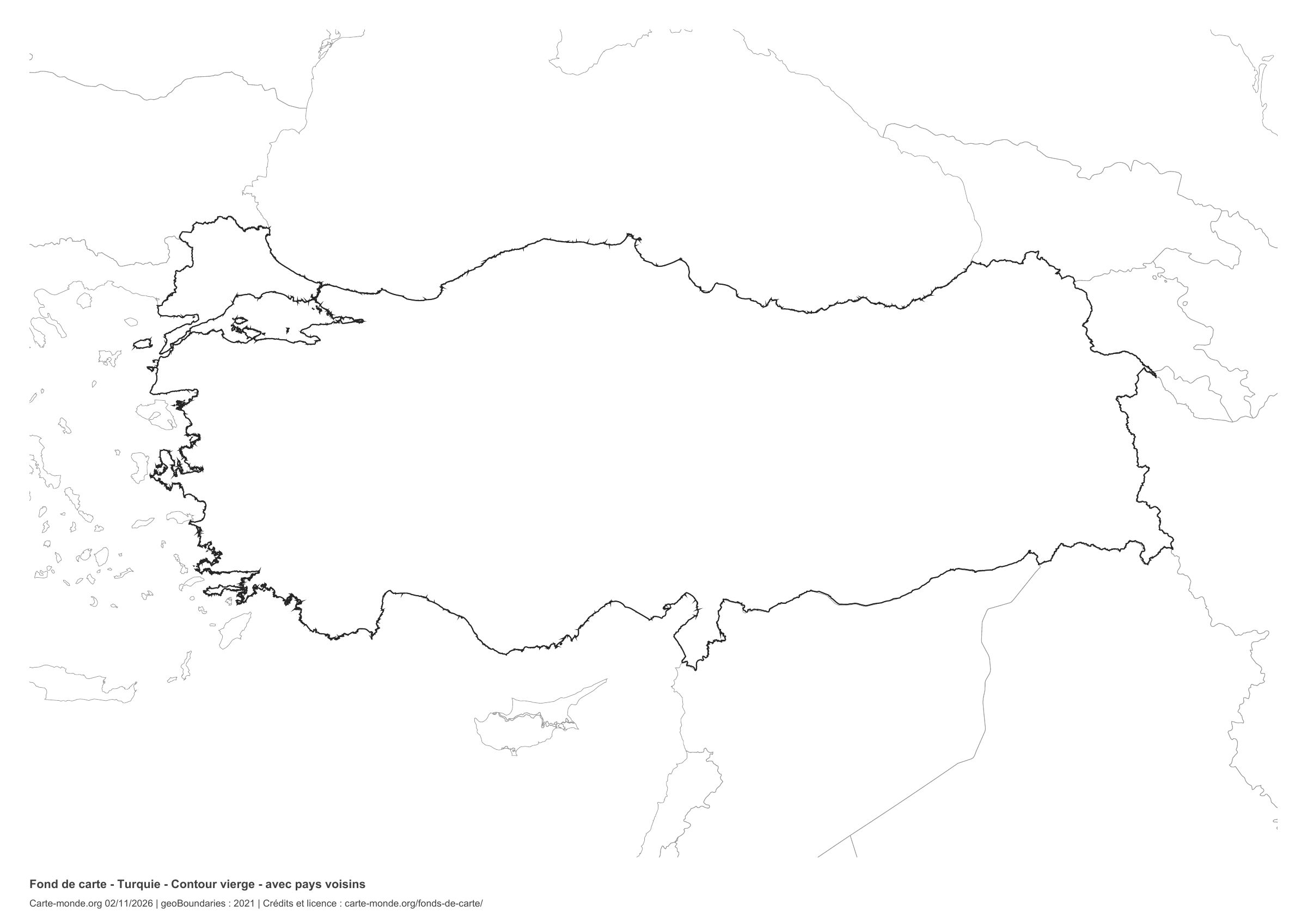
National outline without names or internal boundaries, to complete freely. Surrounding countries are shown with light outlines, without names or colour fills.

A4 landscape vector PDF · PNG 2 400 px

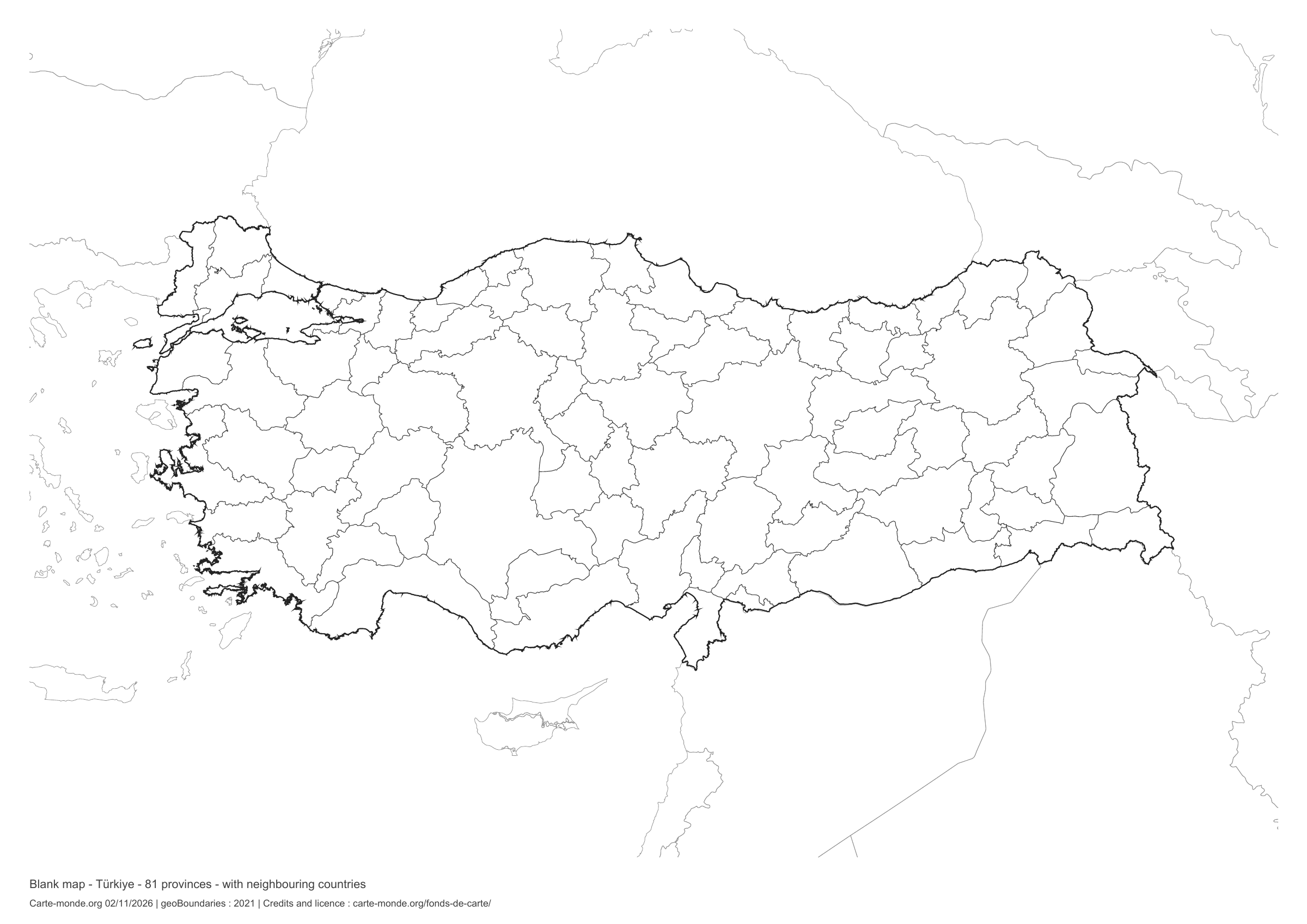
Türkiye: boundaries with neighbouring countries, base map without names

Model 6 · November 2026 edition

Boundaries with neighbouring countries

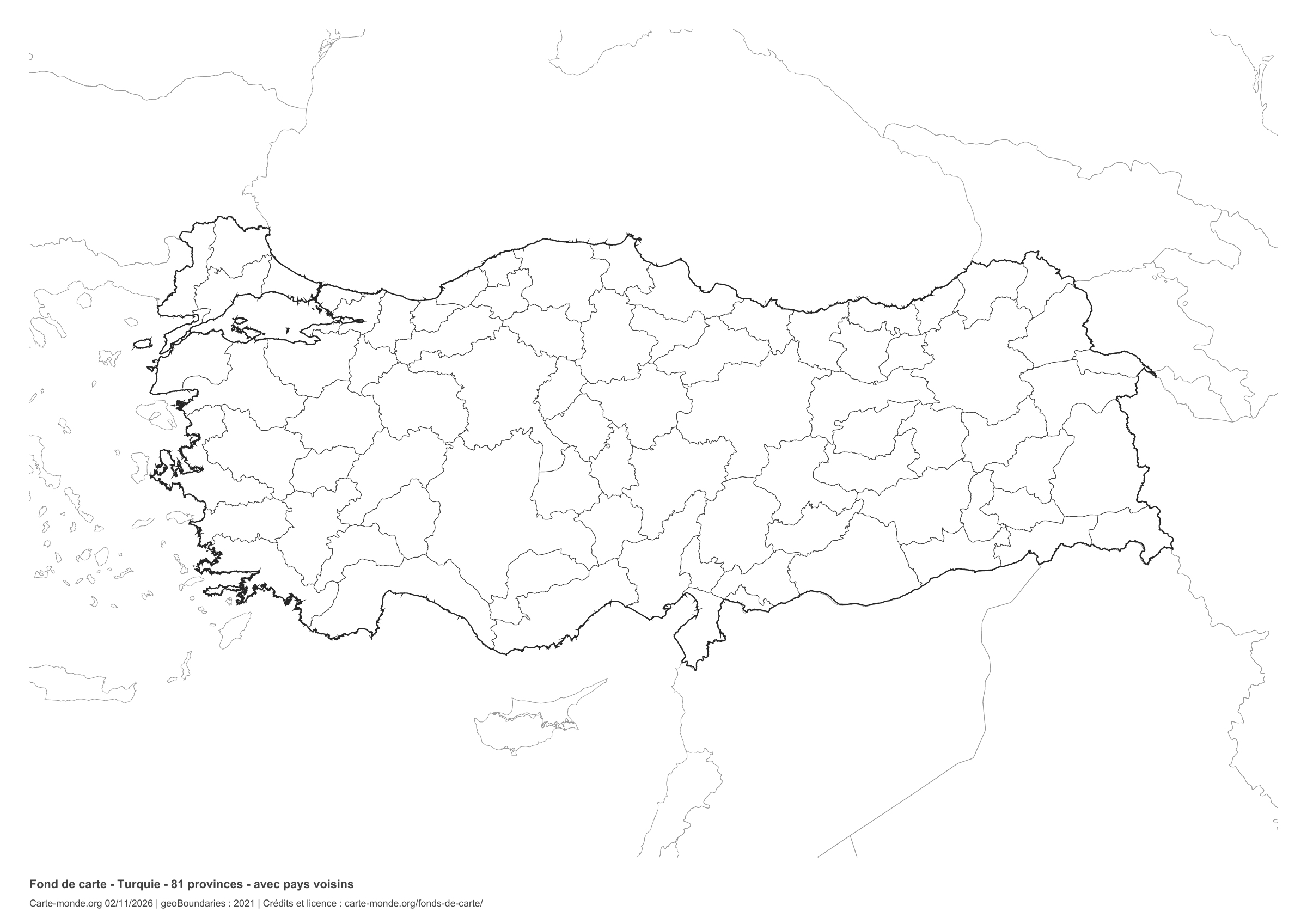
Divisions shown: 81 provinces. Add names and colours. Surrounding countries are shown with light outlines, without names or colour fills.

A4 landscape vector PDF · PNG 2 400 px

The six-base-map pack

The six templates in PDF, PNG and editable SVG, with credits and reuse terms.

Download the six base maps — ZIP

Which base map should I choose?

The outline is suitable for freehand sketches: add a capital, cities or rivers. The version with boundaries lets you color or name the units shown in the divisions. Full-page versions enlarge the country and save ink. The last two maps add neighboring countries for location exercises.

Geographical names are deliberately omitted. Any inset titles indicate only their coverage and individual scales.

Maps of Türkiye: labelled maps and original collection.

Download and print

  1. Open the PDF for a sharp printout; choose the PNG for a document or presentation.
  2. Print on an A4 sheet using the file’s orientation. Use “Fit to page” if your printer requires it.
  3. Any insets use different scales from the main map. Retain the source notes at the bottom of the sheet.

To edit the outlines, open the pack’s SVG in a vector editor. These generalised maps are intended for exercises and presentations.

Sources and reuse

Geometries: geoBoundaries gbOpen, 2021. Primary source: Open Street Map. Licence stated in the metadata: Creative Commons Attribution-ShareAlike 2.0. View the source metadata.

Neighbouring country outlines: Natural Earth 5.1.1, public domain. Layout by Carte-monde.org, 2 November 2026 edition, under CC BY 4.0. The data retain their attributions and licences; consult the ZIP notes before reuse.

Example credit: Carte-monde.org, edition dated 2 November 2026 — geoBoundaries / Open Street Map.

Continue exploring

Maps of Türkiye · Maps of European countries · Other maps and archives

Original French files

Printable base maps of Ukraine

UKRAINE · MAPS TO COMPLETE

Download a blank map of Ukraine to add names, prepare a sketch map or colour territories. Six black-and-white versions are available: outlines and boundaries, with space for a key, full-page or with neighbouring countries. Each map is available as an A4 PDF and PNG.

Our six blank maps have English labels.

Six base maps of Ukraine to complete

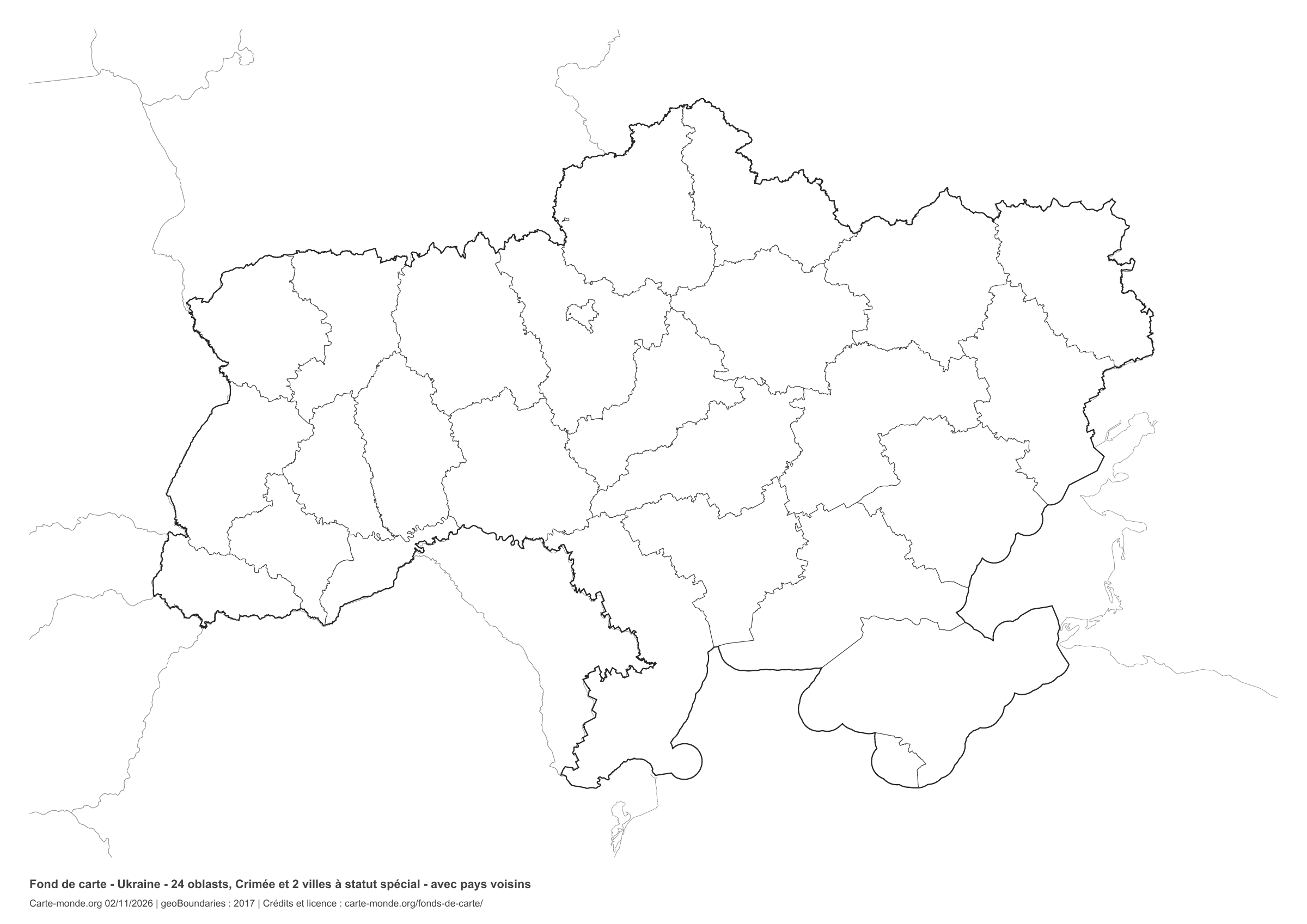
Coverage: All of Ukraine, including Crimea; reference administrative boundaries. Divisions: 24 oblasts, Crimea and 2 cities with special status.

Geographic reference year: 2017. The files’ edition date does not mean that all boundaries have been updated. The reference divisions do not describe current military control.

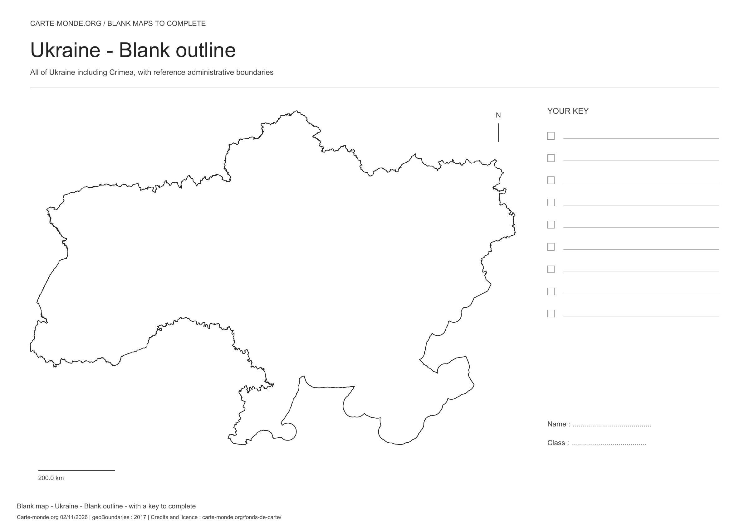
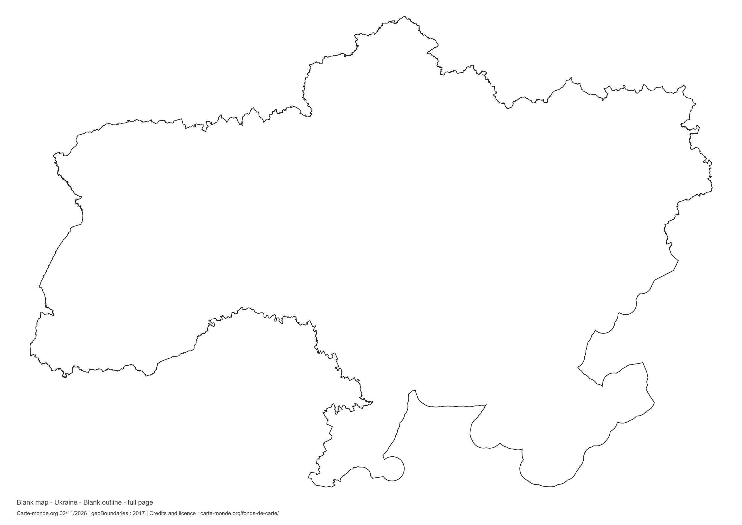
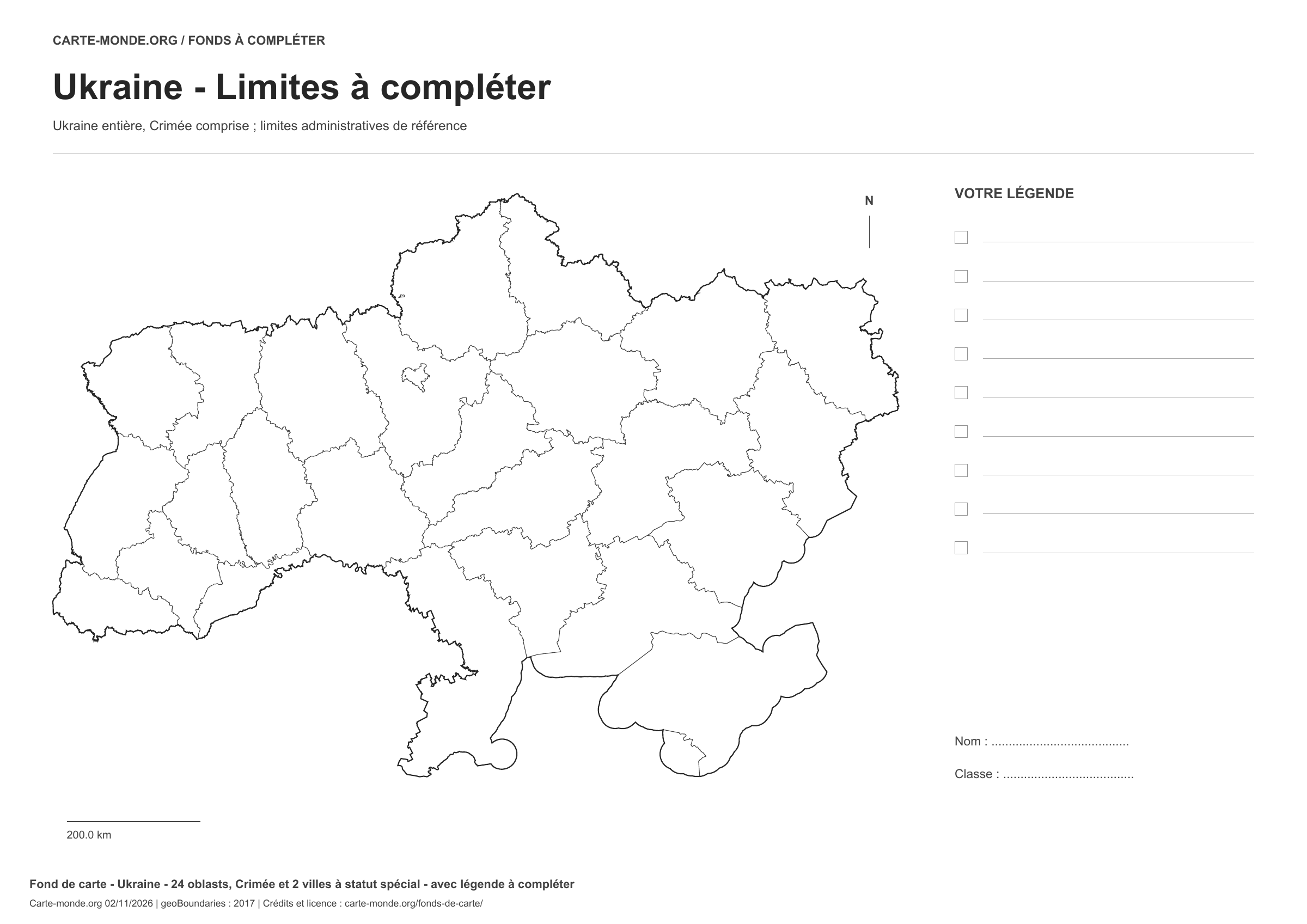
Ukraine: outline with space for a legend, base map without names

Model 1 · November 2026 edition

Outline with space for a legend

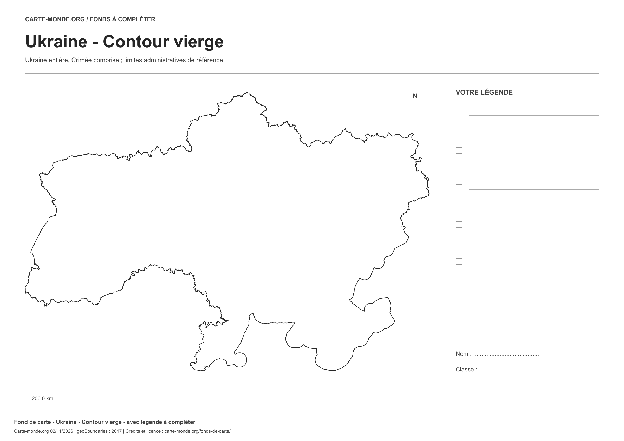
National outline without names or internal boundaries, to complete freely. Space for your key, name and class.

A4 landscape vector PDF · PNG 2 400 px

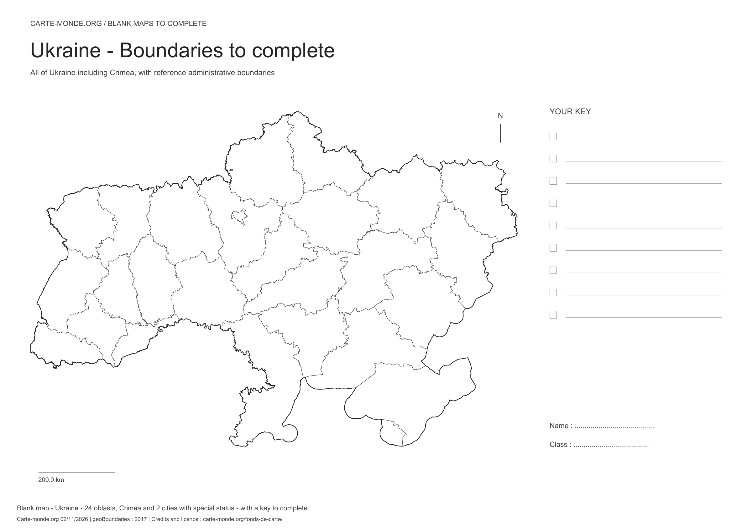
Ukraine: boundaries with space for a legend, base map without names

Model 2 · November 2026 edition

Boundaries with space for a legend

Divisions shown: 24 oblasts, Crimea and 2 special-status cities. Add names and colours. Space for your key, name and class.

A4 landscape vector PDF · PNG 2 400 px

Ukraine: full-page outline, base map without names

Model 3 · November 2026 edition

Full-page outline

National outline without names or internal boundaries, to complete freely. The map fills almost the entire sheet; only two reference lines appear at the bottom.

A4 landscape vector PDF · PNG 2 400 px

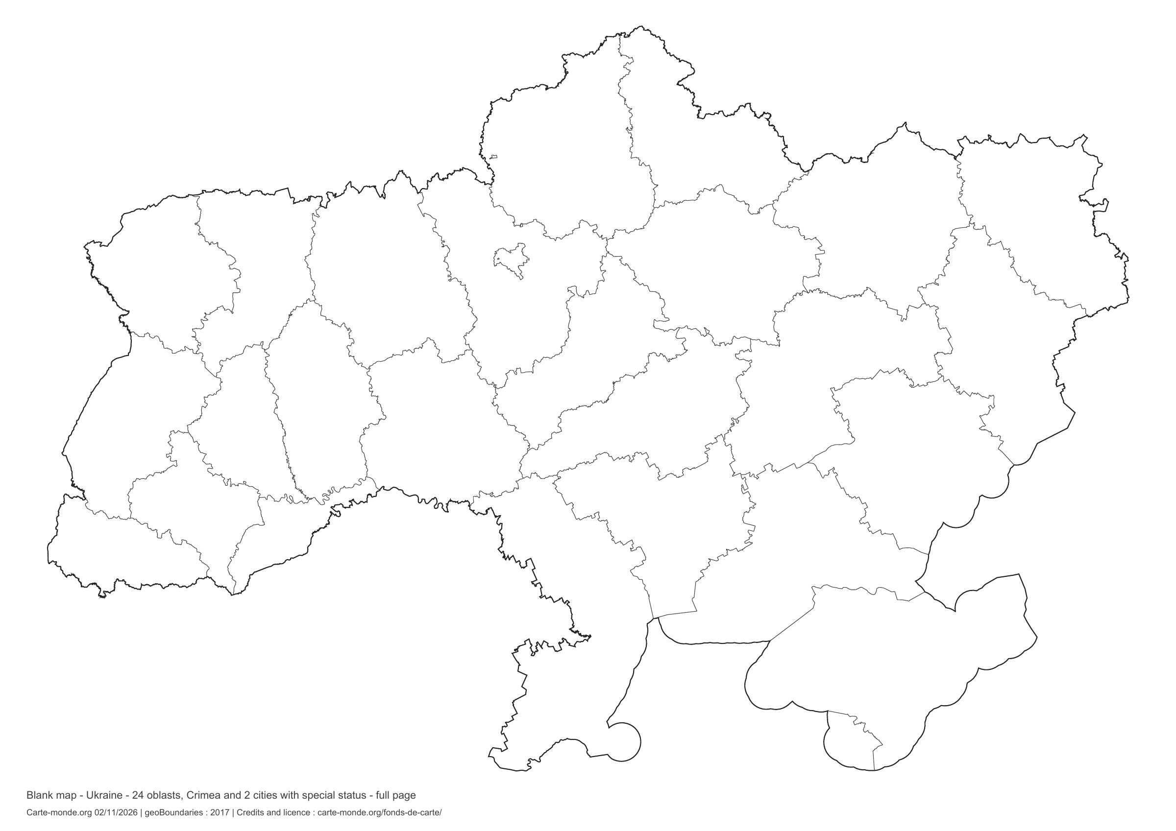
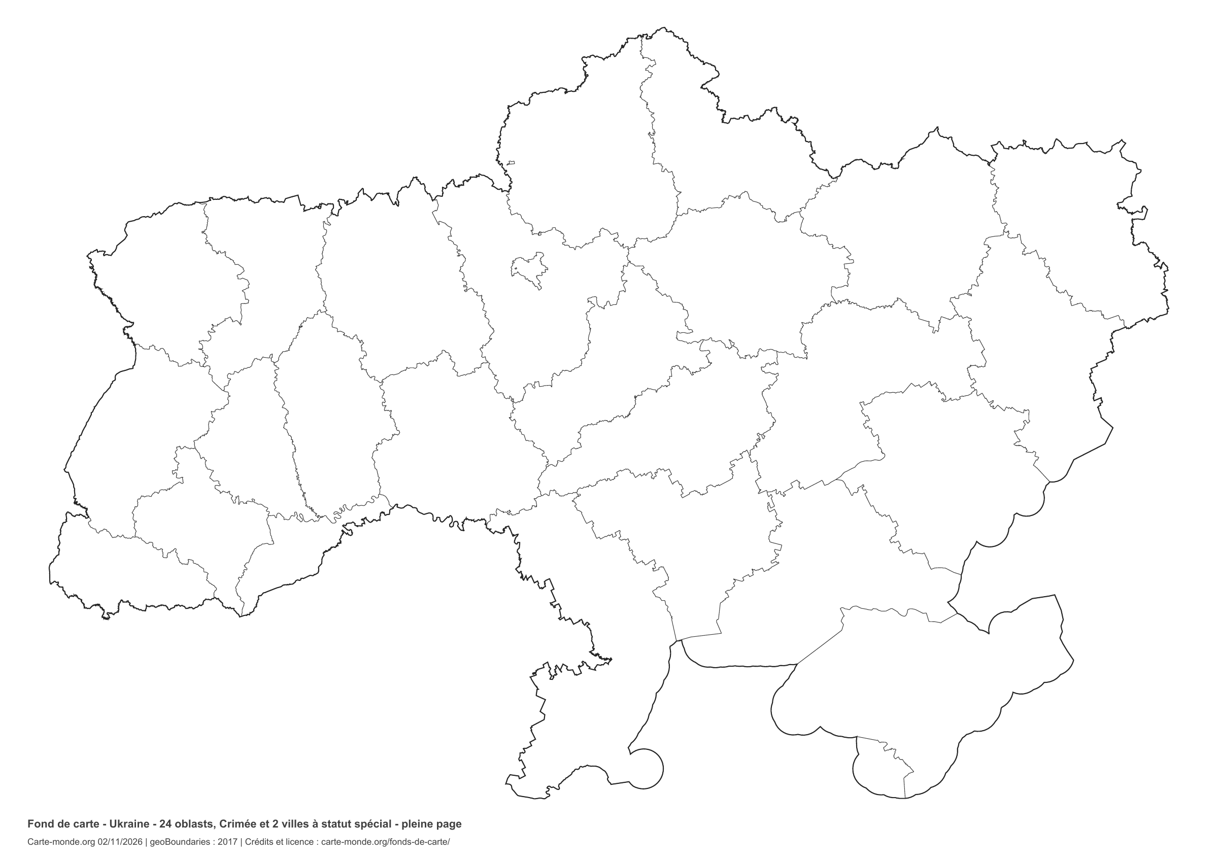
Ukraine: full-page boundaries, base map without names

Model 4 · November 2026 edition

Full-page boundaries

Divisions shown: 24 oblasts, Crimea and 2 cities with special status. Add names and colours. The map covers almost the entire sheet; only two reference lines appear at the bottom.

A4 landscape vector PDF · PNG 2 400 px

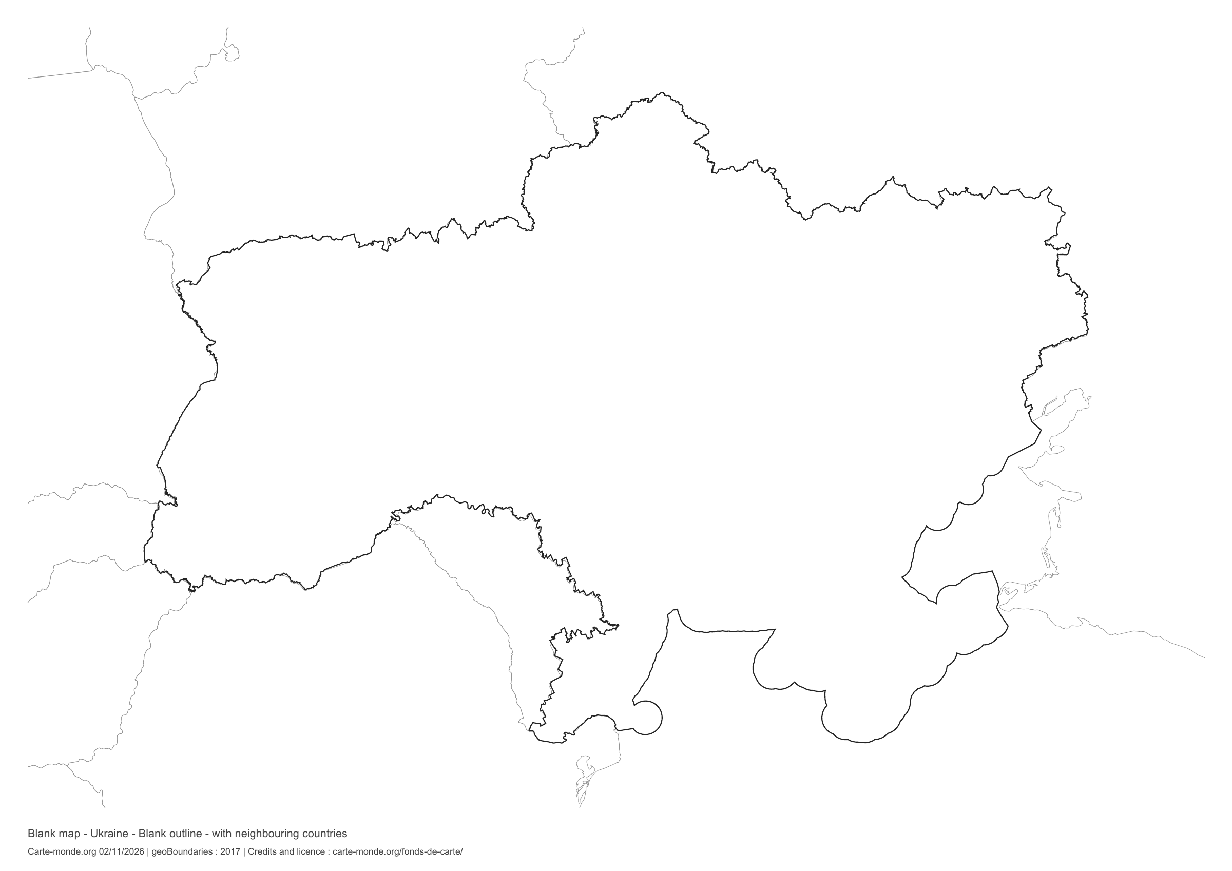
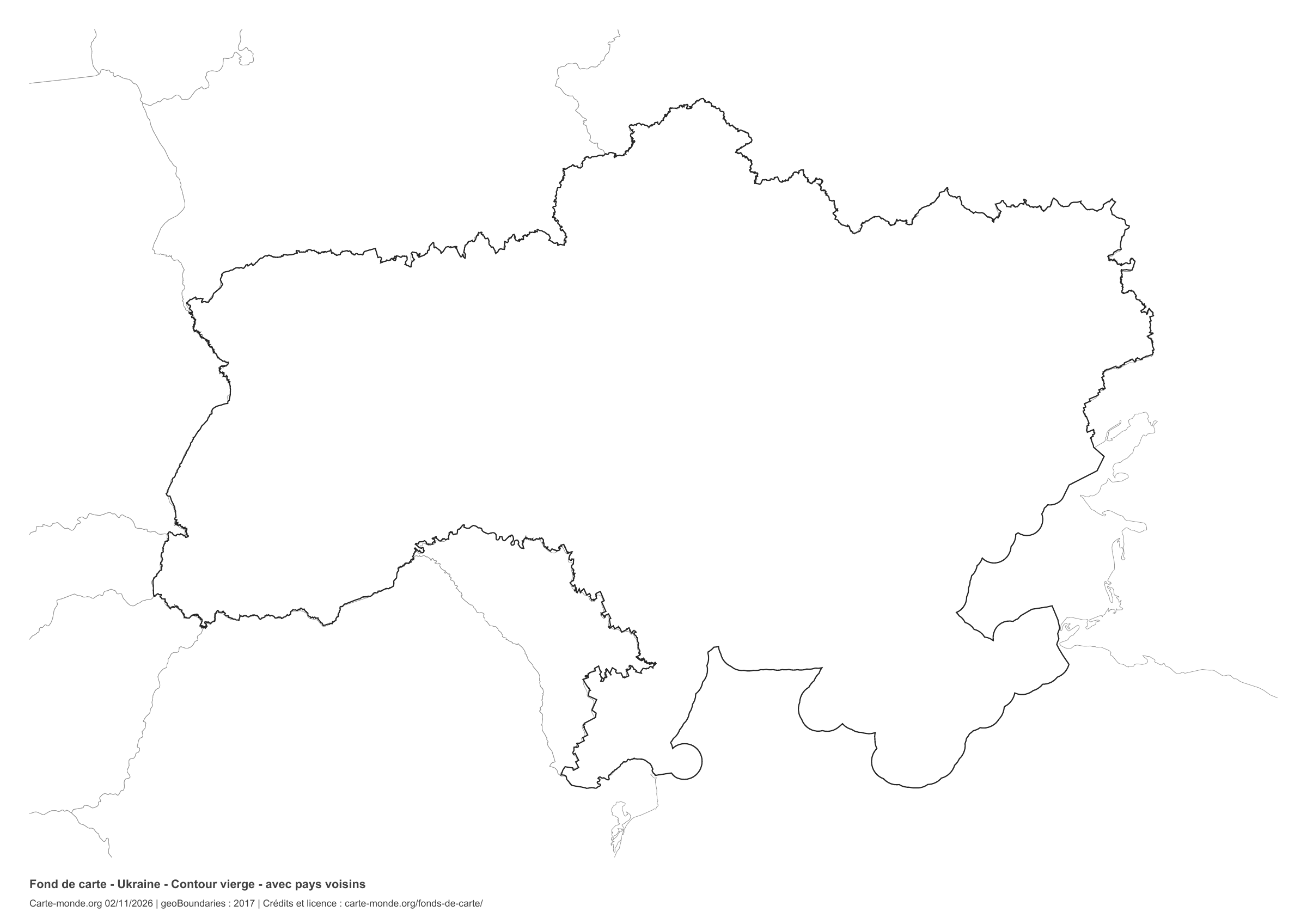
Ukraine: outline with neighbouring countries, base map without names

Model 5 · November 2026 edition

Outline with neighbouring countries

National outline without names or internal boundaries, to complete freely. Surrounding countries are shown with light outlines, without names or colour fills.

A4 landscape vector PDF · PNG 2 400 px

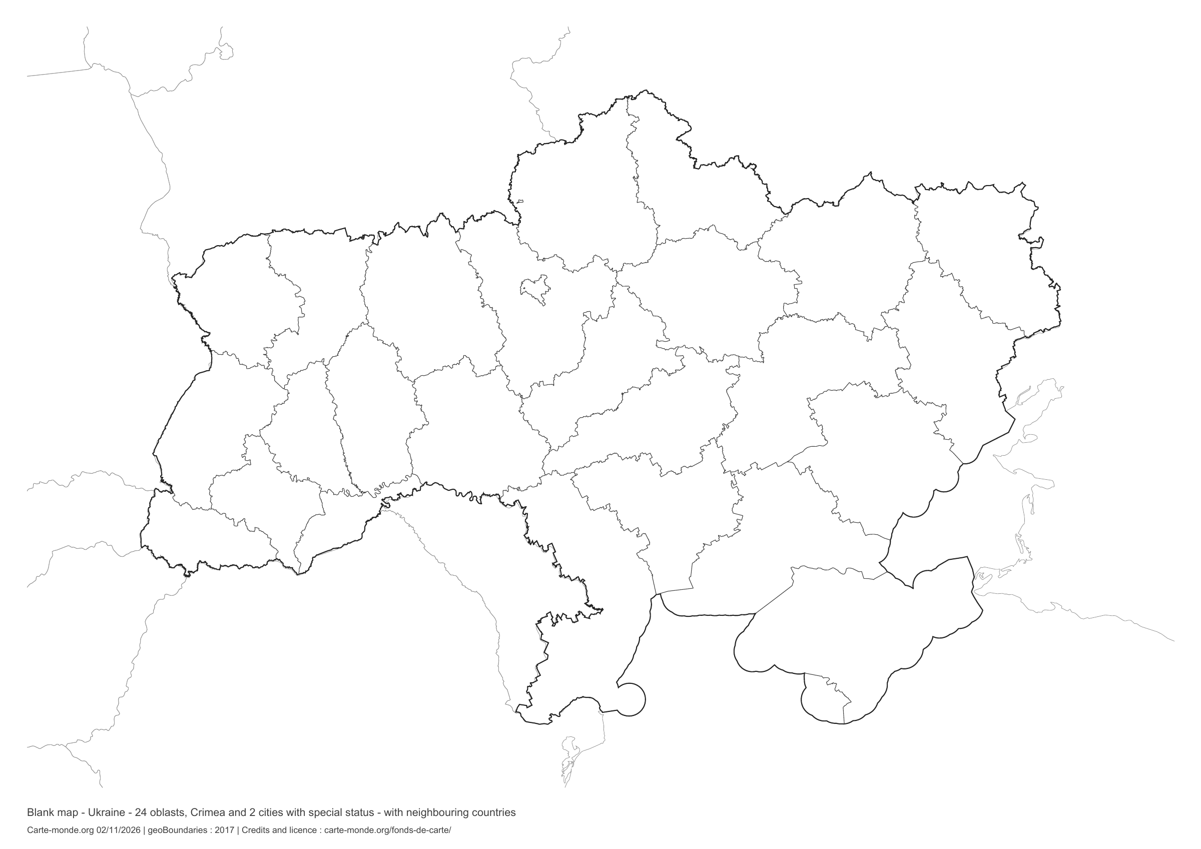
Ukraine: boundaries with neighbouring countries, base map without names

Model 6 · November 2026 edition

Boundaries with neighbouring countries

Divisions shown: 24 oblasts, Crimea and 2 special-status cities. Add names and colours. Surrounding countries are shown with light outlines, without names or colour fills.

A4 landscape vector PDF · PNG 2 400 px

The six-base-map pack

The six templates in PDF, PNG and editable SVG, with credits and reuse terms.

Download the six base maps — ZIP

Which base map should I choose?

The outline is suitable for freehand sketches: add a capital, cities or rivers. The version with boundaries lets you color or name the units shown in the divisions. Full-page versions enlarge the country and save ink. The last two maps add neighboring countries for location exercises.

Geographical names are deliberately omitted. Any inset titles indicate only their coverage and individual scales.

Maps of Ukraine: labelled maps and original collection.

Download and print

  1. Open the PDF for a sharp printout; choose the PNG for a document or presentation.
  2. Print on an A4 sheet using the file’s orientation. Use “Fit to page” if your printer requires it.
  3. Any insets use different scales from the main map. Retain the source notes at the bottom of the sheet.

To edit the outlines, open the pack’s SVG in a vector editor. These generalised maps are intended for exercises and presentations.

Sources and reuse

Geometries: geoBoundaries gbOpen, 2017. Primary source: OpenStreetMap, Wambacher. Licence stated in the metadata: Open Data Commons Open Database License 1.0. View the source metadata.

Neighbouring country outlines: Natural Earth 5.1.1, public domain. Layout by Carte-monde.org, 2 November 2026 edition, under CC BY 4.0. The data retain their attributions and licences; consult the ZIP notes before reuse.

Example credit: Carte-monde.org, edition dated 2 November 2026 — geoBoundaries / OpenStreetMap, Wambacher.

Continue exploring

Maps of Ukraine · Maps of European countries · Other maps and archives

Original French files

Maps of the European Union: the 27 member states

European Union maps: the 27 member states and capitals, population, world location and two blank maps to complete. PDFs and sources.

EUROPE AND THE EUROPEAN UNION

European Union maps: the 27 member states and capitals, population, world location and two blank maps to complete. PDFs and sources.

Map labels and downloadable files remain in their original language, often French.

Maps of Europe · Europe blank maps · EU maps · Maps of European countries

European Union and Europe: two distinct concepts

The European Union has 27 member states, according to the official list checked on 4 November 2026. Europe is a broader geographical area: the United Kingdom, Norway and Switzerland belong to it without being EU members.

These in-house maps show the territories within our European map extent. Territories outside this extent, including several outermost regions, are not shown. For overseas territories, also see the official map with insets below.

Three maps of the European Union

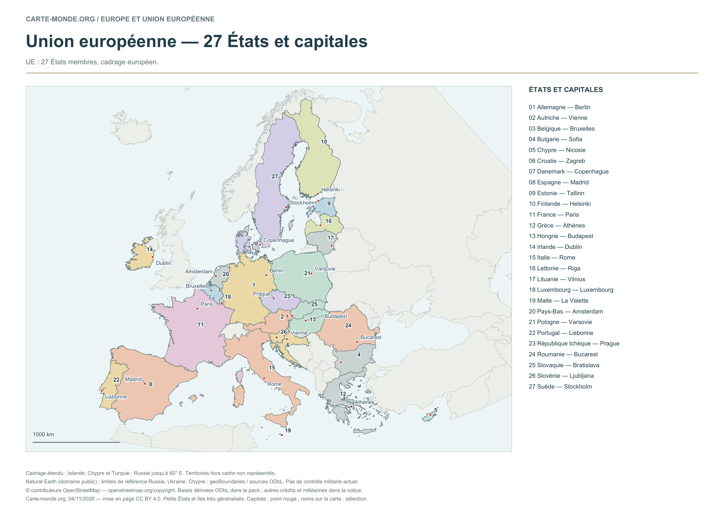
European Union — 27 states and capitals

Carte-monde.org · 4 November 2026

European Union — 27 states and capitals

The numbers refer to the key. Capitals are marked by dots; selected names appear on the map.

Layout CC BY 4.0. Sources: Natural Earth and, depending on the map, EU/JRC or geoBoundaries. Credits, dates and ODbL derived data in the pack.

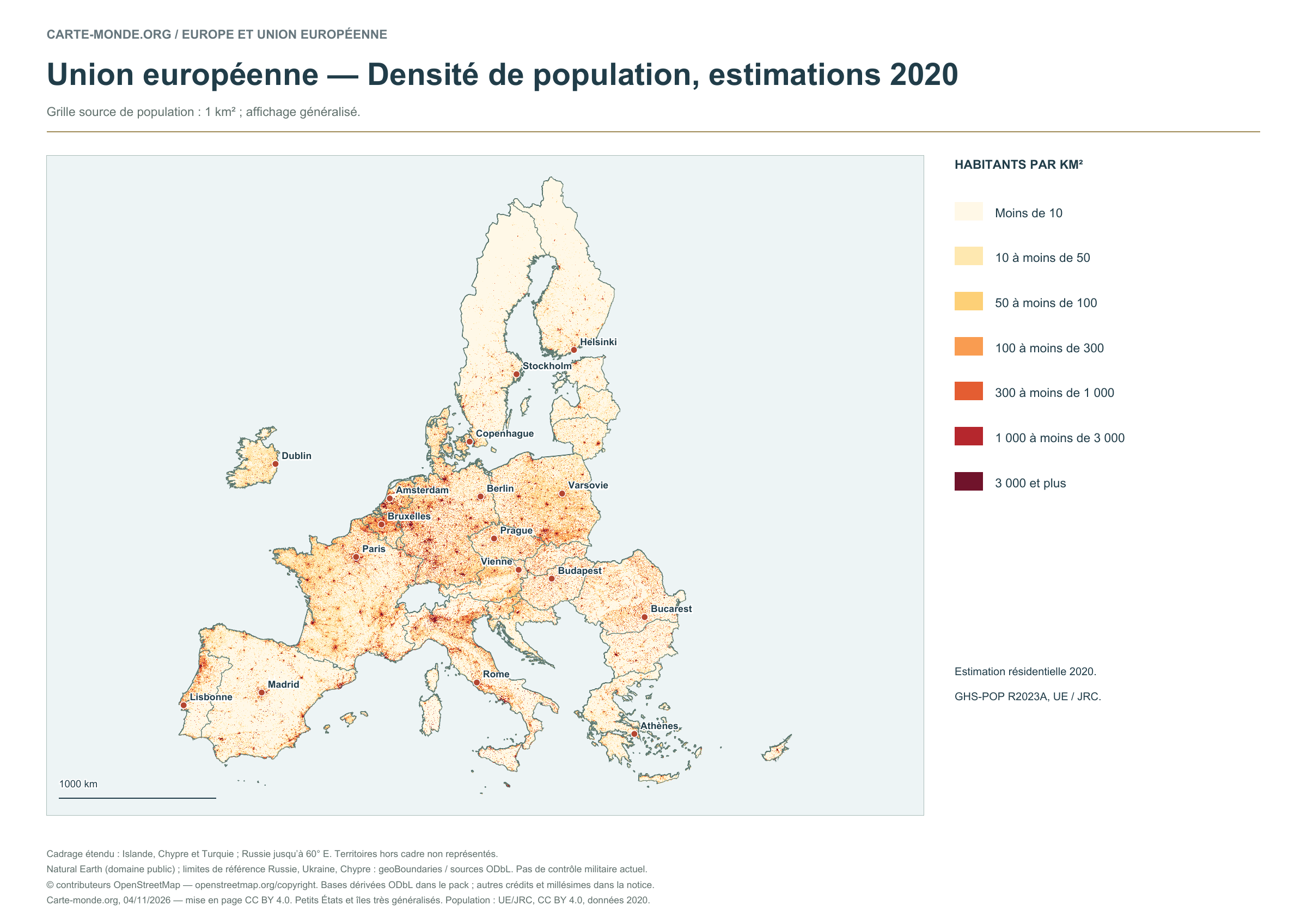
European Union — Population density, 2020 estimates

Carte-monde.org · 4 November 2026

European Union — Population density, 2020 estimates

Estimated residential population in 2020: GHS-POP R2023A, 1 km² source grid. Generalised display; the data year remains 2020.

Layout CC BY 4.0. Sources: Natural Earth and, depending on the map, EU/JRC or geoBoundaries. Credits, dates and ODbL derived data in the pack.

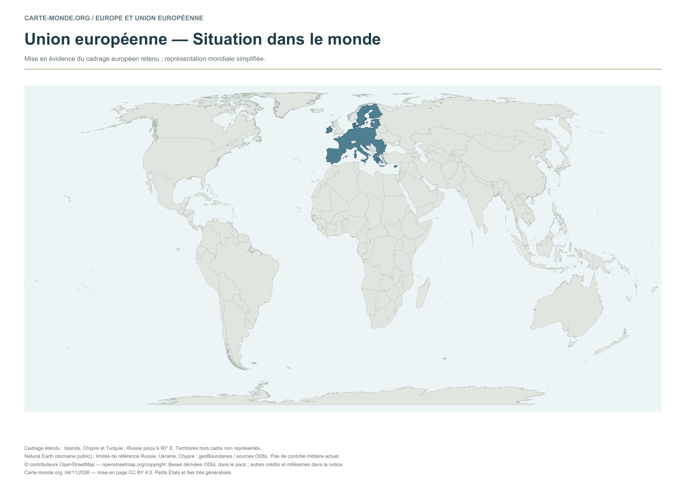
European Union — Location in the world

Carte-monde.org · 4 November 2026

European Union — Location in the world

The territory within the European map area is highlighted on a simplified world map.

Layout CC BY 4.0. Sources: Natural Earth and, depending on the map, EU/JRC or geoBoundaries. Credits, dates and ODbL derived data in the pack.

Two blank EU maps to complete

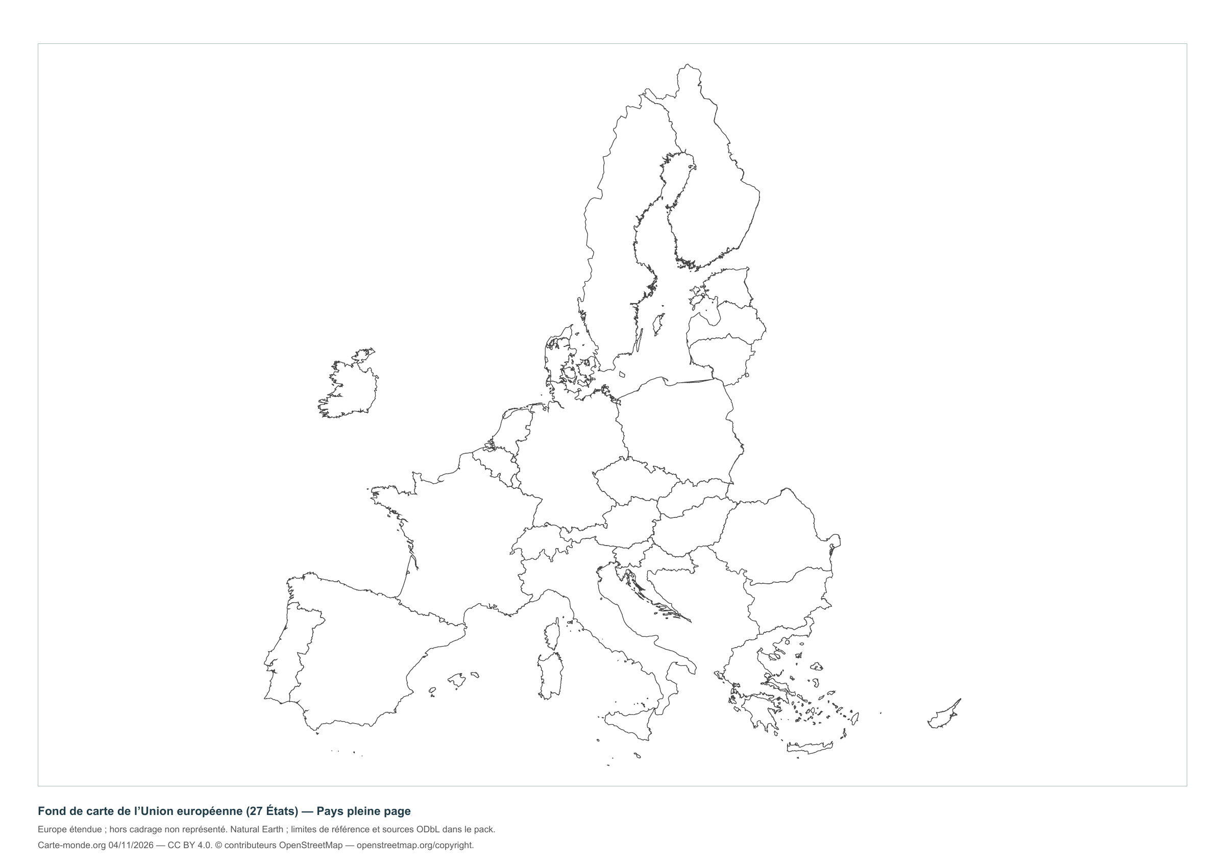
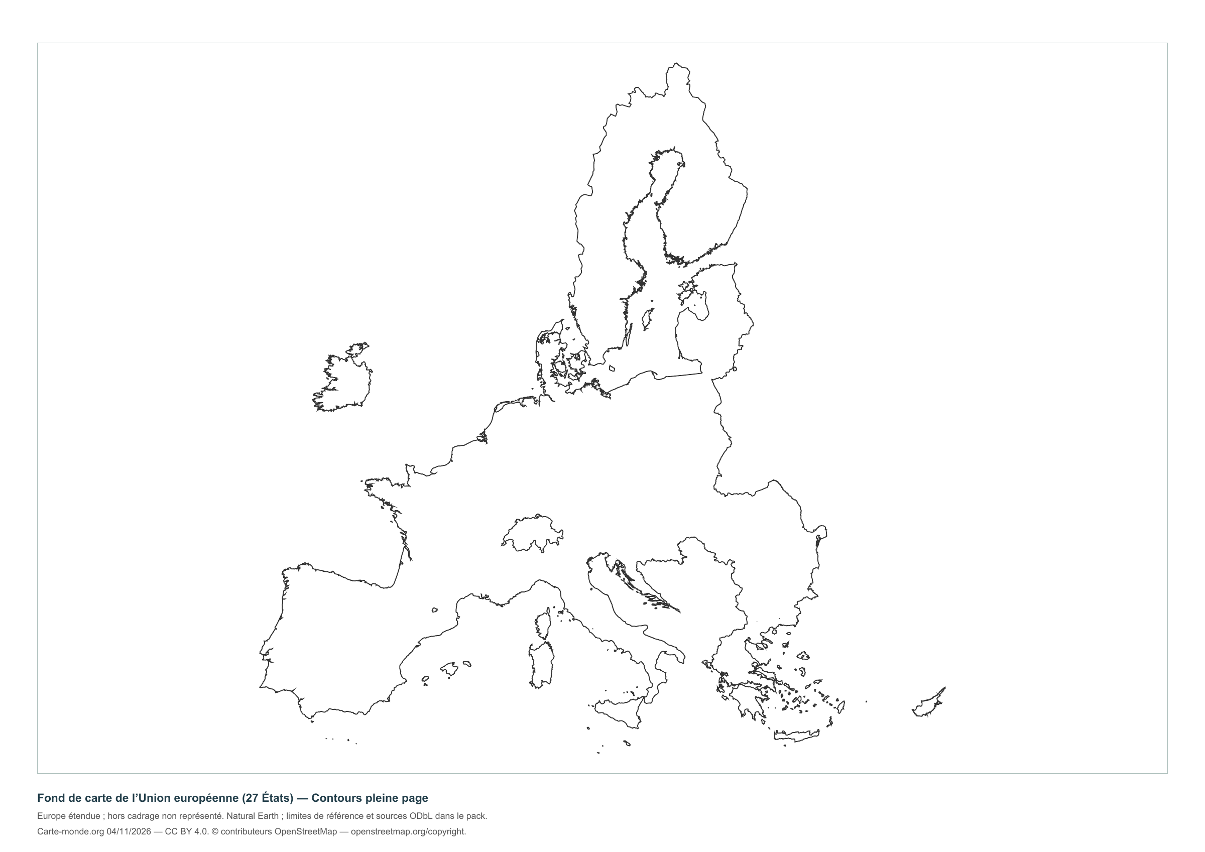
European Union — Full-page countries

Carte-monde.org · 4 November 2026

European Union — Full-page countries

Full-page version without names, with a brief reference at the bottom to reduce ink use.

Layout CC BY 4.0. Sources: Natural Earth and, depending on the map, EU/JRC or geoBoundaries. Credits, dates and ODbL derived data in the pack.

European Union — Full-page outlines

Carte-monde.org · 4 November 2026

European Union — Full-page outlines

Full-page version without names, with a brief reference at the bottom to reduce ink use.

Layout CC BY 4.0. Sources: Natural Earth and, depending on the map, EU/JRC or geoBoundaries. Credits, dates and ODbL derived data in the pack.

The three maps and two blank maps of the EU

A4 PDF, PNG and SVG with source documentation, licences and derived geometries.

Download the complete pack — ZIP

Official map of the European Union

The Council of the European Union offers a map of the 27 member states, with flags and insets for non-continental and overseas territories. The consulted page describes the 2020 edition and links to editions available from the Publications Office.

This reference links to the official source: no Council file has been rehosted here. The Council reproduction terms require source attribution and provide exceptions for third-party rights.

What area is shown?

Extended coverage including Iceland, Cyprus and Turkey; Russia is shown as far as approximately 60° E. Territories outside this area are not shown. Small states and islands are highly generalised.

The reference boundaries do not describe current military control. Kosovo is identified as a territory with disputed status; the map takes no position on that status.

Sources, reference years and reuse

Outlines, countries, capitals and rivers: Natural Earth, public domain. Natural Earth II relief: idealised natural cover, without elevation classes or topographic precision.

Reference boundaries for Russia, Ukraine and Cyprus: geoBoundaries and sources under ODbL. © contributors OpenStreetMap. The derived databases and their documentation are included in the packs and remain under ODbL. Kastellorizo supplement: EuroGeoGraphics / Regional IM Working Group – Europe / geoBoundaries, 2016 edition, CC BY 4.0.

Population: Schiavina et al., GHS-POP R2023A, 2020 estimates, © European Union/JRC, CC BY 4.0. Reference and method. The new layouts are available under CC BY 4.0 : credit Carte-monde.org, the authors, sources and dates. Historical and third-party maps retain their own rights.

View older maps, including the 2008 EU map.

Maps of Europe · Europe blank maps · EU maps · Maps of European countries

Maps of Africa

Mainland Africa and nearby islands, including Madagascar, Mauritius and the Seychelles.

Map labels and downloadable files remain in their original language, often French.

Three maps to explore the continent

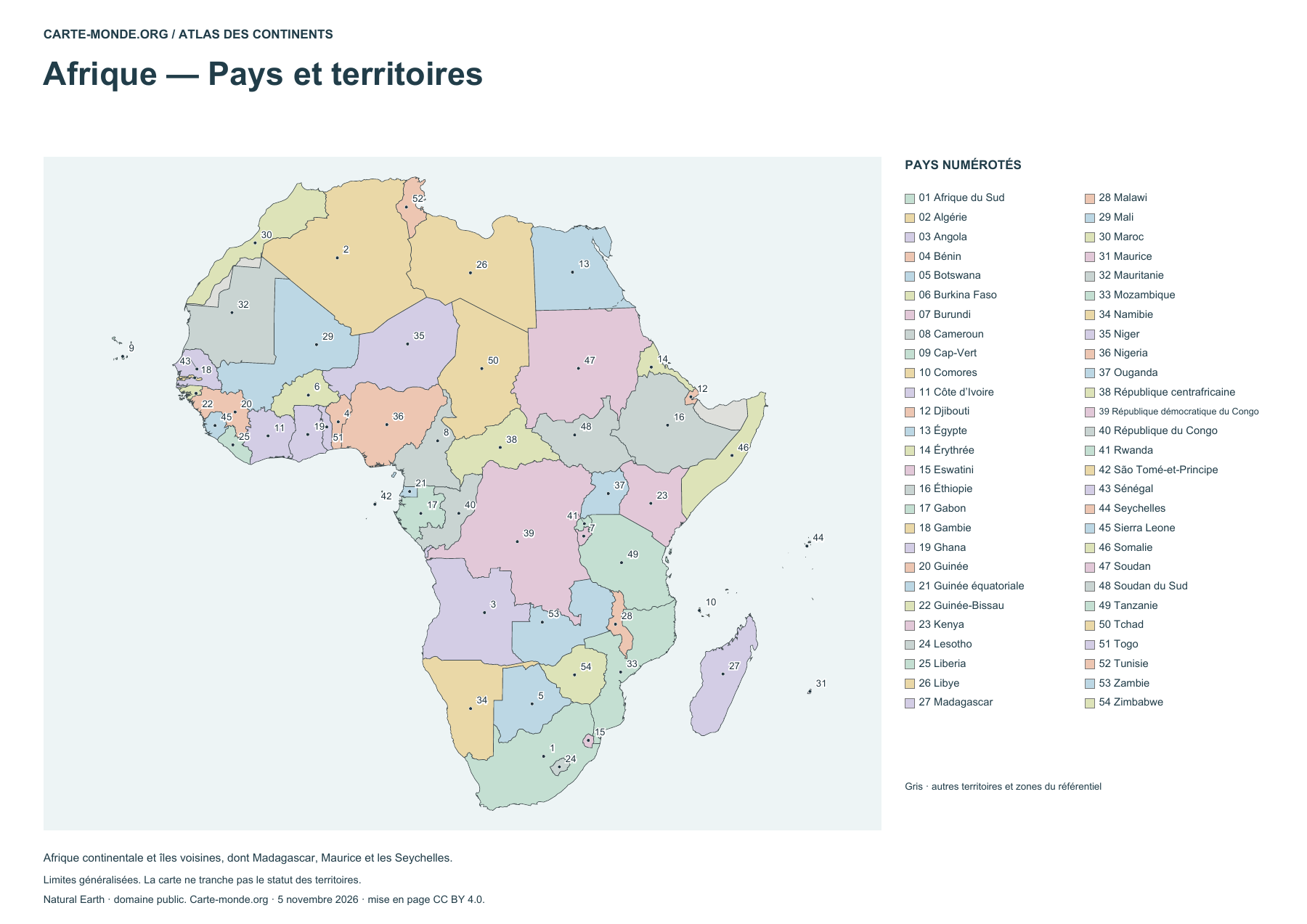
Africa — Countries and territories

Africa — Countries and territories

Locate countries using the numbered legend. Boundaries are generalized.

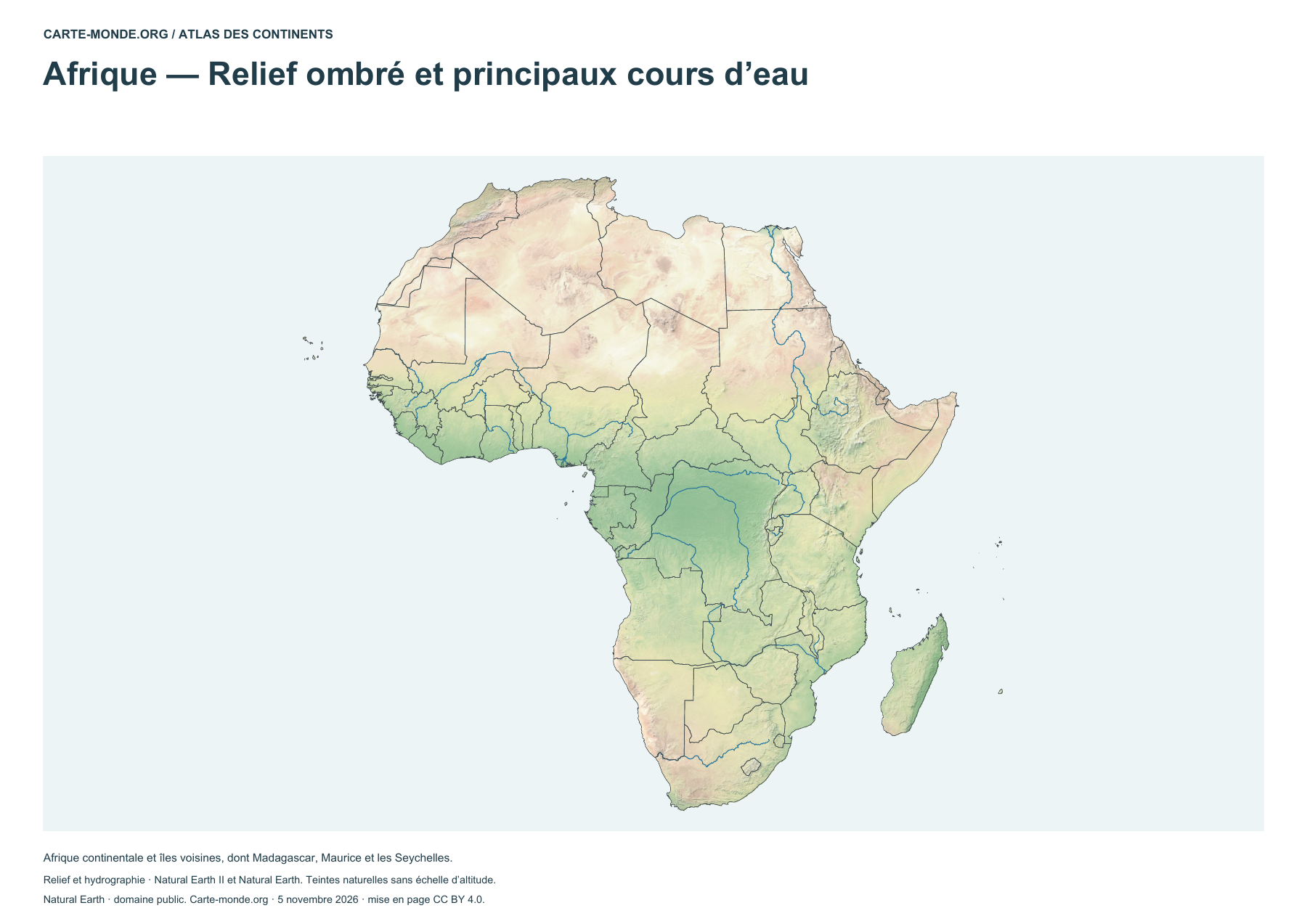
Africa — Shaded relief and main waterways

Africa — Shaded relief and main waterways

Identify landforms and main waterways. The natural colours do not form an elevation scale.

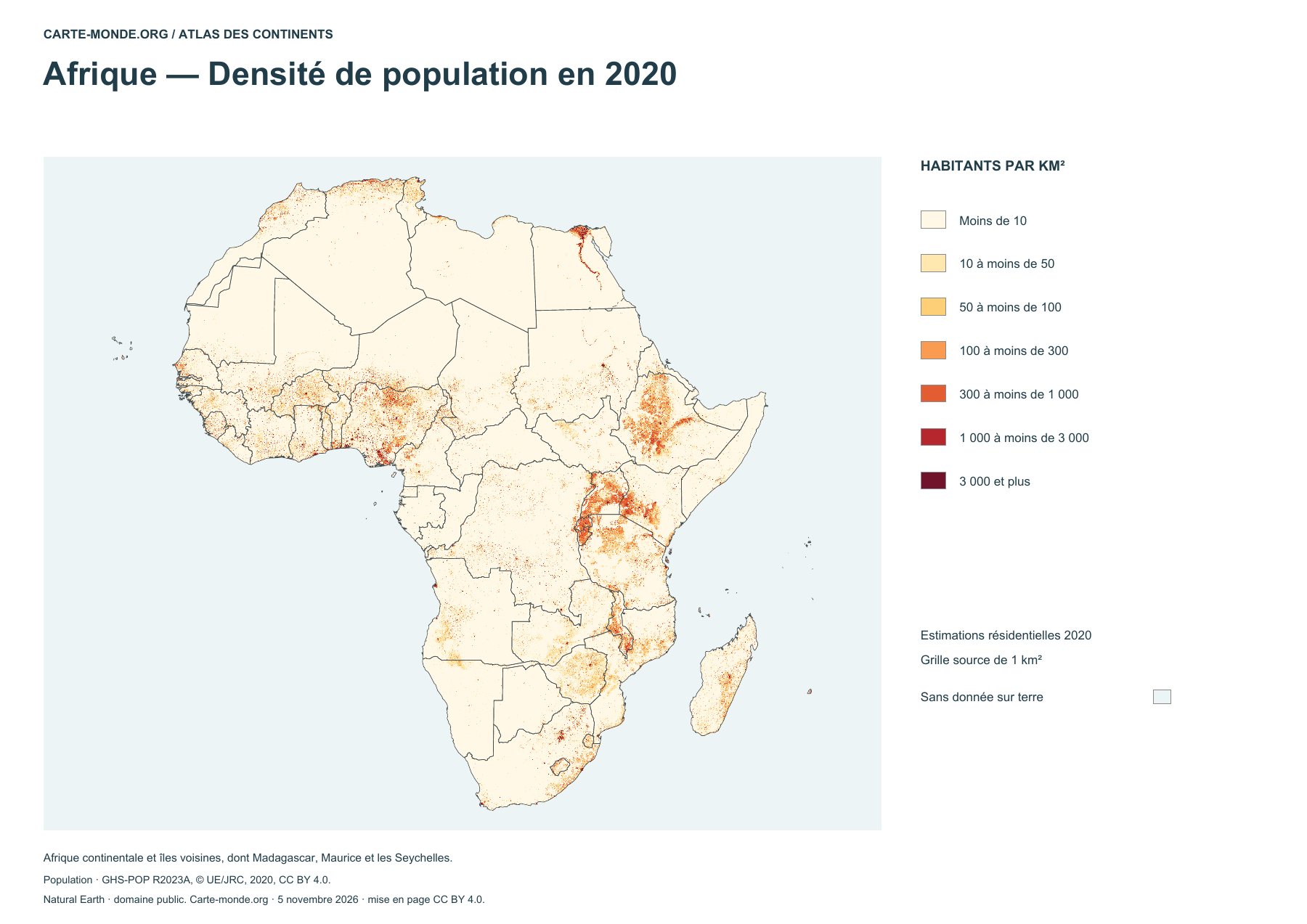
Africa — Population density in 2020

Africa — Population density in 2020

Estimated density in 2020, in inhabitants per square kilometer.

Complete collection

A4 PDF, PNG, SVG and source notes.

Download the ZIP pack

Sources and reuse

Boundaries, relief and hydrography: Natural Earth, public domain. Population: GHS-POP R2023A, © EU/JRC, 2020 estimates, CC BY 4.0. Layout by Carte-monde.org under CC BY 4.0. The generalised lines do not determine the status of disputed areas.

View articles in this section

Additional maps to reuse

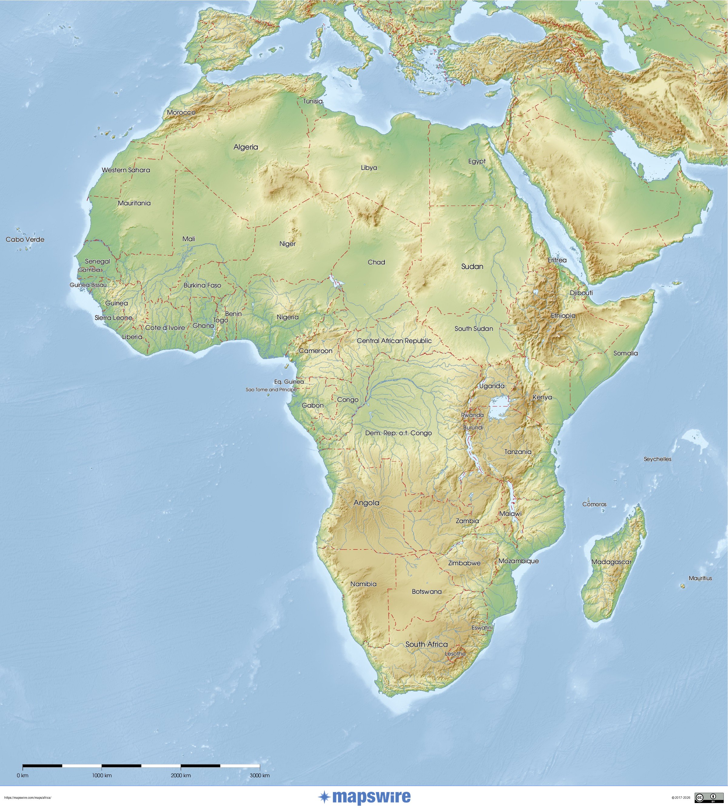
Detailed physical map

Detailed physical map

Terrain, major natural regions and geographical landmarks. Reference year not specified by the source.

Mapswire · CC BY 4.0.

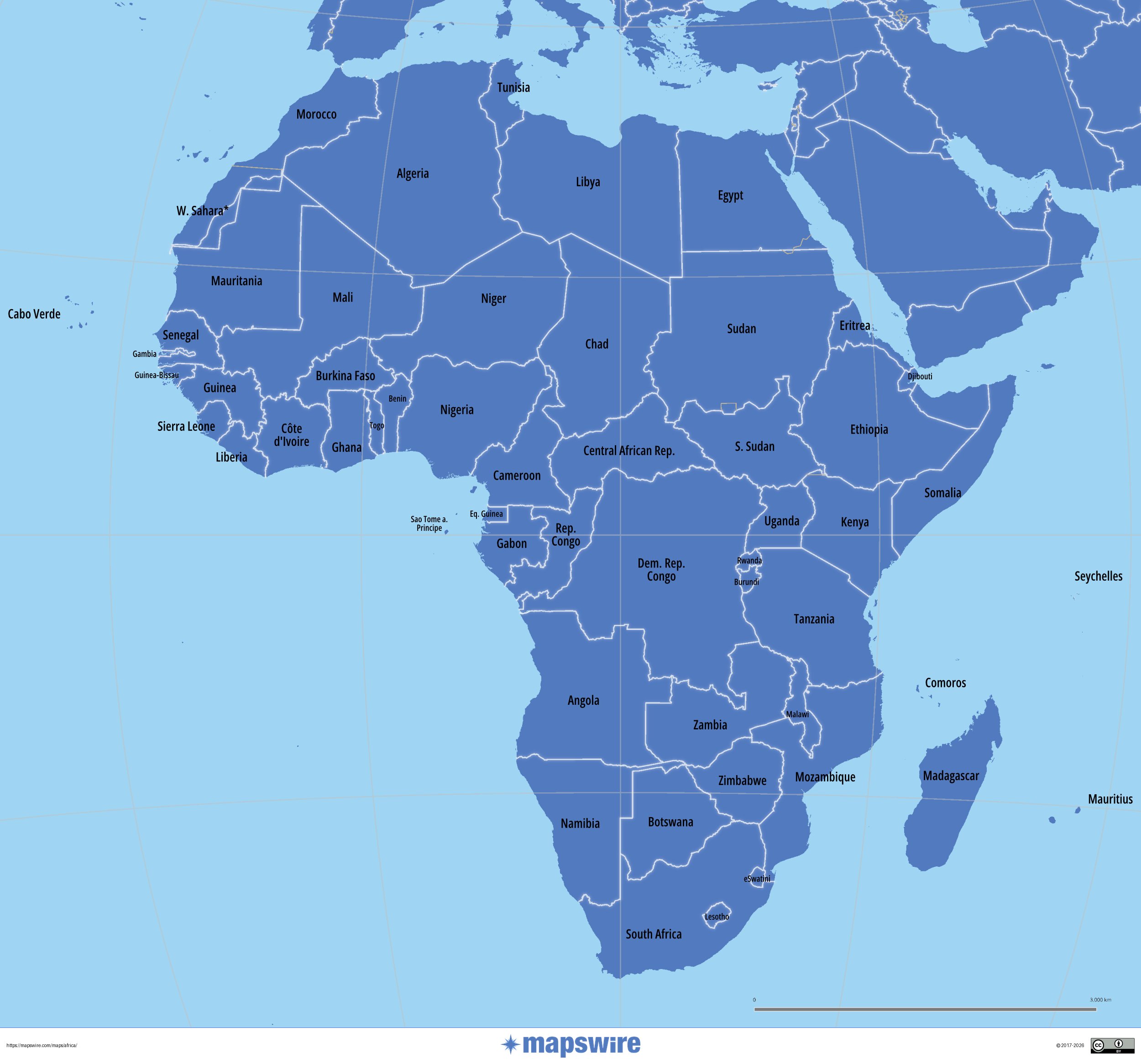
Political map with names

Political map with names

Countries and territories. Labels follow the source map. Reference year not specified by the source.

Mapswire · CC BY 4.0.

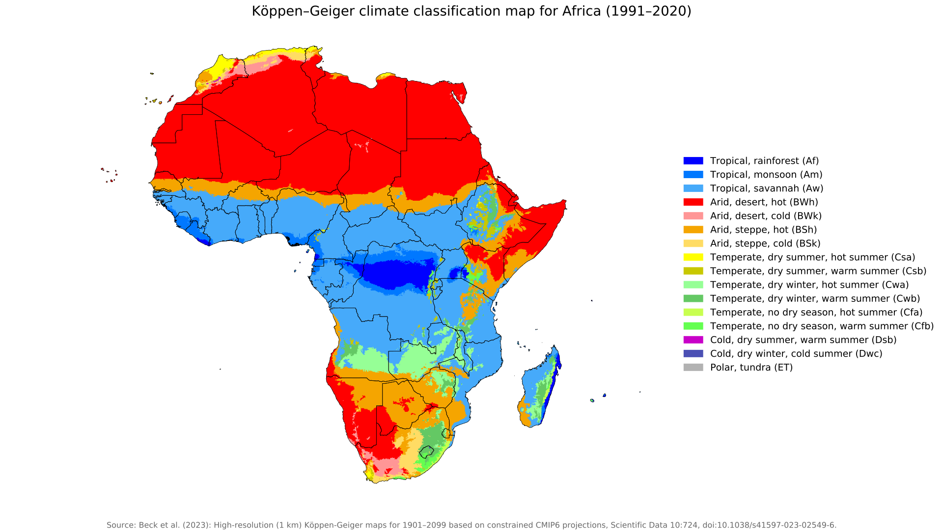
Köppen–Geiger climate zones (1991–2020)

Köppen–Geiger climate zones (1991–2020)

Climate classification by temperature and precipitation, with the original legend in English.

Beck, H. E., McVicar, T. R., Vergopolan, N., Alexis, B., Lutsko, N. J., Dufour, A., Zeng, Z., Jian, X., van Dijk, A. I. J. M. et Miralles, D. G. (2023) · CC BY 4.0.

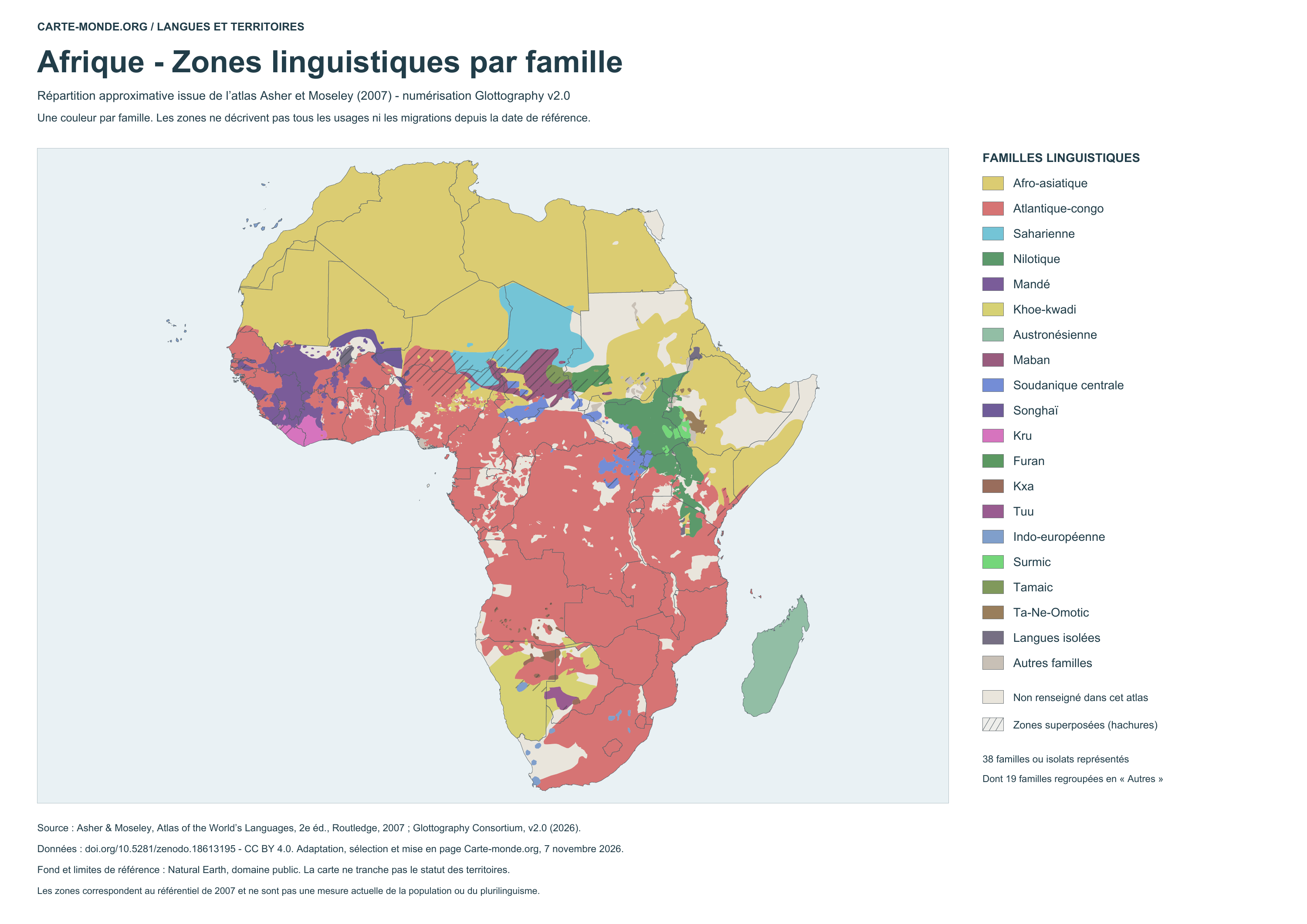
Language areas by family

Language areas by family - 2007 atlas

Language areas by family – 2007 atlas

Approximate distribution in colored areas. Reference 2007, with no migration updates since that date. Hatching: overlaps in the source; neutral background: areas without information.

Glottography v2.0, based on Asher and Moseley, 2007 atlas · CC BY 4.0. Adaptation by Carte-monde.org.

World Heritage and languages

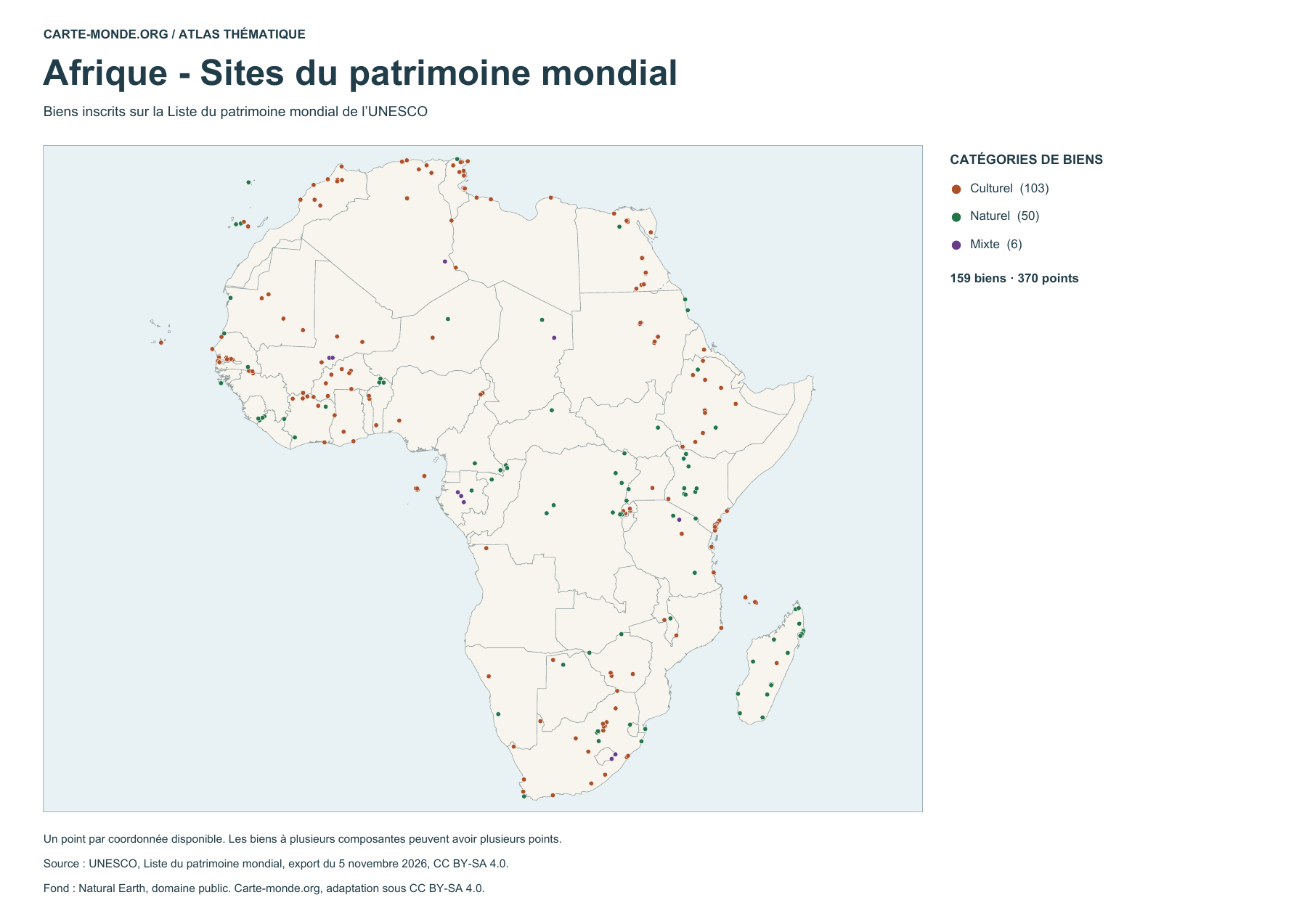
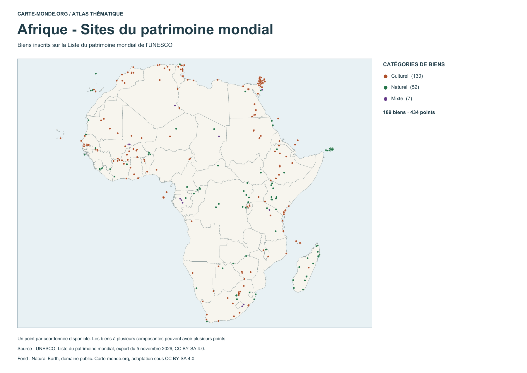
Africa — World Heritage sites

Africa — World Heritage sites

159 listed properties represented by 370 points. Some properties have several components. Sites are plotted by their coordinates within the map area.

UNESCO · World Heritage List, export dated 5 November 2026 · CC BY-SA 4.0. Natural Earth base map, public domain.

First version of the UNESCO map

Edition replaced after checking the map coverage. Older PNG · Older PDF

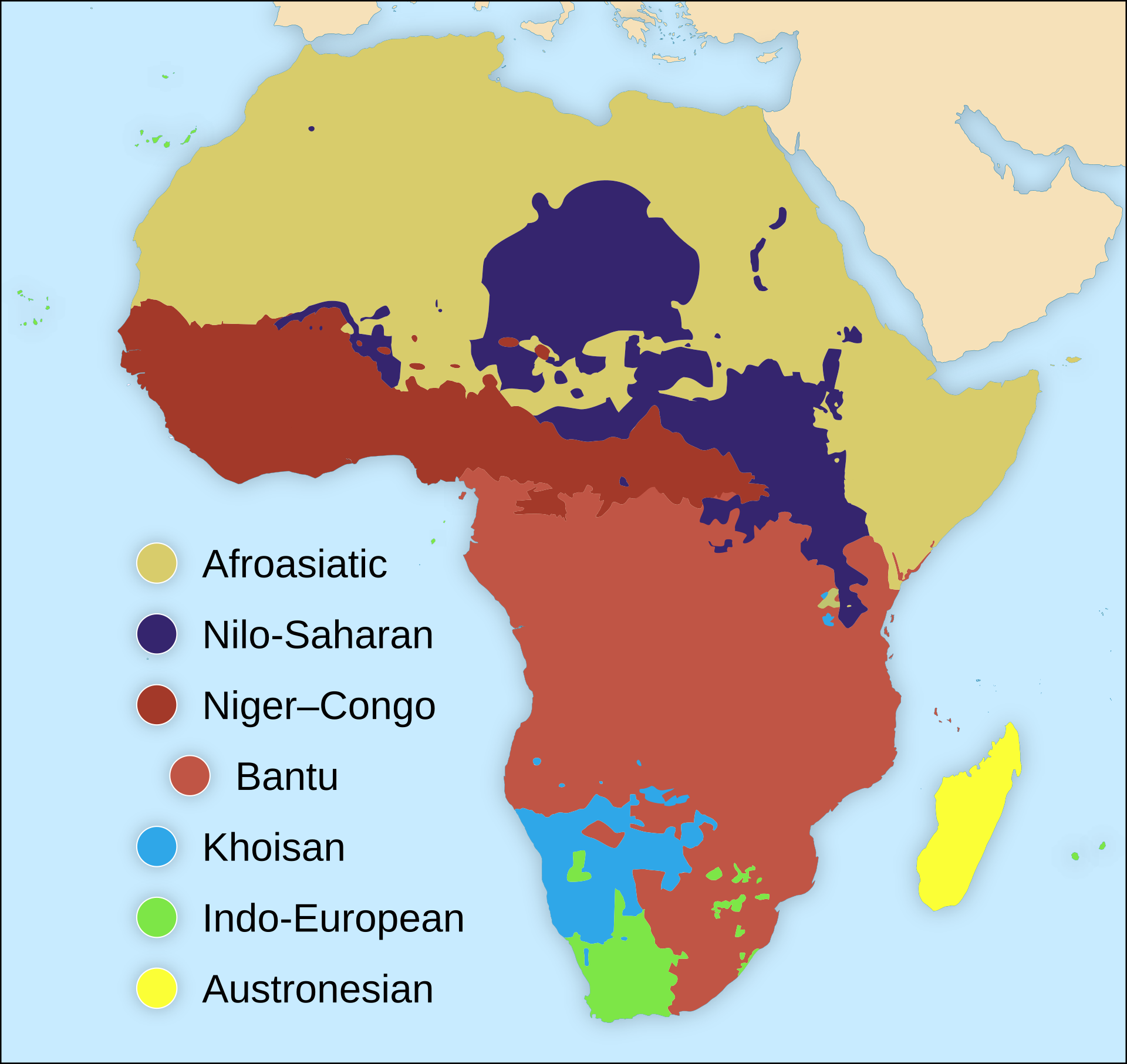
Language families of Africa

Language families of Africa

Overview map of the main language families. The areas shown are approximate.

SUM1, after Mark Dingemanse, base map by Sting · CC BY-SA 4.0.

Ethnolinguistic archive

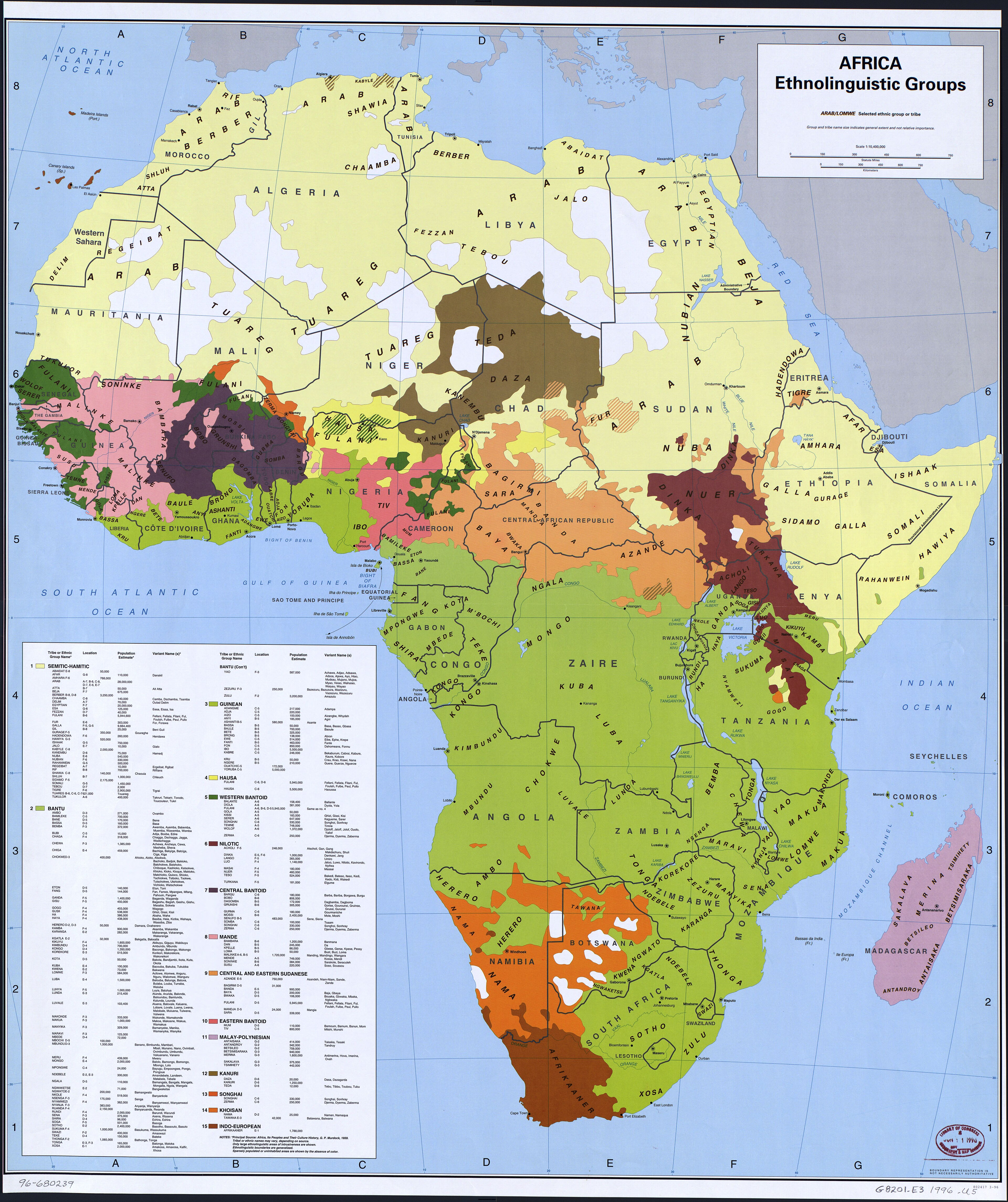
Ethnolinguistic groups of Africa — historical map (1996)

Ethnolinguistic groups of Africa — historical map (1996)

Map published by the CIA in 1996, based mainly on George P. Murdock’s work published in 1959. It reflects the categories and areas described in these historical sources.

Central Intelligence Agency · Library of Congress, Geography and Map Division · Free to reuse according to the Library of Congress.

Blank maps of Africa

Mainland Africa and nearby islands, including Madagascar, Mauritius and the Seychelles.

Map labels and downloadable files remain in their original language, often French.

Four blank maps to complete

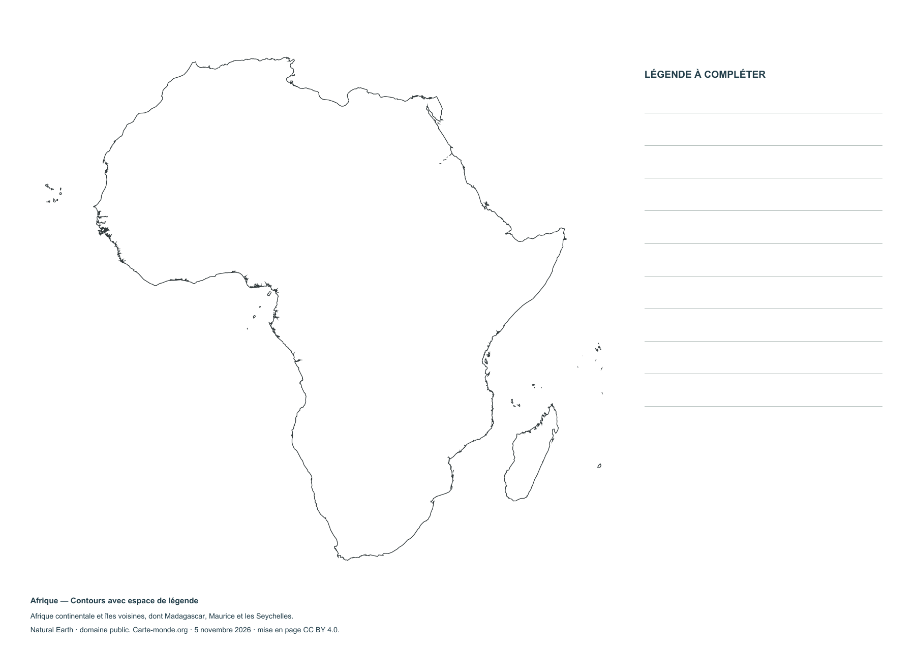
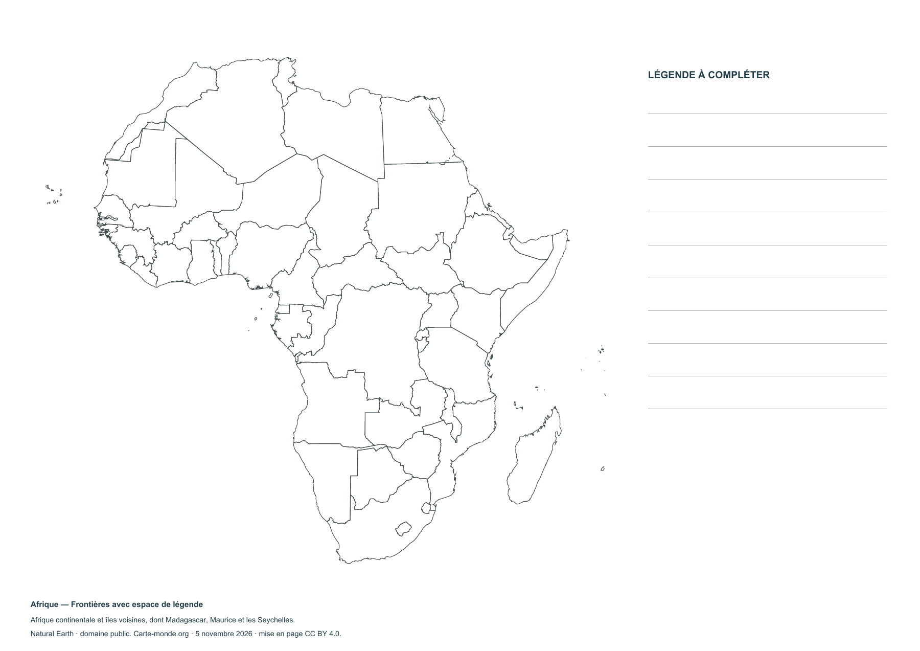
Africa — Outlines with space for a legend

Africa — Outlines with space for a legend

Blank map to print and complete.

Africa — Borders with space for a key

Africa — Borders with space for a key

Blank map to print and complete.

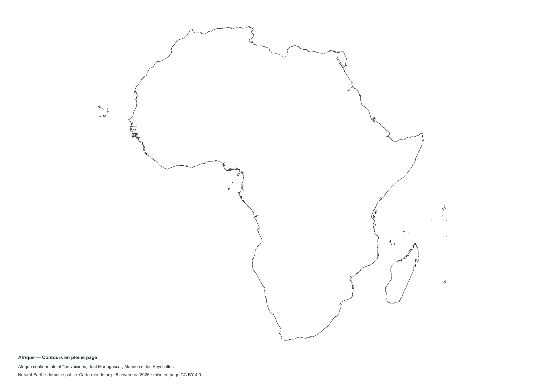
Africa — Full-page outlines

Africa — Full-page outlines

Blank map to print and complete.

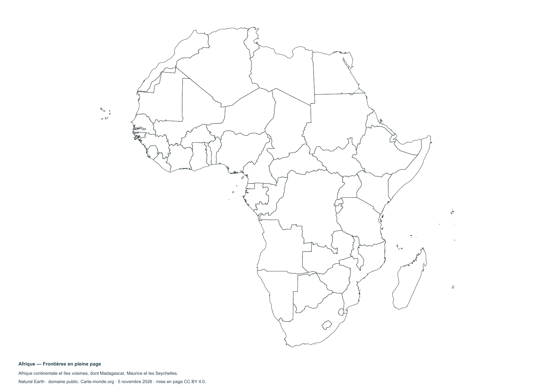
Africa — Full-page boundaries

Africa — Full-page boundaries

Blank map to print and complete.

Complete collection

A4 PDF, PNG, SVG and source notes.

Download the ZIP pack

Sources and reuse

Boundaries, relief and hydrography: Natural Earth, public domain. Population: GHS-POP R2023A, © EU/JRC, 2020 estimates, CC BY 4.0. Layout by Carte-monde.org under CC BY 4.0. The generalised lines do not determine the status of disputed areas.

View articles in this section

Maps of the Americas

North America, Central America, the Caribbean and South America, including Greenland. Hawaii and the part of the Aleutian Islands beyond the 180th meridian are outside the map.

Map labels and downloadable files remain in their original language, often French.

Three maps to explore the continent

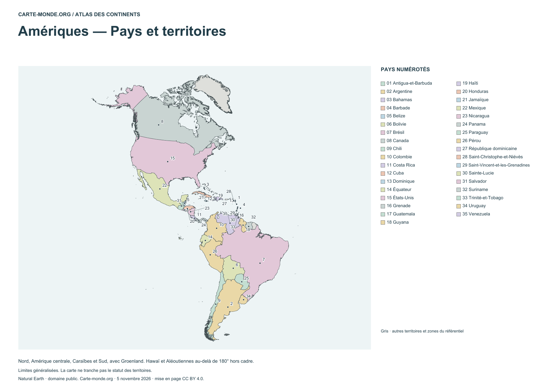
Americas — Countries and territories

Americas — Countries and territories

Locate countries using the numbered legend. Boundaries are generalized.

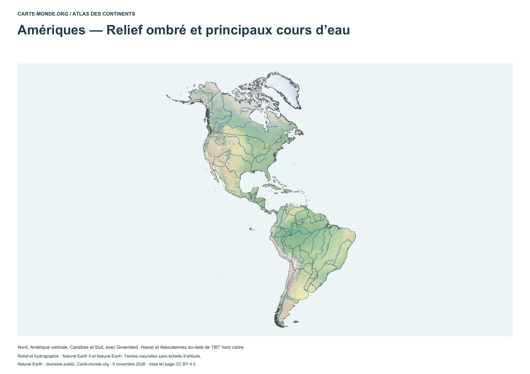
Americas — Shaded relief and main rivers

Americas — Shaded relief and main rivers

Identify landforms and main waterways. The natural colours do not form an elevation scale.

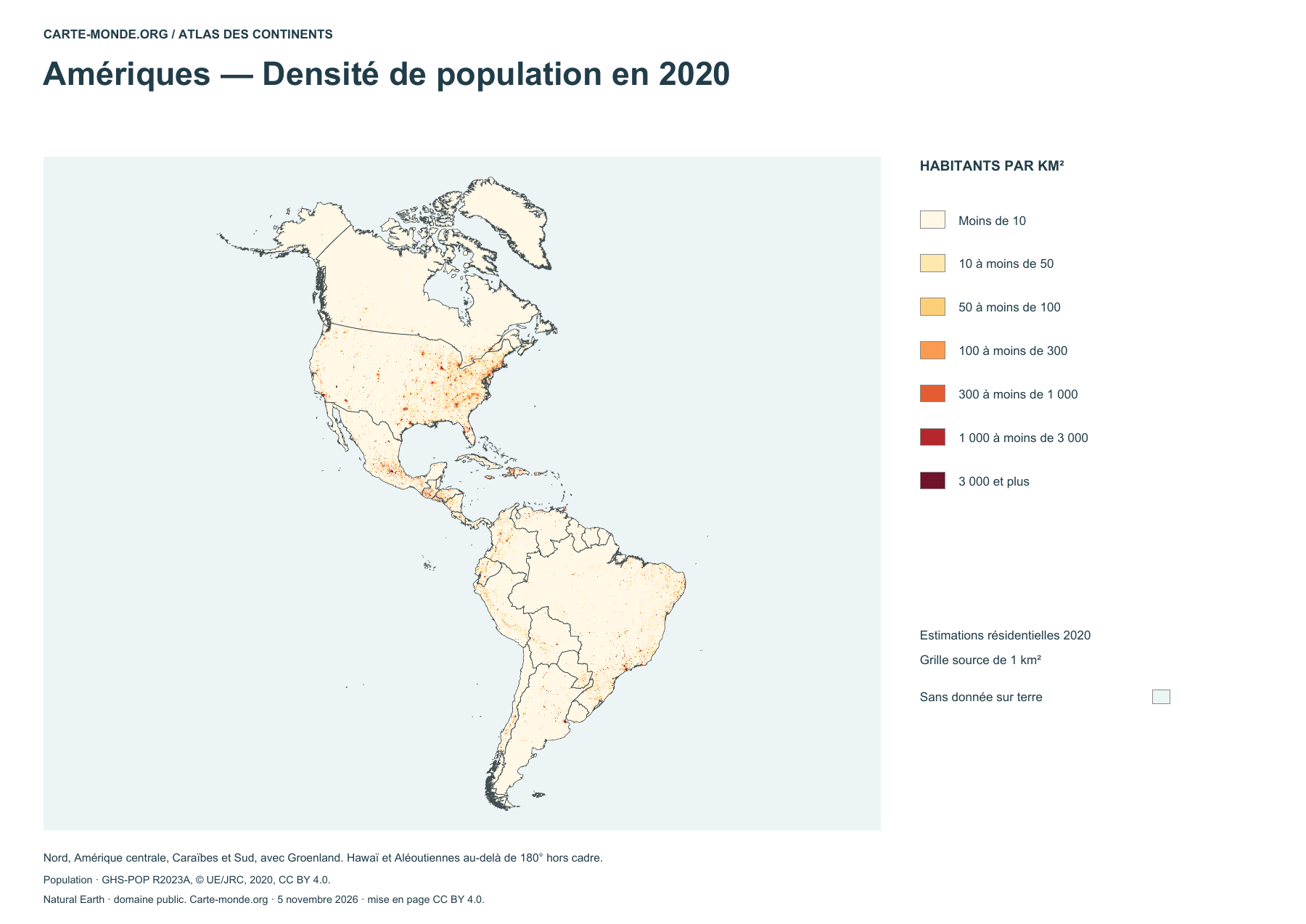
Americas — Population density in 2020

Americas — Population density in 2020

Estimated density in 2020, in inhabitants per square kilometer.

Complete collection

A4 PDF, PNG, SVG and source notes.

Download the ZIP pack

Sources and reuse

Boundaries, relief and hydrography: Natural Earth, public domain. Population: GHS-POP R2023A, © EU/JRC, 2020 estimates, CC BY 4.0. Layout by Carte-monde.org under CC BY 4.0. The generalised lines do not determine the status of disputed areas.

View articles in this section

North America and South America

North America

Maps and blank maps at a regional scale.

South America

Maps and blank maps at a regional scale.

Additional maps to reuse

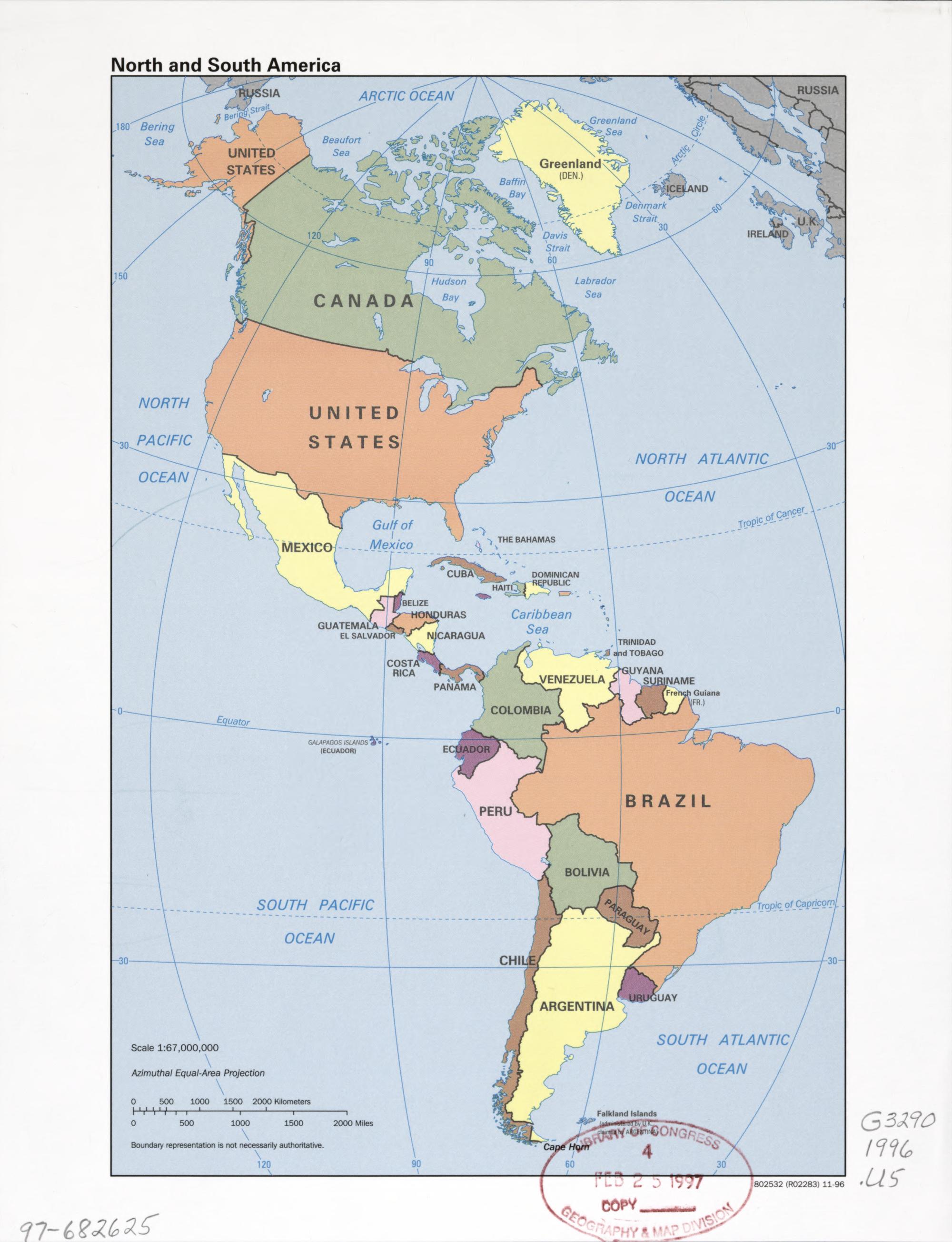
Historical map of the Americas (1996)

Historical map of the Americas (1996)

CIA reference map published in 1996. Names and boundaries reflect that edition.

Central Intelligence Agency · Library of Congress, Geography and Map Division · Free to reuse according to the Library of Congress.

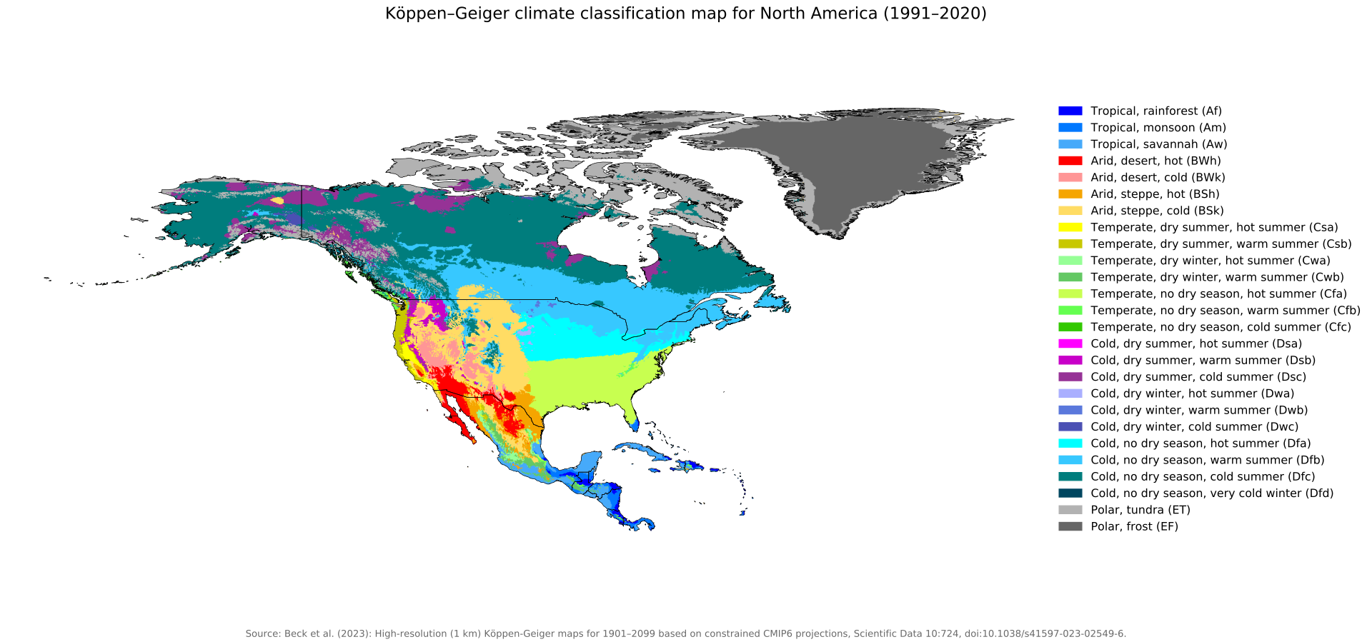
Köppen–Geiger climate zones (1991–2020) · North America

Köppen–Geiger climate zones (1991–2020) · North America

Climate classification by temperature and precipitation, with the original legend in English.

Beck, H. E., McVicar, T. R., Vergopolan, N., Alexis, B., Lutsko, N. J., Dufour, A., Zeng, Z., Jian, X., van Dijk, A. I. J. M. et Miralles, D. G. (2023) · CC BY 4.0.

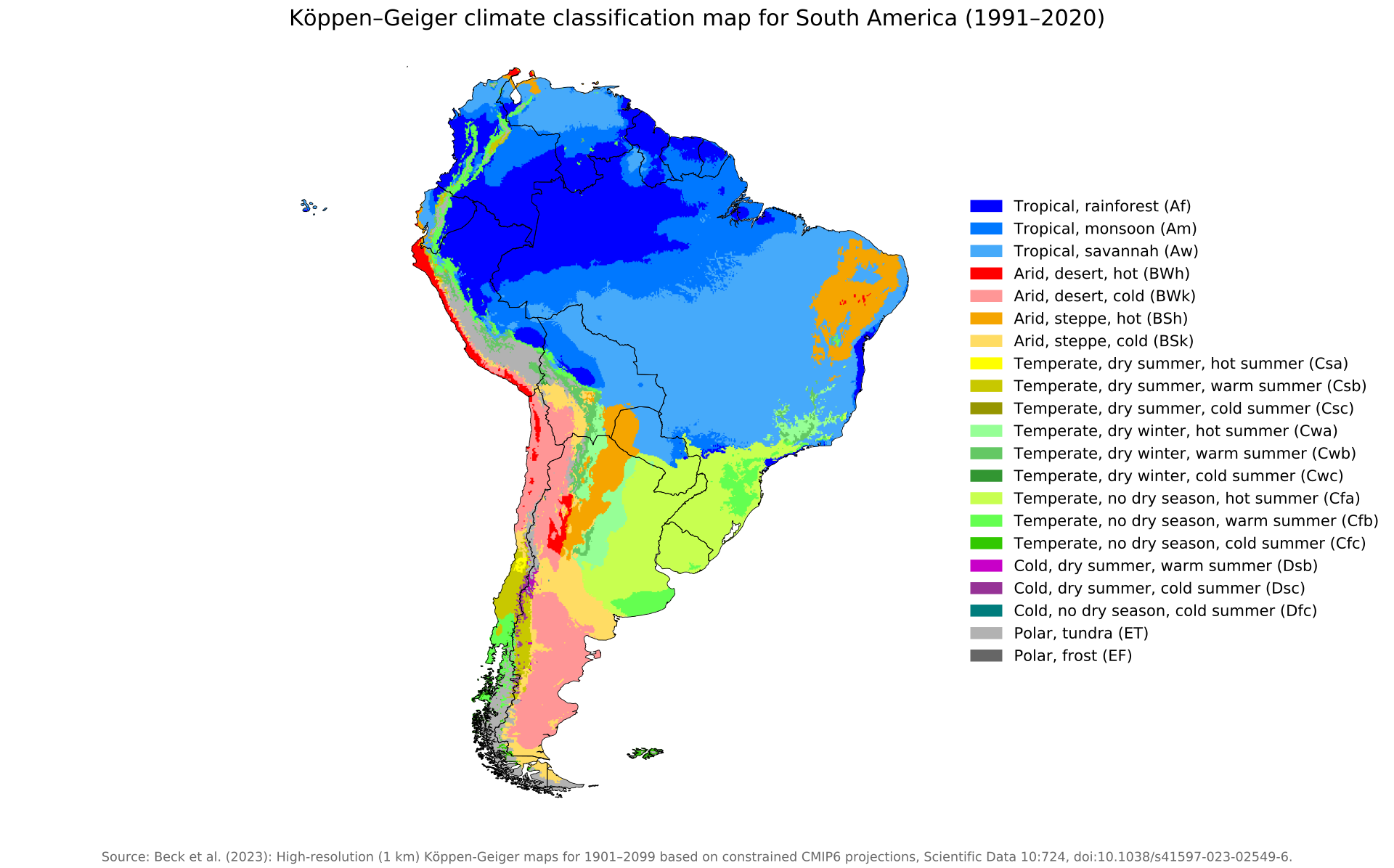
Köppen–Geiger climate zones (1991–2020) · South America

Köppen–Geiger climate zones (1991–2020) · South America

Climate classification by temperature and precipitation, with the original legend in English.

Beck, H. E., McVicar, T. R., Vergopolan, N., Alexis, B., Lutsko, N. J., Dufour, A., Zeng, Z., Jian, X., van Dijk, A. I. J. M. et Miralles, D. G. (2023) · CC BY 4.0.

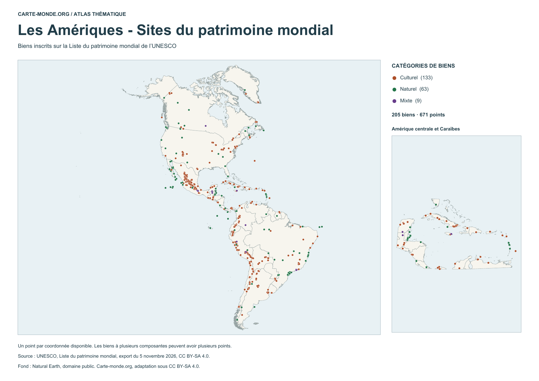
World Heritage and languages

The Americas - World Heritage sites

The Americas – World Heritage sites

205 listed properties represented by 671 points. Some properties have several components. The map distinguishes cultural, natural and mixed properties.

UNESCO · World Heritage List, export dated 5 November 2026 · CC BY-SA 4.0. Natural Earth base map, public domain.

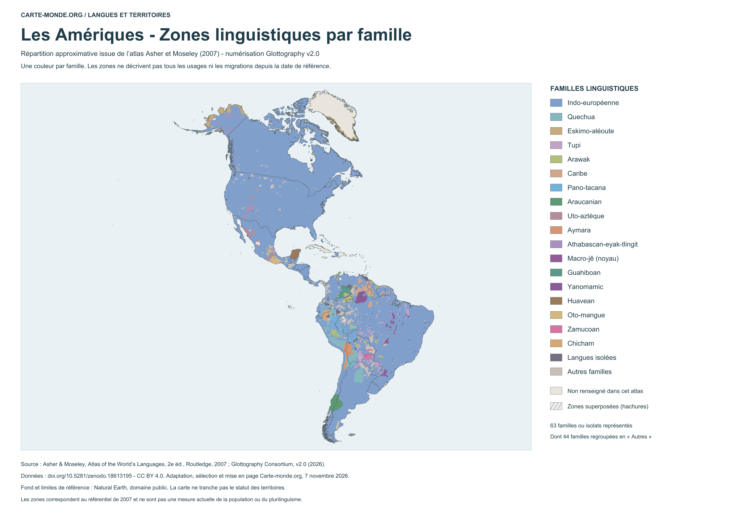
Language areas by family - 2007 atlas

Language areas by family – 2007 atlas

Coloured areas show the approximate distribution of language families. Hatching indicates overlaps in the source; the neutral background marks areas without information. This map does not represent conditions measured in 2026.

Glottography v2.0, based on Asher and Moseley, 2007 atlas · CC BY 4.0. Adaptation by Carte-monde.org.

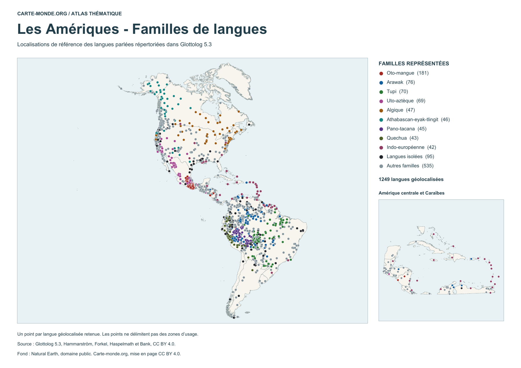
See also the language location map with points
The Americas — Language families

Language locations by family (points)

1249 geolocated spoken languages, classified by family or identified as isolates. Each point indicates a reference location. The number of points does not measure the number of speakers.

Glottolog 5.3 · Hammarström, Forkel, Haspelmath and Bank · CC BY 4.0. Natural Earth base map, public domain.

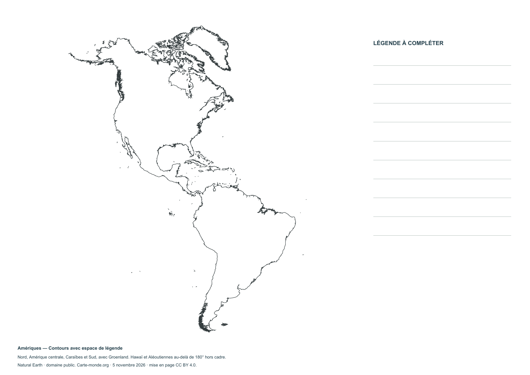
Blank maps of the Americas

North America, Central America, the Caribbean and South America, including Greenland. Hawaii and the part of the Aleutian Islands beyond the 180th meridian are outside the map.

Map labels and downloadable files remain in their original language, often French.

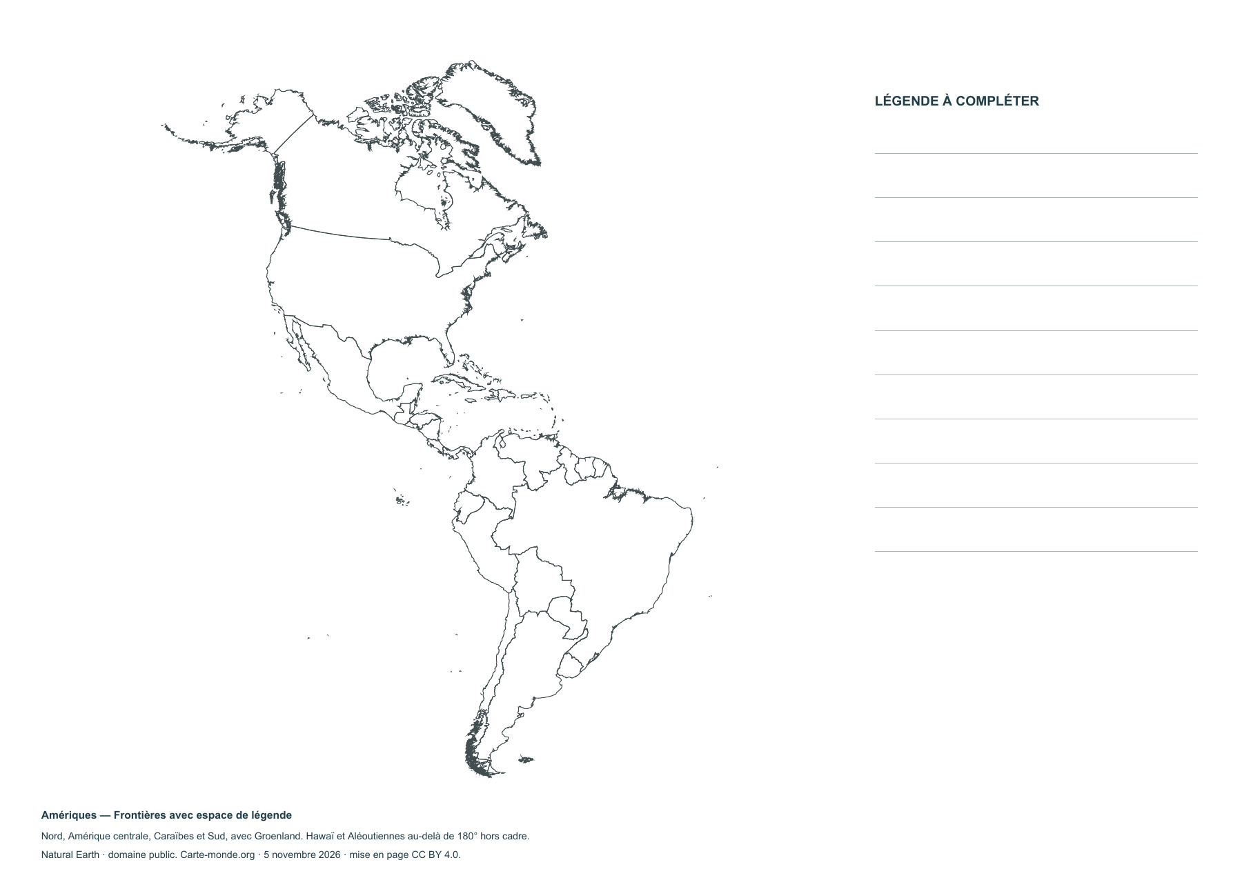
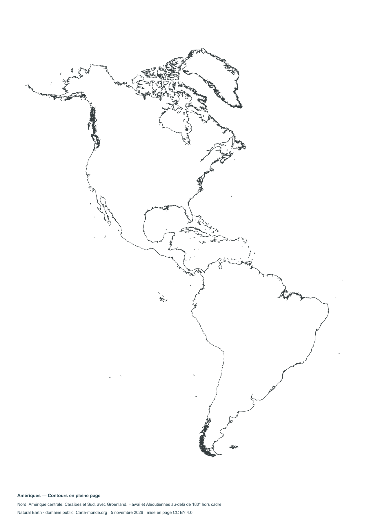
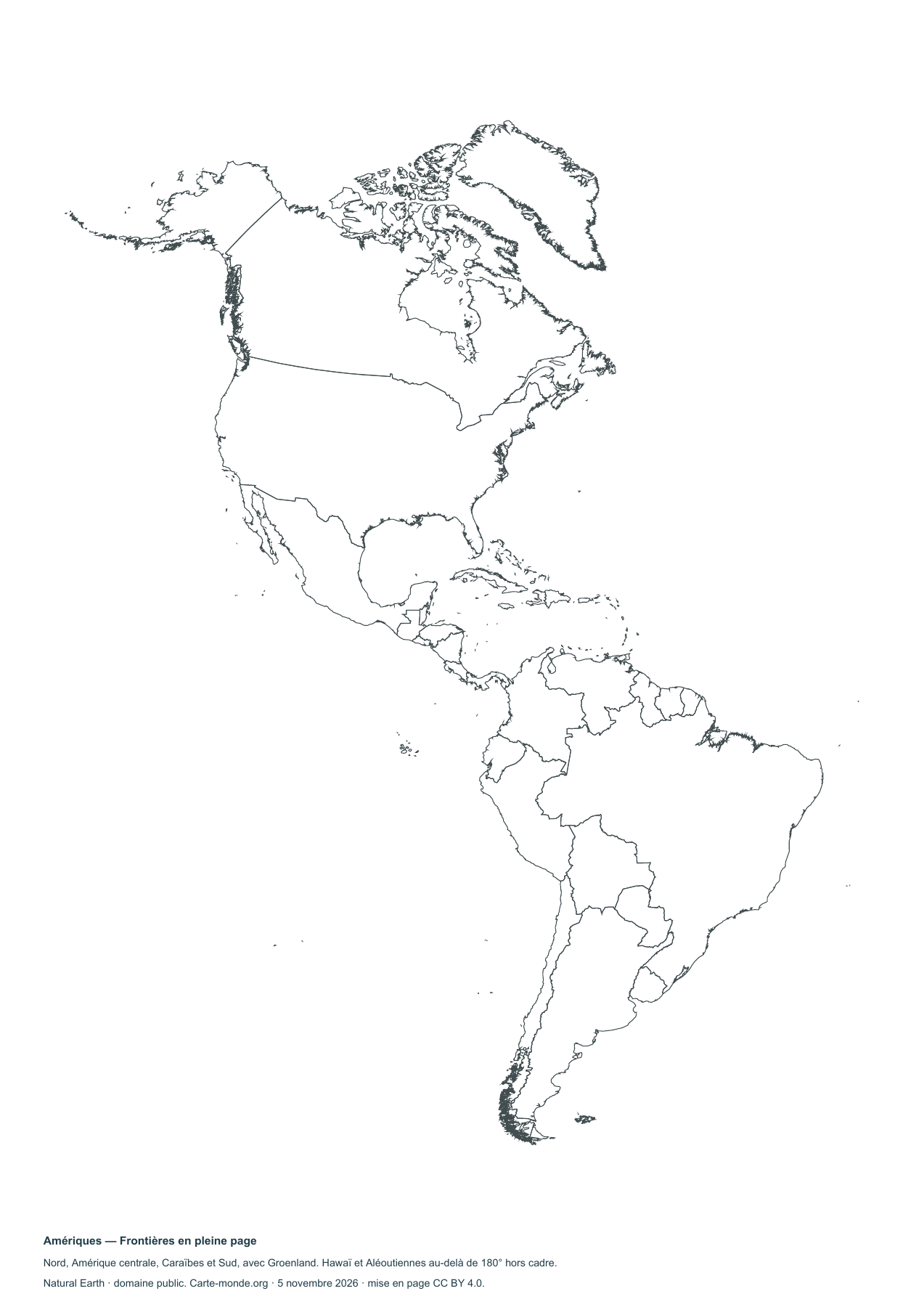
Four blank maps to complete

Americas — Outlines with space for a legend

Americas — Outlines with space for a legend

Blank map to print and complete.

Americas — Borders with space for a key

Americas — Borders with space for a key

Blank map to print and complete.

The Americas — Full-page outlines

The Americas — Full-page outlines

Blank map to print and complete.

Americas — Full-page borders

Americas — Full-page borders

Blank map to print and complete.

Complete collection

A4 PDF, PNG, SVG and source notes.

Download the ZIP pack

Sources and reuse

Boundaries, relief and hydrography: Natural Earth, public domain. Population: GHS-POP R2023A, © EU/JRC, 2020 estimates, CC BY 4.0. Layout by Carte-monde.org under CC BY 4.0. The generalised lines do not determine the status of disputed areas.

View articles in this section

Maps of North America

The extent includes North America, Central America and the Caribbean, as well as Greenland. Hawaii and the Aleutians west of the 180th meridian are outside the map.

Map labels and downloadable files remain in their original language, often French.

Three maps to explore the region

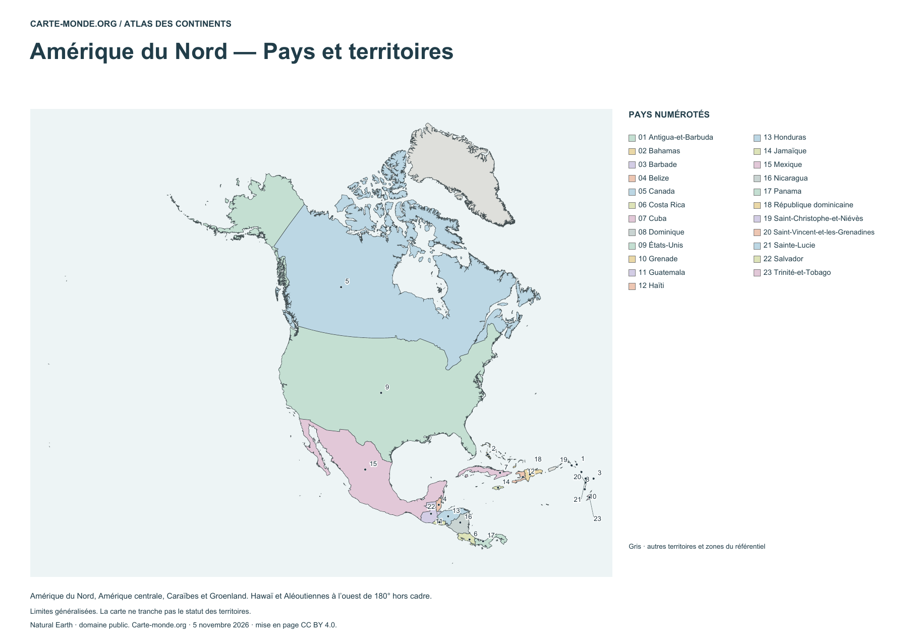
North America — Countries and territories

North America — Countries and territories

Map numbers refer to country names in the legend.

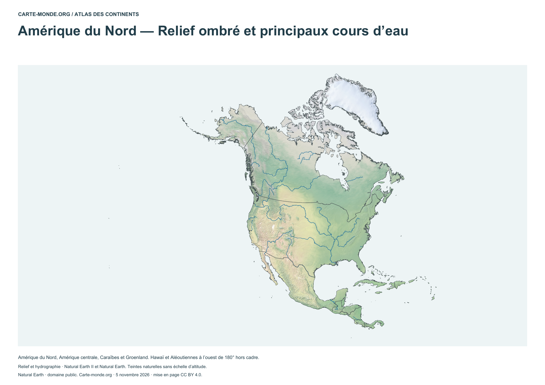
North America — Shaded relief and main rivers

North America — Shaded relief and main rivers

Shaded relief and main rivers. Colors show natural environments.

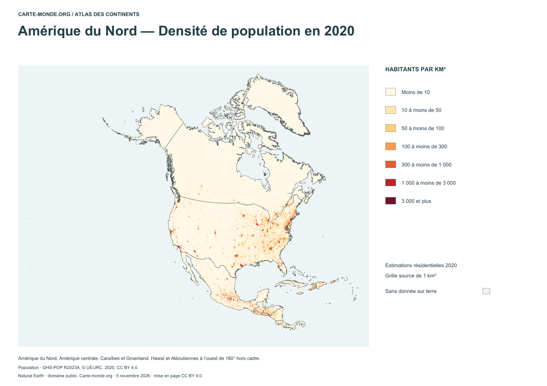
North America — Population density in 2020

North America — Population density in 2020

Estimated resident population in 2020, in inhabitants per square kilometre.

Carte-monde.org collection

A4 PDF, PNG, SVG and source documentation.

Download the ZIP pack

Sources and reuse

Boundaries, terrain and hydrography: Natural Earth, public domain. Population: GHS-POP R2023A, © EU/JRC, 2020 estimates, CC BY 4.0. Layout: Carte-monde.org under CC BY 4.0. Generalized boundaries follow the cartographic reference dataset.

Additional maps to reuse

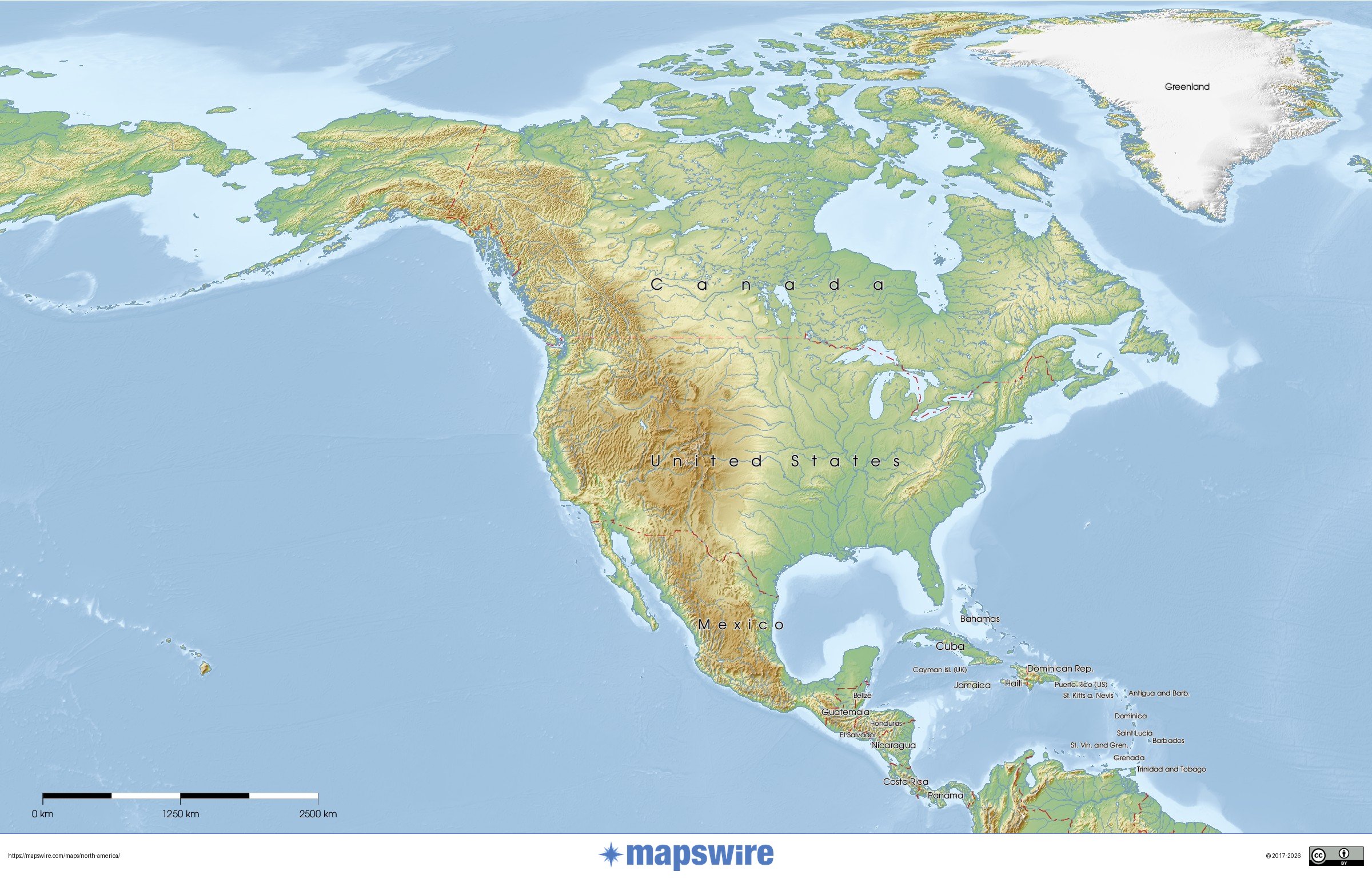
Detailed physical map

Detailed physical map

Terrain, major natural regions and geographical landmarks. Reference year not specified by the source.

Mapswire · CC BY 4.0.

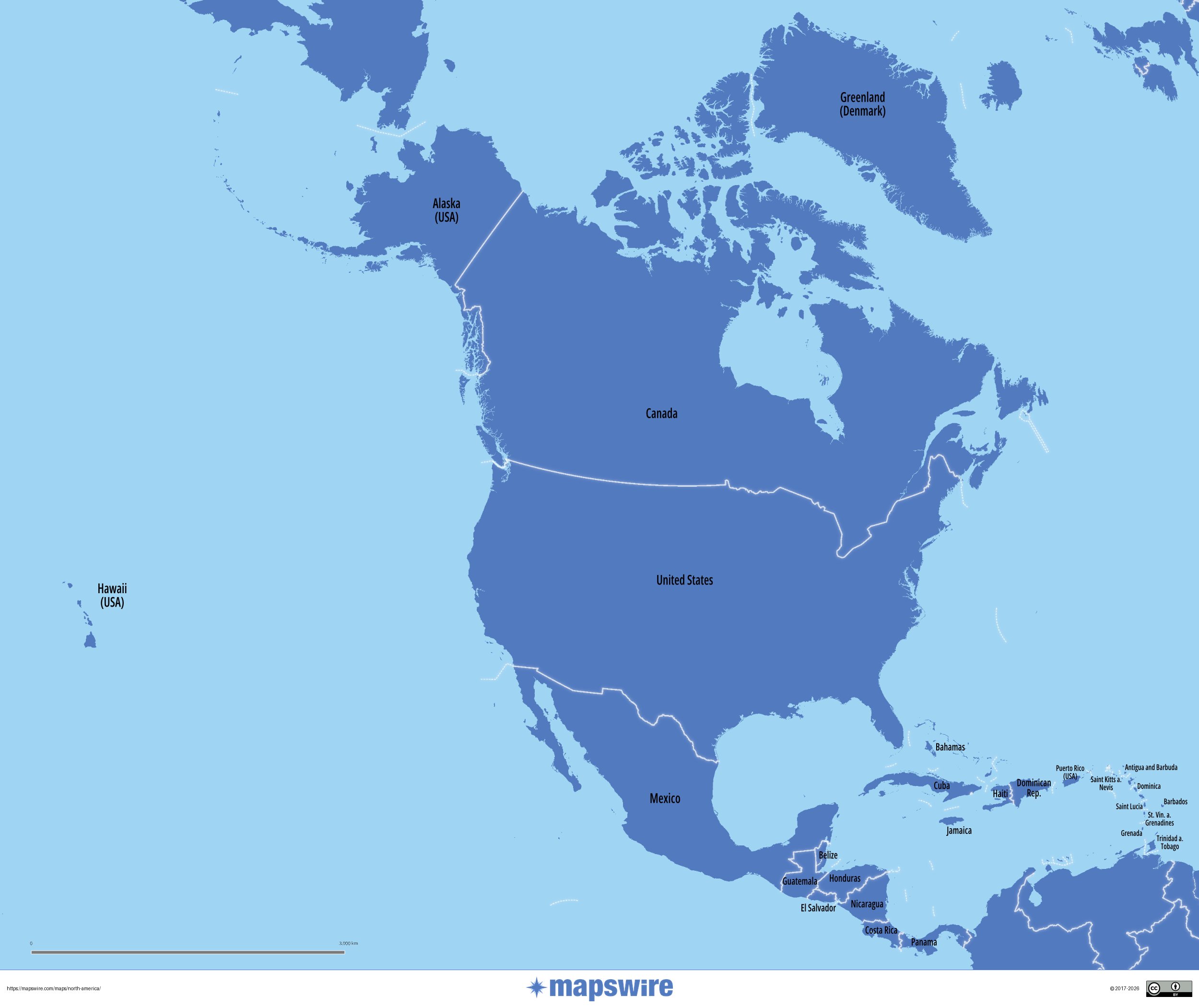
Political map with names

Political map with names

Countries and territories. Labels follow the source map. Reference year not specified by the source.

Mapswire · CC BY 4.0.

Köppen–Geiger climate zones (1991–2020)

Köppen–Geiger climate zones (1991–2020)

Climate classification by temperature and precipitation, with the original legend in English.

Beck, H. E., McVicar, T. R., Vergopolan, N., Alexis, B., Lutsko, N. J., Dufour, A., Zeng, Z., Jian, X., van Dijk, A. I. J. M. et Miralles, D. G. (2023) · CC BY 4.0.

World Heritage and languages

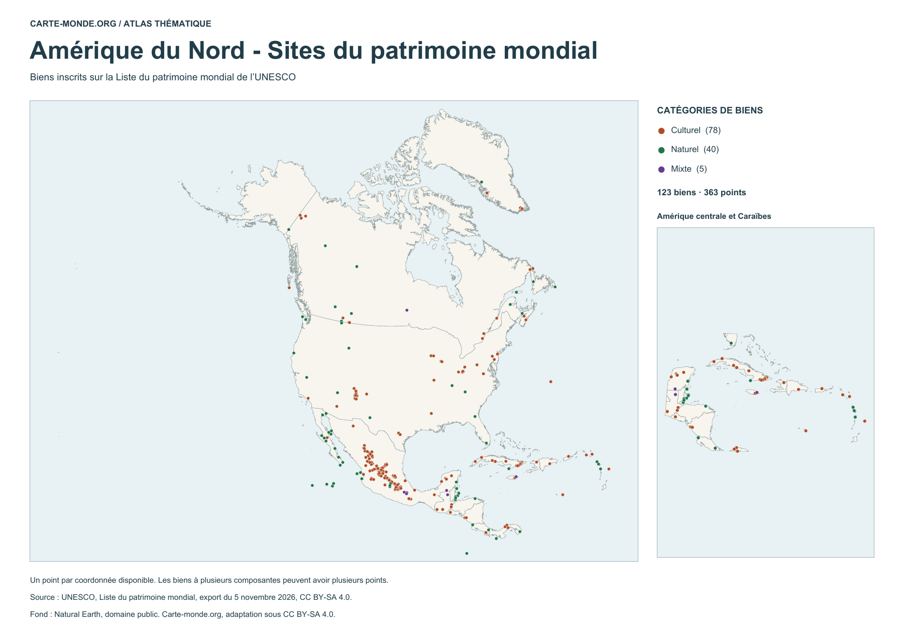
North America - World Heritage sites

North America – World Heritage sites

123 listed properties represented by 363 points. Some properties have several components. The map distinguishes cultural, natural and mixed properties.

UNESCO · World Heritage List, export dated 5 November 2026 · CC BY-SA 4.0. Natural Earth base map, public domain.

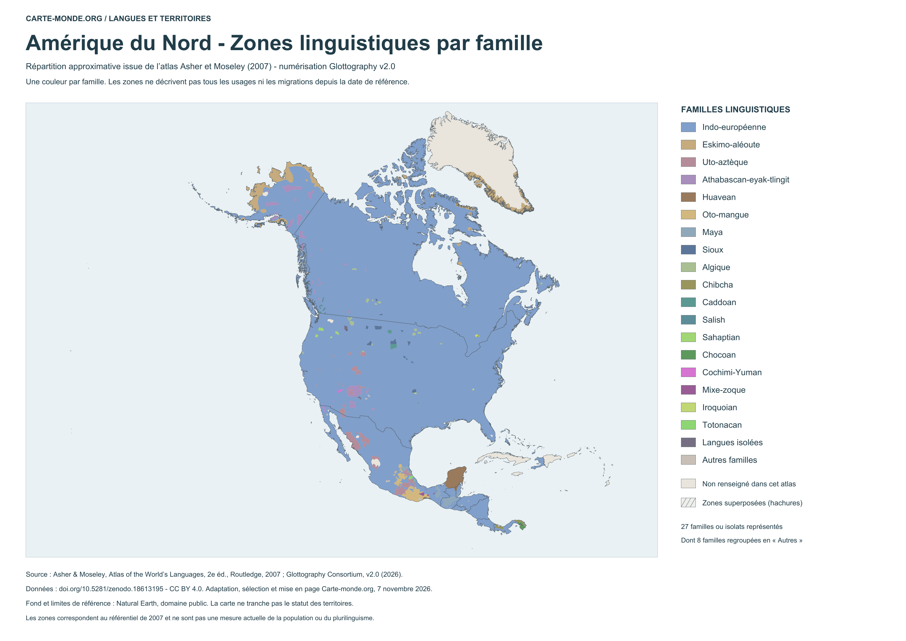
Language areas by family - 2007 atlas

Language areas by family – 2007 atlas

Coloured areas show the approximate distribution of language families. Hatching indicates overlaps in the source; the neutral background marks areas without information. This map does not represent conditions measured in 2026.

Glottography v2.0, based on Asher and Moseley, 2007 atlas · CC BY 4.0. Adaptation by Carte-monde.org.

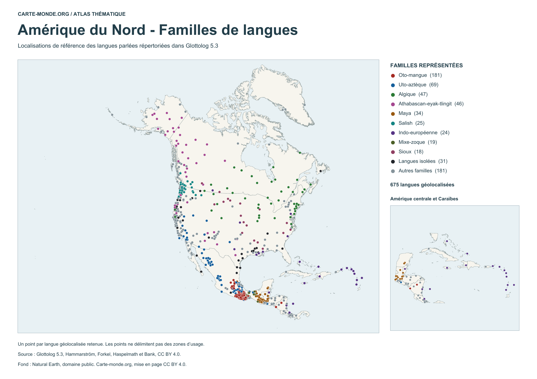
See also the language location map with points
North America — Language families

Language locations by family (points)

675 geolocated spoken languages, classified by family or identified as isolates. Each point indicates a reference location. The number of points does not measure the number of speakers.

Glottolog 5.3 · Hammarström, Forkel, Haspelmath and Bank · CC BY 4.0. Natural Earth base map, public domain.

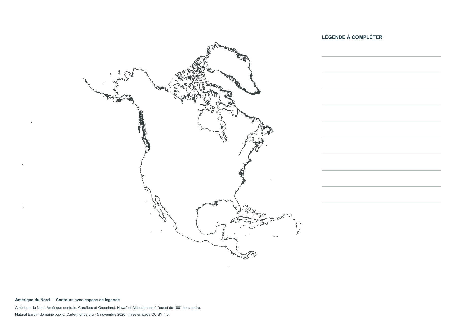
Blank maps of North America

The extent includes North America, Central America and the Caribbean, as well as Greenland. Hawaii and the Aleutians west of the 180th meridian are outside the map.

Map labels and downloadable files remain in their original language, often French.

Four blank maps to complete

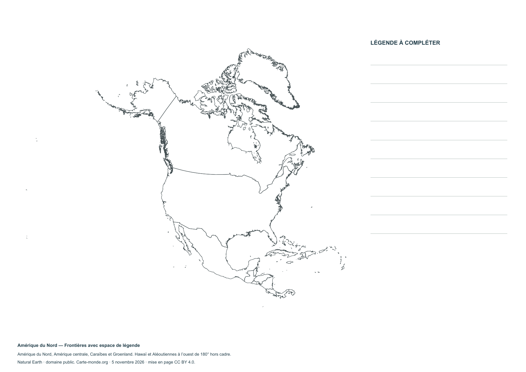
North America — Outlines with space for a key

North America — Outlines with space for a key

Blank map to print and complete.

North America — Boundaries with legend space

North America — Boundaries with legend space

Blank map to print and complete.

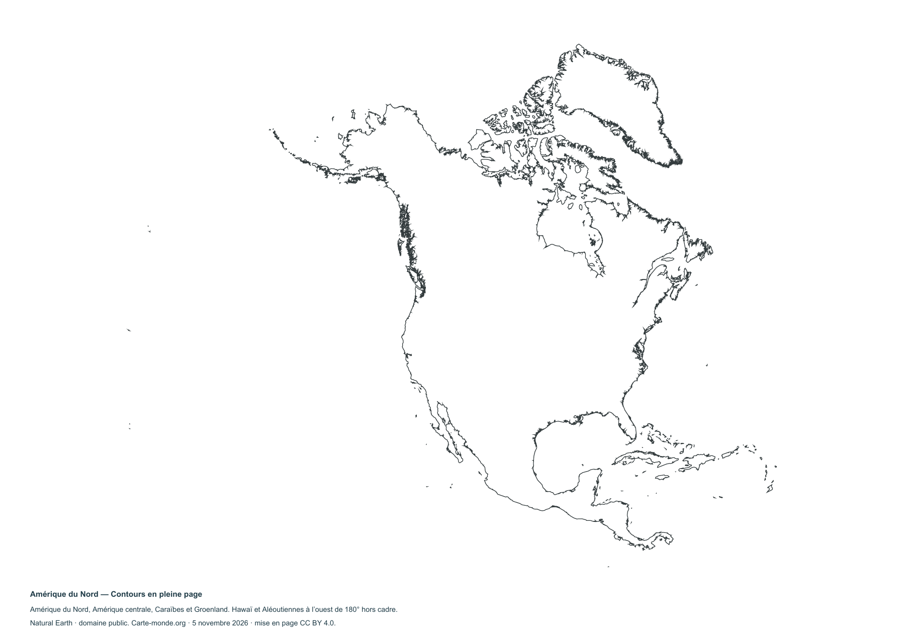
North America — Full-page outlines

North America — Full-page outlines

Blank map to print and complete.

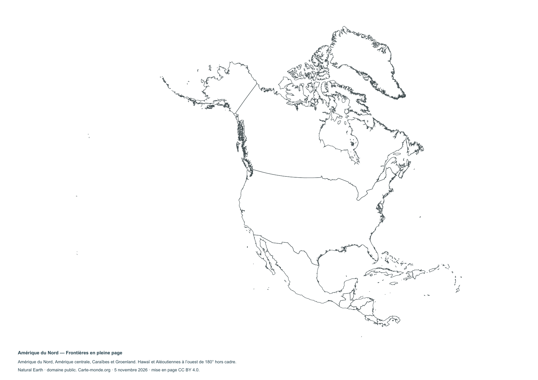
North America — Full-page borders

North America — Full-page borders

Blank map to print and complete.

Carte-monde.org collection

A4 PDF, PNG, SVG and source documentation.

Download the ZIP pack

Sources and reuse

Boundaries, terrain and hydrography: Natural Earth, public domain. Population: GHS-POP R2023A, © EU/JRC, 2020 estimates, CC BY 4.0. Layout: Carte-monde.org under CC BY 4.0. Generalized boundaries follow the cartographic reference dataset.