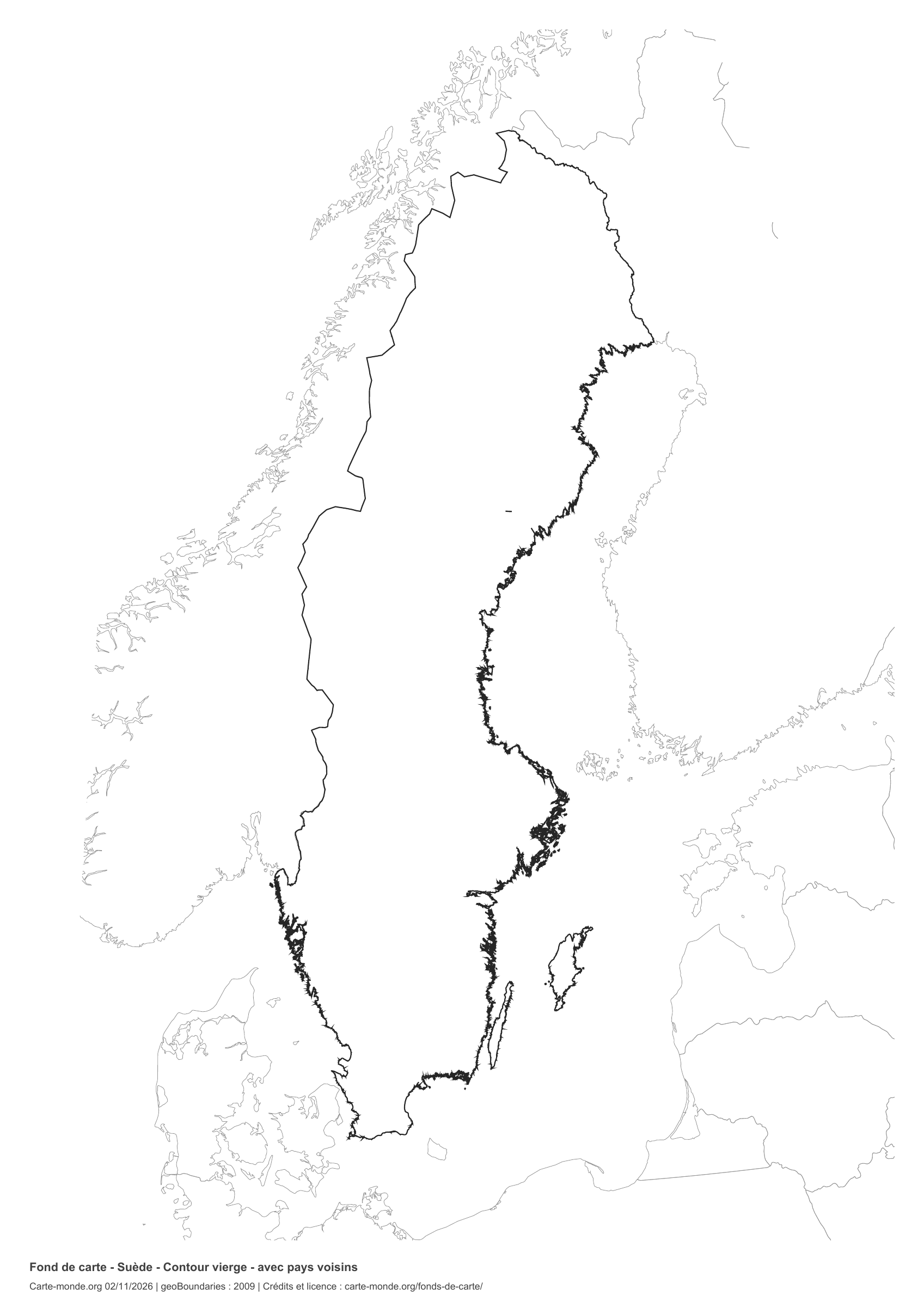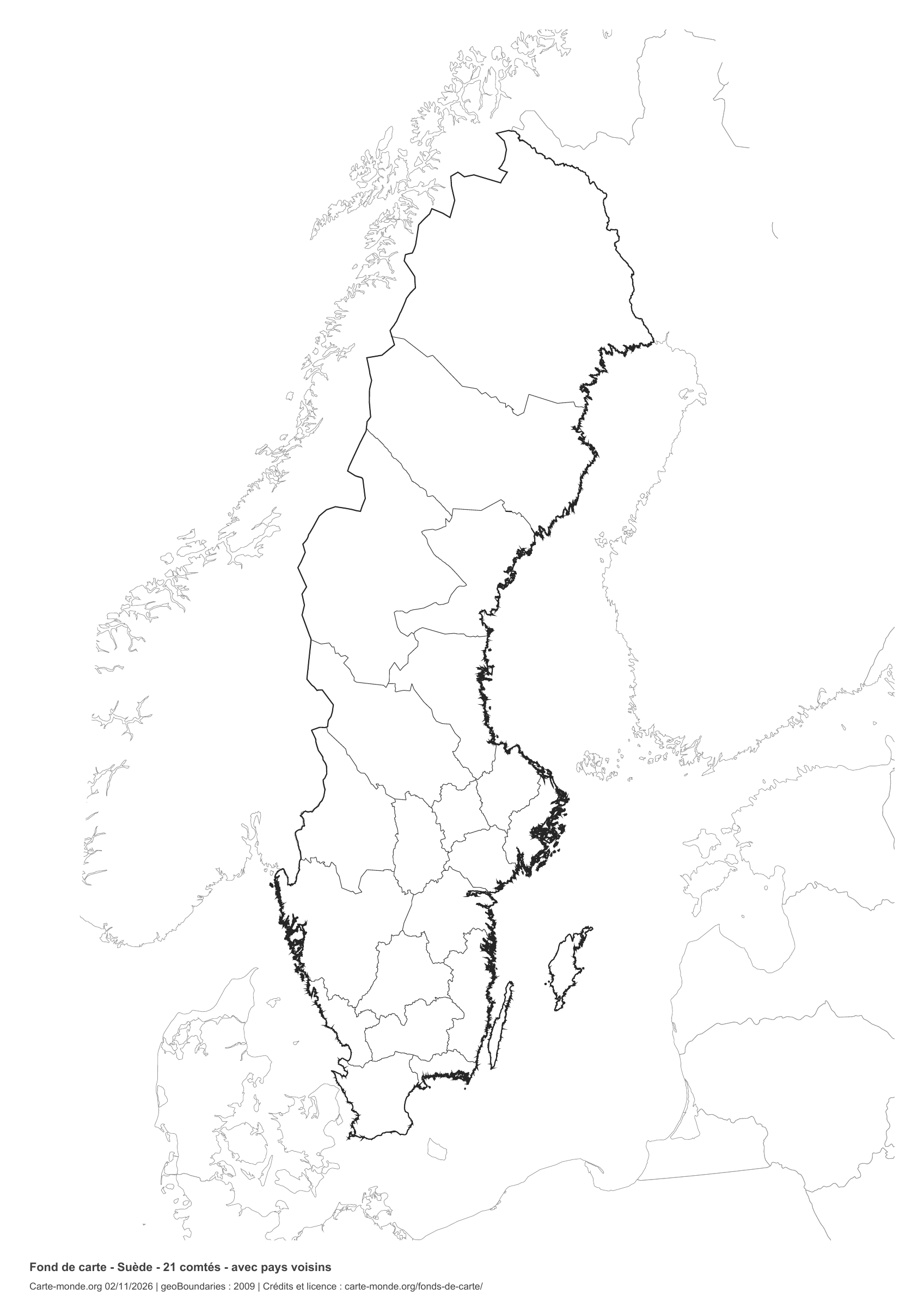
Printable base maps of Portugal

PORTUGAL · MAPS TO COMPLETE

Download a blank map of Portugal to add names, prepare a sketch map or colour territories. Six black-and-white versions are available: outlines and boundaries, with space for a key, full-page or with neighbouring countries. Each map is available as an A4 PDF and PNG.

Our six blank maps have English labels.

Six base maps of Portugal to complete

Coverage: Mainland Portugal; Azores and Madeira in insets at different scales. Divisions: 18 districts and 2 autonomous regions.

Geographic reference year: 2016. The files’ edition date does not mean that all boundaries have been updated.
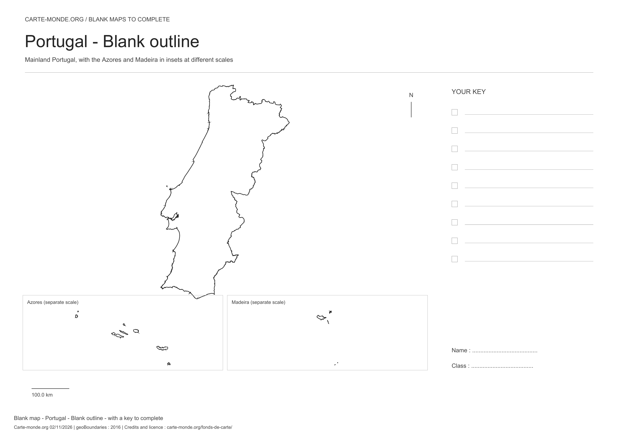
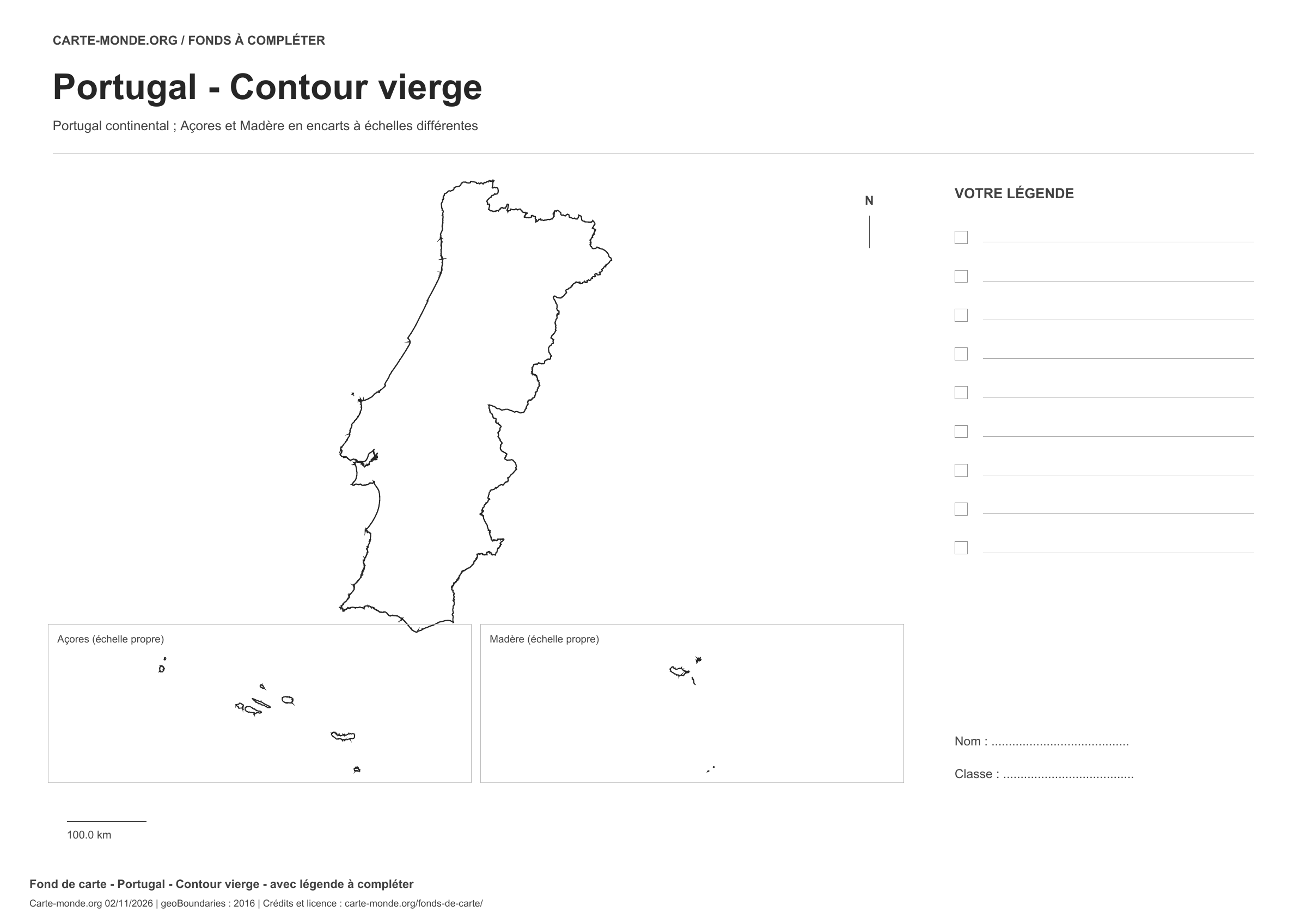
Portugal: outline with space for a legend, base map without names

Model 1 · November 2026 edition

Outline with space for a legend

National outline without names or internal boundaries, to complete freely. Space for your key, name and class.

A4 landscape vector PDF · PNG 2 400 px
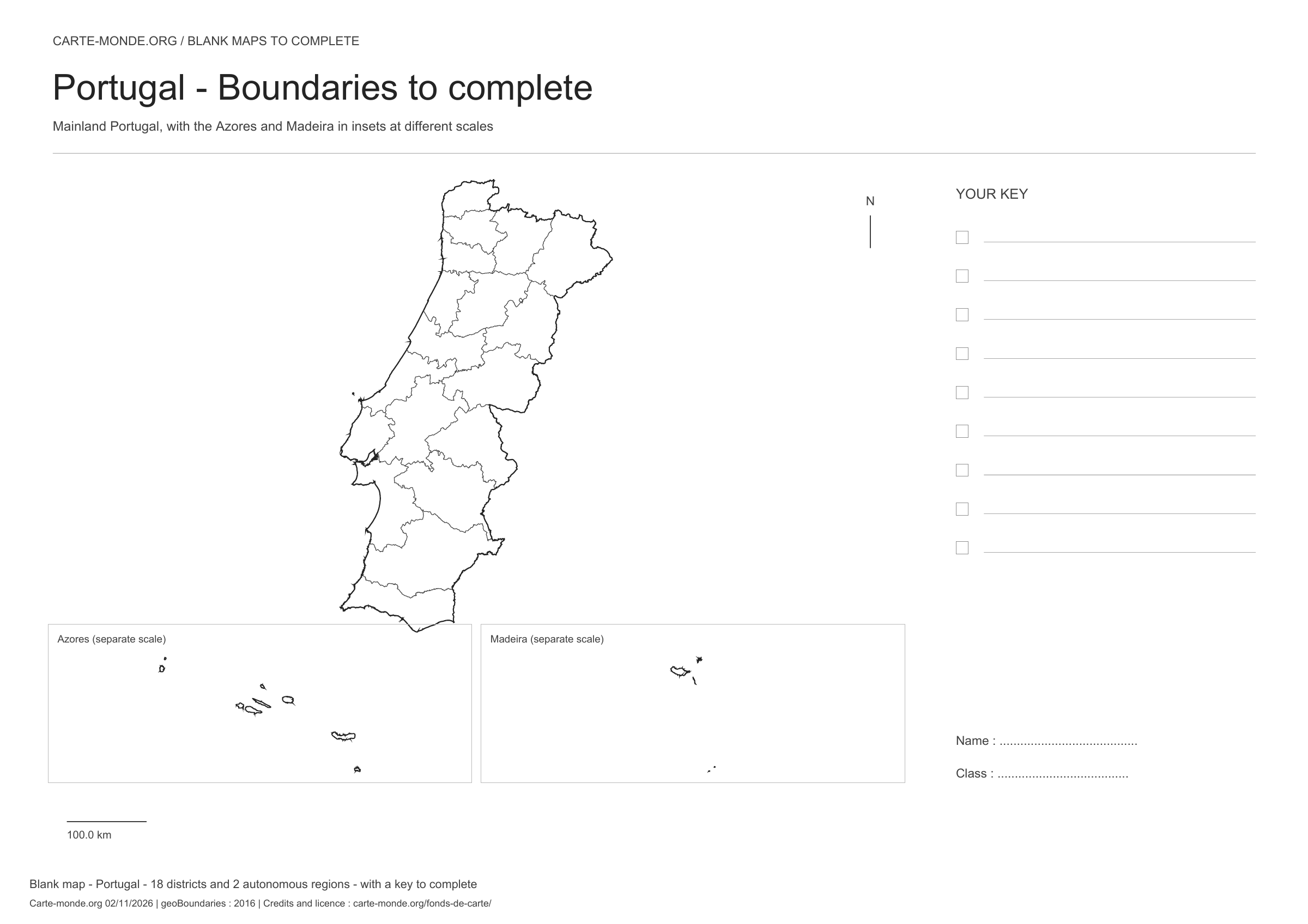
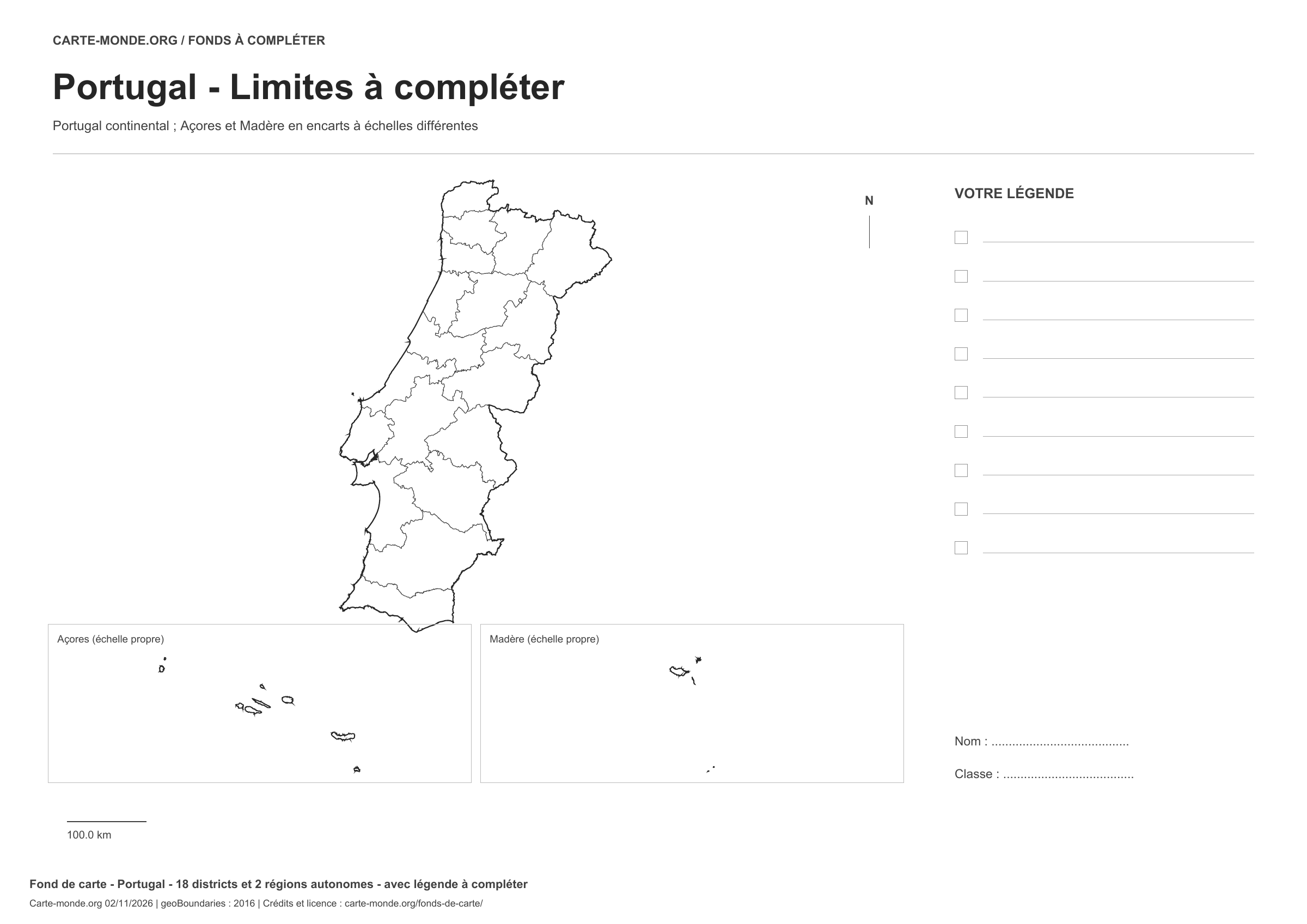
Portugal: boundaries with space for a legend, base map without names

Model 2 · November 2026 edition

Boundaries with space for a legend

Divisions shown: 18 districts and 2 autonomous regions. Add names and colours. Space for your legend, name and class.

A4 landscape vector PDF · PNG 2 400 px
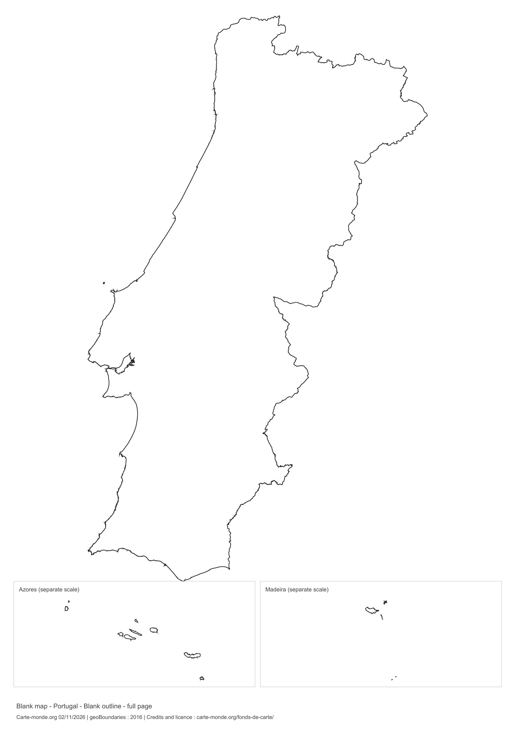
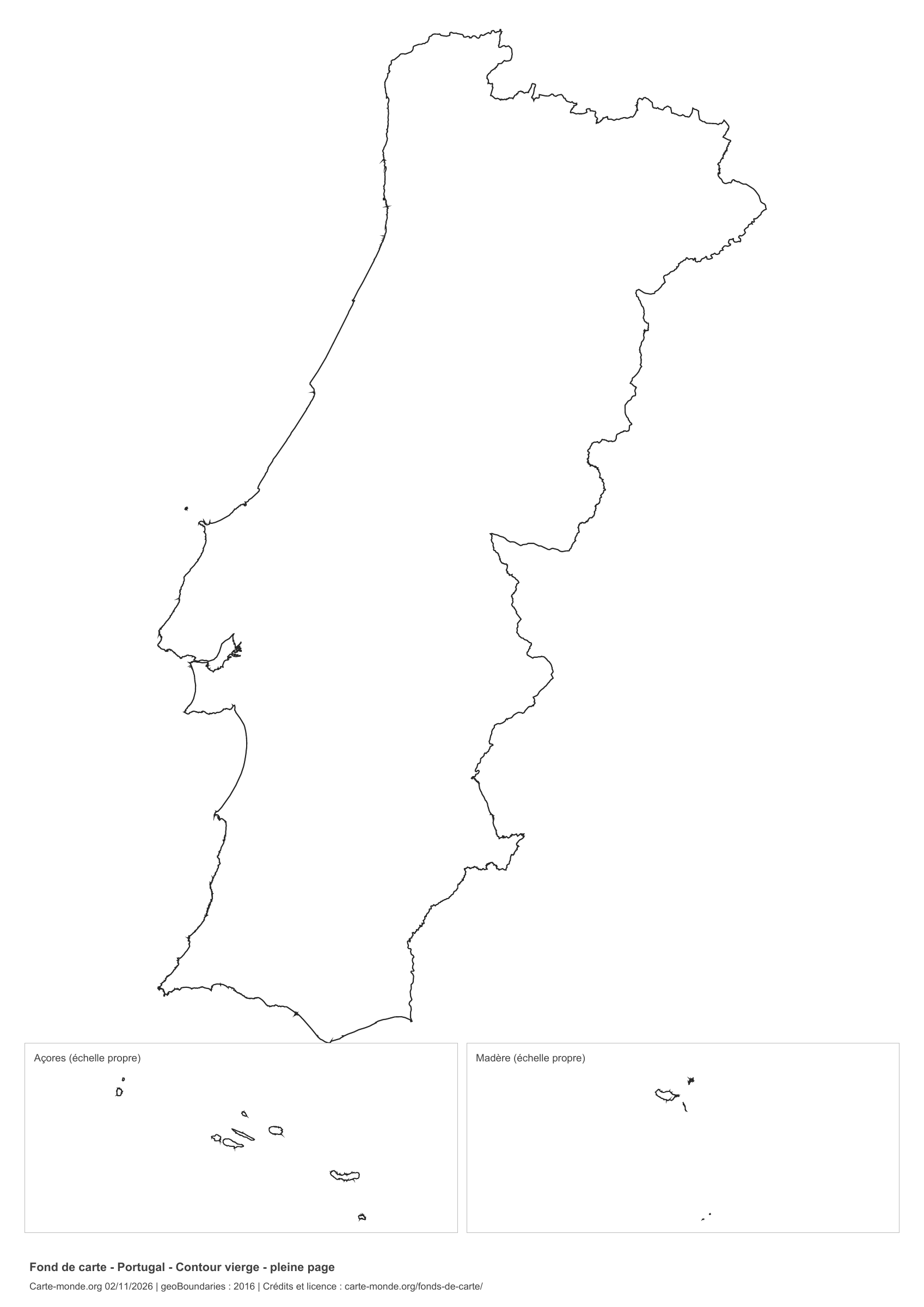
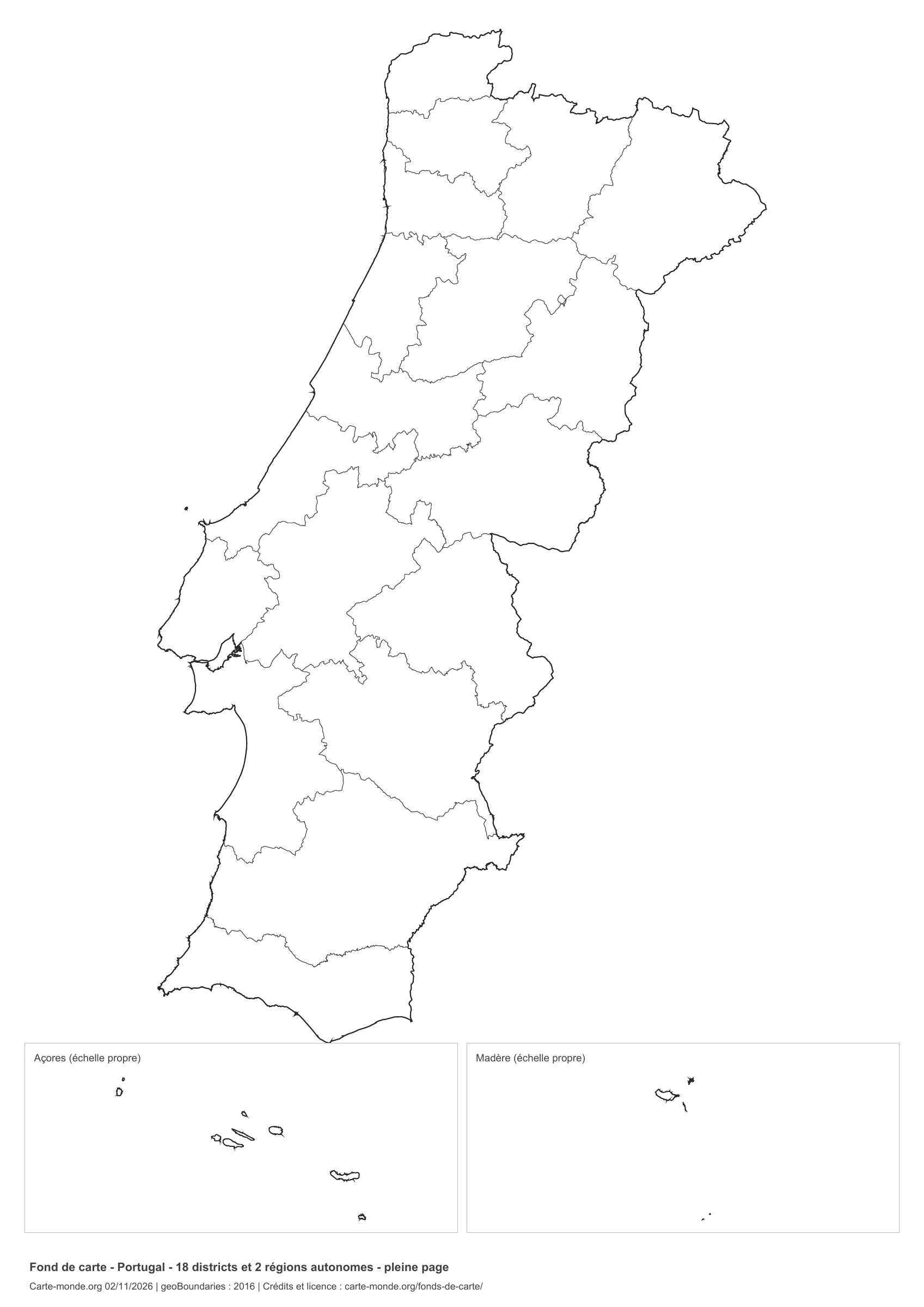
Portugal: full-page outline, base map without names

Model 3 · November 2026 edition

Full-page outline

National outline without names or internal boundaries, to complete freely. The map fills almost the entire sheet; only two reference lines appear at the bottom.

A4 portrait vector PDF · PNG 2 400 px
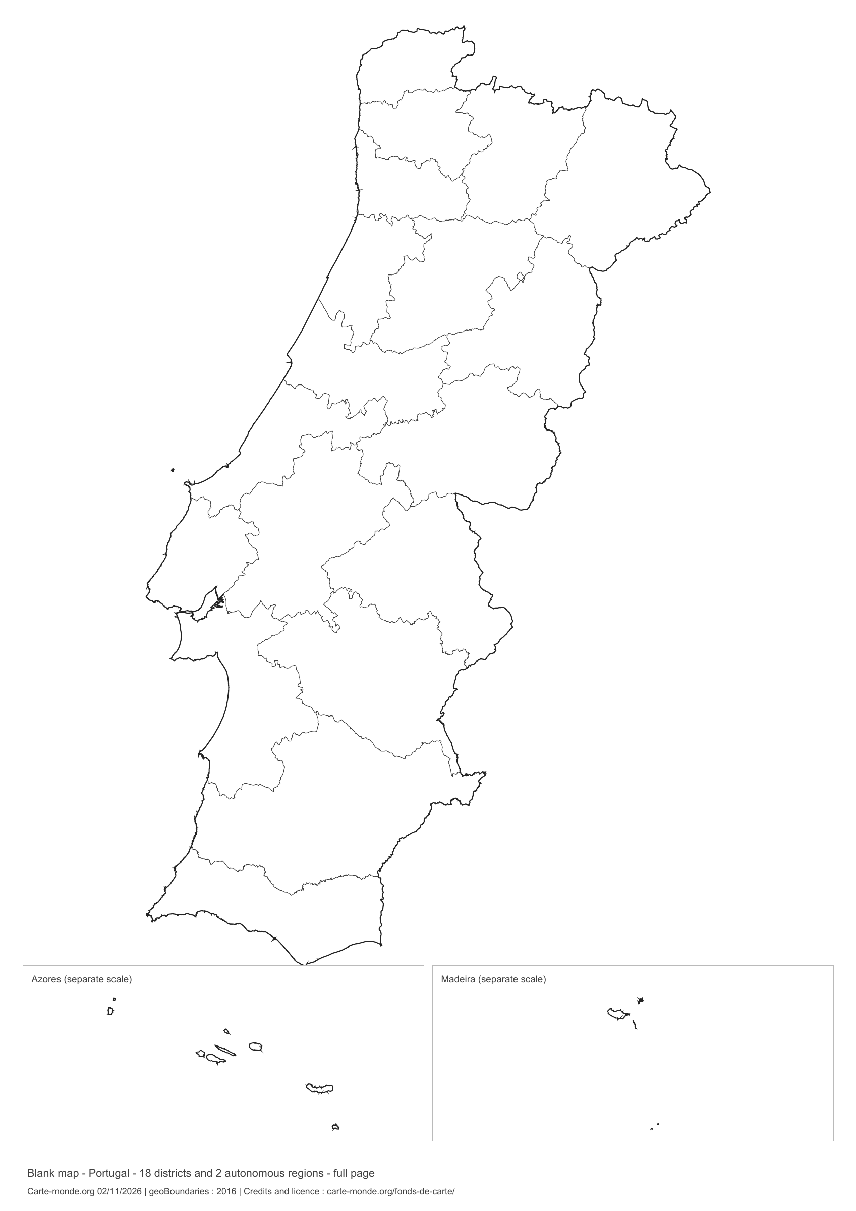
Portugal: full-page boundaries, base map without names

Model 4 · November 2026 edition

Full-page boundaries

Divisions shown: 18 districts and 2 autonomous regions. Add names and colours. The map fills almost the entire sheet; only two reference lines appear at the bottom.

A4 portrait vector PDF · PNG 2 400 px
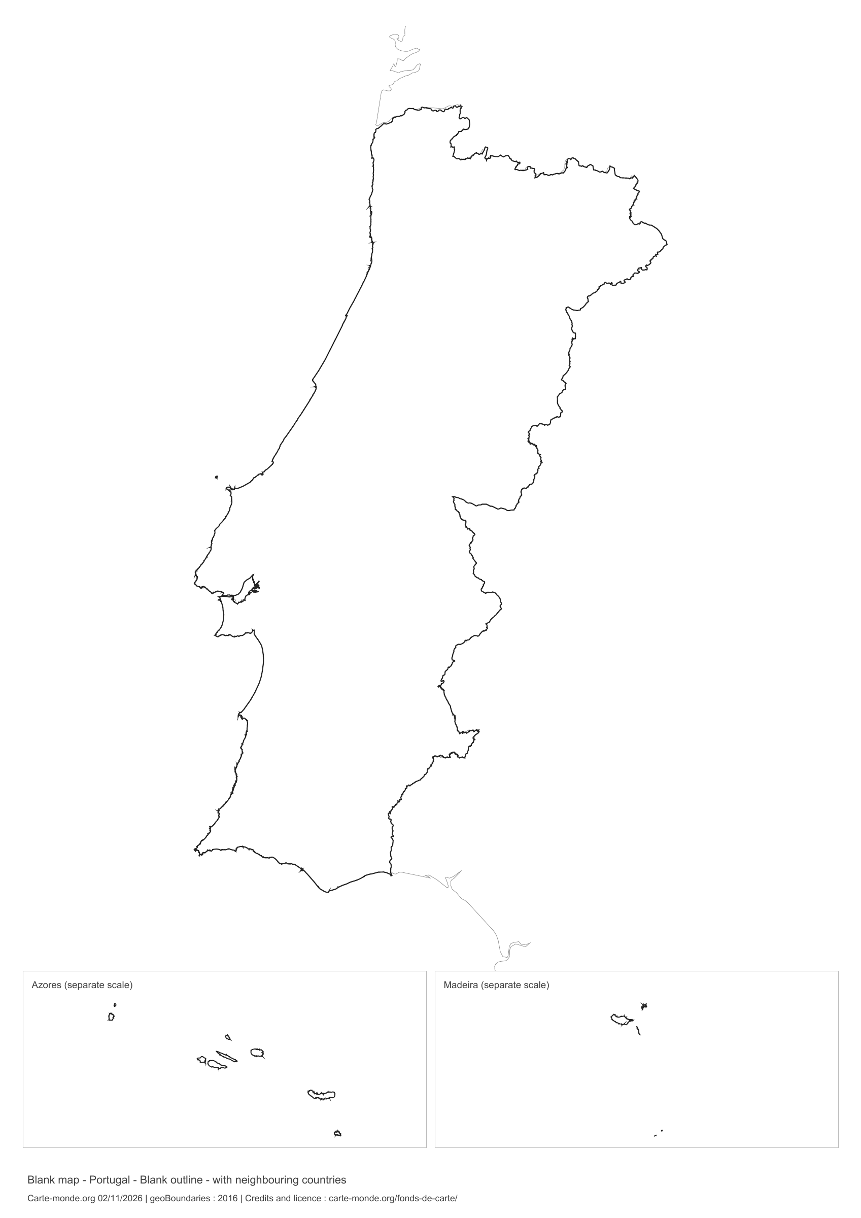
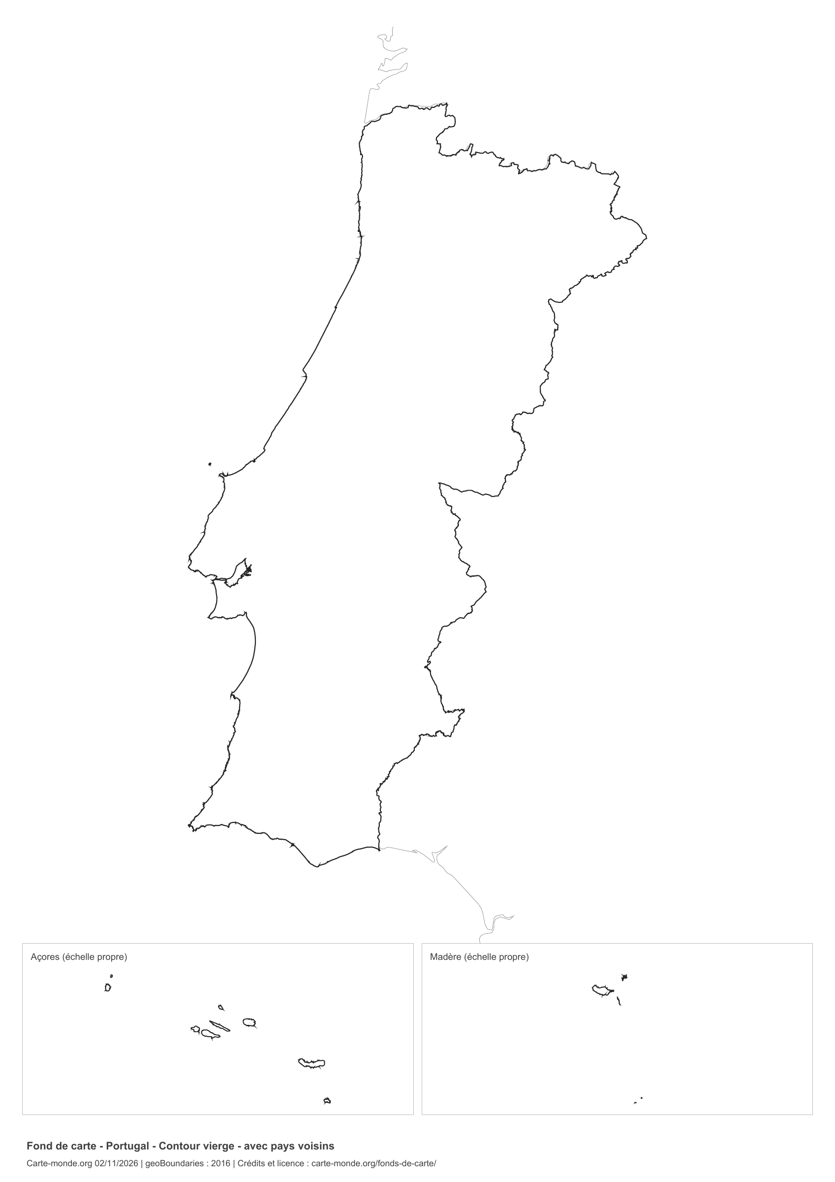
Portugal: outline with neighbouring countries, base map without names

Model 5 · November 2026 edition

Outline with neighbouring countries

National outline without names or internal boundaries, to complete freely. Surrounding countries are shown with light outlines, without names or colour fills.

A4 portrait vector PDF · PNG 2 400 px
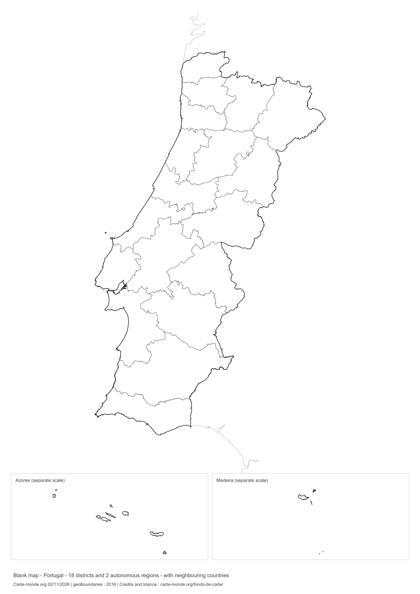
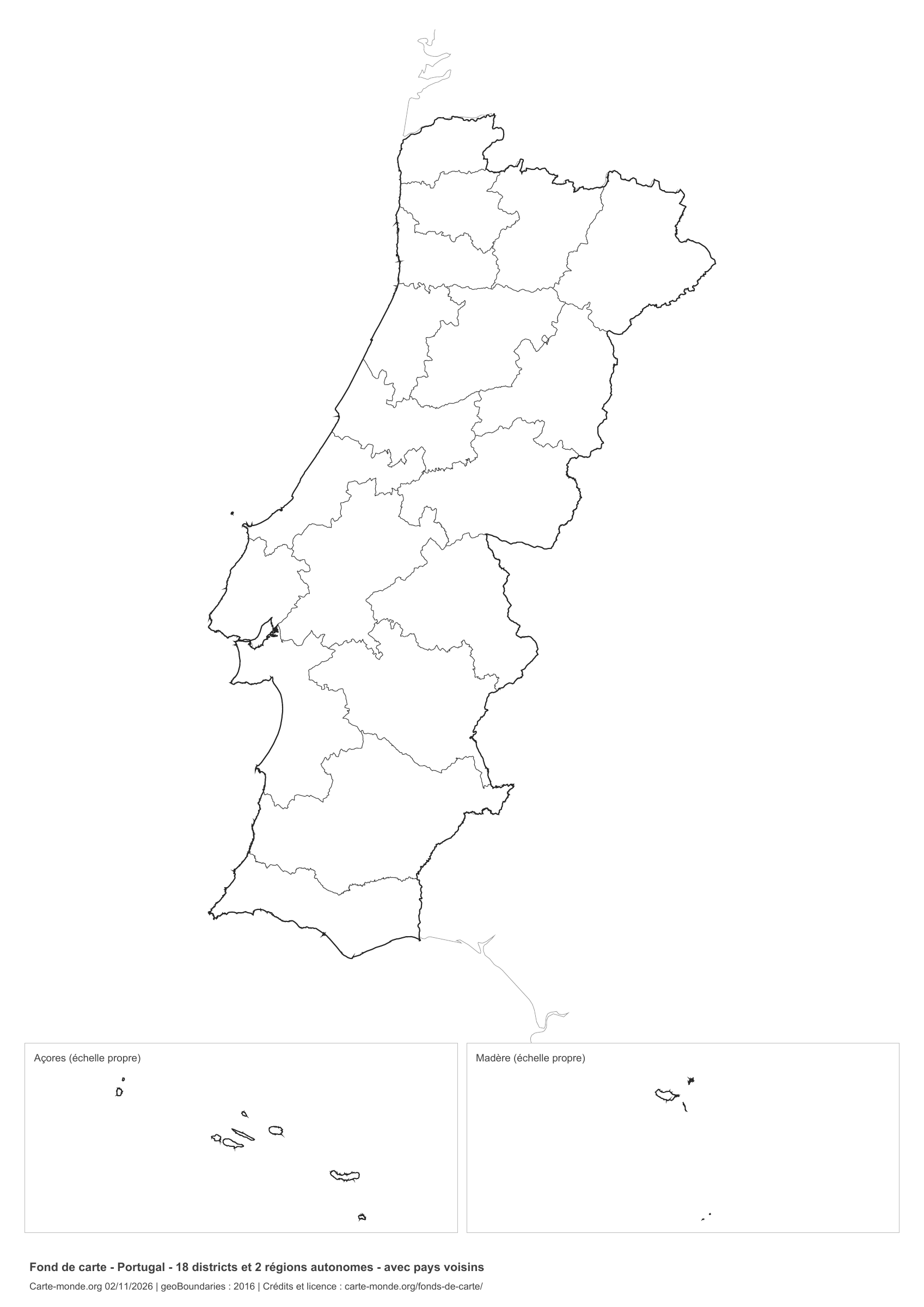
Portugal: boundaries with neighbouring countries, base map without names
Model 6 · November 2026 edition

Boundaries with neighbouring countries

Divisions shown: 18 districts and 2 autonomous regions. Add names and colours. Surrounding countries are shown with light outlines, without names or colour fills.

A4 portrait vector PDF · PNG 2 400 px

The six-base-map pack
The six templates in PDF, PNG and editable SVG, with credits and reuse terms.

Download the six base maps — ZIP

Which base map should I choose?

The outline is suitable for freehand sketches: add a capital, cities or rivers. The version with boundaries lets you color or name the units shown in the divisions. Full-page versions enlarge the country and save ink. The last two maps add neighboring countries for location exercises.

Geographical names are deliberately omitted. Any inset titles indicate only their coverage and individual scales.

Maps of Portugal: labelled maps and original collection.

Download and print

  1. Open the PDF for a sharp printout; choose the PNG for a document or presentation.
  2. Print on an A4 sheet using the file’s orientation. Use “Fit to page” if your printer requires it.
  3. Any insets use different scales from the main map. Retain the source notes at the bottom of the sheet.

To edit the outlines, open the pack’s SVG in a vector editor. These generalised maps are intended for exercises and presentations.

Sources and reuse

Geometries: geoBoundaries gbOpen, 2016. Primary source: DG Territory. Licence stated in the metadata: Open Data Commons Open Database License 1.0. View the source metadata.

Neighbouring country outlines: Natural Earth 5.1.1, public domain. Layout by Carte-monde.org, 2 November 2026 edition, under CC BY 4.0. The data retain their attributions and licences; consult the ZIP notes before reuse.

Example credit: Carte-monde.org, edition dated 2 November 2026 — geoBoundaries / DG Territory.

Continue exploring

Maps of Portugal · Maps of European countries · Other maps and archives

Original French files

Printable base maps of Czechia

CZECHIA · MAPS TO COMPLETE

Download a blank map of Czechia to add names, prepare a sketch map or colour territories. Six black-and-white versions are available: outlines and boundaries, with space for a key, full-page or with neighbouring countries. Each map is available as an A4 PDF and PNG.

Our six blank maps have English labels.

Six base maps of Czechia to complete

Coverage: Czechia. Divisions: 13 regions and Prague.

Geographic reference year: 2021. The files’ edition date does not mean that all boundaries have been updated.

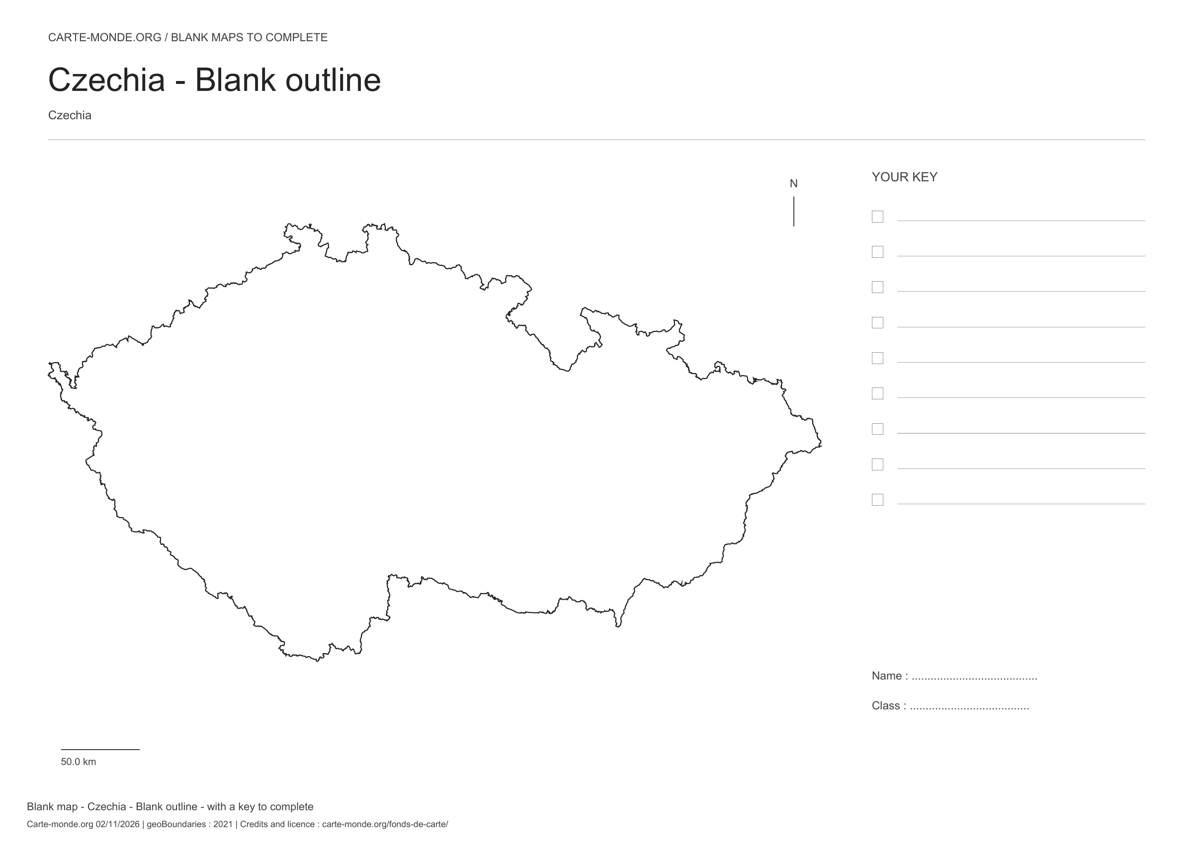
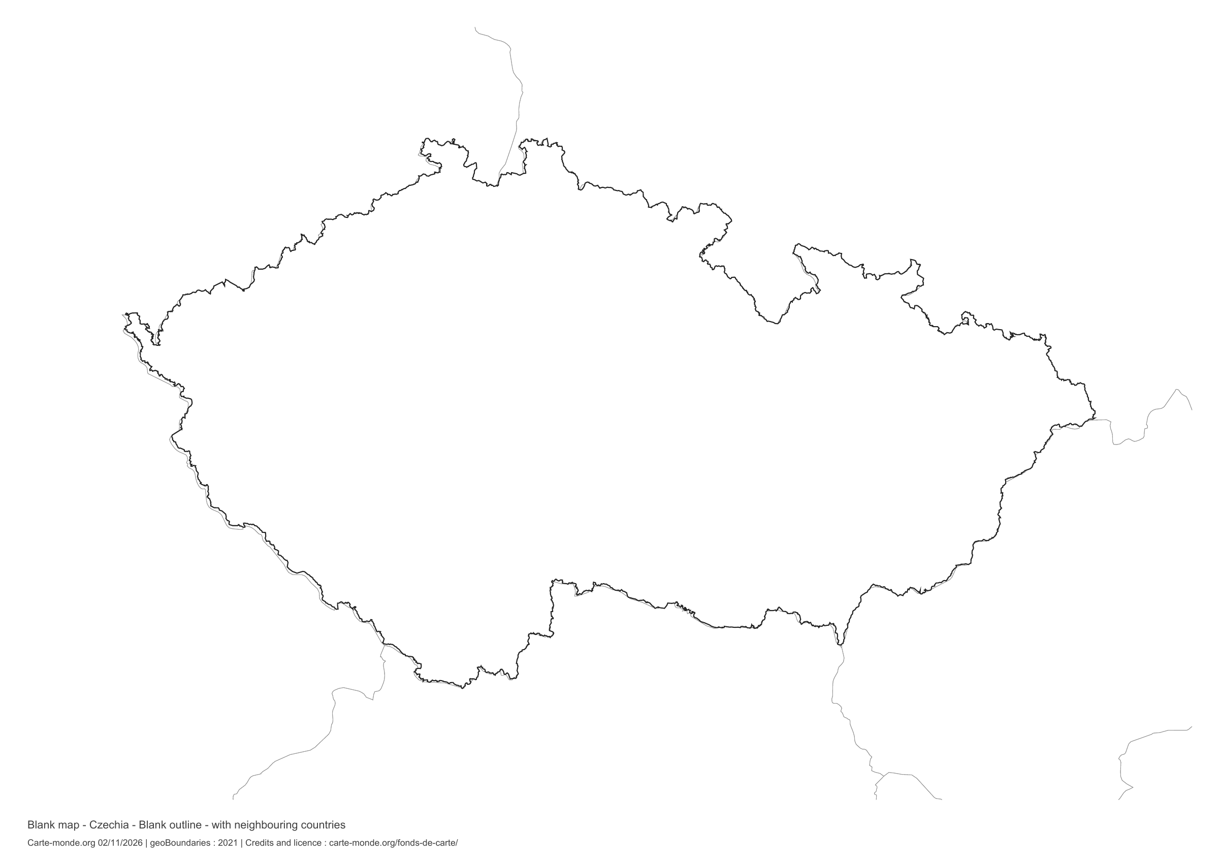
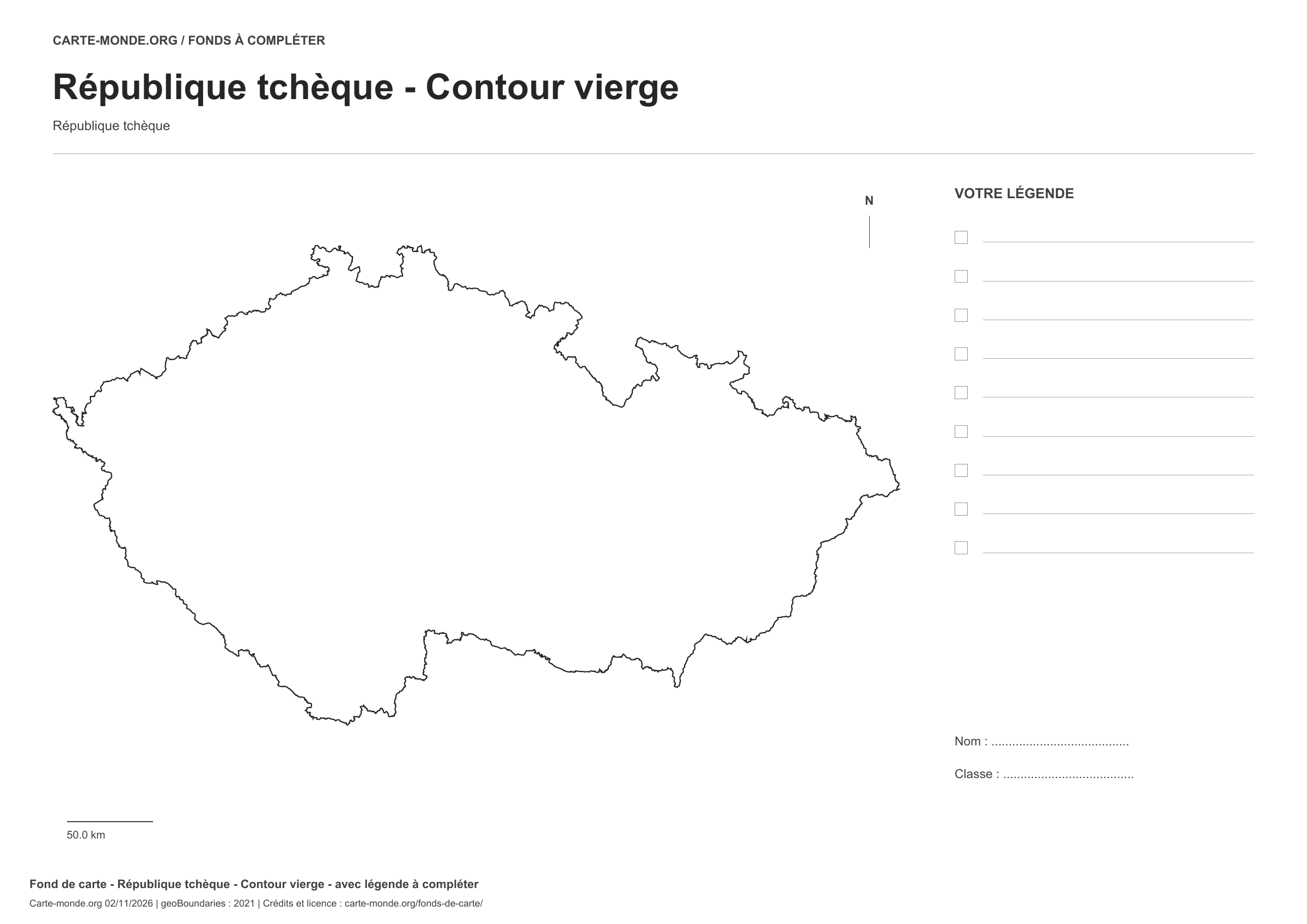
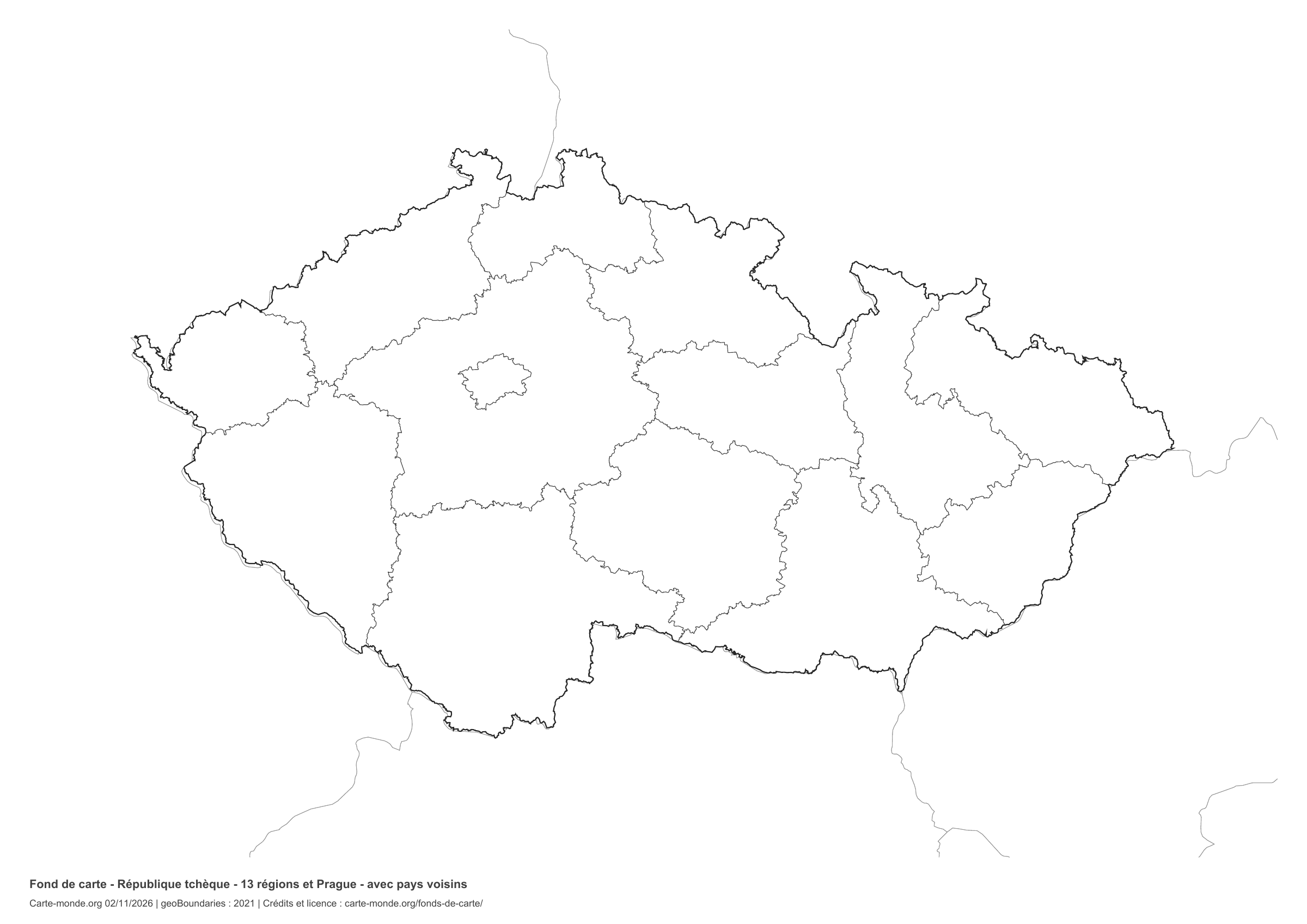
Czechia: outline with space for a legend, base map without names

Model 1 · November 2026 edition

Outline with space for a legend

National outline without names or internal boundaries, to complete freely. Space for your key, name and class.

A4 landscape vector PDF · PNG 2 400 px

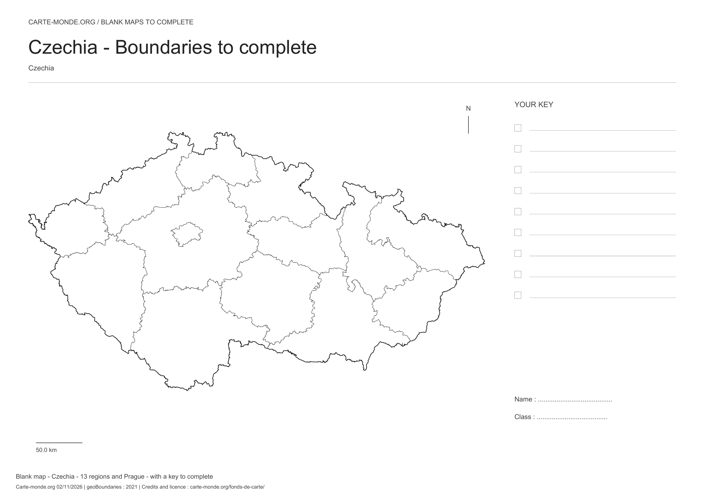
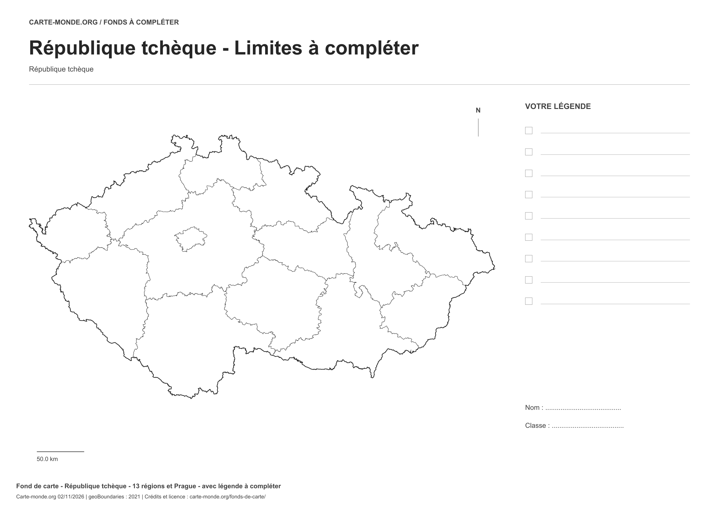
Czechia: boundaries with space for a legend, base map without names

Model 2 · November 2026 edition

Boundaries with space for a legend

Divisions shown: 13 regions and Prague. Add names and colours. Space for your legend, name and class.

A4 landscape vector PDF · PNG 2 400 px

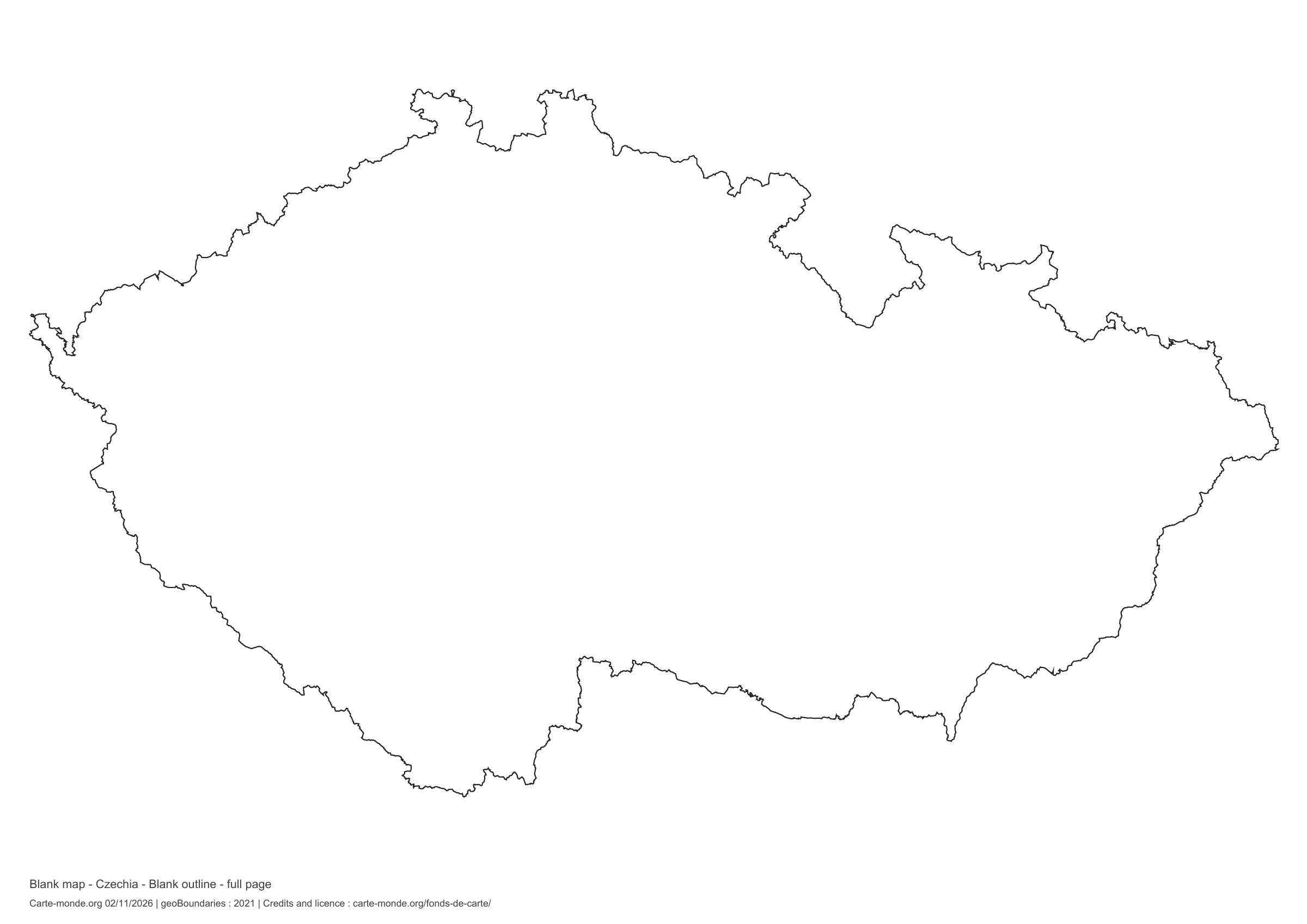
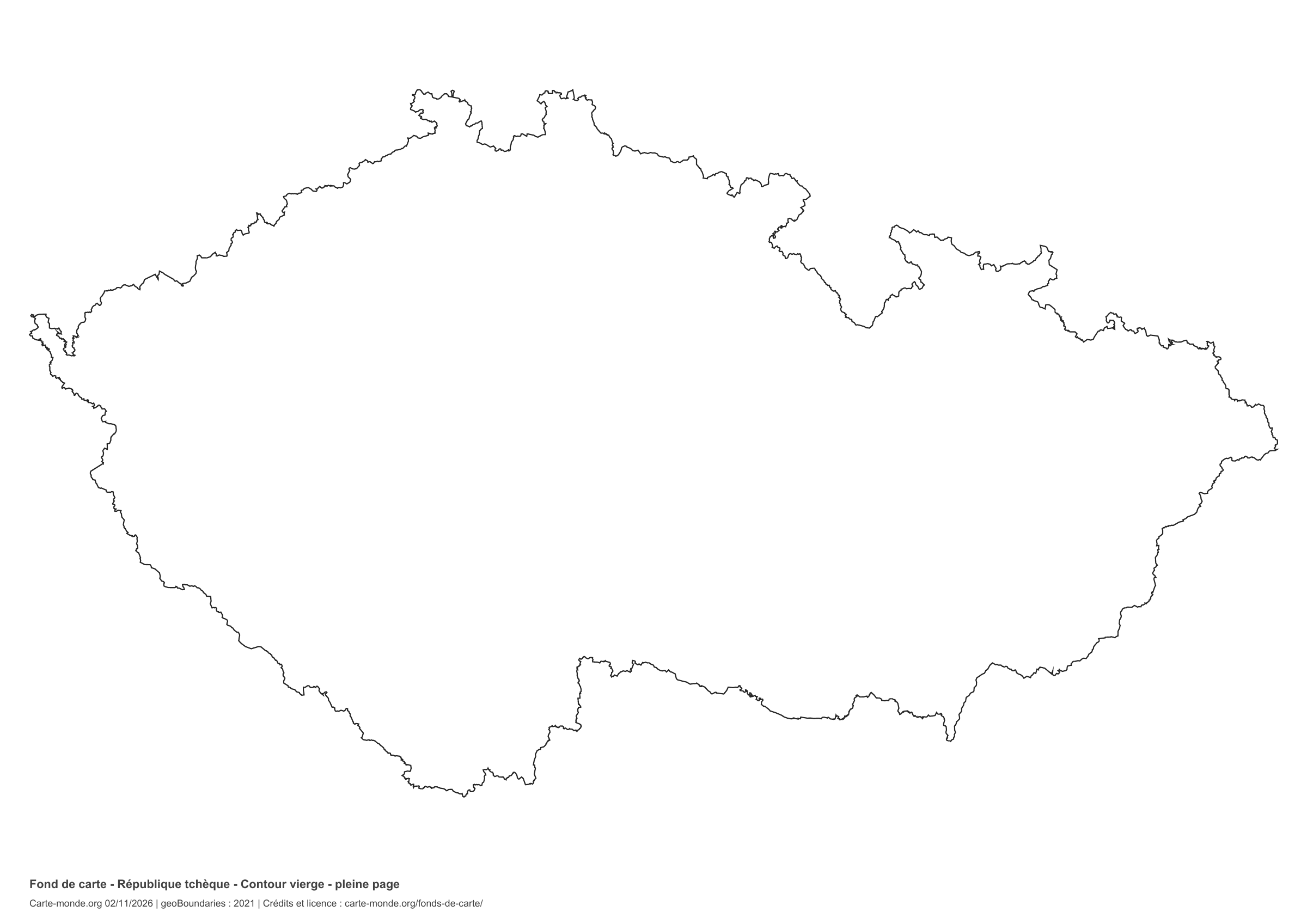
Czechia: full-page outline, base map without names

Model 3 · November 2026 edition

Full-page outline

National outline without names or internal boundaries, to complete freely. The map fills almost the entire sheet; only two reference lines appear at the bottom.

A4 landscape vector PDF · PNG 2 400 px

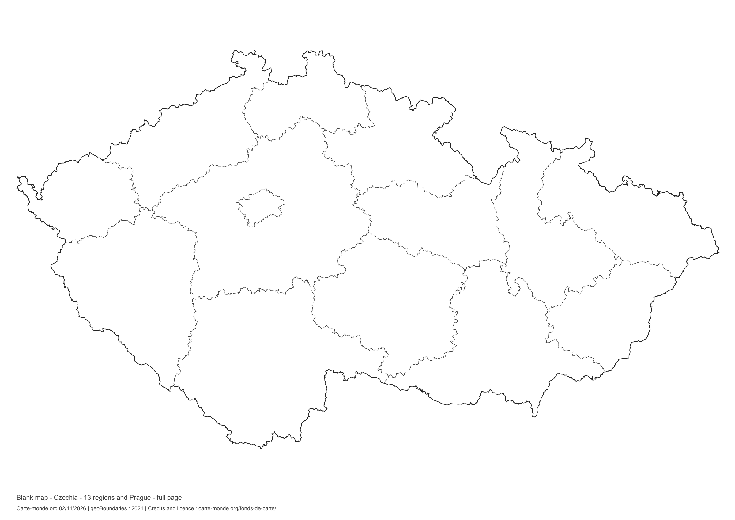
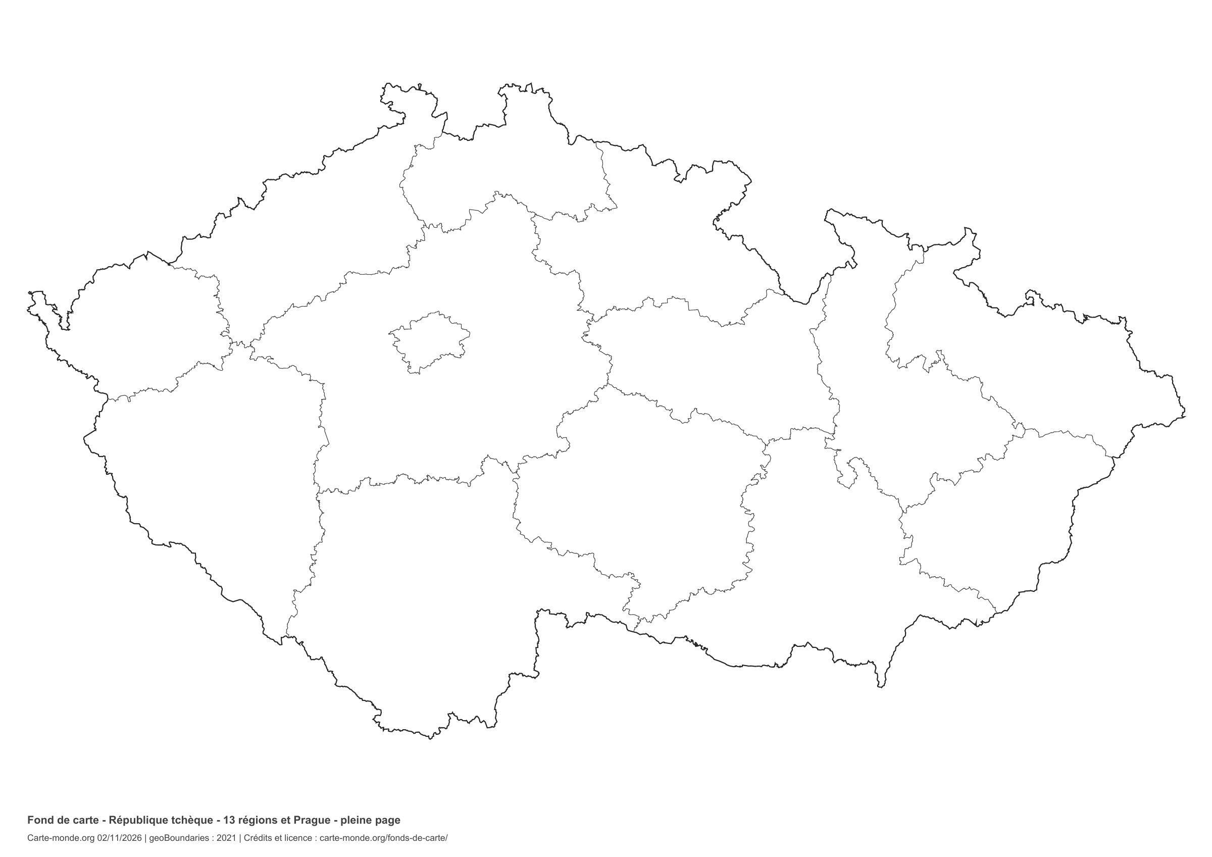
Czechia: full-page boundaries, base map without names

Model 4 · November 2026 edition

Full-page boundaries

Divisions shown: 13 regions and Prague. Add names and colors. The map fills almost the entire sheet; only two reference lines appear at the bottom.

A4 landscape vector PDF · PNG 2 400 px

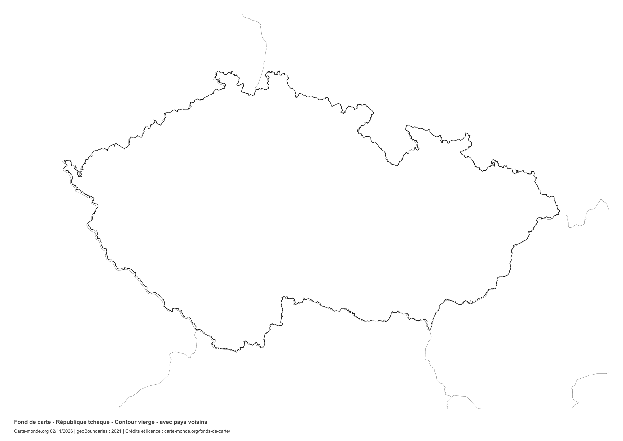
Czechia: outline with neighbouring countries, base map without names

Model 5 · November 2026 edition

Outline with neighbouring countries

National outline without names or internal boundaries, to complete freely. Surrounding countries are shown with light outlines, without names or colour fills.

A4 landscape vector PDF · PNG 2 400 px

Czechia: boundaries with neighbouring countries, base map without names

Model 6 · November 2026 edition

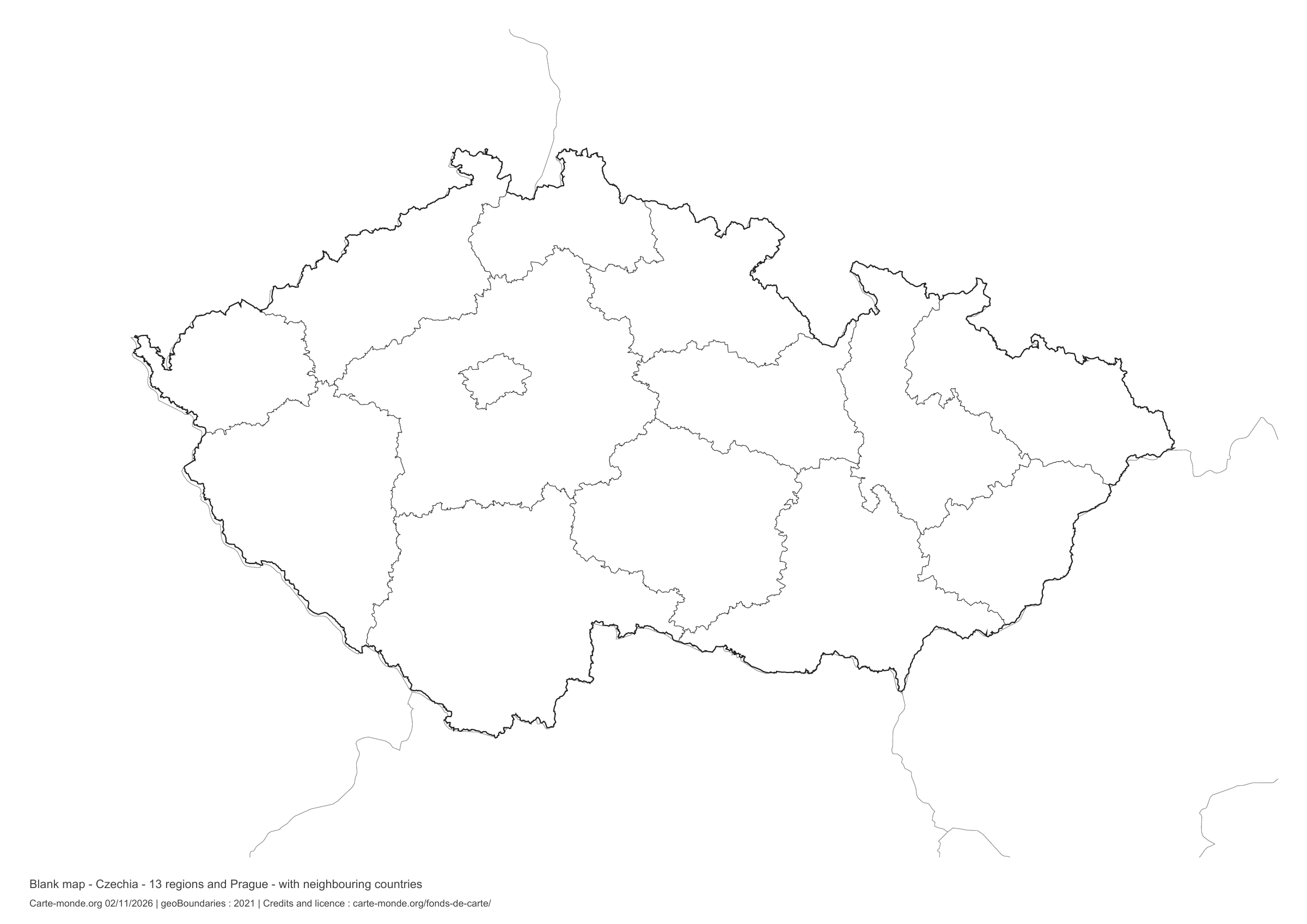
Boundaries with neighbouring countries

Divisions shown: 13 regions and Prague. Add names and colours. The outlines of surrounding countries appear as fine lines, without names or filled areas.

A4 landscape vector PDF · PNG 2 400 px

The six-base-map pack

The six templates in PDF, PNG and editable SVG, with credits and reuse terms.

Download the six base maps — ZIP

Which base map should I choose?

The outline is suitable for freehand sketches: add a capital, cities or rivers. The version with boundaries lets you color or name the units shown in the divisions. Full-page versions enlarge the country and save ink. The last two maps add neighboring countries for location exercises.

Geographical names are deliberately omitted. Any inset titles indicate only their coverage and individual scales.

Maps of Czechia: labelled maps and original collection.

Download and print

  1. Open the PDF for a sharp printout; choose the PNG for a document or presentation.
  2. Print on an A4 sheet using the file’s orientation. Use “Fit to page” if your printer requires it.
  3. Any insets use different scales from the main map. Retain the source notes at the bottom of the sheet.

To edit the outlines, open the pack’s SVG in a vector editor. These generalised maps are intended for exercises and presentations.

Sources and reuse

Geometries: geoBoundaries gbOpen, 2021. Primary source: Czech Office for Surveying. Licence stated in the metadata: Creative Commons Attribution 4.0 International (CC BY 4.0). View the source metadata.

Neighbouring country outlines: Natural Earth 5.1.1, public domain. Layout by Carte-monde.org, 2 November 2026 edition, under CC BY 4.0. The data retain their attributions and licences; consult the ZIP notes before reuse.

Example credit: Carte-monde.org, edition of 2 November 2026 — geoBoundaries / Czech Office for Surveying.

Continue exploring

Maps of Czechia · Maps of European countries · Other maps and archives

Original French files

Printable base maps of Romania

ROMANIA · MAPS TO COMPLETE

Download a blank map of Romania to add names, prepare a sketch map or colour territories. Six black-and-white versions are available: outlines and boundaries, with space for a key, full-page or with neighbouring countries. Each map is available as an A4 PDF and PNG.

Our six blank maps have English labels.

Six base maps of Romania to complete

Coverage: Romania. Divisions: 41 counties and Bucharest.

Geographic reference year: 2017. The files’ edition date does not mean that all boundaries have been updated.

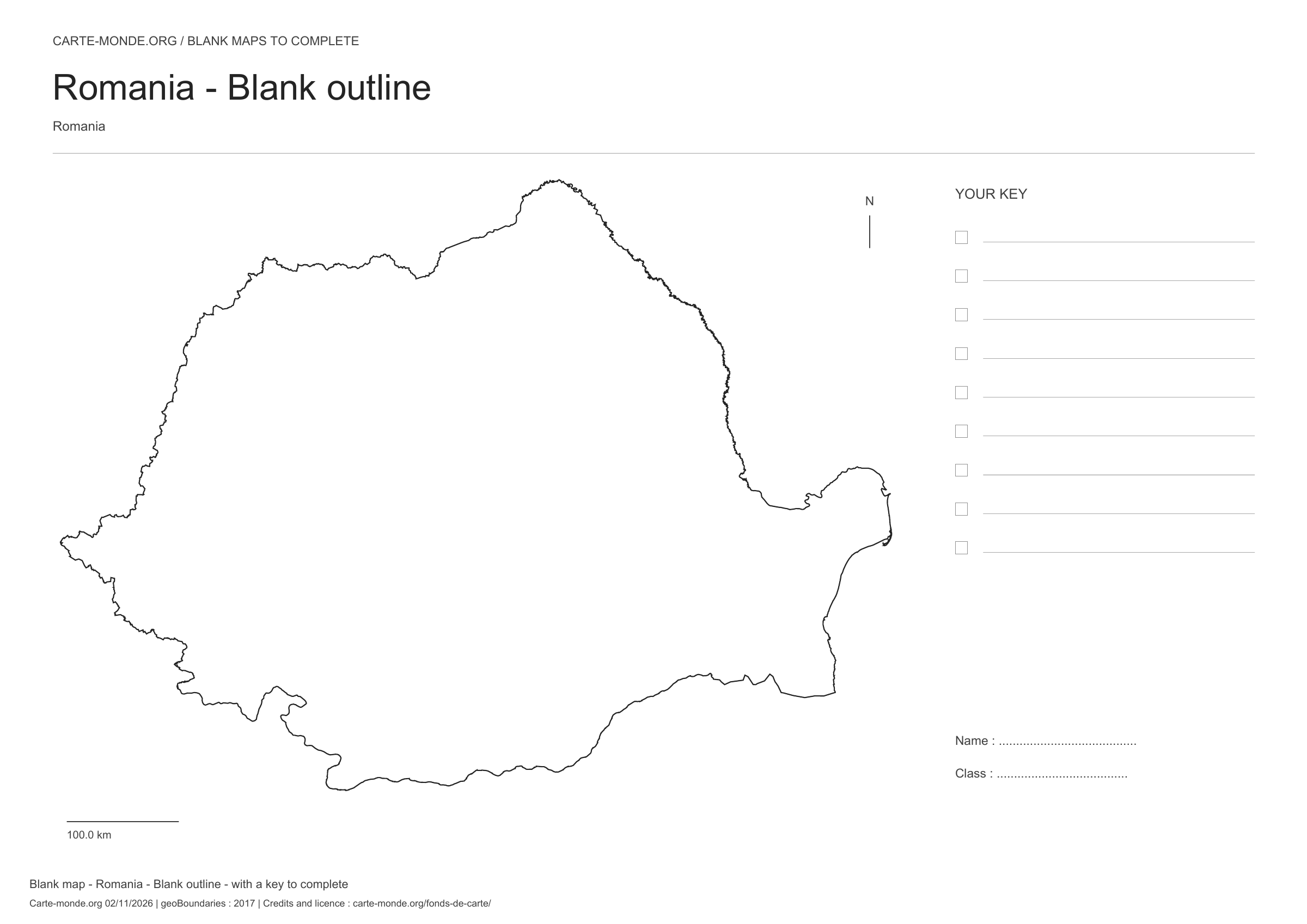
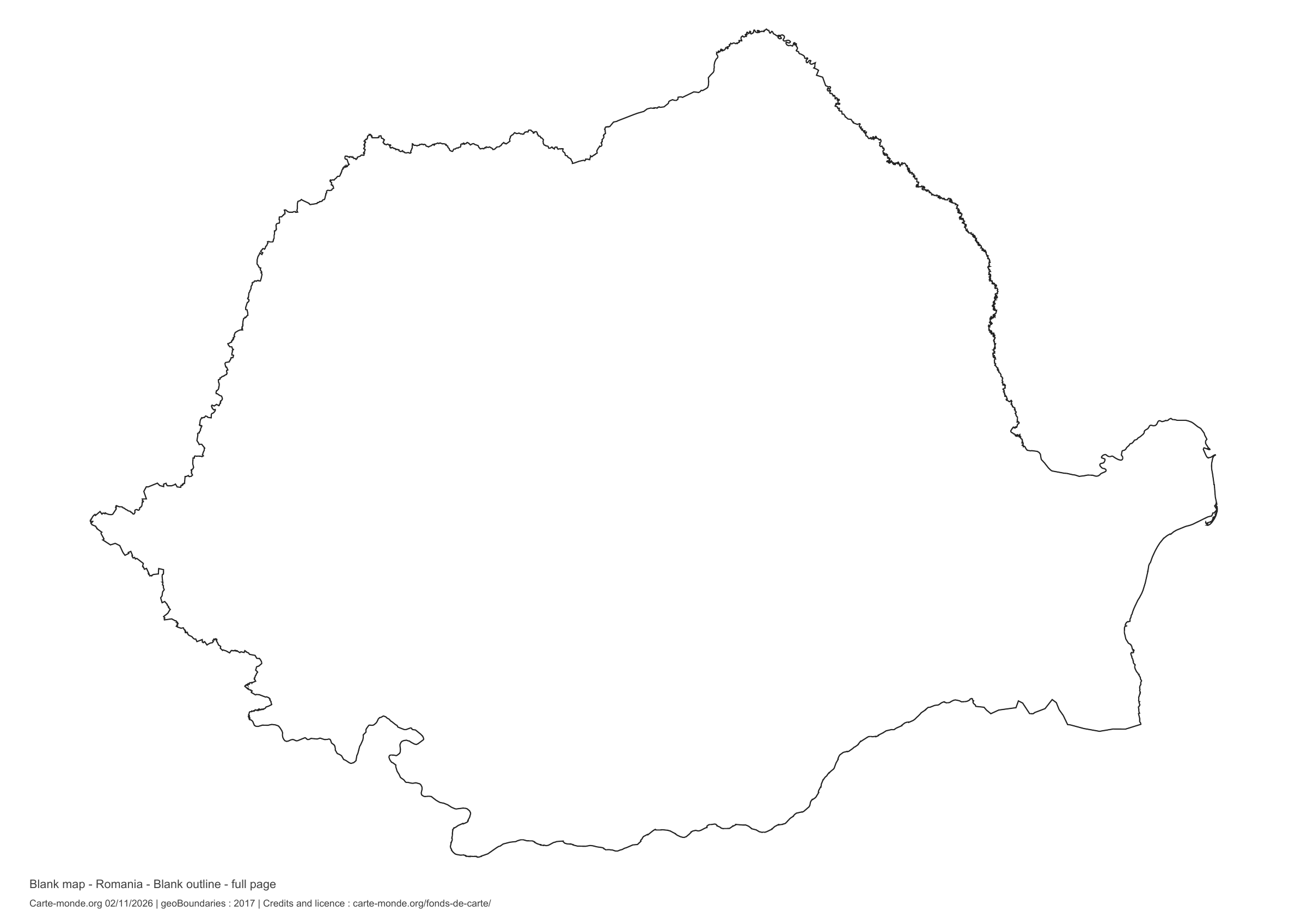
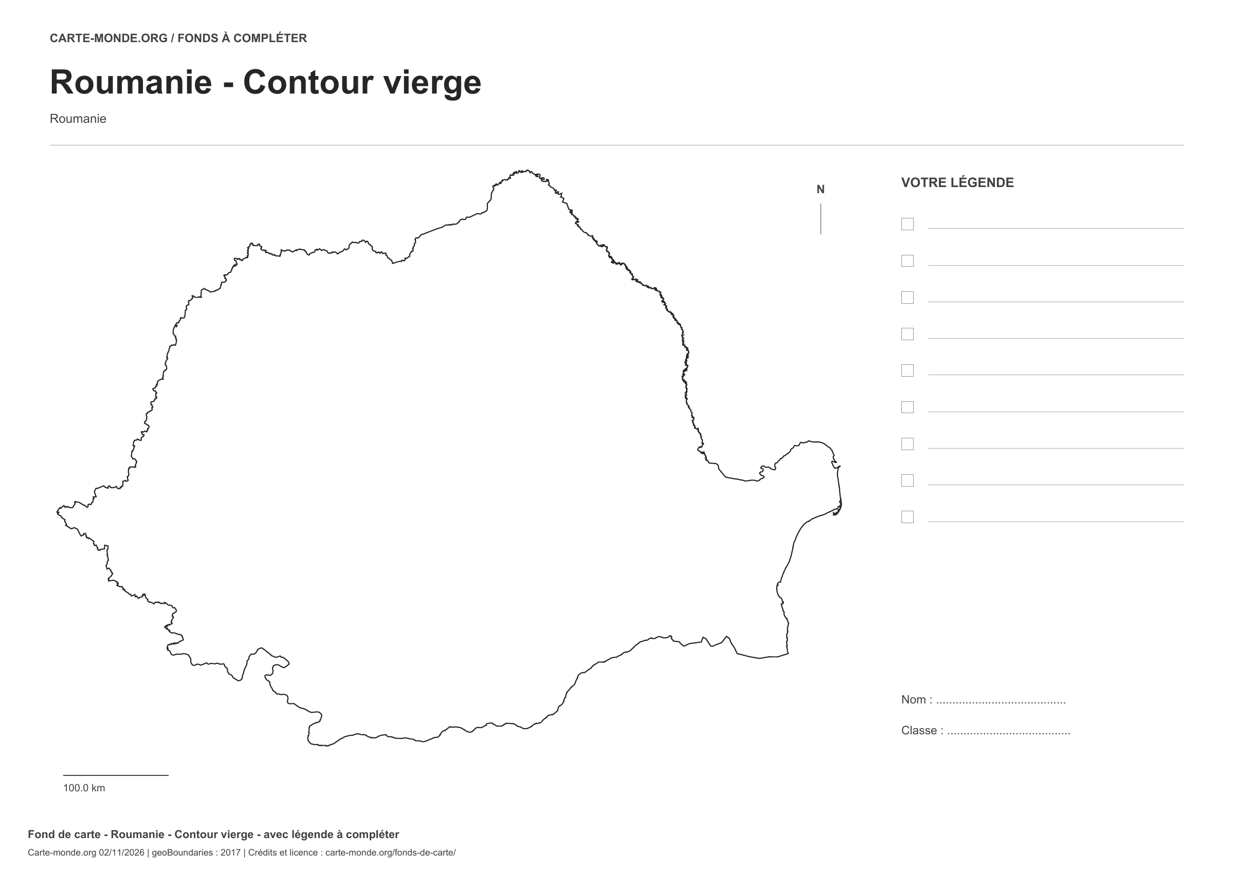
Romania: outline with space for a legend, base map without names

Model 1 · November 2026 edition

Outline with space for a legend

National outline without names or internal boundaries, to complete freely. Space for your key, name and class.

A4 landscape vector PDF · PNG 2 400 px

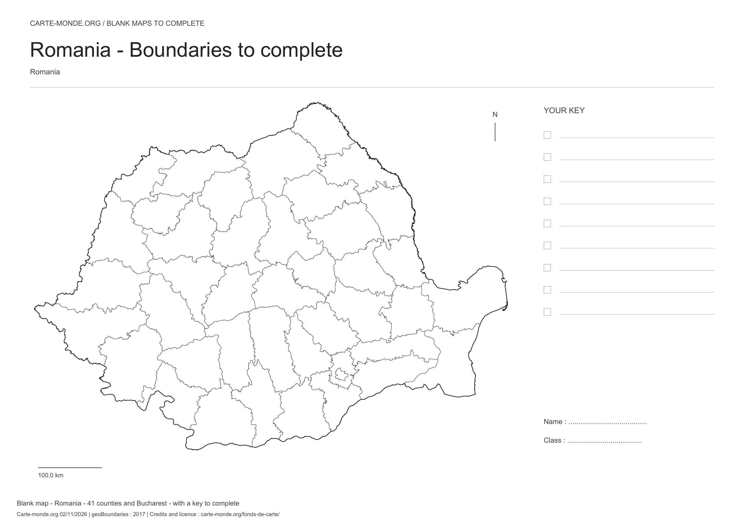
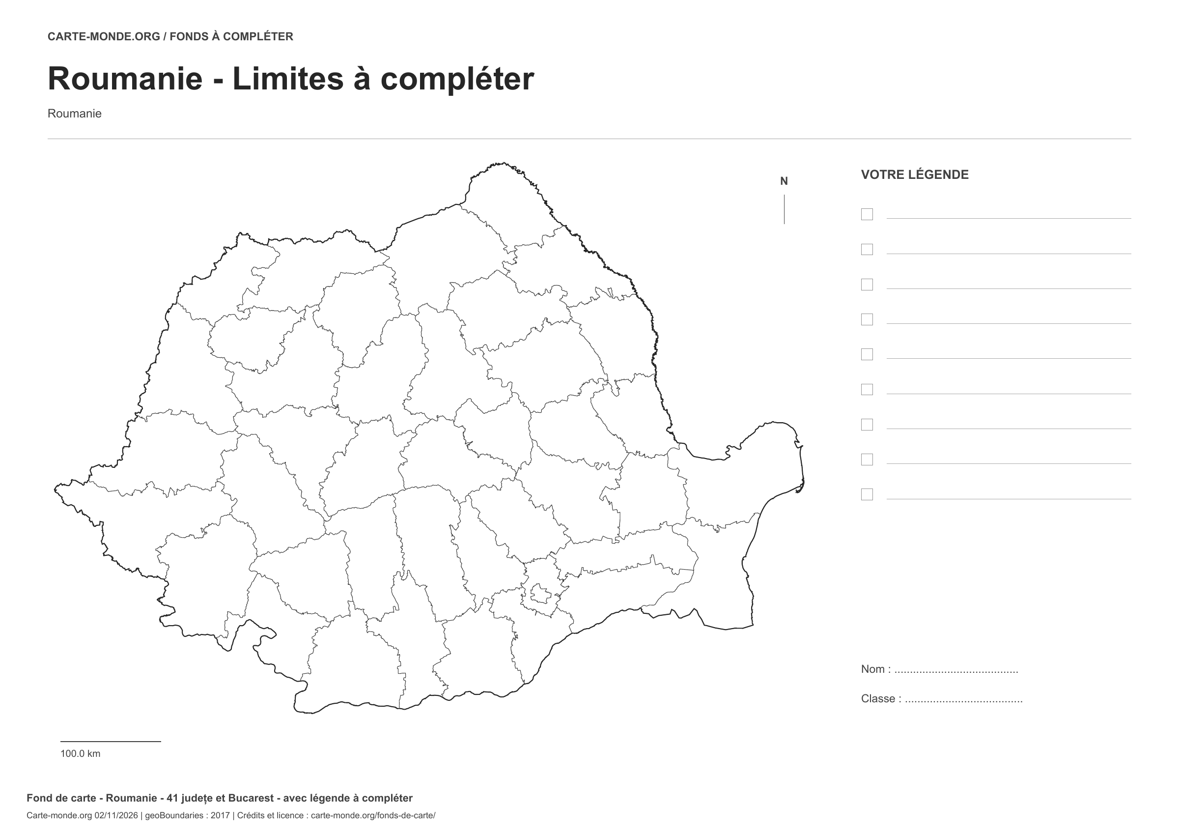
Romania: boundaries with space for a legend, base map without names

Model 2 · November 2026 edition

Boundaries with space for a legend

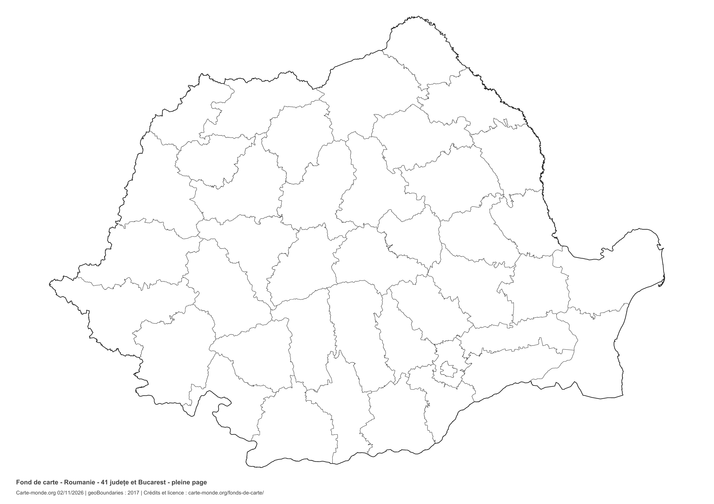
Divisions shown: 41 județe and Bucharest. Add names and colors. Space for your legend, name and class.

A4 landscape vector PDF · PNG 2 400 px

Romania: full-page outline, base map without names

Model 3 · November 2026 edition

Full-page outline

National outline without names or internal boundaries, to complete freely. The map fills almost the entire sheet; only two reference lines appear at the bottom.

A4 landscape vector PDF · PNG 2 400 px

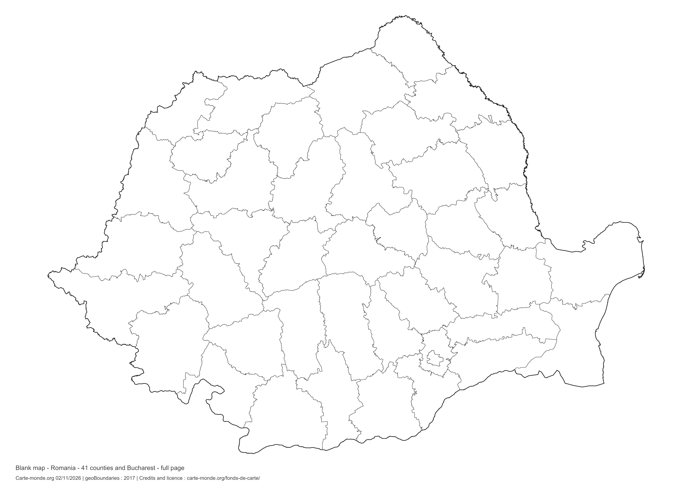
Romania: full-page boundaries, base map without names

Model 4 · November 2026 edition

Full-page boundaries

Divisions shown: 41 counties and Bucharest. Add names and colours. The map covers almost the entire sheet; only two reference lines appear at the bottom.

A4 landscape vector PDF · PNG 2 400 px

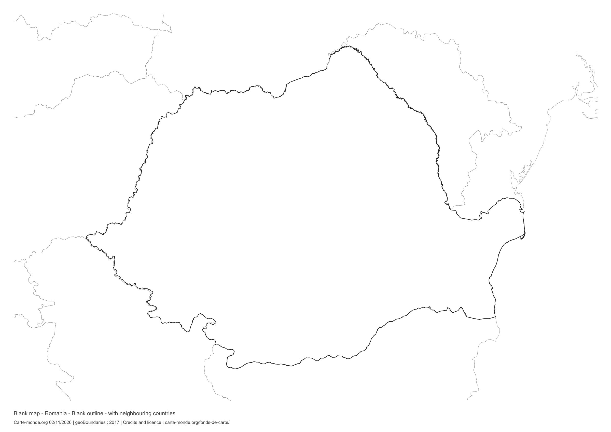
Romania: outline with neighbouring countries, base map without names

Model 5 · November 2026 edition

Outline with neighbouring countries

National outline without names or internal boundaries, to complete freely. Surrounding countries are shown with light outlines, without names or colour fills.

A4 landscape vector PDF · PNG 2 400 px

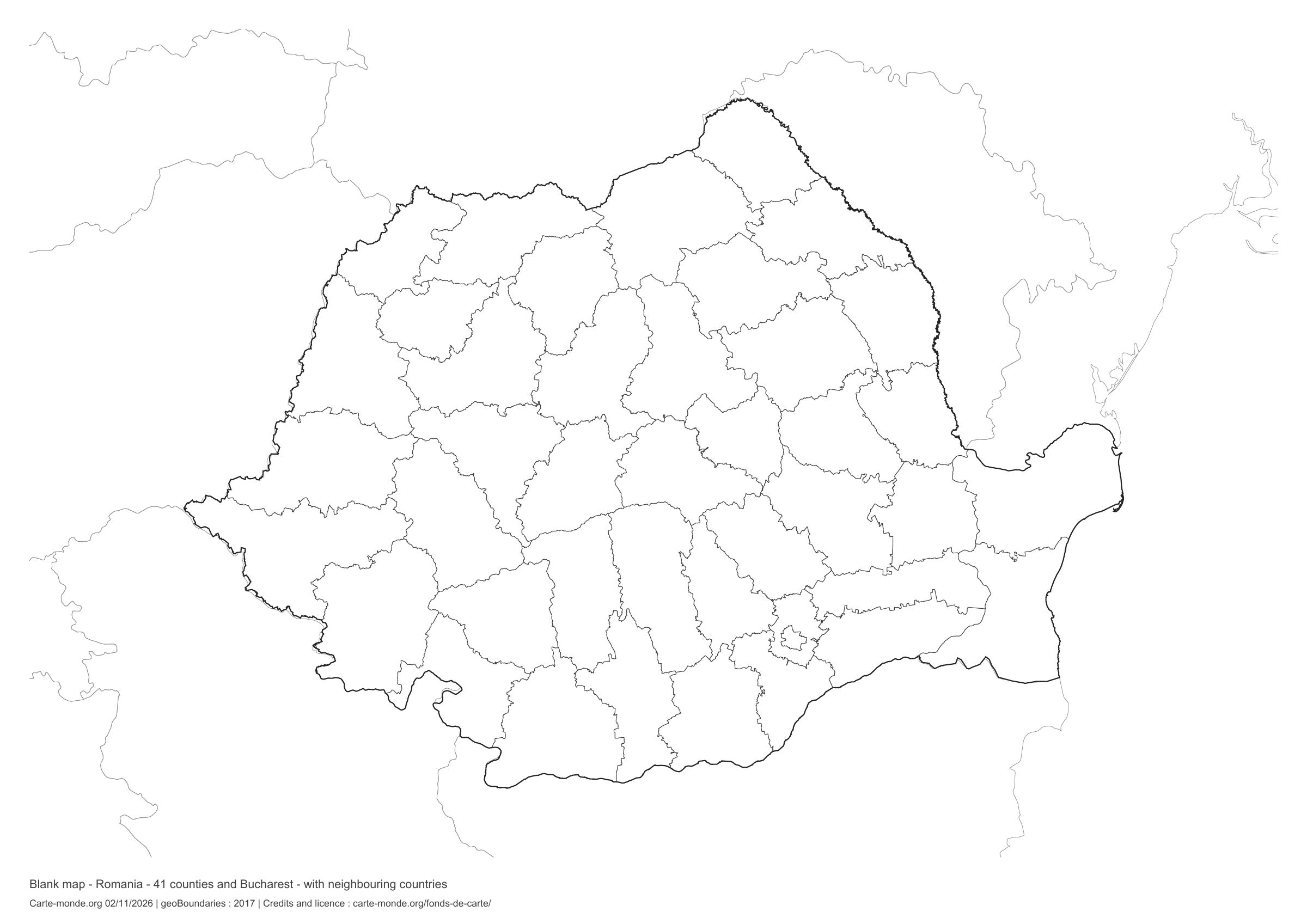
Romania: boundaries with neighbouring countries, base map without names

Model 6 · November 2026 edition

Boundaries with neighbouring countries

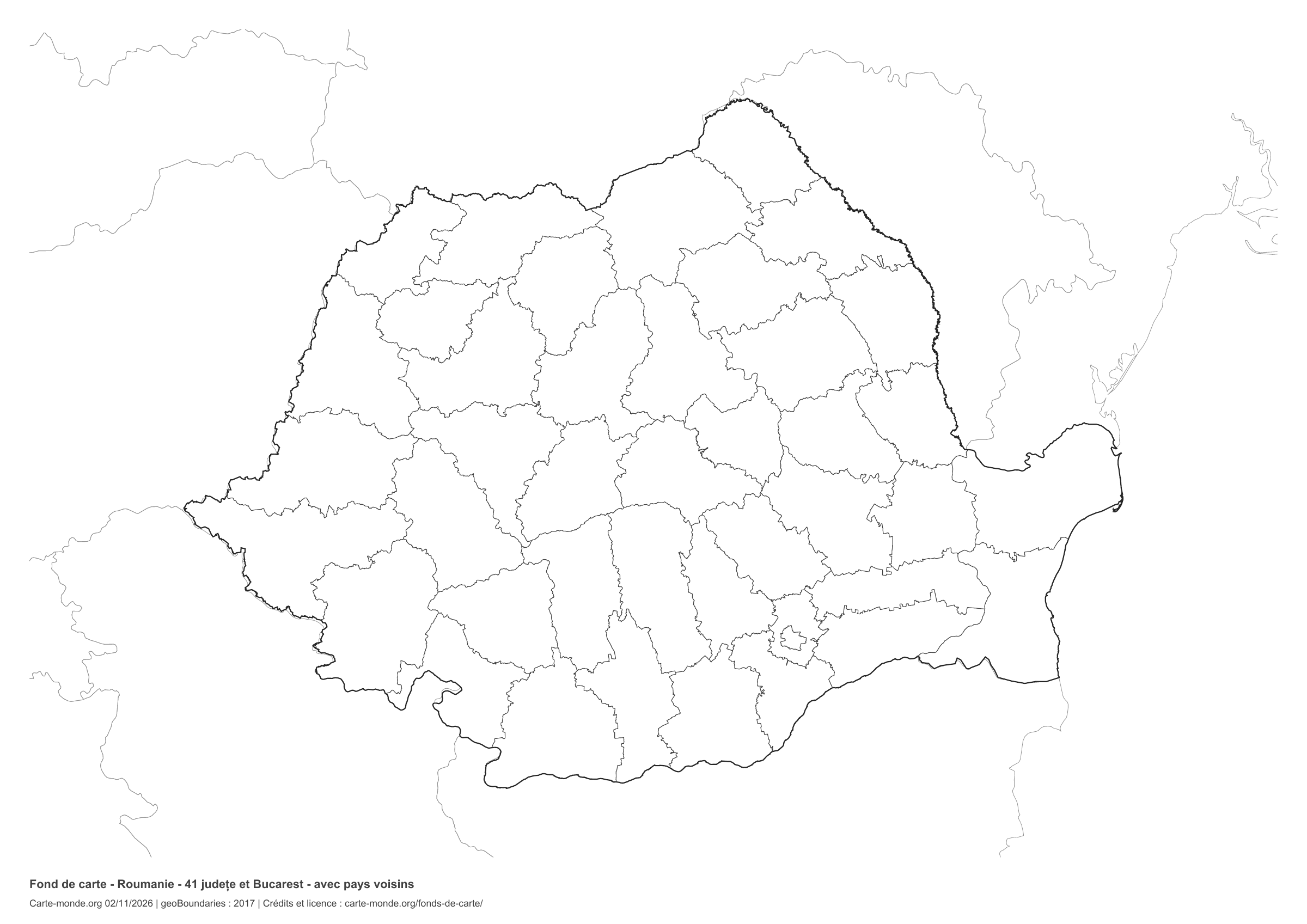
Divisions shown: 41 județe and Bucharest. Add names and colors. The outlines of surrounding countries appear as light lines, without names or color fills.

A4 landscape vector PDF · PNG 2 400 px

The six-base-map pack

The six templates in PDF, PNG and editable SVG, with credits and reuse terms.

Download the six base maps — ZIP

Which base map should I choose?

The outline is suitable for freehand sketches: add a capital, cities or rivers. The version with boundaries lets you color or name the units shown in the divisions. Full-page versions enlarge the country and save ink. The last two maps add neighboring countries for location exercises.

Geographical names are deliberately omitted. Any inset titles indicate only their coverage and individual scales.

Maps of Romania: labelled maps and original collection.

Download and print

  1. Open the PDF for a sharp printout; choose the PNG for a document or presentation.
  2. Print on an A4 sheet using the file’s orientation. Use “Fit to page” if your printer requires it.
  3. Any insets use different scales from the main map. Retain the source notes at the bottom of the sheet.

To edit the outlines, open the pack’s SVG in a vector editor. These generalised maps are intended for exercises and presentations.

Sources and reuse

Geometries: geoBoundaries gbOpen, 2017. Primary source: World Bank. Licence stated in the metadata: Creative Commons Attribution 4.0 International (CC BY 4.0). View the source metadata.

Neighbouring country outlines: Natural Earth 5.1.1, public domain. Layout by Carte-monde.org, 2 November 2026 edition, under CC BY 4.0. The data retain their attributions and licences; consult the ZIP notes before reuse.

Example credit: Carte-monde.org, edition dated 2 November 2026 — geoBoundaries / World Bank.

Continue exploring

Maps of Romania · Maps of European countries · Other maps and archives

Original French files

Printable base maps of the United Kingdom

UNITED KINGDOM · MAPS TO COMPLETE

Download a blank map of the United Kingdom to add names, prepare a sketch map or colour territories. Six black-and-white versions are available: outlines and boundaries, with space for a key, full-page or with neighbouring countries. Each map is available as an A4 PDF and PNG.

Our six blank maps have English labels.

Six base maps of the United Kingdom to complete

Coverage: United Kingdom, including Northern Ireland, without dependencies. Divisions: 4 constituent countries.

Geographic reference year: 2021. The files’ edition date does not mean that all boundaries have been updated.

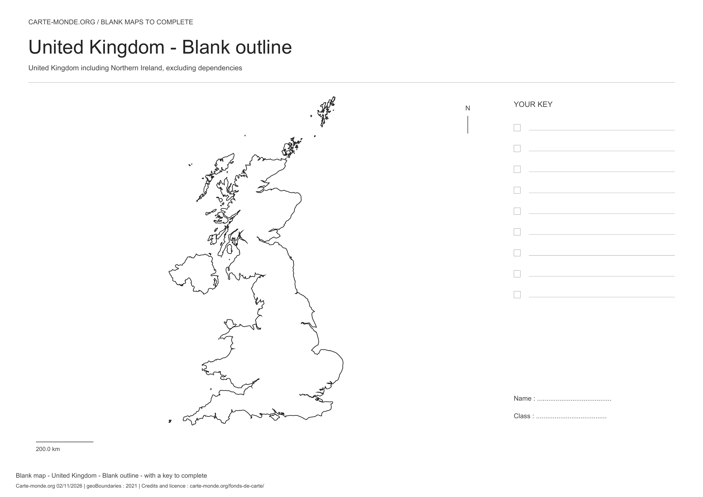
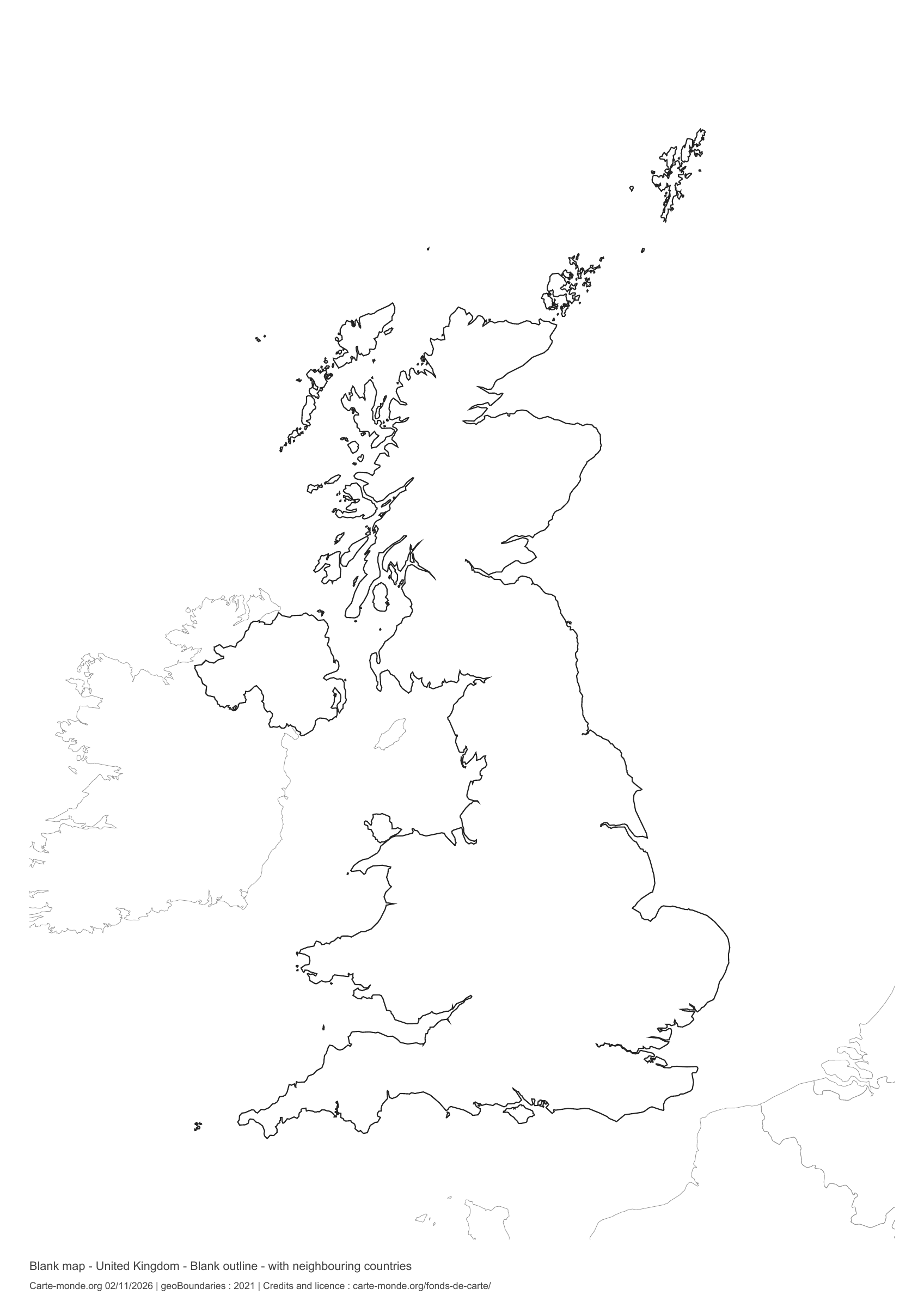
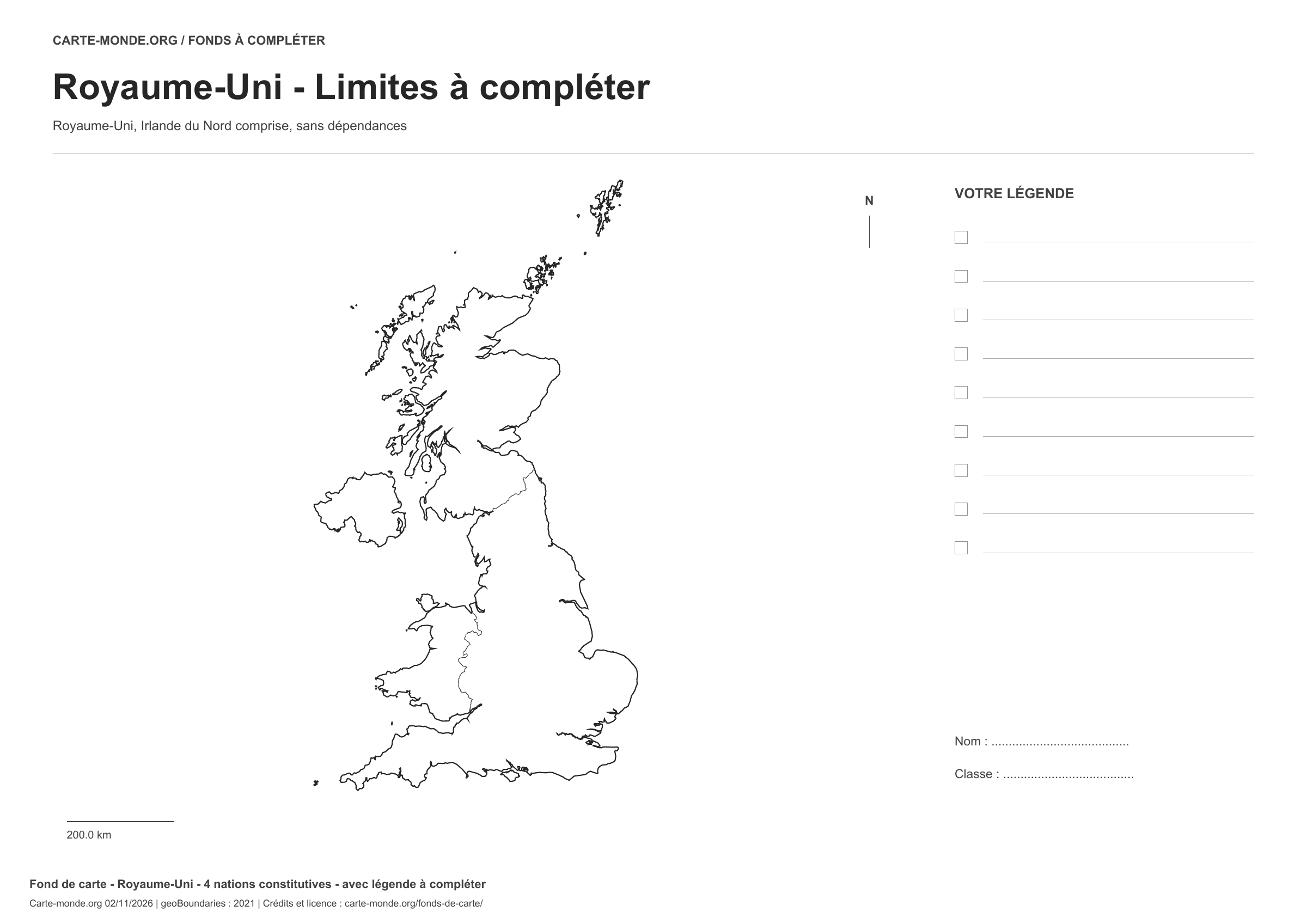
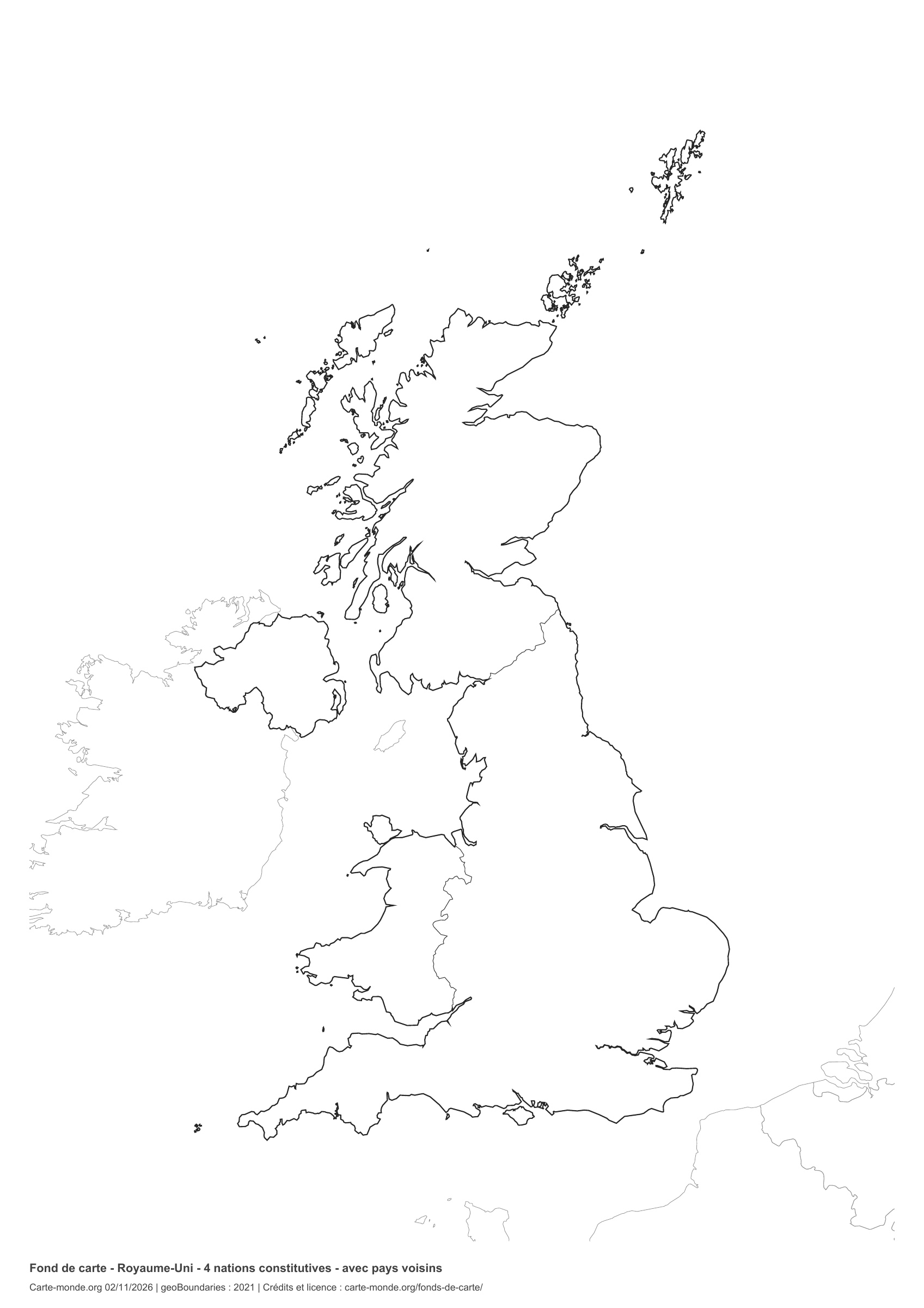
United Kingdom: outline with space for a legend, base map without names

Model 1 · November 2026 edition

Outline with space for a legend

National outline without names or internal boundaries, to complete freely. Space for your key, name and class.

A4 landscape vector PDF · PNG 2 400 px

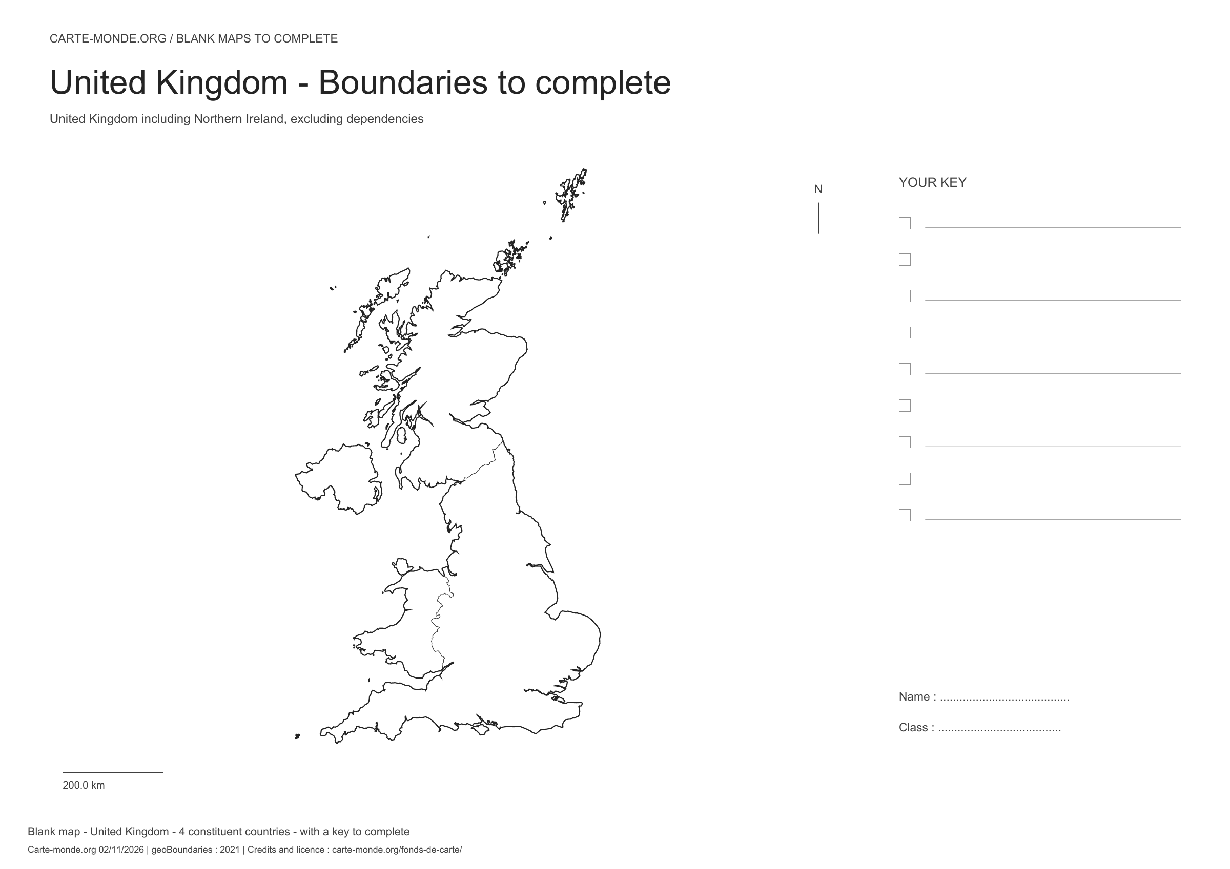
United Kingdom: boundaries with space for a legend, base map without names

Model 2 · November 2026 edition

Boundaries with space for a legend

Divisions shown: 4 constituent countries. Add names and colours. Space for your key, name and class.

A4 landscape vector PDF · PNG 2 400 px

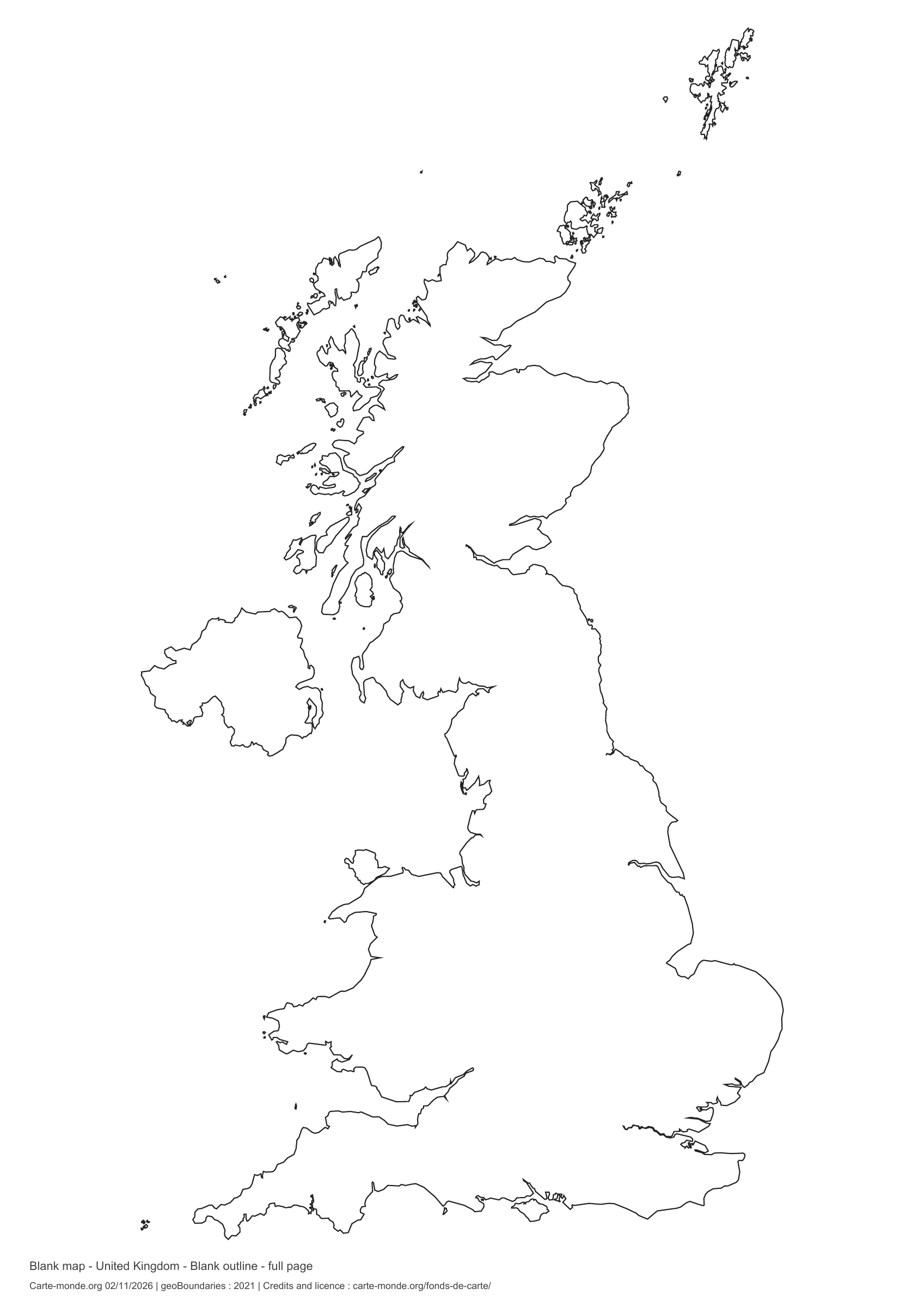
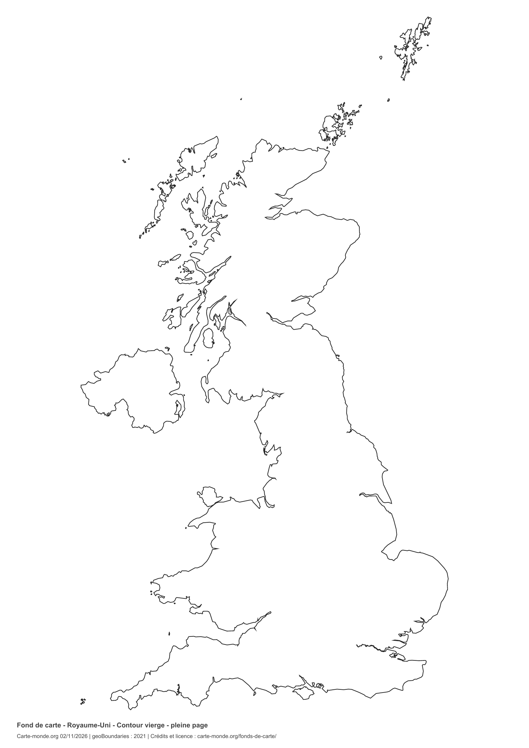
United Kingdom: full-page outline, base map without names

Model 3 · November 2026 edition

Full-page outline

National outline without names or internal boundaries, to complete freely. The map fills almost the entire sheet; only two reference lines appear at the bottom.

A4 portrait vector PDF · PNG 2 400 px

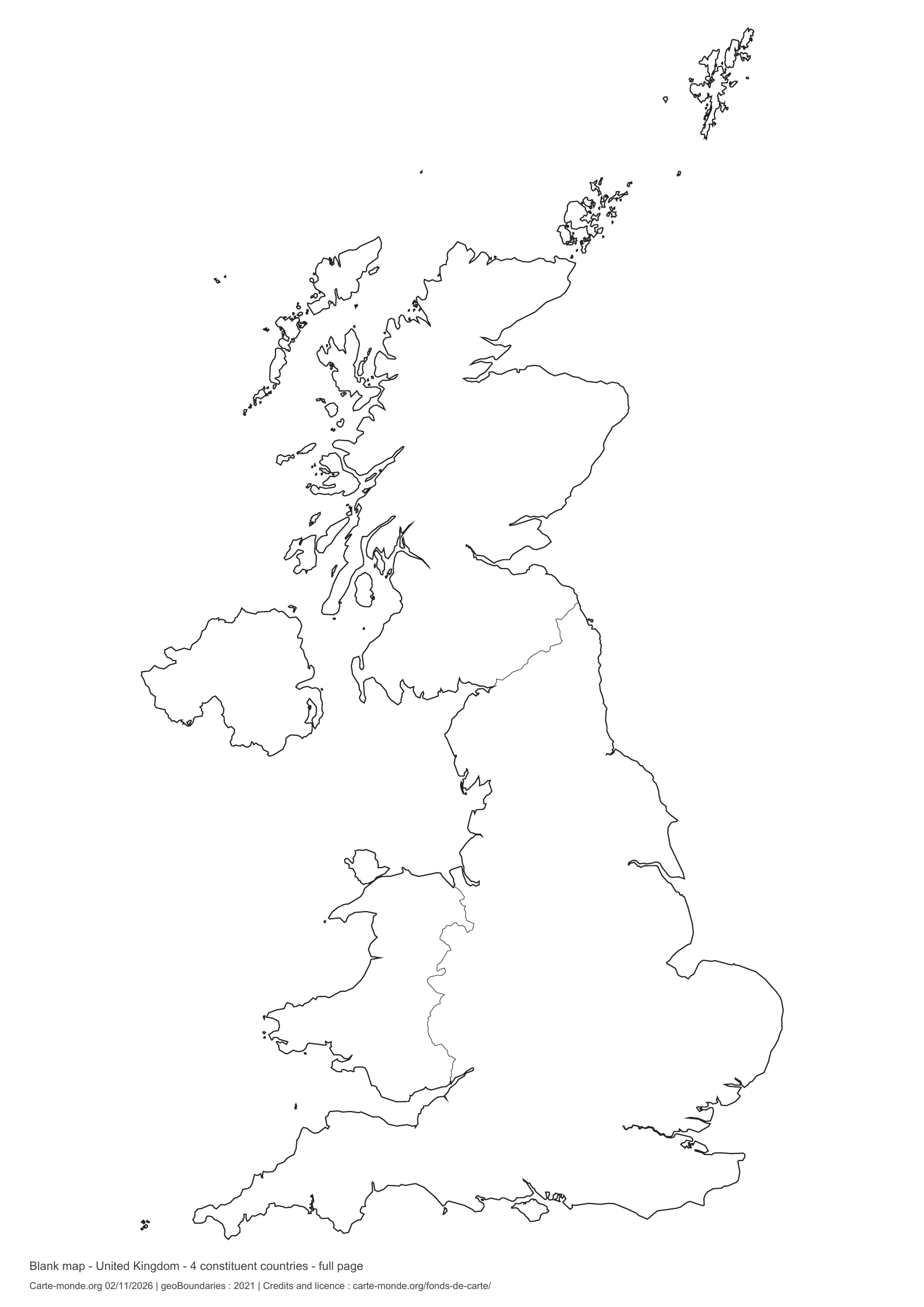
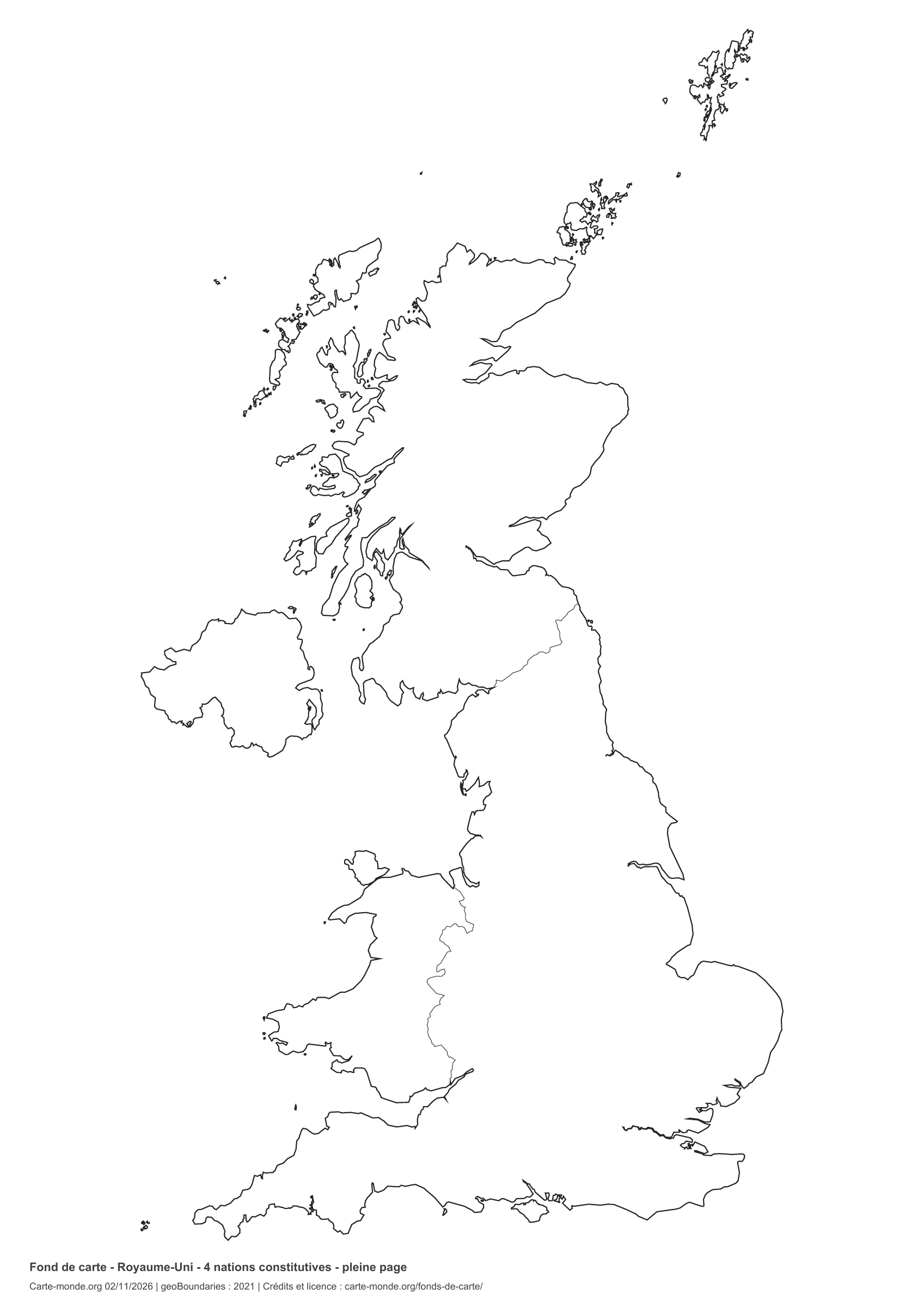
United Kingdom: full-page boundaries, base map without names

Model 4 · November 2026 edition

Full-page boundaries

Divisions shown: 4 constituent countries. Add names and colors. The map fills almost the entire sheet; only two reference lines appear at the bottom.

A4 portrait vector PDF · PNG 2 400 px

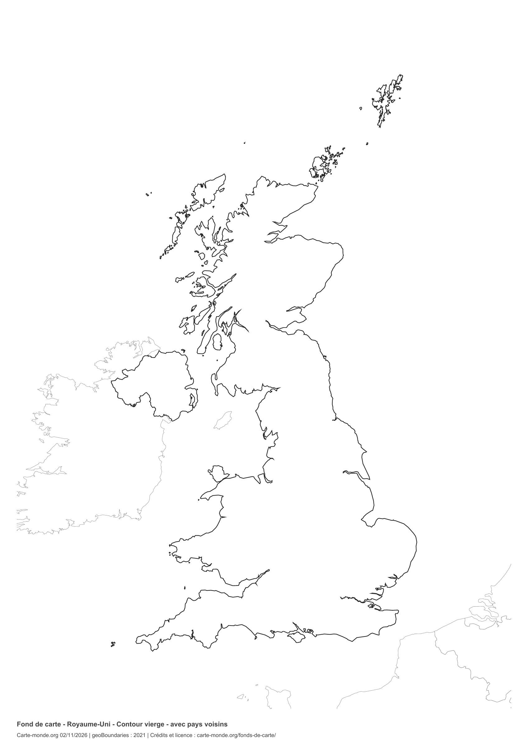
United Kingdom: outline with neighbouring countries, base map without names

Model 5 · November 2026 edition

Outline with neighbouring countries

National outline without names or internal boundaries, to complete freely. Surrounding countries are shown with light outlines, without names or colour fills.

A4 portrait vector PDF · PNG 2 400 px

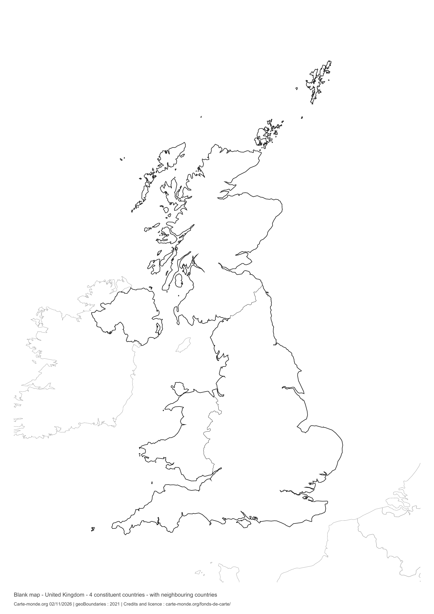
United Kingdom: boundaries with neighbouring countries, base map without names

Model 6 · November 2026 edition

Boundaries with neighbouring countries

Divisions shown: 4 constituent countries. Add names and colors. The outlines of surrounding countries appear as light lines, without names or color fills.

A4 portrait vector PDF · PNG 2 400 px

The six-base-map pack

The six templates in PDF, PNG and editable SVG, with credits and reuse terms.

Download the six base maps — ZIP

Which base map should I choose?

The outline is suitable for freehand sketches: add a capital, cities or rivers. The version with boundaries lets you color or name the units shown in the divisions. Full-page versions enlarge the country and save ink. The last two maps add neighboring countries for location exercises.

Geographical names are deliberately omitted. Any inset titles indicate only their coverage and individual scales.

Maps of the United Kingdom: labelled maps and original collection.

Download and print

  1. Open the PDF for a sharp printout; choose the PNG for a document or presentation.
  2. Print on an A4 sheet using the file’s orientation. Use “Fit to page” if your printer requires it.
  3. Any insets use different scales from the main map. Retain the source notes at the bottom of the sheet.

To edit the outlines, open the pack’s SVG in a vector editor. These generalised maps are intended for exercises and presentations.

Sources and reuse

Geometries: geoBoundaries gbOpen, 2021. Primary source: Eurostat- European Commission. Licence stated in the metadata: Creative Commons Attribution 4.0 International (CC BY 4.0). View the source metadata.

Neighbouring country outlines: Natural Earth 5.1.1, public domain. Layout by Carte-monde.org, 2 November 2026 edition, under CC BY 4.0. The data retain their attributions and licences; consult the ZIP notes before reuse.

Example credit: Carte-monde.org, edition of 2 November 2026 — geoBoundaries / Eurostat- European Commission.

Continue exploring

Maps of the United Kingdom · Maps of European countries · Other maps and archives

Original French files

Printable base maps of Russia

RUSSIA · MAPS TO COMPLETE

Download a blank map of Russia to add names, prepare a sketch map or colour territories. Six black-and-white versions are available: outlines and boundaries, with space for a key, full-page or with neighbouring countries. Each map is available as an A4 PDF and PNG.

Our six blank maps have English labels.

Cartographic convention for Crimea

In this edition’s in-house maps, Crimea and Sevastopol are shown with Russia according to de facto control. The UN considers them part of Ukraine and does not recognise the annexation. Reference situation as of 7 November 2026. Maps from other publishers and earlier editions retain their original boundaries and dates.

Six base maps of Russia to complete

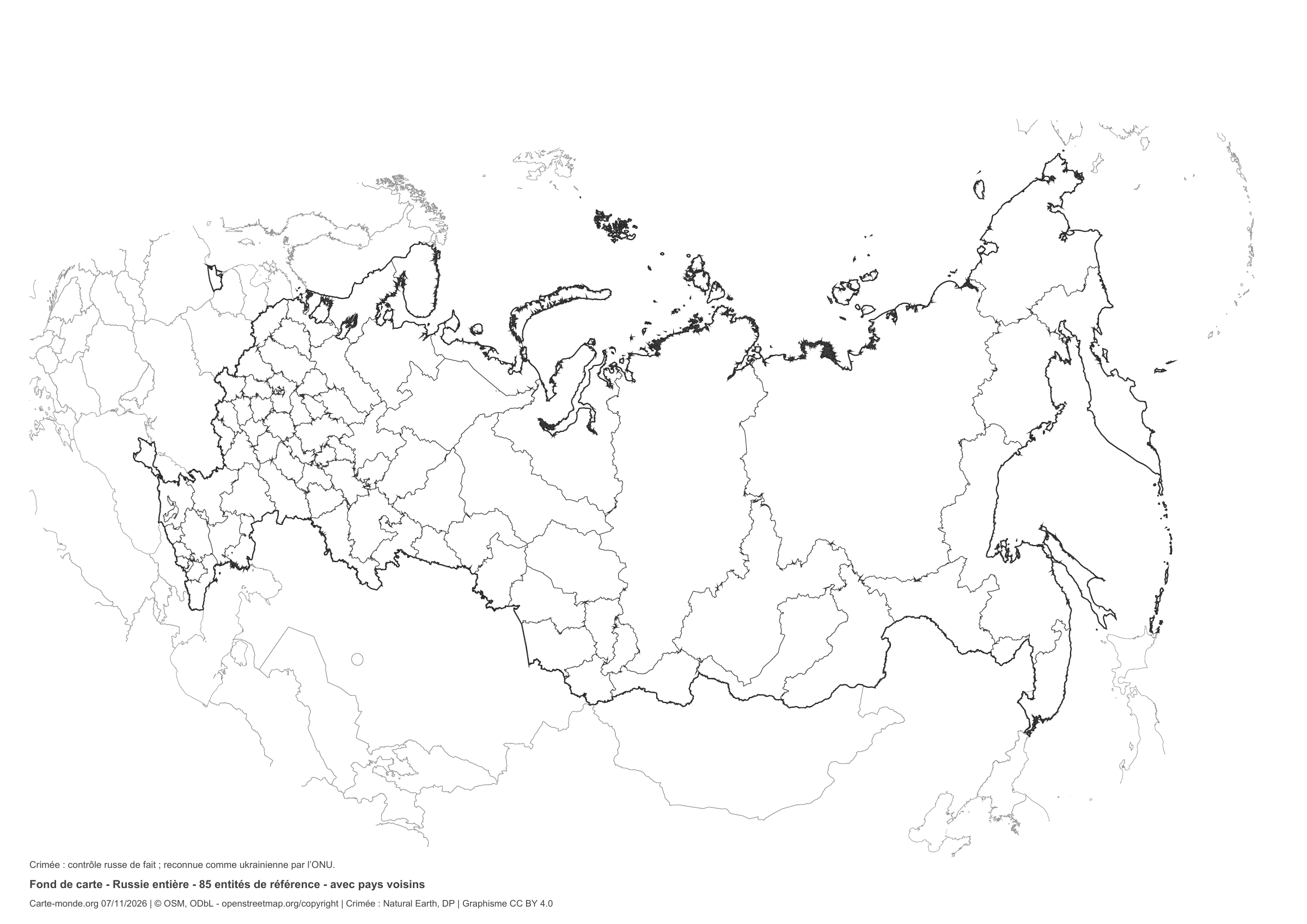
Coverage: All of Russia; reference 2017, supplemented by Crimea and Sevastopol according to de facto Russian control. Divisions: 85 entities: 83 reference federal subjects from 2017 and Crimea/Sevastopol under de facto Russian control.

Geographical data year: 2017. The file edition date does not mean all boundaries have been updated. The divisions follow the earlier reference framework; Crimea’s depiction is adapted to de facto Russian control.

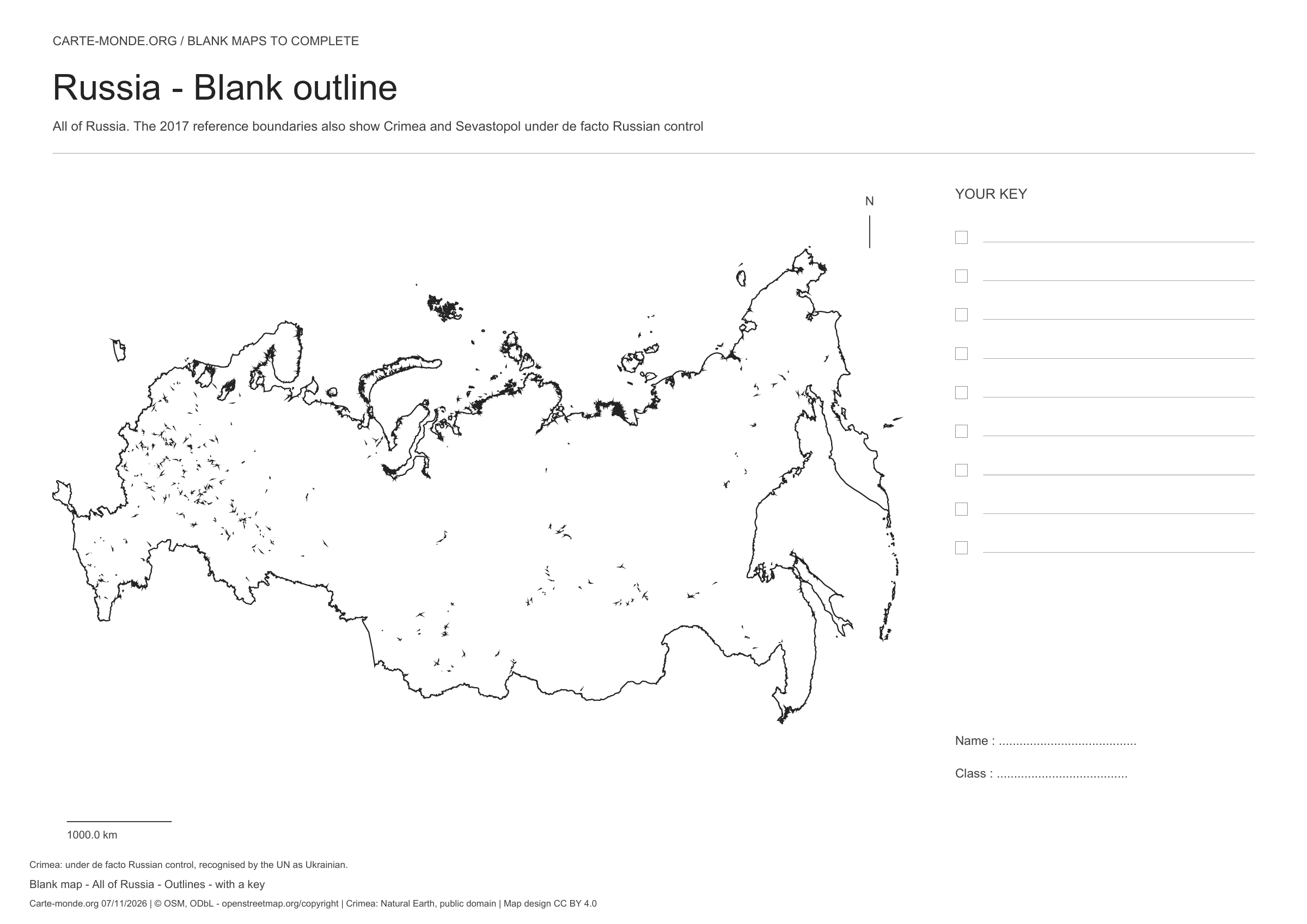
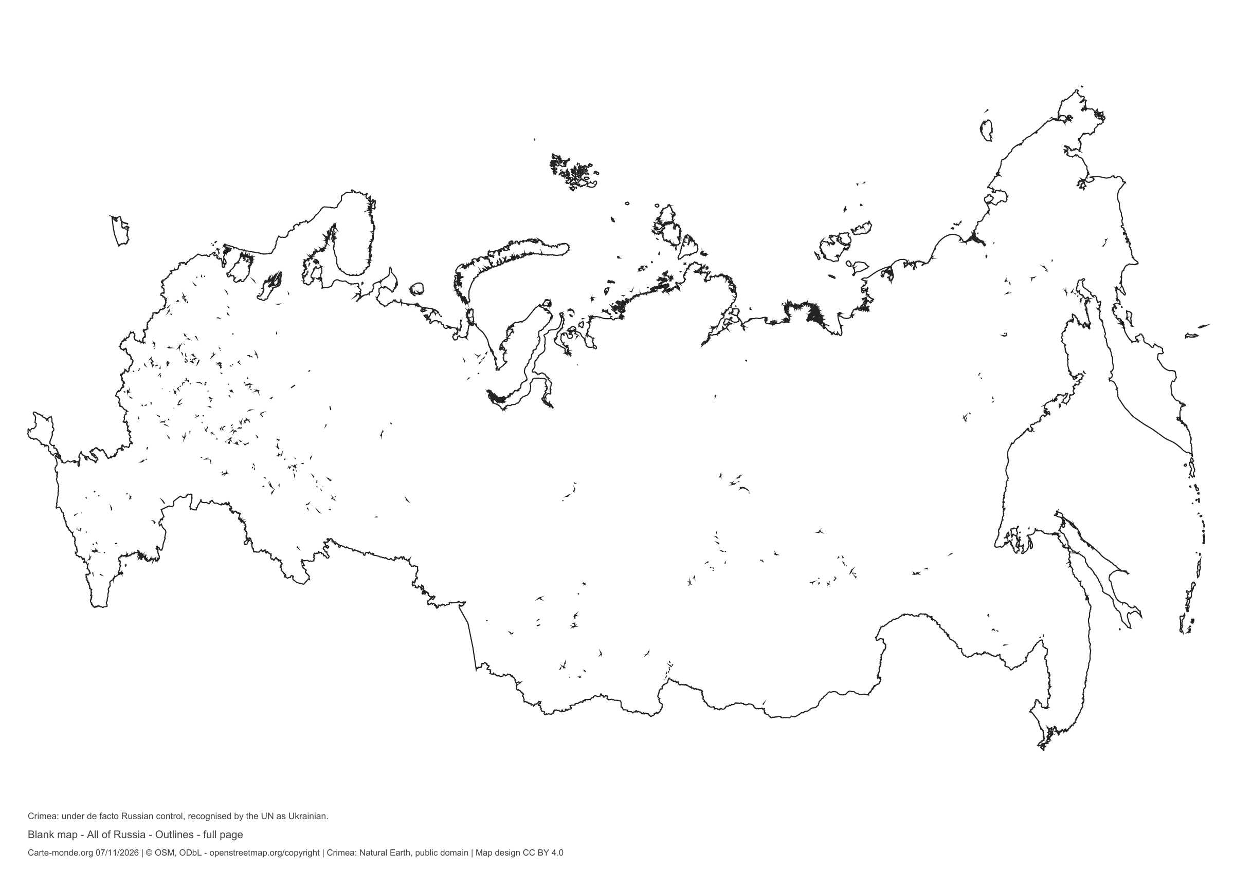
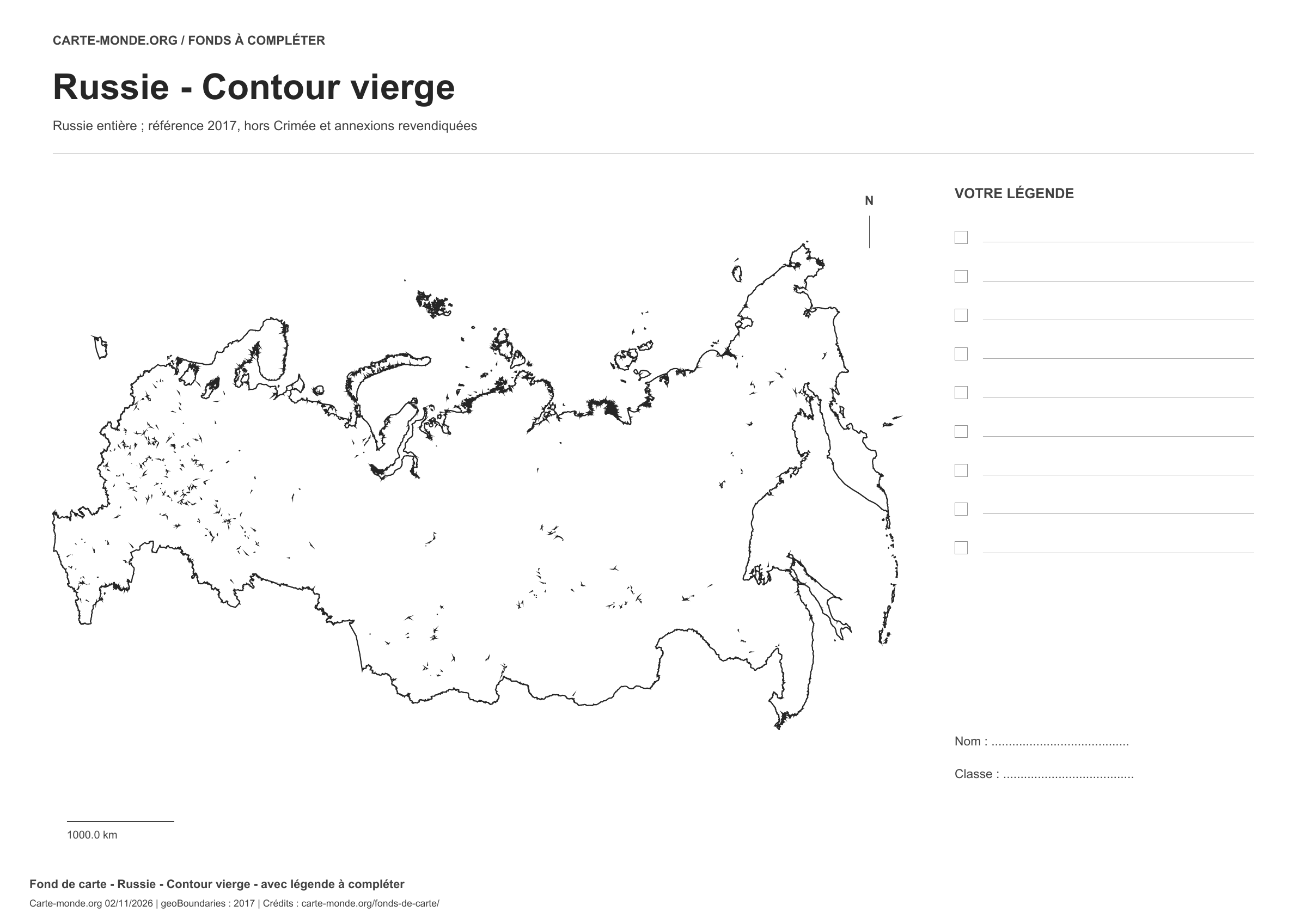
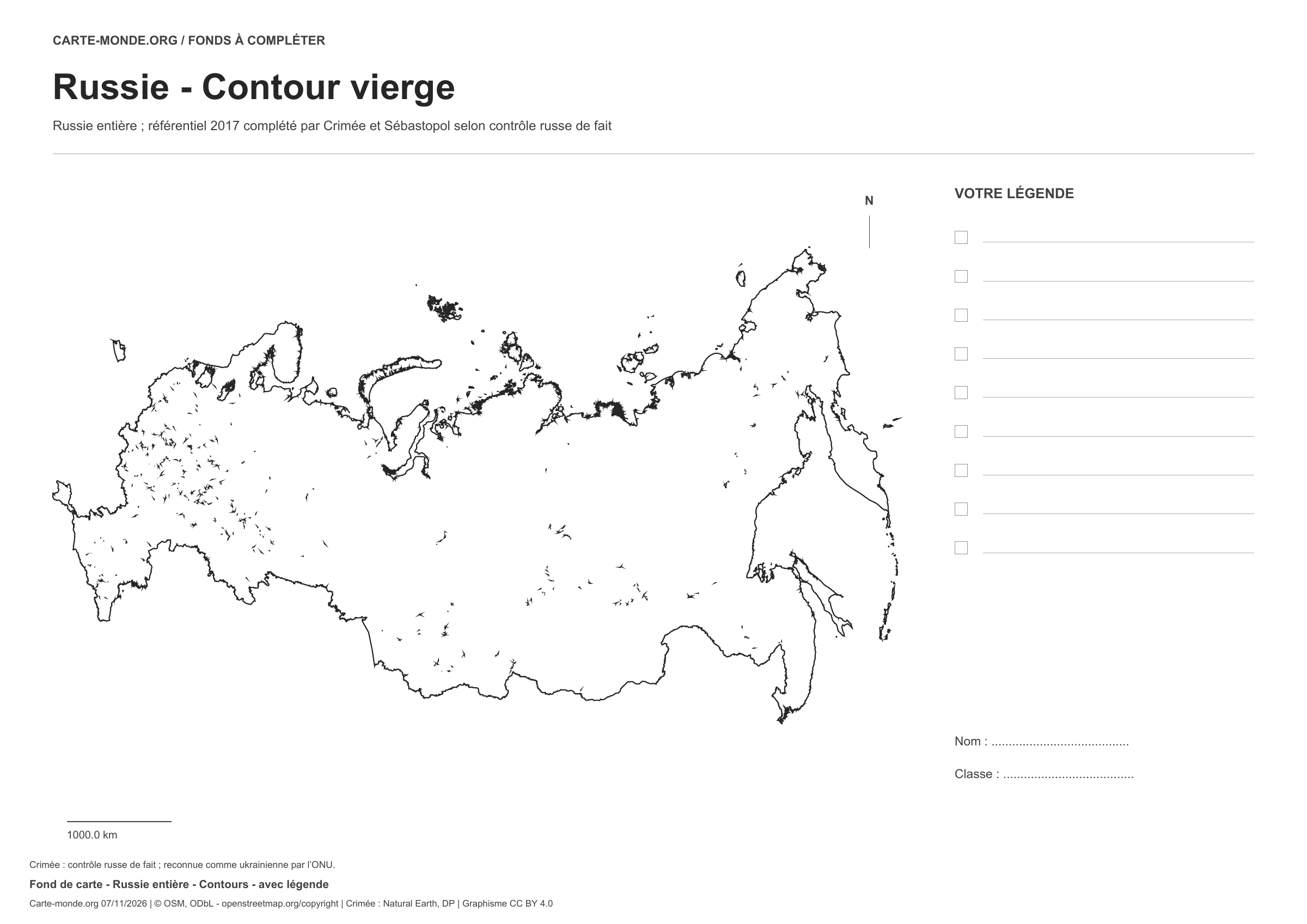
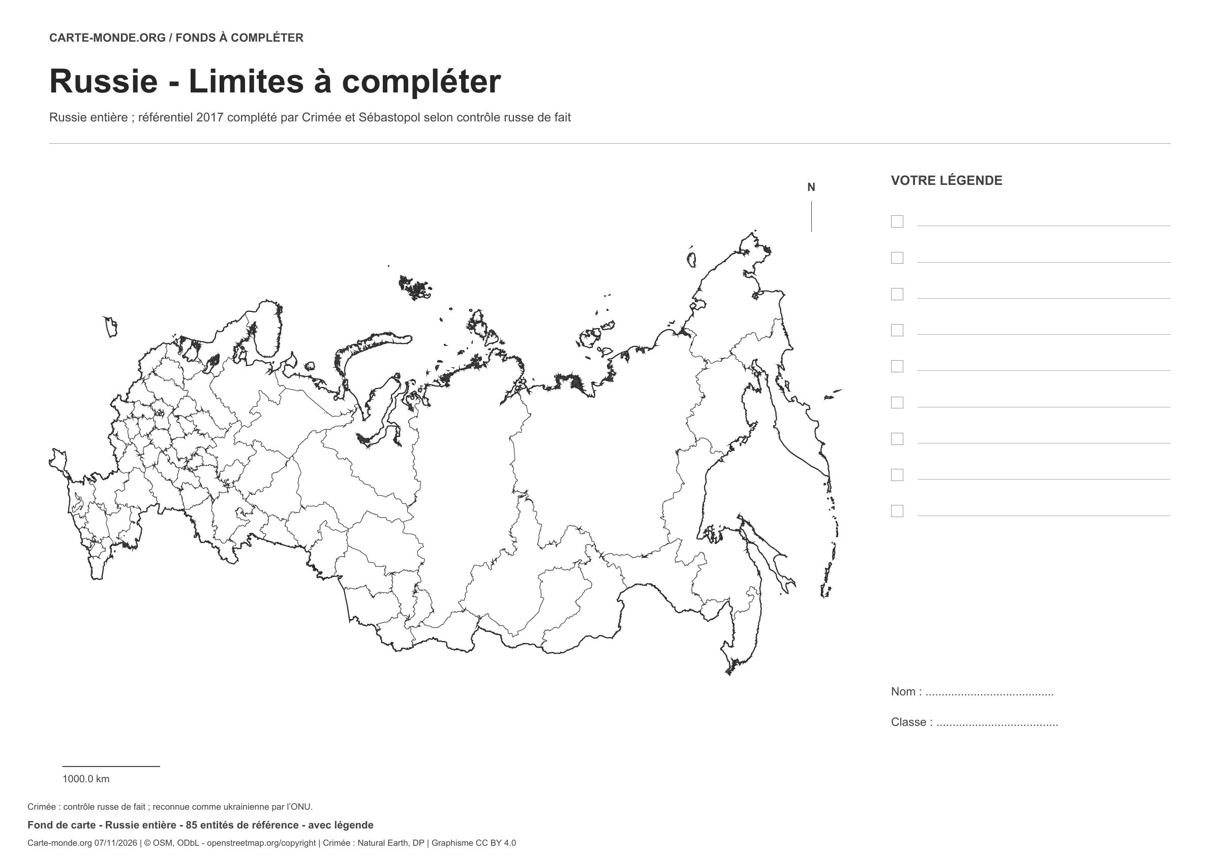
Russia: outline with space for a legend, base map without names

Model 1 · November 2026 edition

Outline with space for a legend

National outline without names or internal boundaries, to complete freely. Space for your key, name and class.

A4 landscape vector PDF · PNG 2 400 px

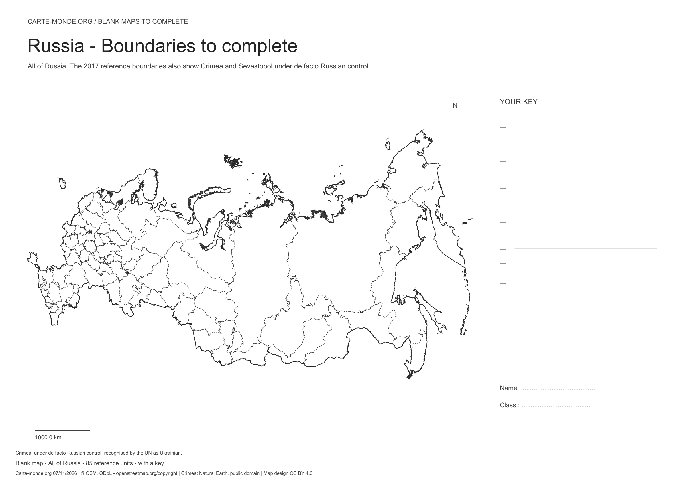
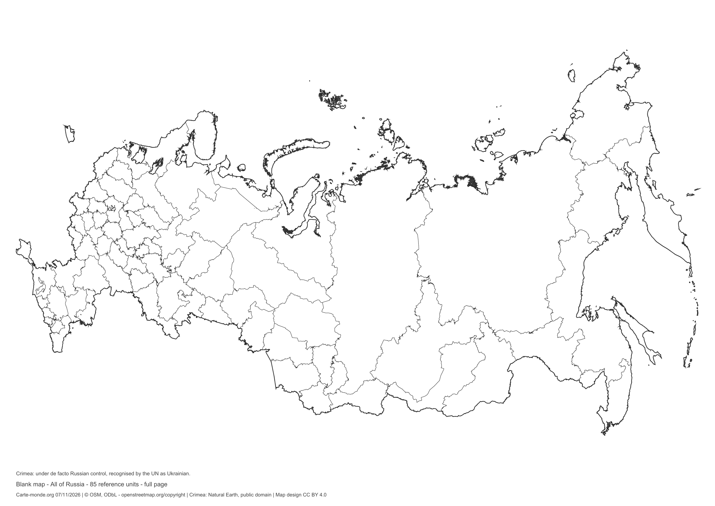
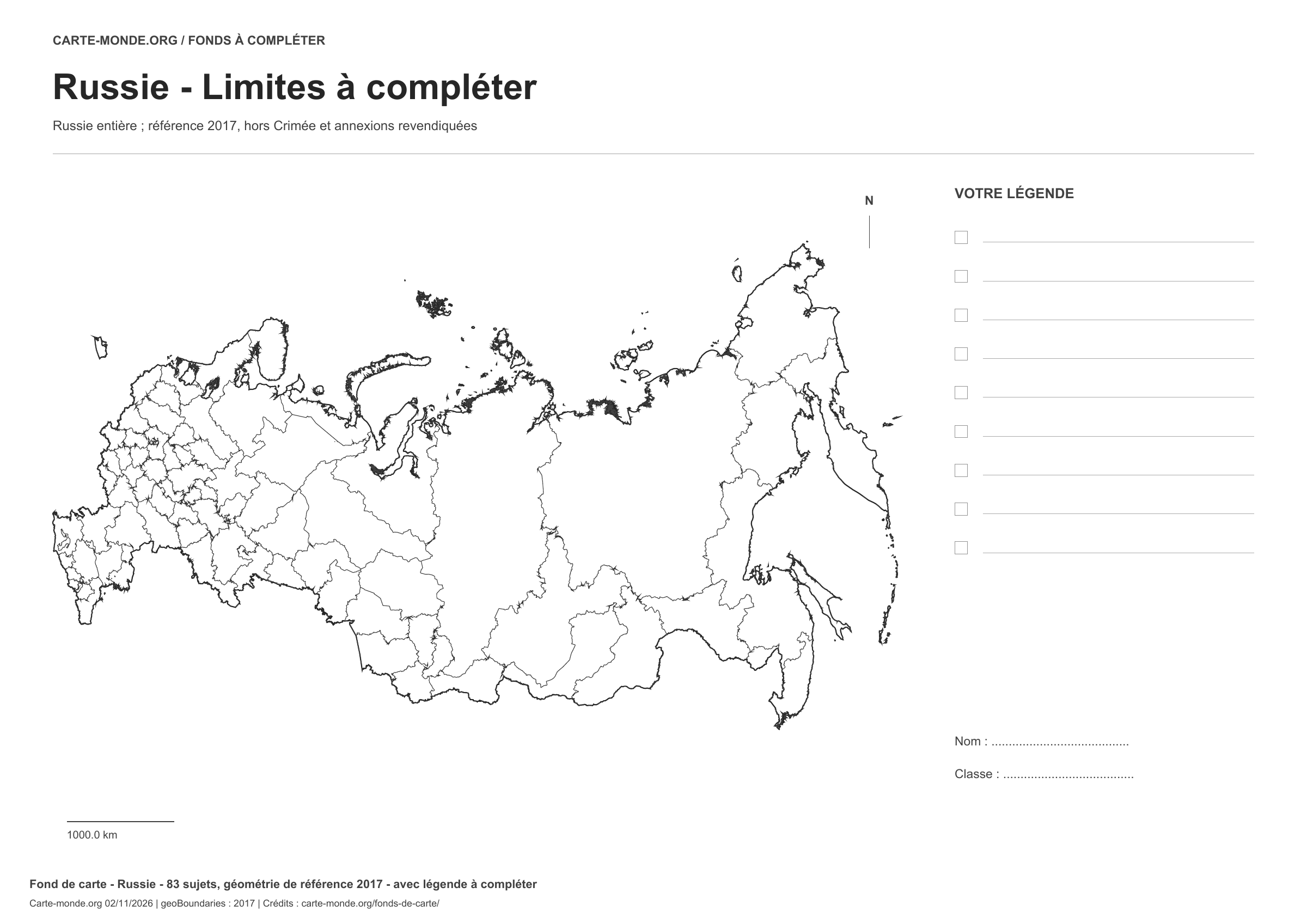
Russia: boundaries with space for a legend, base map without names

Model 2 · November 2026 edition

Boundaries with space for a legend

Divisions shown: 85 entities: 83 reference federal subjects from 2017 and Crimea/Sevastopol under de facto Russian control. Add names and colours. Space for your key, name and class.

A4 landscape vector PDF · PNG 2 400 px

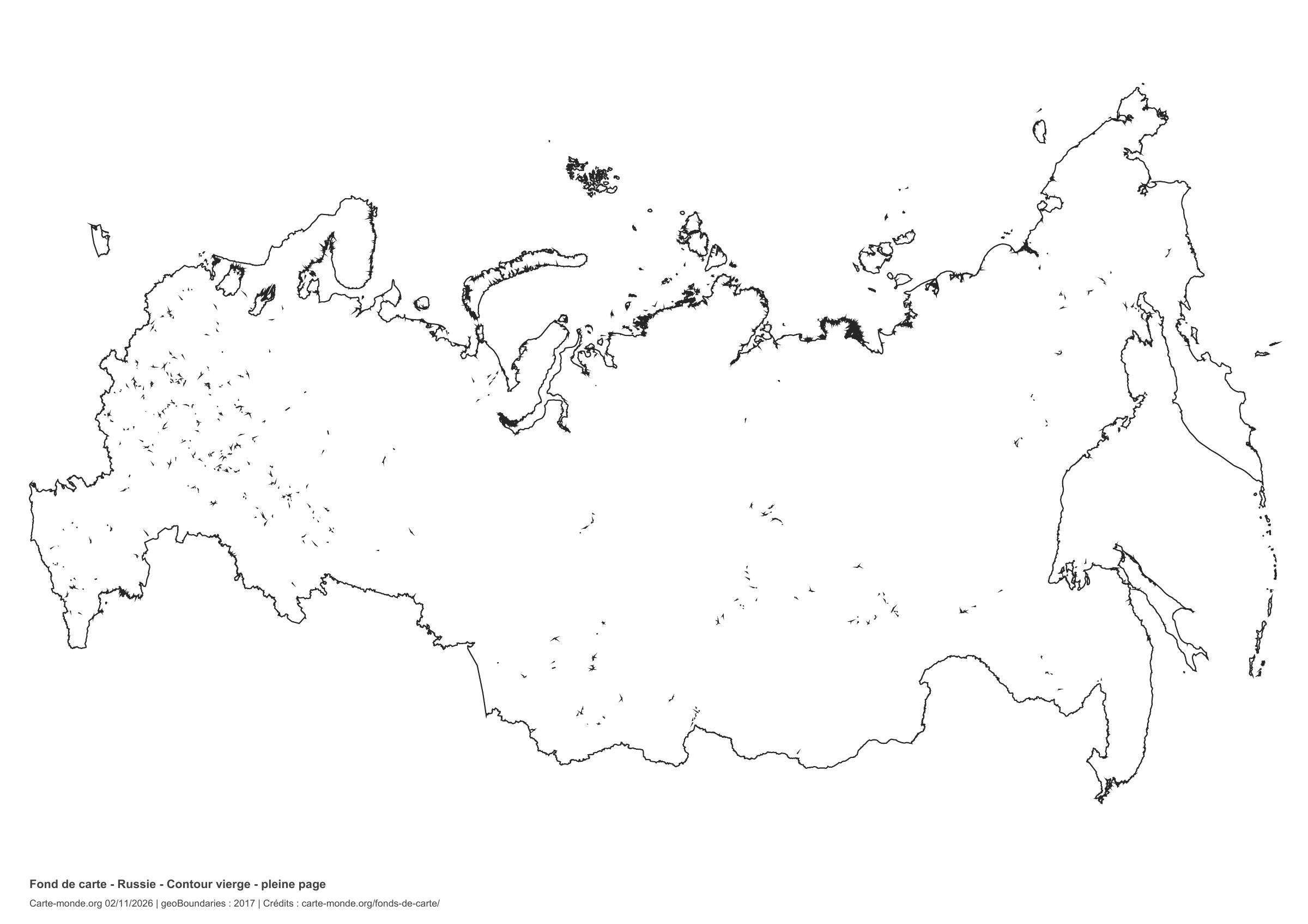
Russia: full-page outline, base map without names

Model 3 · November 2026 edition

Full-page outline

National outline without names or internal boundaries, to complete freely. The map fills almost the entire sheet; only two reference lines appear at the bottom.

A4 landscape vector PDF · PNG 2 400 px

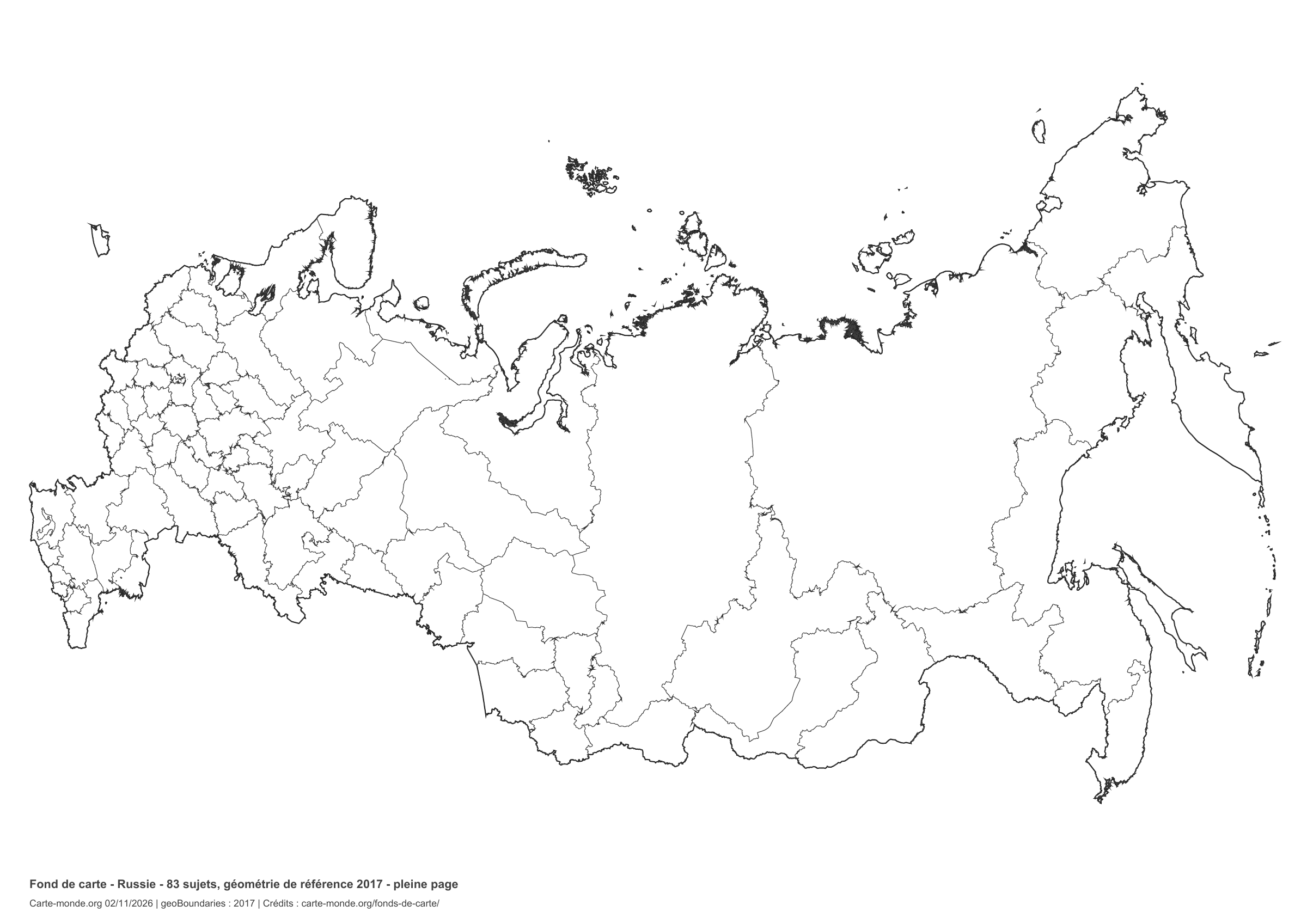
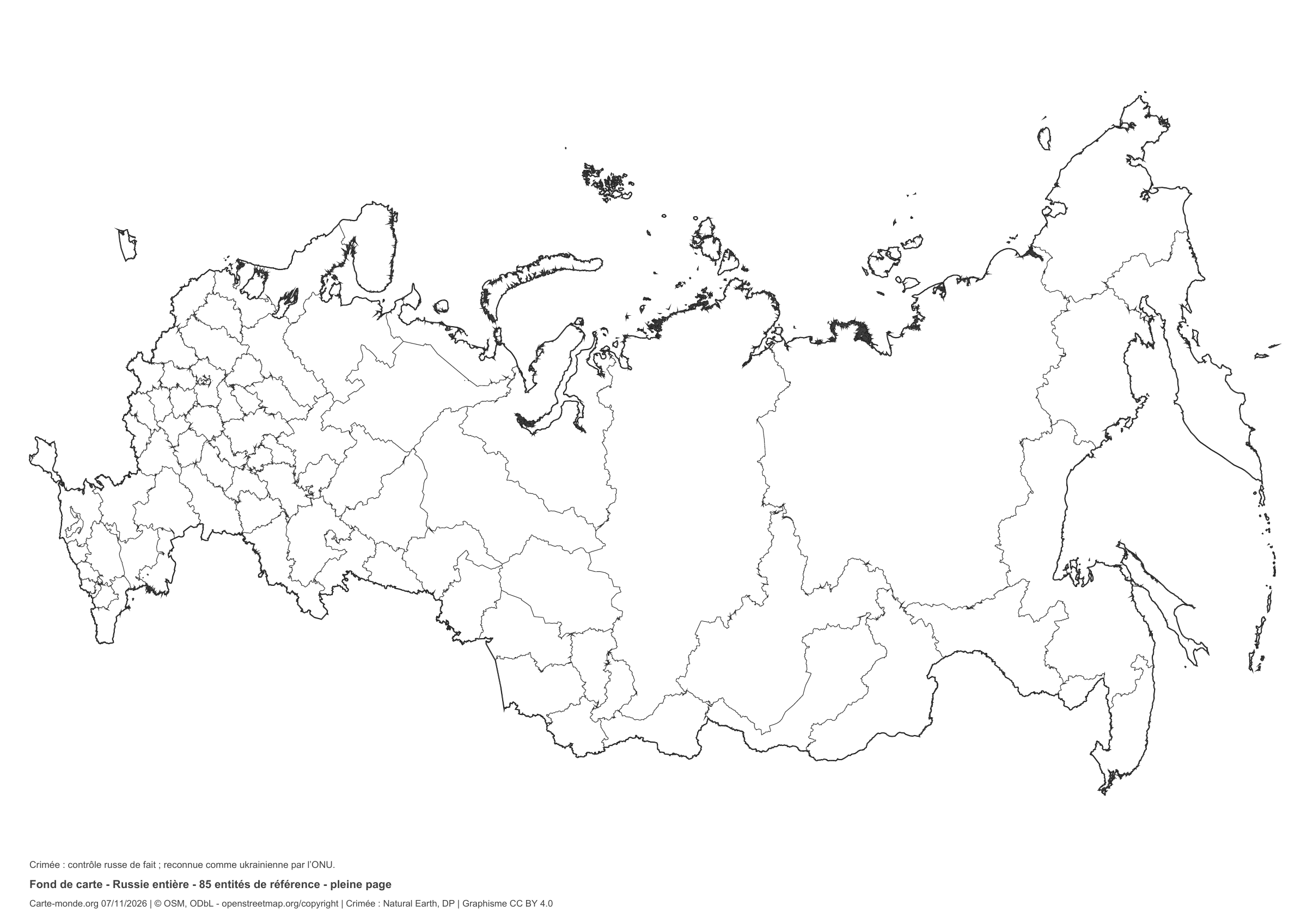
Russia: full-page boundaries, base map without names

Model 4 · November 2026 edition

Full-page boundaries

Divisions shown: 85 entities: 83 reference federal subjects from 2017 and Crimea/Sevastopol under de facto Russian control. Add names and colours. The map fills almost the entire sheet; only two reference lines appear at the bottom.

A4 landscape vector PDF · PNG 2 400 px

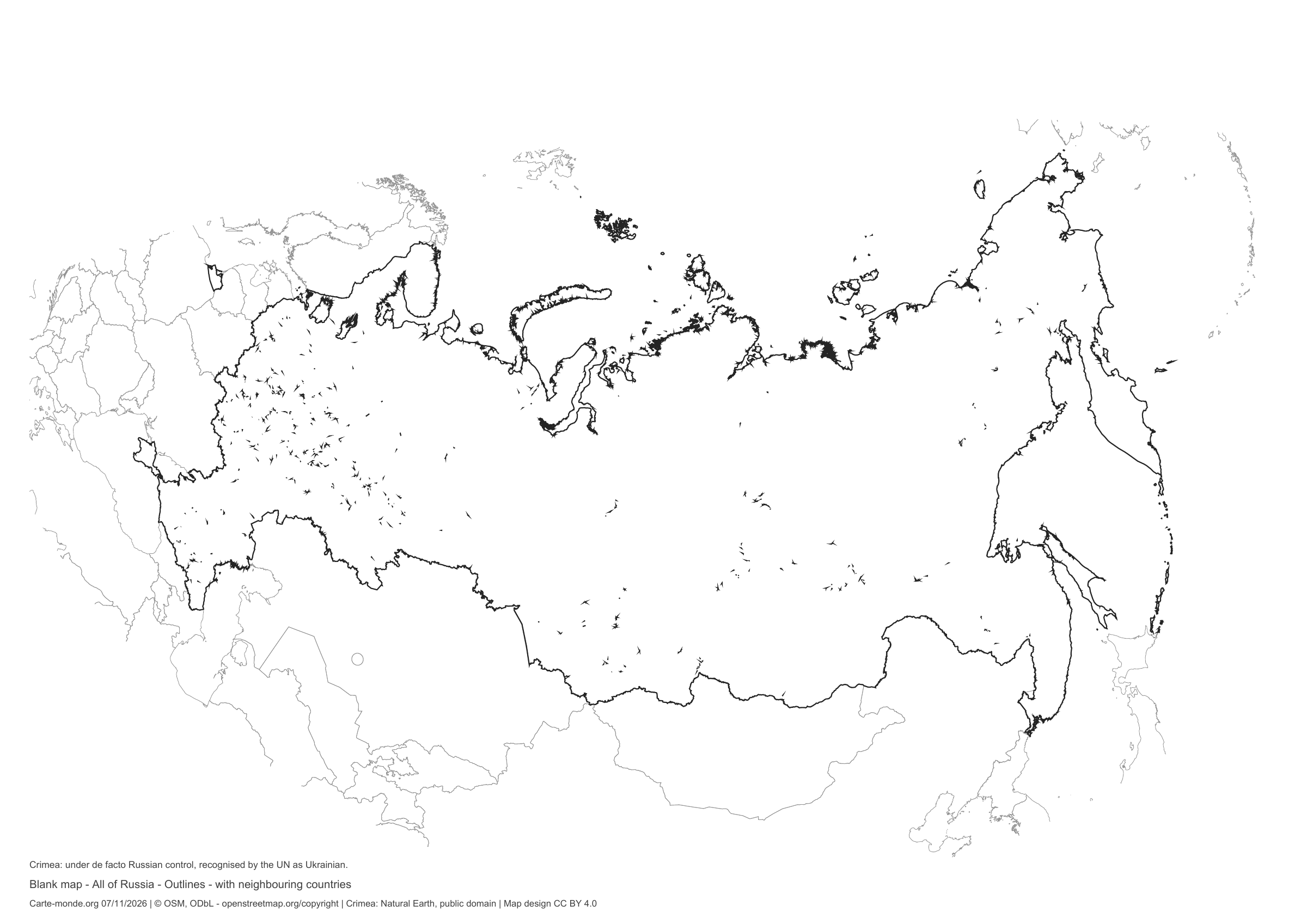
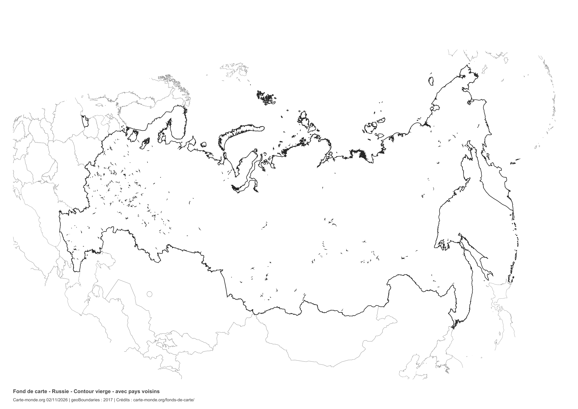
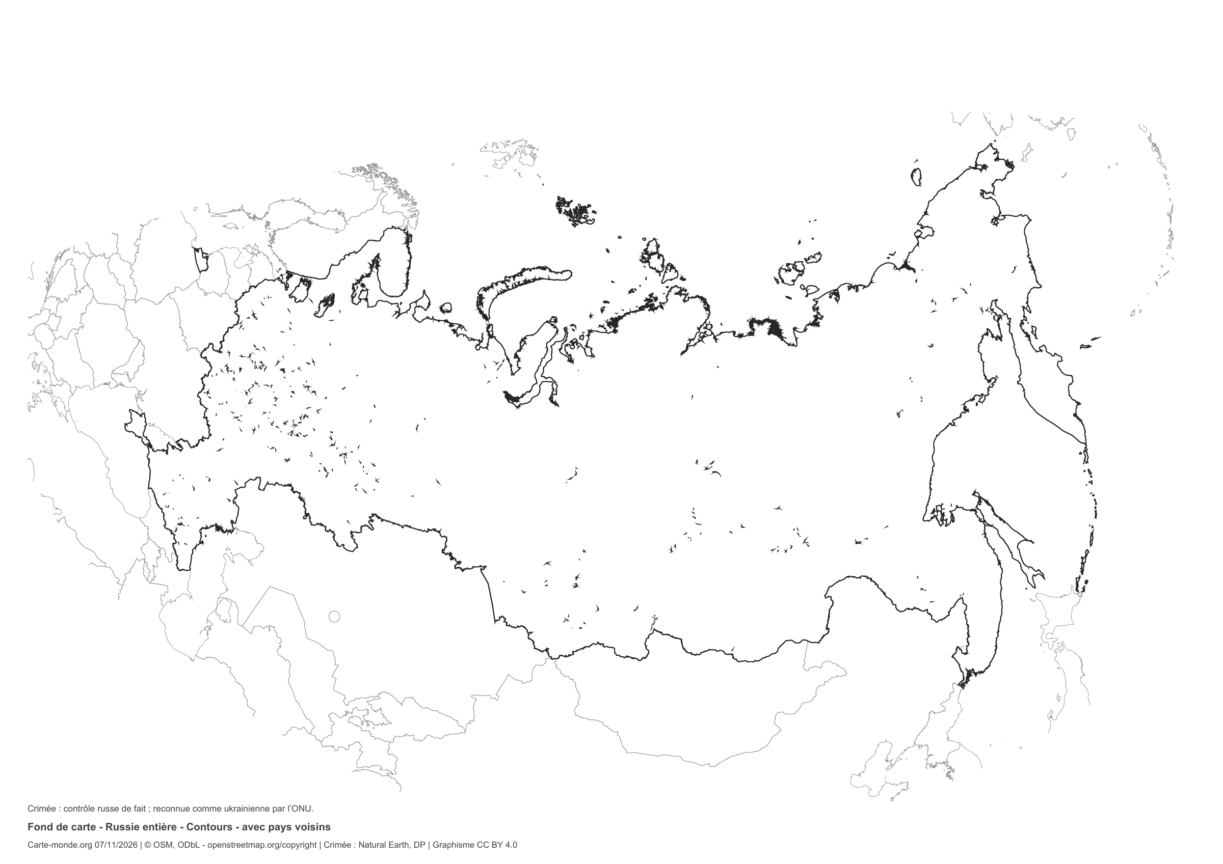
Russia: outline with neighbouring countries, base map without names

Model 5 · November 2026 edition

Outline with neighbouring countries

National outline without names or internal boundaries, to complete freely. Surrounding countries are shown with light outlines, without names or colour fills.

A4 landscape vector PDF · PNG 2 400 px

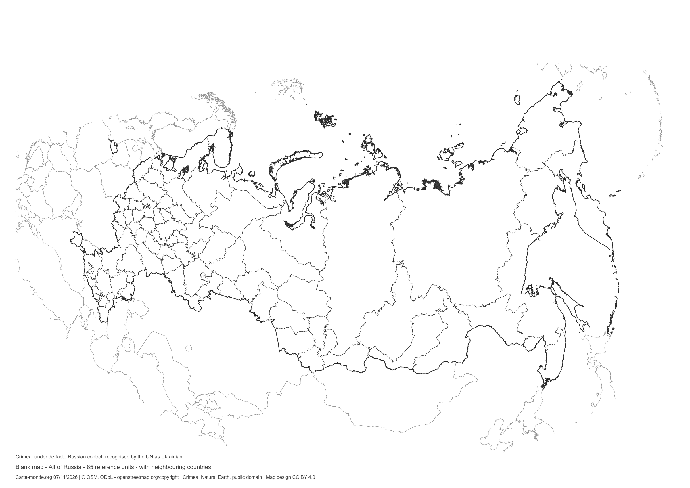
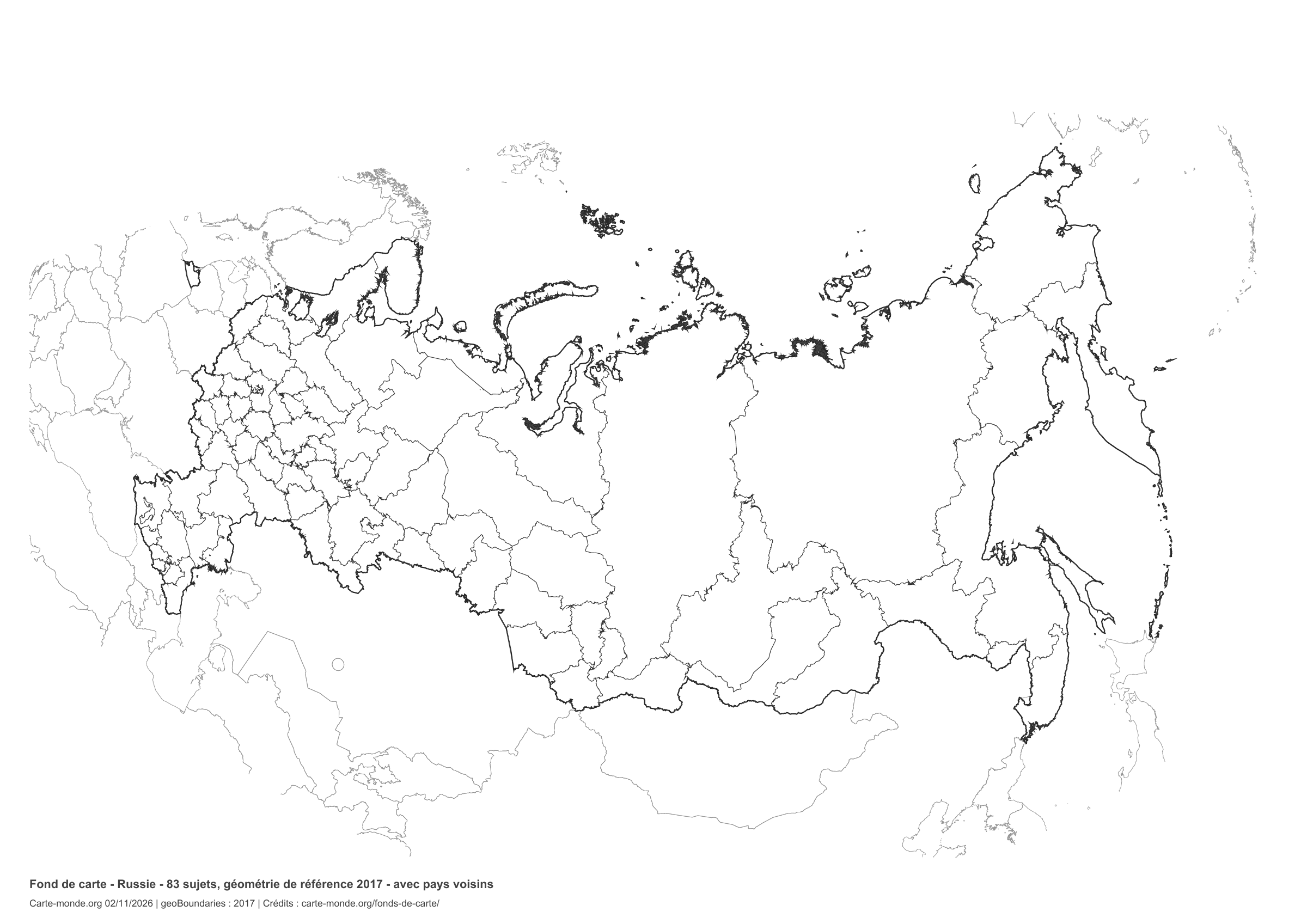
Russia: boundaries with neighbouring countries, base map without names

Model 6 · November 2026 edition

Boundaries with neighbouring countries

Divisions shown: 85 entities: 83 reference federal subjects from 2017 and Crimea/Sevastopol under de facto Russian control. Add names and colors. The outlines of surrounding countries appear as light lines, without names or color fills.

A4 landscape vector PDF · PNG 2 400 px

The six-base-map pack

The six templates in PDF, PNG and editable SVG, with credits and reuse terms.

Download the six base maps — ZIP

Which base map should I choose?

The outline is suitable for freehand sketches: add a capital, cities or rivers. The version with boundaries lets you color or name the units shown in the divisions. Full-page versions enlarge the country and save ink. The last two maps add neighboring countries for location exercises.

Geographical names are deliberately omitted. Any inset titles indicate only their coverage and individual scales.

Maps of Russia: labelled maps and original collection.

Download and print

  1. Open the PDF for a sharp printout; choose the PNG for a document or presentation.
  2. Print on an A4 sheet using the file’s orientation. Use “Fit to page” if your printer requires it.
  3. Any insets use different scales from the main map. Retain the source notes at the bottom of the sheet.

To edit the outlines, open the pack’s SVG in a vector editor. These generalised maps are intended for exercises and presentations.

Sources and reuse

Geometries: geoBoundaries gbOpen, 2017. Primary source: OpenStreetMap, Wambacher. Licence stated in the metadata: Open Data Commons Open Database License 1.0. View the source metadata.

Neighbouring country outlines: Natural Earth 5.1.1, public domain. Layout by Carte-monde.org, 2 November 2026 edition, under CC BY 4.0. The data retain their attributions and licences; consult the ZIP notes before reuse.

Example credit: Carte-monde.org, edition dated 2 November 2026 — geoBoundaries / OpenStreetMap, Wambacher.

Continue exploring

Maps of Russia · Maps of European countries · Other maps and archives

Maps and packs from the previous edition

Files preserved at their original addresses, with their earlier cartographic convention.

Original French files

Printable base maps of San Marino

SAN MARINO · MAPS TO COMPLETE

Download a blank map of San Marino to add names, prepare a sketch map or colour territories. Six black-and-white versions are available: outlines and boundaries, with space for a key, full-page or with neighbouring countries. Each map is available as an A4 PDF and PNG.

Our six blank maps have English labels.

Six base maps of San Marino to complete

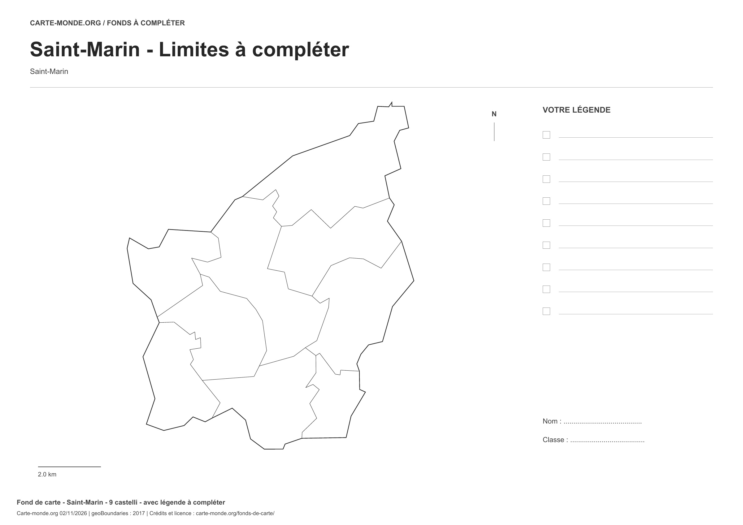
Coverage: San Marino. Divisions: 9 castelli.

Geographic reference year: 2017. The files’ edition date does not mean that all boundaries have been updated.

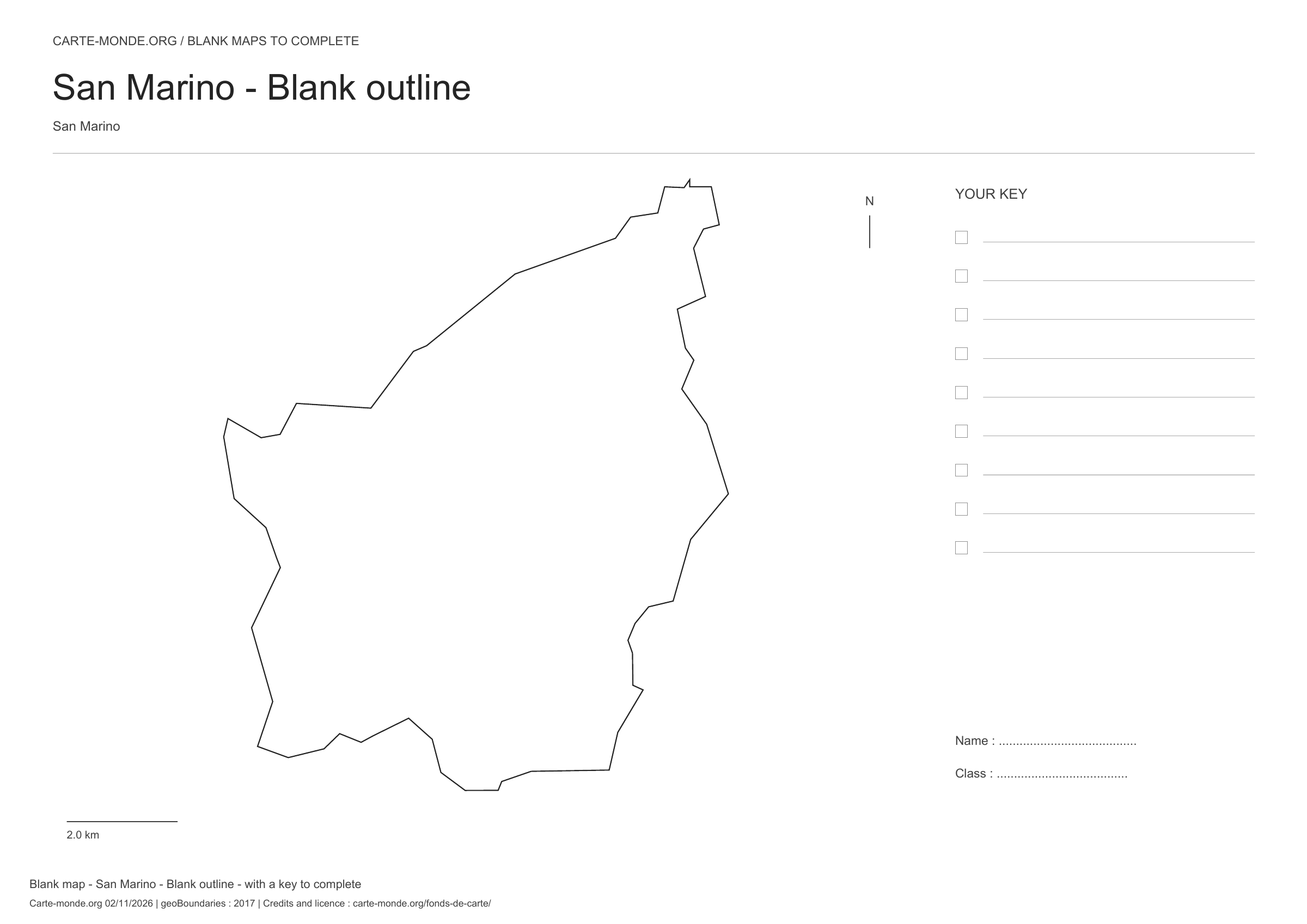
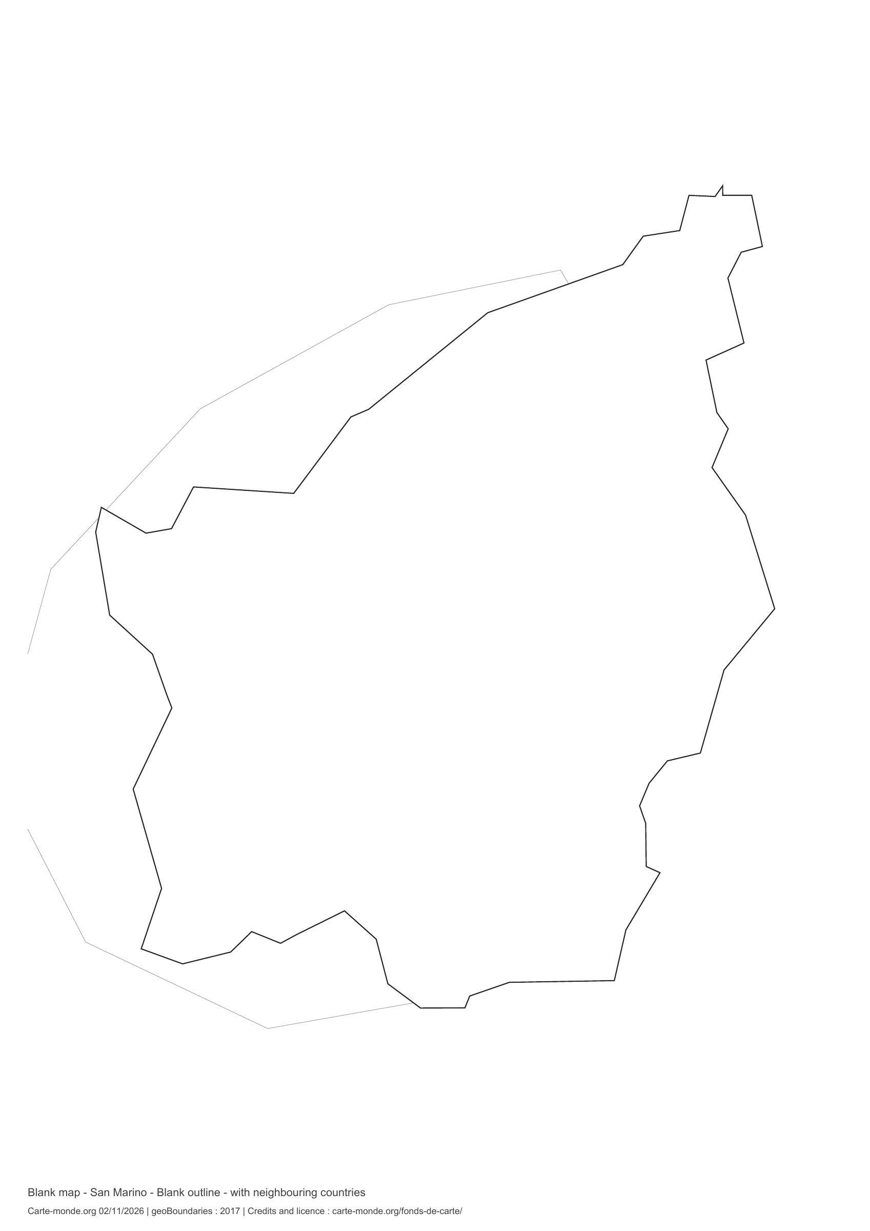
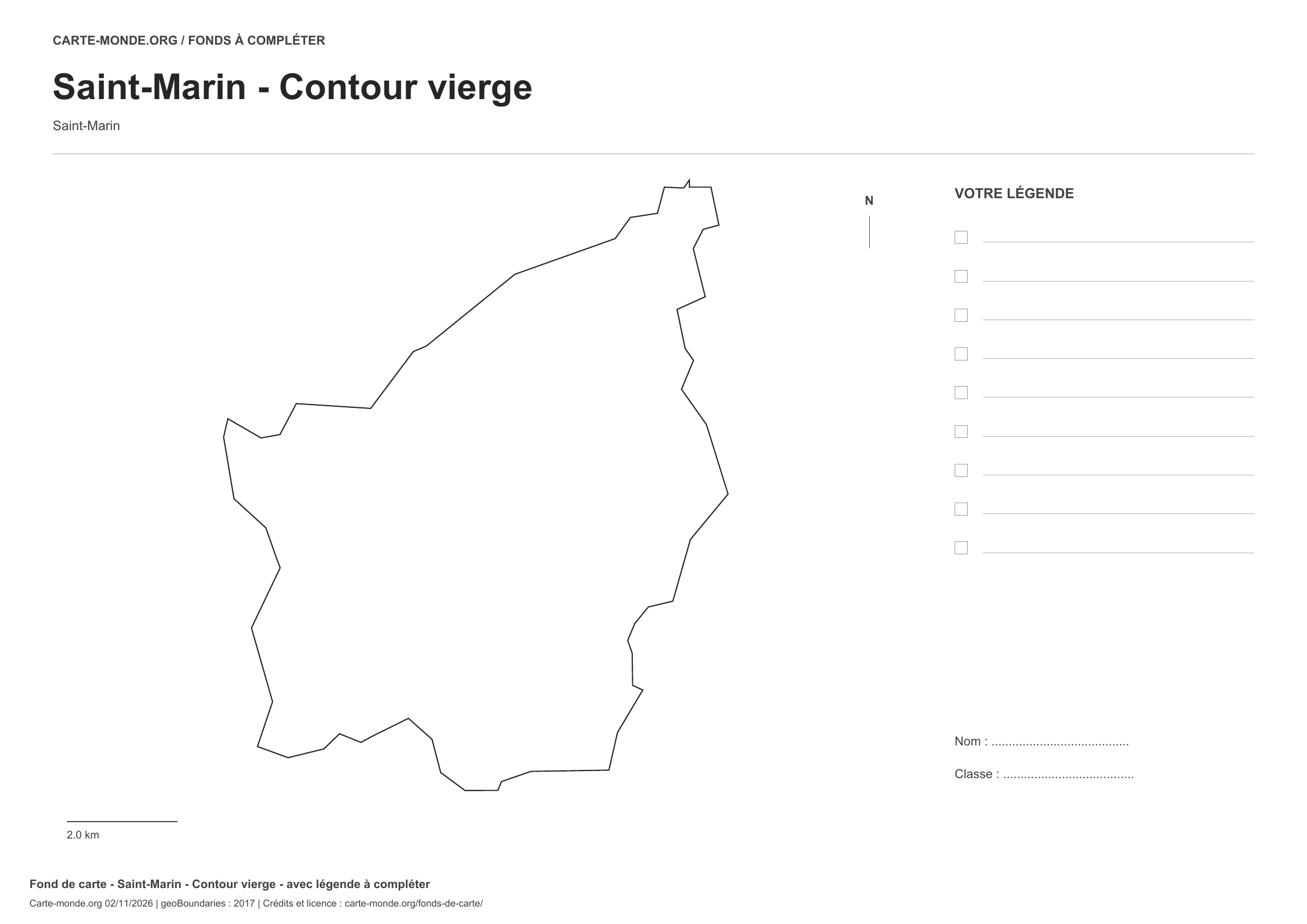
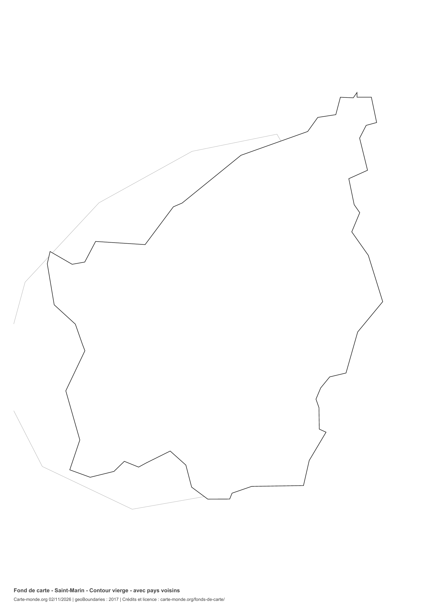
San Marino: outline with space for a legend, base map without names

Model 1 · November 2026 edition

Outline with space for a legend

National outline without names or internal boundaries, to complete freely. Space for your key, name and class.

A4 landscape vector PDF · PNG 2 400 px

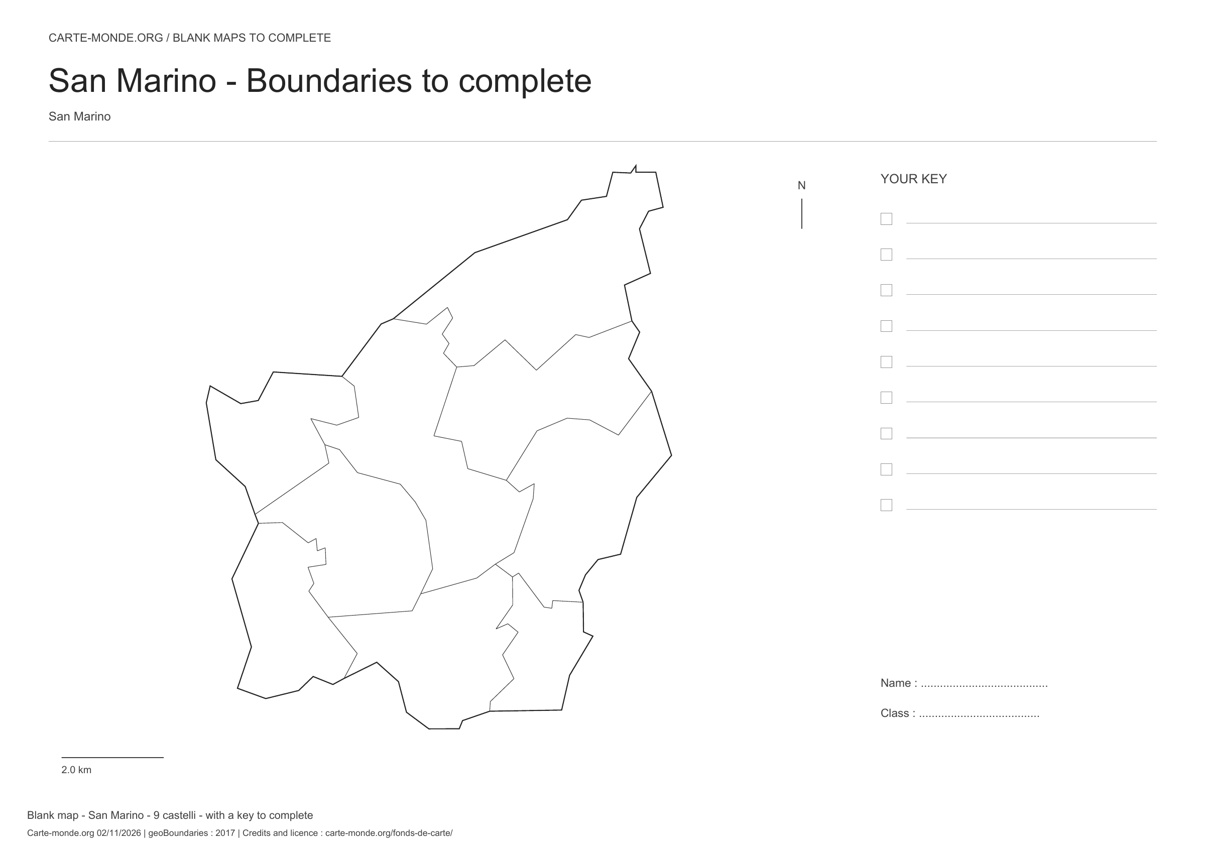
San Marino: boundaries with space for a legend, base map without names

Model 2 · November 2026 edition

Boundaries with space for a legend

Divisions shown: 9 castelli. Add names and colours. Space for your key, name and class.

A4 landscape vector PDF · PNG 2 400 px

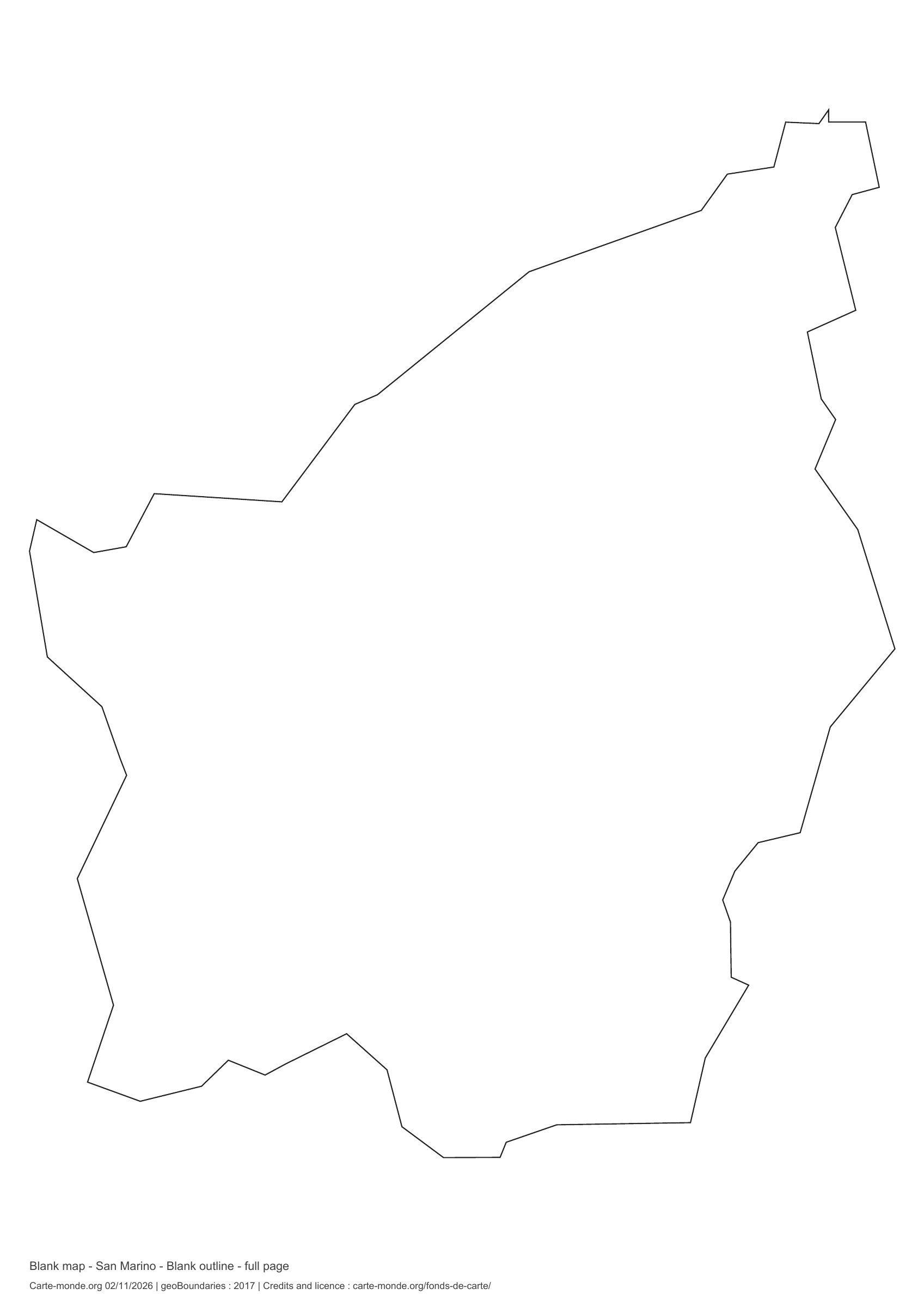
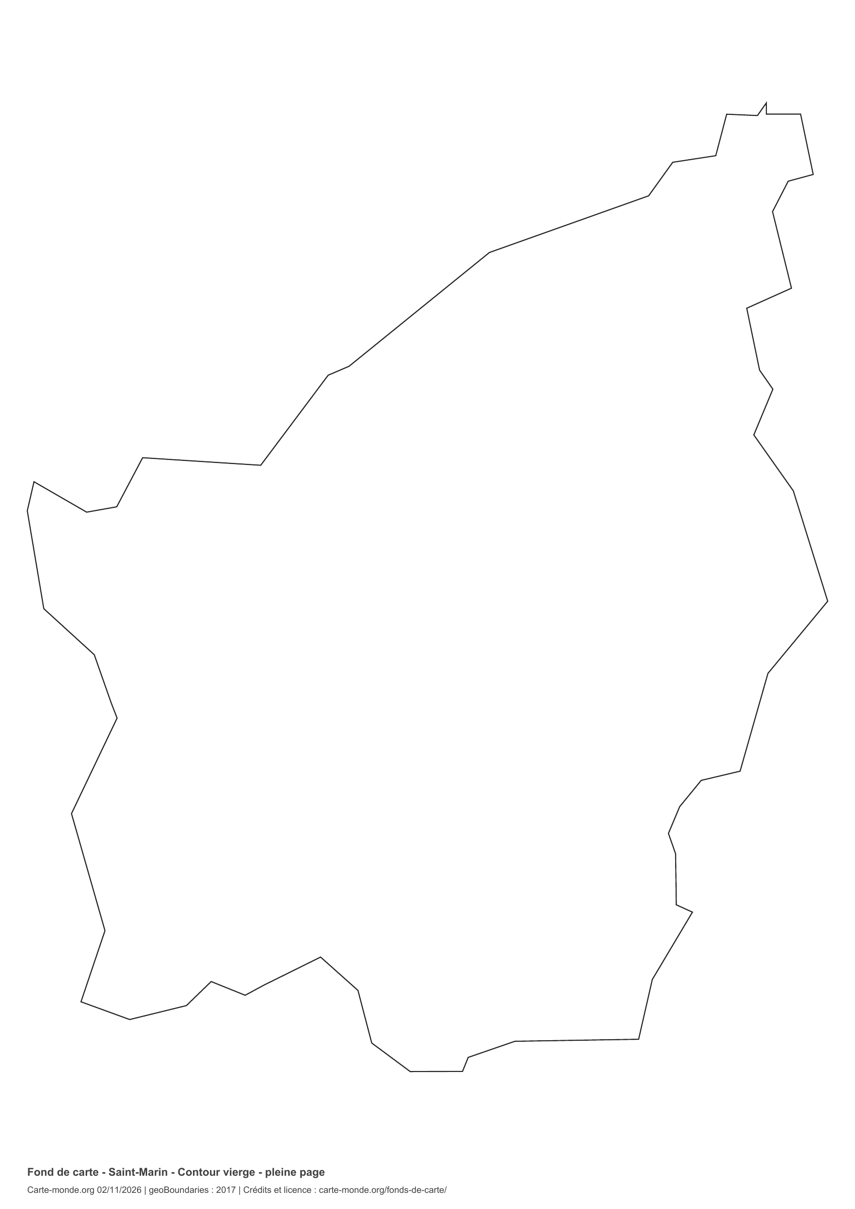
San Marino: full-page outline, base map without names

Model 3 · November 2026 edition

Full-page outline

National outline without names or internal boundaries, to complete freely. The map fills almost the entire sheet; only two reference lines appear at the bottom.

A4 portrait vector PDF · PNG 2 400 px

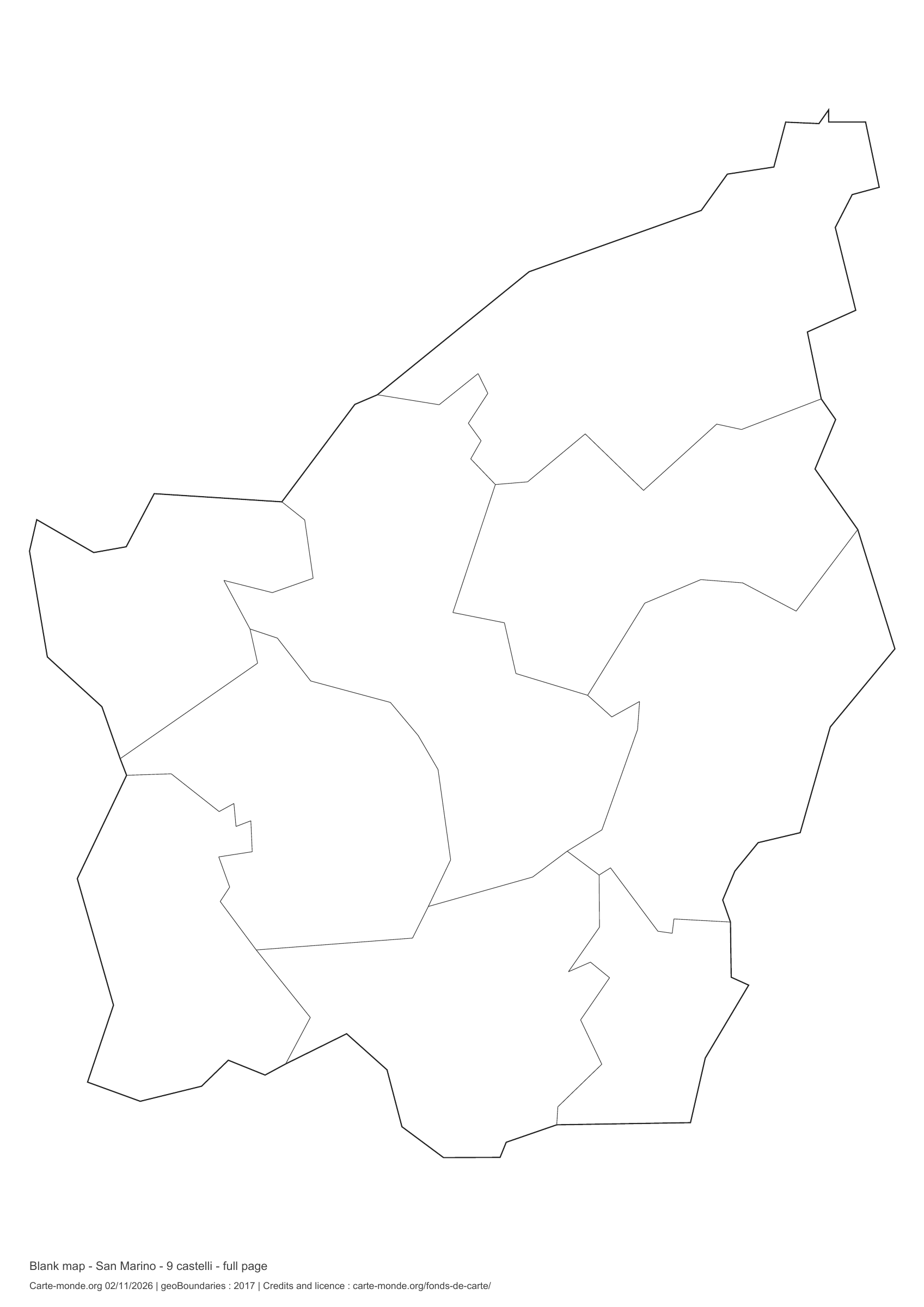
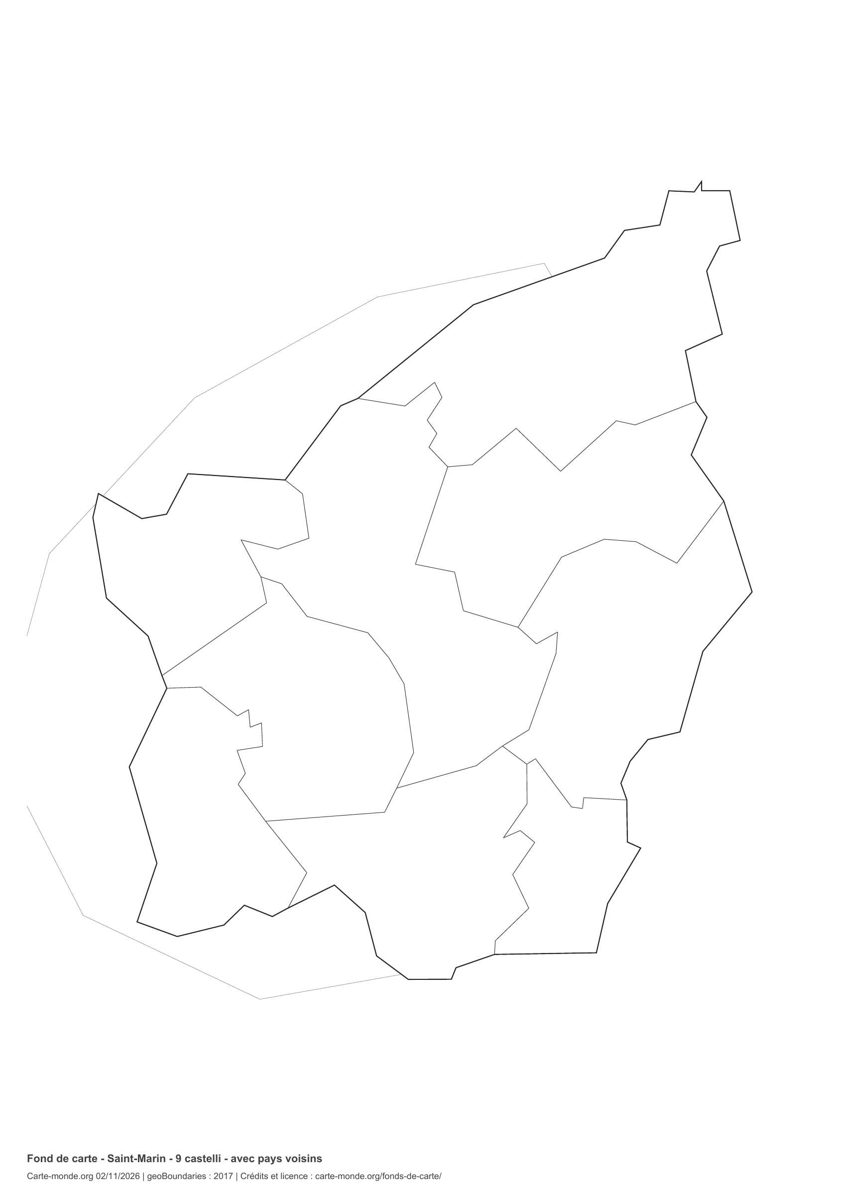
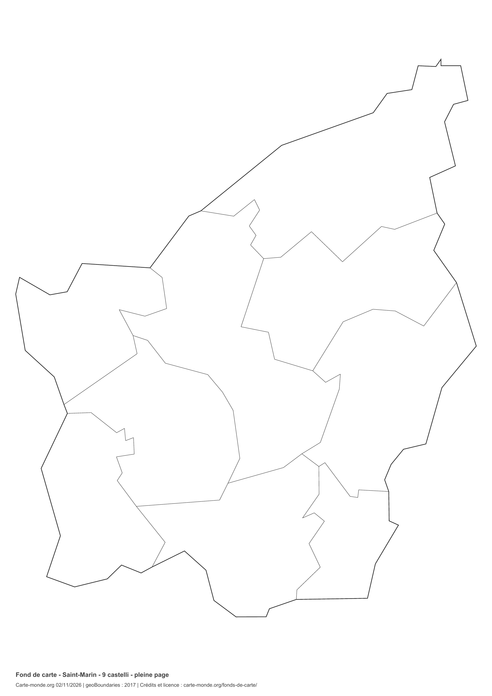
San Marino: full-page boundaries, base map without names

Model 4 · November 2026 edition

Full-page boundaries

Divisions shown: 9 castelli. Add names and colours. The map fills almost the entire sheet; only two reference lines appear at the bottom.

A4 portrait vector PDF · PNG 2 400 px

San Marino: outline with neighbouring countries, base map without names

Model 5 · November 2026 edition

Outline with neighbouring countries

National outline without names or internal boundaries, to complete freely. Surrounding countries are shown with light outlines, without names or colour fills.

A4 portrait vector PDF · PNG 2 400 px

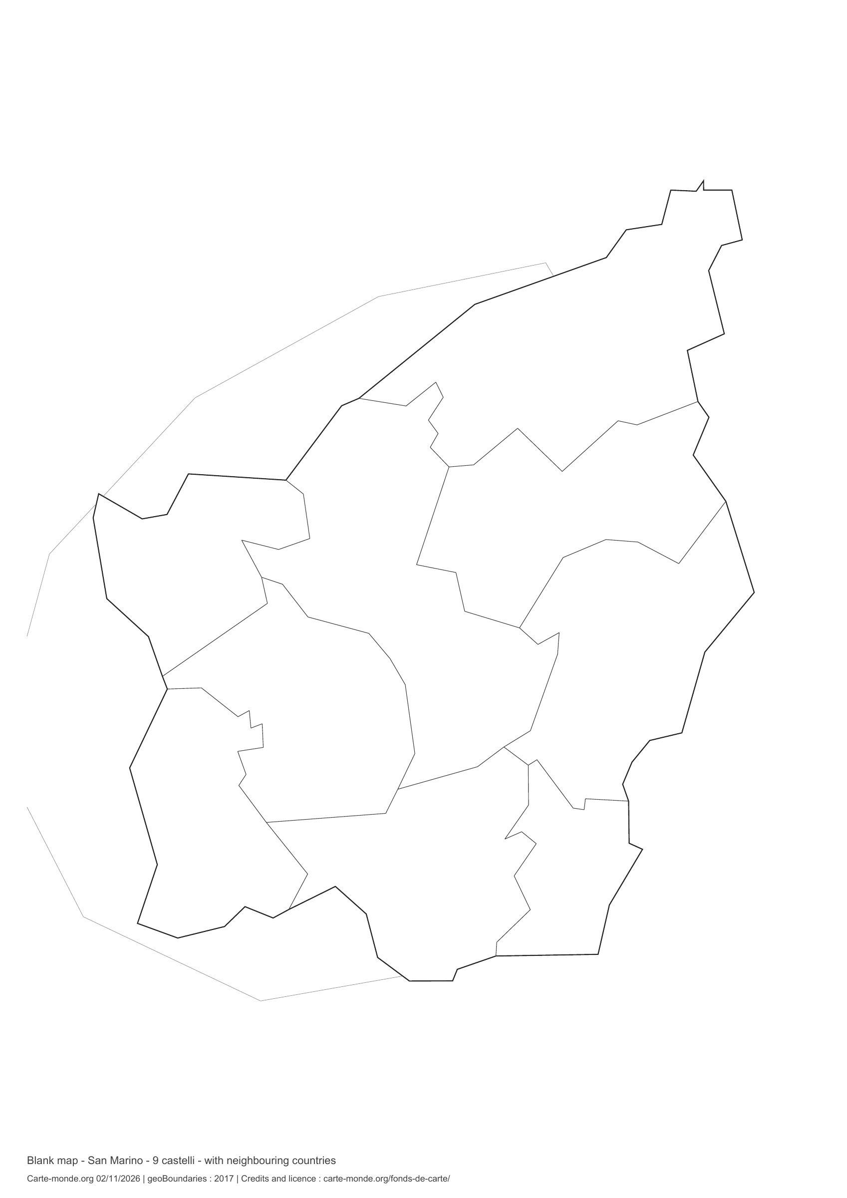
San Marino: boundaries with neighbouring countries, base map without names

Model 6 · November 2026 edition

Boundaries with neighbouring countries

Divisions shown: 9 castelli. Add names and colours. Surrounding countries are shown with light outlines, without names or colour fills.

A4 portrait vector PDF · PNG 2 400 px

The six-base-map pack

The six templates in PDF, PNG and editable SVG, with credits and reuse terms.

Download the six base maps — ZIP

Which base map should I choose?

The outline is suitable for freehand sketches: add a capital, cities or rivers. The version with boundaries lets you color or name the units shown in the divisions. Full-page versions enlarge the country and save ink. The last two maps add neighboring countries for location exercises.

Geographical names are deliberately omitted. Any inset titles indicate only their coverage and individual scales.

Maps of San Marino: labelled maps and original collection.

Download and print

  1. Open the PDF for a sharp printout; choose the PNG for a document or presentation.
  2. Print on an A4 sheet using the file’s orientation. Use “Fit to page” if your printer requires it.
  3. Any insets use different scales from the main map. Retain the source notes at the bottom of the sheet.

To edit the outlines, open the pack’s SVG in a vector editor. These generalised maps are intended for exercises and presentations.

Sources and reuse

Geometries: geoBoundaries gbOpen, 2017. Primary source: OpenStreetMap, Wambacher. Licence stated in the metadata: Open Data Commons Open Database License 1.0. View the source metadata.

Neighbouring country outlines: Natural Earth 5.1.1, public domain. Layout by Carte-monde.org, 2 November 2026 edition, under CC BY 4.0. The data retain their attributions and licences; consult the ZIP notes before reuse.

Example credit: Carte-monde.org, edition dated 2 November 2026 — geoBoundaries / OpenStreetMap, Wambacher.

Continue exploring

Maps of San Marino · Maps of European countries · Other maps and archives

Original French files

Printable base maps of Serbia

SERBIA · MAPS TO COMPLETE

Download a blank map of Serbia to add names, prepare a sketch map or colour territories. Six black-and-white versions are available: outlines and boundaries, with space for a key, full-page or with neighbouring countries. Each map is available as an A4 PDF and PNG.

Our six blank maps have English labels.

Six base maps of Serbia to complete

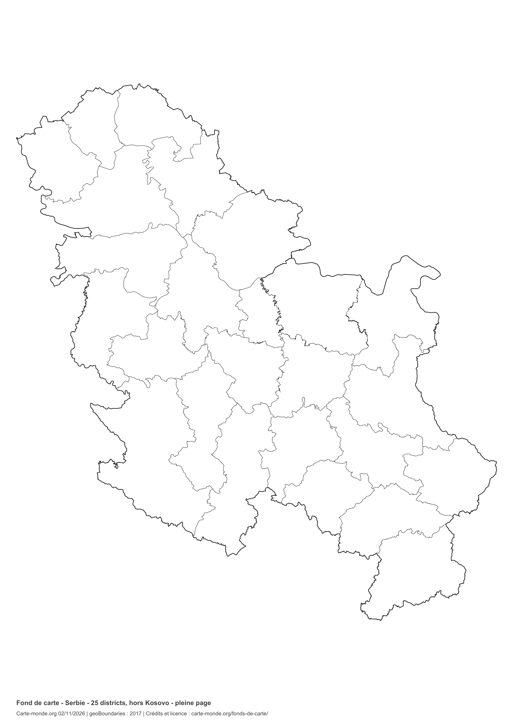
Coverage: Serbia, excluding Kosovo, according to the source’s coverage. Divisions: 25 districts, excluding Kosovo.

Geographic reference year: 2017. The files’ edition date does not mean that all boundaries have been updated.

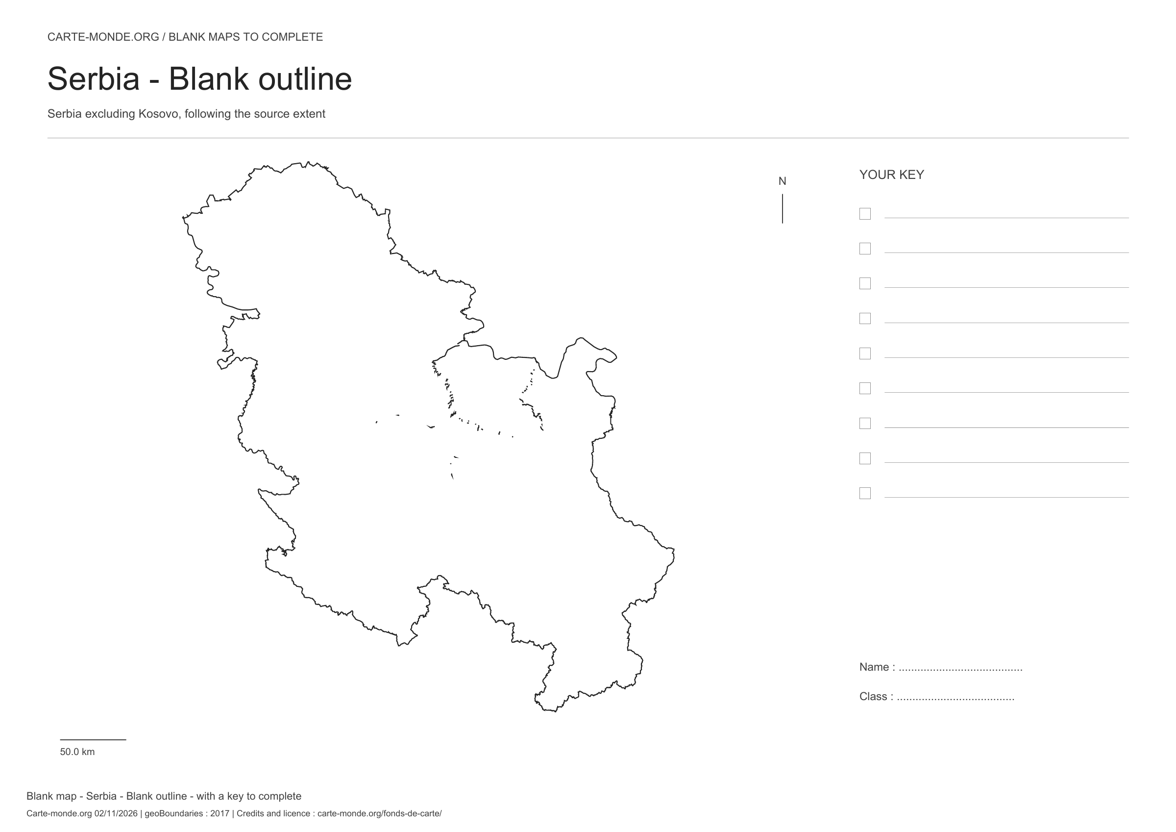
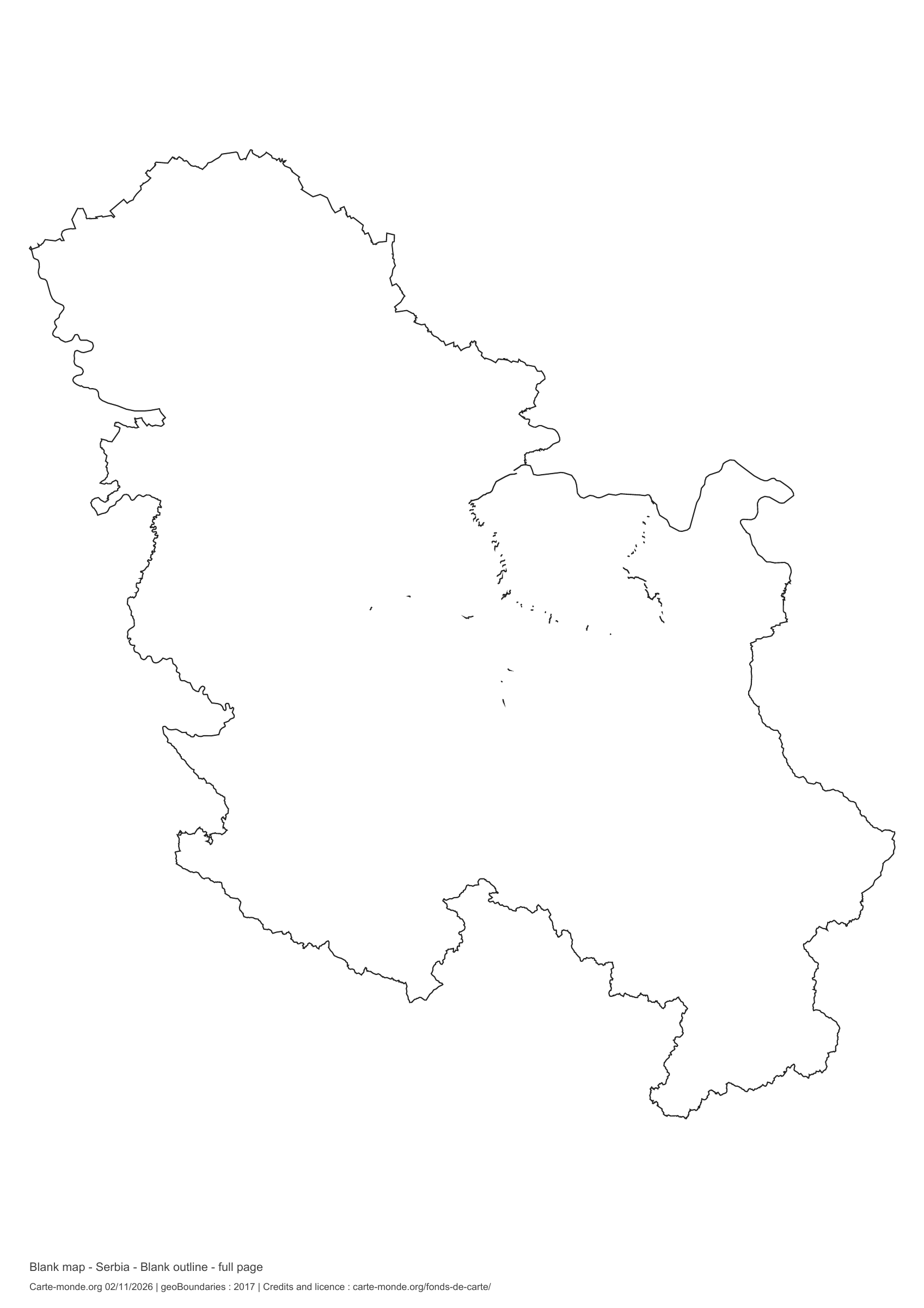
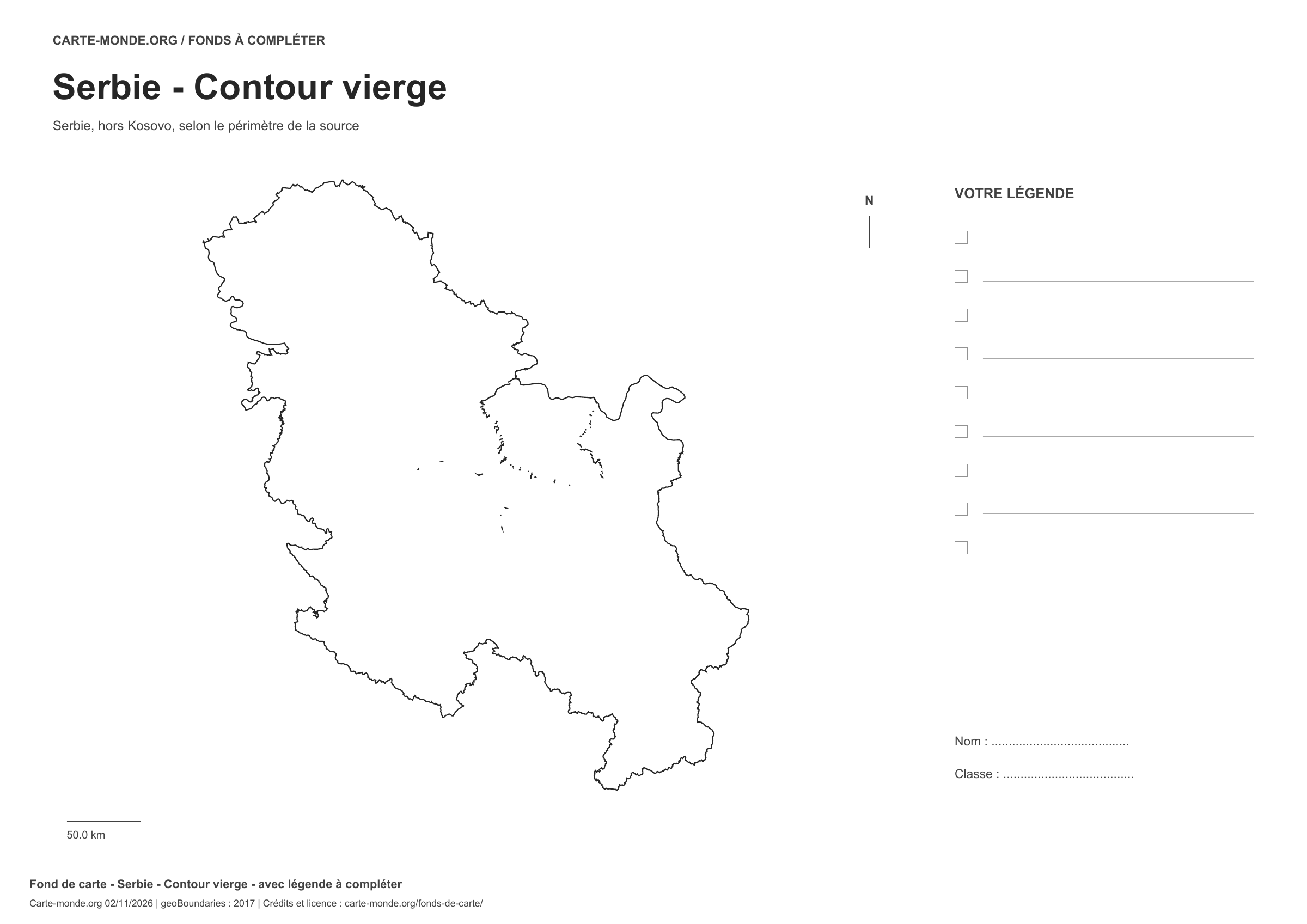
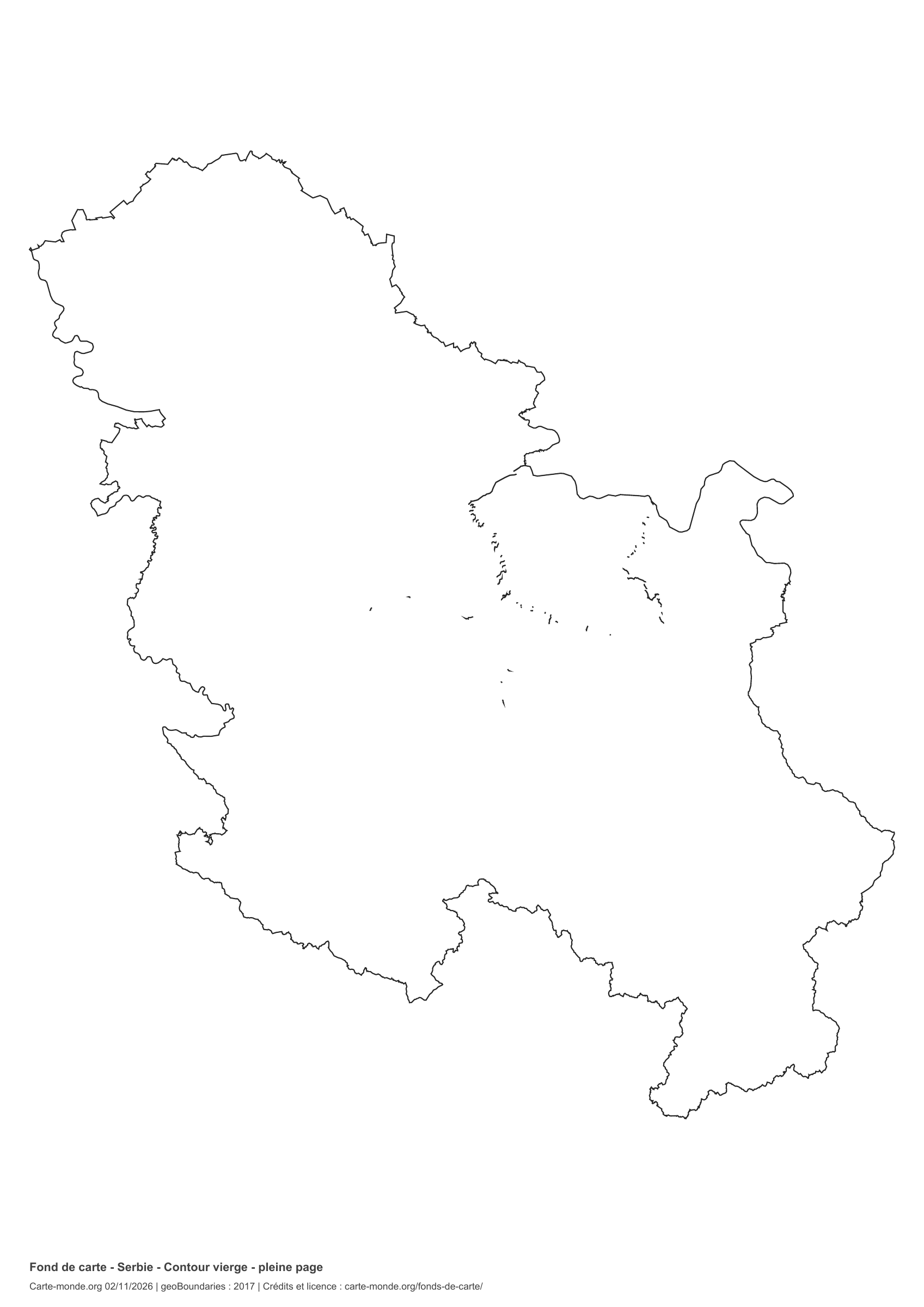
Serbia: outline with space for a legend, base map without names

Model 1 · November 2026 edition

Outline with space for a legend

National outline without names or internal boundaries, to complete freely. Space for your key, name and class.

A4 landscape vector PDF · PNG 2 400 px

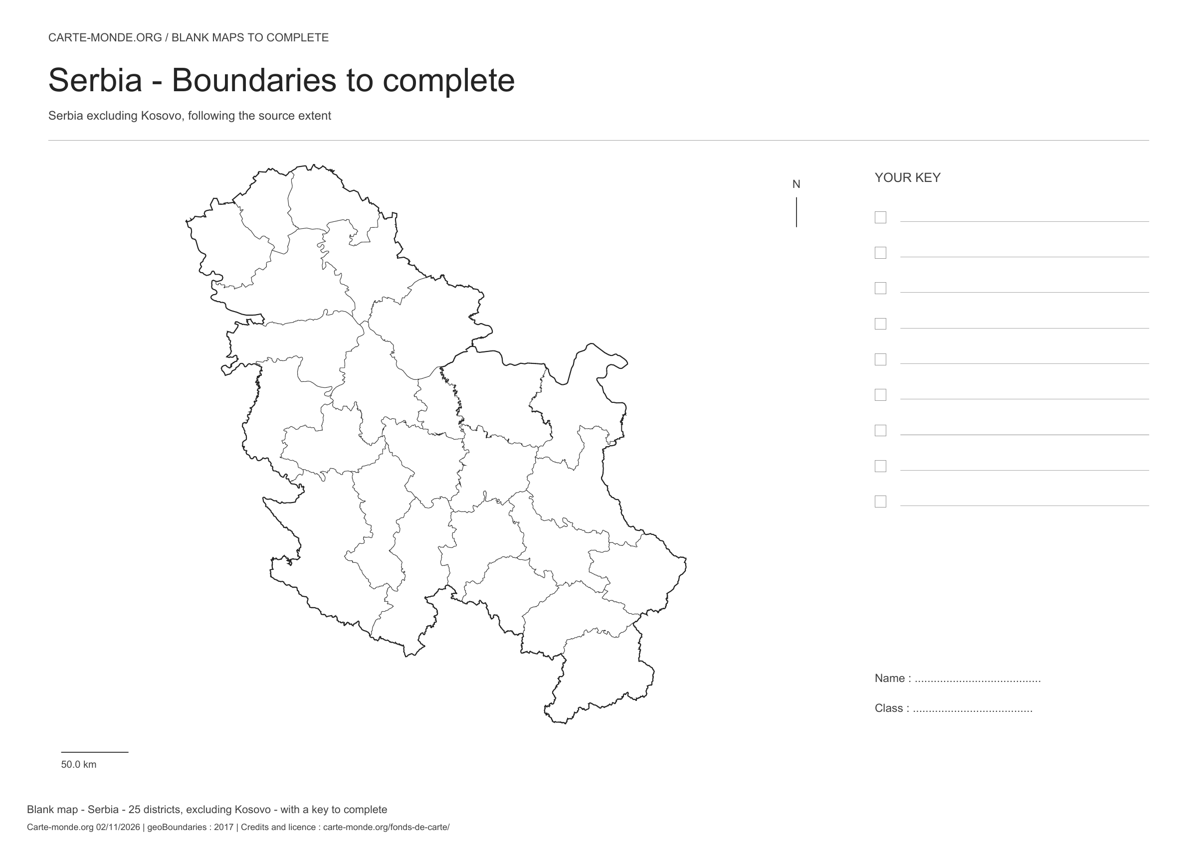
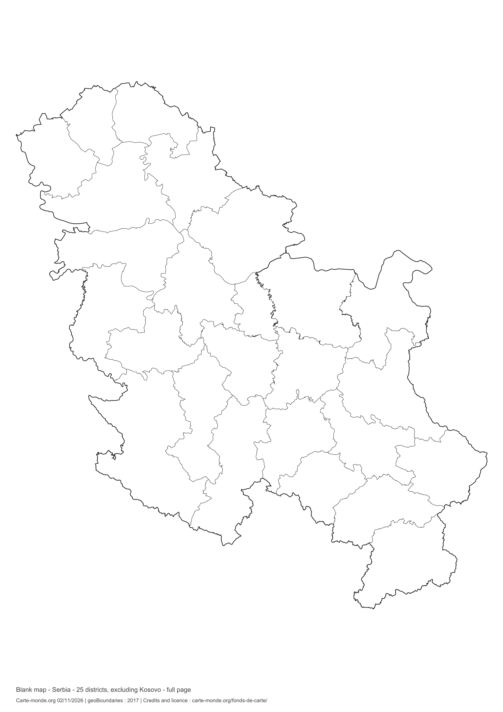
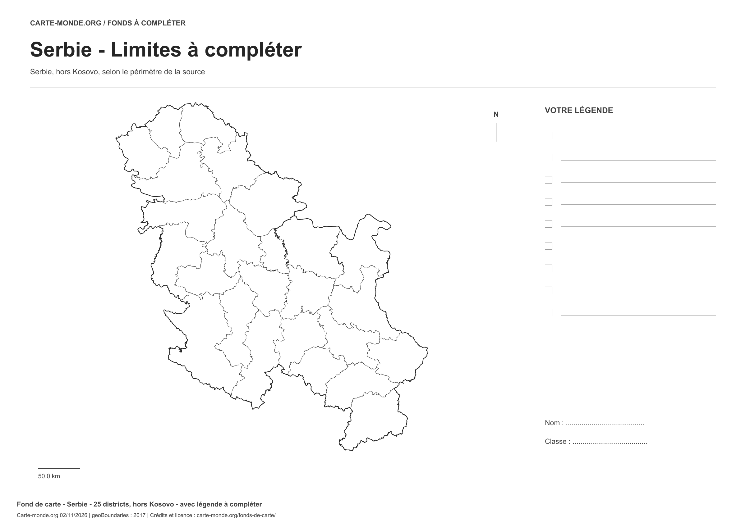
Serbia: boundaries with space for a legend, base map without names

Model 2 · November 2026 edition

Boundaries with space for a legend

Divisions shown: 25 districts, excluding Kosovo. Add names and colors. Space for your legend, name and class.

A4 landscape vector PDF · PNG 2 400 px

Serbia: full-page outline, base map without names

Model 3 · November 2026 edition

Full-page outline

National outline without names or internal boundaries, to complete freely. The map fills almost the entire sheet; only two reference lines appear at the bottom.

A4 portrait vector PDF · PNG 2 400 px

Serbia: full-page boundaries, base map without names

Model 4 · November 2026 edition

Full-page boundaries

Divisions shown: 25 districts, excluding Kosovo. Add names and colours. The map covers almost the entire sheet; only two reference lines appear at the bottom.

A4 portrait vector PDF · PNG 2 400 px

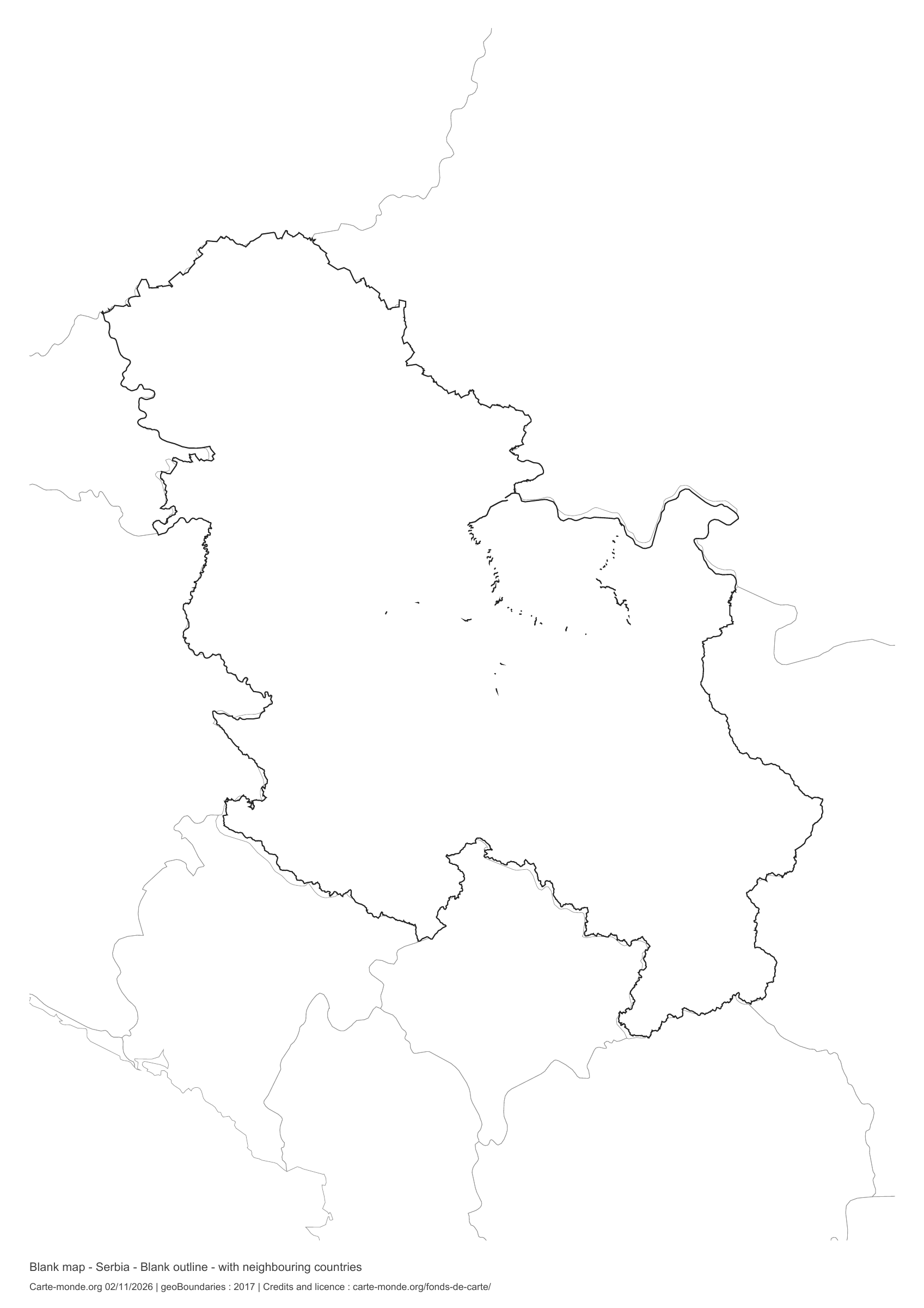
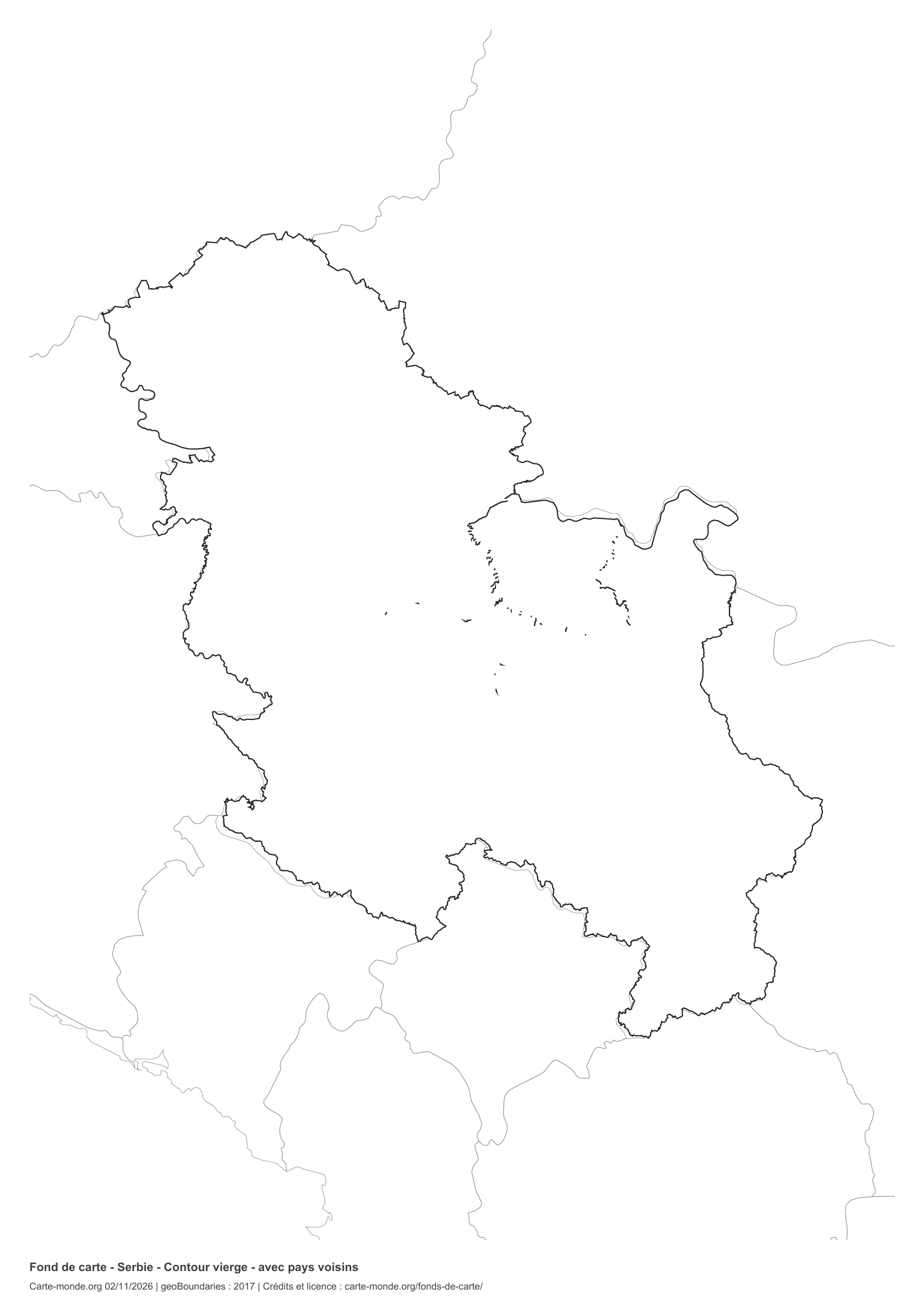
Serbia: outline with neighbouring countries, base map without names

Model 5 · November 2026 edition

Outline with neighbouring countries

National outline without names or internal boundaries, to complete freely. Surrounding countries are shown with light outlines, without names or colour fills.

A4 portrait vector PDF · PNG 2 400 px

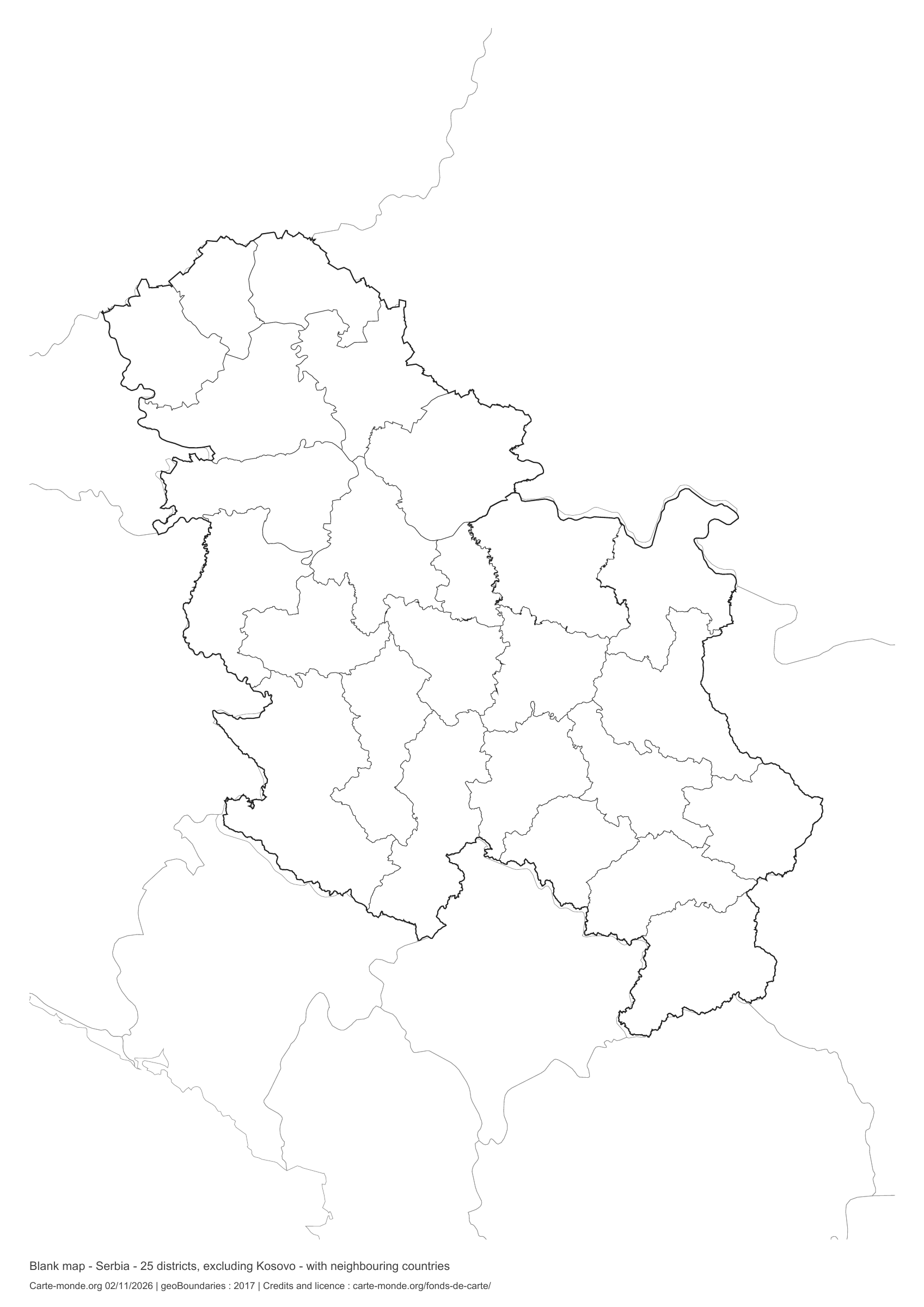
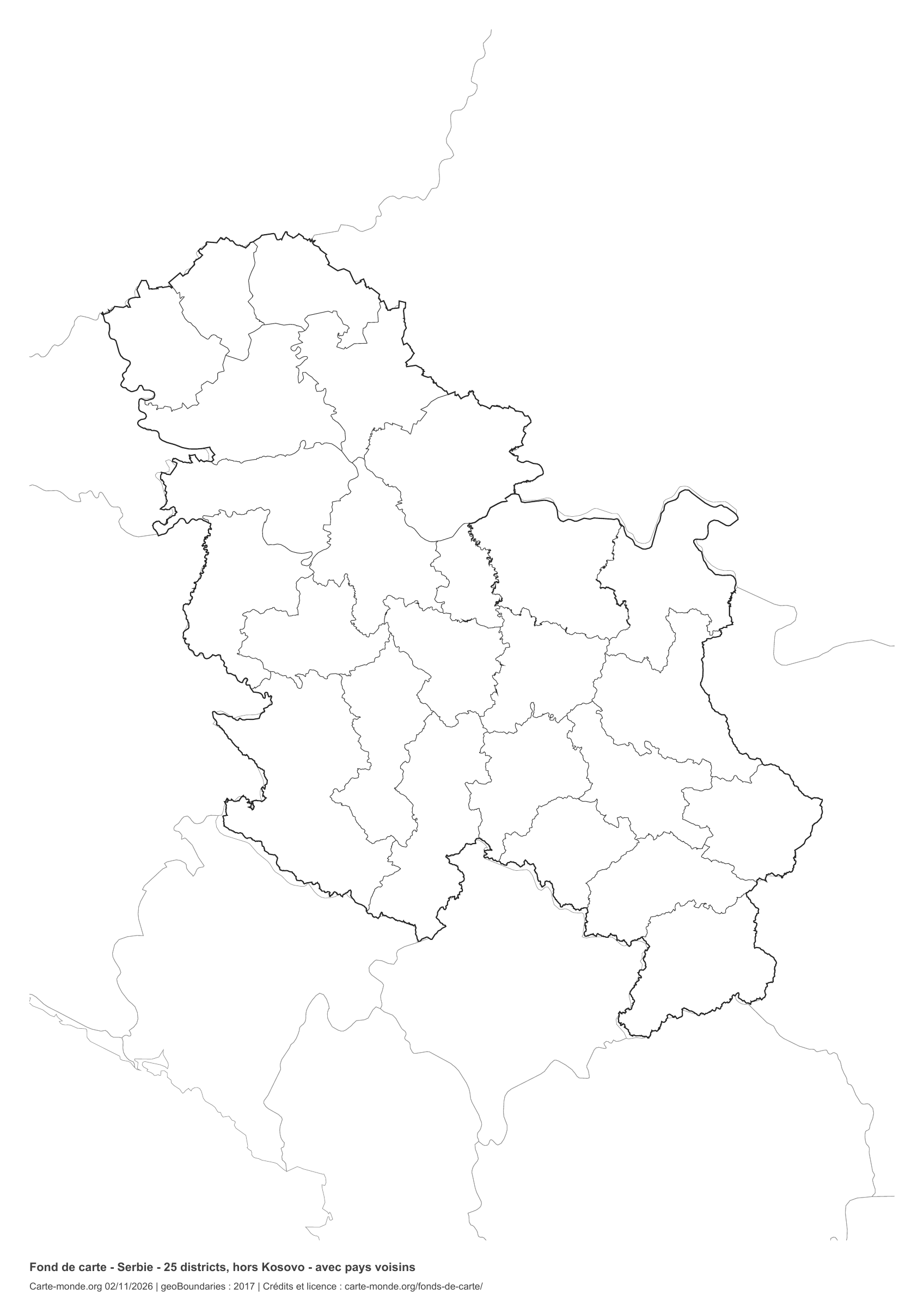
Serbia: boundaries with neighbouring countries, base map without names

Model 6 · November 2026 edition

Boundaries with neighbouring countries

Divisions shown: 25 districts, excluding Kosovo. Add names and colours. Surrounding countries are shown with light outlines, without names or colour fills.

A4 portrait vector PDF · PNG 2 400 px

The six-base-map pack

The six templates in PDF, PNG and editable SVG, with credits and reuse terms.

Download the six base maps — ZIP

Which base map should I choose?

The outline is suitable for freehand sketches: add a capital, cities or rivers. The version with boundaries lets you color or name the units shown in the divisions. Full-page versions enlarge the country and save ink. The last two maps add neighboring countries for location exercises.

Geographical names are deliberately omitted. Any inset titles indicate only their coverage and individual scales.

Maps of Serbia: labelled maps and original collection.

Download and print

  1. Open the PDF for a sharp printout; choose the PNG for a document or presentation.
  2. Print on an A4 sheet using the file’s orientation. Use “Fit to page” if your printer requires it.
  3. Any insets use different scales from the main map. Retain the source notes at the bottom of the sheet.

To edit the outlines, open the pack’s SVG in a vector editor. These generalised maps are intended for exercises and presentations.

Sources and reuse

Geometries: geoBoundaries gbOpen, 2017. Primary source: OpenStreetMap, Wambacher. Licence stated in the metadata: Open Data Commons Open Database License 1.0. View the source metadata.

Neighbouring country outlines: Natural Earth 5.1.1, public domain. Layout by Carte-monde.org, 2 November 2026 edition, under CC BY 4.0. The data retain their attributions and licences; consult the ZIP notes before reuse.

Example credit: Carte-monde.org, edition dated 2 November 2026 — geoBoundaries / OpenStreetMap, Wambacher.

Continue exploring

Maps of Serbia · Maps of European countries · Other maps and archives

Original French files

Printable base maps of Slovakia

SLOVAKIA · MAPS TO COMPLETE

Download a blank map of Slovakia to add names, prepare a sketch map or colour territories. Six black-and-white versions are available: outlines and boundaries, with space for a key, full-page or with neighbouring countries. Each map is available as an A4 PDF and PNG.

Our six blank maps have English labels.

Six base maps of Slovakia to complete

Coverage: Slovakia. Divisions: 8 regions.

Geographic reference year: 2017. The files’ edition date does not mean that all boundaries have been updated.

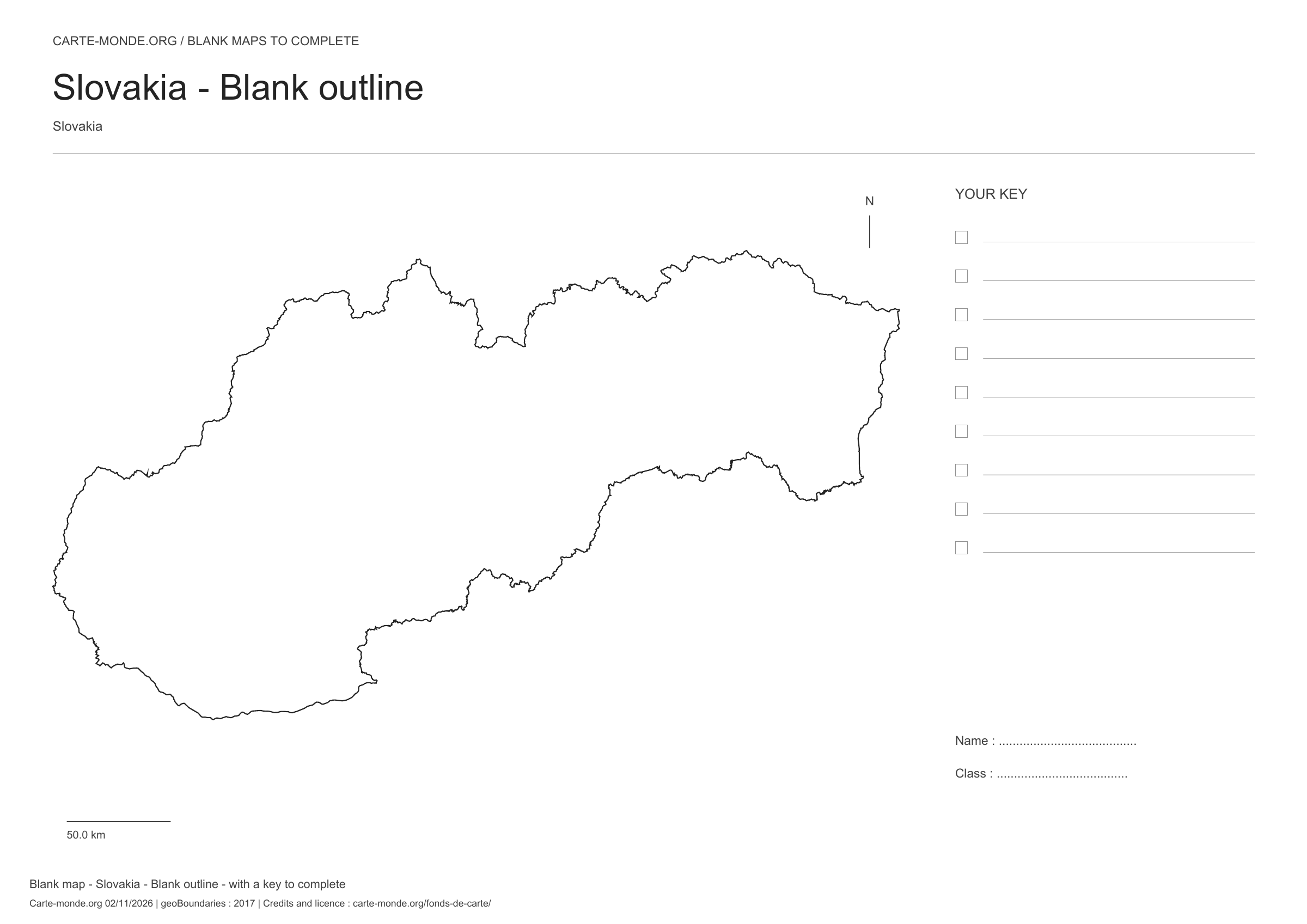
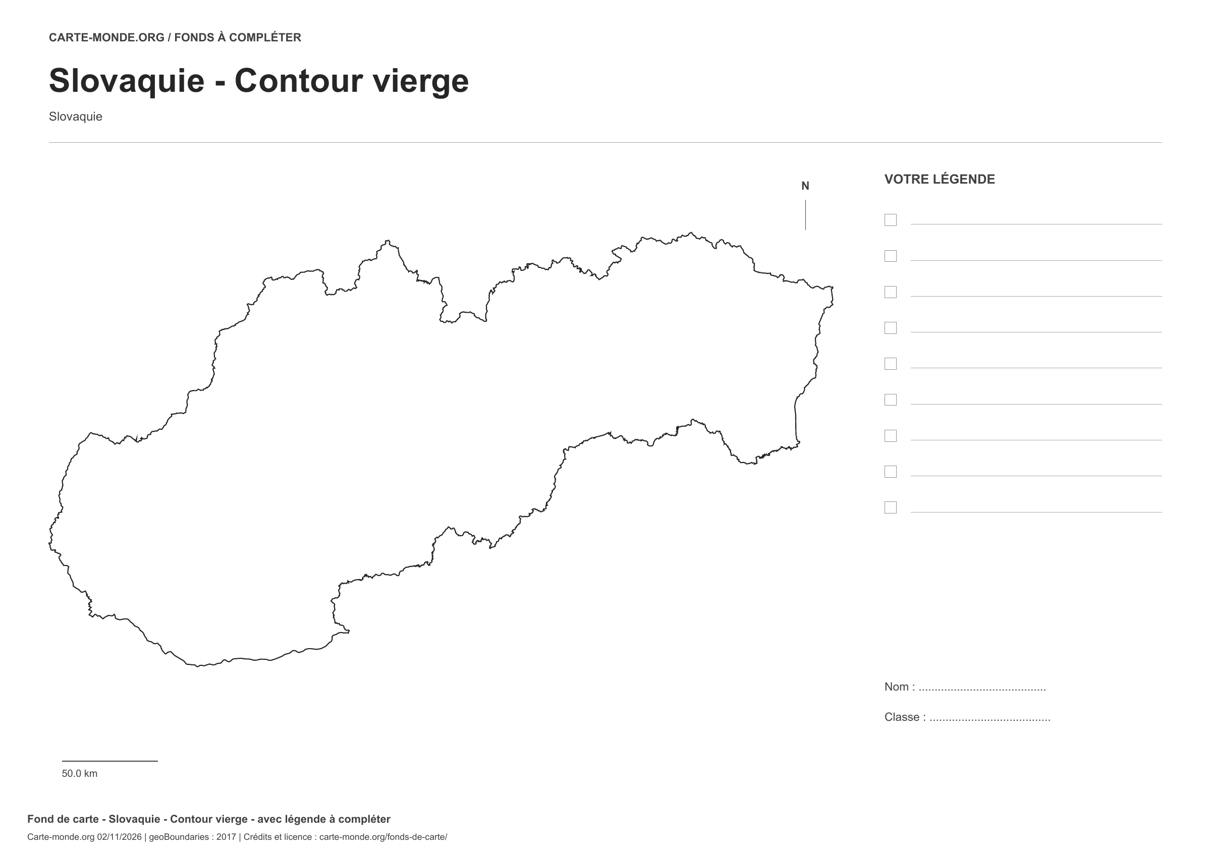
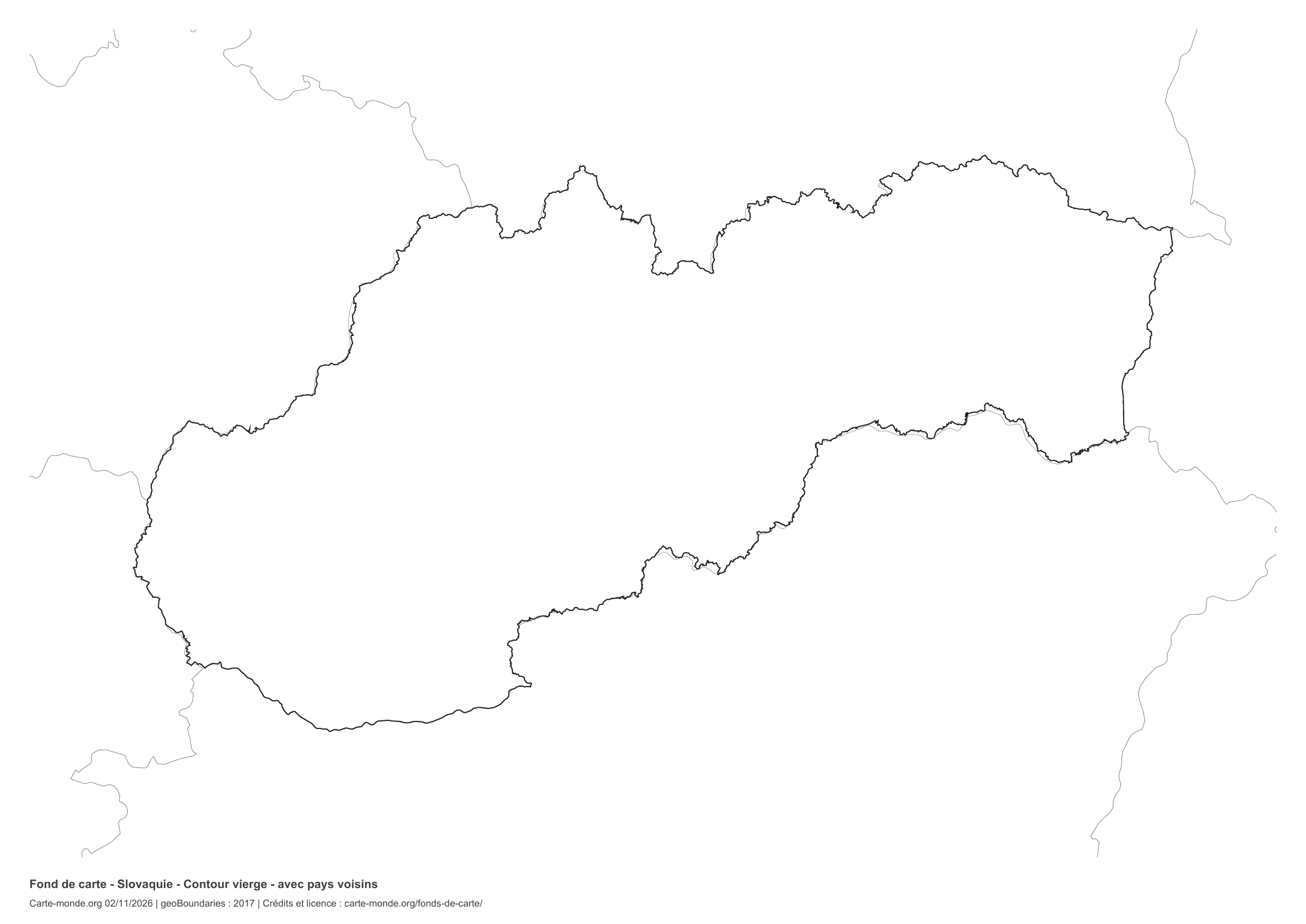
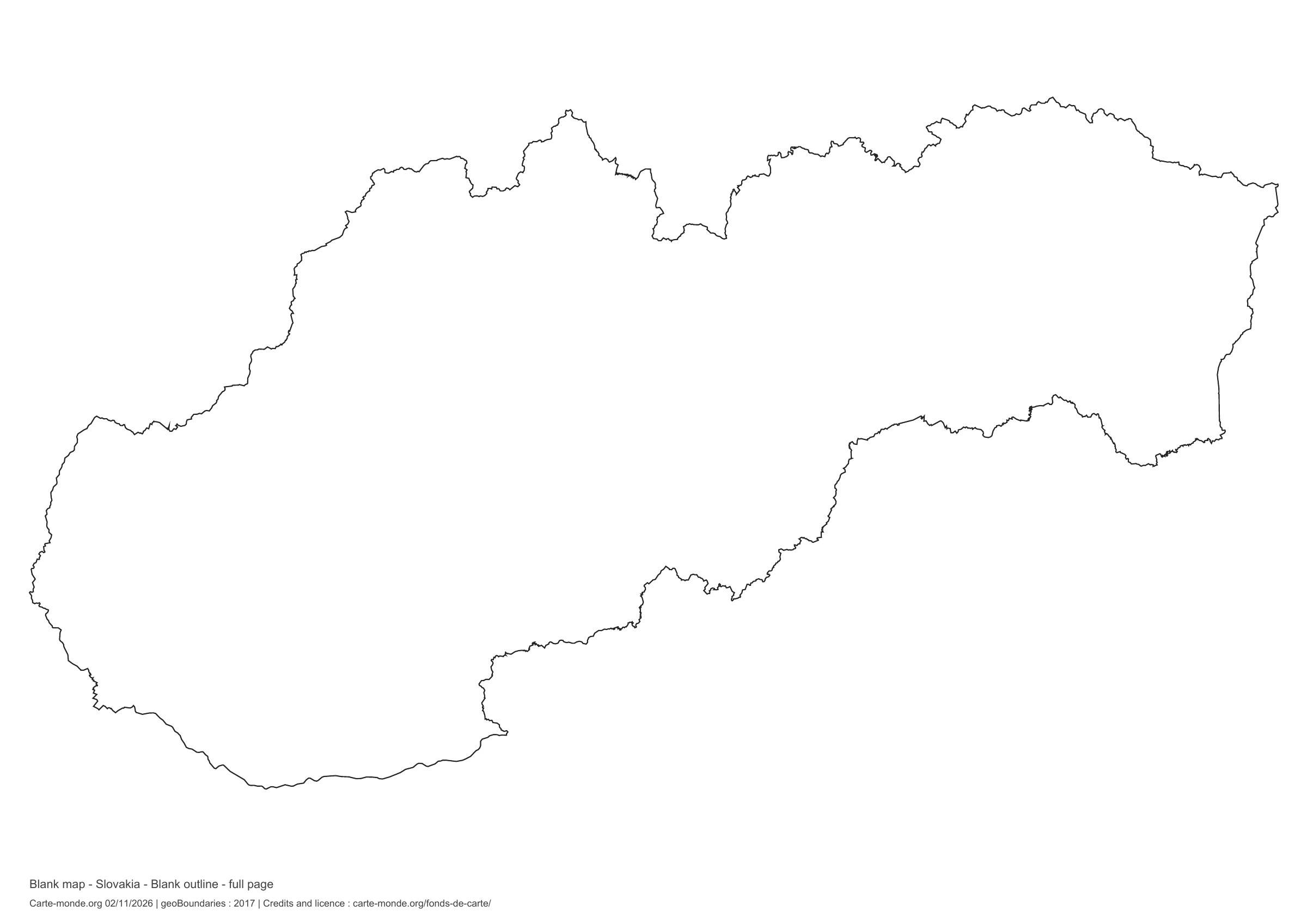
Slovakia: outline with space for a legend, base map without names

Model 1 · November 2026 edition

Outline with space for a legend

National outline without names or internal boundaries, to complete freely. Space for your key, name and class.

A4 landscape vector PDF · PNG 2 400 px

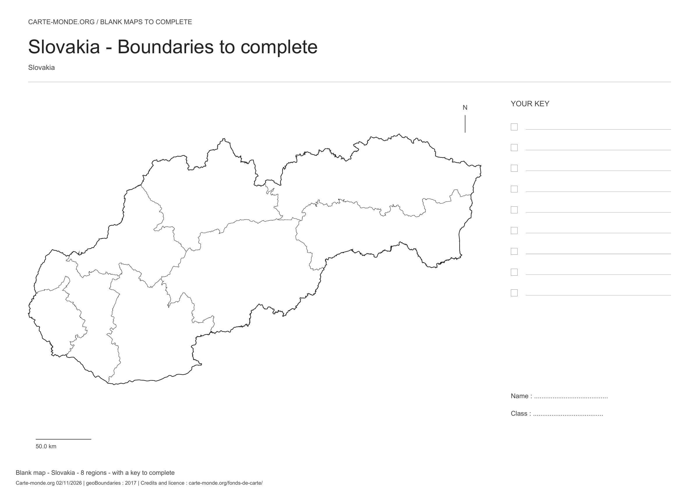
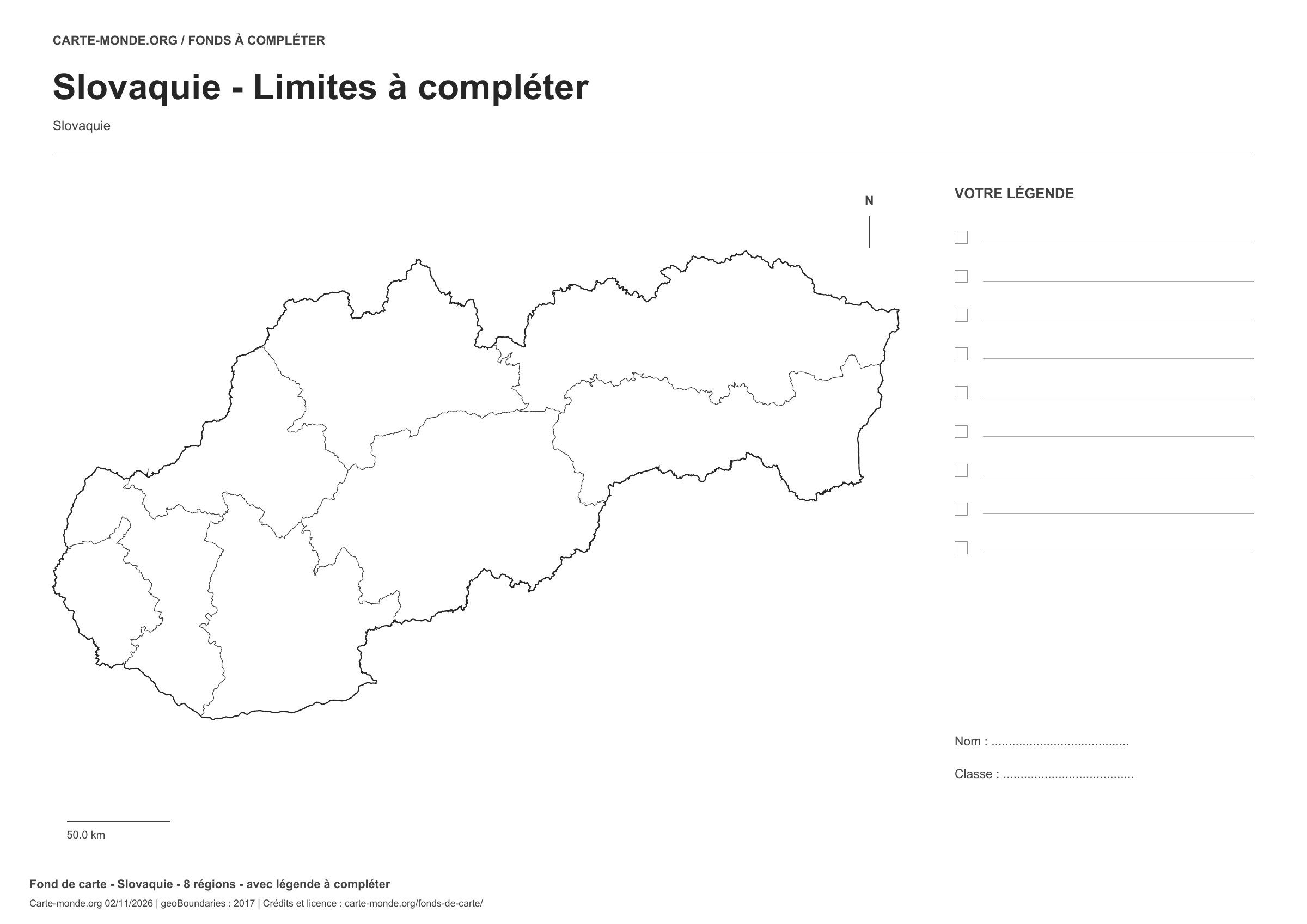
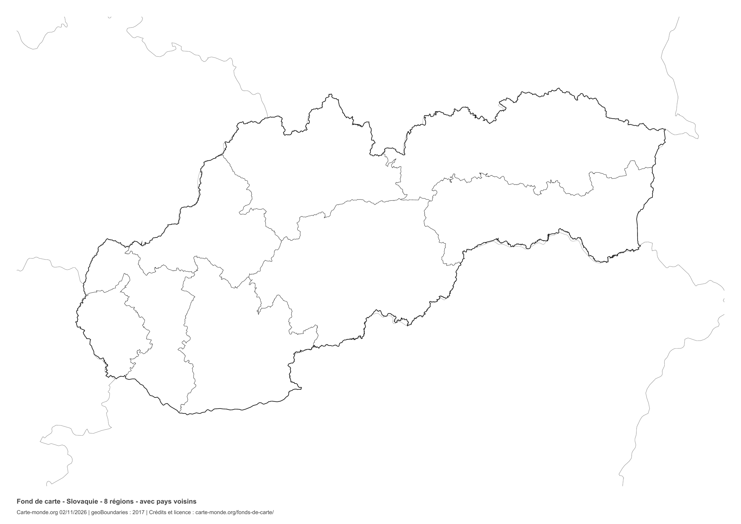
Slovakia: boundaries with space for a legend, base map without names

Model 2 · November 2026 edition

Boundaries with space for a legend

Divisions shown: 8 regions. Add names and colours. Space for your key, name and class.

A4 landscape vector PDF · PNG 2 400 px

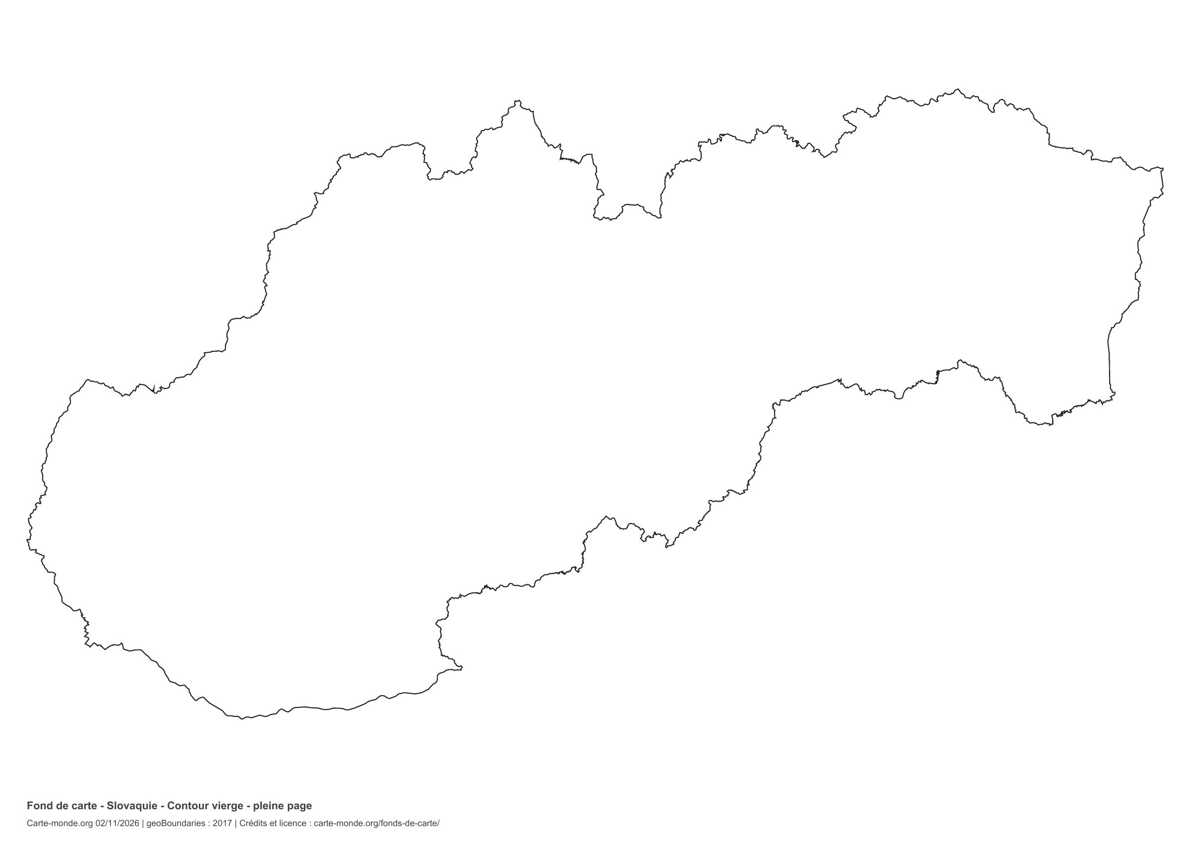
Slovakia: full-page outline, base map without names

Model 3 · November 2026 edition

Full-page outline

National outline without names or internal boundaries, to complete freely. The map fills almost the entire sheet; only two reference lines appear at the bottom.

A4 landscape vector PDF · PNG 2 400 px

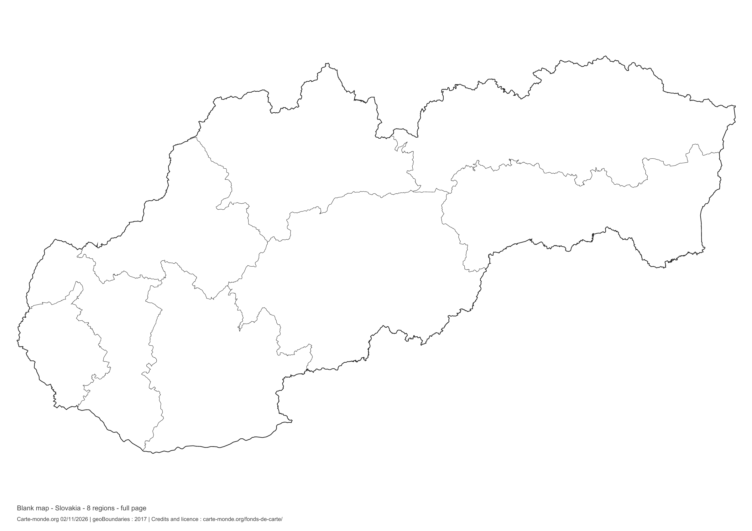
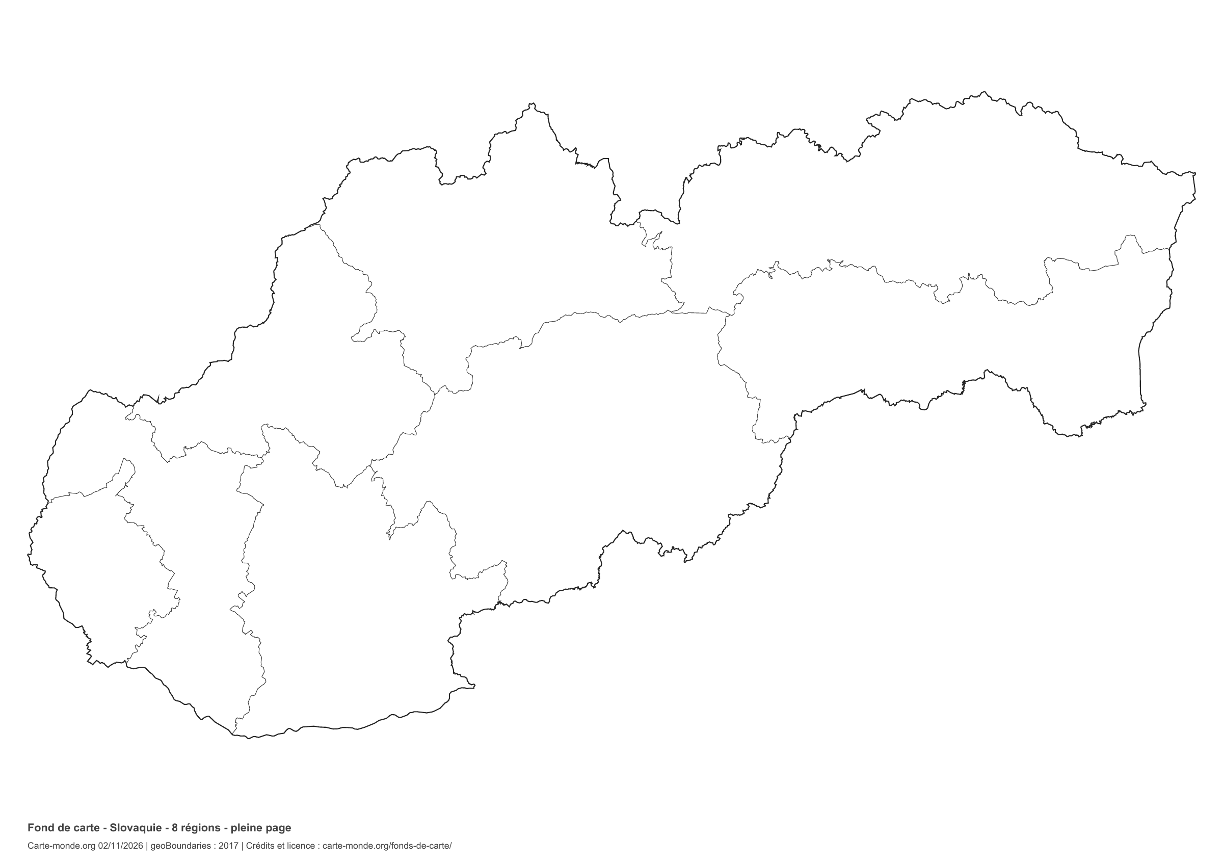
Slovakia: full-page boundaries, base map without names

Model 4 · November 2026 edition

Full-page boundaries

Divisions shown: 8 regions. Add names and colours. The map fills almost the entire sheet; only two reference lines appear at the bottom.

A4 landscape vector PDF · PNG 2 400 px

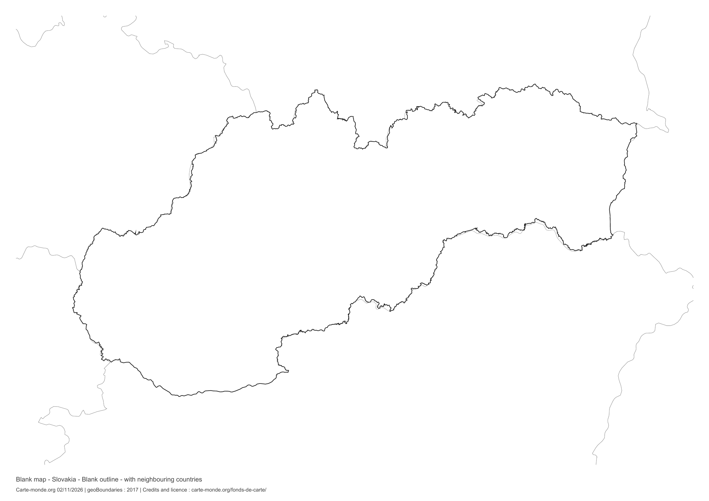
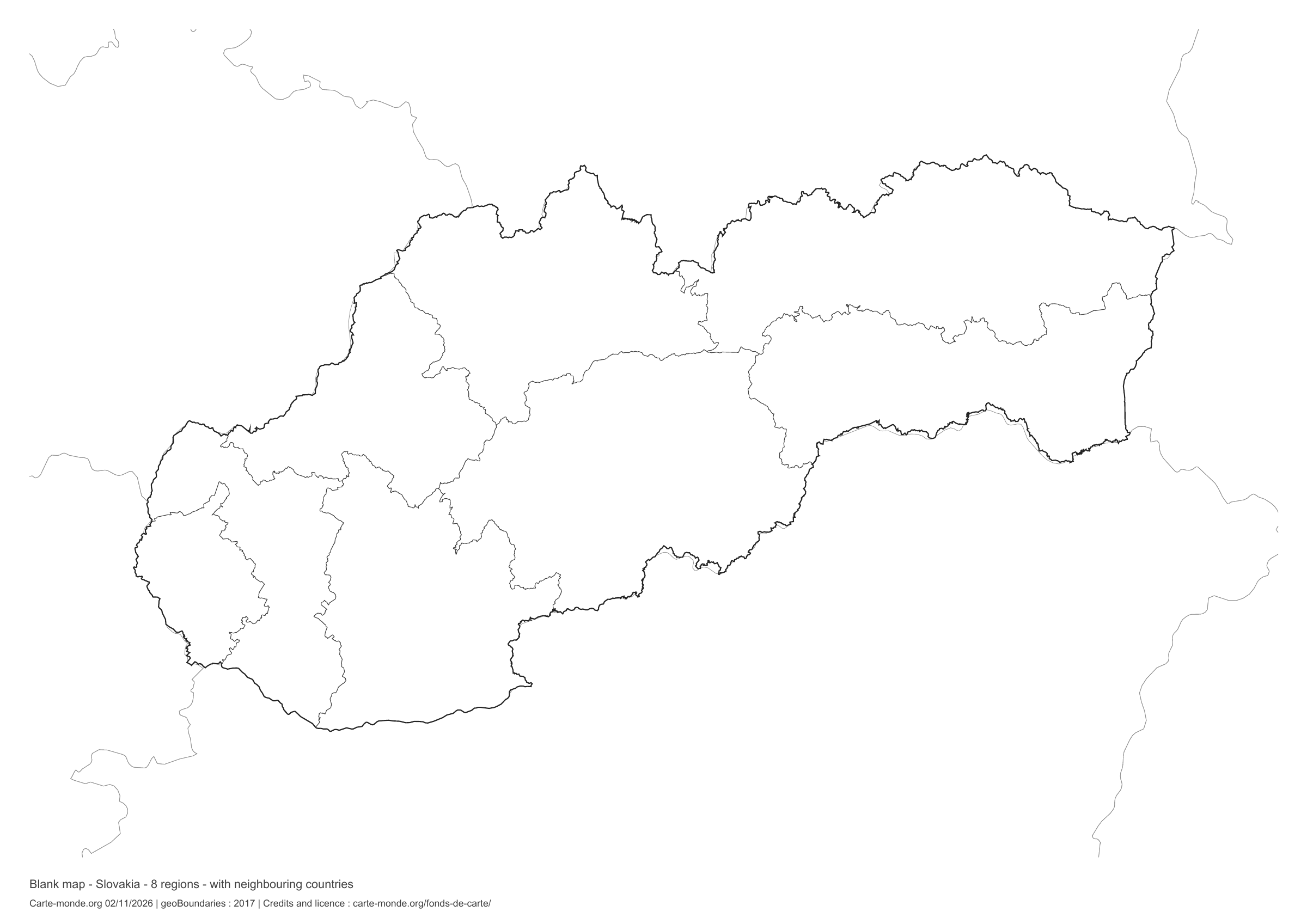
Slovakia: outline with neighbouring countries, base map without names

Model 5 · November 2026 edition

Outline with neighbouring countries

National outline without names or internal boundaries, to complete freely. Surrounding countries are shown with light outlines, without names or colour fills.

A4 landscape vector PDF · PNG 2 400 px

Slovakia: boundaries with neighbouring countries, base map without names

Model 6 · November 2026 edition

Boundaries with neighbouring countries

Divisions shown: 8 regions. Add names and colours. Surrounding countries are shown with light outlines, without names or colour fills.

A4 landscape vector PDF · PNG 2 400 px

The six-base-map pack

The six templates in PDF, PNG and editable SVG, with credits and reuse terms.

Download the six base maps — ZIP

Which base map should I choose?

The outline is suitable for freehand sketches: add a capital, cities or rivers. The version with boundaries lets you color or name the units shown in the divisions. Full-page versions enlarge the country and save ink. The last two maps add neighboring countries for location exercises.

Geographical names are deliberately omitted. Any inset titles indicate only their coverage and individual scales.

Maps of Slovakia: labelled maps and original collection.

Download and print

  1. Open the PDF for a sharp printout; choose the PNG for a document or presentation.
  2. Print on an A4 sheet using the file’s orientation. Use “Fit to page” if your printer requires it.
  3. Any insets use different scales from the main map. Retain the source notes at the bottom of the sheet.

To edit the outlines, open the pack’s SVG in a vector editor. These generalised maps are intended for exercises and presentations.

Sources and reuse

Geometries: geoBoundaries gbOpen, 2017. Primary source: OpenStreetMap, Wambacher. Licence stated in the metadata: Open Data Commons Open Database License 1.0. View the source metadata.

Neighbouring country outlines: Natural Earth 5.1.1, public domain. Layout by Carte-monde.org, 2 November 2026 edition, under CC BY 4.0. The data retain their attributions and licences; consult the ZIP notes before reuse.

Example credit: Carte-monde.org, edition dated 2 November 2026 — geoBoundaries / OpenStreetMap, Wambacher.

Continue exploring

Maps of Slovakia · Maps of European countries · Other maps and archives

Original French files

Printable base maps of Slovenia

SLOVENIA · MAPS TO COMPLETE

Download a blank map of Slovenia to add names, prepare a sketch map or colour territories. Six black-and-white versions are available: outlines and boundaries, with space for a key, full-page or with neighbouring countries. Each map is available as an A4 PDF and PNG.

Our six blank maps have English labels.

Six base maps of Slovenia to complete

Coverage: Slovenia. Divisions: 212 municipalities.

OpenStreetMap boundaries extracted on 02/11/2026. 212 municipalities; generalized Natural Earth 5.1.1 national outline.

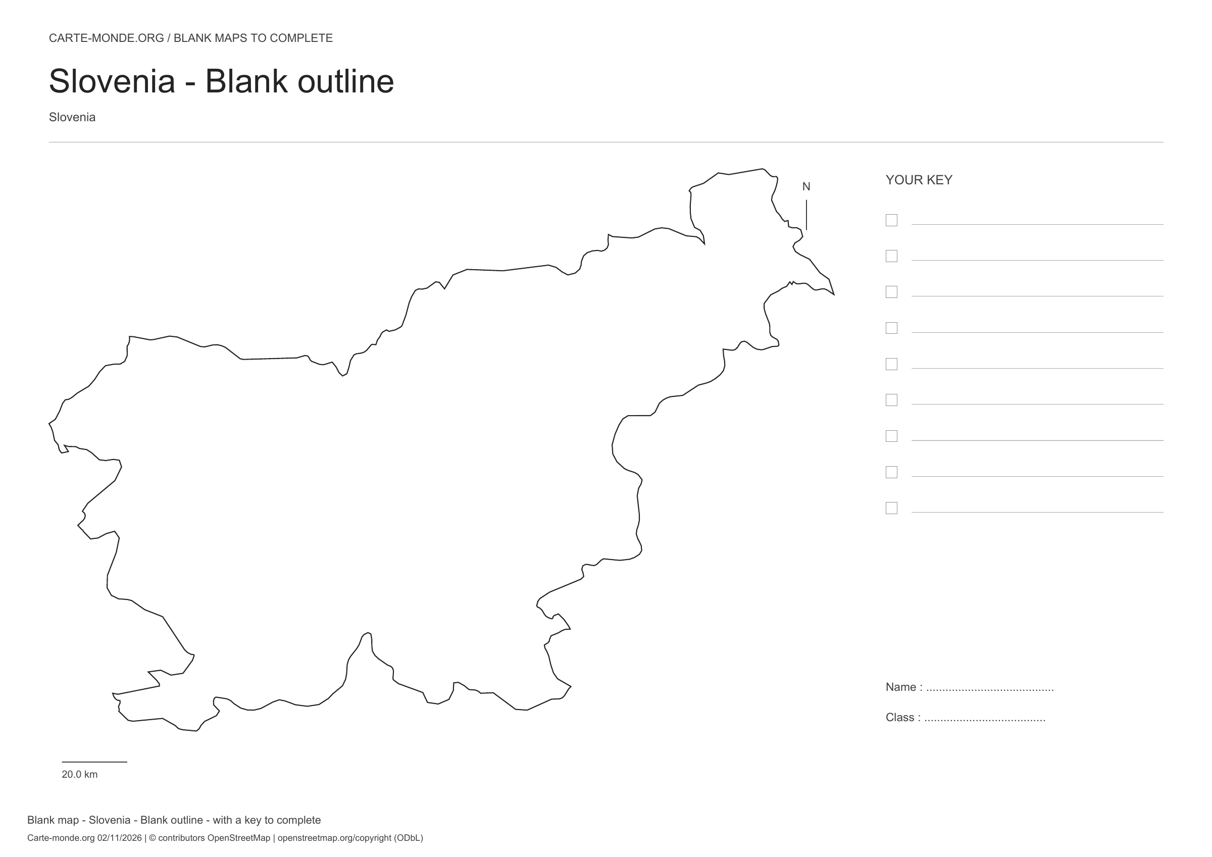
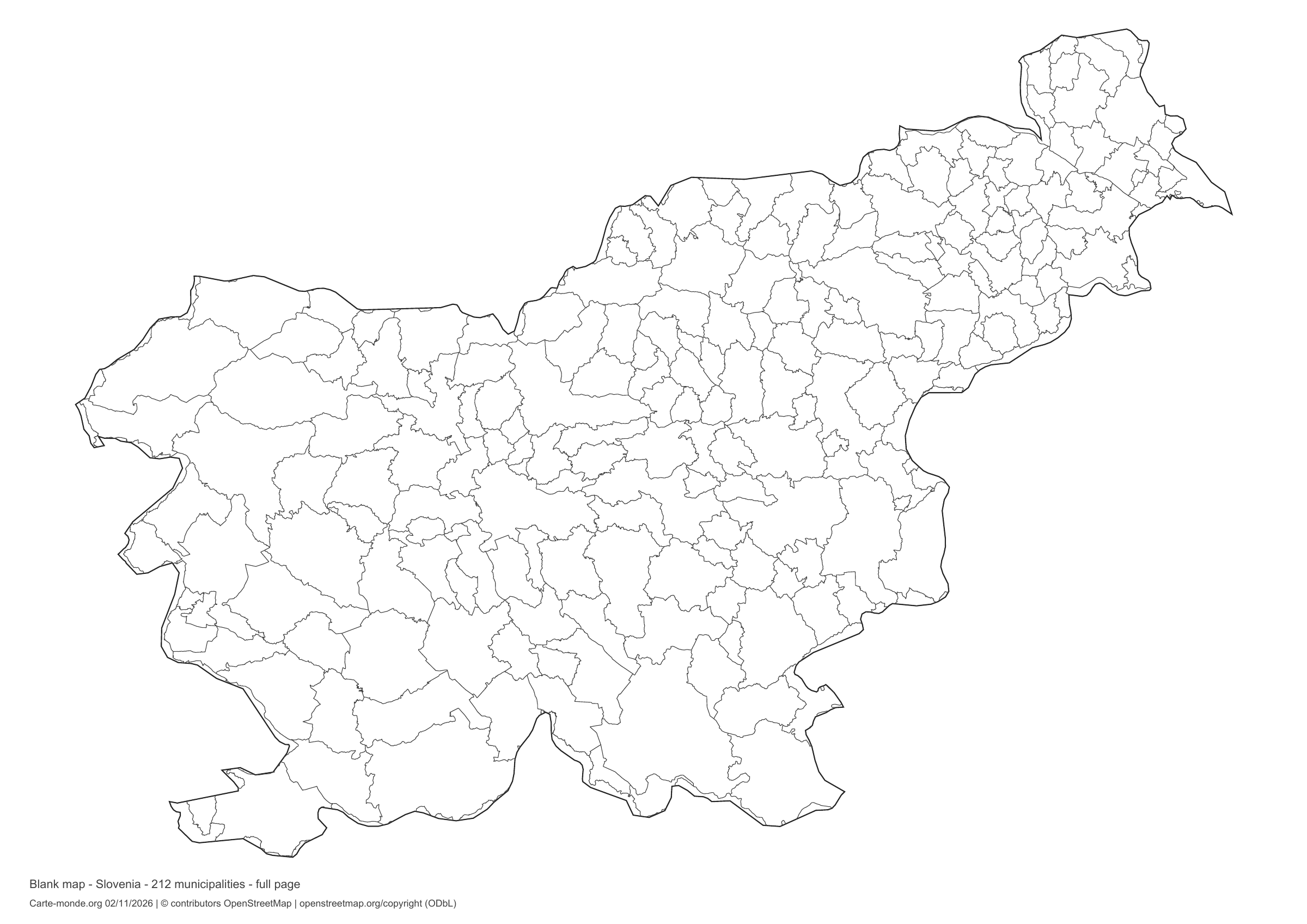
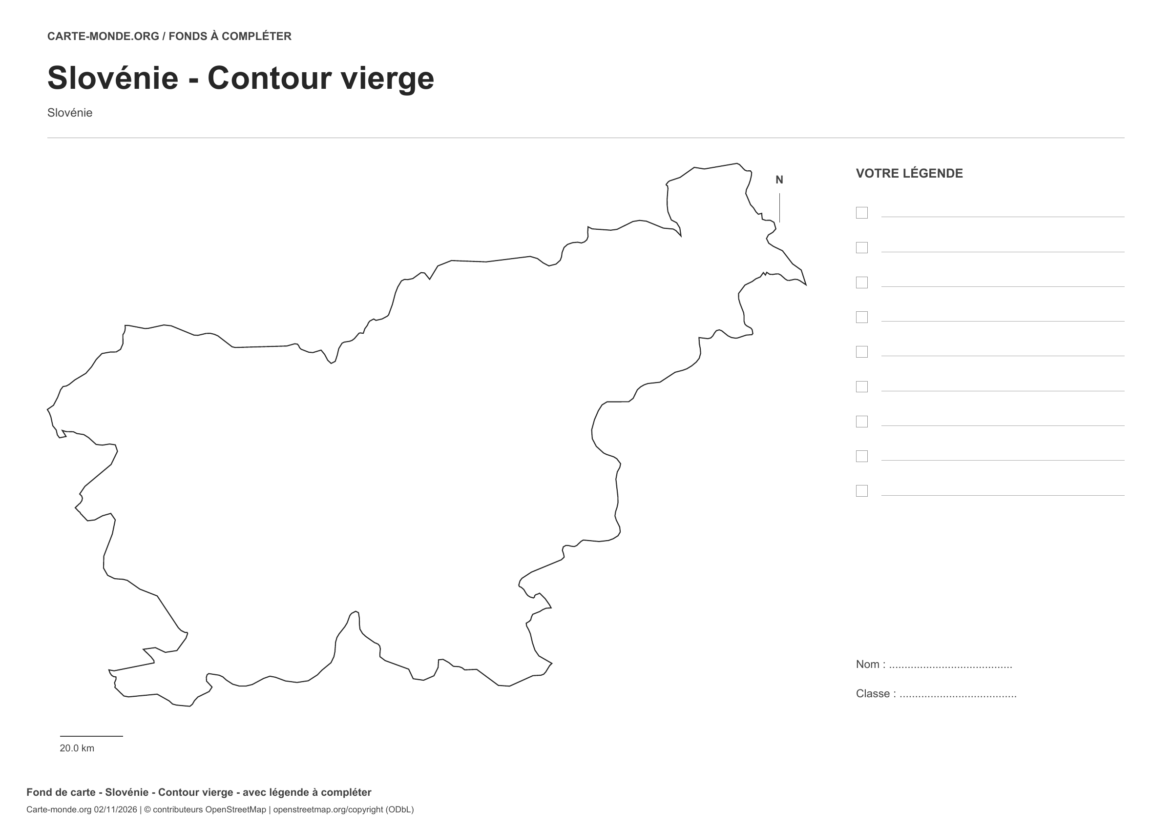
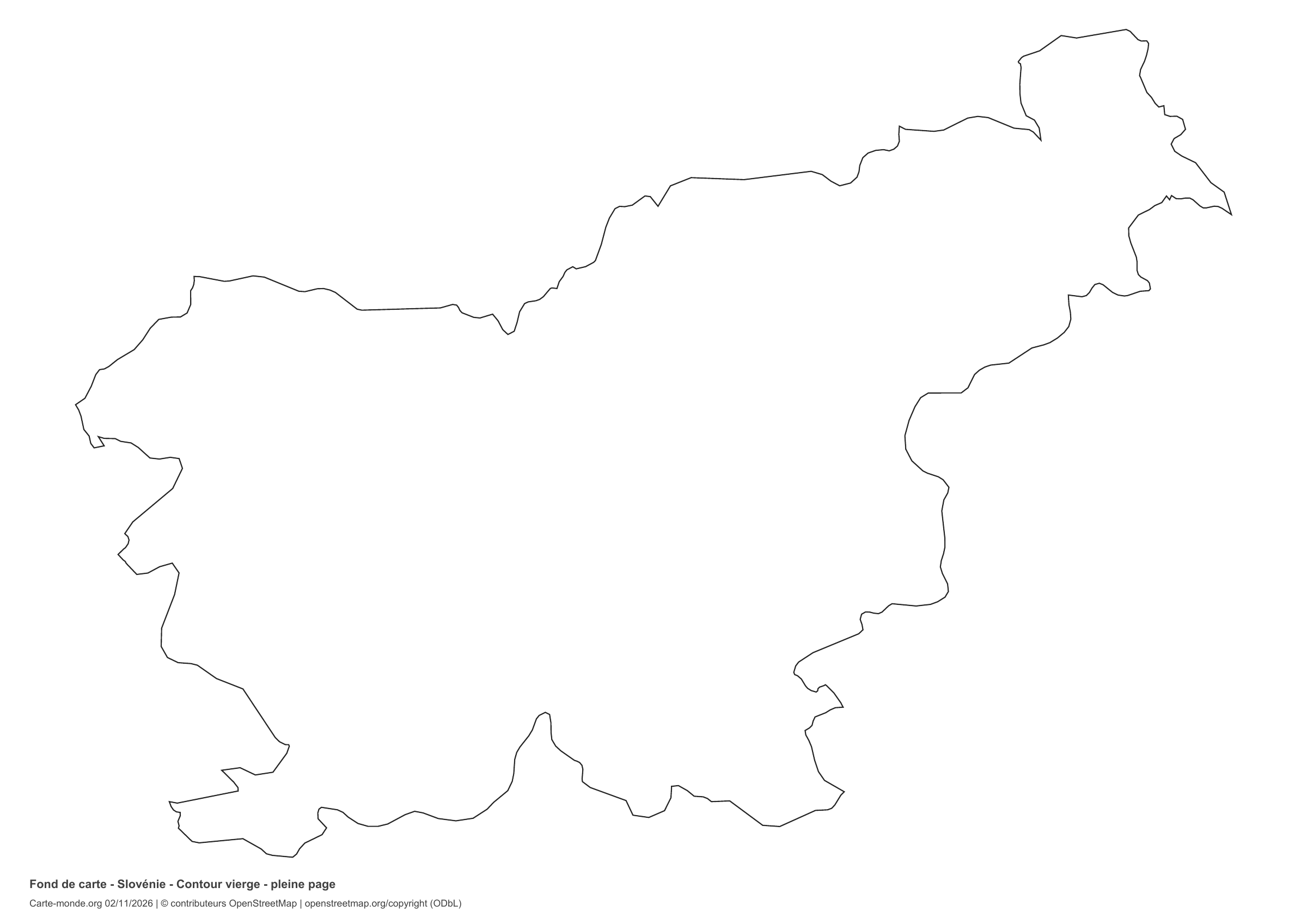
Slovenia: outline with space for a legend, base map without names

Model 1 · November 2026 edition

Outline with space for a legend

National outline without names or internal boundaries, to complete freely. Space for your key, name and class.

A4 landscape vector PDF · PNG 2 400 px

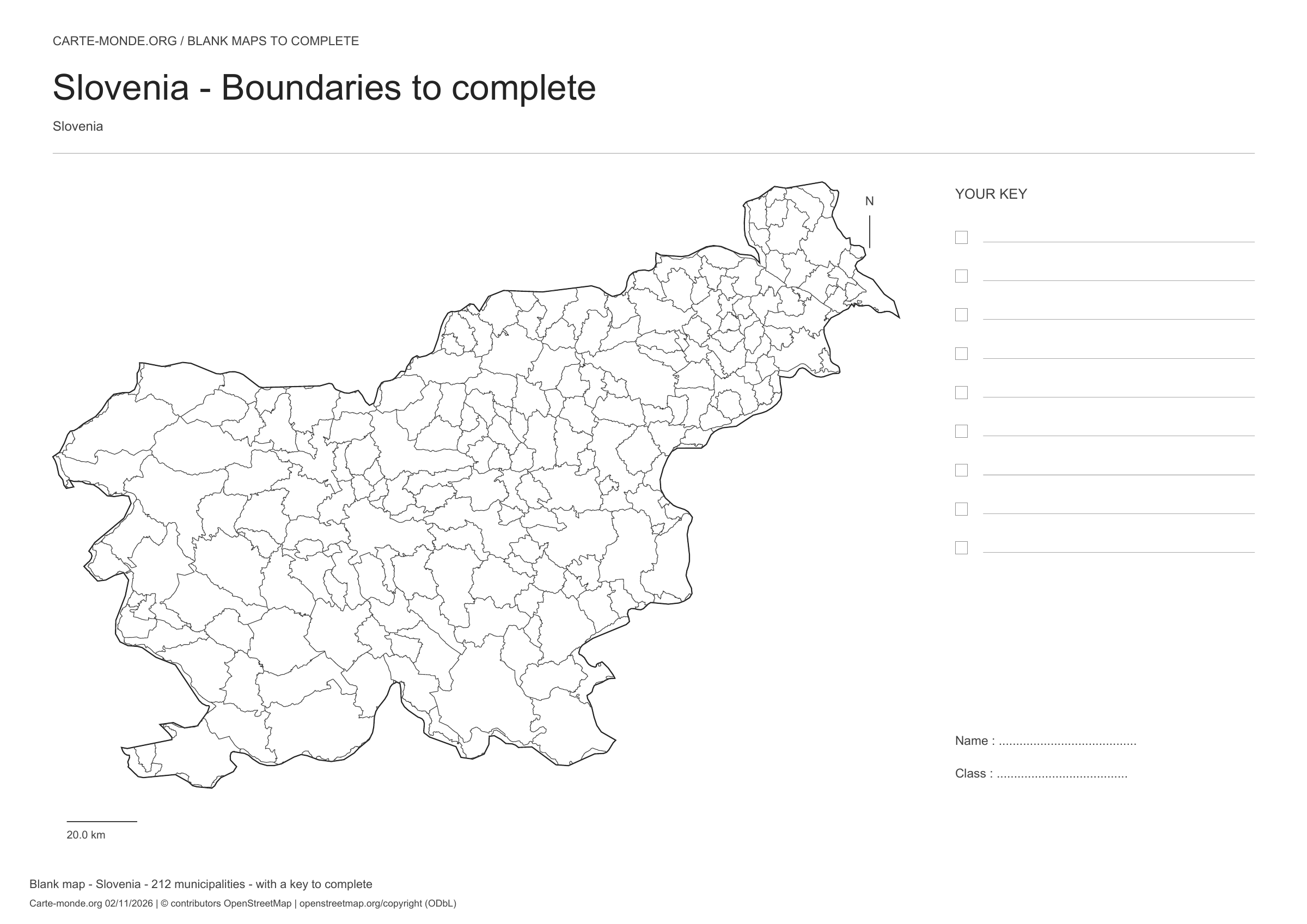
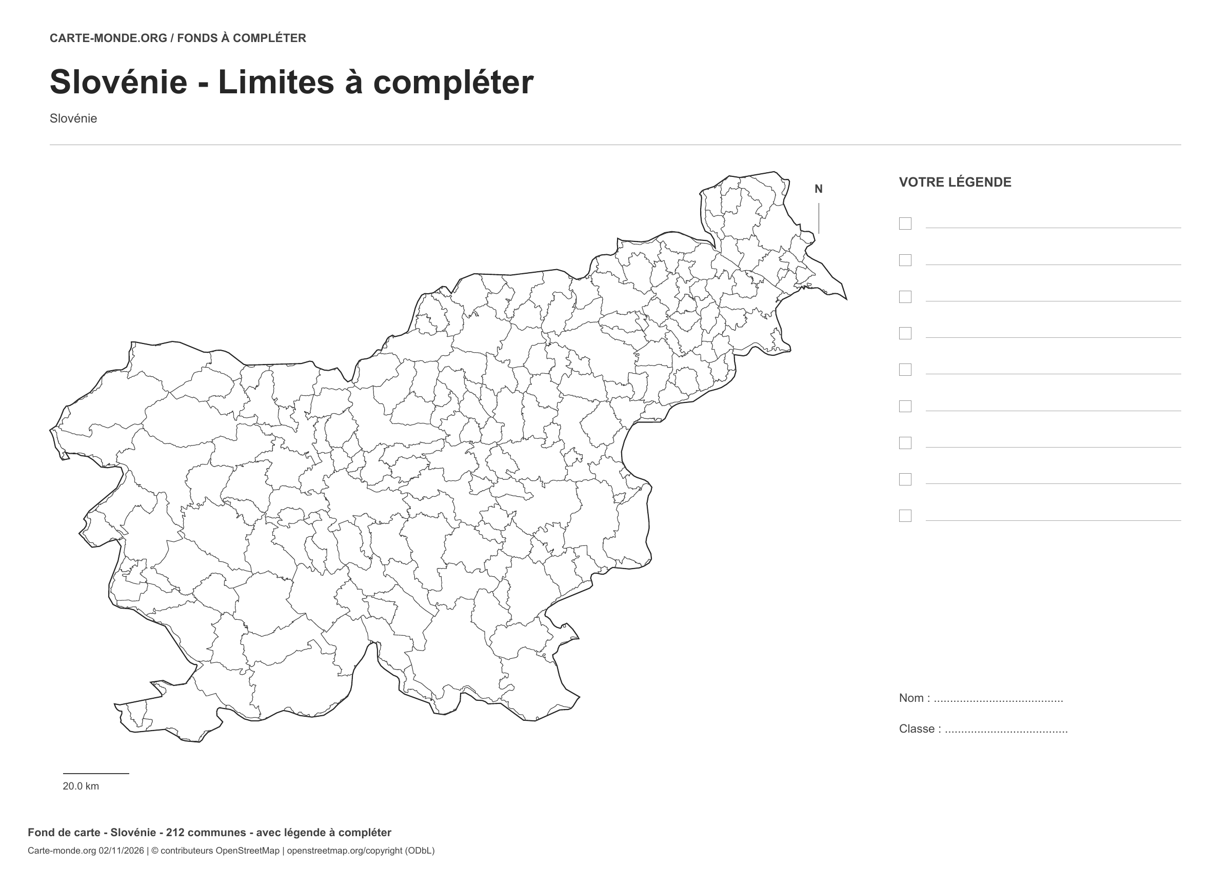
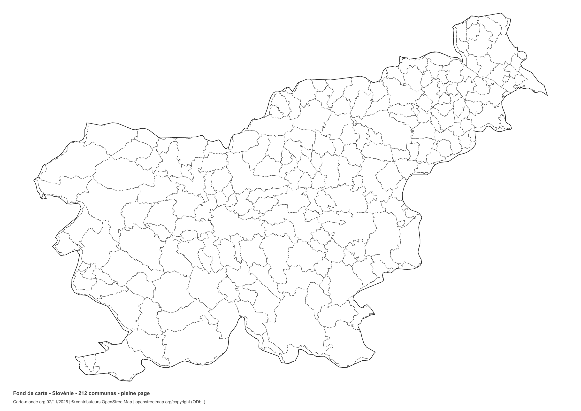
Slovenia: boundaries with space for a legend, base map without names

Model 2 · November 2026 edition

Boundaries with space for a legend

Divisions shown: 212 municipalities. Add names and colours. Space for your legend, name and class.

A4 landscape vector PDF · PNG 2 400 px

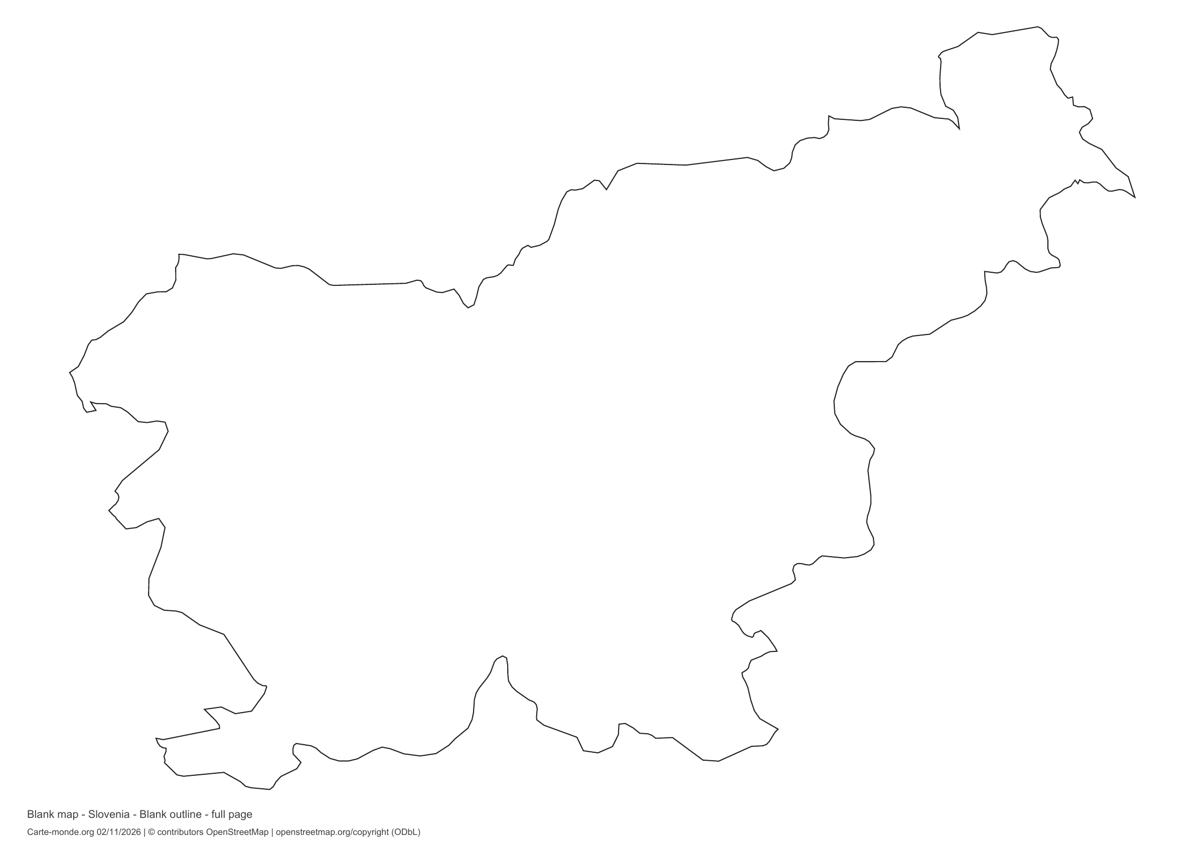
Slovenia: full-page outline, base map without names

Model 3 · November 2026 edition

Full-page outline

National outline without names or internal boundaries, to complete freely. The map fills almost the entire sheet; only two reference lines appear at the bottom.

A4 landscape vector PDF · PNG 2 400 px

Slovenia: full-page boundaries, base map without names

Model 4 · November 2026 edition

Full-page boundaries

Divisions shown: 212 municipalities. Add names and colours. The map covers almost the entire sheet; only two reference lines appear at the bottom.

A4 landscape vector PDF · PNG 2 400 px

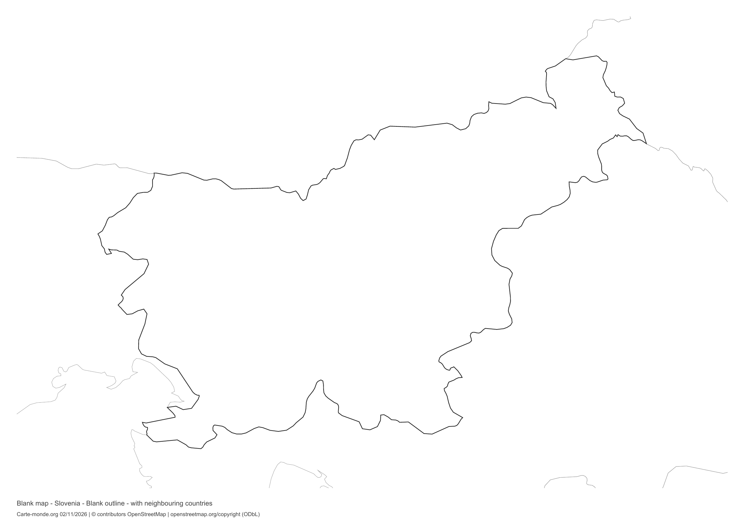
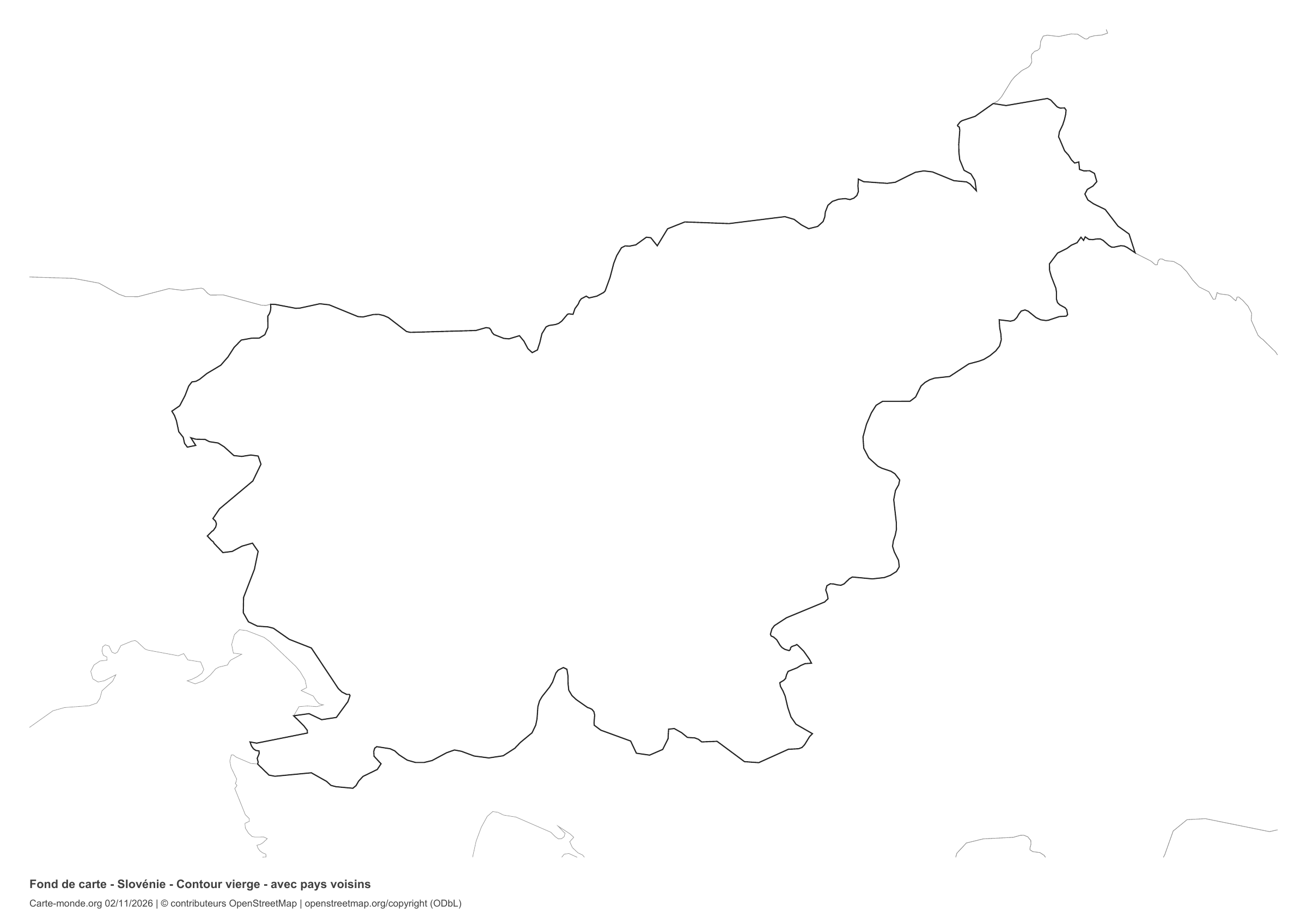
Slovenia: outline with neighbouring countries, base map without names

Model 5 · November 2026 edition

Outline with neighbouring countries

National outline without names or internal boundaries, to complete freely. Surrounding countries are shown with light outlines, without names or colour fills.

A4 landscape vector PDF · PNG 2 400 px

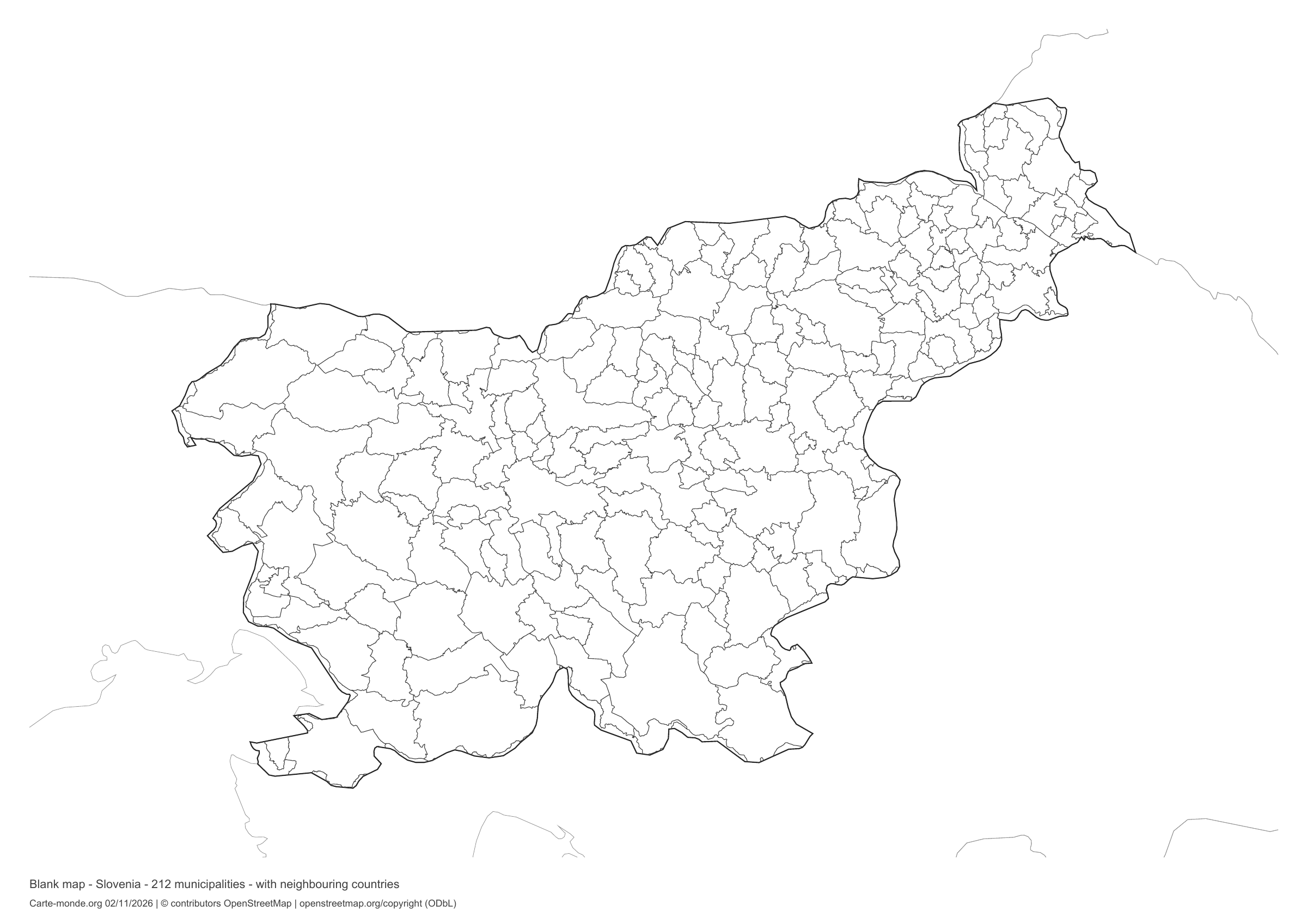
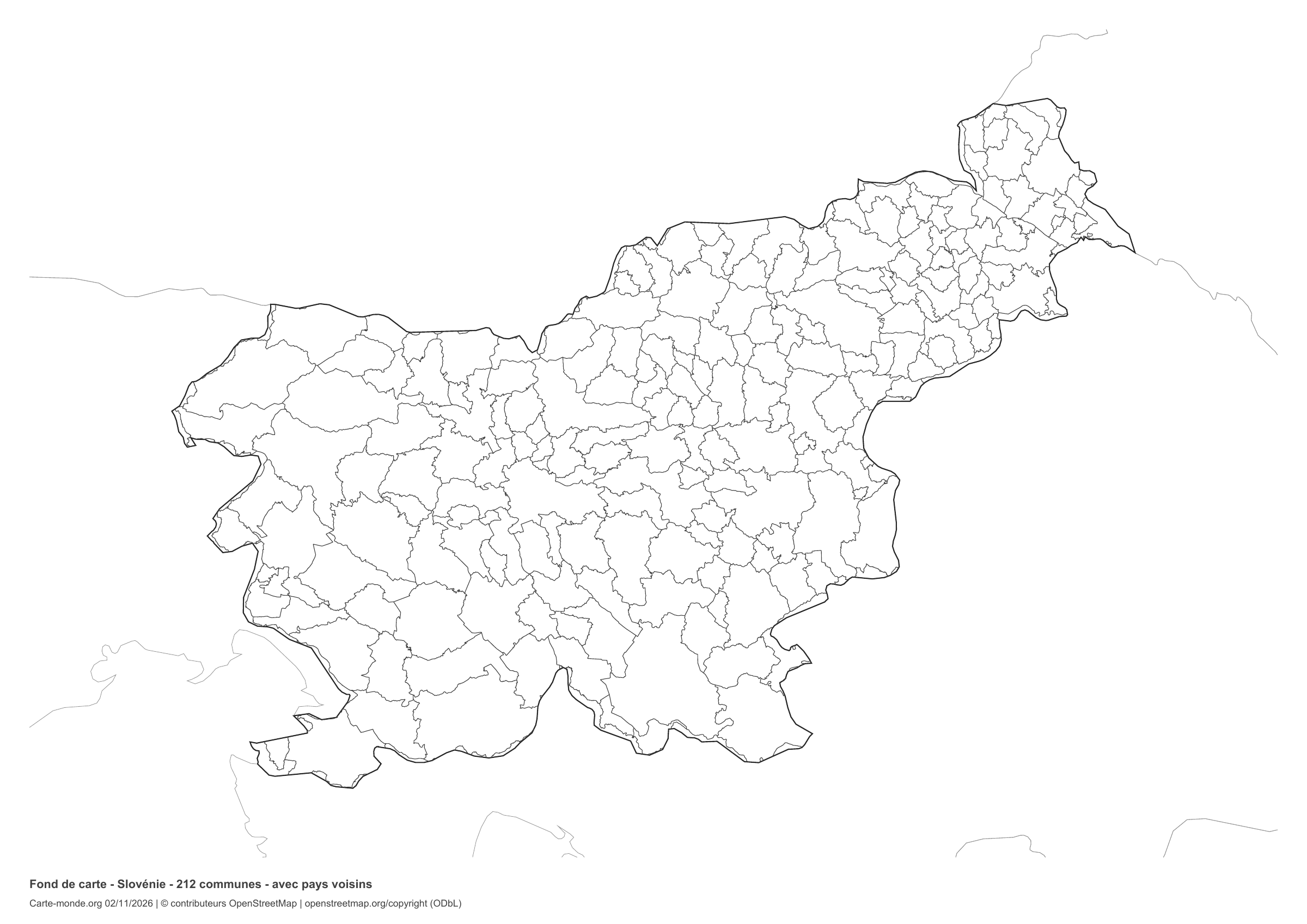
Slovenia: boundaries with neighbouring countries, base map without names

Model 6 · November 2026 edition

Boundaries with neighbouring countries

Divisions shown: 212 municipalities. Add names and colours. The outlines of surrounding countries appear as fine lines, without names or filled areas.

A4 landscape vector PDF · PNG 2 400 px

The six-base-map pack

The six templates in PDF, PNG and editable SVG, with credits and reuse terms.

Download the six base maps — ZIP

Which base map should I choose?

The outline is suitable for freehand sketches: add a capital, cities or rivers. The version with boundaries lets you color or name the units shown in the divisions. Full-page versions enlarge the country and save ink. The last two maps add neighboring countries for location exercises.

Geographical names are deliberately omitted. Any inset titles indicate only their coverage and individual scales.

Maps of Slovenia: labelled maps and original collection.

Download and print

  1. Open the PDF for a sharp printout; choose the PNG for a document or presentation.
  2. Print on an A4 sheet using the file’s orientation. Use “Fit to page” if your printer requires it.
  3. Any insets use different scales from the main map. Retain the source notes at the bottom of the sheet.

To edit the outlines, open the pack’s SVG in a vector editor. These generalised maps are intended for exercises and presentations.

Sources and reuse

Administrative boundaries: © contributors OpenStreetMap, ODbL licence, extracted on 2 November 2026. The pack includes derived geometries under the same licence. Immediate surroundings: OpenStreetMap.

Neighbouring country outlines: Natural Earth 5.1.1, public domain. Layout by Carte-monde.org, 2 November 2026 edition, under CC BY 4.0. The data retain their attributions and licences; consult the ZIP notes before reuse.

Example credit: Carte-monde.org, edition of 2 November 2026 — © contributors OpenStreetMap (ODbL).

Continue exploring

Maps of Slovenia · Maps of European countries · Other maps and archives

Original French files

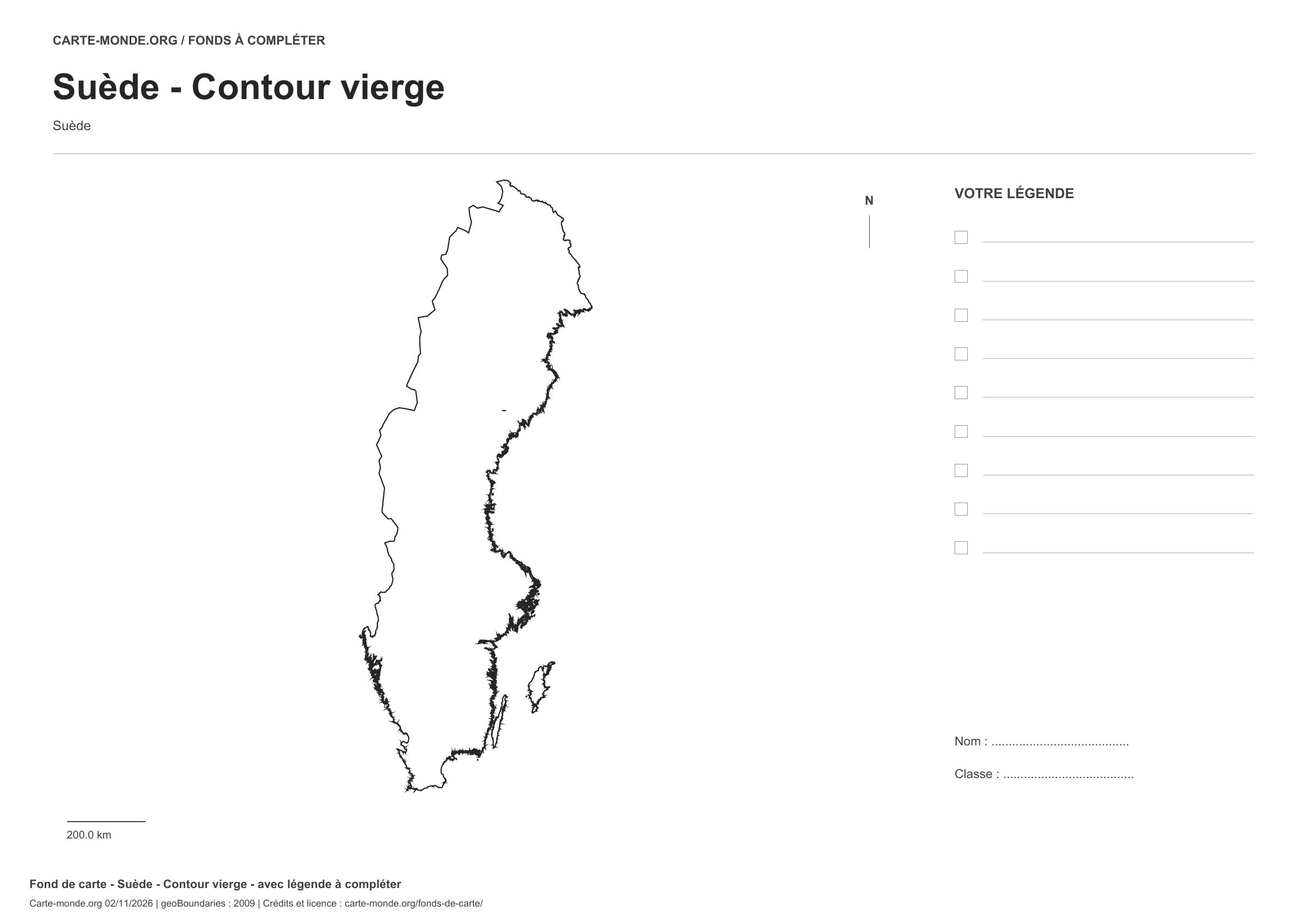
Printable base maps of Sweden

SWEDEN · MAPS TO COMPLETE

Download a blank map of Sweden to add names, prepare a sketch map or colour territories. Six black-and-white versions are available: outlines and boundaries, with space for a key, full-page or with neighbouring countries. Each map is available as an A4 PDF and PNG.

Our six blank maps have English labels.

Six base maps of Sweden to complete

Coverage: Sweden. Divisions: 21 counties.

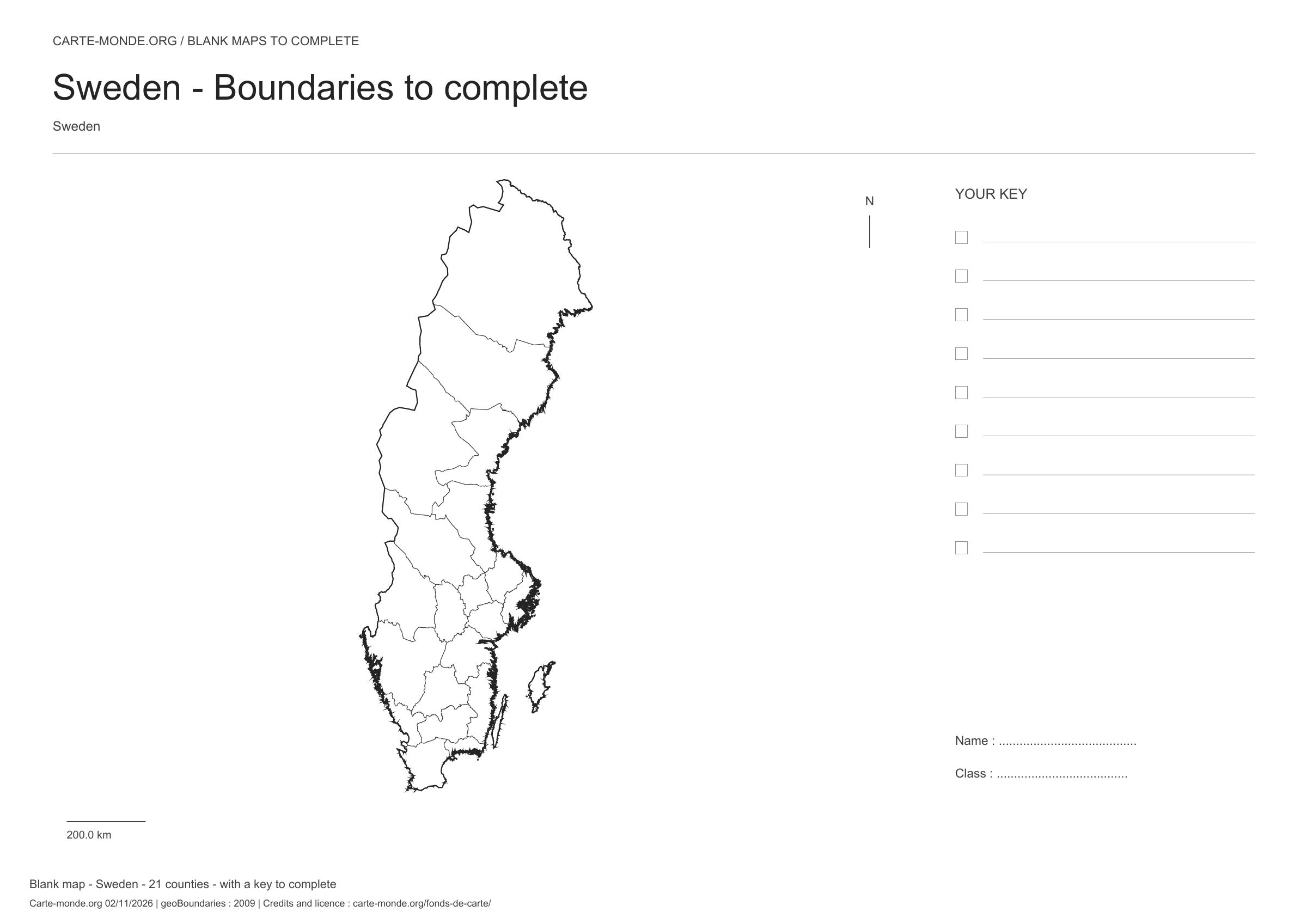
Geographic reference year: 2009. The files’ edition date does not mean that all boundaries have been updated.

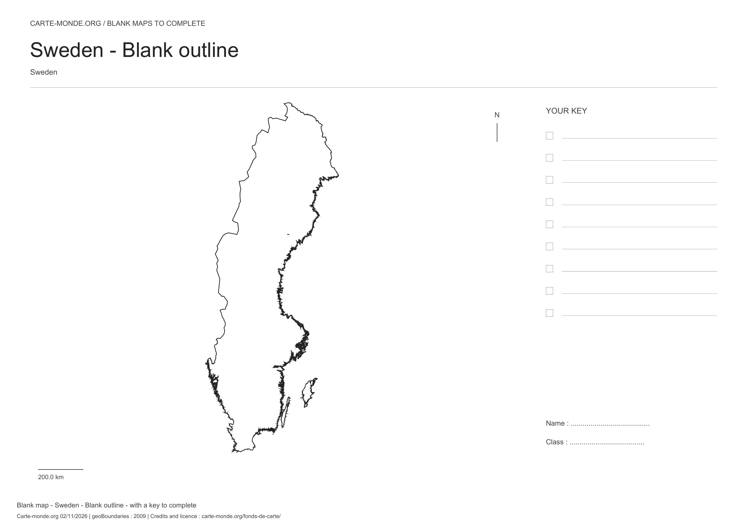
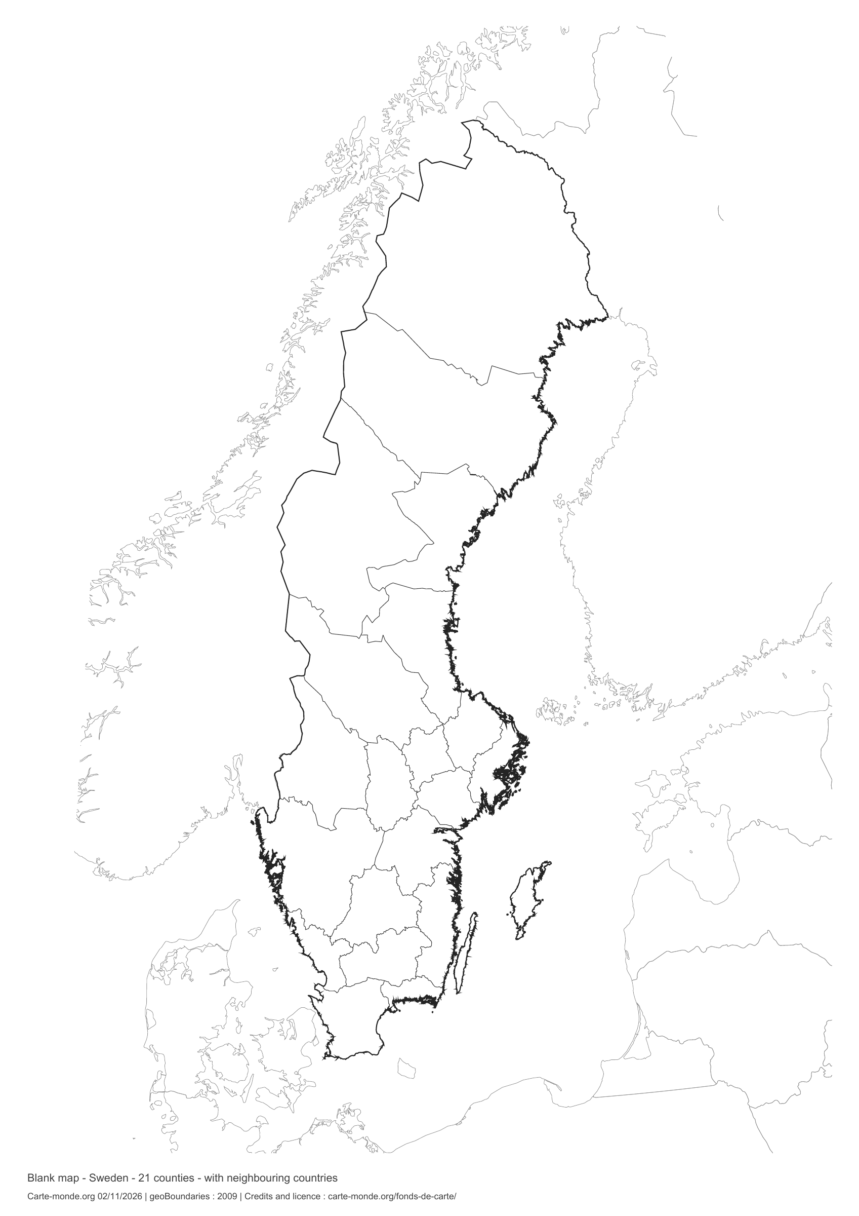
Sweden: outline with space for a legend, base map without names

Model 1 · November 2026 edition

Outline with space for a legend

National outline without names or internal boundaries, to complete freely. Space for your key, name and class.

A4 landscape vector PDF · PNG 2 400 px

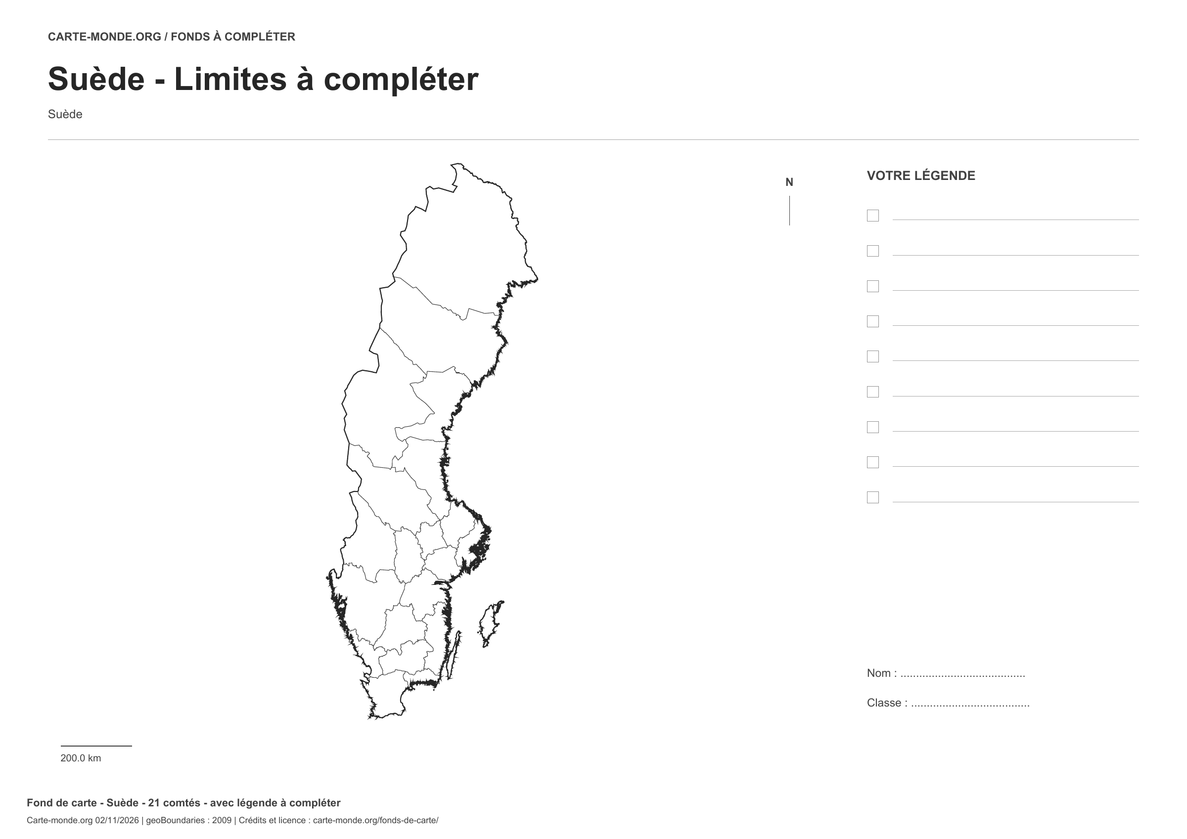
Sweden: boundaries with space for a legend, base map without names

Model 2 · November 2026 edition

Boundaries with space for a legend

Divisions shown: 21 counties. Add names and colors. Space for your legend, name and class.

A4 landscape vector PDF · PNG 2 400 px

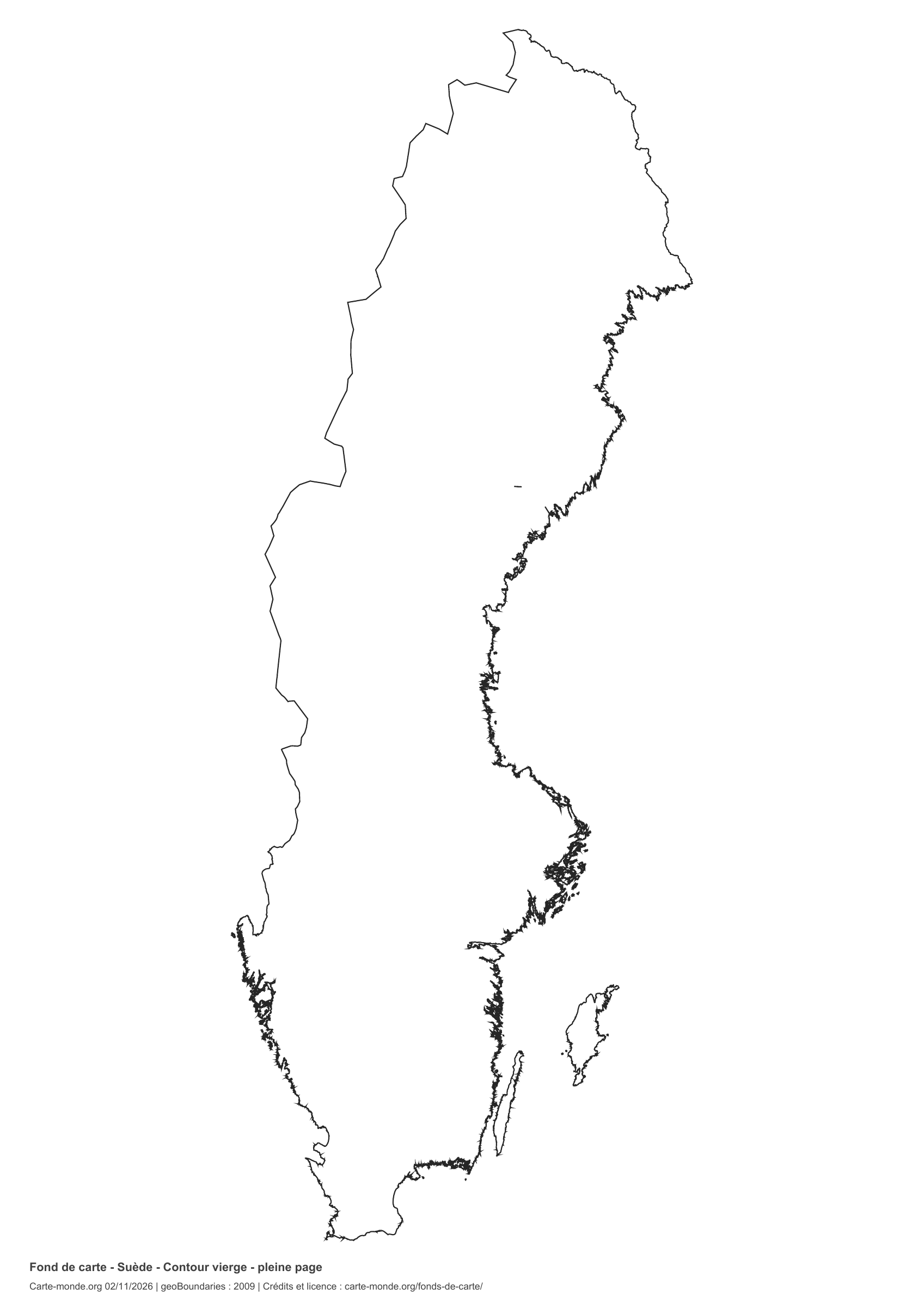
Sweden: full-page outline, base map without names

Model 3 · November 2026 edition

Full-page outline

National outline without names or internal boundaries, to complete freely. The map fills almost the entire sheet; only two reference lines appear at the bottom.

A4 portrait vector PDF · PNG 2 400 px

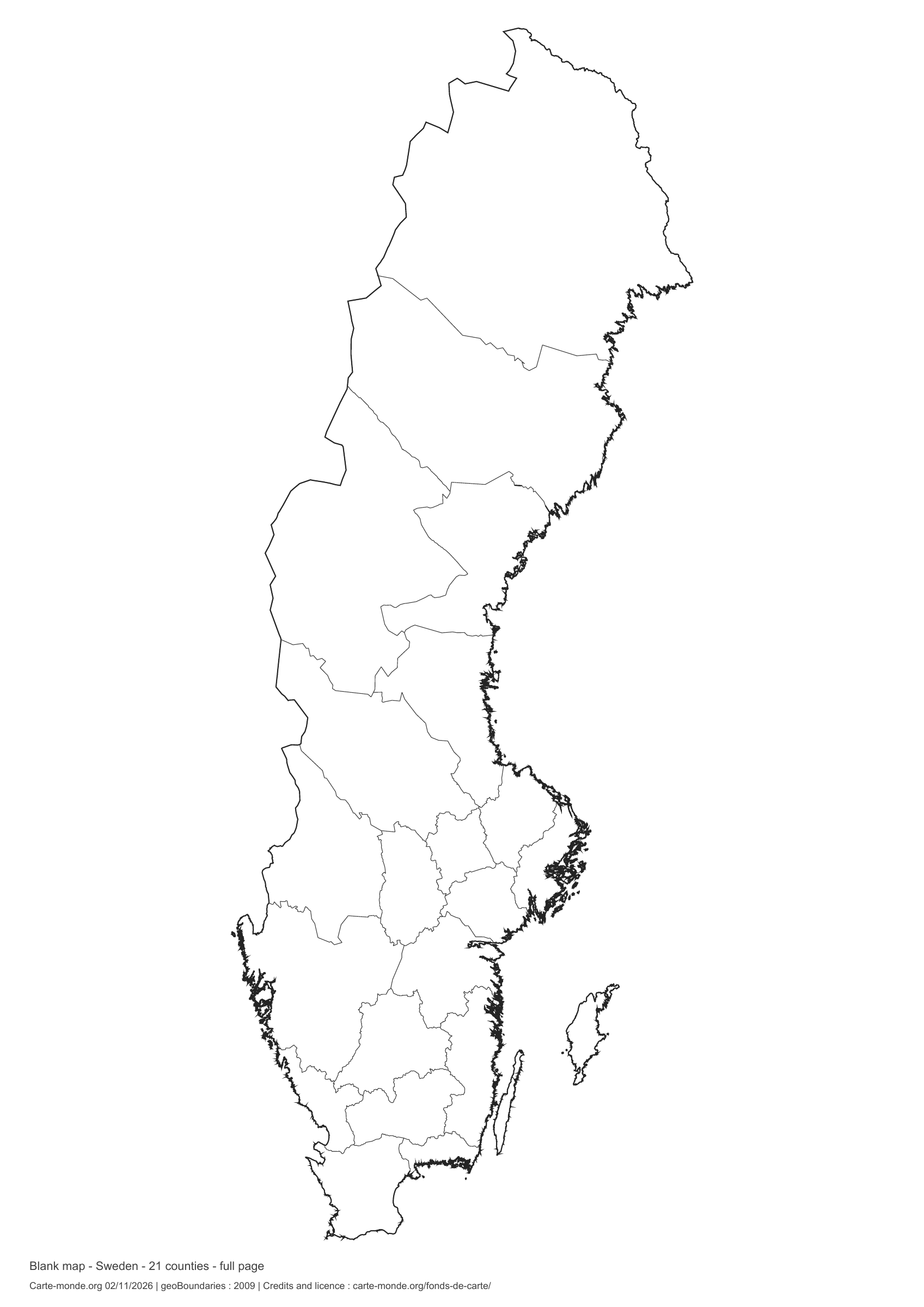
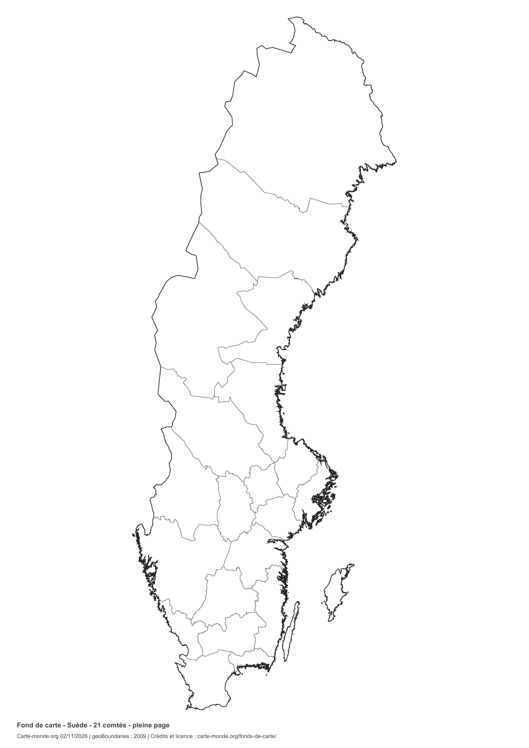
Sweden: full-page boundaries, base map without names

Model 4 · November 2026 edition

Full-page boundaries

Divisions shown: 21 counties. Add names and colors. The map fills almost the entire sheet; only two reference lines appear at the bottom.

A4 portrait vector PDF · PNG 2 400 px

Sweden: outline with neighbouring countries, base map without names

Model 5 · November 2026 edition

Outline with neighbouring countries

National outline without names or internal boundaries, to complete freely. Surrounding countries are shown with light outlines, without names or colour fills.

A4 portrait vector PDF · PNG 2 400 px

Sweden: boundaries with neighbouring countries, base map without names

Model 6 · November 2026 edition

Boundaries with neighbouring countries

Divisions shown: 21 counties. Add names and colors. The outlines of surrounding countries appear as light lines, without names or color fills.

A4 portrait vector PDF · PNG 2 400 px

The six-base-map pack

The six templates in PDF, PNG and editable SVG, with credits and reuse terms.

Download the six base maps — ZIP

Which base map should I choose?

The outline is suitable for freehand sketches: add a capital, cities or rivers. The version with boundaries lets you color or name the units shown in the divisions. Full-page versions enlarge the country and save ink. The last two maps add neighboring countries for location exercises.

Geographical names are deliberately omitted. Any inset titles indicate only their coverage and individual scales.

Maps of Sweden: labelled maps and original collection.

Download and print

  1. Open the PDF for a sharp printout; choose the PNG for a document or presentation.
  2. Print on an A4 sheet using the file’s orientation. Use “Fit to page” if your printer requires it.
  3. Any insets use different scales from the main map. Retain the source notes at the bottom of the sheet.

To edit the outlines, open the pack’s SVG in a vector editor. These generalised maps are intended for exercises and presentations.

Sources and reuse

Geometries: geoBoundaries gbOpen, 2009. Primary source: geoBoundaries, Erik Frohne. License stated in metadata: Creative Commons Attribution 3.0 License. View the source metadata.

Neighbouring country outlines: Natural Earth 5.1.1, public domain. Layout by Carte-monde.org, 2 November 2026 edition, under CC BY 4.0. The data retain their attributions and licences; consult the ZIP notes before reuse.

Example credit: Carte-monde.org, edition of 2 November 2026 — geoBoundaries / geoBoundaries, Erik Frohne.

Continue exploring

Maps of Sweden · Maps of European countries · Other maps and archives

Original French files