World relief

Map labels and downloadable files remain in their original language, often French.

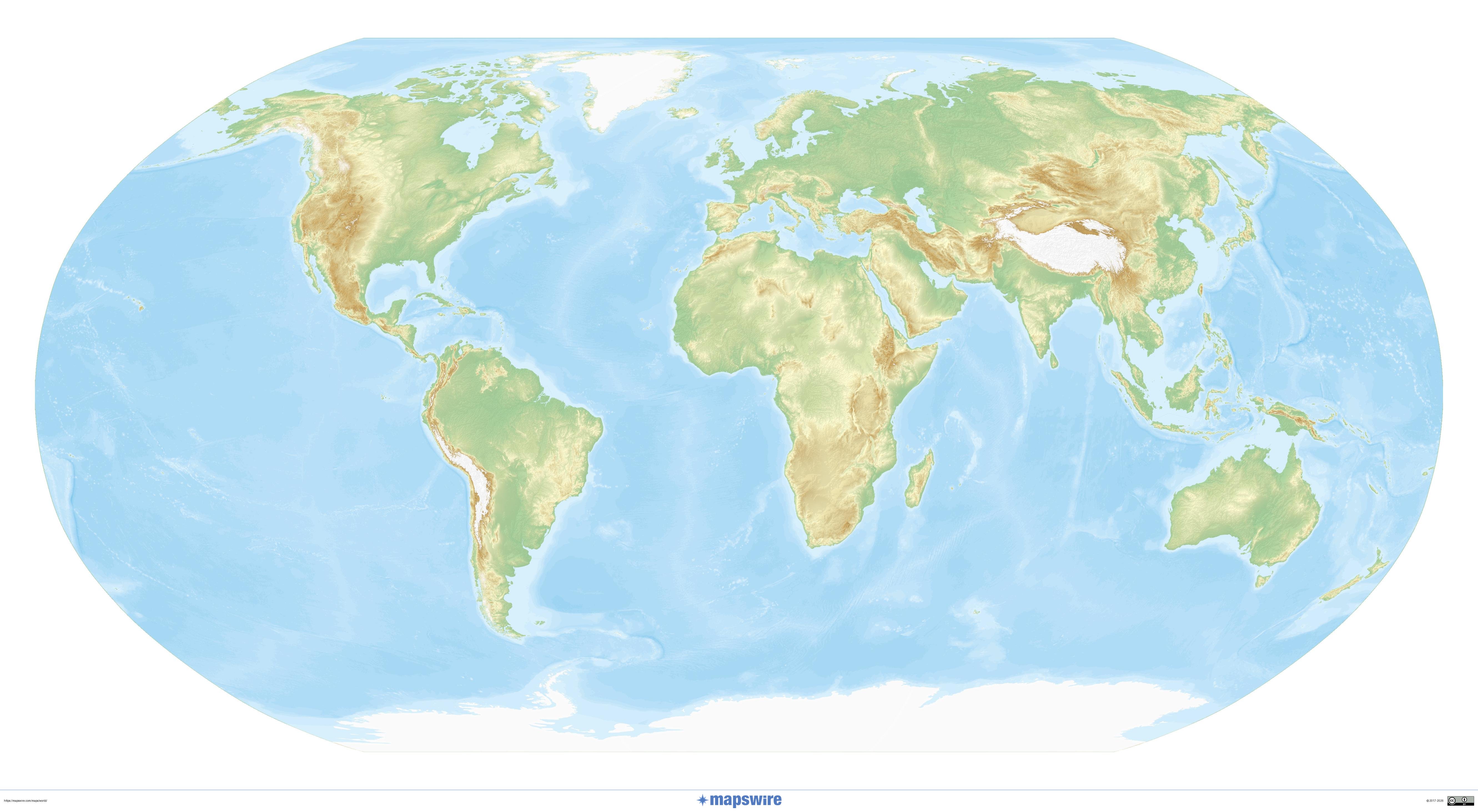
World relief map from the collection

World relief map from the collection

Click the preview to view the image at its original size.

Downloadable maps
relief of the planet 3000 x 1500 large world relief map 10000 x 5000

High-resolution relief and topography

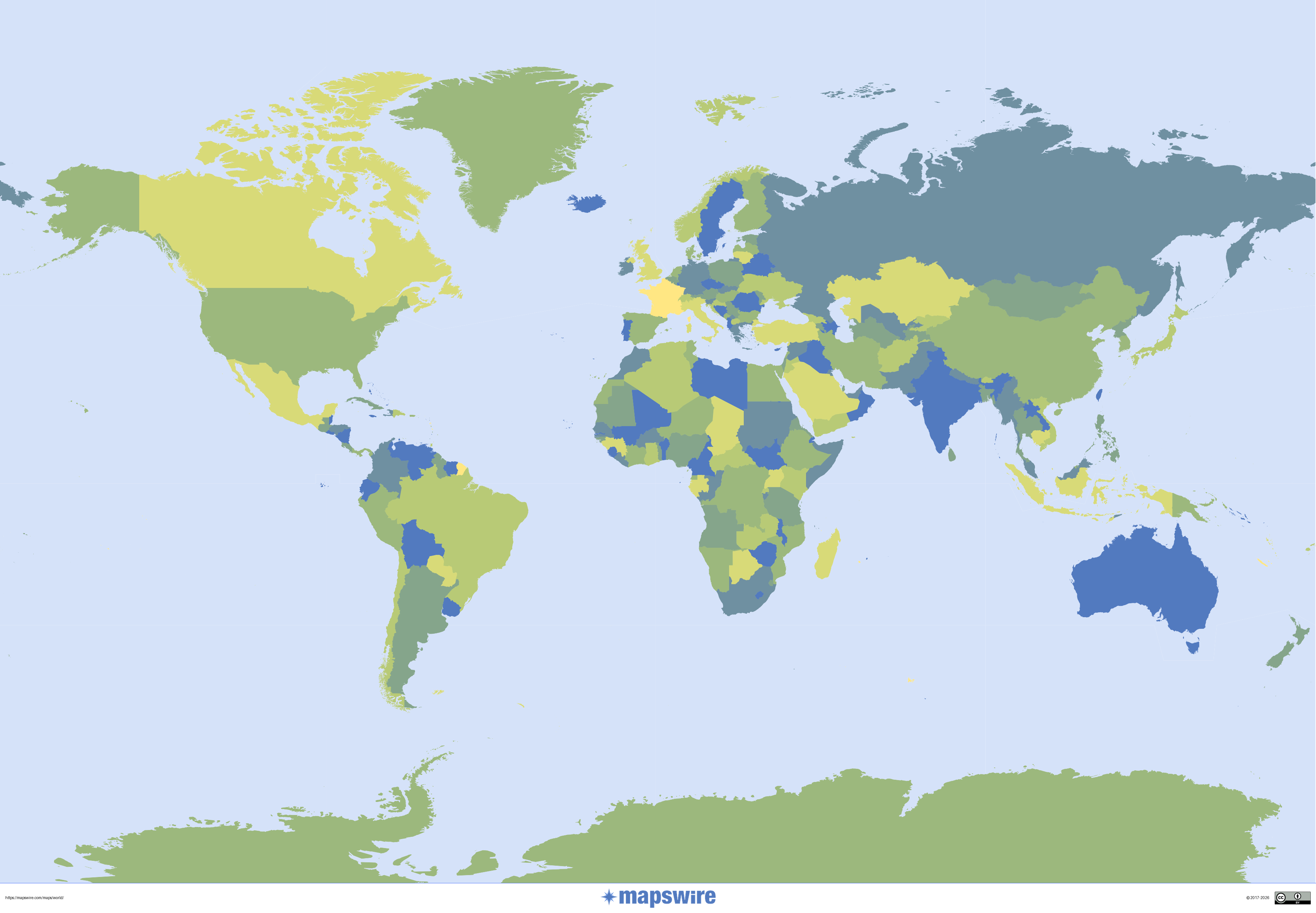
Physical world map in the Robinson projection

Physical world map in the Robinson projection

Shaded relief on a compromise projection commonly used in atlases.

Mapswire · CC BY 4.0.

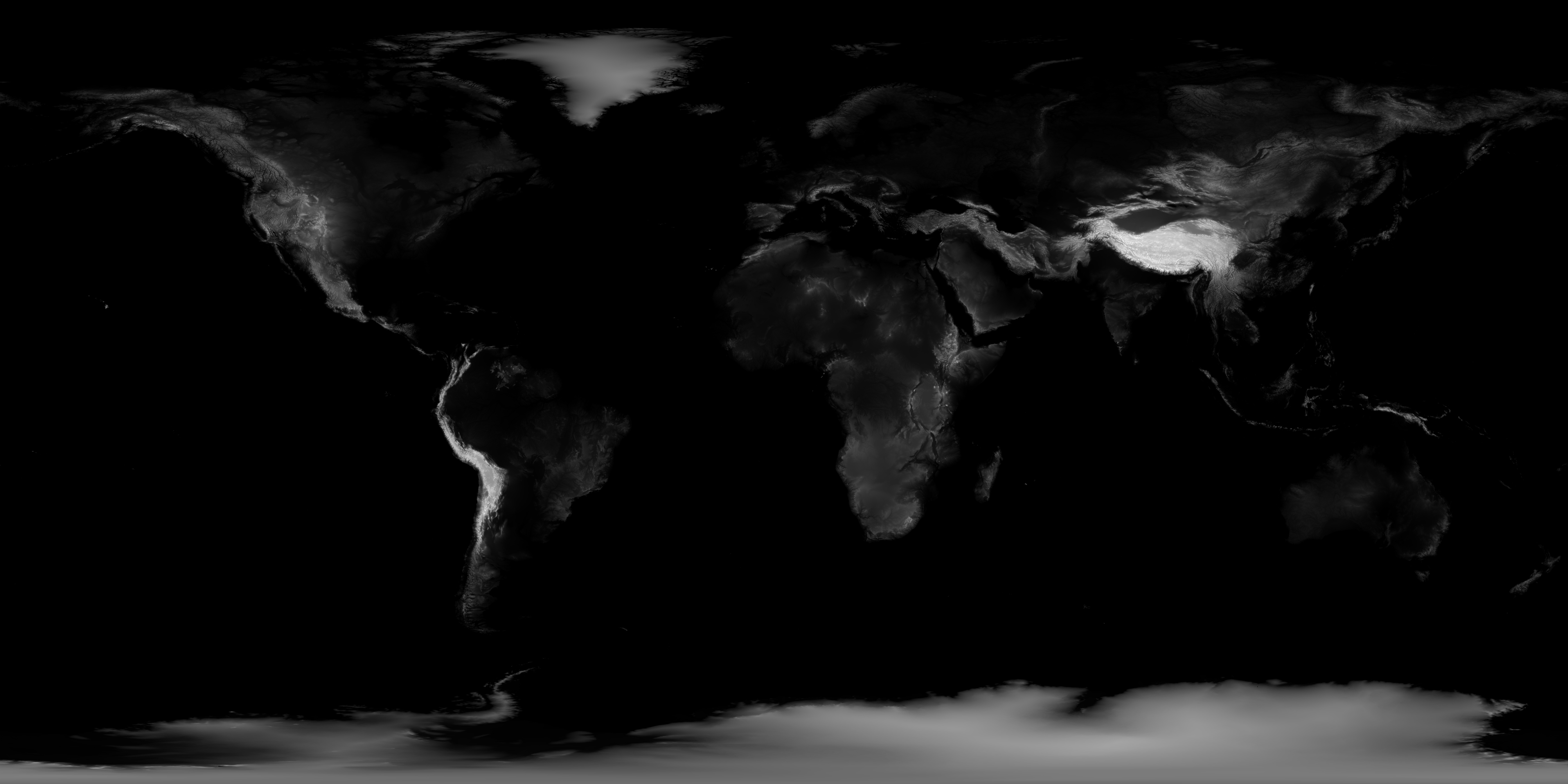
World shaded topography

World shaded topography

The Earth’s major landforms stand out on this shaded map. NASA also provides an original 21 600 pixels wide.

NASA Earth Observatory / Jesse Allen, GEBCO data · NASA terms of use.

Previous collection — original files preserved
Downloadable maps
Terrain world map 3000 x 1500 10000 x 5000

World map

Map labels and downloadable files remain in their original language, often French.

The world map from the collection

The world map from the collection

Click the preview to view the image at its original size.

Downloadable maps
planisphere-4000 4000 x 2000 planisphere-800 800 x 400

Compare world map projections

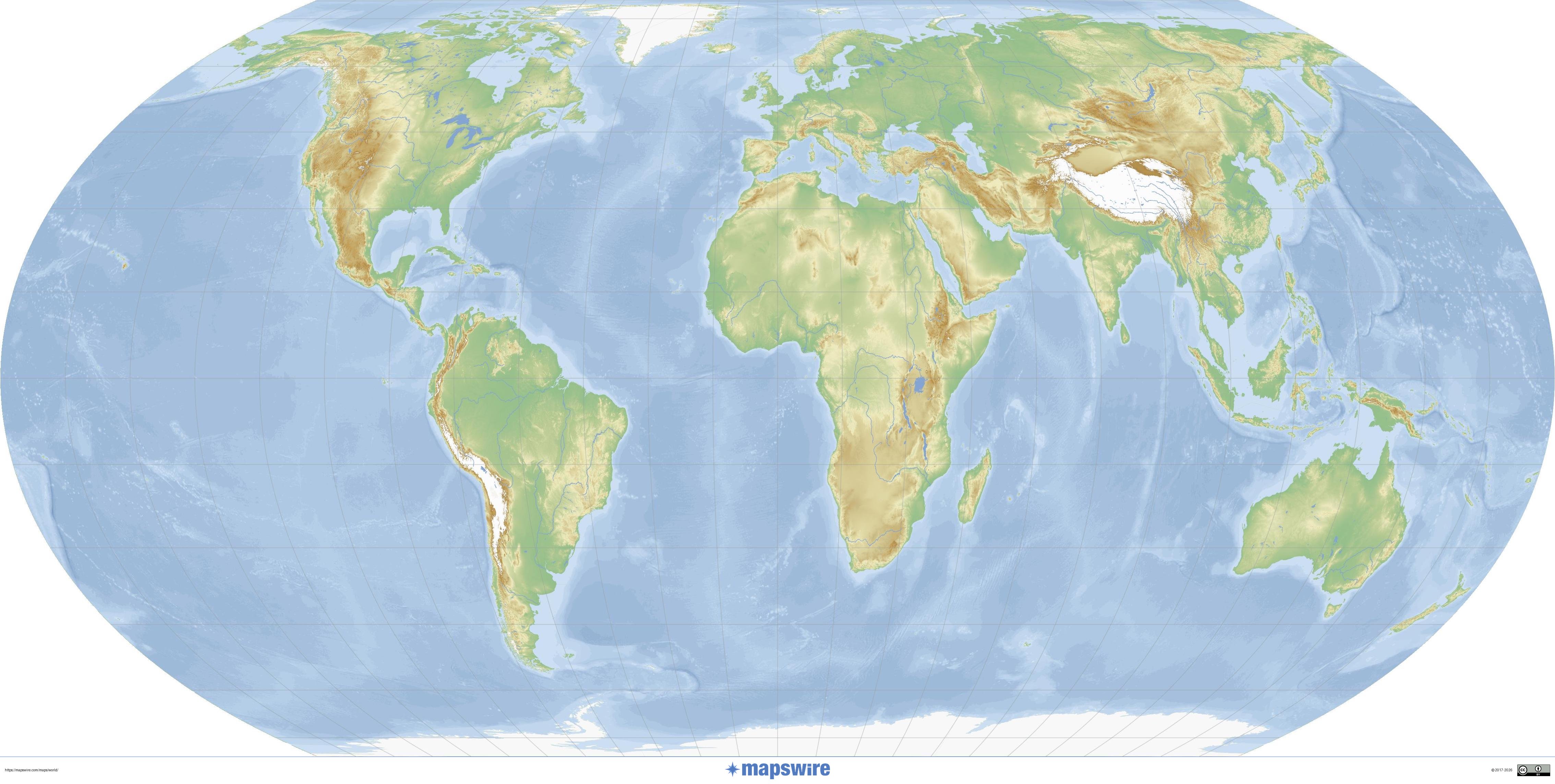
Physical world map in the Robinson projection

Physical world map in the Robinson projection

Shaded relief on a compromise projection commonly used in atlases.

Mapswire · CC BY 4.0.

Physical world map in the Equal Earth projection

Physical world map in the Equal Earth projection

Projection preserving the relative areas of regions.

Mapswire · CC BY 4.0.

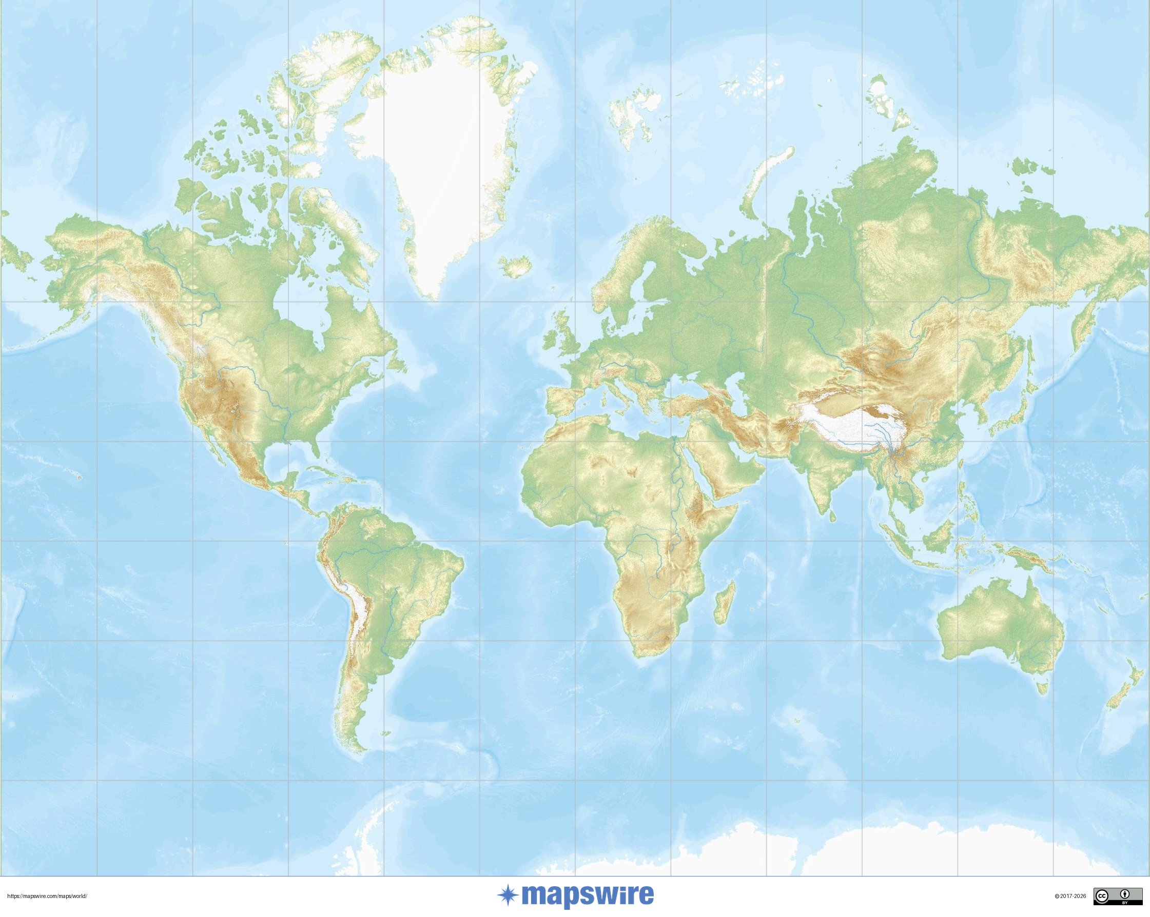
Physical world map in Mercator projection

Physical world map in Mercator projection

The grid shows how high-latitude regions become enlarged in this projection.

Mapswire · CC BY 4.0.

Other thematic world maps

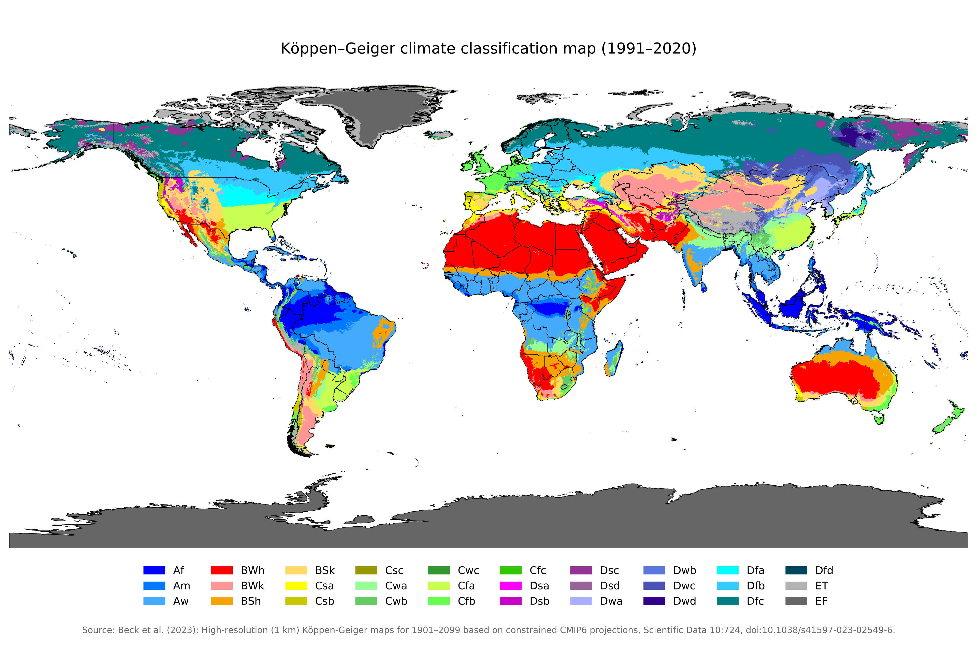
World climates according to Köppen–Geiger

World climates according to Köppen–Geiger

Climate classification for 1991–2020, based on temperature and precipitation.

Beck et al. (2023), DOI 10.1038/s41597-023-02549-6 · CC BY 4.0.

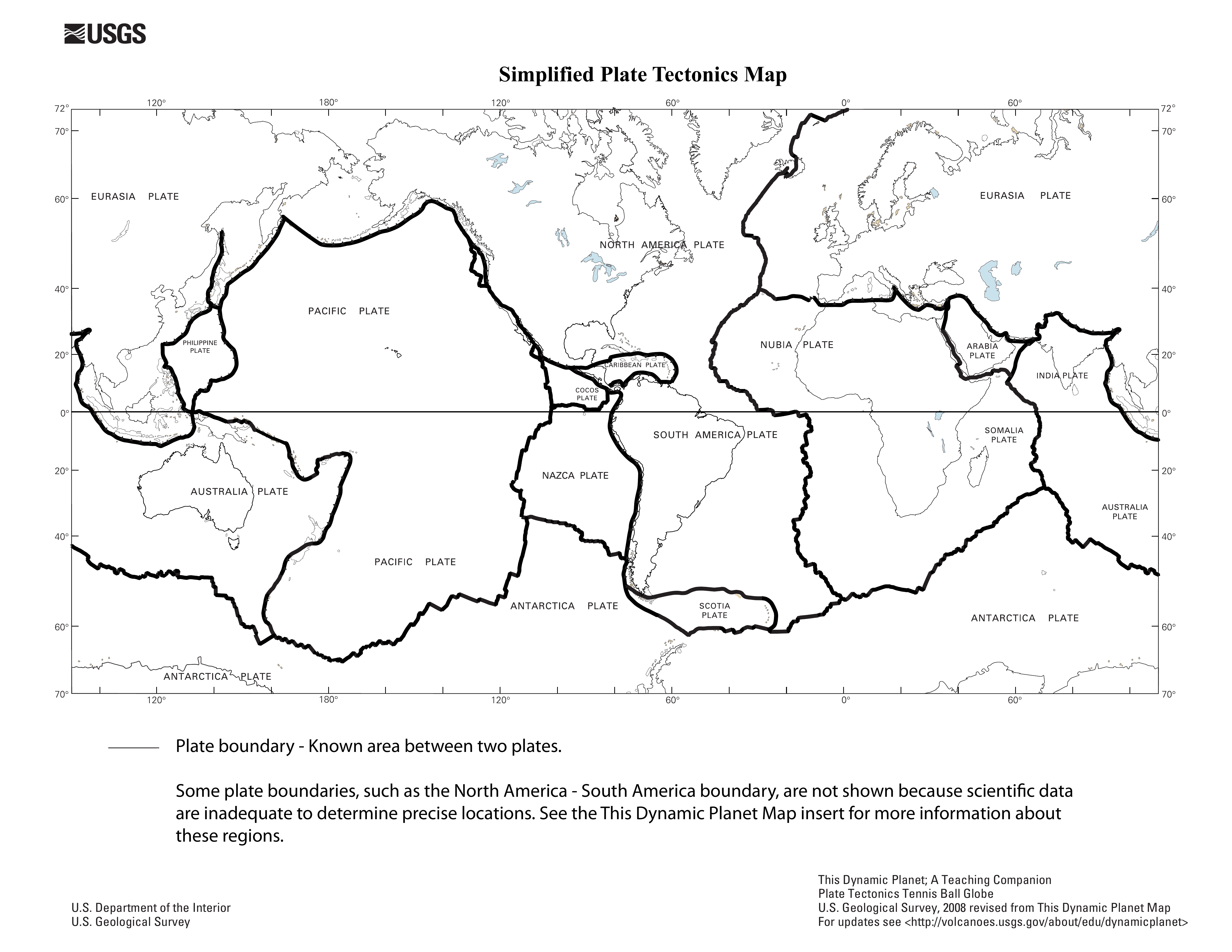
The world’s tectonic plates

The world’s tectonic plates

USGS educational map, 2008 edition. It locates the major plates and their boundaries.

U.S. Geological Survey · Public domain.

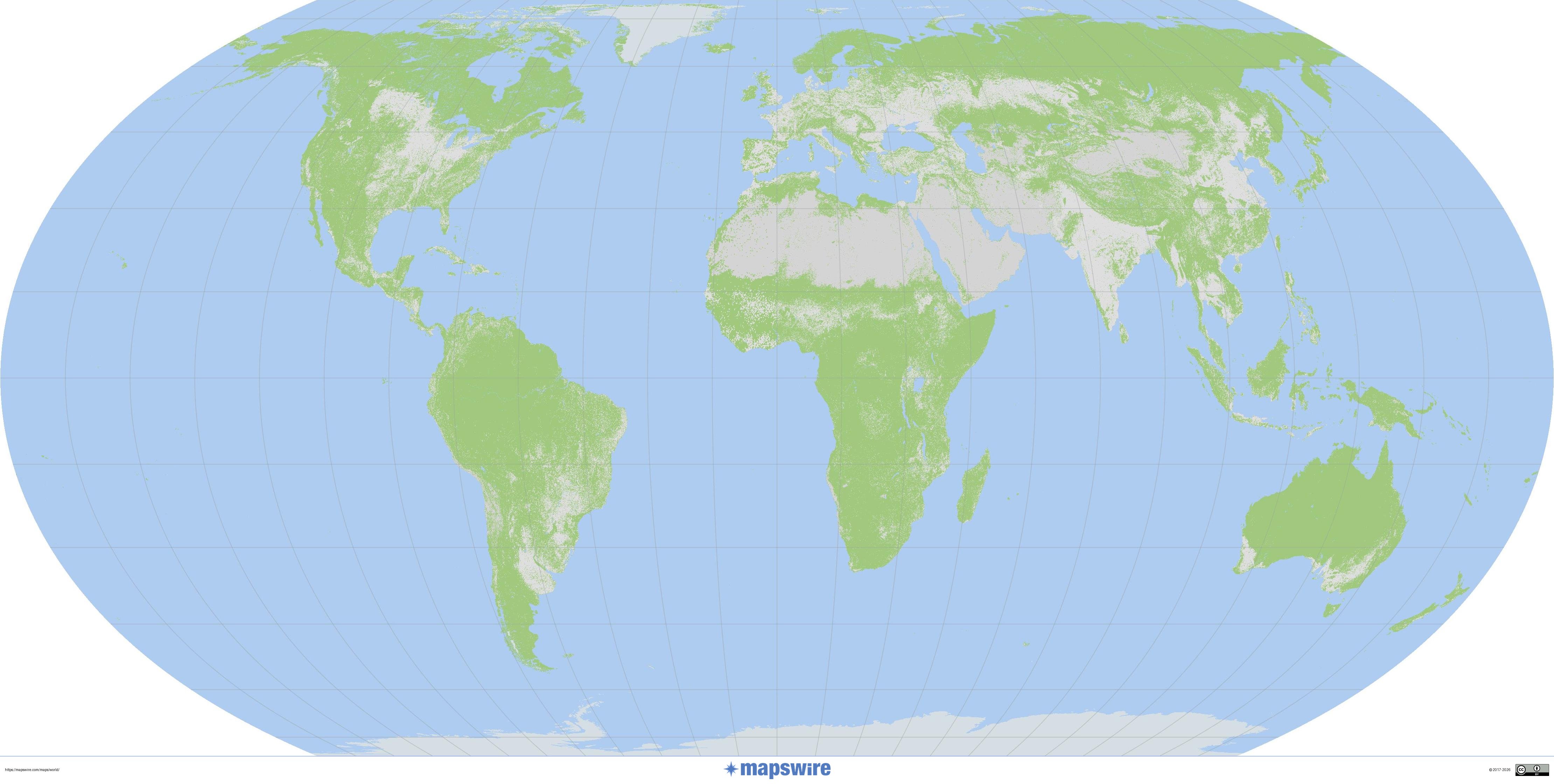
World land cover

World land cover

A world map of land cover, in Equal Earth projection.

Mapswire · CC BY 4.0.

Previous collection — original files preserved
Downloadable maps
world map 4000 4000 x 2000 world map-800 800 x 400

Printable blank world map

WORLD · 4 BLANK MAPS

Choose a blank world map to prepare a sketch, locate the continents or add your own markers. The four maps below are available free of charge at their original size.

Map labels and downloadable files remain in their original language, often French.

Choose your blank map

Each button opens the map’s image file directly. The dimensions shown correspond to the original files provided.

Blank world map to complete

GIF · 1 425 × 625 px

Blank world map

An overview map for placing your own markers and building a key.

Open the GIF map
Blank world map in the Robinson projection

JPG · 1 063 × 530 px

World — Robinson projection

Another representation of the globe for studying the shape and position of the continents.

Open JPG map
Blank world map in polar view

GIF · 927 × 616 px

Polar-view world map

An additional view to observe the world from a pole.

Open the GIF map
Blank world map in Bertin projection

JPG · 1 050 × 733 px

World — Bertin projection

Compare this representation with other world maps to choose your resource.

Open JPG map

Which blank map should I choose?

For a general sketch map, start with an overview world map. To compare representations of the Earth, use the Robinson, Bertin and polar versions. A projection transforms the globe’s surface into a flat image, so continents look different from one map to another.

Save, then print

  1. Click “Open GIF map” or “Open JPG map” below the chosen preview.
  2. Save the original image to your device.
  3. For wide maps, preferably choose landscape orientation, then “Fit to page” in the print settings.

These files are raster images: substantial enlargement may make outlines less sharp. Use the original file rather than a screenshot of the thumbnail.

Sources and reuse

This selection contains four files from the site’s historical collection, published in September 2016. The publication date does not guarantee that the boundaries shown are up to date. Source and licence information for these four files still needs to be completed before any reuse requiring documented rights.

Continue your search

Blank maps of France · All blank maps · World maps · Political world maps

Four blank world maps in the Equal Earth projection. Print in A4 landscape and choose coastlines or borders, with space for your key or full-page coverage.

Four blank maps to complete

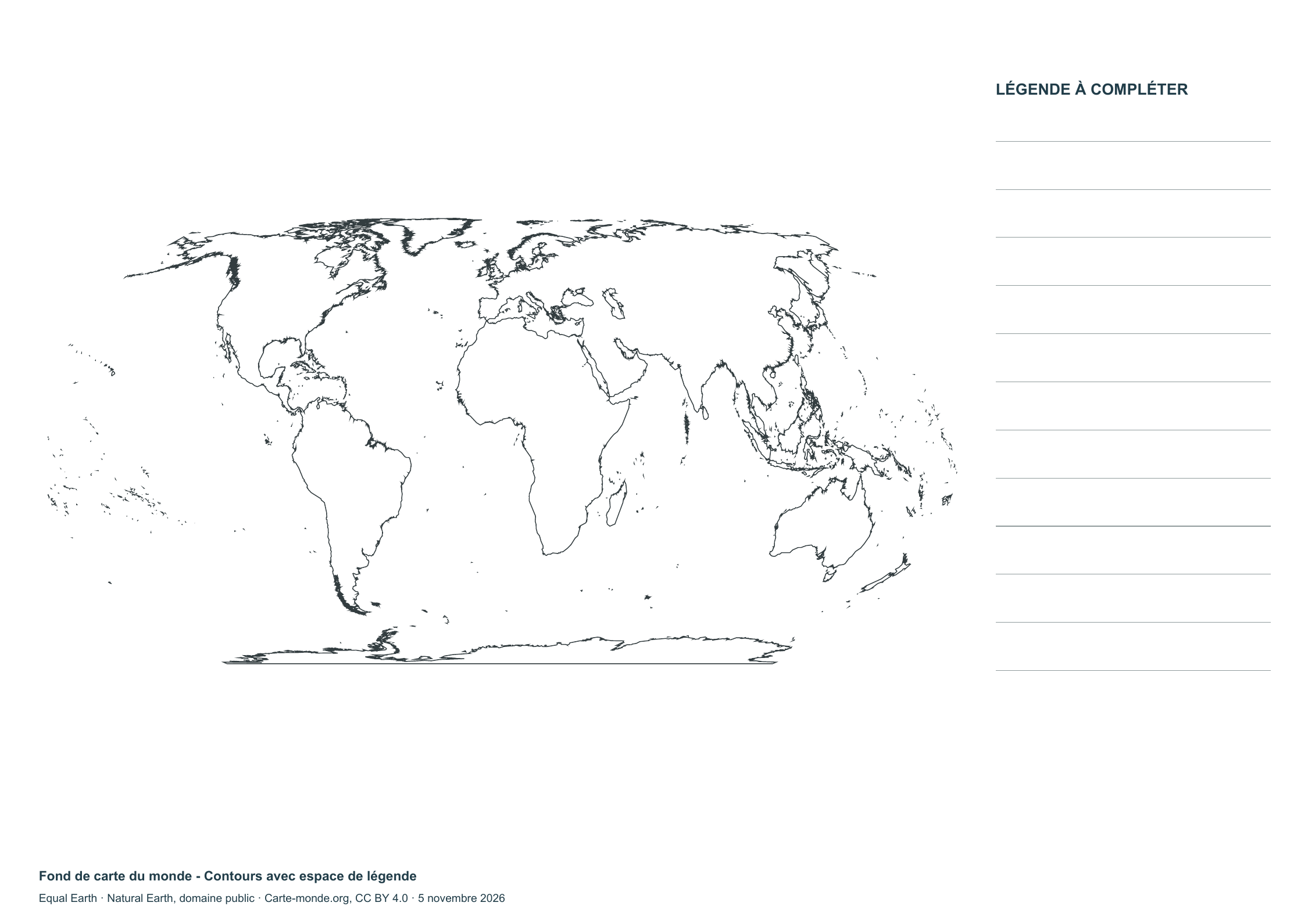
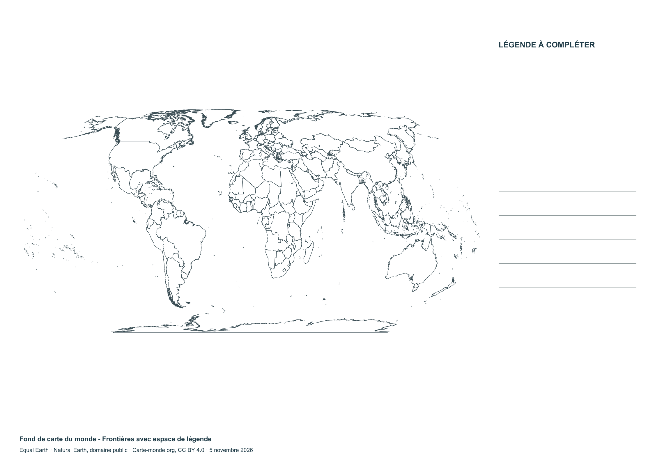
Blank world map — Outlines with space for a legend

Blank world map — Outlines with space for a legend

Blank map with white background and fine lines for printing and annotation.

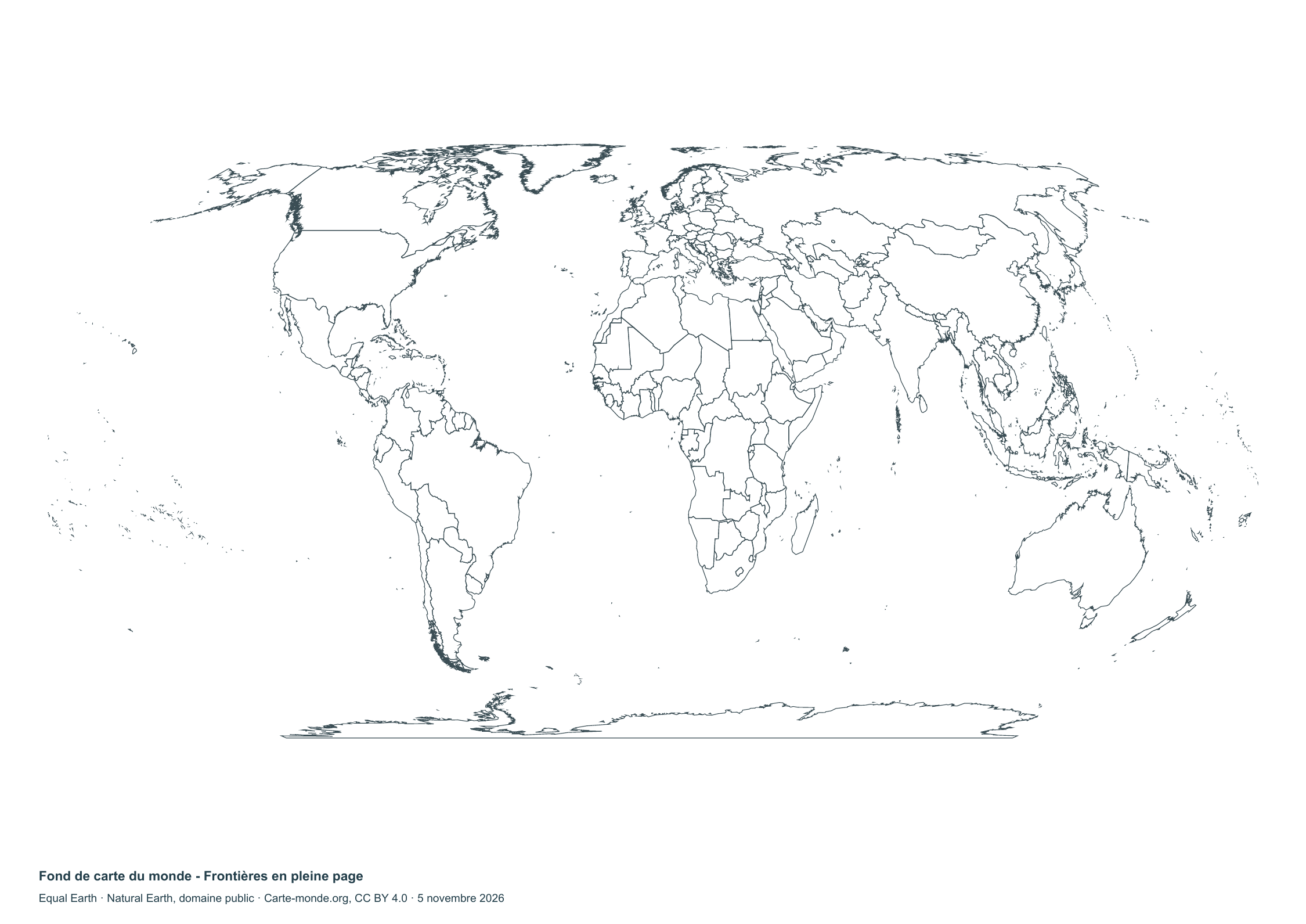
Blank world map - Borders with space for a key

Blank world map – Borders with space for a key

Blank map with white background and fine lines for printing and annotation.

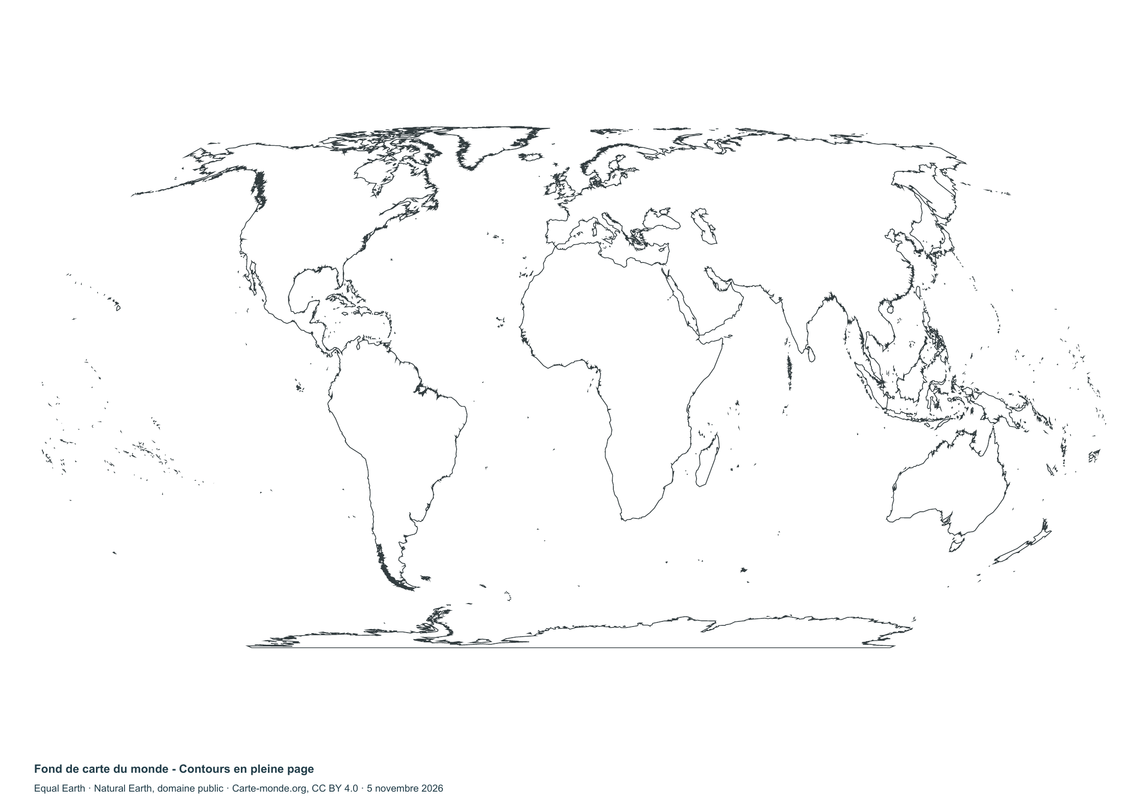
Blank world map - Full-page outlines

Blank world map – Full-page outlines

Blank map with white background and fine lines for printing and annotation.

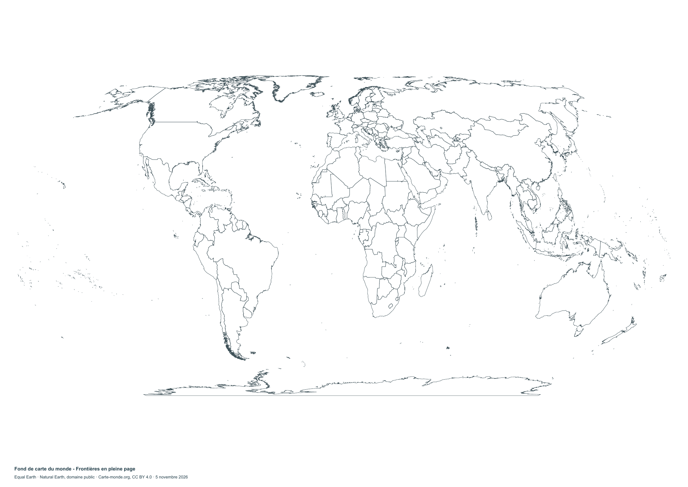
Blank world map - Full-page boundaries

Blank world map – Full-page boundaries

Blank map with white background and fine lines for printing and annotation.

Complete collection

PDF, PNG, SVG and source documentation.

Download the ZIP pack

Base map and names Natural Earth, public domain. Layout CC BY 4.0.

Blank maps to print in A3 and other projections

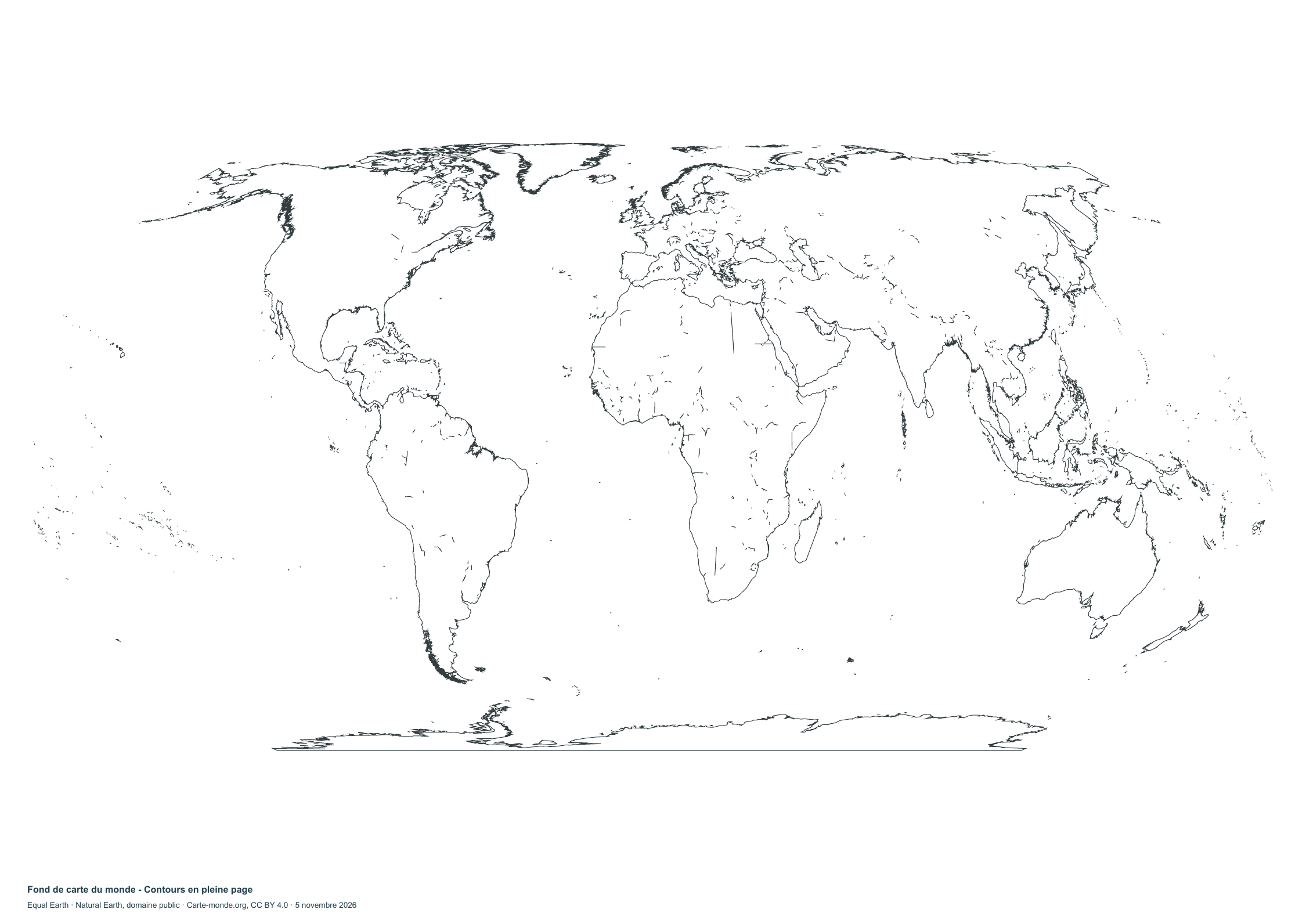
Blank world map - Full-page outlines

Blank world map – Full-page outlines

White background in landscape A3, designed for annotation and large-format printing.

Blank world map - Full-page boundaries

Blank world map – Full-page boundaries

White background in landscape A3, designed for annotation and large-format printing.

Download the PDF, PNG and SVG pack

Cartography Carte-monde.org · CC BY 4.0. Blank map Natural Earth, public domain.

Blank world map in Miller projection

Blank world map in Miller projection

Unlabelled borders to download for your sketch maps and exercises.

Mapswire · CC BY 4.0.

Previous collection — original files preserved
Downloadable maps
blank map world1425 × 625  robinson -blank map world1063 × 530
 planisphere-blank map world927 × 616  bertin - blank map world 1050 × 733