
The extent includes North America, Central America and the Caribbean, as well as Greenland. Hawaii and the Aleutians west of the 180th meridian are outside the map.
Map labels and downloadable files remain in their original language, often French.
Four blank maps to complete
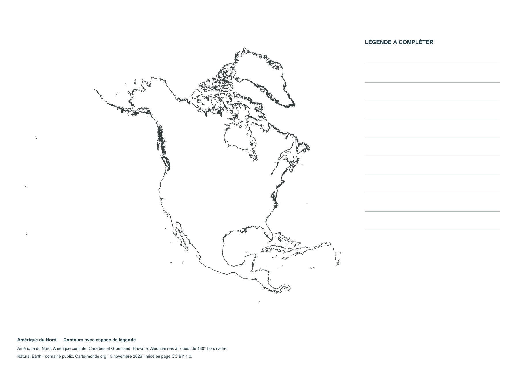
North America — Outlines with space for a key
Blank map to print and complete.
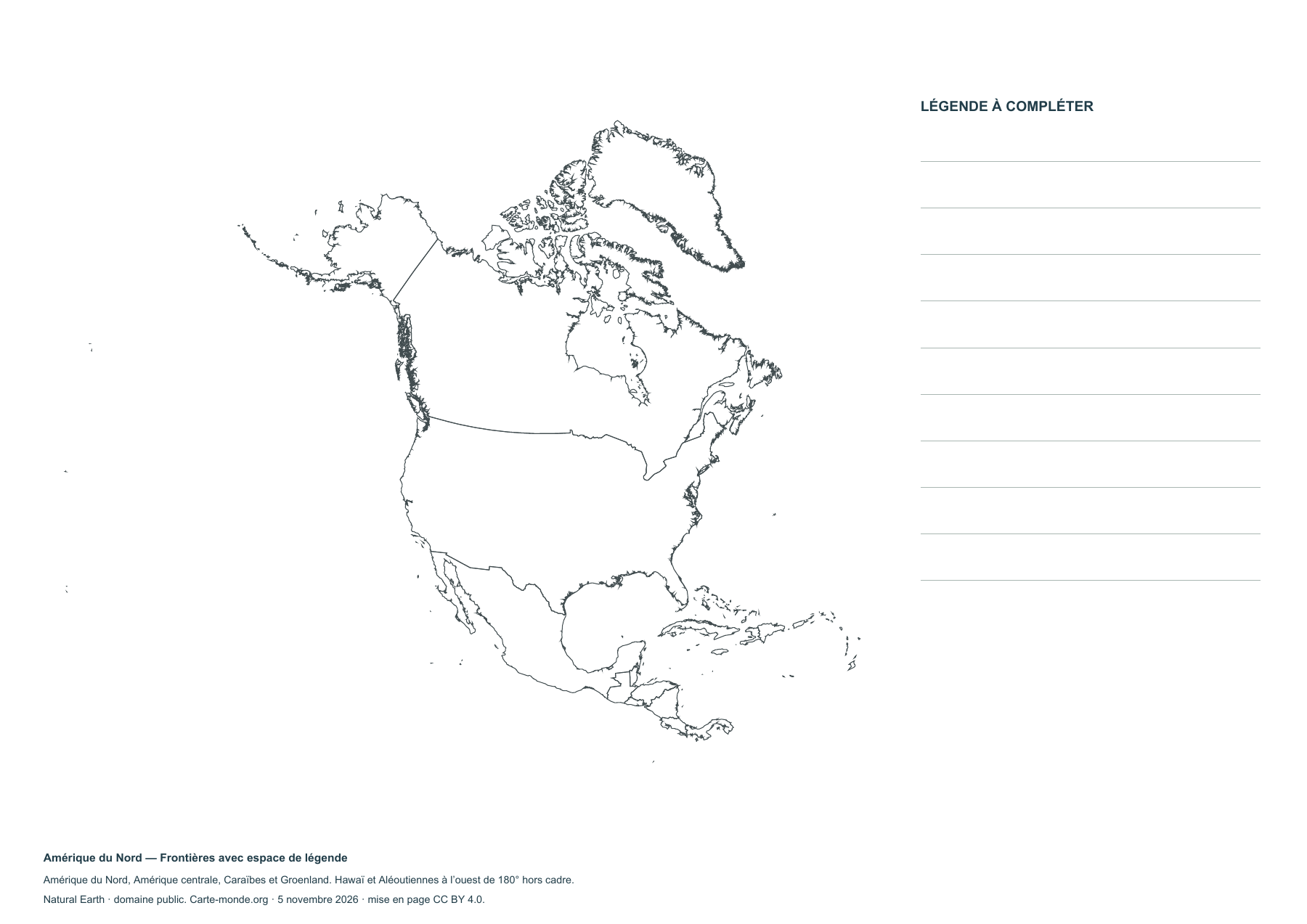
North America — Boundaries with legend space
Blank map to print and complete.
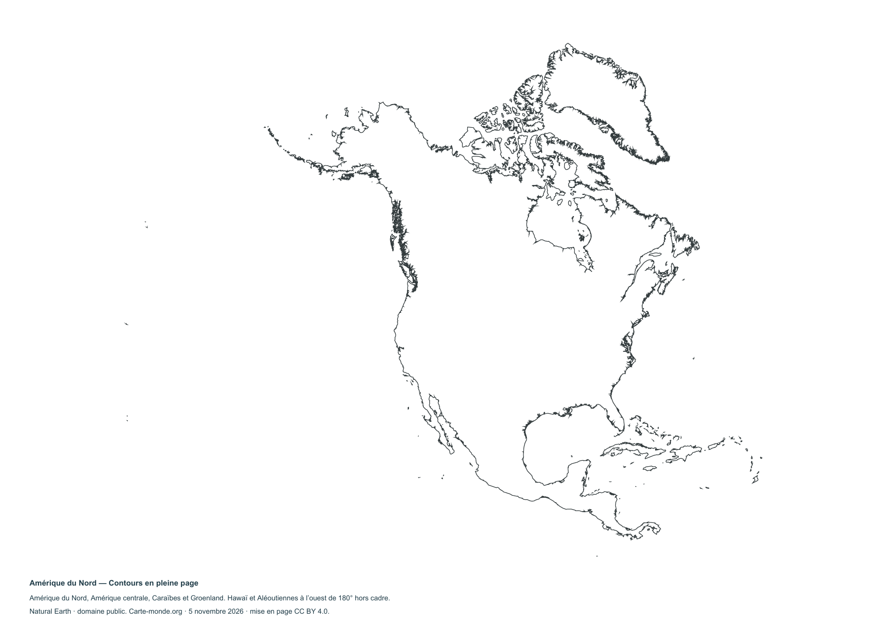
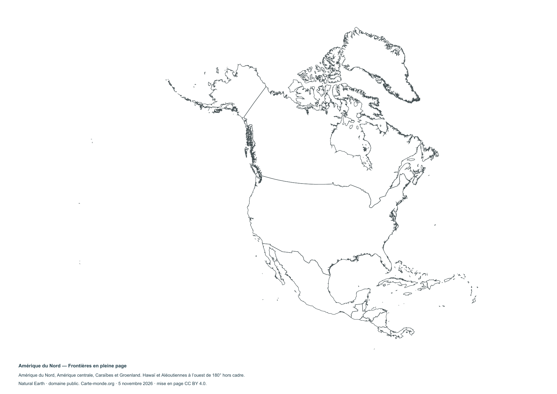
Carte-monde.org collection
A4 PDF, PNG, SVG and source documentation.
Download the ZIP packSources and reuse
Boundaries, terrain and hydrography: Natural Earth, public domain. Population: GHS-POP R2023A, © EU/JRC, 2020 estimates, CC BY 4.0. Layout: Carte-monde.org under CC BY 4.0. Generalized boundaries follow the cartographic reference dataset.


