
Egypt, Turkey, Iran, the Levant and the Arabian Peninsula. Generalised reference boundaries.
Map labels and downloadable files remain in their original language, often French.
Four blank maps to complete
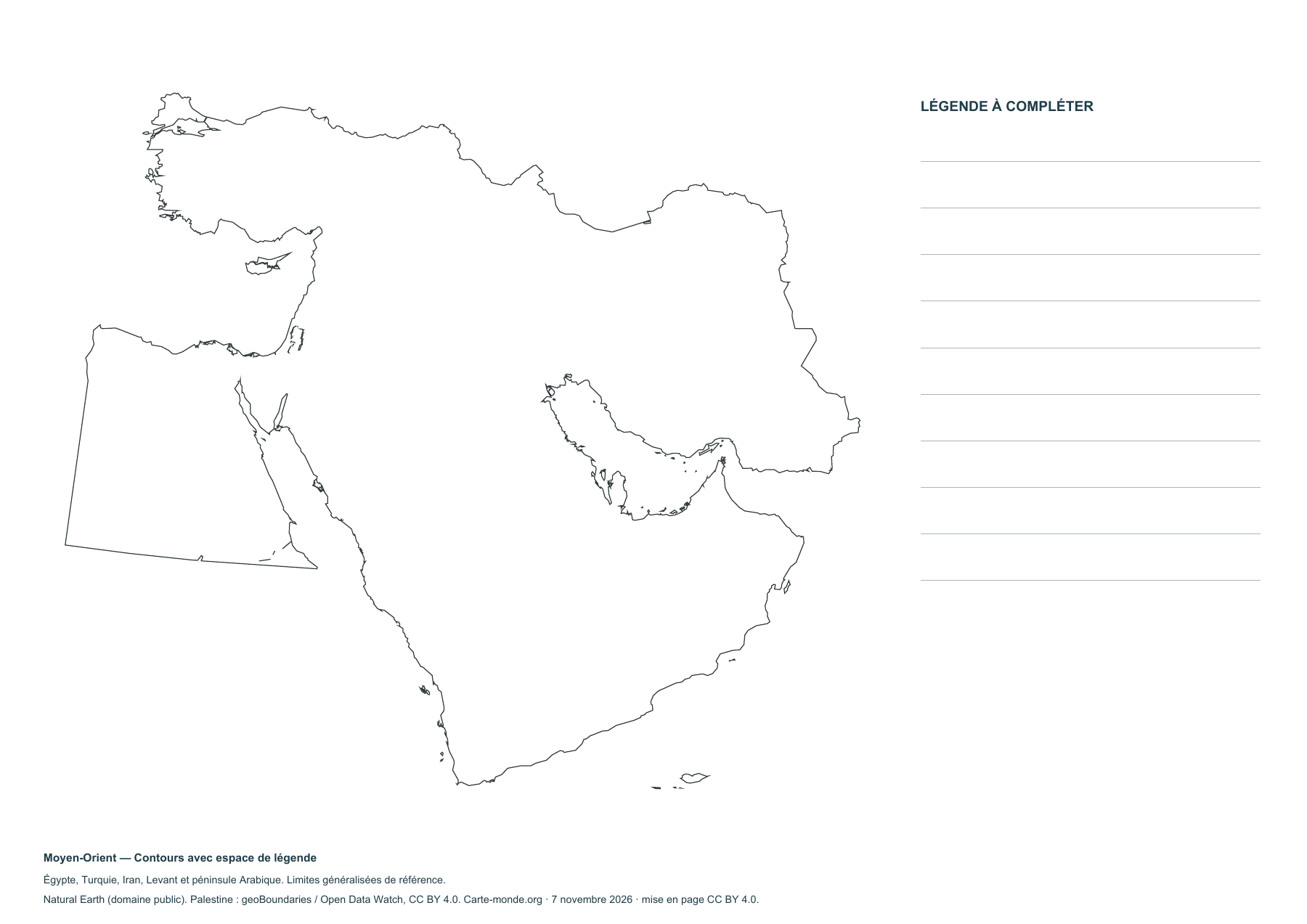
Middle East — Outlines with space for a key
Blank map to print and complete, with outlines only or borders.
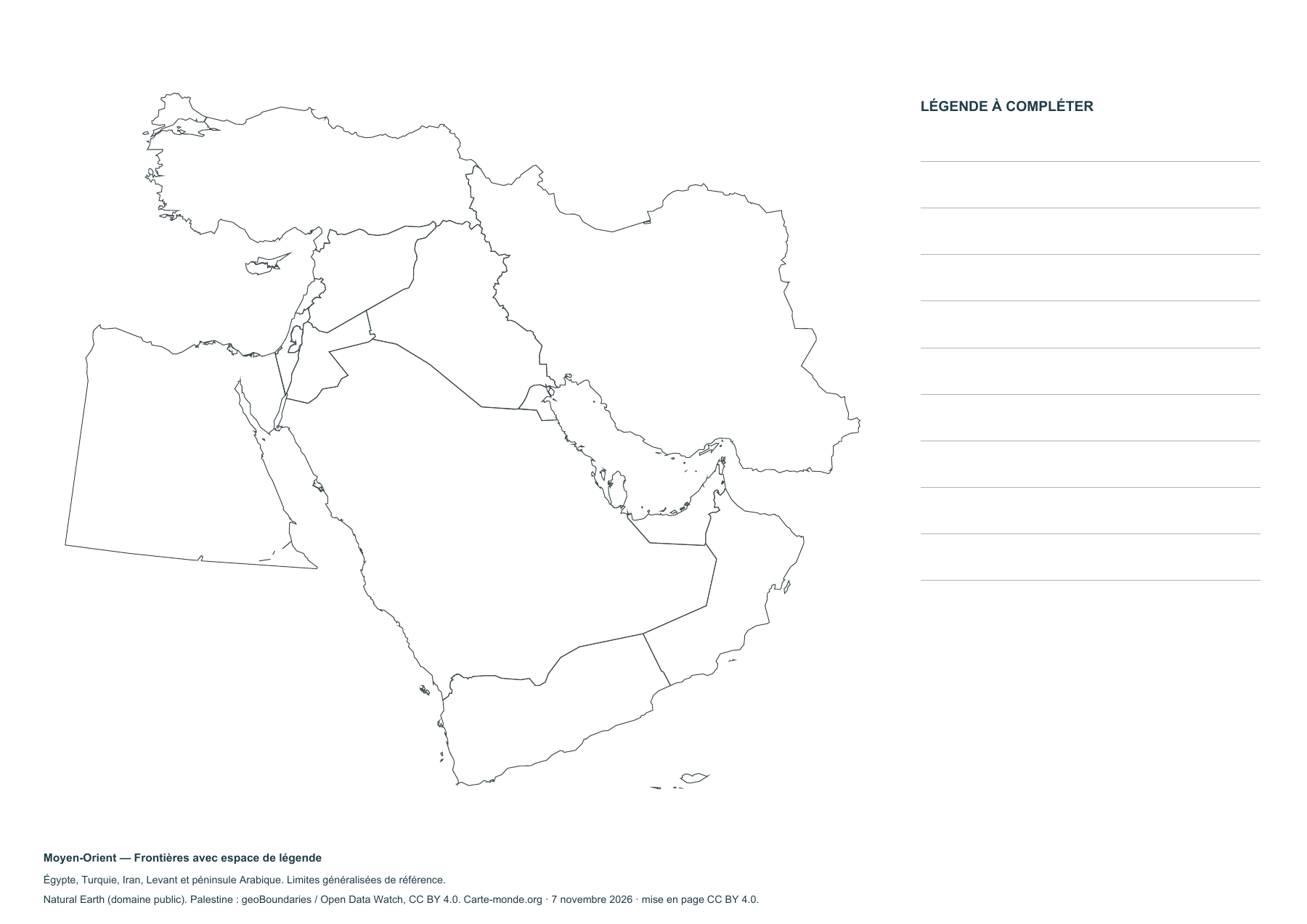
Middle East — Borders with space for a legend
Blank map to print and complete, with outlines only or borders.
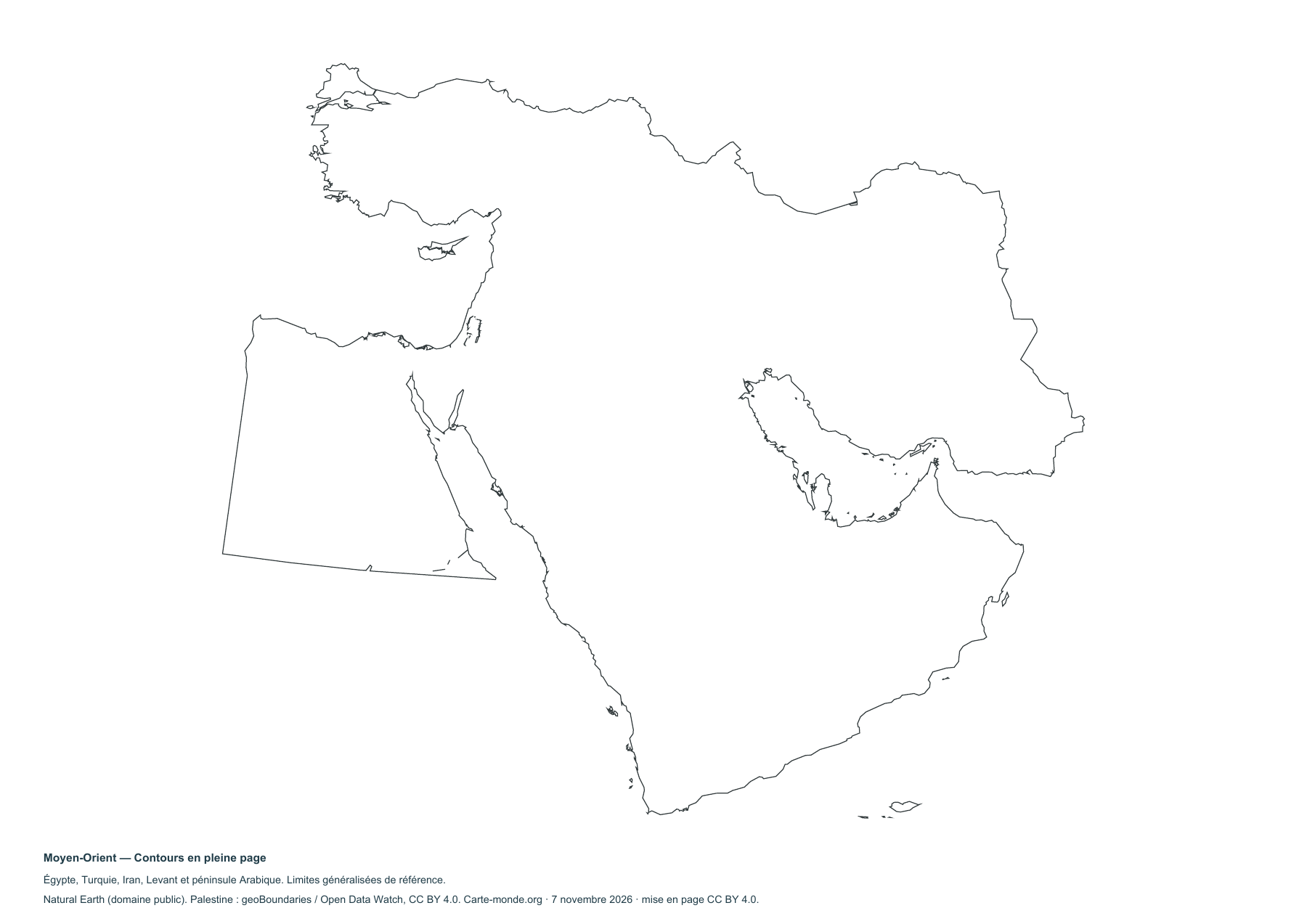
Middle East — Full-page outlines
Blank map to print and complete, with outlines only or borders.
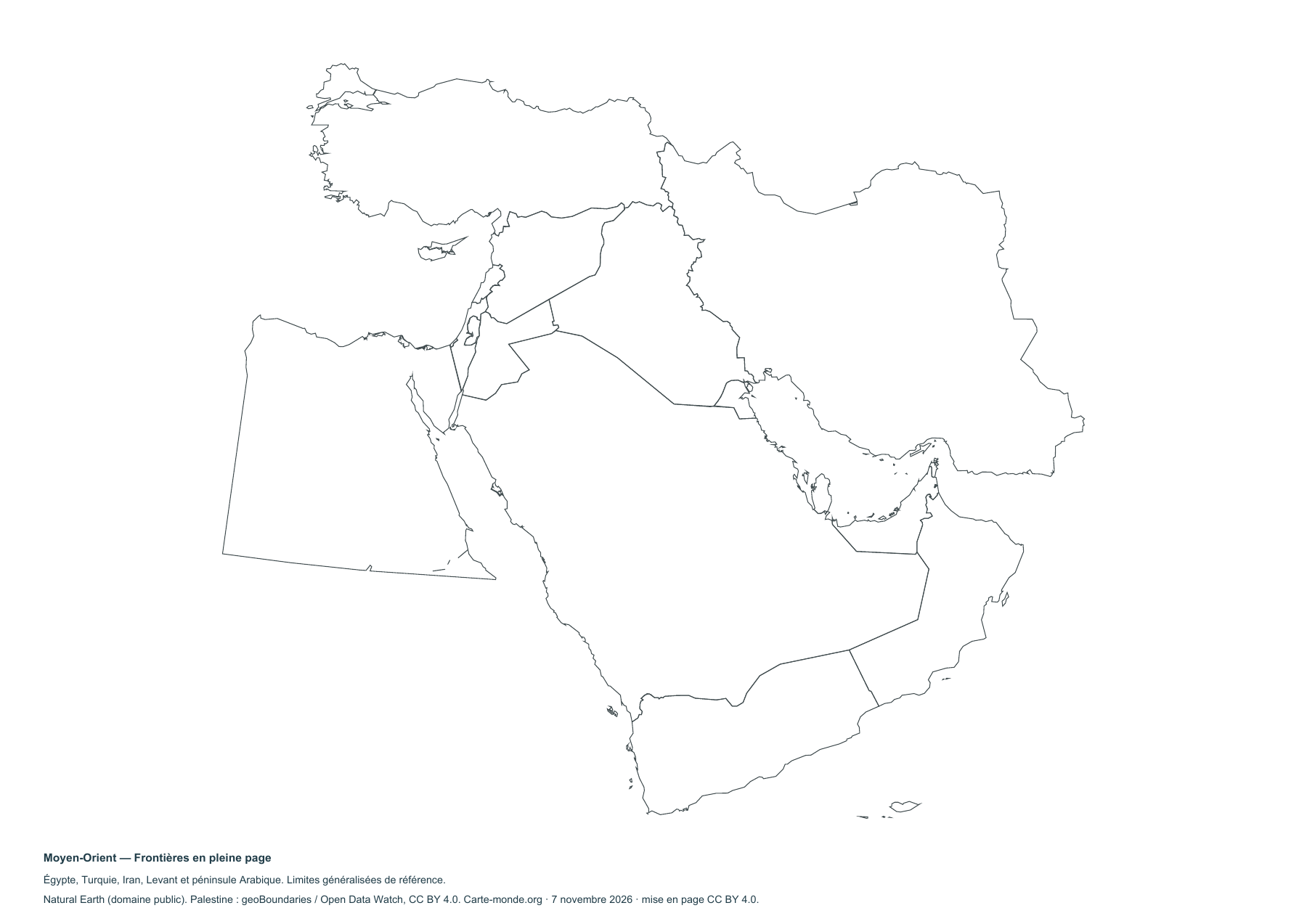
Middle East — Full-page boundaries
Blank map to print and complete, with outlines only or borders.
Pack of four blank maps
A4 PDF, PNG, SVG and source notes.
Download the ZIP packSources and reuse
Boundaries, hydrography and relief Natural Earth, public domain. Population GHS-POP R2023A, © EU/JRC, 2020 estimates. Base maps under CC BY 4.0. Palestinian boundary geoBoundaries / Open Data Watch, 2021 reference, CC BY 4.0. The thematic maps retain the licences stated below each preview. The lines do not show current military control or determine the status of territories.


