
ALGERIA · BLANK MAPS
Six printable blank maps of Algeria: outline and divisions, with space for a key, full-page or with neighbours. A4 PDF and PNG.
Map labels and downloadable files remain in their original language, often French.
Six base maps of Algeria to complete
The division into 69 wilayas was adopted in 2026. OSM outlines are generalised. Administrative implementation is gradual.
Carte-monde.org · November 2026
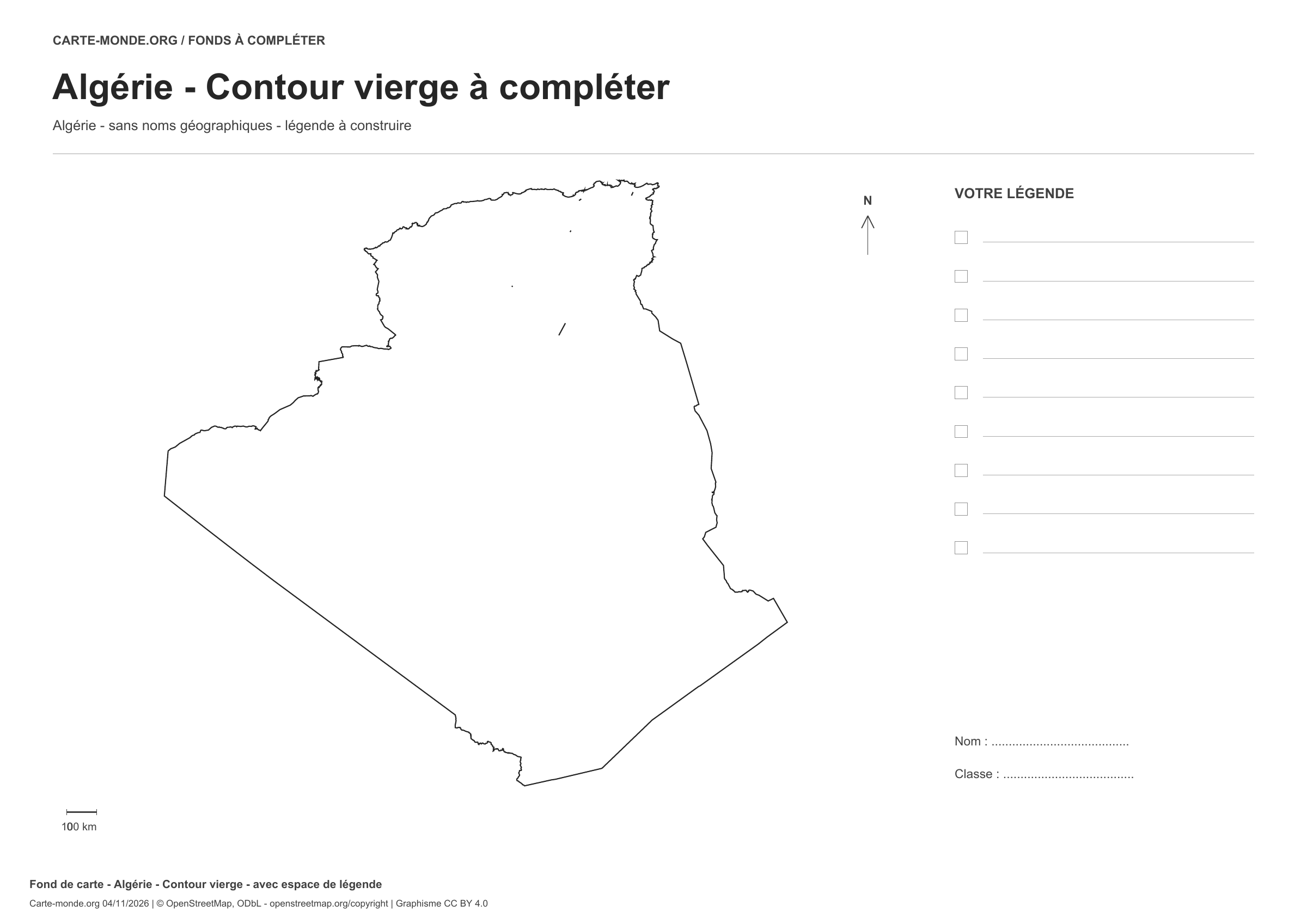
Outline with space for a legend
Outline without internal boundaries. Space for a key.
PDF A4 · PNG · CC BY 4.0
Carte-monde.org · November 2026
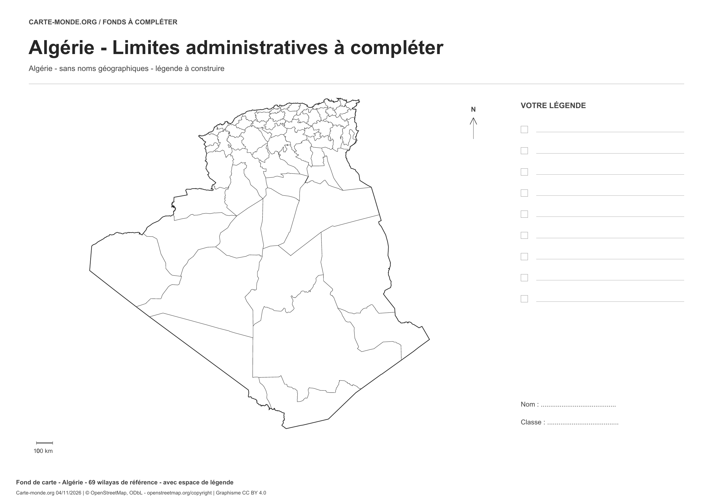
Boundaries with space for a legend
Divisions shown: 69 reference wilayas. Space to create a key.
PDF A4 · PNG · CC BY 4.0
Carte-monde.org · November 2026
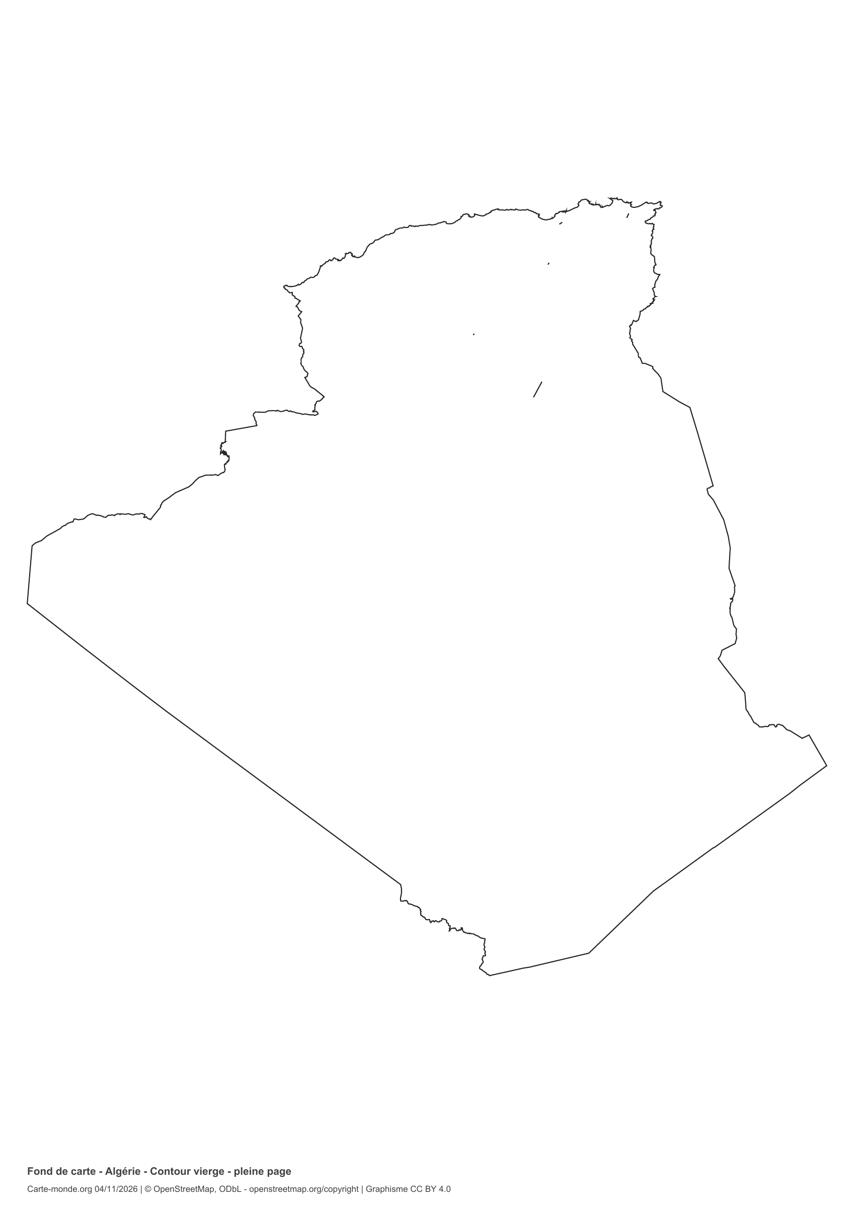
Full-page outline
Outline without internal boundaries. The country fills most of the page, with references at the foot.
PDF A4 · PNG · CC BY 4.0
Carte-monde.org · November 2026
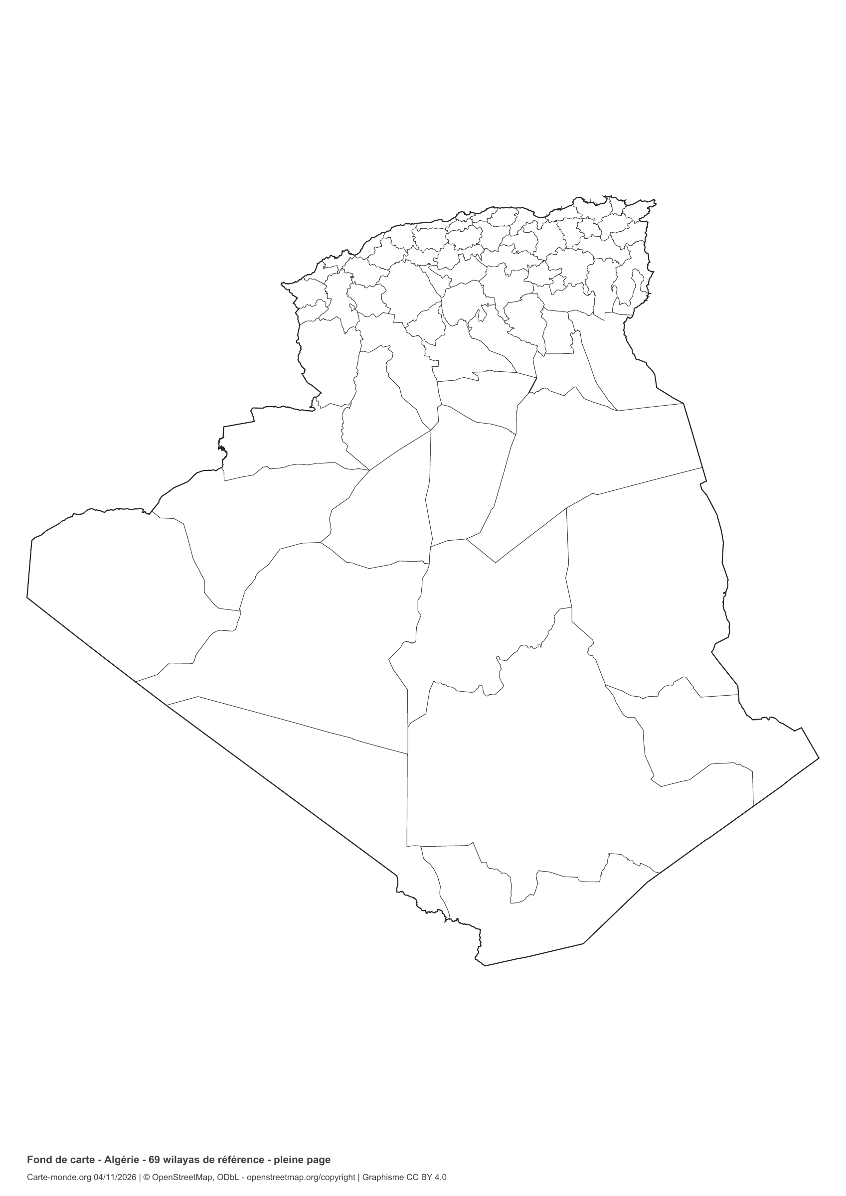
Full-page boundaries
Divisions shown: 69 reference wilayas. The country fills most of the page, with references at the bottom.
PDF A4 · PNG · CC BY 4.0
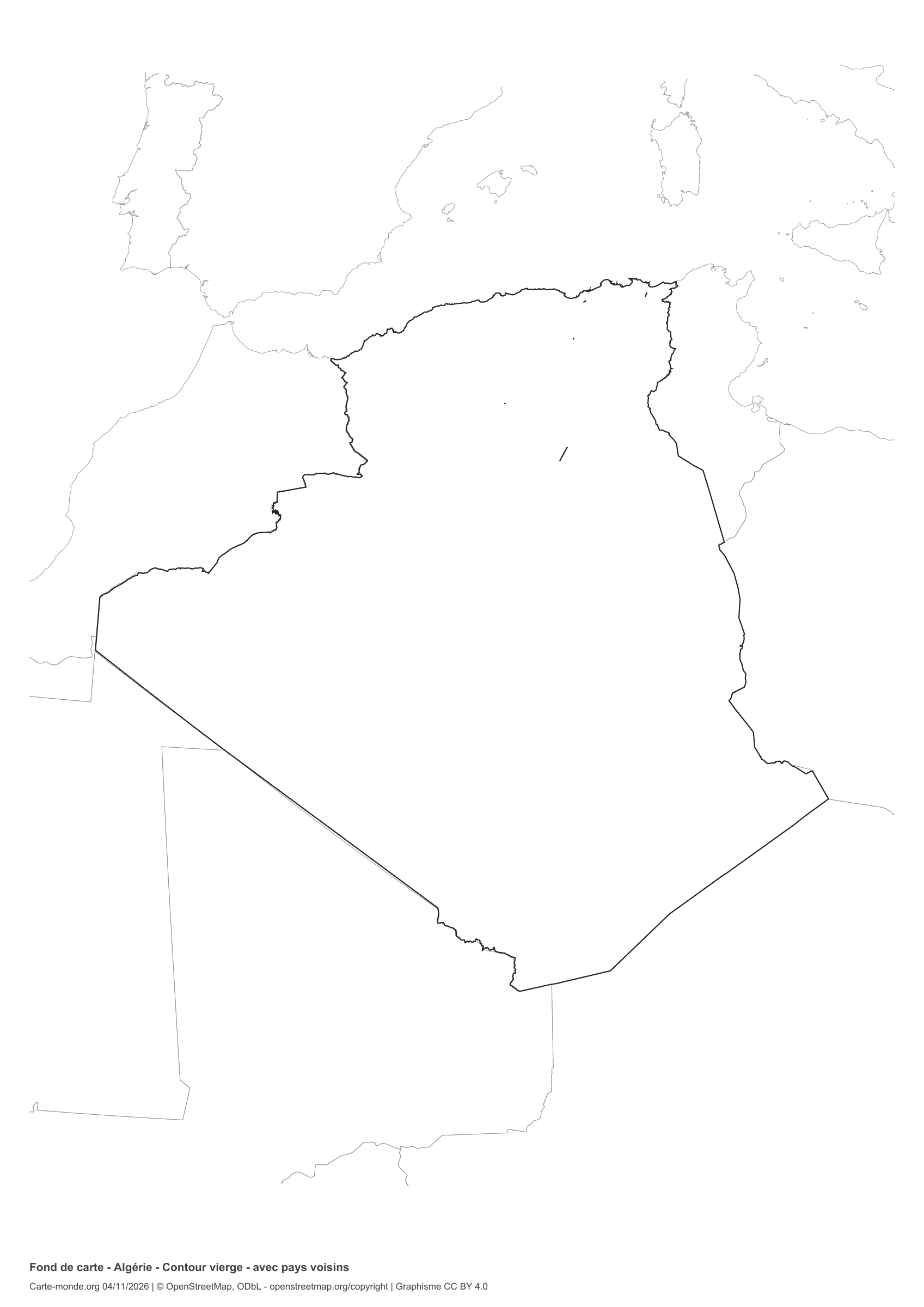
Carte-monde.org · November 2026
Outline with neighbouring countries
Outline without internal boundaries. Neighbours have thin outlines, without labels or fill.
PDF A4 · PNG · CC BY 4.0
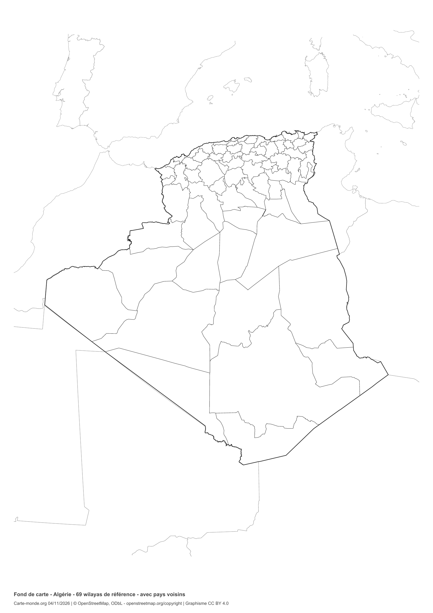
Carte-monde.org · November 2026
Boundaries with neighbouring countries
Divisions shown: 69 reference wilayas. Neighbours are drawn with thin outlines, without labels or fill.
PDF A4 · PNG · CC BY 4.0
The six-base-map pack
PDF, PNG, SVG, sources and licences.
Choose and print a blank map
Use the outline for a free sketch, the divisions to label or colour territories, the full-page map for a larger country outline and the map with neighbours for location exercises. Print the A4 PDF in its original orientation with “Fit to page”. Insets have their own scales. Keep source credits.
Sources, reference years and reuse
Boundaries and divisions: Contributeurs OpenStreetMap, compilation GeoAlgeria / Yasser’s studio. Licence: Open Data Commons Open Database License 1.0. Source and terms. Reference date: 2026. Boundaries are generalised and do not represent cadastral boundaries or current territorial control.
Coverage: The division into 69 wilayas was adopted in 2026. OSM outlines are generalised. Administrative implementation is gradual.
Cities and context: Natural Earth 5.1.1, public domain. Selection for educational use, without a current population ranking. Capitals with different functions are marked in countries with more than one.
Relief: SRTM15+ / Tozer et al. (2019), via GMT earth_relief_02m, CC BY 4.0. Grid generalised to two arcminutes. Colours show elevation bands in metres.
Population: Schiavina et al. (2023), GHS-POP R2023A, residential population estimates 2020, © European Union / JRC, CC BY 4.0. Source grid: 1 km², expressed as people per km². Areas without data are transparent and do not imply zero population. Coverage and resolution may be limited on small islands.
Our new maps: CC BY 4.0. The packs include derived geometries and full credits. Original data licences and rights on earlier maps still apply.
© contributors OpenStreetMap. Derived databases are included and remain licensed under ODbL.


