Printable base maps of France

FRANCE · MAPS TO COMPLETE

Download a blank map of France to add names, colour the regions or draw a sketch map. Choose from six blank maps: two with space for a key and the overseas departments and regions, two full-page metropolitan versions and two ink-saving maps of metropolitan France with neighbouring countries. Corsica is included in metropolitan France.

Our six blank maps have English labels.

Six base maps of France to complete

The first two blank maps include the five overseas departments and regions (DROM) in insets and a legend area. The next two enlarge metropolitan France (mainland and Corsica), without overseas territories or filled areas, and with only two reference lines at the bottom. The maps are simplified for exercises and presentations.
Blank outline of France — map of France

New series · 2026 edition

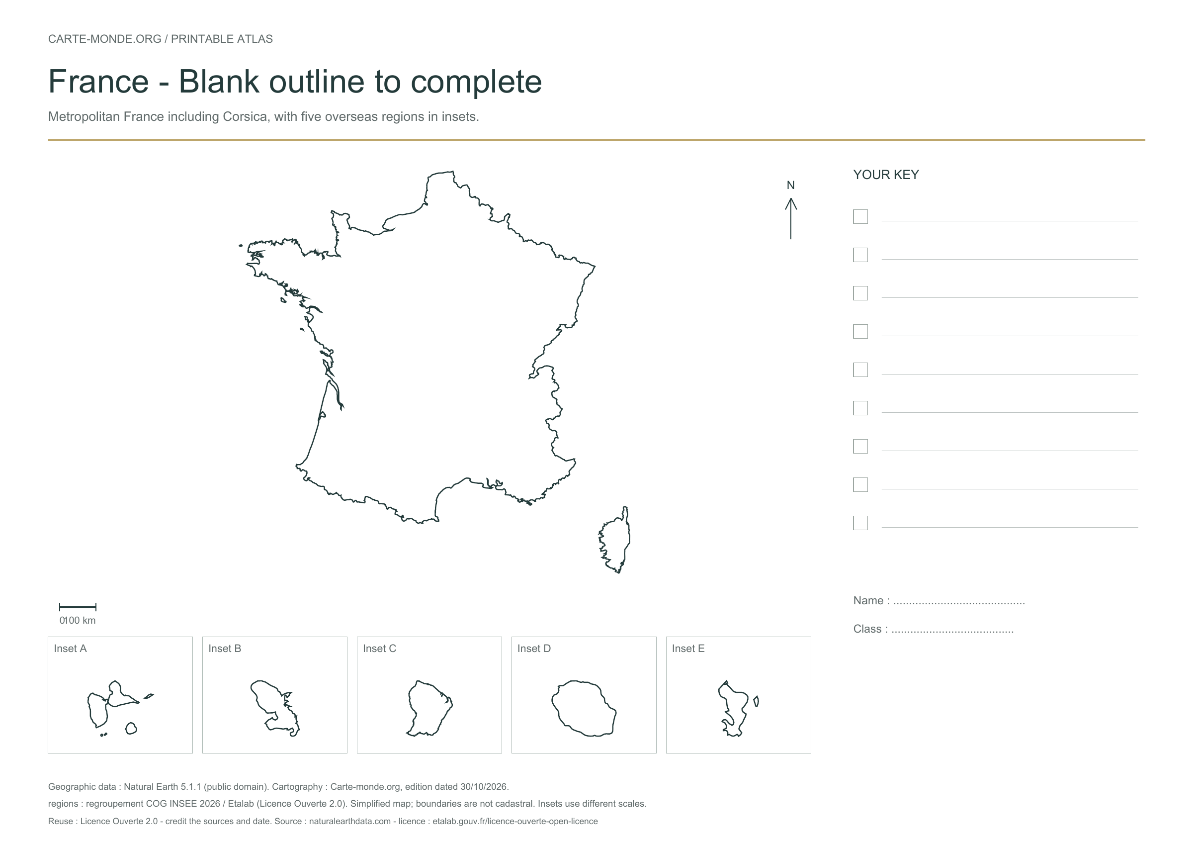
Blank outline of France

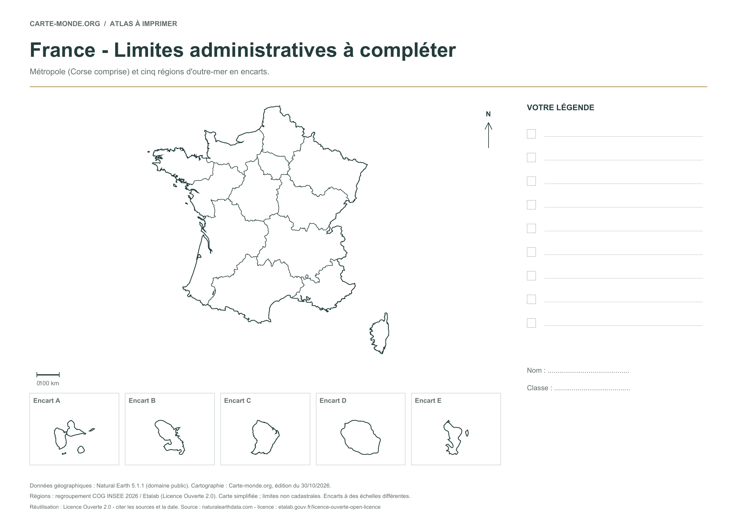
A blank map without internal boundaries for placing cities, rivers or major regions. Metropolitan France, with Corsica and five overseas departments and regions in insets.

A4 vector PDF · PNG 2 400 px · Licence Ouverte 2.0
Regional boundaries without names — map of France

New series · 2026 edition

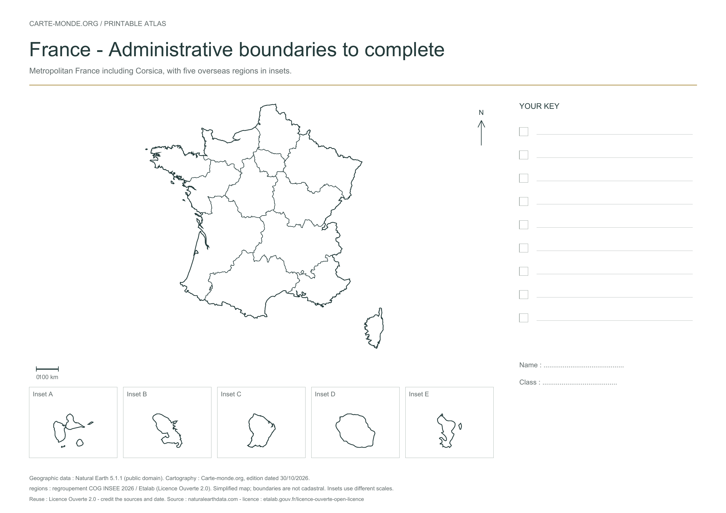
Regional boundaries without names

An exercise to identify and colour the 18 regions. Internal boundaries are drawn; names remain to be added.

A4 vector PDF · PNG 2 400 px · Licence Ouverte 2.0
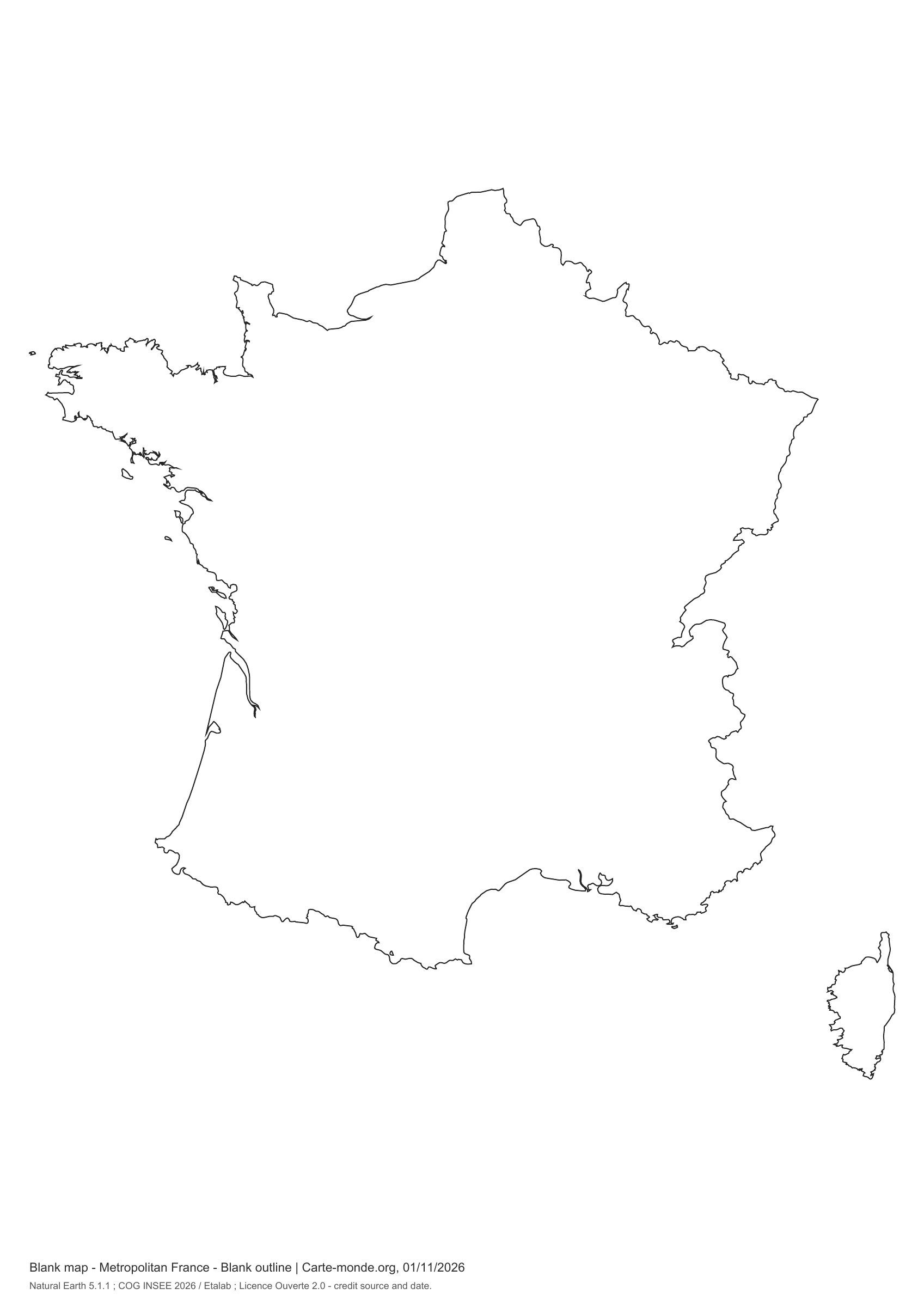
Metropolitan France: full-page outline

Simple print layout · November 2026

Metropolitan France: full-page outline

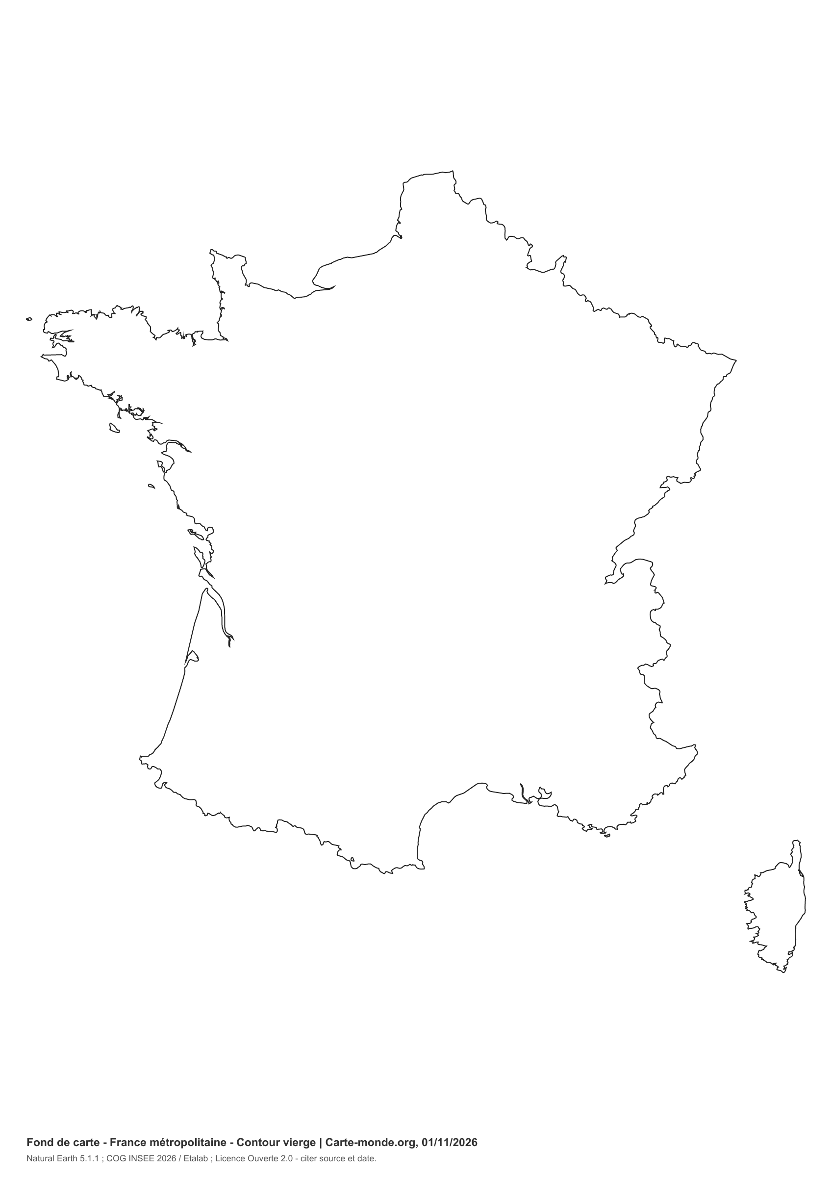
Mainland and Corsica, without overseas territories. Outline enlarged to the maximum printable area, without a heading, legend box or filled areas. Two lines at the bottom indicate the map type, source and licence.

A4 portrait vector PDF · white background · PNG 2 400 px · Licence Ouverte 2.0
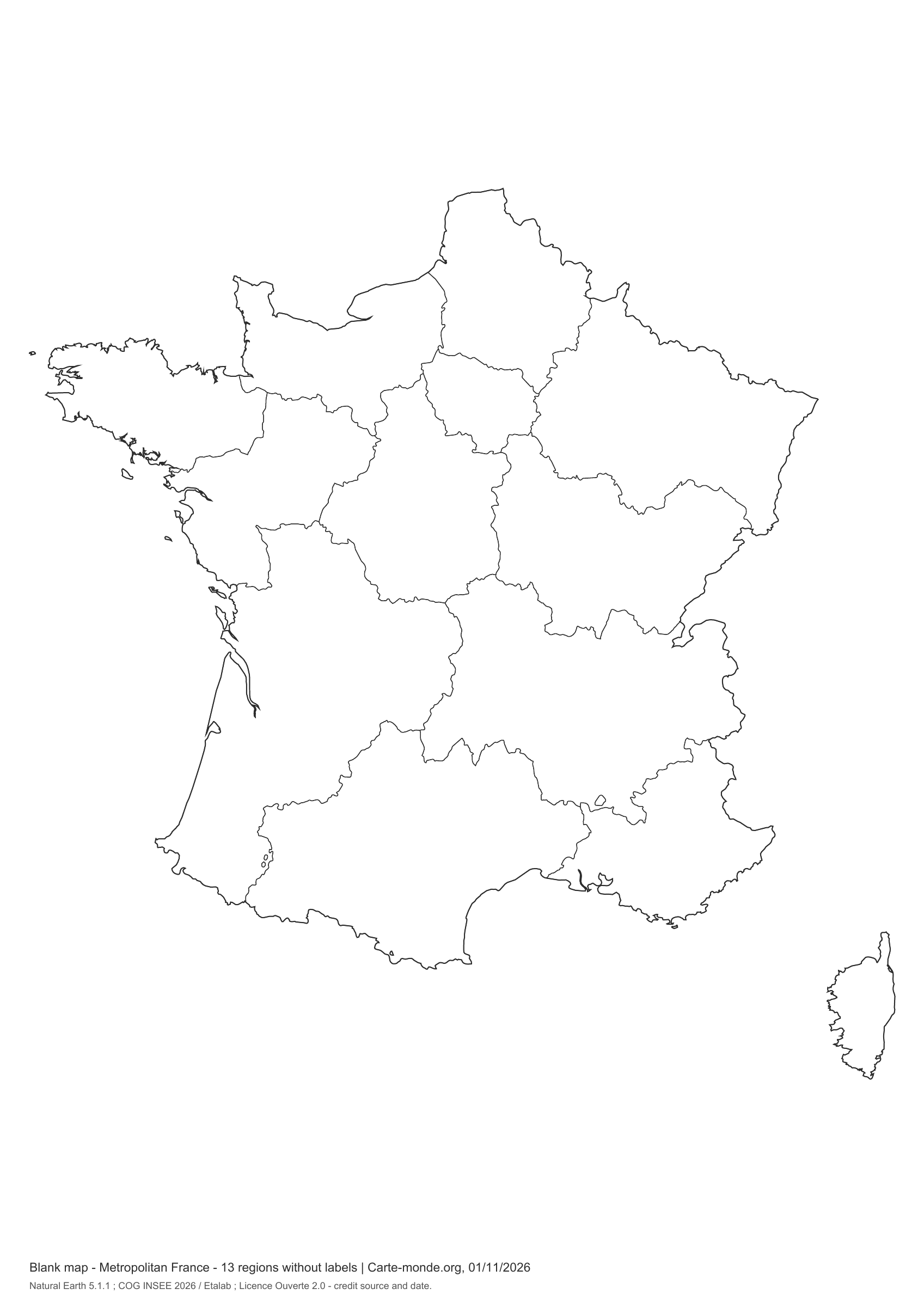
Metropolitan France: 13 regions, full-page

Simple print layout · November 2026

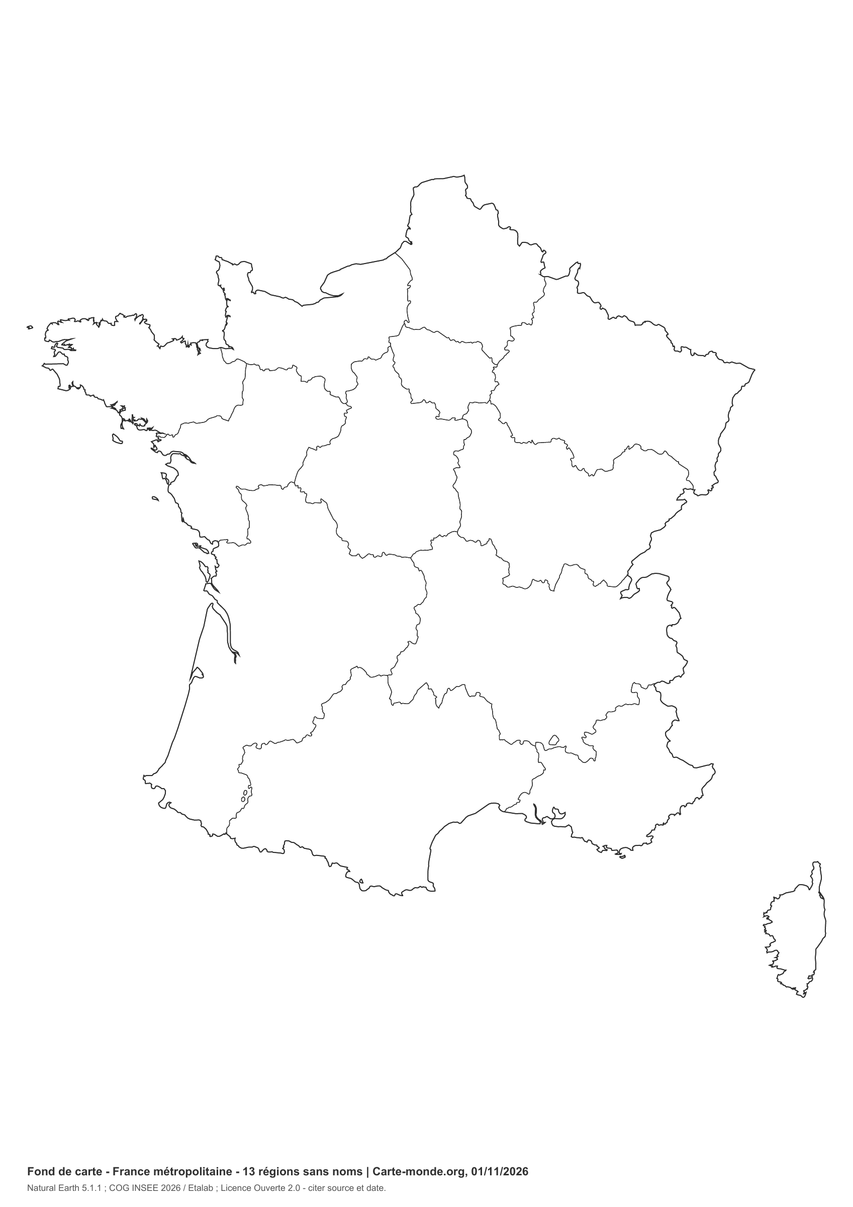
Metropolitan France: 13 regions, full-page

The 13 current regions, including Corsica, to complete. No names or colours: fine lines and a white background for ink-saving printing. The reference fits on two lines at the bottom.

A4 portrait vector PDF · white background · PNG 2 400 px · Licence Ouverte 2.0
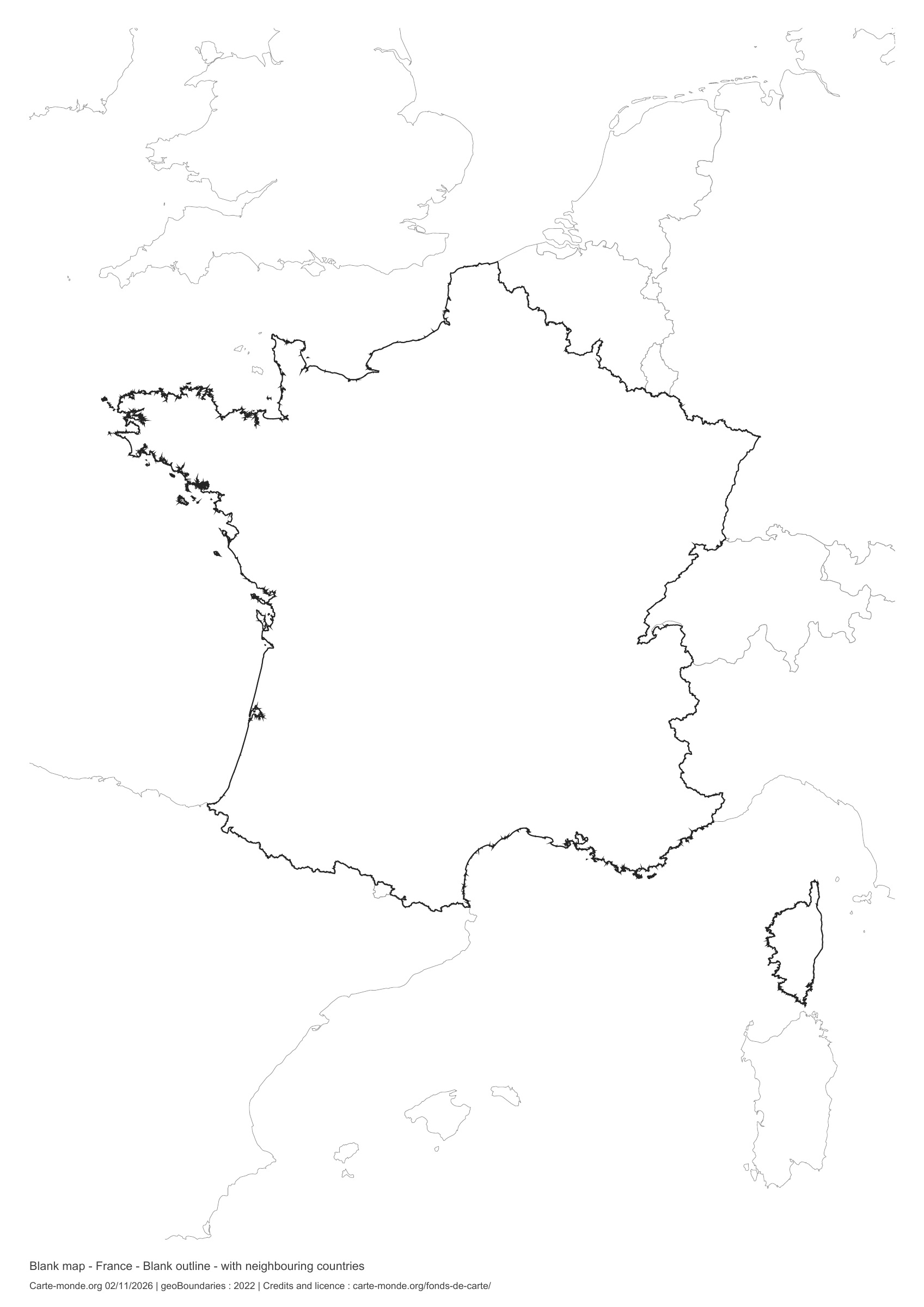
France: outline with neighbouring countries, base map without names

Model 5 · November 2026 edition

Outline with neighbouring countries

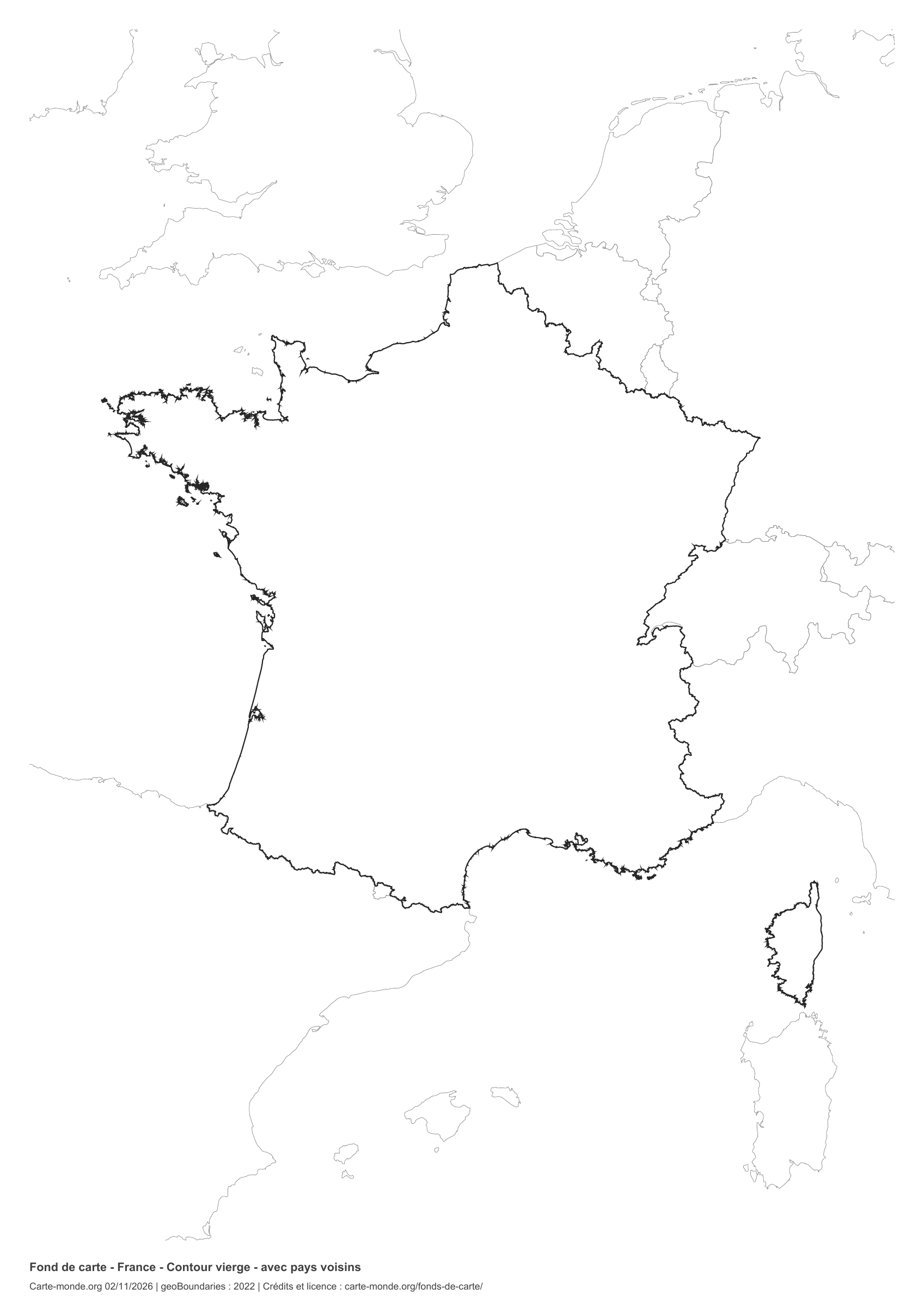
National outline without names or internal boundaries, to complete freely. Surrounding countries are shown with light outlines, without names or colour fills.

A4 portrait vector PDF · PNG 2 400 px
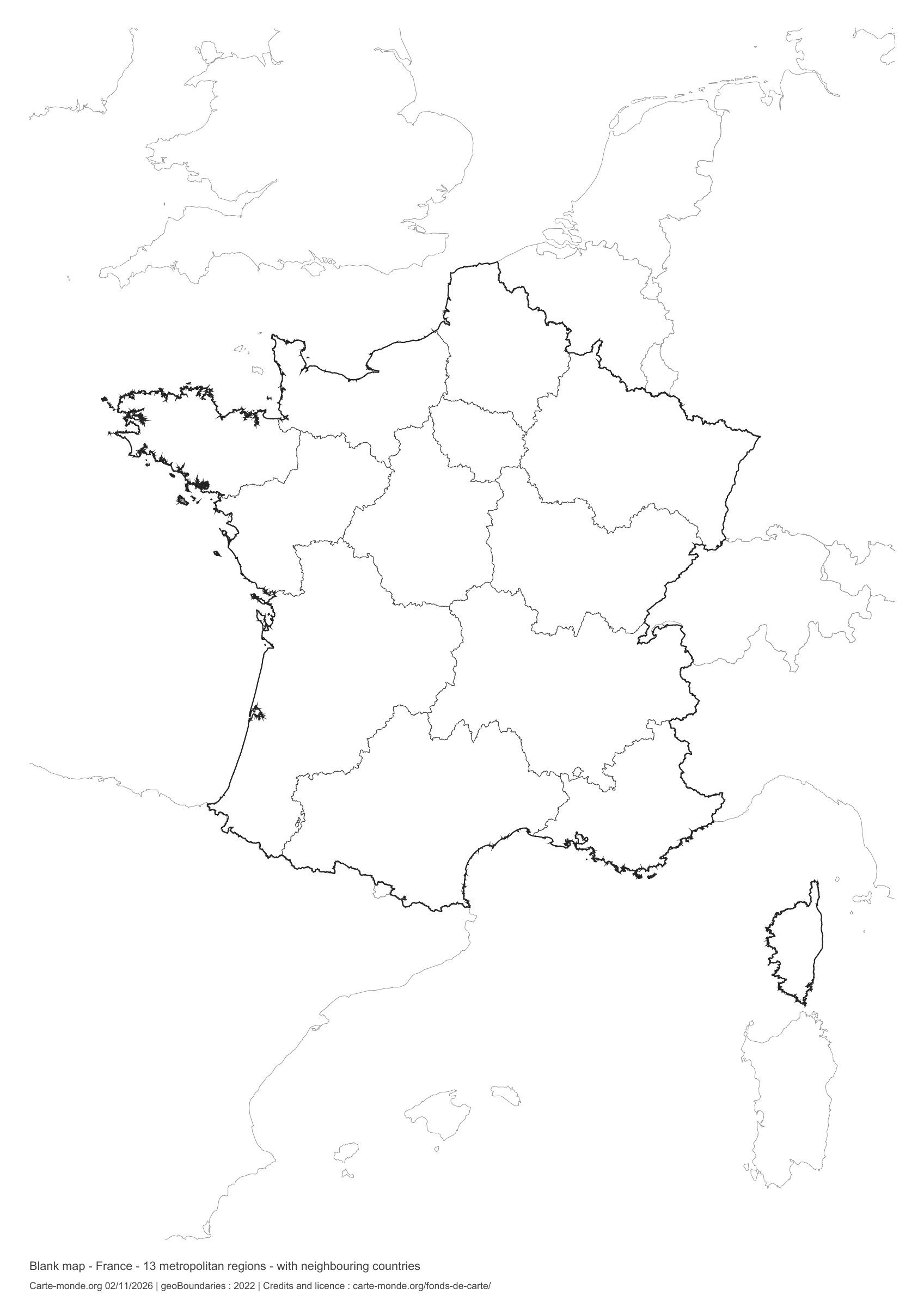
France: boundaries with neighbouring countries, base map without names

Model 6 · November 2026 edition

Boundaries with neighbouring countries

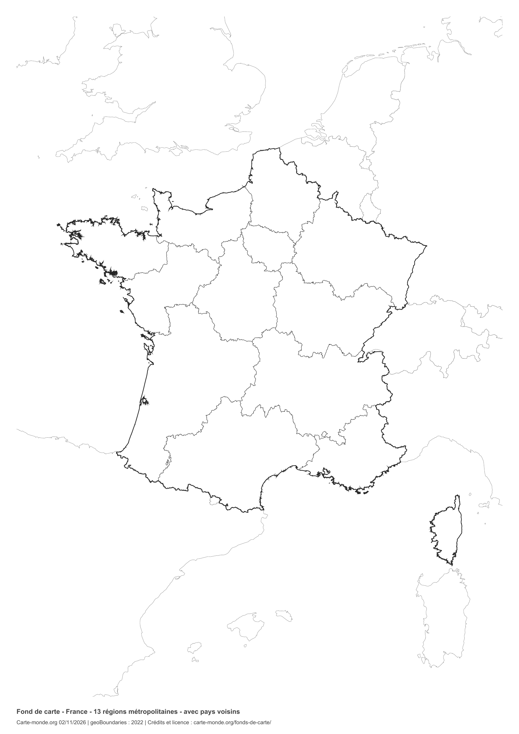
Divisions shown: 13 metropolitan regions. Add names and colours. The outlines of surrounding countries appear as fine lines, without names or filled areas.

A4 portrait vector PDF · PNG 2 400 px

The six main base maps in one pack

The full pack contains the six main blank maps in PDF, PNG and SVG, with their sources and reuse terms.

Download the six base maps — ZIP

The supplement with neighbouring countries

Outlines and boundaries, with surrounding territories shown in light lines. The supplementary ZIP contains both versions in PDF, PNG and SVG with source documentation.

Download the two base maps with neighbouring countries — ZIP

Sources for the two maps with neighbouring countries

Geometries: geoBoundaries gbOpen, 2022. Primary source: Institut national de l’information géographique et forestière (IGN-F). Licence stated in the metadata: Etalab Open License 2.0. View the source metadata.

Neighbouring country outlines: Natural Earth 5.1.1, public domain. Layout by Carte-monde.org, 2 November 2026 edition, under CC BY 4.0. The data retain their attributions and licences; consult the ZIP notes before reuse.

Example credit: Carte-monde.org, edition of 2 November 2026 — geoBoundaries / Institut national de l’information géographique et forestière (IGN-F).

Initial pack: four maps of France

Outlines, boundaries, administrative map and location in Europe: each map is provided in PDF, PNG and editable SVG. The ZIP also includes notes with sources and the license.

Download the France pack — ZIP

Pack of the five simple printable base maps

Full-page outlines and regions, regions with neighbouring countries, administrative centre markers and regions with overseas departments and regions (DROM). Each map is supplied in PDF, PNG and editable SVG, with source and licence documentation.

Download the simple base maps — ZIP

Which map should I choose?

Start with the outline for a freehand sketch map. Choose the version with boundaries to learn the regions. Add a title, key and the requested names; use the administrative map on the companion page as an answer key.

View the labelled maps of France.

Four maps with the current regions

Equivalents of older regional variants, redrawn using COG 2026 divisions. The metropolitan version without surrounding context is also offered in the first selection above.

Metropolitan France: 13 regions, full-page

Simple print layout · November 2026

Metropolitan France: 13 regions, full-page

The 13 current regions, including Corsica, to complete. No names or colours: fine lines and a white background for ink-saving printing. The reference fits on two lines at the bottom.

A4 portrait vector PDF · white background · PNG 2 400 px · Licence Ouverte 2.0
13 regions and neighbouring-country context

Simple print layout · November 2026

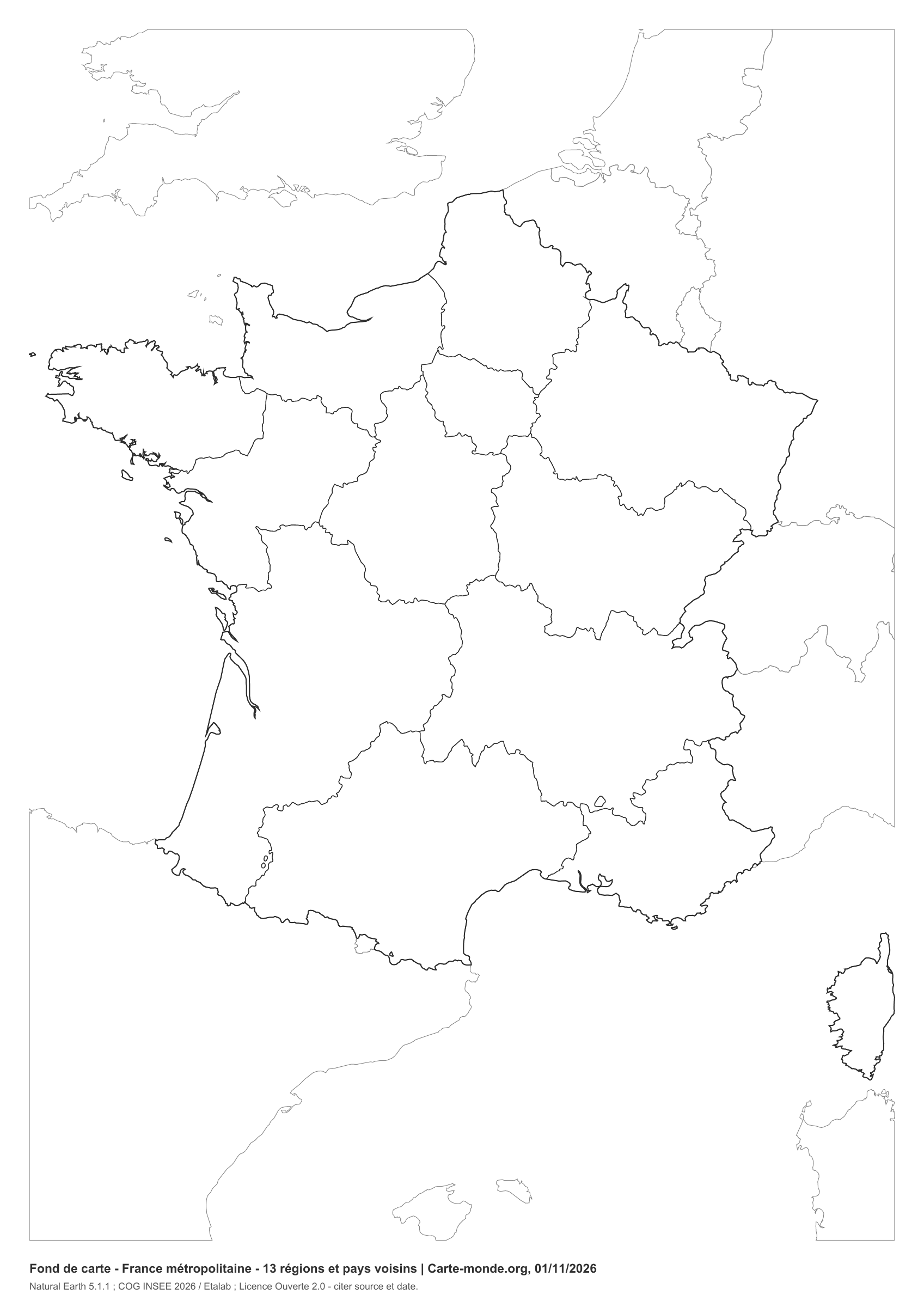
13 regions and neighbouring-country context

Current regions of France in the metropolitan territory, without names. Neighbouring countries’ outlines remain visible, without grey areas or fills, to locate France while saving ink.

A4 portrait vector PDF · white background · PNG 2 400 px · Licence Ouverte 2.0
13 regions with administrative capital markers

Simple print layout · November 2026

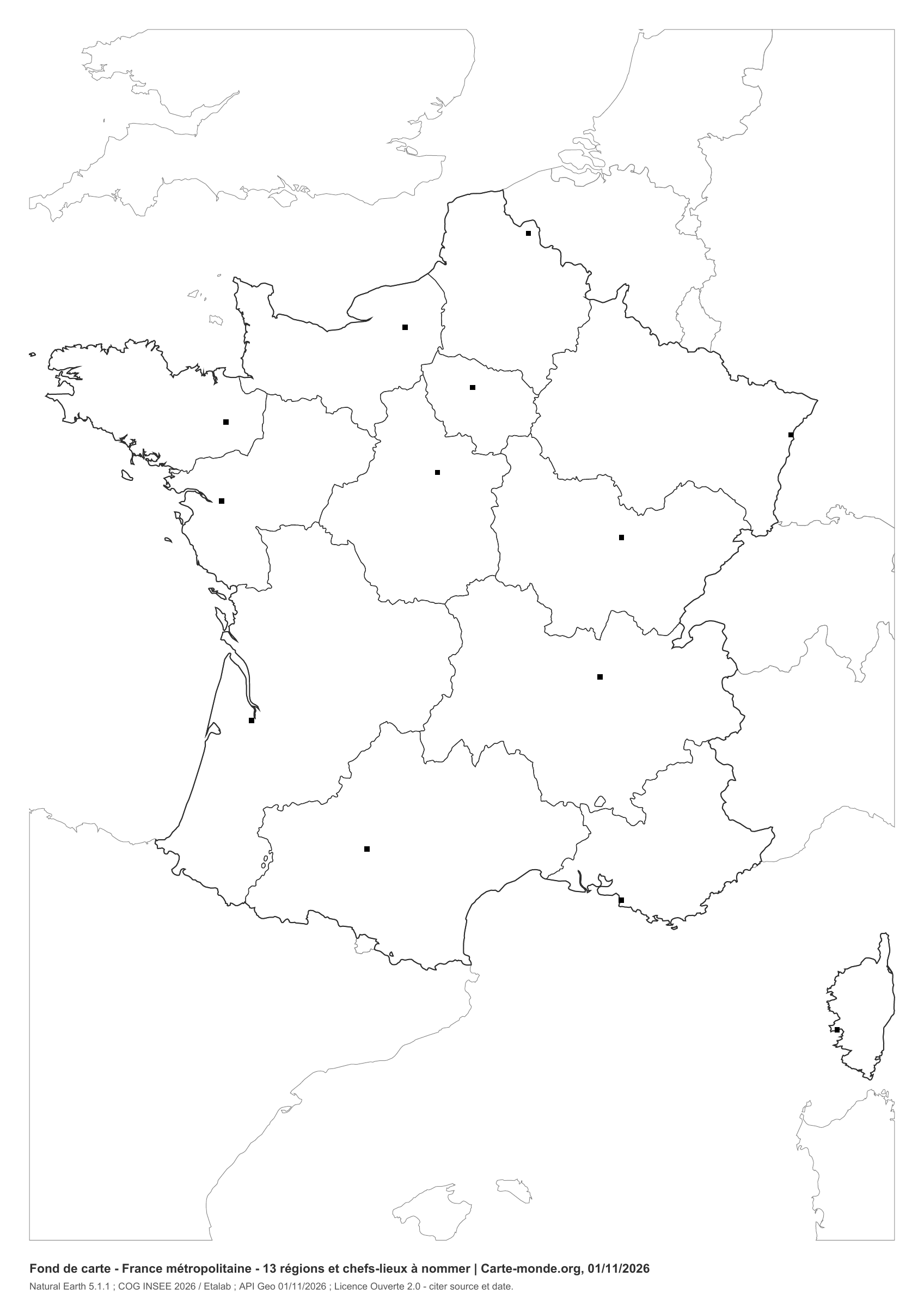
13 regions with administrative capital markers

Current boundaries and locations of the 13 metropolitan regional capitals, marked with small squares to label. Selection according to COG 2026; positions from municipality centers in the API Geo.

A4 portrait vector PDF · white background · PNG 2 400 px · Licence Ouverte 2.0
18 regions: metropolitan territory and five overseas departments and regions

Simple print layout · November 2026

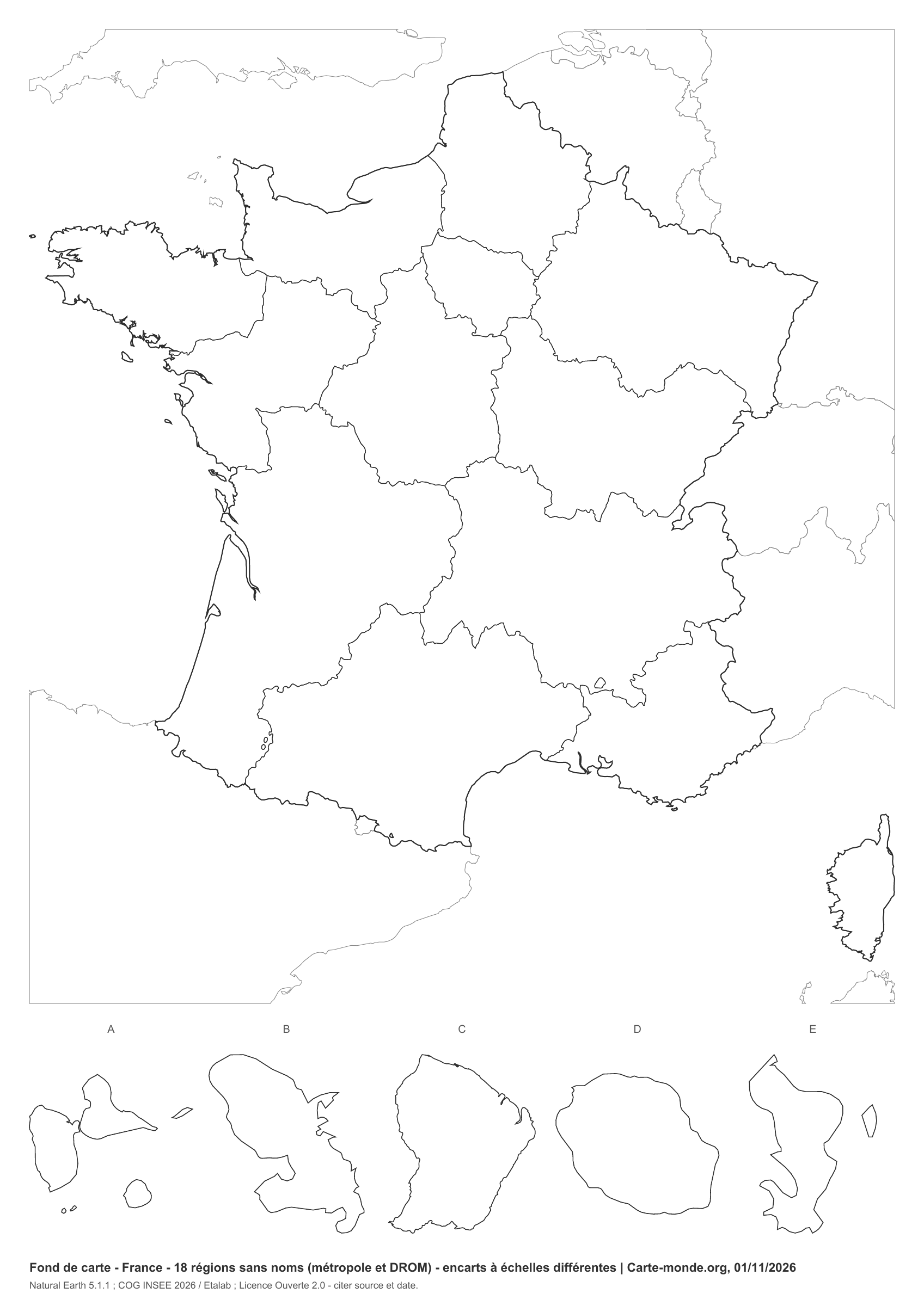
18 regions: metropolitan territory and five overseas departments and regions

The 13 metropolitan regions and five insets: A Guadeloupe, B Martinique, C French Guiana, D Réunion, E Mayotte. Insets use different scales. Other overseas collectivities are not shown: they are not administrative regions.

A4 portrait vector PDF · white background · PNG 2 400 px · Licence Ouverte 2.0

Looking for the former regions? The four historical files remain available in Other maps, at their original URLs. They are retained for historical comparison.

Other base maps in the collection

Outlines, departments and rivers from the original collection. Files, credits and URLs are preserved. Their licence still needs to be checked; the Licence Ouverte for the new series does not apply to these older files.
Outline of France, metropolitan territory, without names

Older collection · file archived in 2016

Outline of France, metropolitan territory, without names

File from the original collection. Check the reference points before use.

Open the original file
Another blank base map of France, metropolitan territory

Older collection · file archived in 2016

Another blank base map of France, metropolitan territory

File from the original collection. Check the reference points before use.

Open the original file
Base map of France with departmental boundaries

Older collection · file archived in 2016

Base map of France with departmental boundaries

File from the original collection. Check the reference points before use.

Open the original file
Blank base map of France with the main rivers

Older collection · file archived in 2016

Blank base map of France with the main rivers

File from the original collection. Check the reference points before use.

Open the original file
Base map of France with rivers and cities

Older collection · file archived in 2016

Base map of France with rivers and cities

File from the original collection. Check the reference points before use.

Open the original file

See also the old regional base maps under Other maps.

How do I download and print the map?

  1. Open the PDF beneath the preview for a sharp printed map. The PNG is suitable for a presentation or document.
  2. Save the file from your browser, then print in A4. The new ink-saving versions are portrait; models with space for a key are landscape. Select the document’s orientation and “Fit to page” if needed.
  3. To change linework or colors, unzip the pack and open the SVG in a vector editor. Retain the source credit.
The insets have their own extent; the scale of the main map does not apply to them.

Sources and reuse terms

New series: created by Carte-monde.org, October and November 2026, based on Natural Earth 5.1.1 (geometries at 1:10 million, public domain data). The French grouping follows the Code officiel géographique 2026, via Etalab, administrative divisions 6.0.0. Regional capital markers follow COG 2026; their positions come from municipality centers in theAPI Geo, recorded on 1 November 2026. Outlines are generalised and unsuitable for cadastral use or legal boundary determination.

The new PDF, PNG and SVG files are available under Licence Ouverte 2.0 : copying, adaptation and commercial use permitted with source and date attribution. Example credit: Carte-monde.org, October or November 2026 edition depending on the file — Natural Earth 5.1.1; COG 2026 / Etalab. Licence Ouverte 2.0.

Maps in the older collection retain their own terms; their license is not confirmed here.

Continue exploring

Base maps of Germany · Base maps of Spain · All maps of France

Original French files

Printable base maps of Spain

SPAIN · MAPS TO COMPLETE

Download a blank map of Spain to add names, colour the autonomous communities or draw a sketch map. Six versions are available: two with space for a key, two enlarged full-page versions and two maps with neighbouring countries. They use little ink, have no geographical names and are ready for A4 printing.

Our six blank maps have English labels.

Six base maps of Spain to complete

Peninsular Spain and the Balearic Islands; Canary Islands, Ceuta and Melilla in insets. Simplified maps for teaching and presentations; the 2026 edition indicates the files’ creation date, not an update date for all borders.

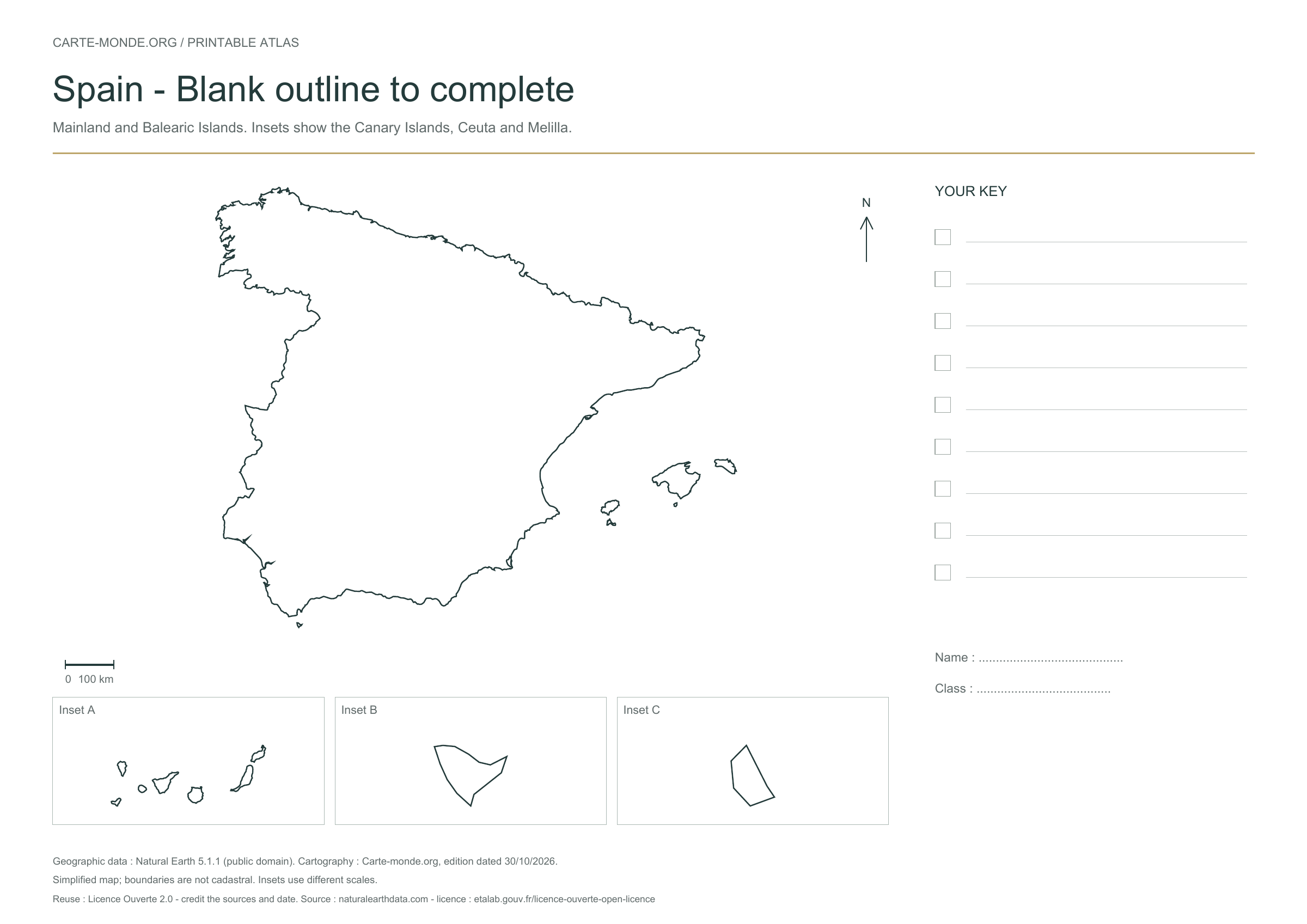
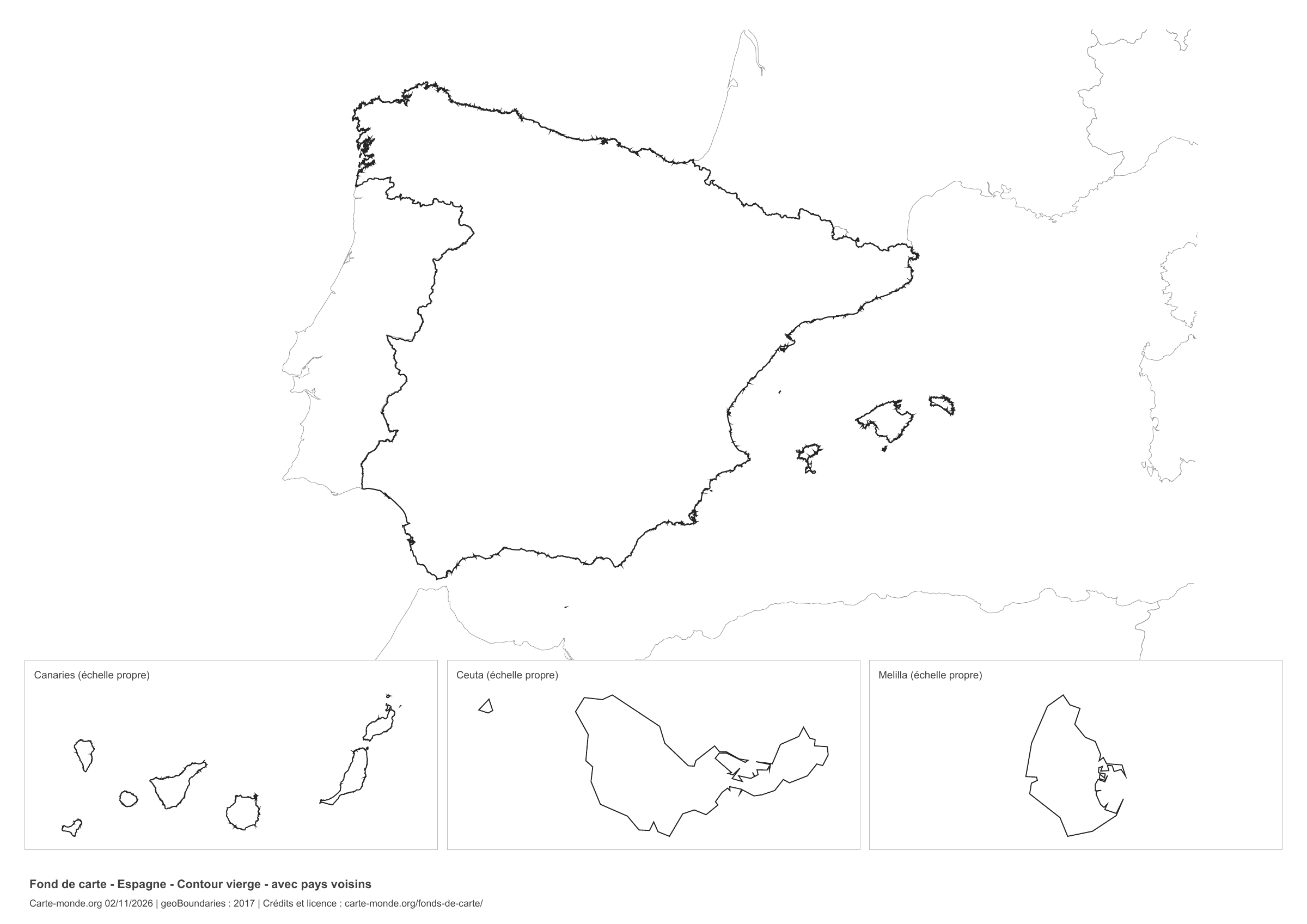
Blank outline of Spain — map of Spain

New series · 2026 edition

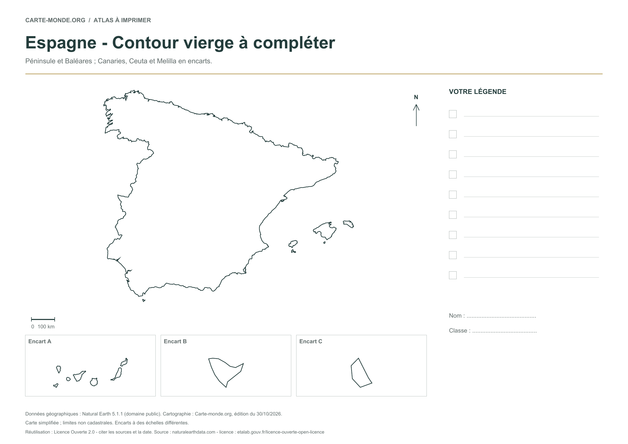
Blank outline of Spain

A blank map without internal boundaries for adding cities, rivers or major regions. Peninsular Spain and the Balearic Islands; Canary Islands, Ceuta and Melilla in insets.

A4 vector PDF · PNG 2 400 px · Licence Ouverte 2.0

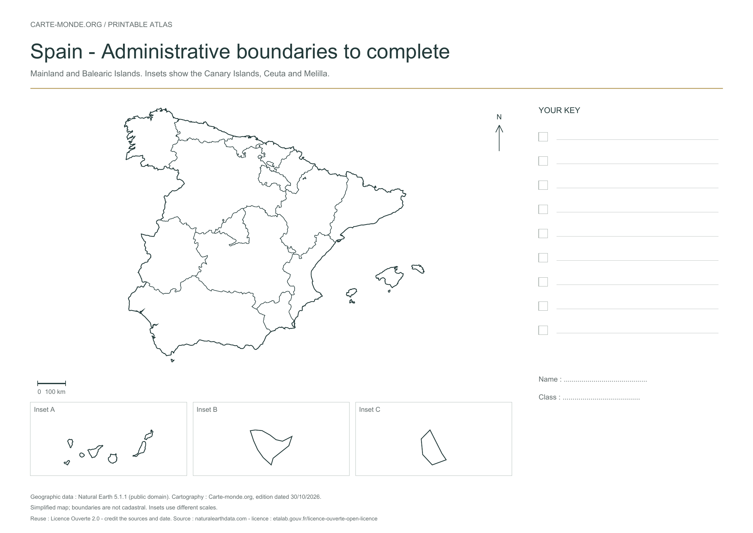
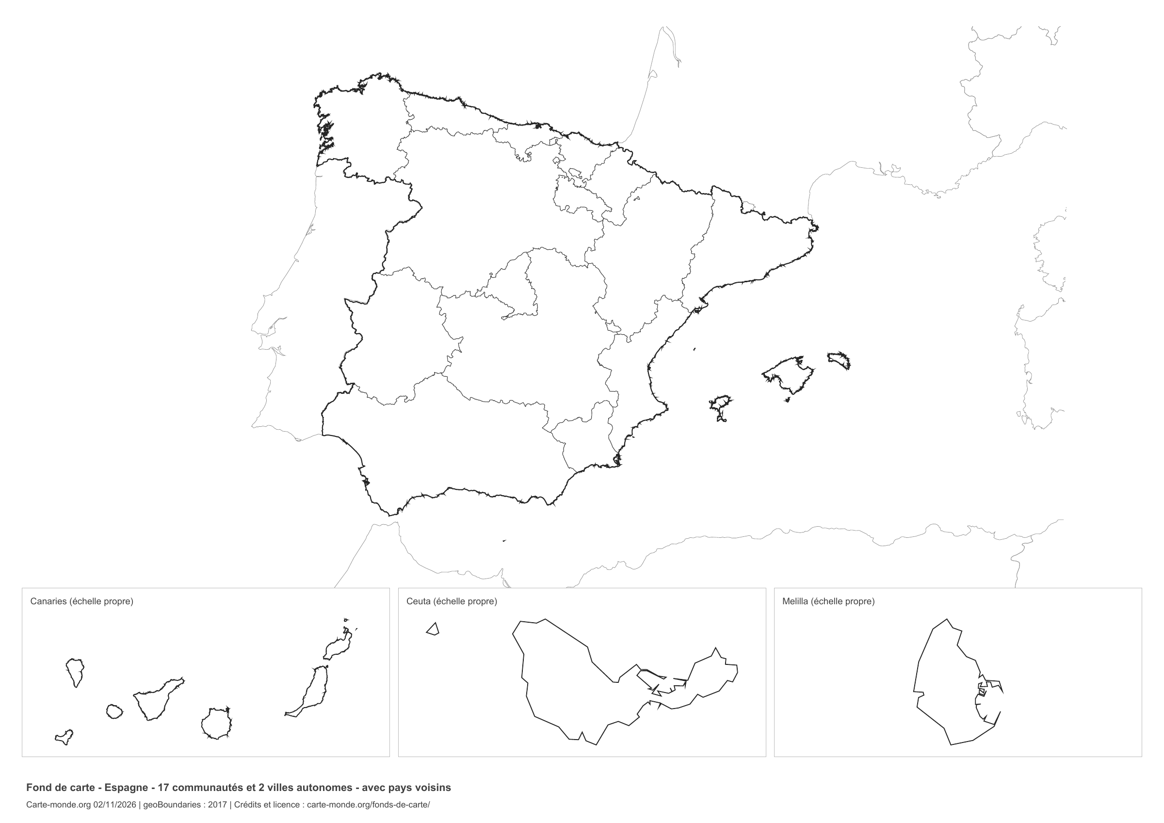
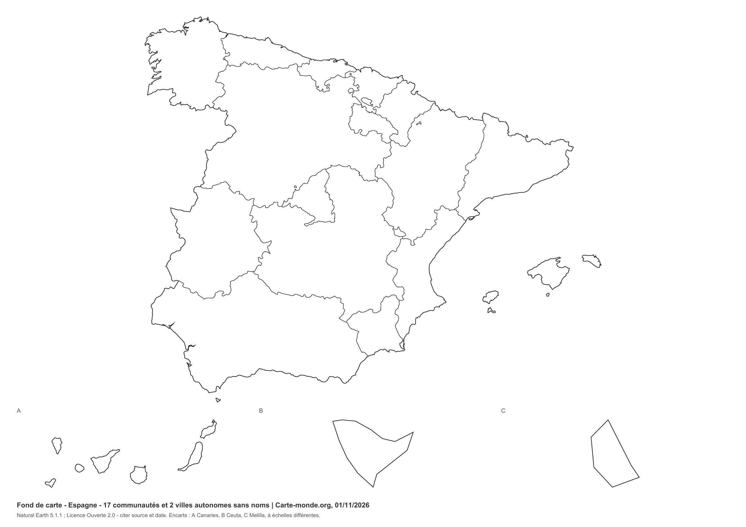
Autonomous community boundaries without names — map of Spain

New series · 2026 edition

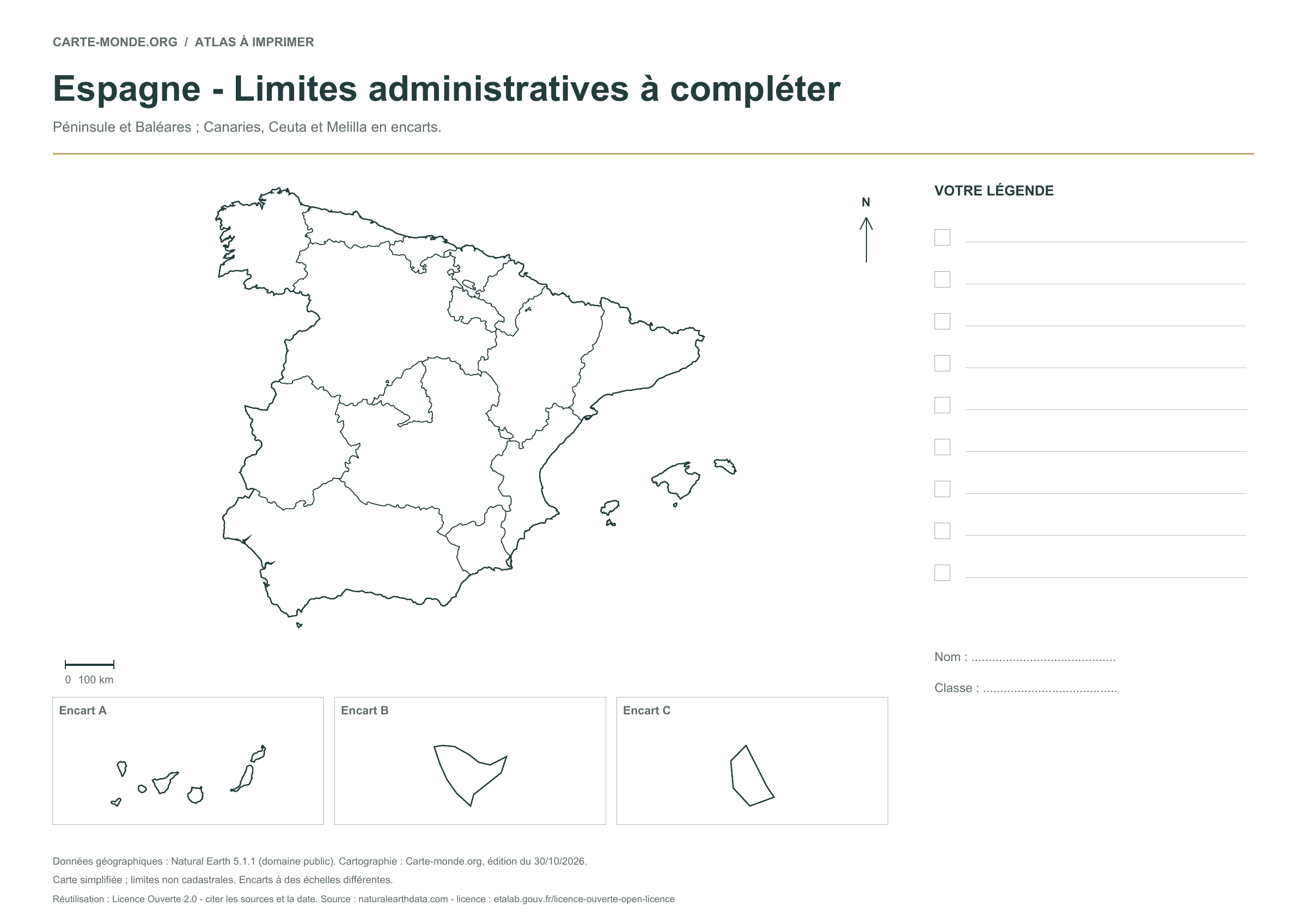
Autonomous community boundaries without names

An exercise to identify and color the 17 communities and 2 autonomous cities. Internal borders are drawn; names remain to be added.

A4 vector PDF · PNG 2 400 px · Licence Ouverte 2.0

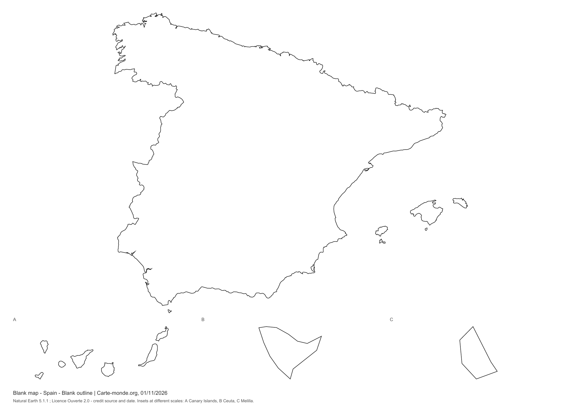
Spain: full-page outline

Simple print layout · November 2026

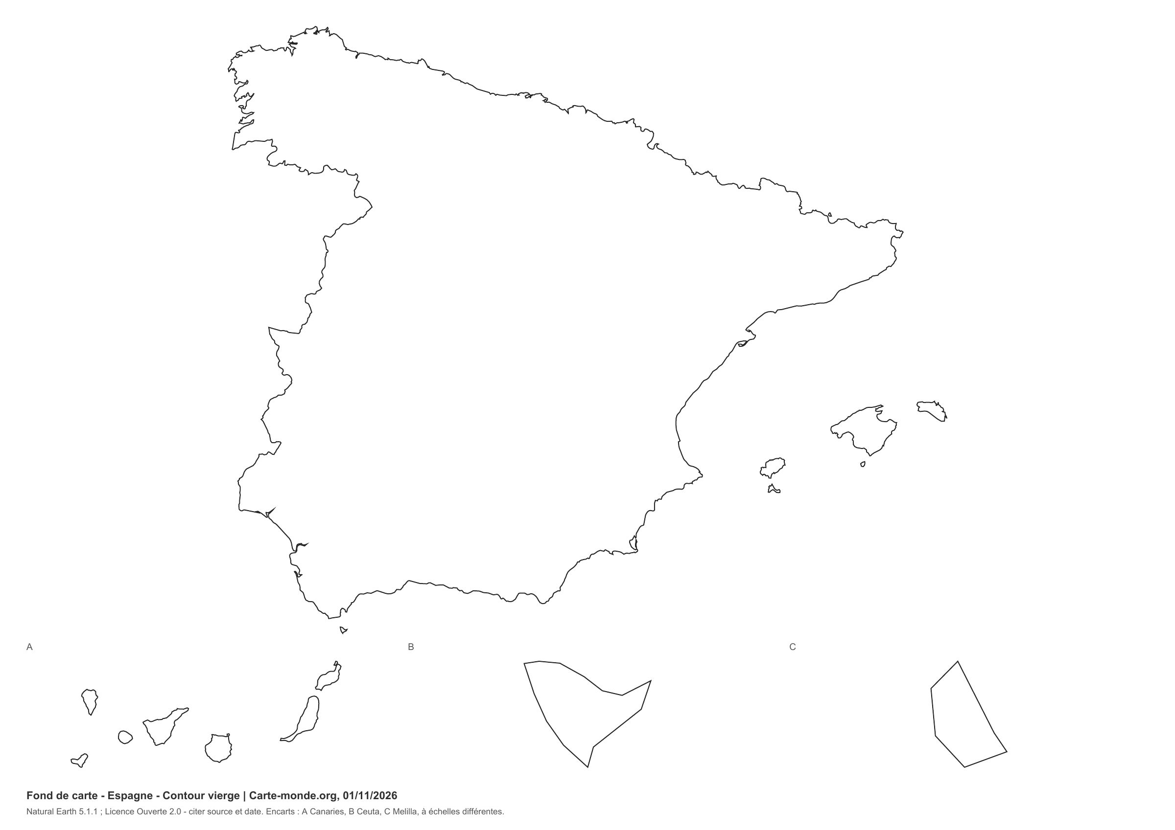
Spain: full-page outline

Blank outline without internal boundaries. White background, thin lines and two reference lines at the bottom, without a large title or legend space. Peninsula and Balearic Islands; Canary Islands, Ceuta and Melilla in highly simplified insets at different scales.

A4 landscape vector PDF · PNG 2 400 px · Licence Ouverte 2.0

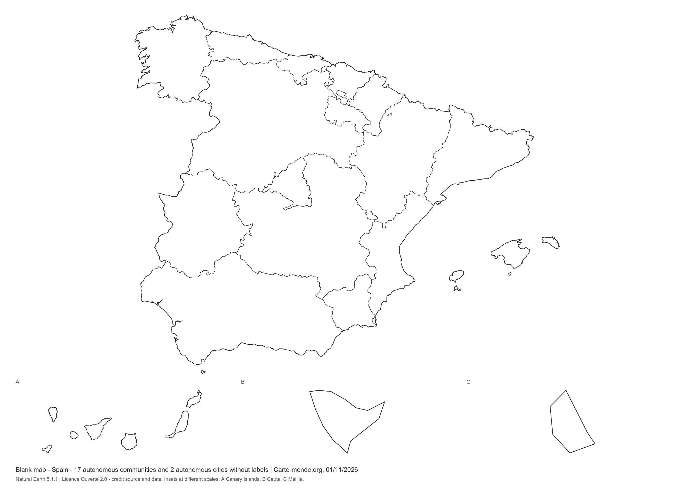
Spain: full-page administrative boundaries

Simple print layout · November 2026

Spain: full-page administrative boundaries

Autonomous communities and cities without names. White background, fine lines and two reference lines at the bottom, without a large title or key area. Mainland and Balearic Islands; the Canary Islands, Ceuta and Melilla in highly simplified insets at different scales.

A4 landscape vector PDF · PNG 2 400 px · Licence Ouverte 2.0

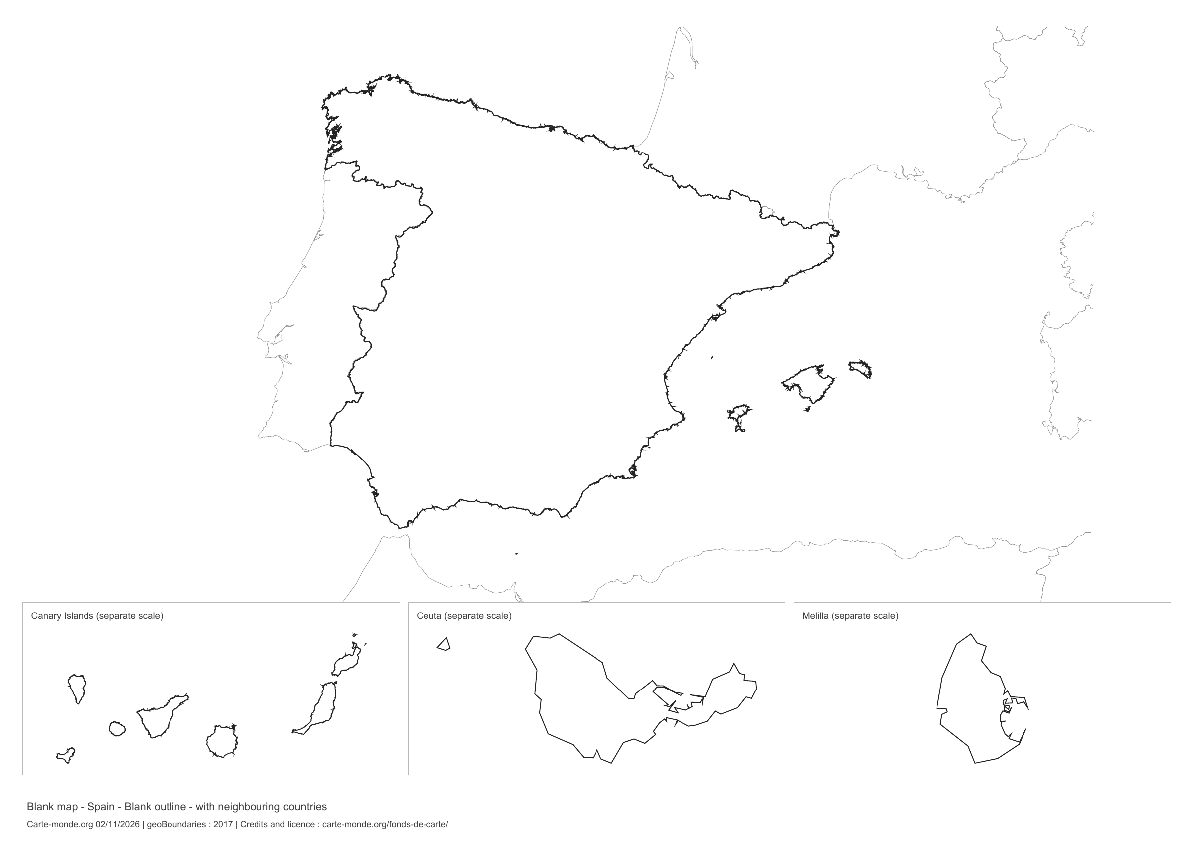
Spain: outline with neighbouring countries, base map without names

Model 5 · November 2026 edition

Outline with neighbouring countries

National outline without names or internal boundaries, to complete freely. Surrounding countries are shown with light outlines, without names or colour fills.

A4 landscape vector PDF · PNG 2 400 px

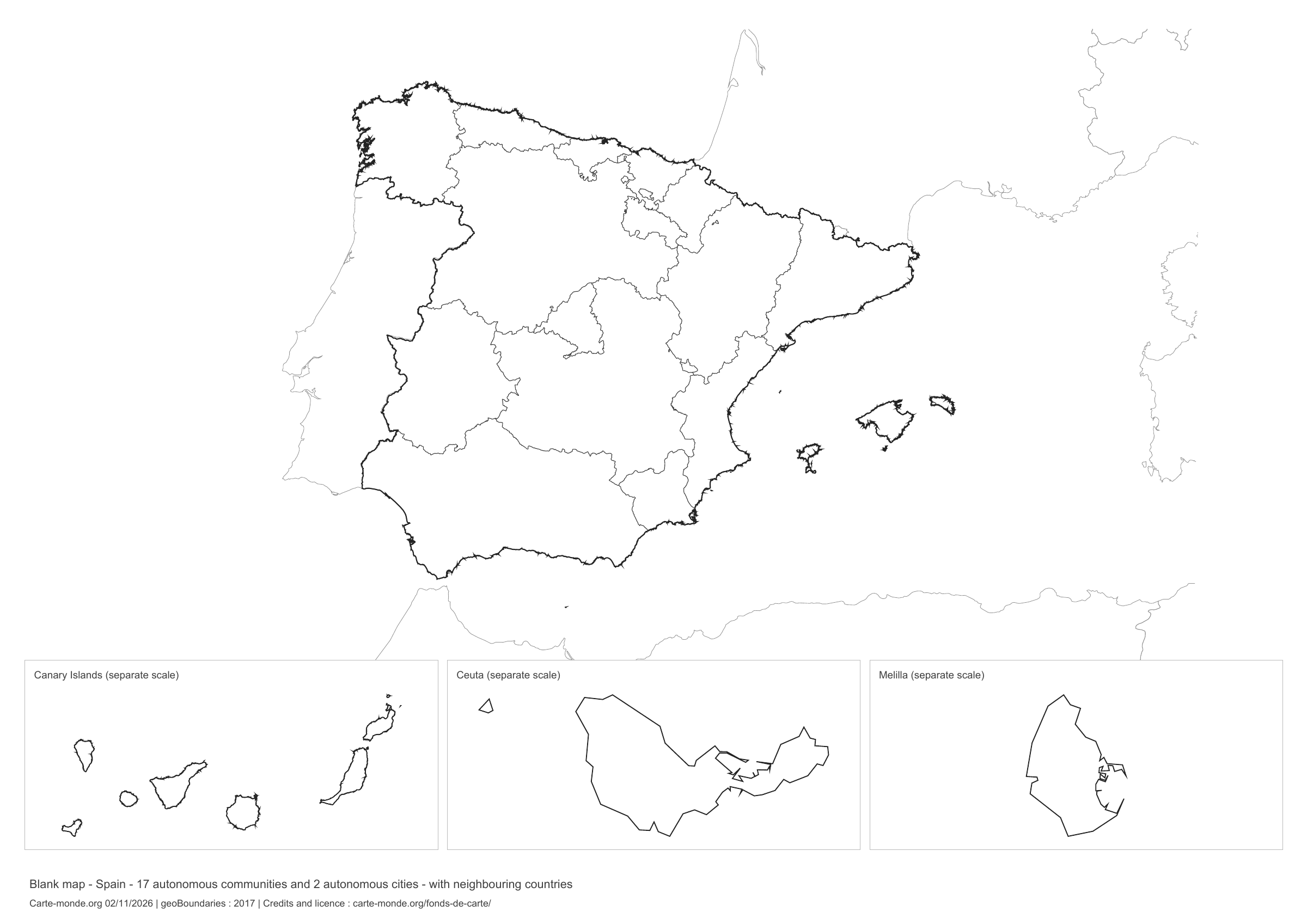
Spain: boundaries with neighbouring countries, base map without names

Model 6 · November 2026 edition

Boundaries with neighbouring countries

Divisions shown: 17 communities and 2 autonomous cities. Add names and colors. The outlines of surrounding countries appear as light lines, without names or color fills.

A4 landscape vector PDF · PNG 2 400 px

The six main base maps in one pack

The full pack contains the six main blank maps in PDF, PNG and SVG, with their sources and reuse terms.

Download the six base maps — ZIP

The supplement with neighbouring countries

Outlines and boundaries, with surrounding territories shown in light lines. The supplementary ZIP contains both versions in PDF, PNG and SVG with source documentation.

Download the two base maps with neighbouring countries — ZIP

Sources for the two maps with neighbouring countries

Geometries: geoBoundaries gbOpen, 2017. Primary source: Instituto de Geografico Nacional. Licence stated in the metadata: Creative Commons Attribution 4.0 International (CC BY 4.0). View the source metadata.

Neighbouring country outlines: Natural Earth 5.1.1, public domain. Layout by Carte-monde.org, 2 November 2026 edition, under CC BY 4.0. The data retain their attributions and licences; consult the ZIP notes before reuse.

Example credit: Carte-monde.org, edition dated 2 November 2026 — geoBoundaries / Instituto de Geografico Nacional.

Initial pack: four maps

Outlines, boundaries, administrative map and location in Europe: each map is provided in PDF, PNG and editable SVG. The ZIP also includes notes with sources and the license.

Download the Spain pack — ZIP

Pack of the two simple printable base maps

Outline and administrative boundaries in PDF, PNG and editable SVG, with sources and license.

Download the two simple base maps — ZIP

Which map should I choose?

Start with the outline for a freehand sketch. Choose the map with boundaries to learn the autonomous communities. Add a title, legend and the required names; use the administrative map on the supplementary page as an answer key.

View the labelled maps of Spain.

How do I download and print the map?

  1. Open the PDF beneath the preview for a sharp printed map. The PNG is suitable for a presentation or document.
  2. Save the file from your browser, then print in A4 using the document’s orientation. Germany’s ink-saving blank maps are portrait; those of Spain and the versions with legend space are landscape. Use “Fit to page” if necessary.
  3. To change linework or colors, unzip the pack and open the SVG in a vector editor. Retain the source credit.
The insets have their own extent; the scale of the main map does not apply to them.
Sources and reuse terms

New series: created by Carte-monde.org, October and November 2026, based on Natural Earth 5.1.1 (geometries at 1:10 million, public domain data). The outlines are generalised and unsuitable for cadastral use or legal boundary delineation.

The new PDF, PNG and SVG files are available under Licence Ouverte 2.0 : copying, adaptation and commercial use permitted with source and date attribution. Example credit: Carte-monde.org, October or November 2026 edition depending on the file — Natural Earth 5.1.1. Licence Ouverte 2.0.

Maps in the older collection retain their own terms; their license is not confirmed here.

Continue exploring

Blank maps of France · Base maps of Germany · All maps of France

Original French files

Printable base maps of Albania

ALBANIA · MAPS TO COMPLETE

Download a blank map of Albania to add names, prepare a sketch map or colour territories. Six black-and-white versions are available: outlines and boundaries, with space for a key, full-page or with neighbouring countries. Each map is available as an A4 PDF and PNG.
Our six blank maps have English labels.

Six base maps of Albania to complete

Coverage: Albania. Divisions: 12 prefectures.

Geographic reference year: 2021. The files’ edition date does not mean that all boundaries have been updated.

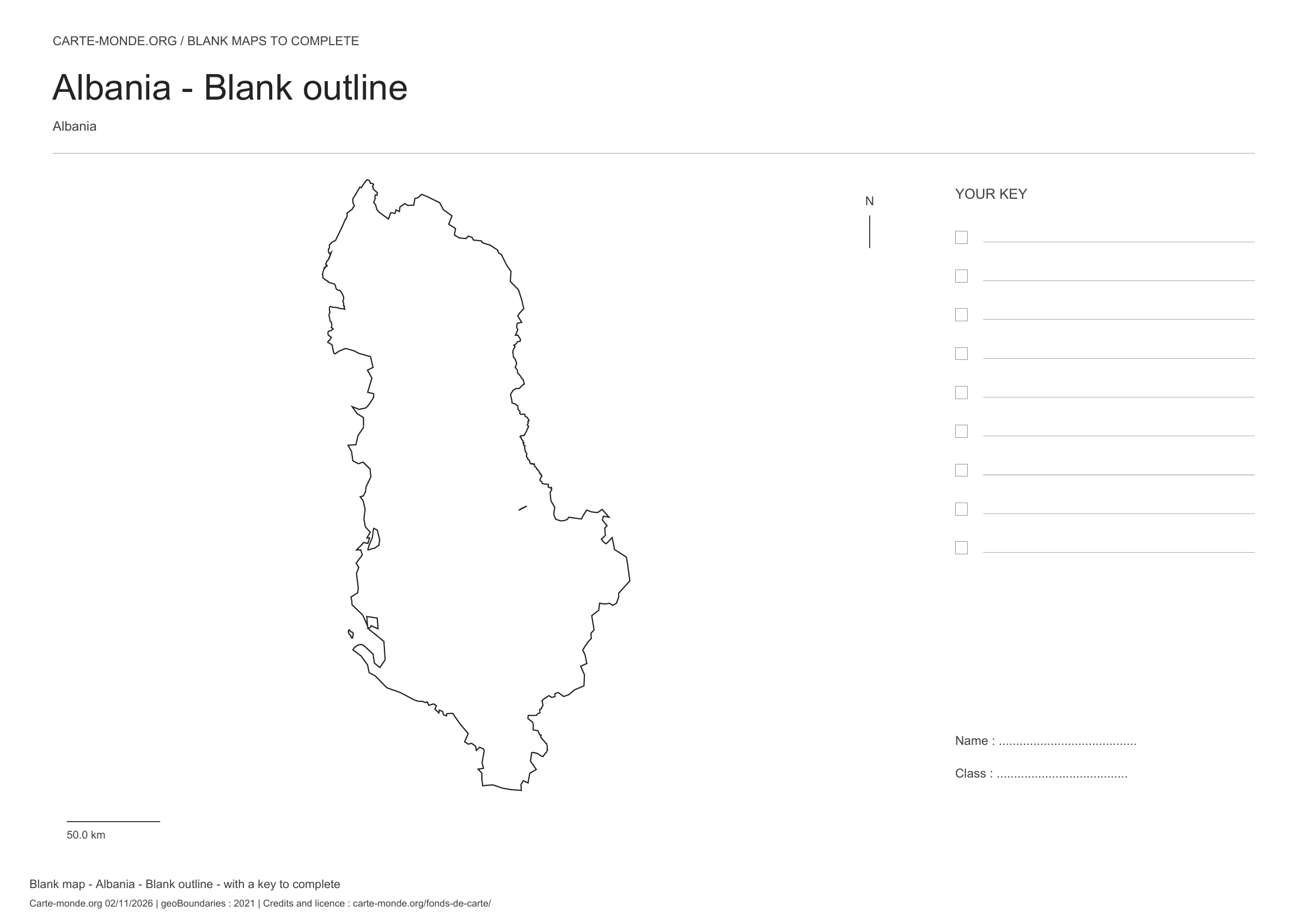
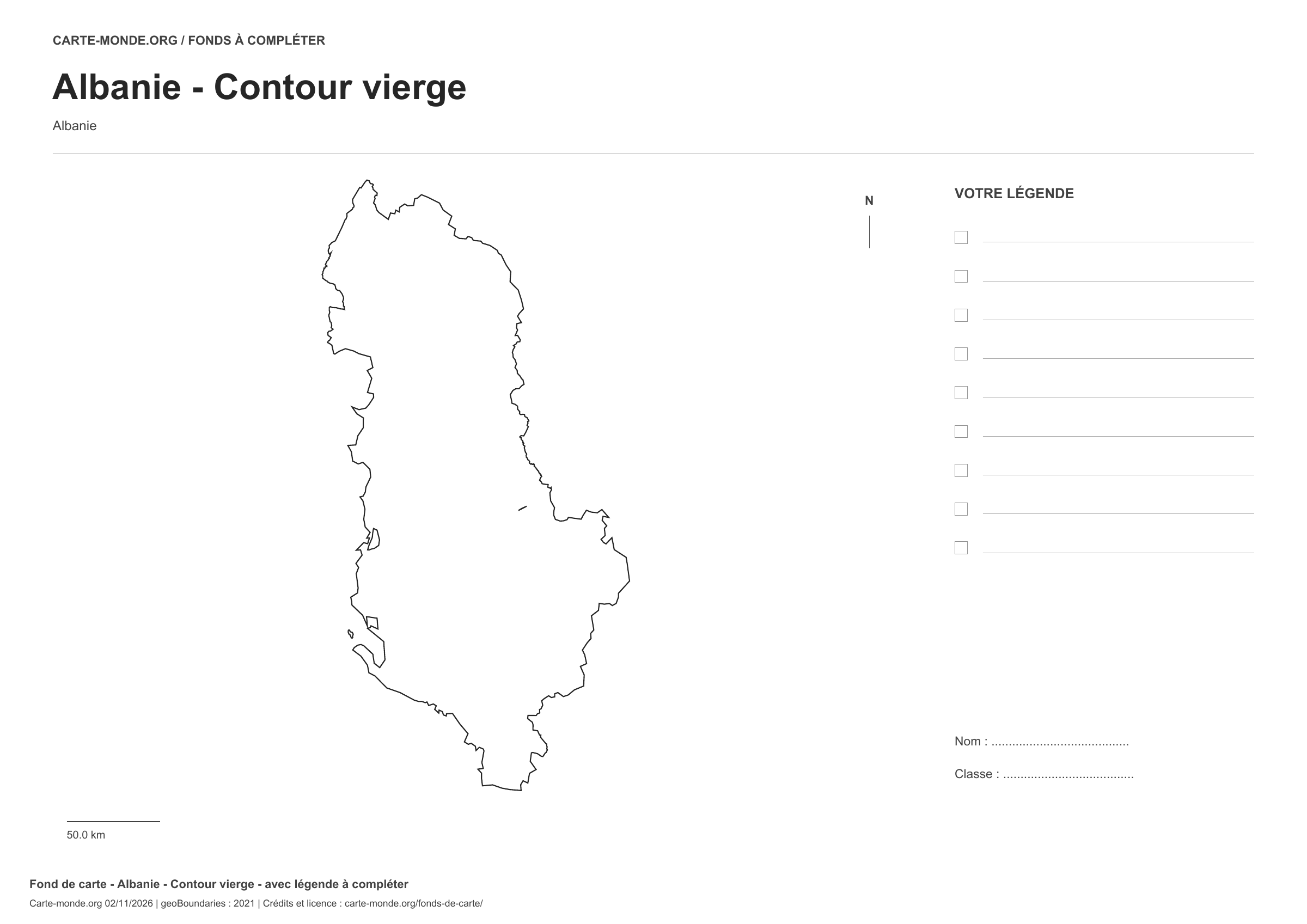
Albania: outline with space for a legend, base map without names

Model 1 · November 2026 edition

Outline with space for a legend

National outline without names or internal boundaries, to complete freely. Space for your key, name and class.

A4 landscape vector PDF · PNG 2 400 px

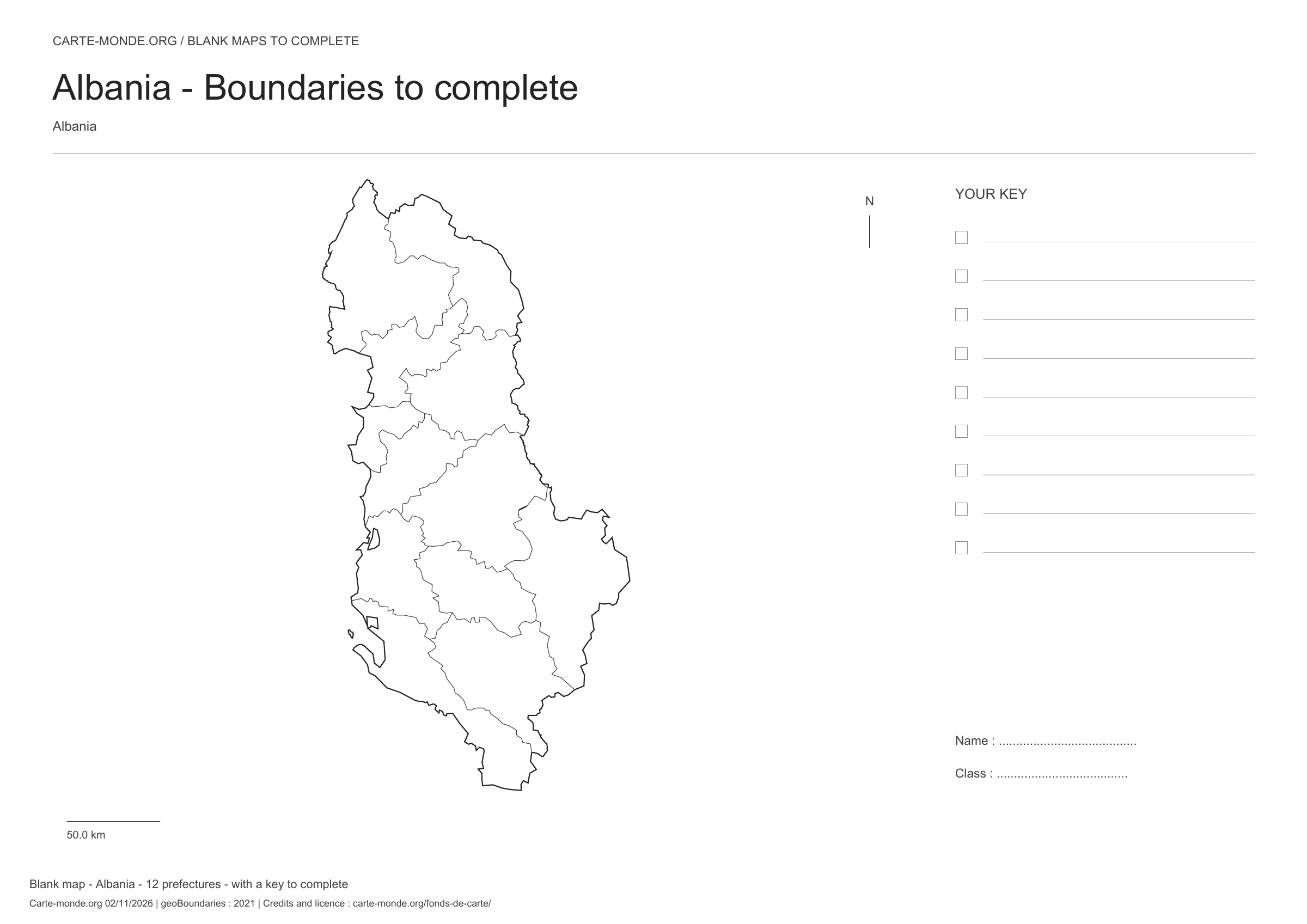
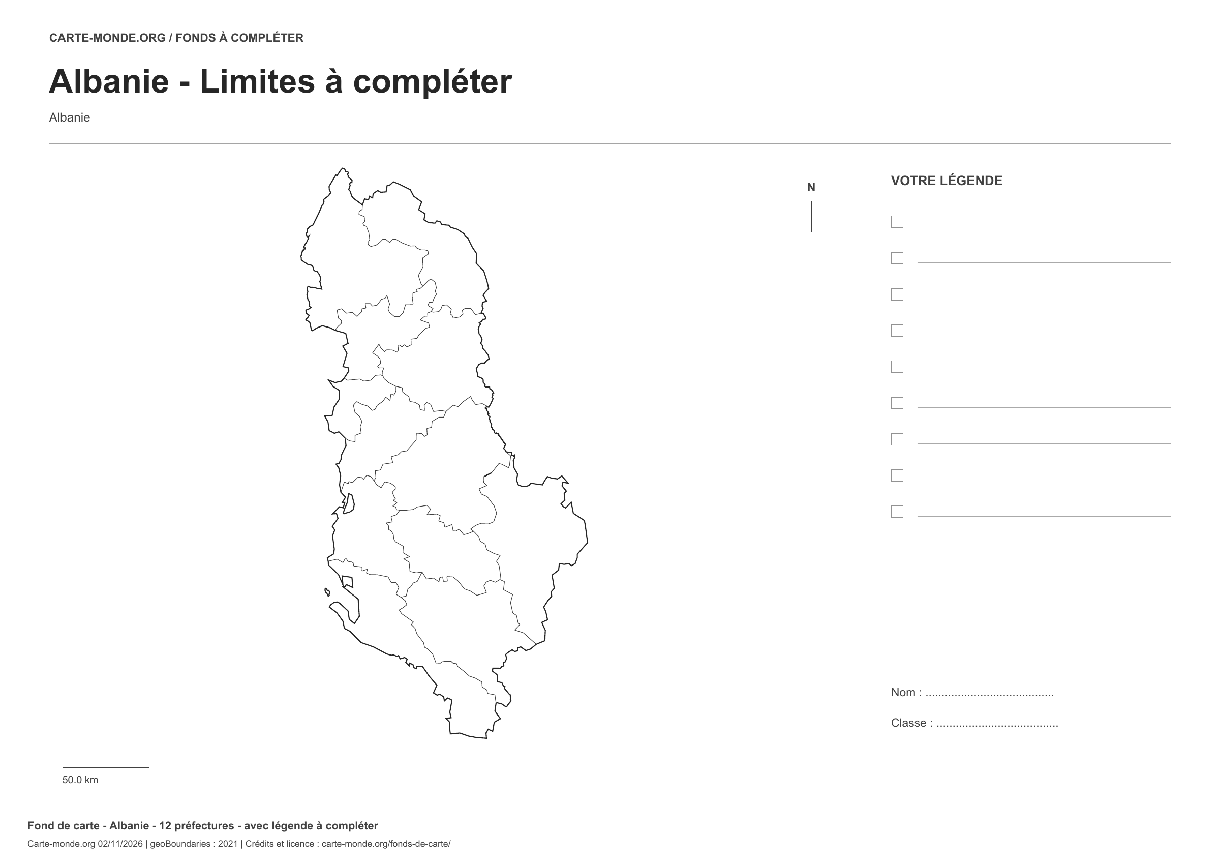
Albania: boundaries with space for a legend, base map without names

Model 2 · November 2026 edition

Boundaries with space for a legend

Divisions shown: 12 prefectures. Add names and colours. Space for your key, name and class.

A4 landscape vector PDF · PNG 2 400 px

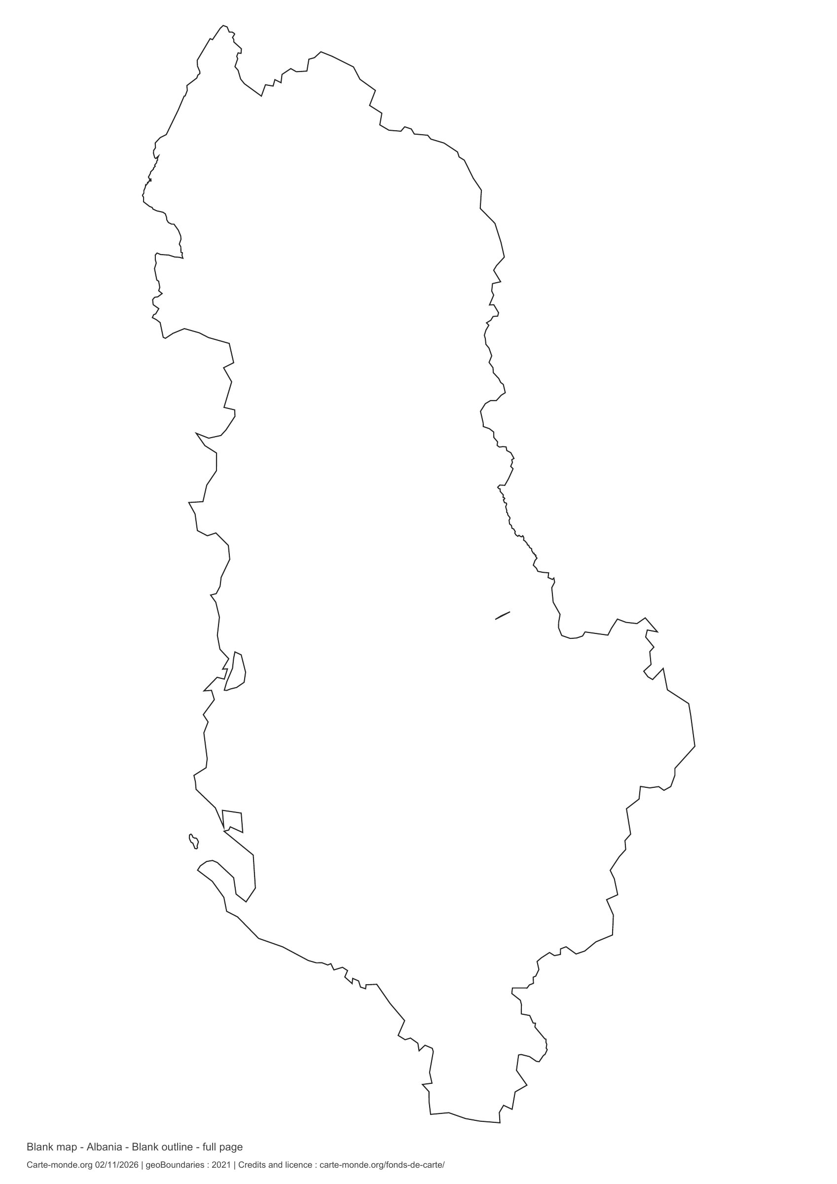
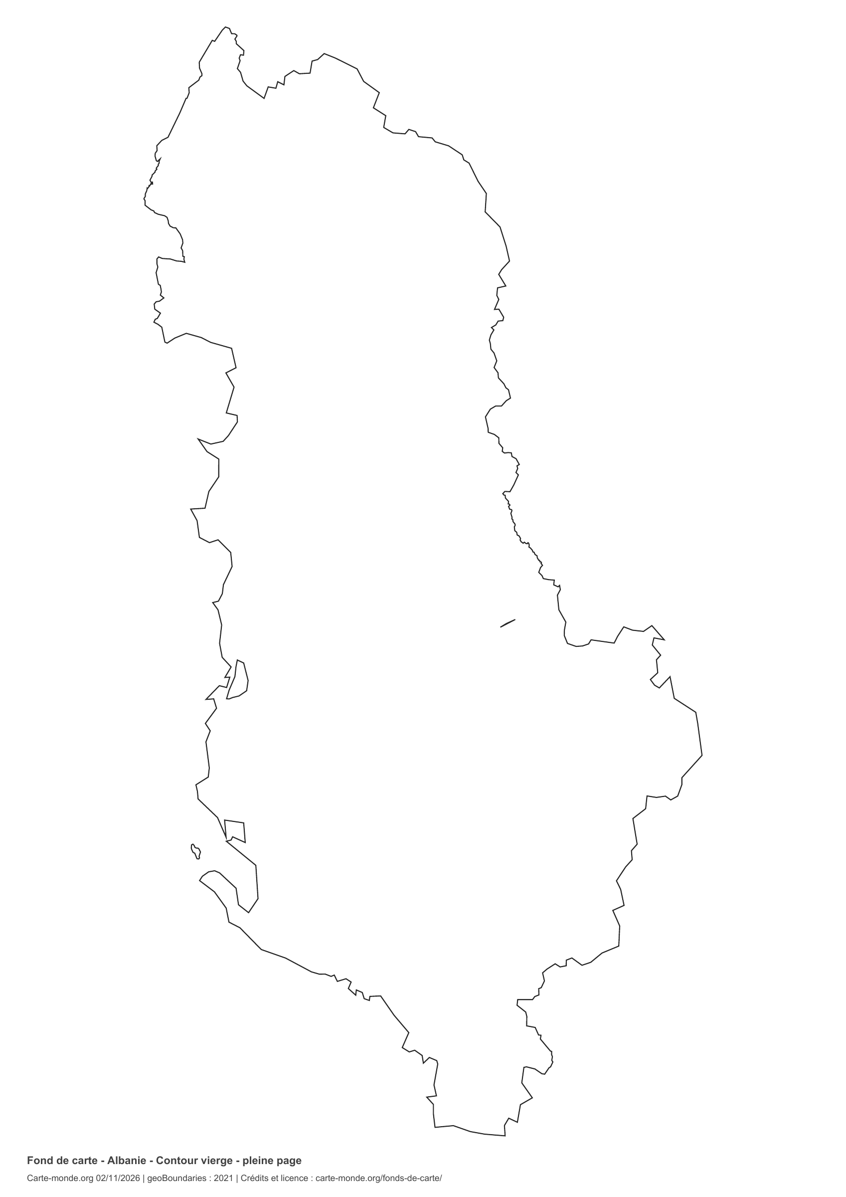
Albania: full-page outline, base map without names

Model 3 · November 2026 edition

Full-page outline

National outline without names or internal boundaries, to complete freely. The map fills almost the entire sheet; only two reference lines appear at the bottom.

A4 portrait vector PDF · PNG 2 400 px

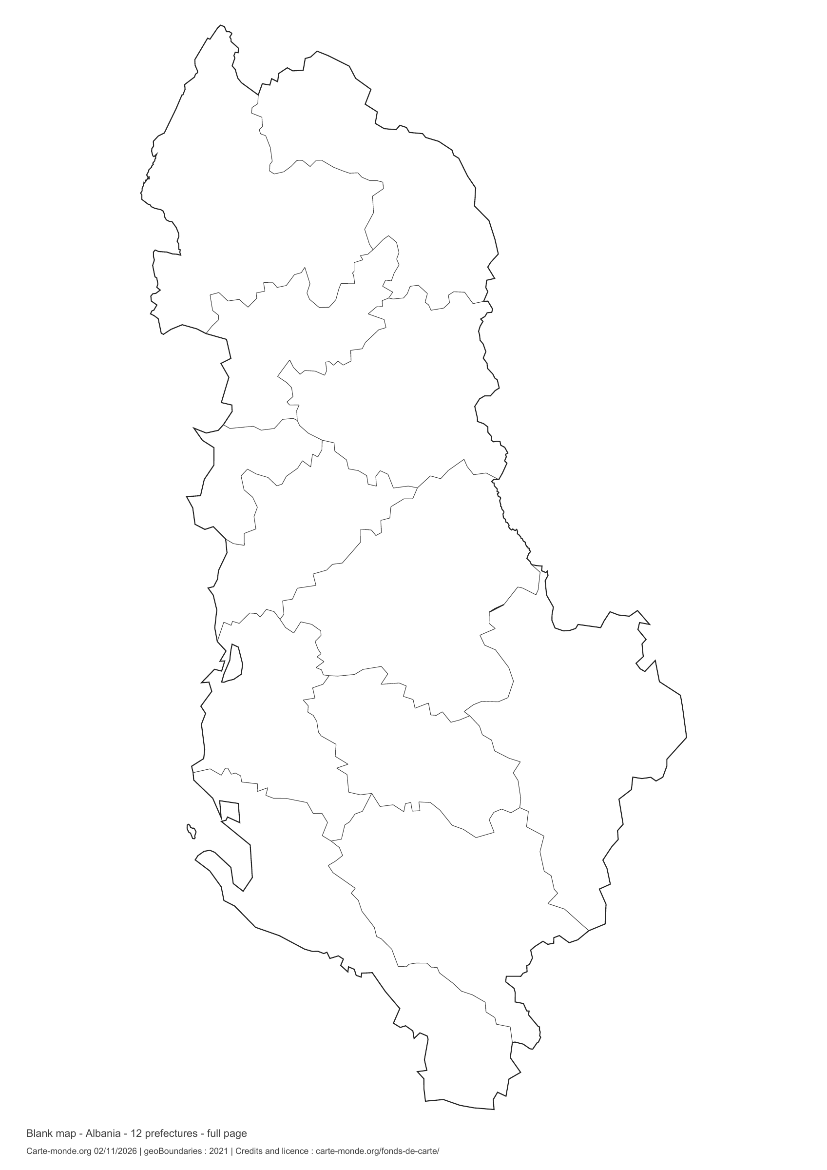
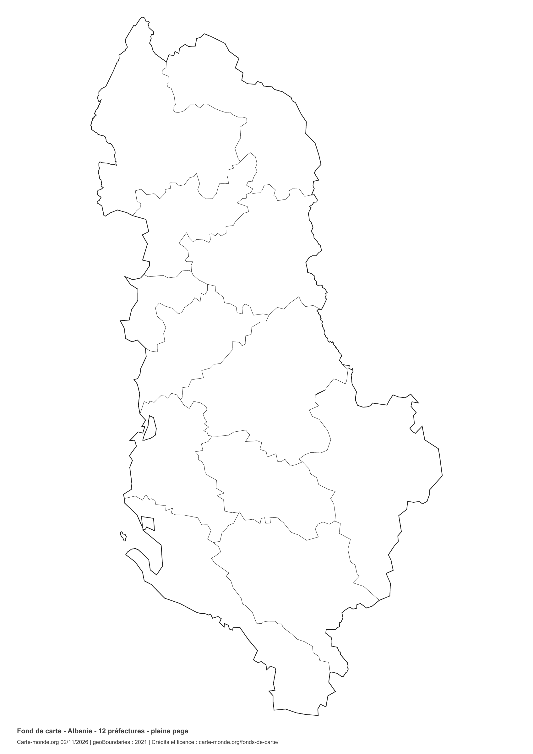
Albania: full-page boundaries, base map without names

Model 4 · November 2026 edition

Full-page boundaries

Divisions shown: 12 prefectures. Add names and colours. The map covers almost the entire sheet; only two reference lines appear at the bottom.

A4 portrait vector PDF · PNG 2 400 px

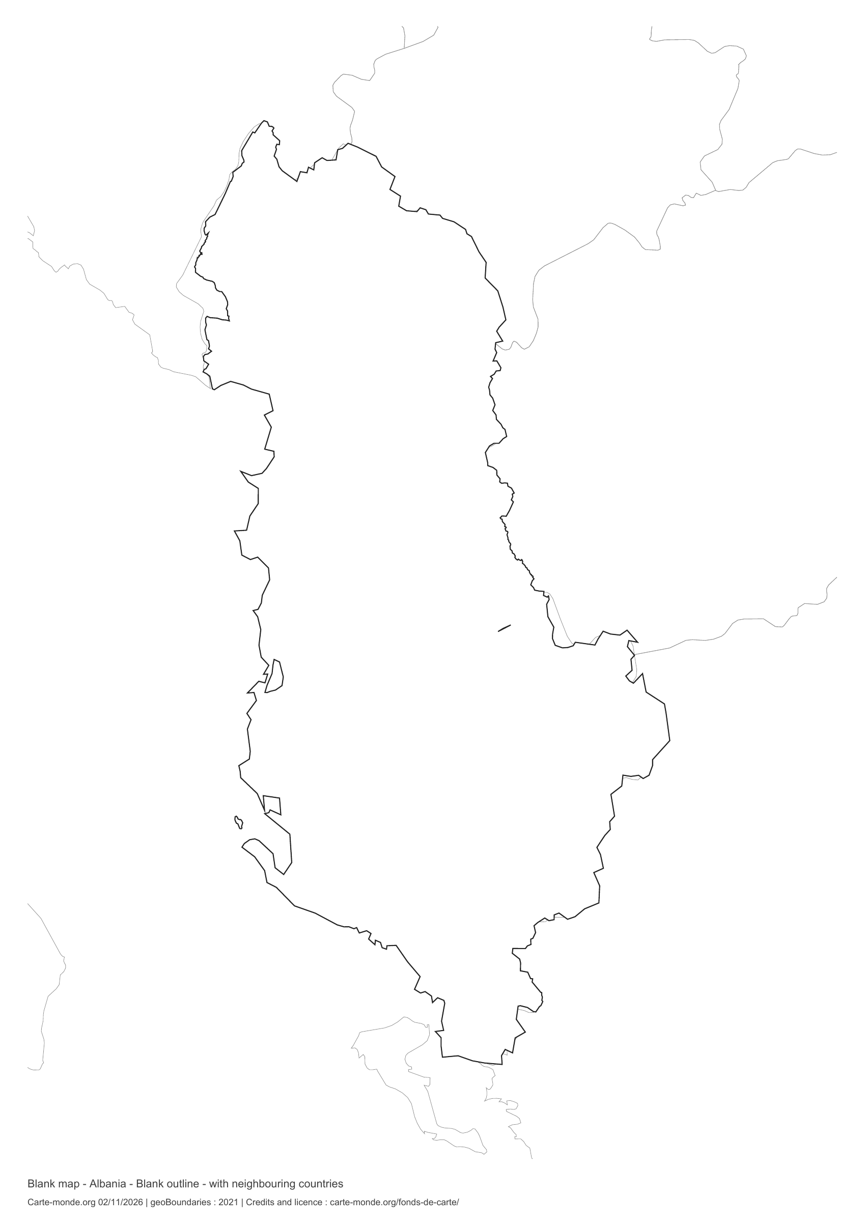
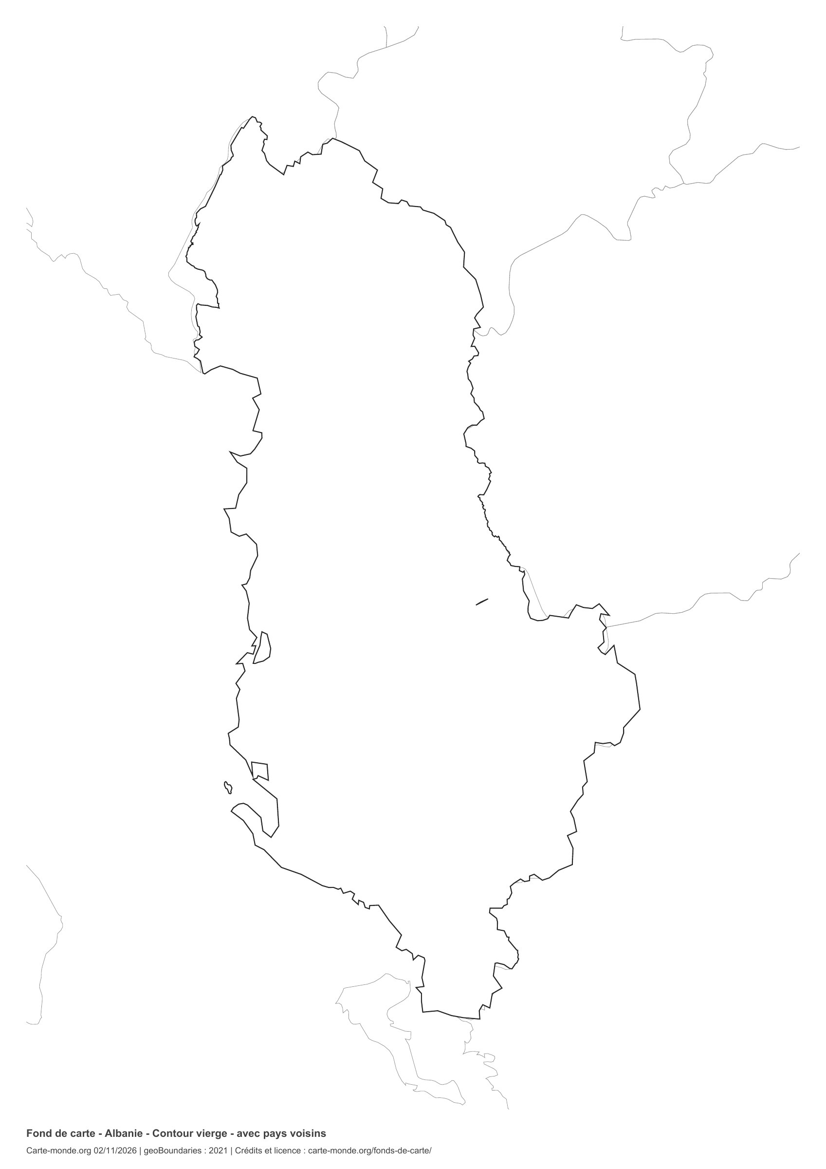
Albania: outline with neighbouring countries, base map without names

Model 5 · November 2026 edition

Outline with neighbouring countries

National outline without names or internal boundaries, to complete freely. Surrounding countries are shown with light outlines, without names or colour fills.

A4 portrait vector PDF · PNG 2 400 px

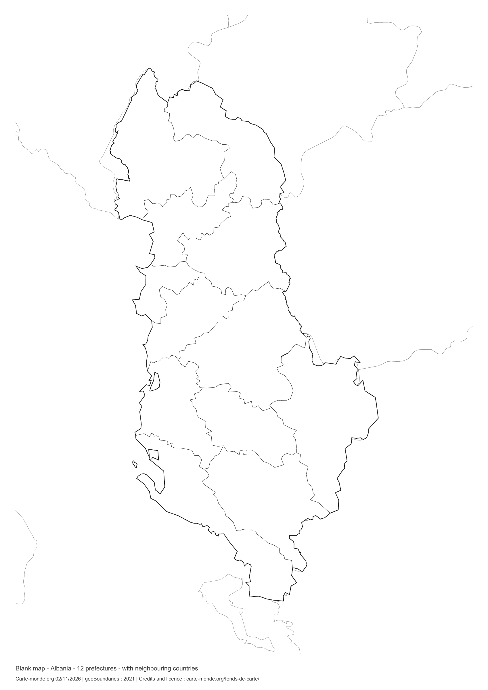
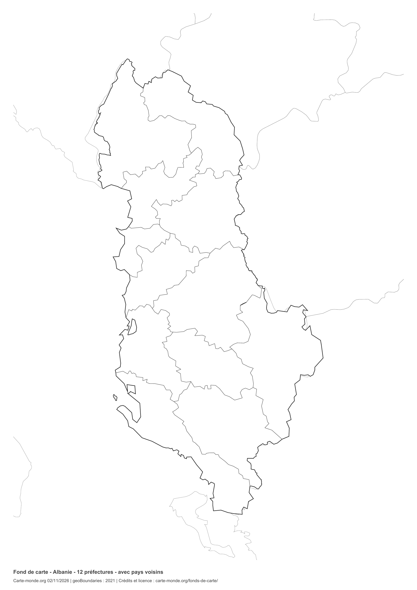
Albania: boundaries with neighbouring countries, base map without names

Model 6 · November 2026 edition

Boundaries with neighbouring countries

Divisions shown: 12 prefectures. Add names and colours. Surrounding countries are shown with light outlines, without names or colour fills.

A4 portrait vector PDF · PNG 2 400 px

The six-base-map pack

The six templates in PDF, PNG and editable SVG, with credits and reuse terms.

Download the six base maps — ZIP

Which base map should I choose?

The outline is suitable for freehand sketches: add a capital, cities or rivers. The version with boundaries lets you color or name the units shown in the divisions. Full-page versions enlarge the country and save ink. The last two maps add neighboring countries for location exercises.

Geographical names are deliberately omitted. Any inset titles indicate only their coverage and individual scales.

Maps of Albania: labelled maps and original collection.

Download and print

  1. Open the PDF for a sharp printout; choose the PNG for a document or presentation.
  2. Print on an A4 sheet using the file’s orientation. Use “Fit to page” if your printer requires it.
  3. Any insets use different scales from the main map. Retain the source notes at the bottom of the sheet.

To edit the outlines, open the pack’s SVG in a vector editor. These generalised maps are intended for exercises and presentations.

Sources and reuse

Geometries: geoBoundaries gbOpen, 2021. Primary source: geoBoundaries, Wikipedia. Licence stated in the metadata: Public Domain. View the source metadata.

Neighbouring country outlines: Natural Earth 5.1.1, public domain. Layout by Carte-monde.org, 2 November 2026 edition, under CC BY 4.0. The data retain their attributions and licences; consult the ZIP notes before reuse.

Example credit: Carte-monde.org, edition dated 2 November 2026 — geoBoundaries / geoBoundaries, Wikipedia.

Continue exploring

Maps of Albania · Maps of European countries · Other maps and archives

Original French files

Printable base maps of Austria

AUSTRIA · MAPS TO COMPLETE

Download a blank map of Austria to add names, prepare a sketch map or colour territories. Six black-and-white versions are available: outlines and boundaries, with space for a key, full-page or with neighbouring countries. Each map is available as an A4 PDF and PNG.

Our six blank maps have English labels.

Six base maps of Austria to complete

Coverage: Austria. Divisions: 9 Länder.

Geographic reference year: 2017. The files’ edition date does not mean that all boundaries have been updated.

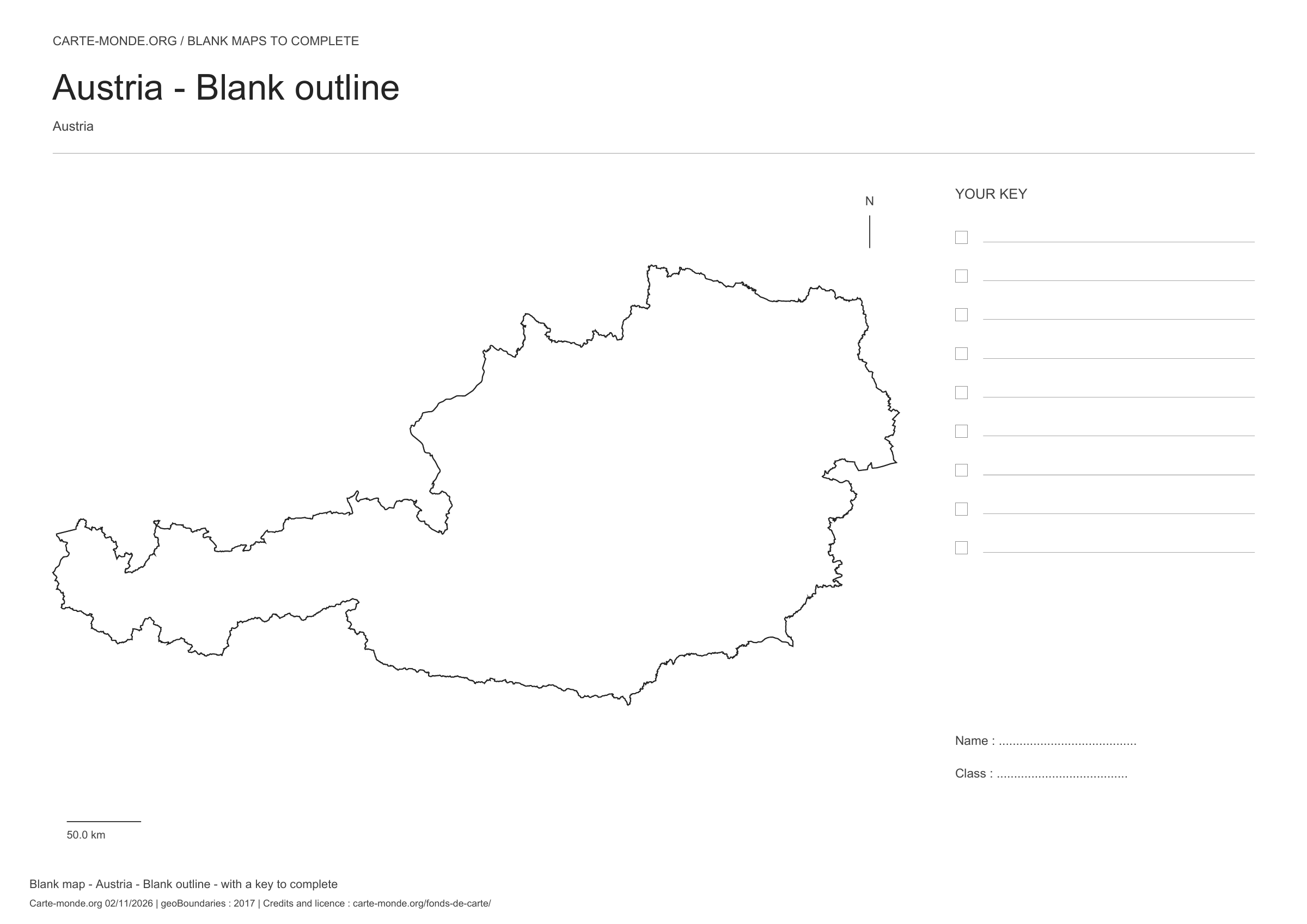
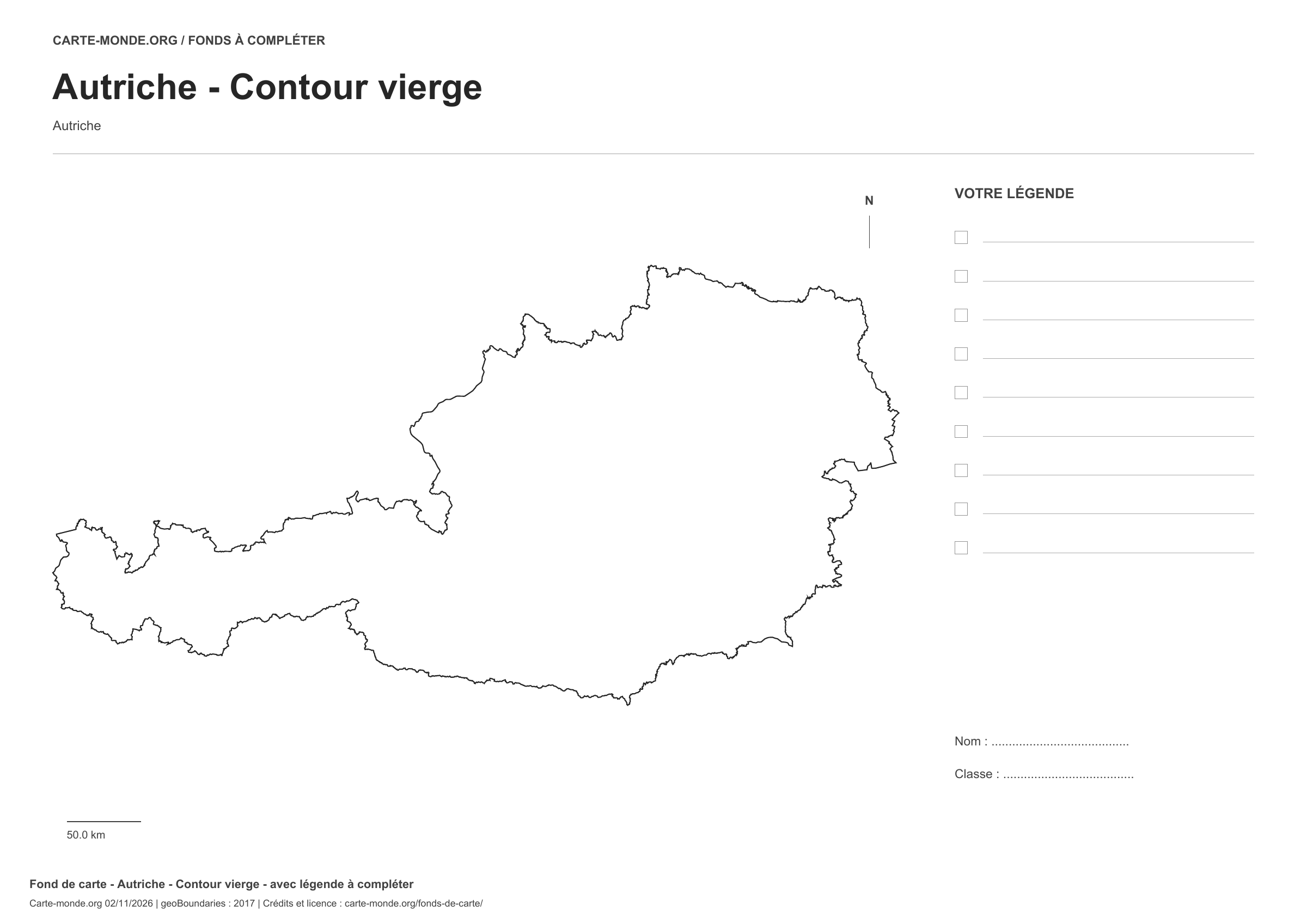
Austria: outline with space for a legend, base map without names

Model 1 · November 2026 edition

Outline with space for a legend

National outline without names or internal boundaries, to complete freely. Space for your key, name and class.

A4 landscape vector PDF · PNG 2 400 px

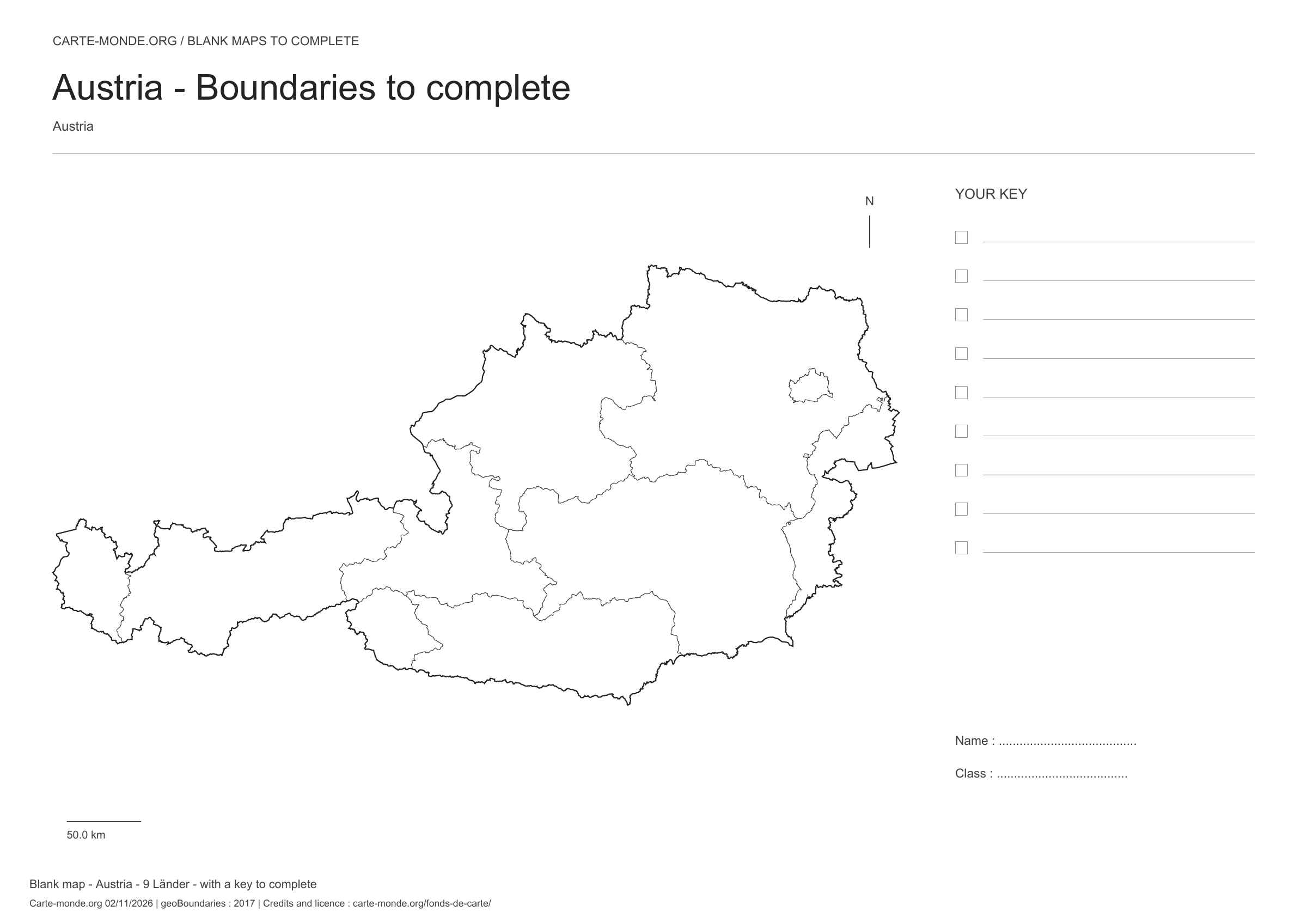
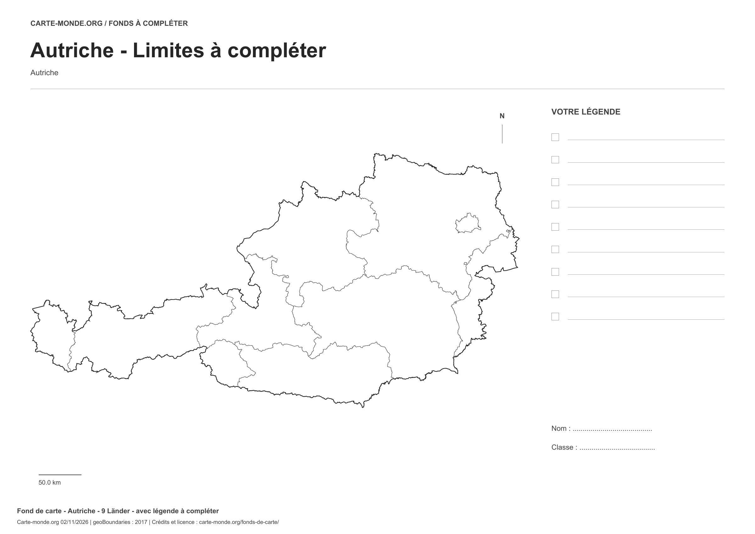
Austria: boundaries with space for a legend, base map without names

Model 2 · November 2026 edition

Boundaries with space for a legend

Divisions shown: 9 Länder. Add names and colors. Space for your legend, name and class.

A4 landscape vector PDF · PNG 2 400 px

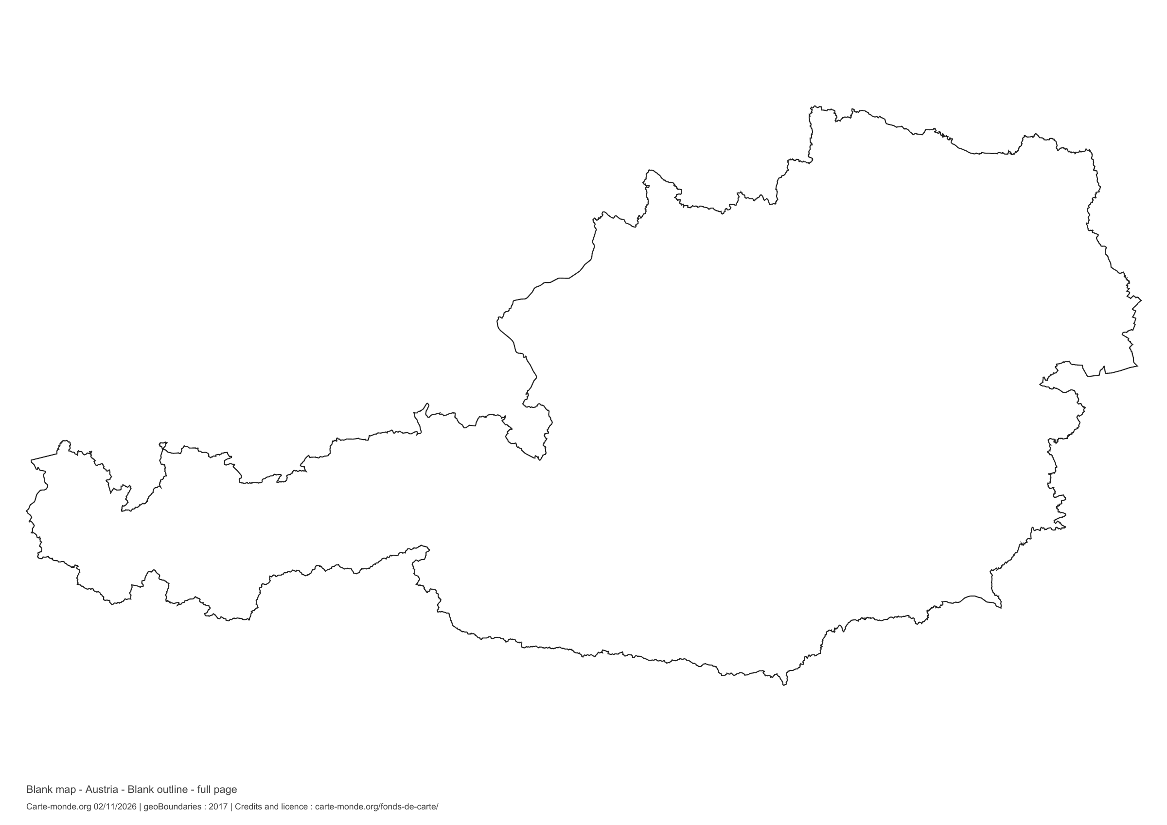
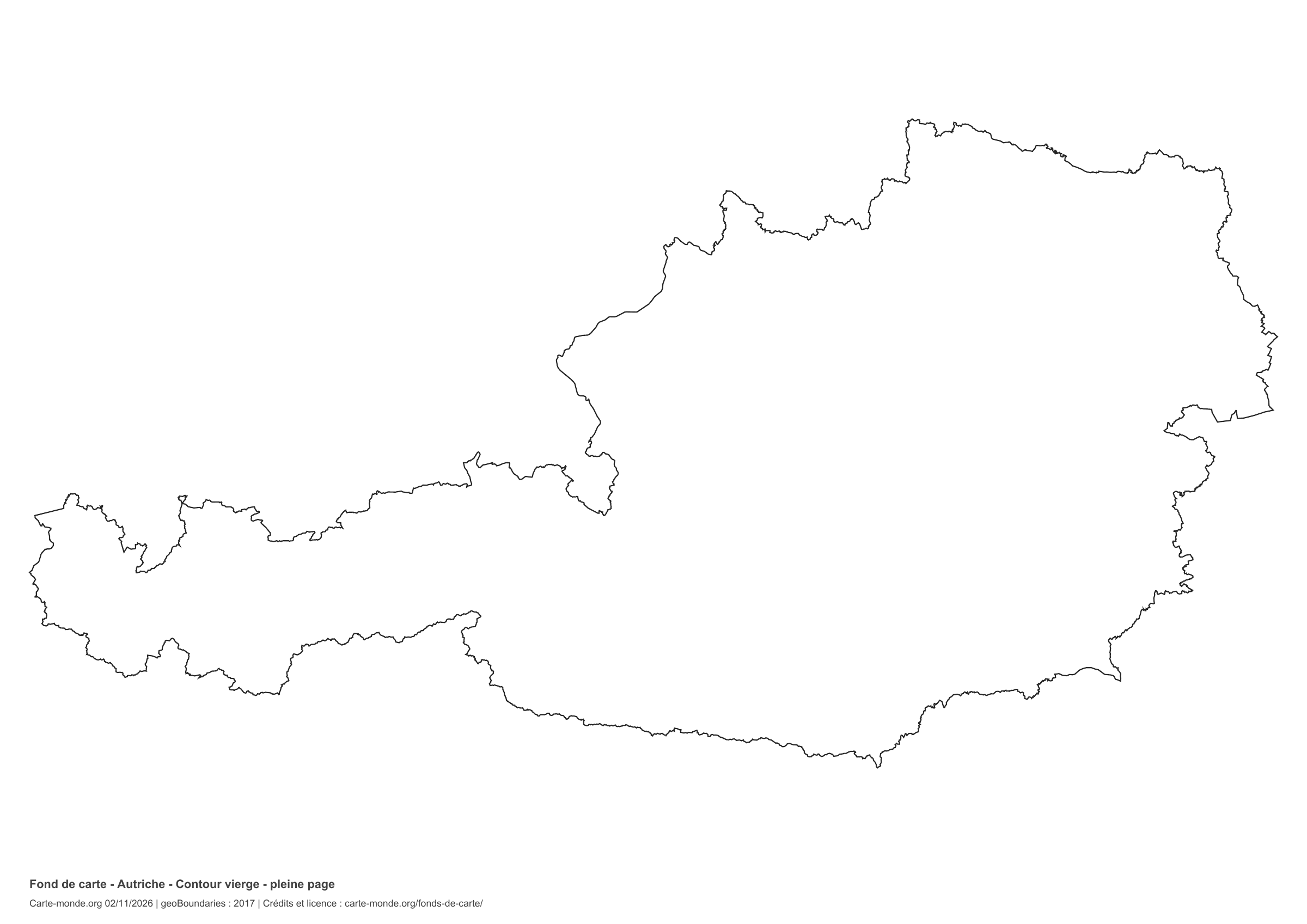
Austria: full-page outline, base map without names

Model 3 · November 2026 edition

Full-page outline

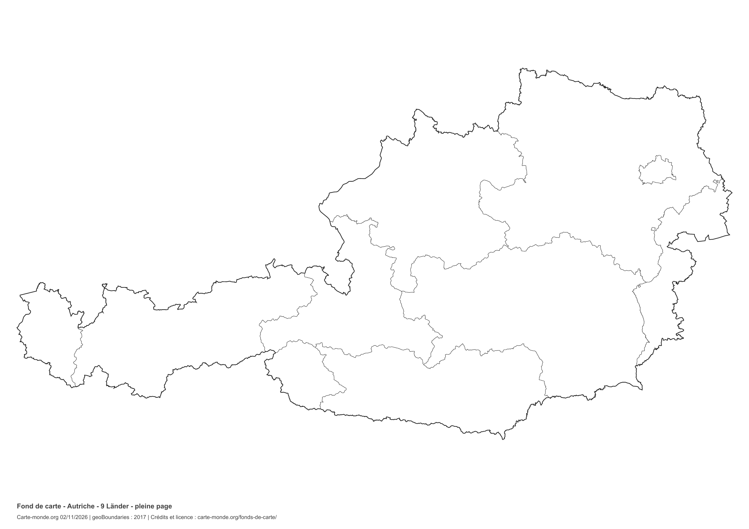
National outline without names or internal boundaries, to complete freely. The map fills almost the entire sheet; only two reference lines appear at the bottom.

A4 landscape vector PDF · PNG 2 400 px

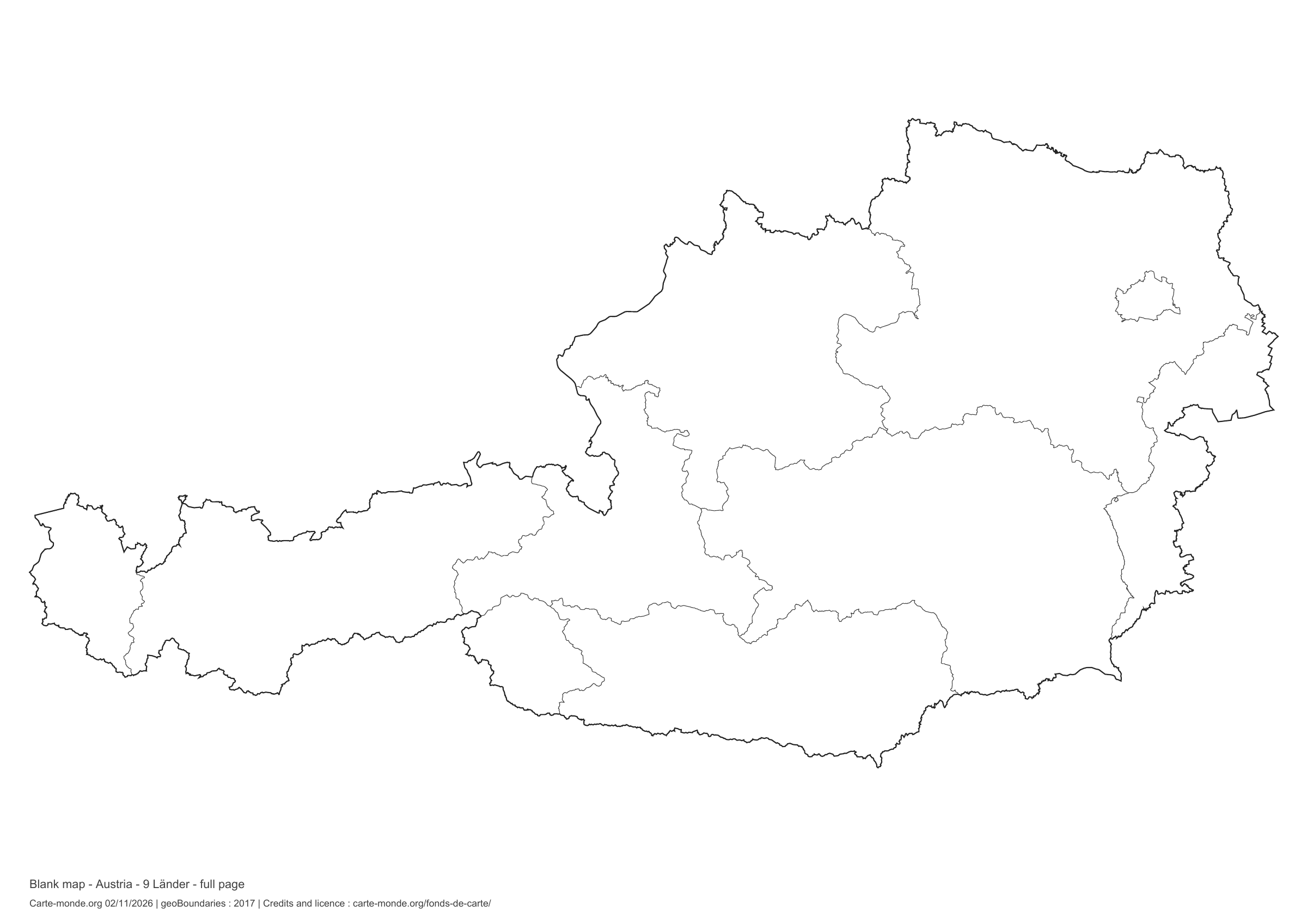
Austria: full-page boundaries, base map without names

Model 4 · November 2026 edition

Full-page boundaries

Divisions shown: 9 Länder. Add names and colours. The map fills almost the entire sheet; only two reference lines appear at the bottom.

A4 landscape vector PDF · PNG 2 400 px

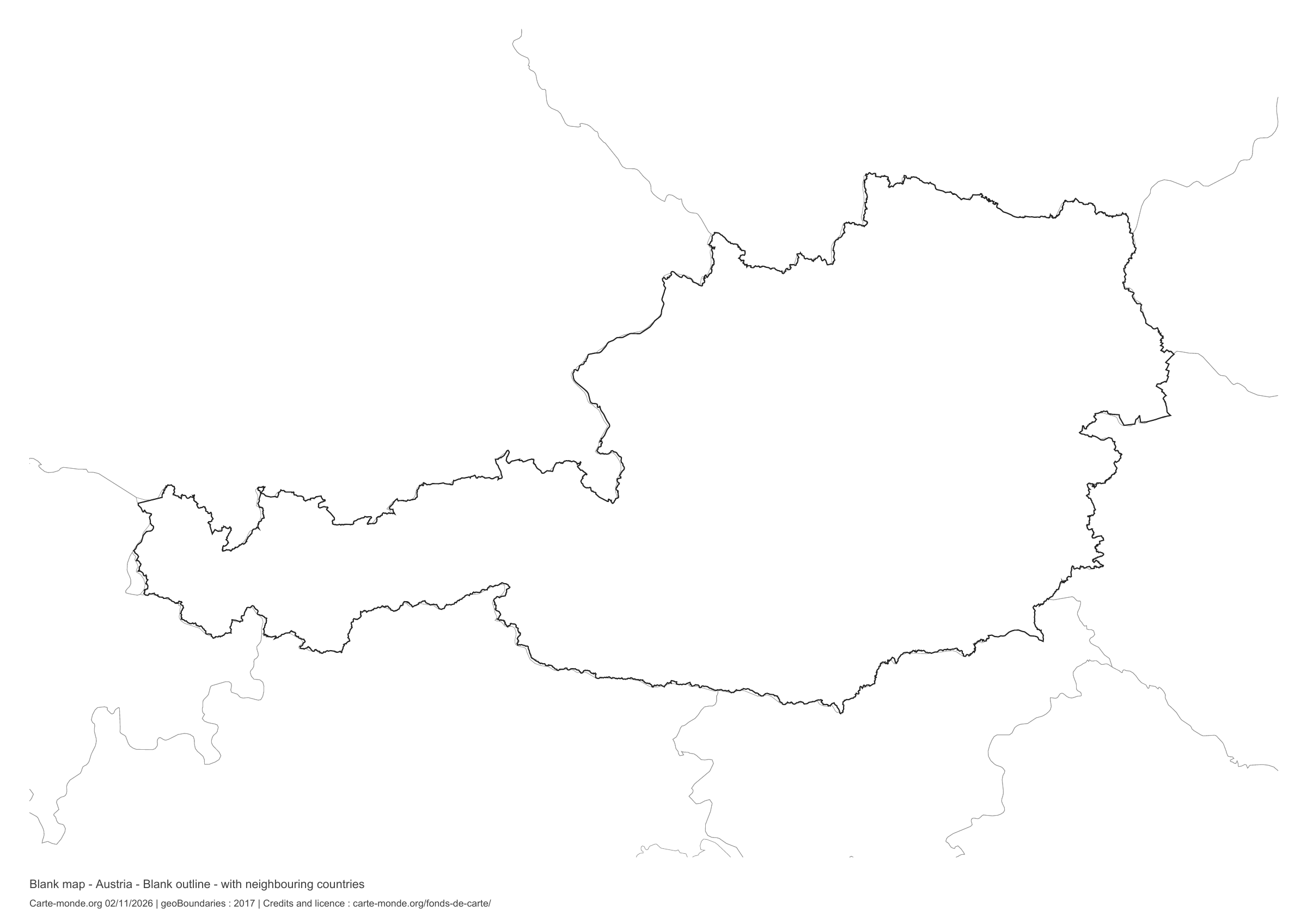
Austria: outline with neighbouring countries, base map without names

Model 5 · November 2026 edition

Outline with neighbouring countries

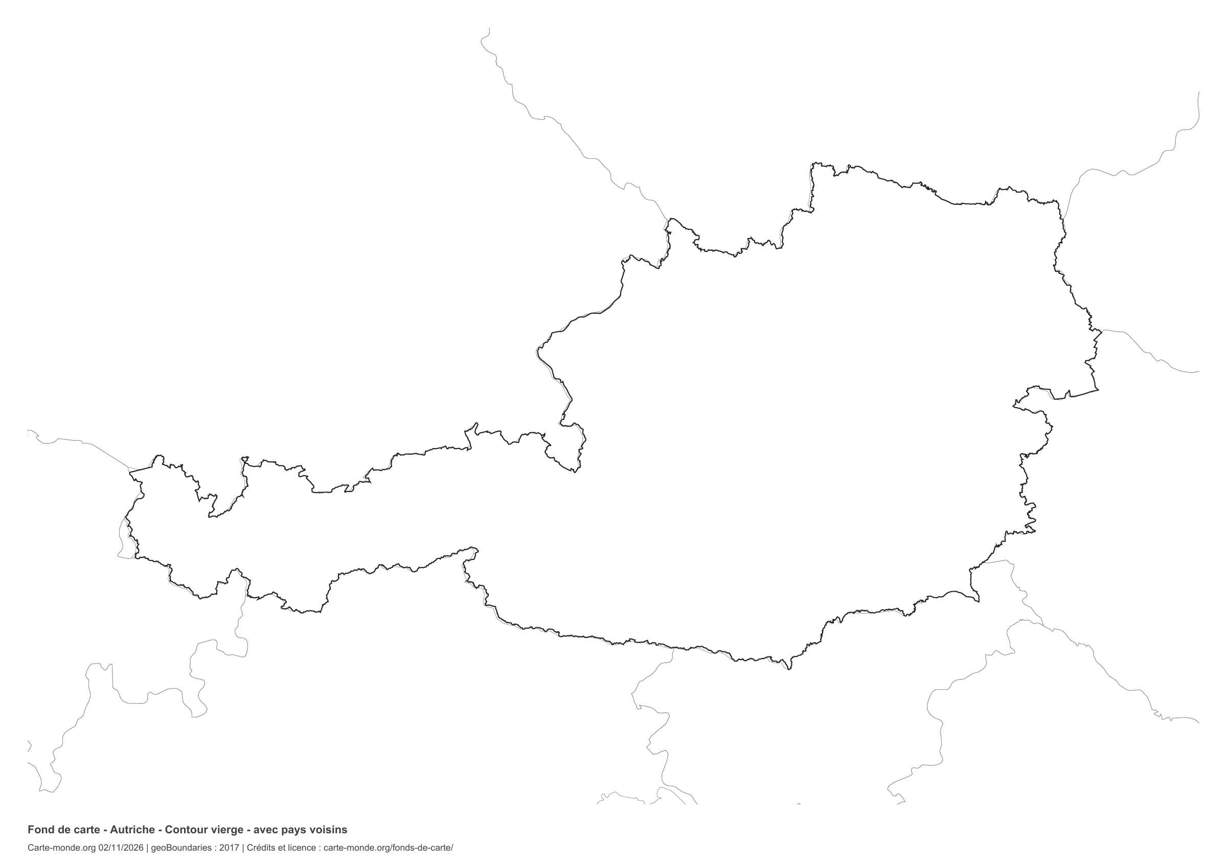
National outline without names or internal boundaries, to complete freely. Surrounding countries are shown with light outlines, without names or colour fills.

A4 landscape vector PDF · PNG 2 400 px

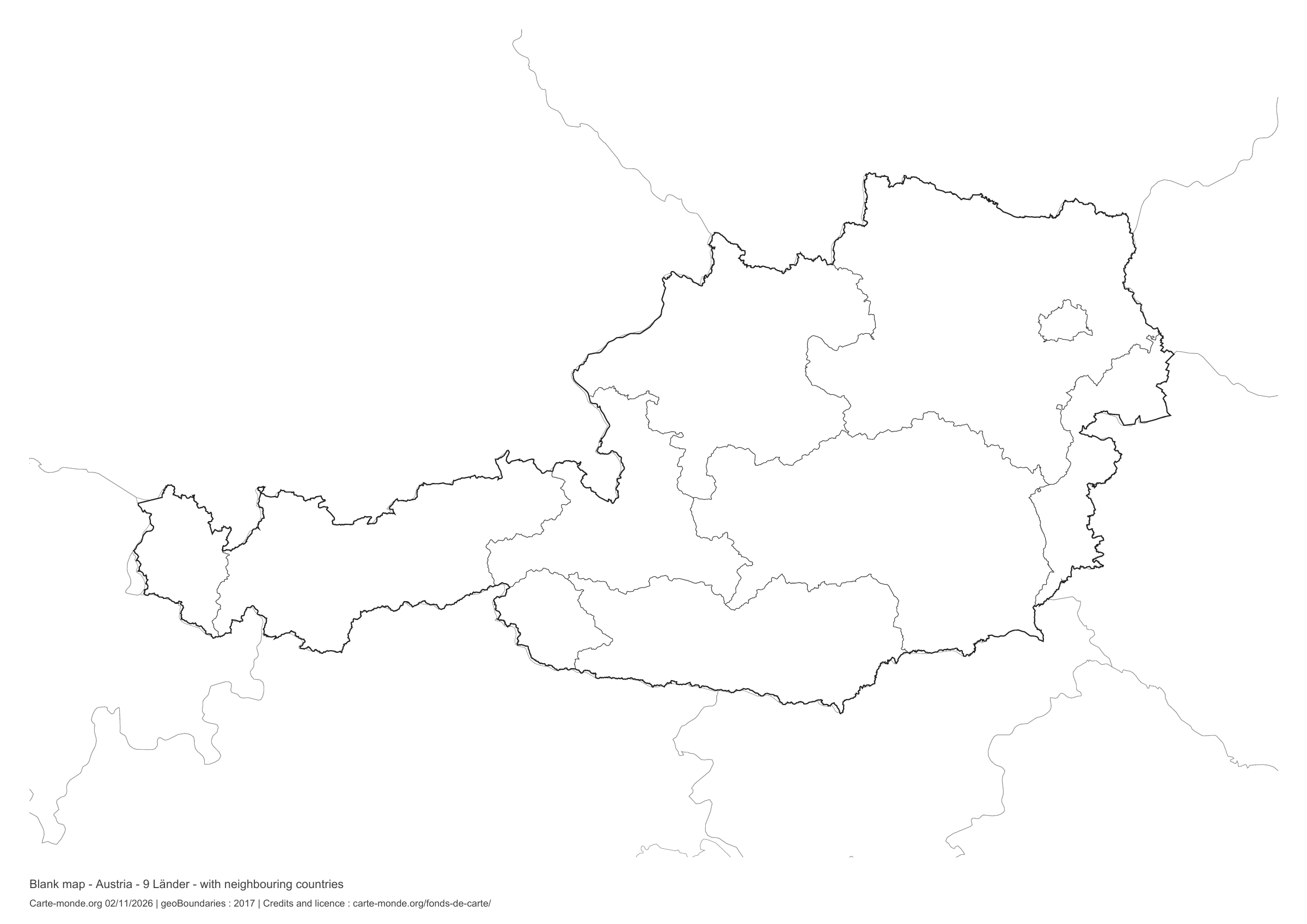
Austria: boundaries with neighbouring countries, base map without names

Model 6 · November 2026 edition

Boundaries with neighbouring countries

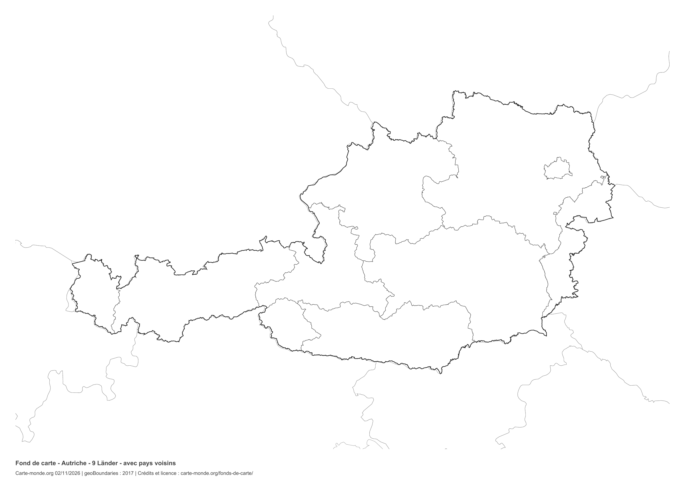
Divisions shown: 9 Länder. Add names and colours. Surrounding countries are shown with light outlines, without names or colour fills.

A4 landscape vector PDF · PNG 2 400 px

The six-base-map pack

The six templates in PDF, PNG and editable SVG, with credits and reuse terms.

Download the six base maps — ZIP

Which base map should I choose?

The outline is suitable for freehand sketches: add a capital, cities or rivers. The version with boundaries lets you color or name the units shown in the divisions. Full-page versions enlarge the country and save ink. The last two maps add neighboring countries for location exercises.

Geographical names are deliberately omitted. Any inset titles indicate only their coverage and individual scales.

Maps of Austria: labelled maps and original collection.

Download and print

  1. Open the PDF for a sharp printout; choose the PNG for a document or presentation.
  2. Print on an A4 sheet using the file’s orientation. Use “Fit to page” if your printer requires it.
  3. Any insets use different scales from the main map. Retain the source notes at the bottom of the sheet.

To edit the outlines, open the pack’s SVG in a vector editor. These generalised maps are intended for exercises and presentations.

Sources and reuse

Geometries: geoBoundaries gbOpen, 2017. Primary source: geoBoundaries, Federal Office for Metrology and Survey, Austria. Licence stated in the metadata: Creative Commons Attribution-ShareAlike 2.0. View the source metadata.

Neighbouring country outlines: Natural Earth 5.1.1, public domain. Layout by Carte-monde.org, 2 November 2026 edition, under CC BY 4.0. The data retain their attributions and licences; consult the ZIP notes before reuse.

Example credit: Carte-monde.org, edition dated 2 November 2026 — geoBoundaries / geoBoundaries, Federal Office for Metrology and Survey, Austria.

Continue exploring

Maps of Austria · Maps of European countries · Other maps and archives

Original French files

Printable base maps of Belarus

BELARUS · MAPS TO COMPLETE

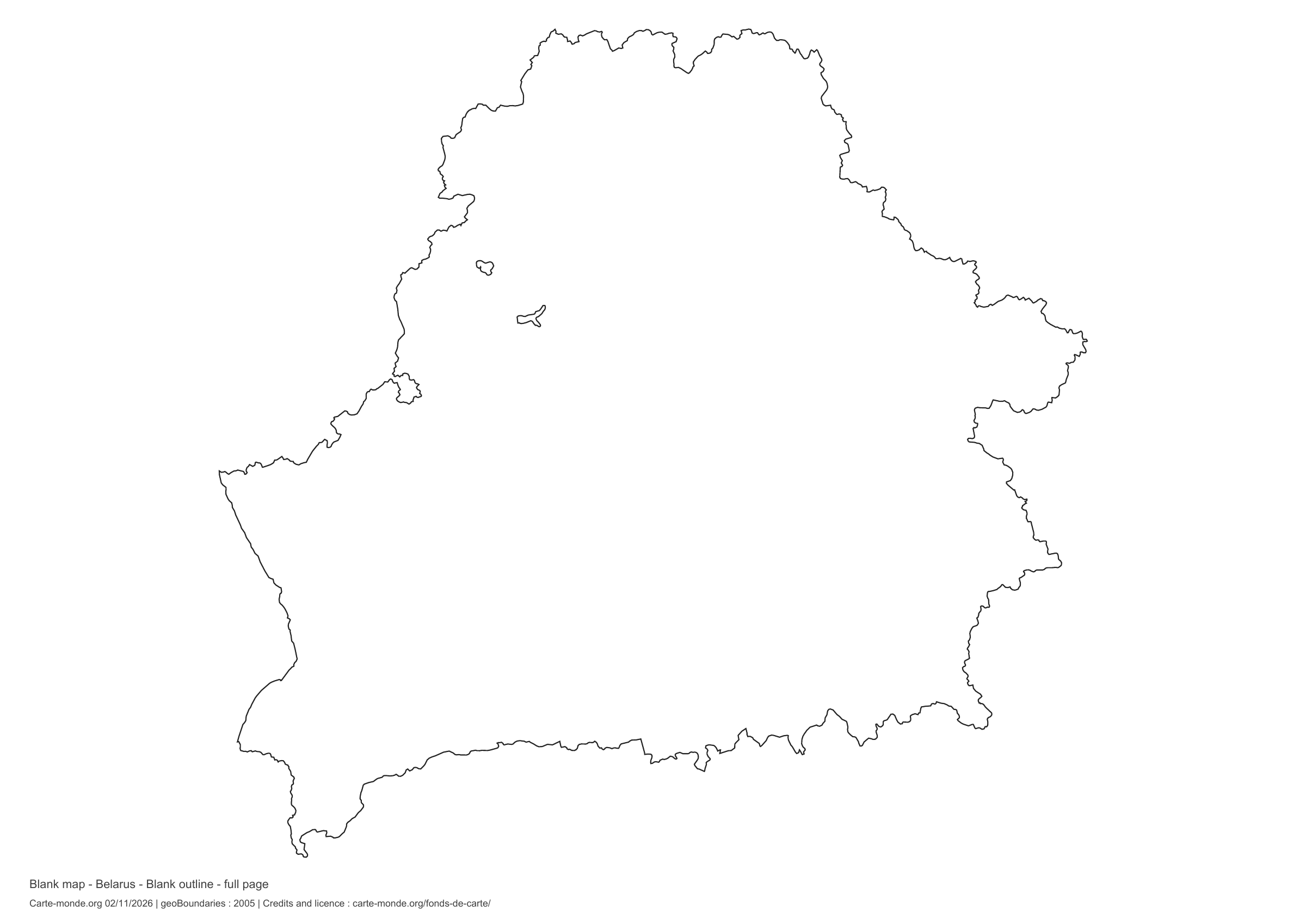
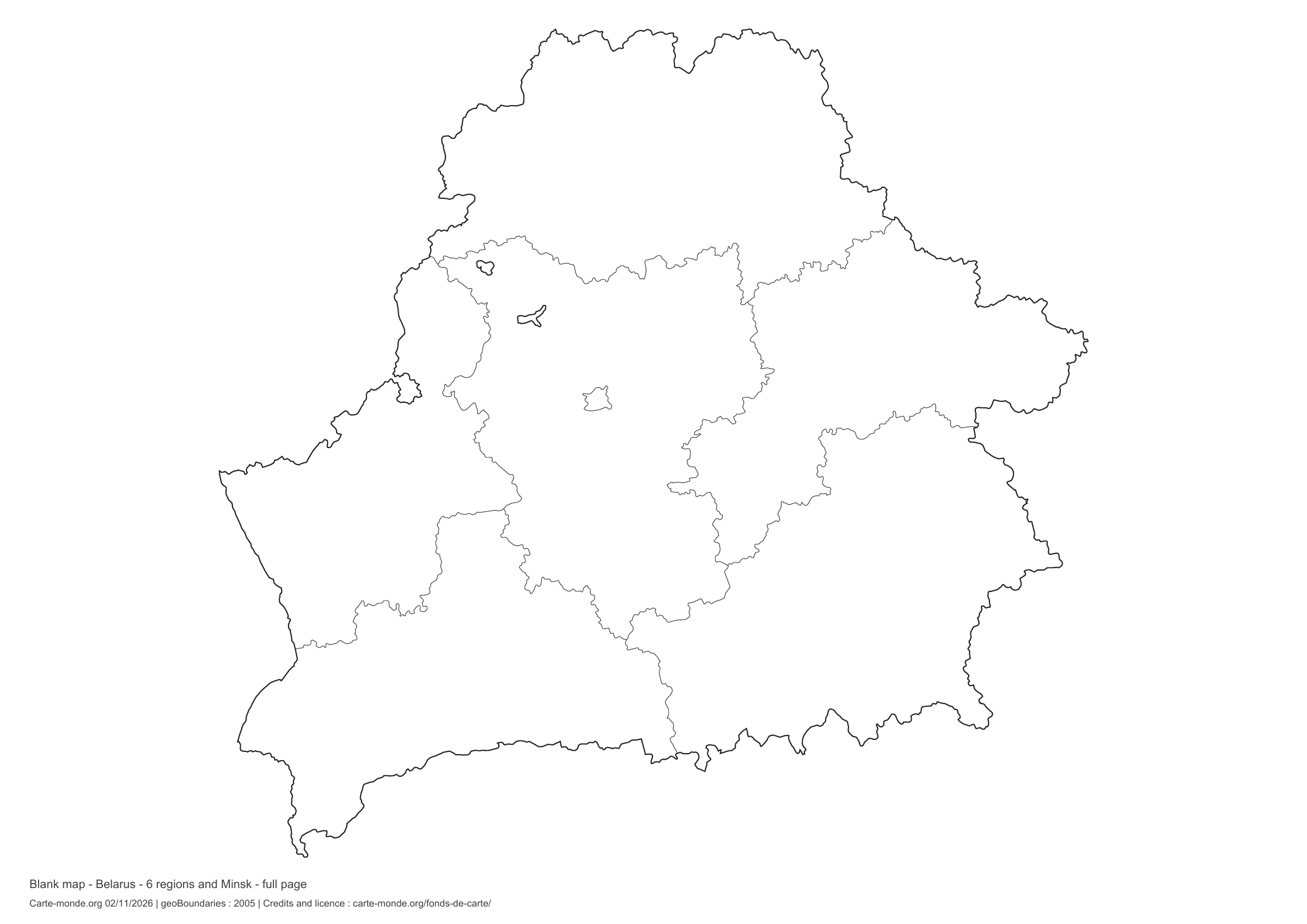
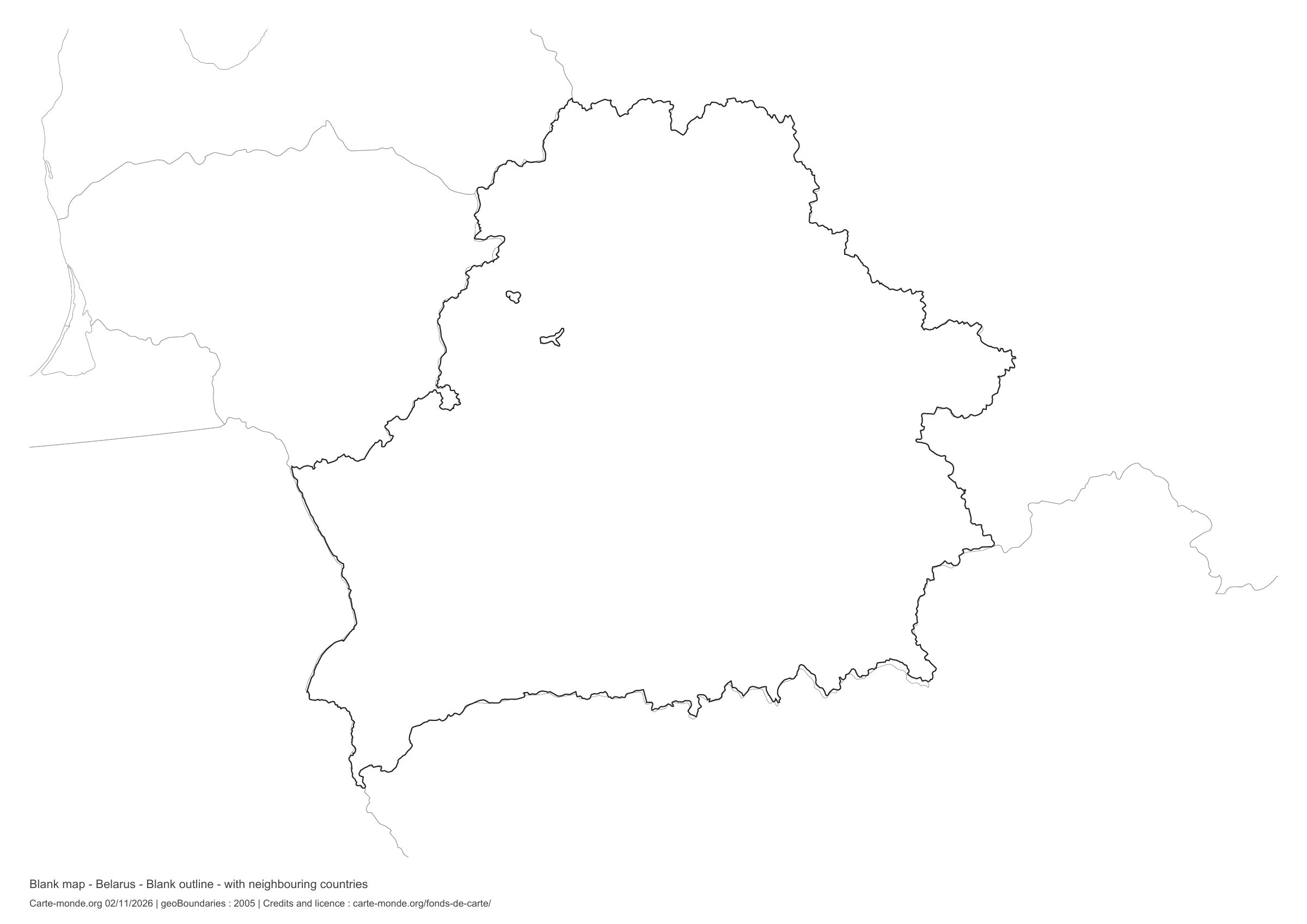
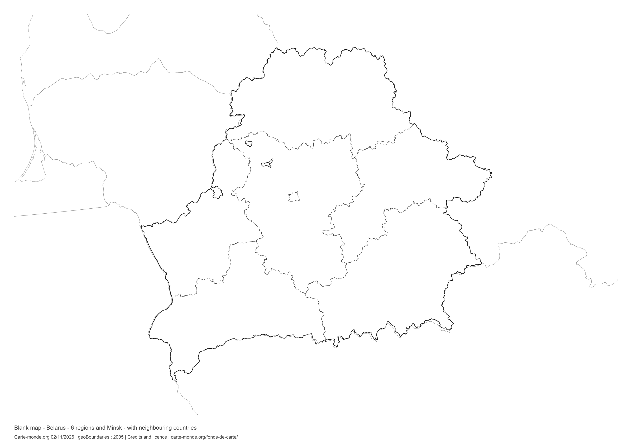
Download a blank map of Belarus to add names, prepare a sketch map or colour territories. Six black-and-white versions are available: outlines and boundaries, with space for a key, full-page or with neighbouring countries. Each map is available as an A4 PDF and PNG.

Our six blank maps have English labels.

Six base maps of Belarus to complete

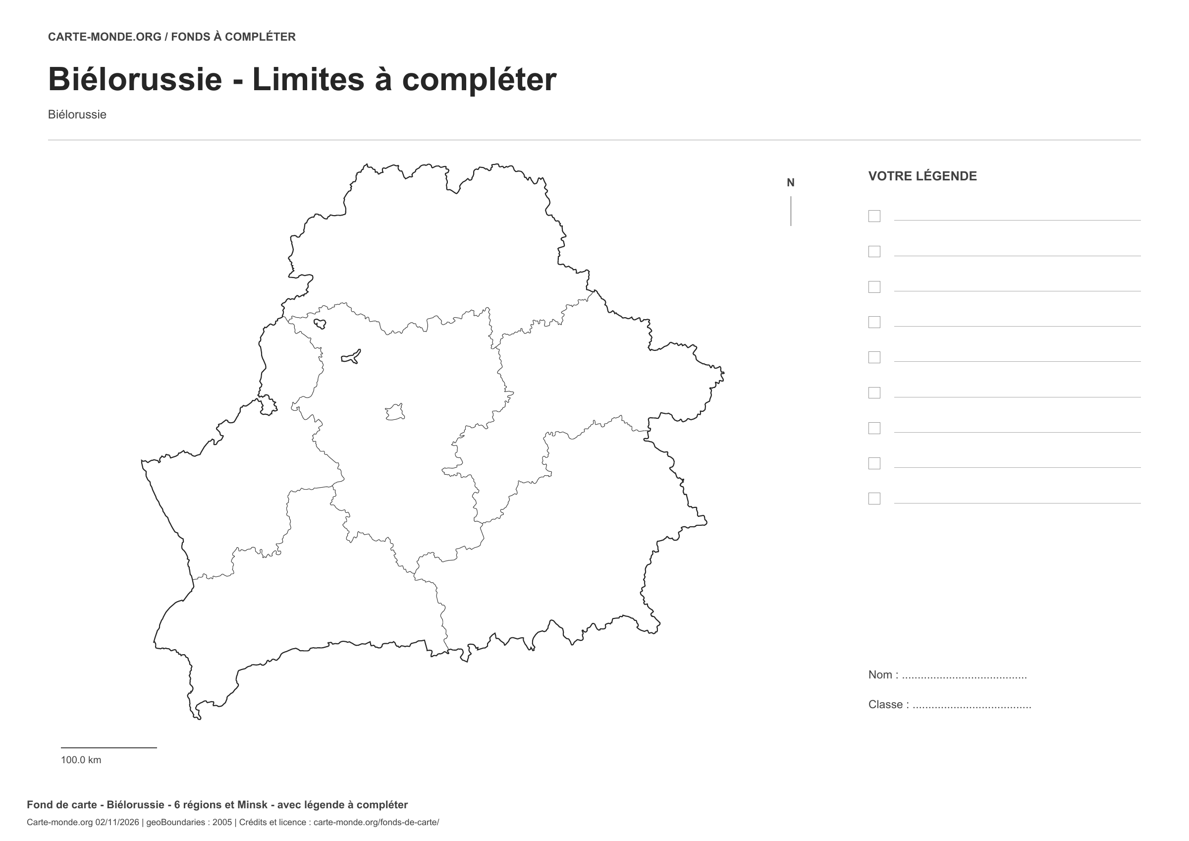
Coverage: Belarus. Divisions: 6 regions and Minsk.

Geographic reference year: 2005. The files’ edition date does not mean that all boundaries have been updated.

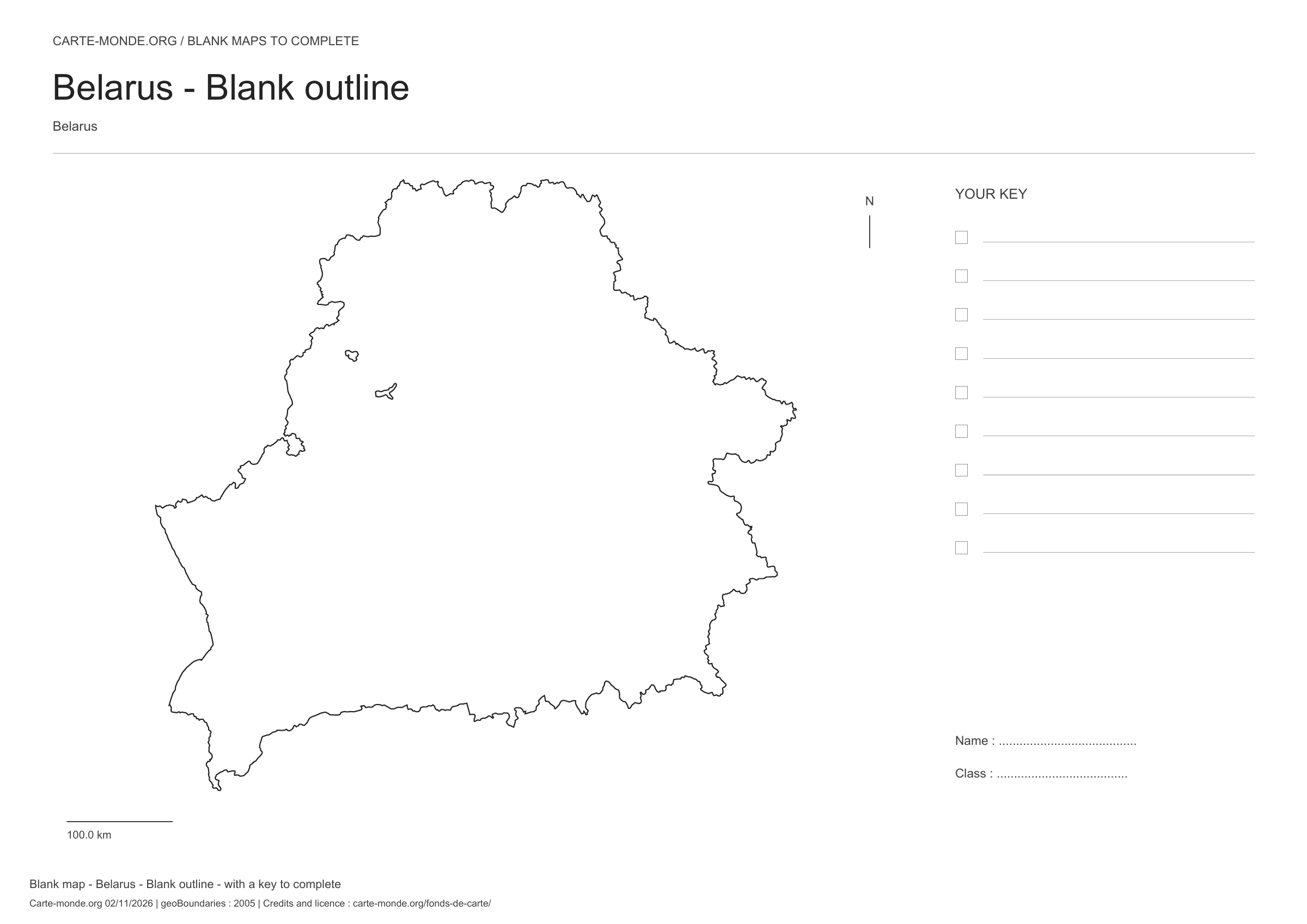
Belarus: outline with space for a legend, base map without names

Model 1 · November 2026 edition

Outline with space for a legend

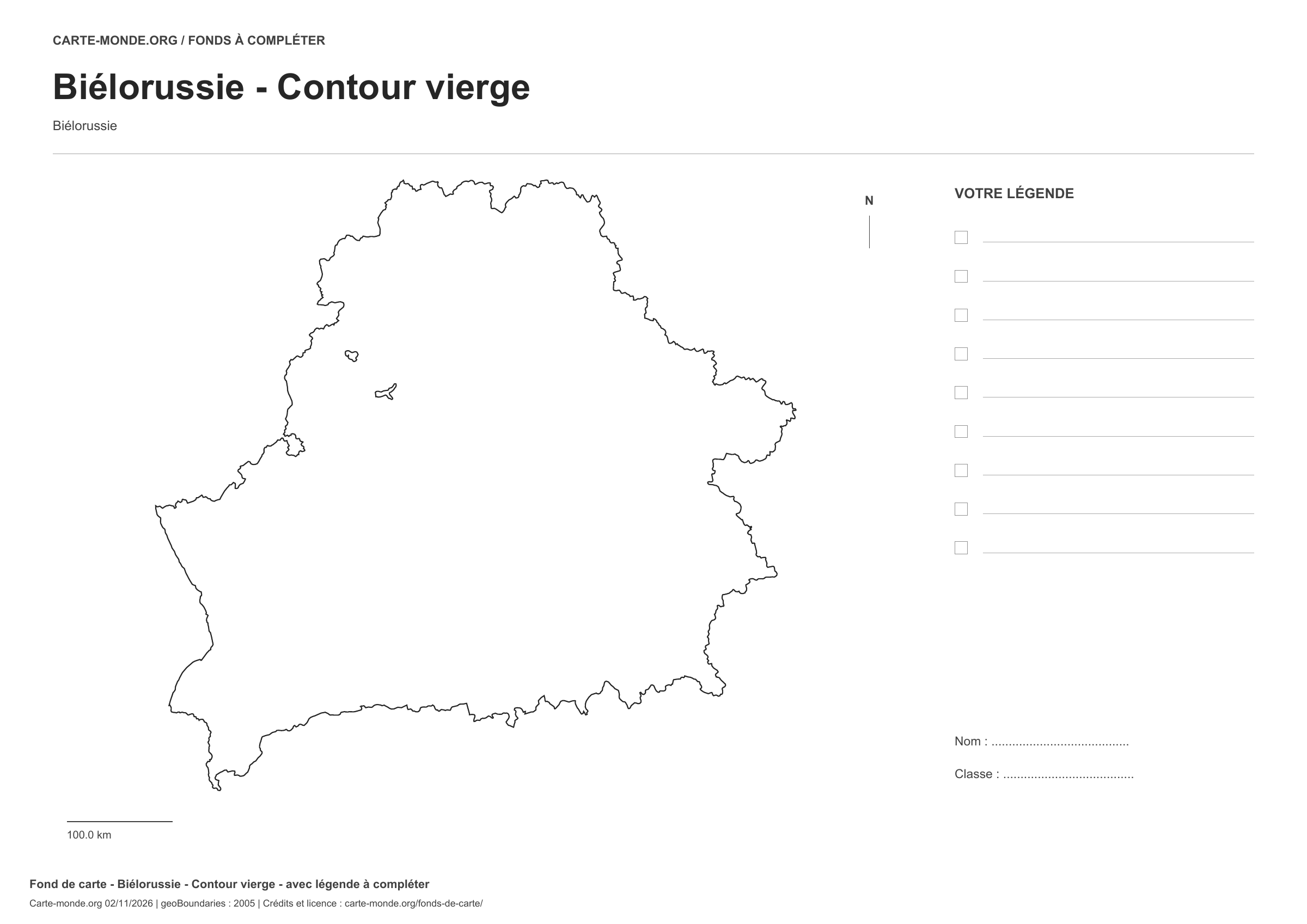
National outline without names or internal boundaries, to complete freely. Space for your key, name and class.

A4 landscape vector PDF · PNG 2 400 px

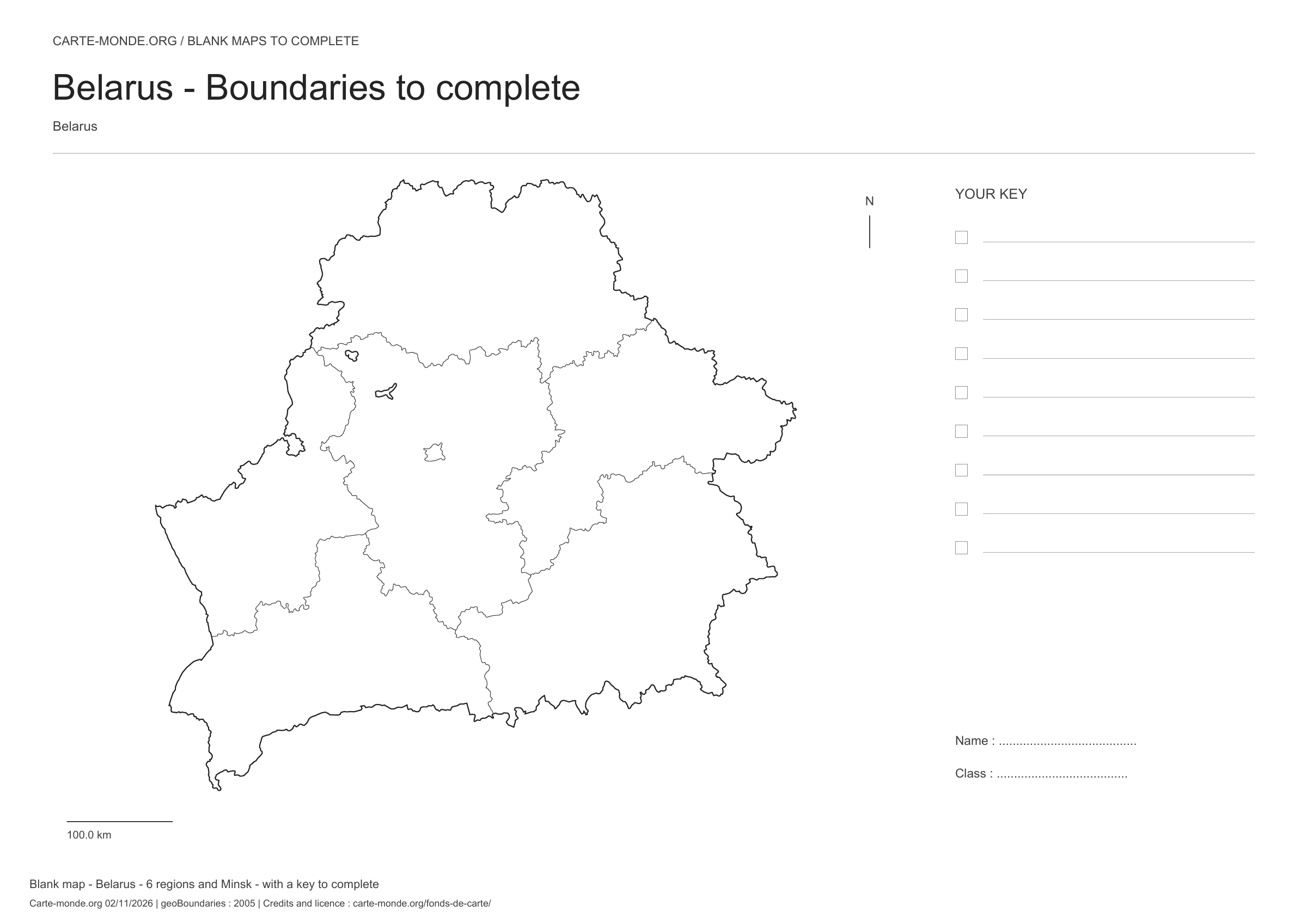
Belarus: boundaries with space for a legend, base map without names

Model 2 · November 2026 edition

Boundaries with space for a legend

Divisions shown: 6 regions and Minsk. Add names and colors. Space for your legend, name and class.

A4 landscape vector PDF · PNG 2 400 px

Belarus: full-page outline, base map without names

Model 3 · November 2026 edition

Full-page outline

National outline without names or internal boundaries, to complete freely. The map fills almost the entire sheet; only two reference lines appear at the bottom.

A4 landscape vector PDF · PNG 2 400 px

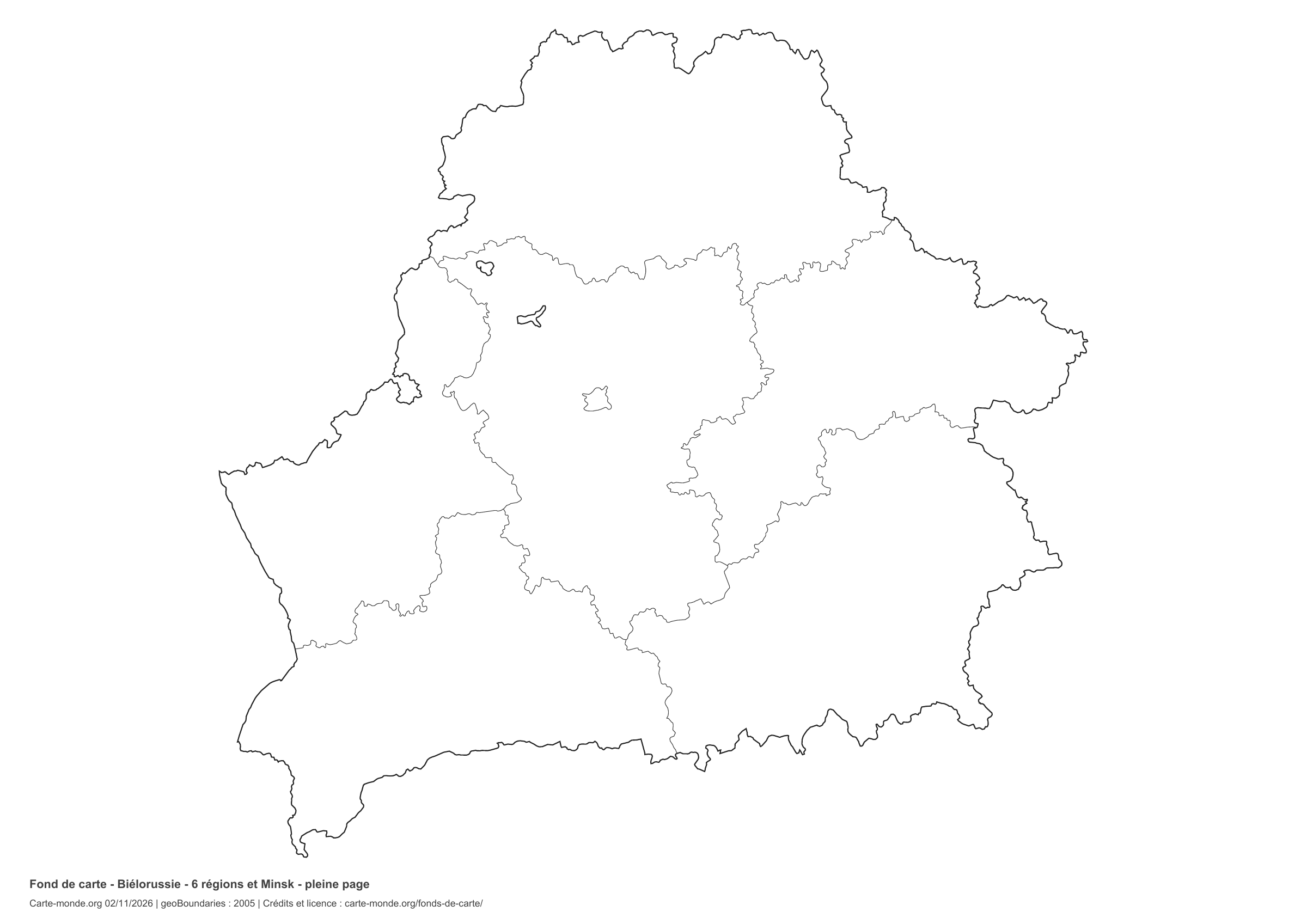
Belarus: full-page boundaries, base map without names

Model 4 · November 2026 edition

Full-page boundaries

Divisions shown: 6 regions and Minsk. Add names and colours. The map covers almost the entire sheet; only two reference lines appear at the bottom.

A4 landscape vector PDF · PNG 2 400 px

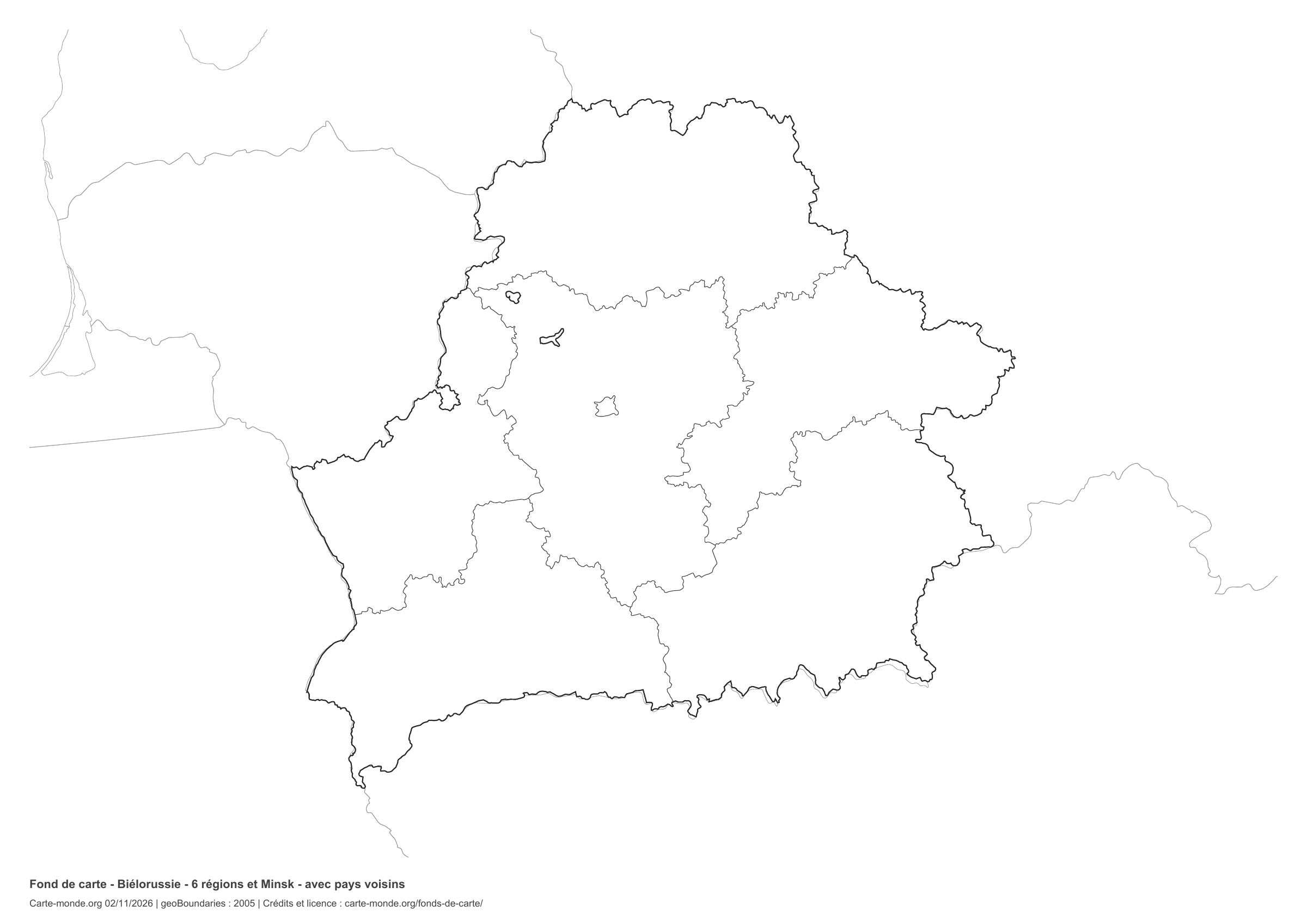
Belarus: outline with neighbouring countries, base map without names

Model 5 · November 2026 edition

Outline with neighbouring countries

National outline without names or internal boundaries, to complete freely. Surrounding countries are shown with light outlines, without names or colour fills.

A4 landscape vector PDF · PNG 2 400 px

Belarus: boundaries with neighbouring countries, base map without names

Model 6 · November 2026 edition

Boundaries with neighbouring countries

Divisions shown: 6 regions and Minsk. Add names and colors. The outlines of surrounding countries appear as light lines, without names or color fills.

A4 landscape vector PDF · PNG 2 400 px

The six-base-map pack

The six templates in PDF, PNG and editable SVG, with credits and reuse terms.

Download the six base maps — ZIP

Which base map should I choose?

The outline is suitable for freehand sketches: add a capital, cities or rivers. The version with boundaries lets you color or name the units shown in the divisions. Full-page versions enlarge the country and save ink. The last two maps add neighboring countries for location exercises.

Geographical names are deliberately omitted. Any inset titles indicate only their coverage and individual scales.

Maps of Belarus: labelled maps and original collection.

Download and print

  1. Open the PDF for a sharp printout; choose the PNG for a document or presentation.
  2. Print on an A4 sheet using the file’s orientation. Use “Fit to page” if your printer requires it.
  3. Any insets use different scales from the main map. Retain the source notes at the bottom of the sheet.

To edit the outlines, open the pack’s SVG in a vector editor. These generalised maps are intended for exercises and presentations.

Sources and reuse

Geometries: geoBoundaries gbOpen, 2005. Primary source: geoBoundaries, CIESIN. License stated in metadata: Creative Commons Attribution 3.0 License. View the source metadata.

Neighbouring country outlines: Natural Earth 5.1.1, public domain. Layout by Carte-monde.org, 2 November 2026 edition, under CC BY 4.0. The data retain their attributions and licences; consult the ZIP notes before reuse.

Example credit: Carte-monde.org, edition of 2 November 2026 — geoBoundaries / geoBoundaries, CIESIN.

Continue exploring

Maps of Belarus · Maps of European countries · Other maps and archives

Original French files

Printable base maps of Bosnia & Herzegovina

BOSNIA & HERZEGOVINA · MAPS TO COMPLETE

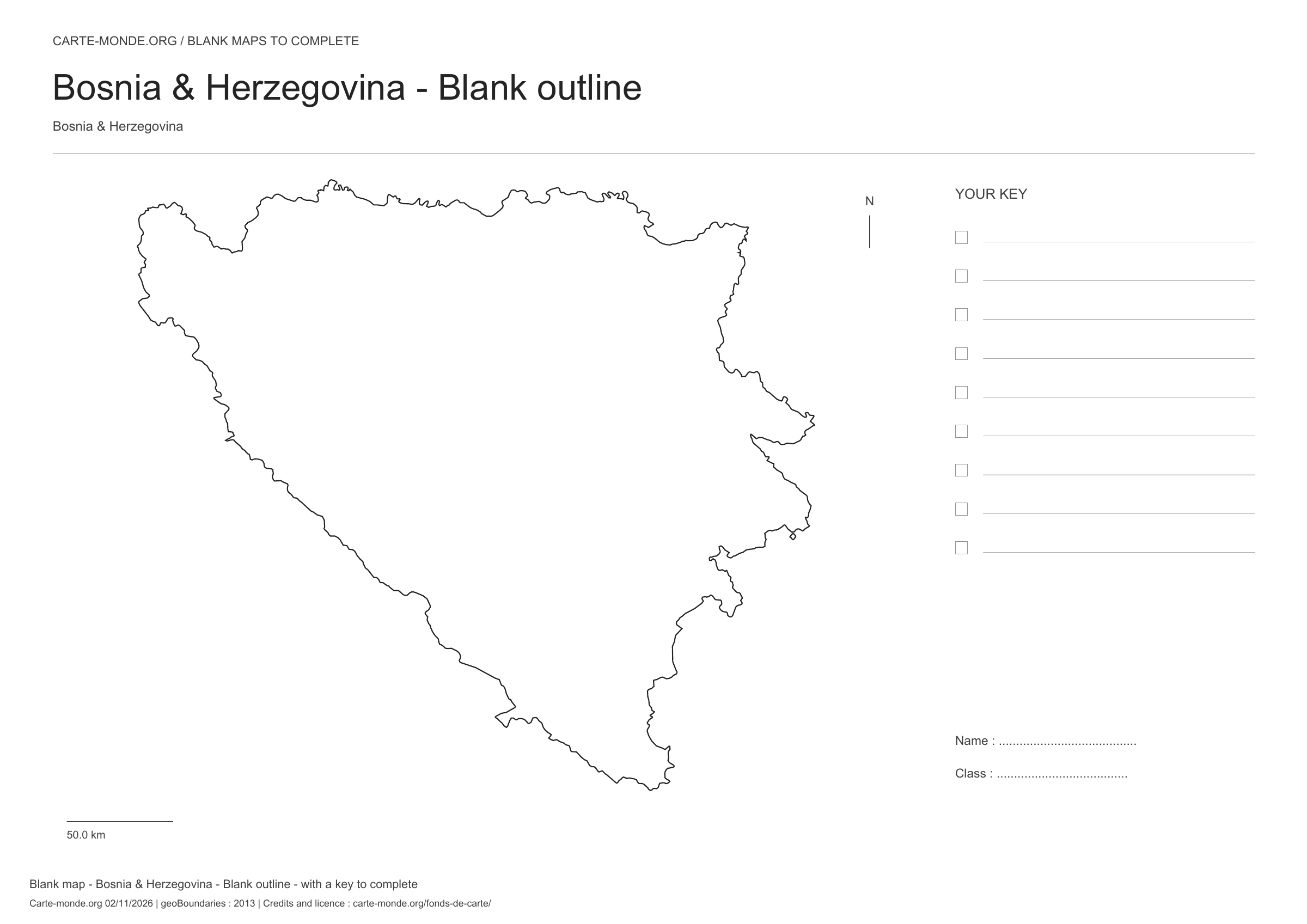
Download a blank map of Bosnia & Herzegovina to add names, prepare a sketch map or colour territories. Six black-and-white versions are available: outlines and boundaries, with space for a key, full-page or with neighbouring countries. Each map is available as an A4 PDF and PNG.

Our six blank maps have English labels.

Six base maps of Bosnia & Herzegovina to complete

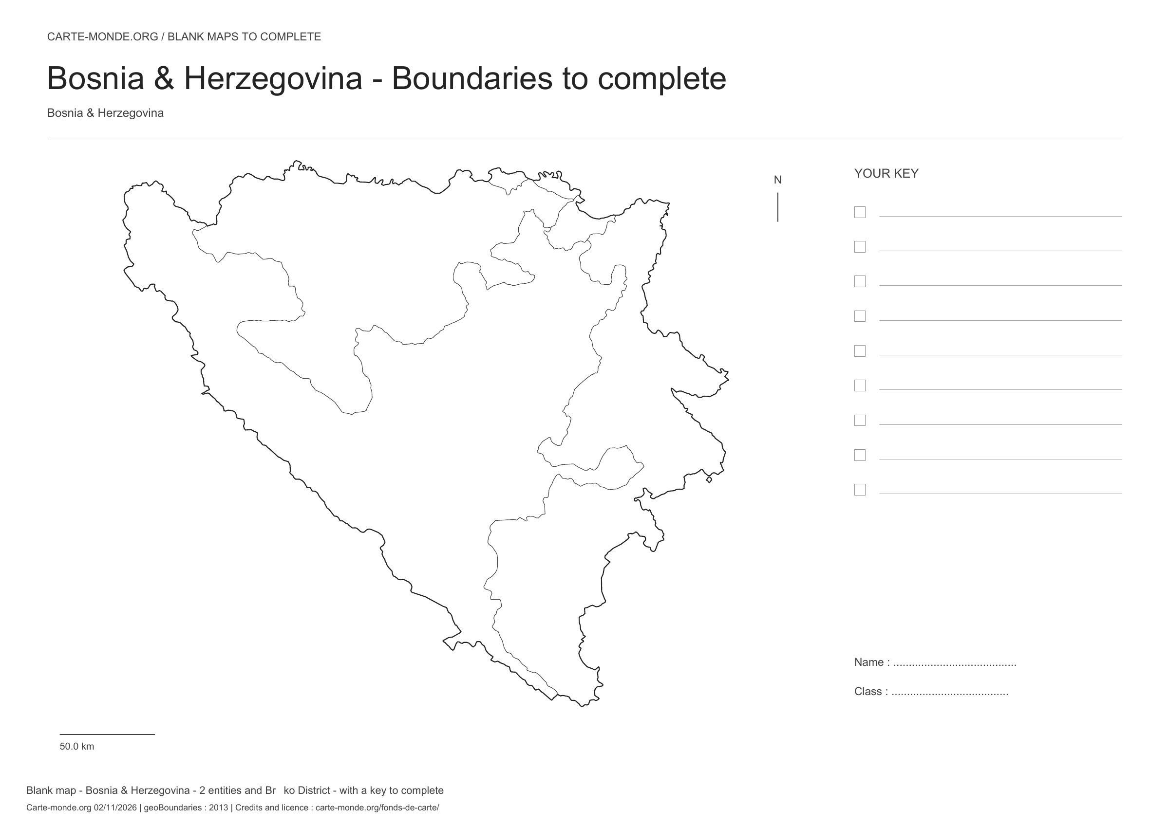
Coverage: Bosnia & Herzegovina. Divisions: 2 entities and Brčko District.

Geographic reference year: 2013. The files’ edition date does not mean that all boundaries have been updated.

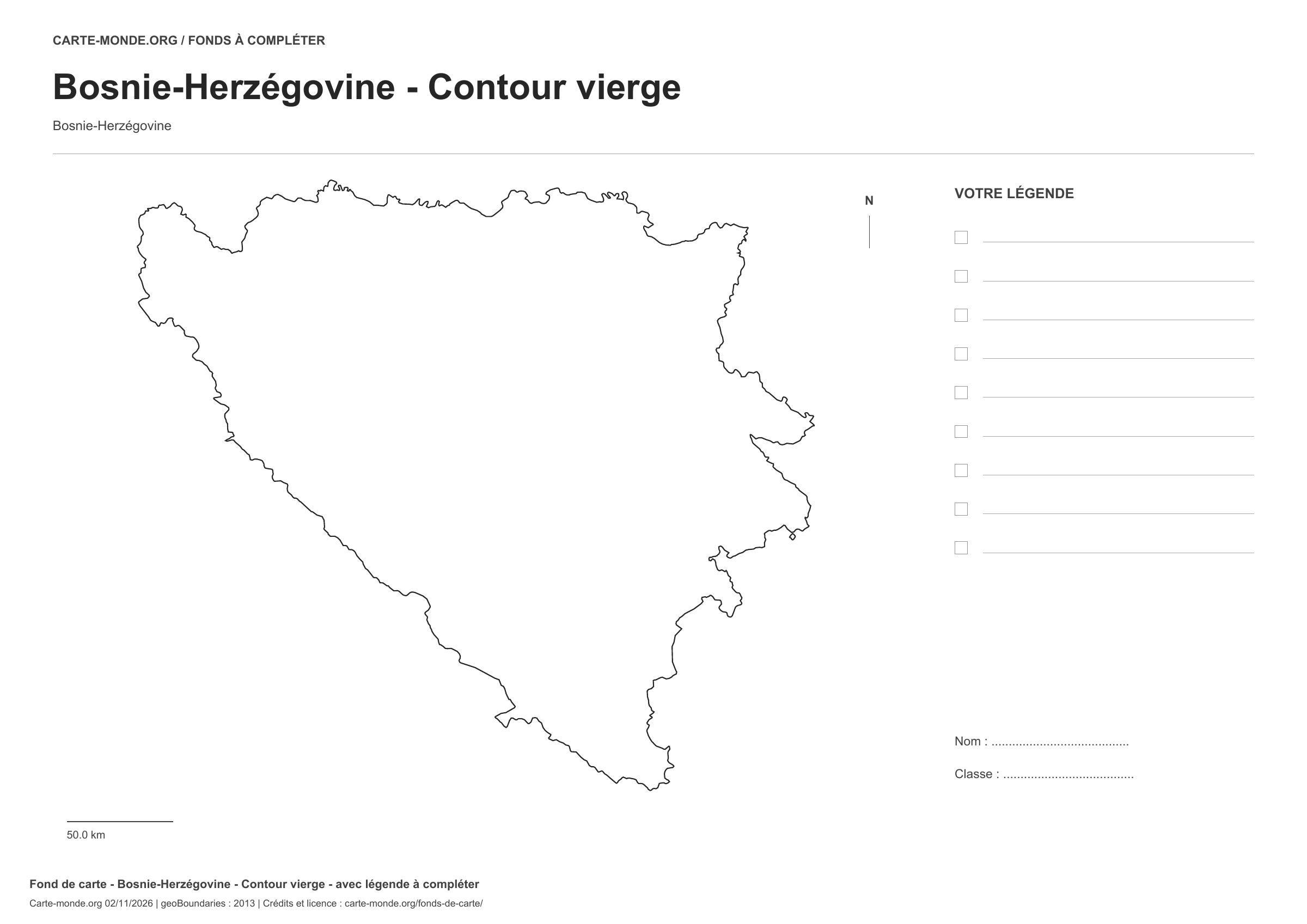
Bosnia & Herzegovina: outline with space for a legend, base map without names

Model 1 · November 2026 edition

Outline with space for a legend

National outline without names or internal boundaries, to complete freely. Space for your key, name and class.

A4 landscape vector PDF · PNG 2 400 px

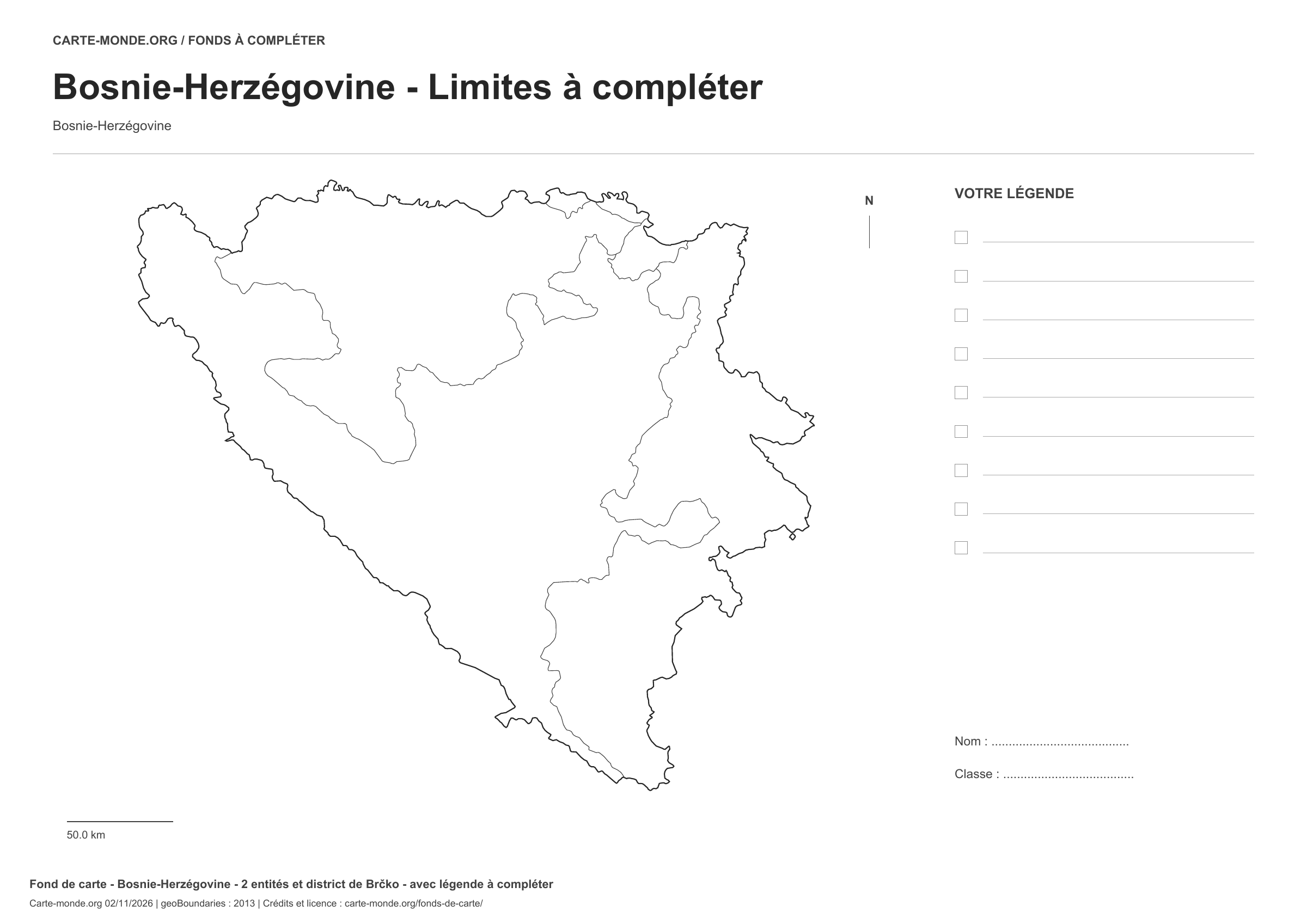
Bosnia & Herzegovina: boundaries with space for a legend, base map without names

Model 2 · November 2026 edition

Boundaries with space for a legend

Divisions shown: 2 entities and Brčko District. Add names and colours. Space for your key, name and class.

A4 landscape vector PDF · PNG 2 400 px

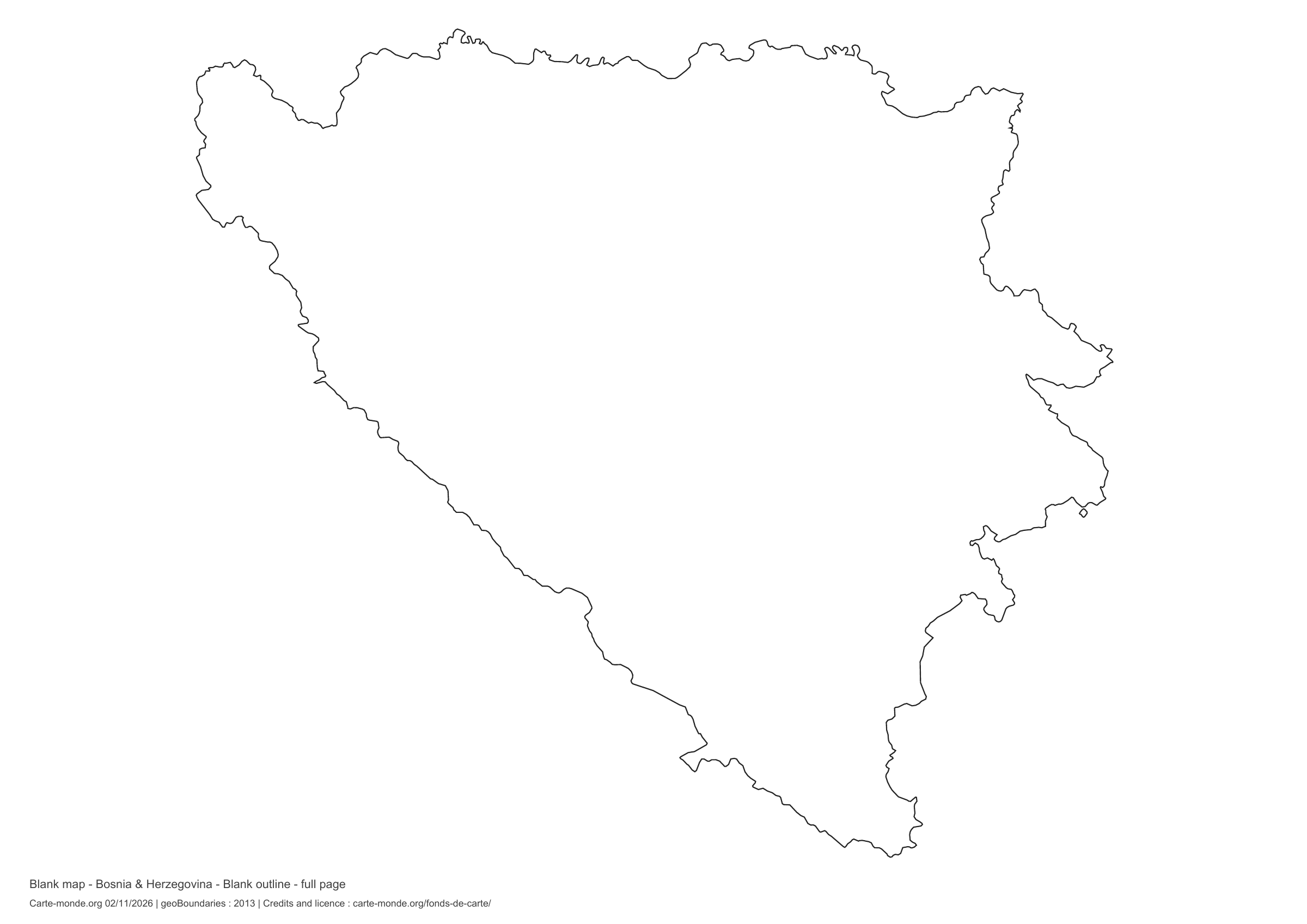
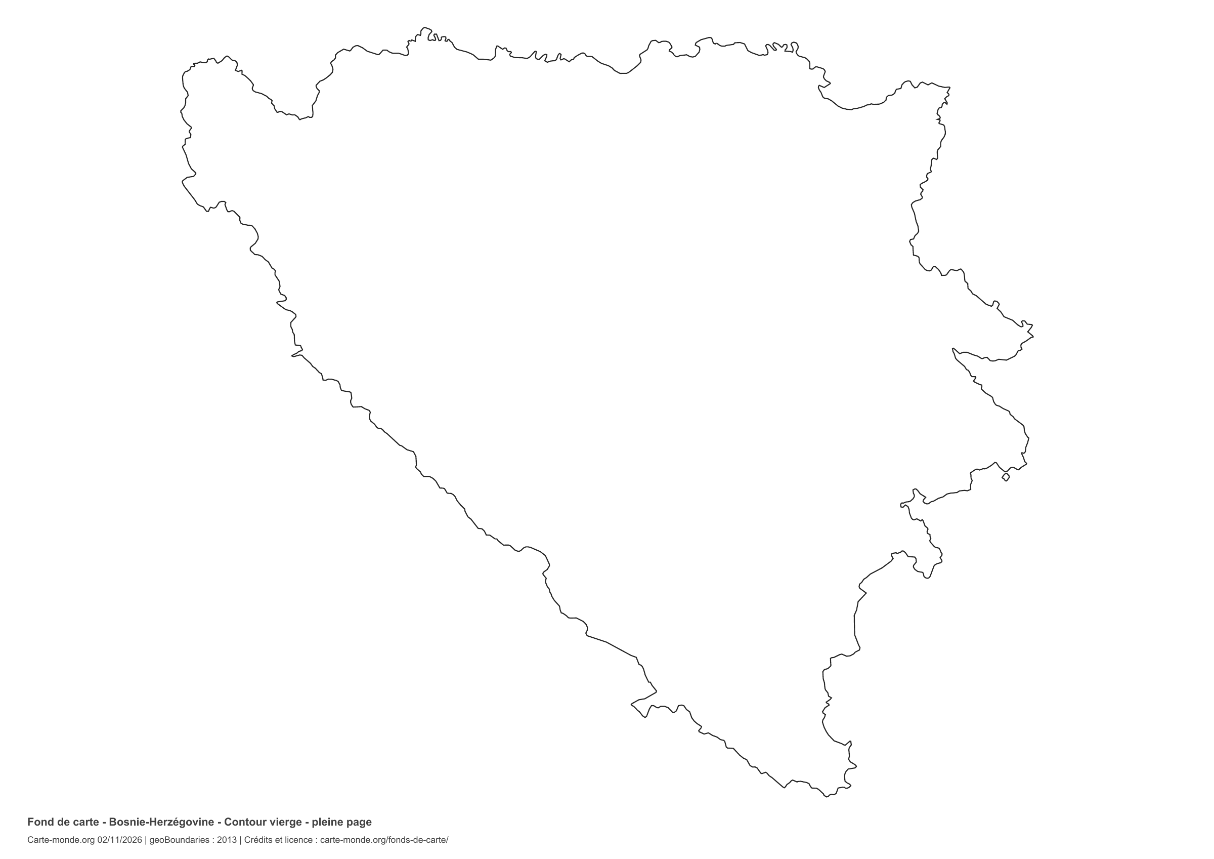
Bosnia & Herzegovina: full-page outline, base map without names

Model 3 · November 2026 edition

Full-page outline

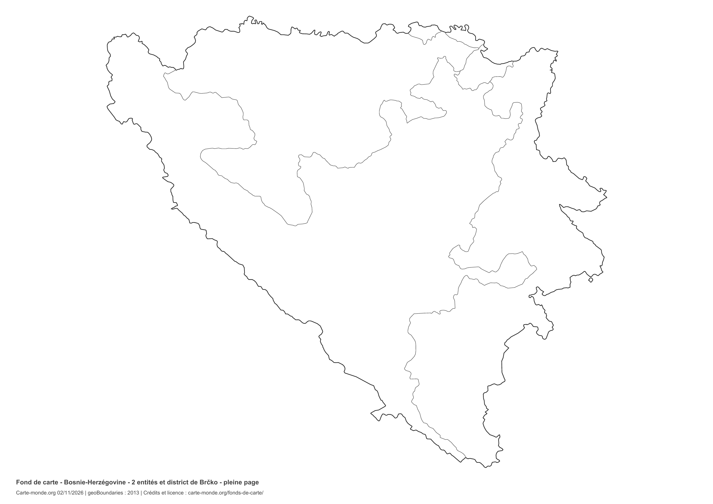
National outline without names or internal boundaries, to complete freely. The map fills almost the entire sheet; only two reference lines appear at the bottom.

A4 landscape vector PDF · PNG 2 400 px

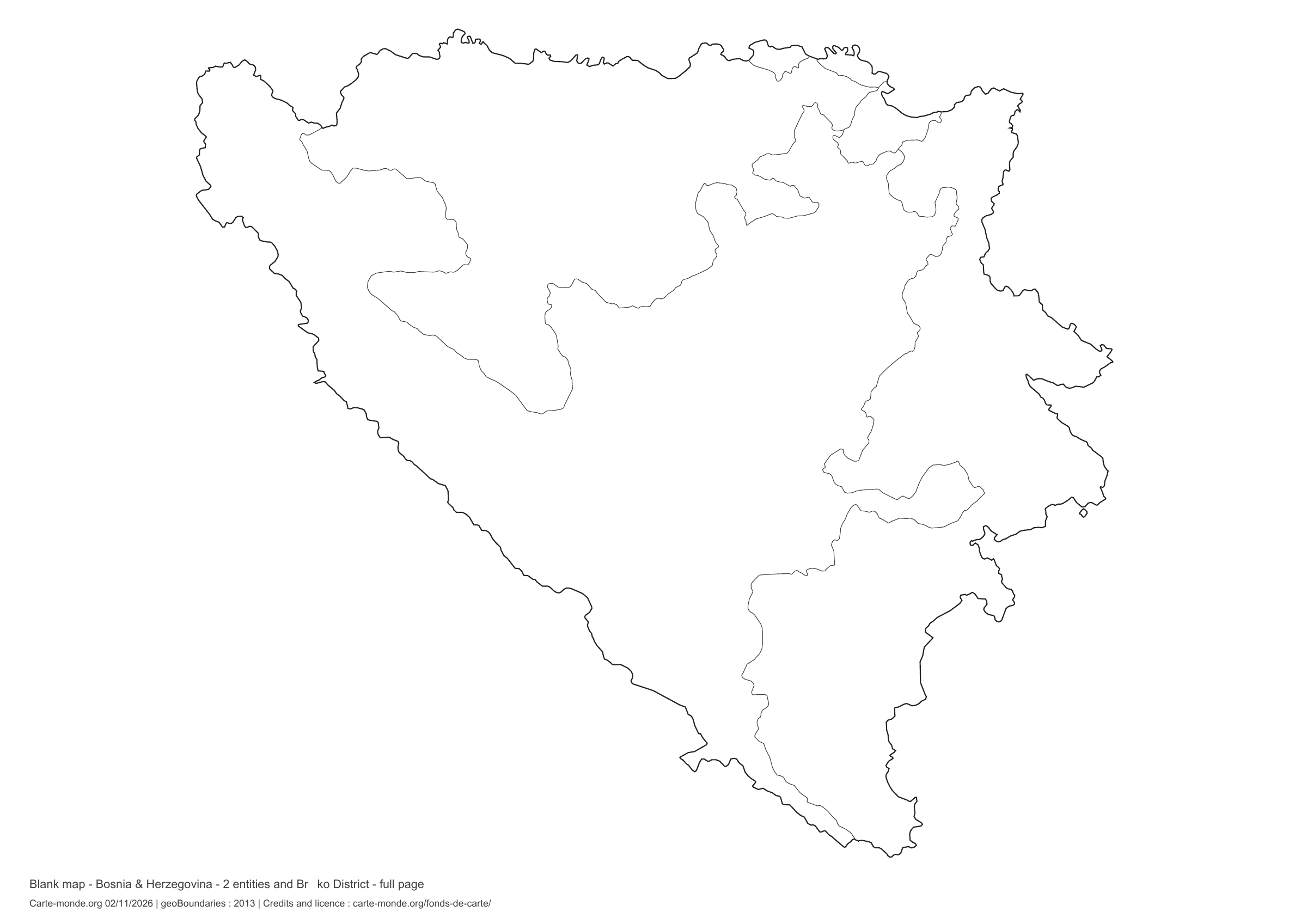
Bosnia & Herzegovina: full-page boundaries, base map without names

Model 4 · November 2026 edition

Full-page boundaries

Divisions shown: 2 entities and Brčko District. Add names and colors. The map fills almost the entire sheet; only two reference lines appear at the bottom.

A4 landscape vector PDF · PNG 2 400 px

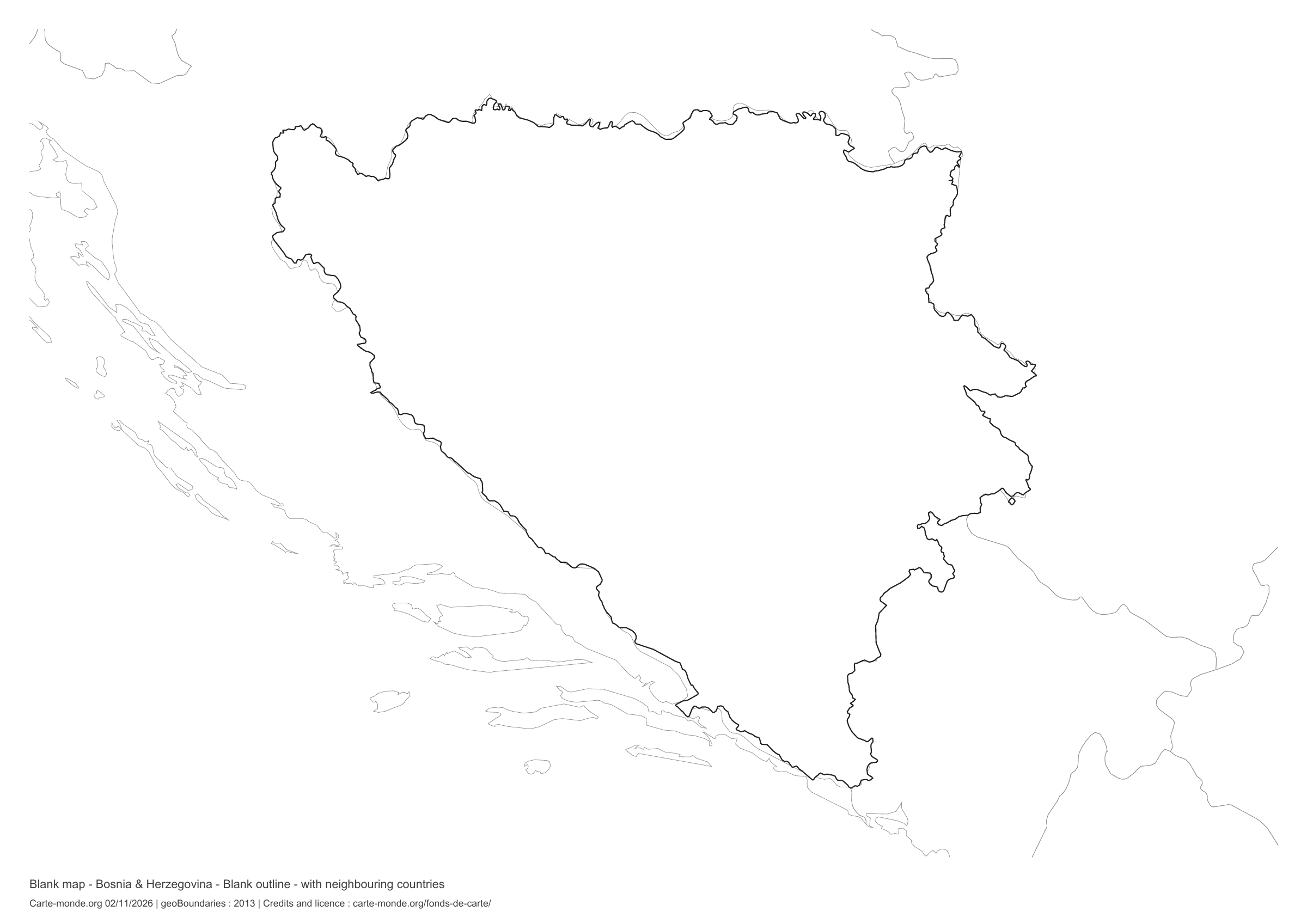
Bosnia & Herzegovina: outline with neighbouring countries, base map without names

Model 5 · November 2026 edition

Outline with neighbouring countries

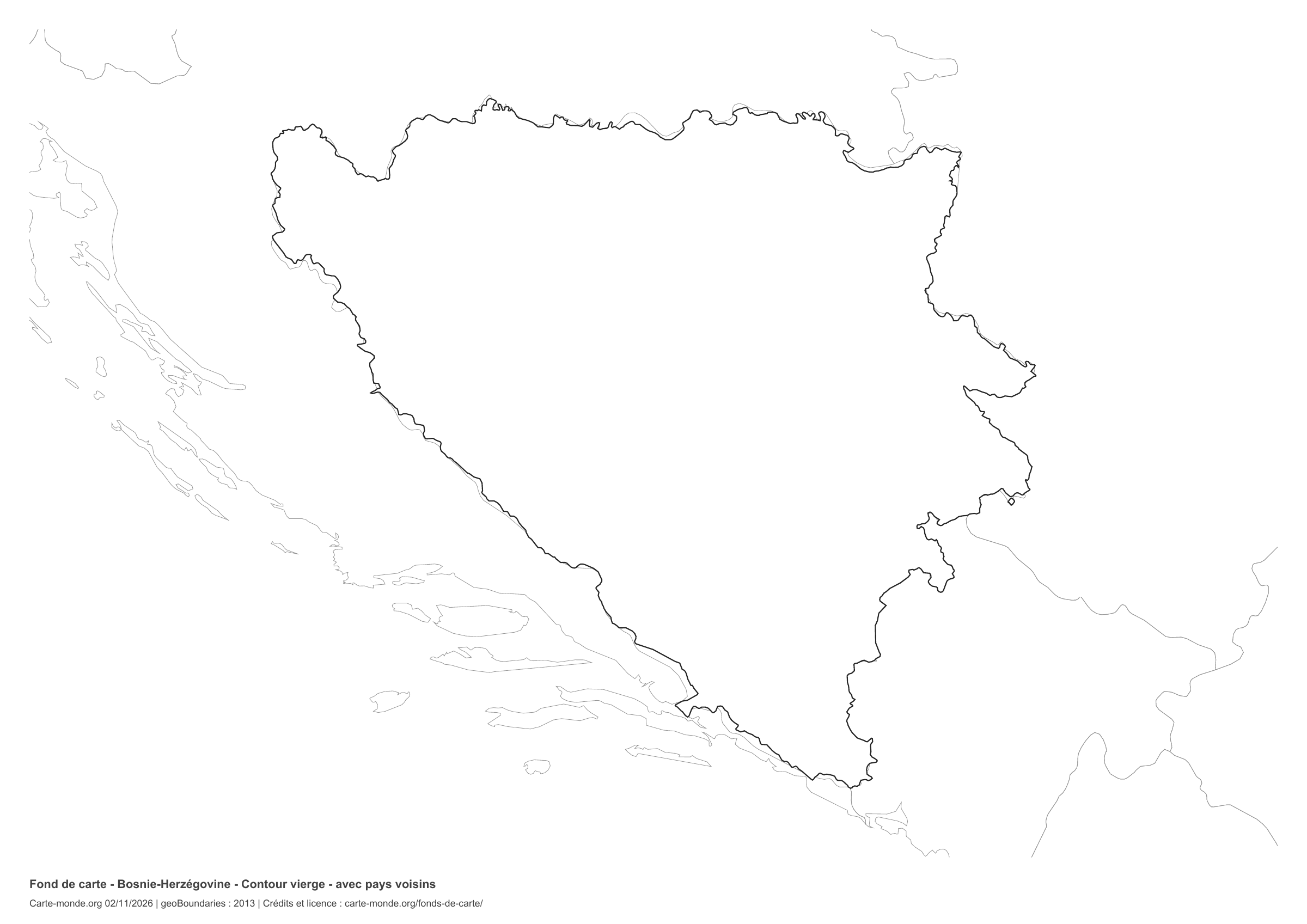
National outline without names or internal boundaries, to complete freely. Surrounding countries are shown with light outlines, without names or colour fills.

A4 landscape vector PDF · PNG 2 400 px

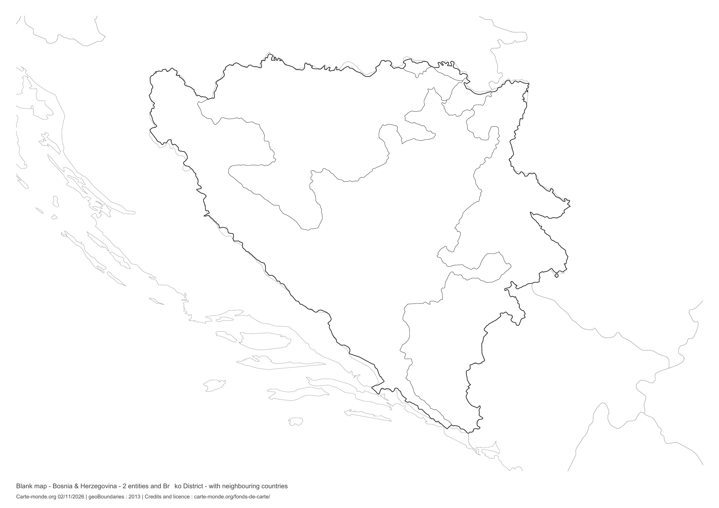
Bosnia & Herzegovina: boundaries with neighbouring countries, base map without names

Model 6 · November 2026 edition

Boundaries with neighbouring countries

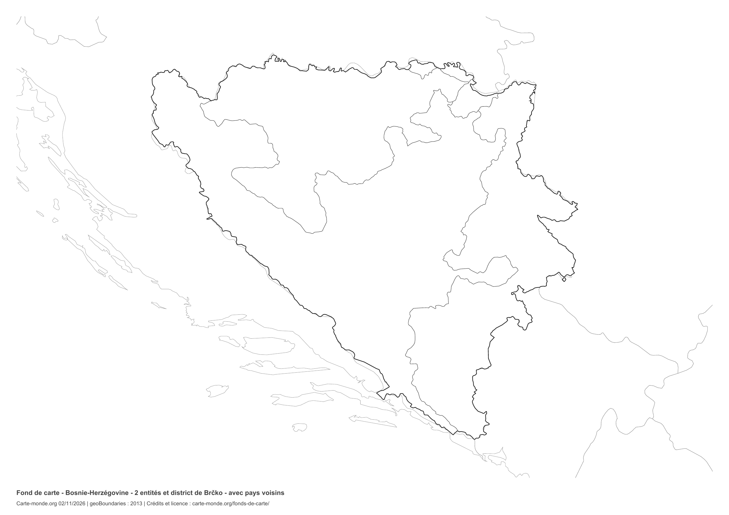
Divisions shown: 2 entities and Brčko District. Add names and colours. The outlines of surrounding countries appear as fine lines, without names or filled areas.

A4 landscape vector PDF · PNG 2 400 px

The six-base-map pack

The six templates in PDF, PNG and editable SVG, with credits and reuse terms.

Download the six base maps — ZIP

Which base map should I choose?

The outline is suitable for freehand sketches: add a capital, cities or rivers. The version with boundaries lets you color or name the units shown in the divisions. Full-page versions enlarge the country and save ink. The last two maps add neighboring countries for location exercises.

Geographical names are deliberately omitted. Any inset titles indicate only their coverage and individual scales.

Maps of Bosnia & Herzegovina: labelled maps and original collection.

Download and print

  1. Open the PDF for a sharp printout; choose the PNG for a document or presentation.
  2. Print on an A4 sheet using the file’s orientation. Use “Fit to page” if your printer requires it.
  3. Any insets use different scales from the main map. Retain the source notes at the bottom of the sheet.

To edit the outlines, open the pack’s SVG in a vector editor. These generalised maps are intended for exercises and presentations.

Sources and reuse

Geometries: geoBoundaries gbOpen, 2013. Primary source: Wikimedia Commons. Licence stated in the metadata: Public Domain. View the source metadata.

Neighbouring country outlines: Natural Earth 5.1.1, public domain. Layout by Carte-monde.org, 2 November 2026 edition, under CC BY 4.0. The data retain their attributions and licences; consult the ZIP notes before reuse.

Example credit: Carte-monde.org, edition of 2 November 2026 — geoBoundaries / Wikimedia Commons.

Continue exploring

Maps of Bosnia & Herzegovina · Maps of European countries · Other maps and archives

Original French files

Printable base maps of Bulgaria

BULGARIA · MAPS TO COMPLETE

Download a blank map of Bulgaria to add names, prepare a sketch map or colour territories. Six black-and-white versions are available: outlines and boundaries, with space for a key, full-page or with neighbouring countries. Each map is available as an A4 PDF and PNG.

Our six blank maps have English labels.

Six base maps of Bulgaria to complete

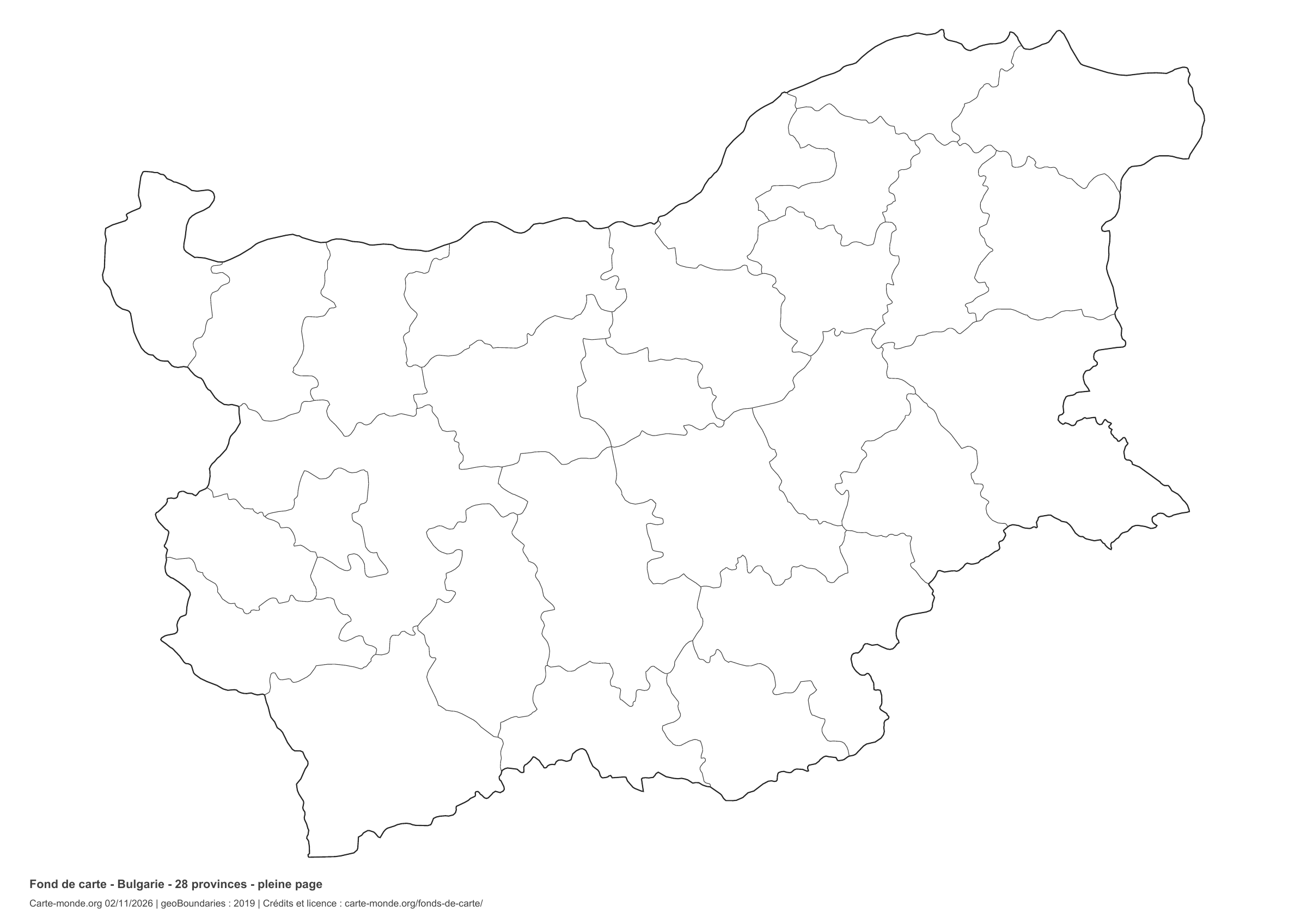
Coverage: Bulgaria. Divisions: 28 provinces.

Geographic reference year: 2019. The files’ edition date does not mean that all boundaries have been updated.

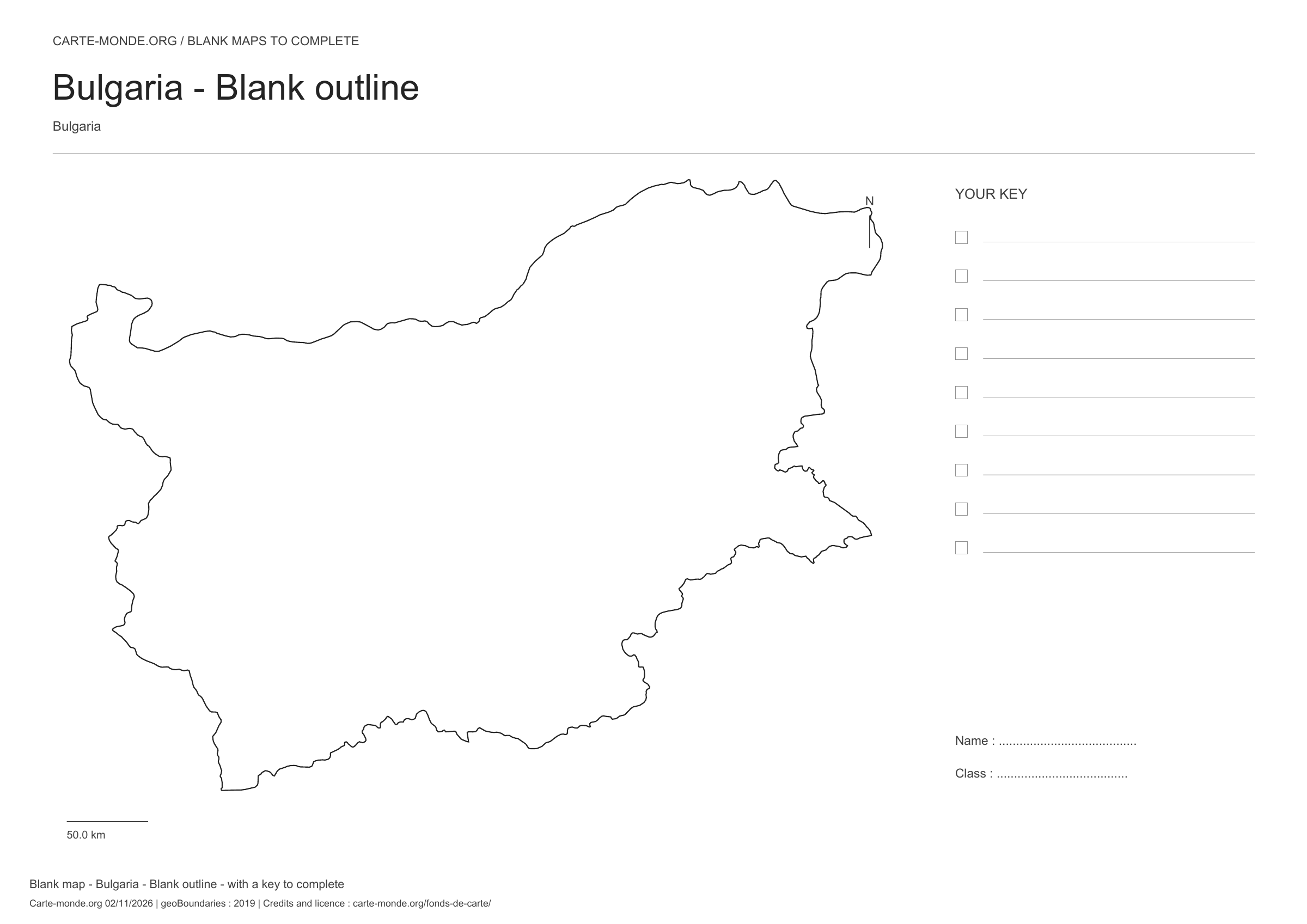
Bulgaria: outline with space for a legend, base map without names

Model 1 · November 2026 edition

Outline with space for a legend

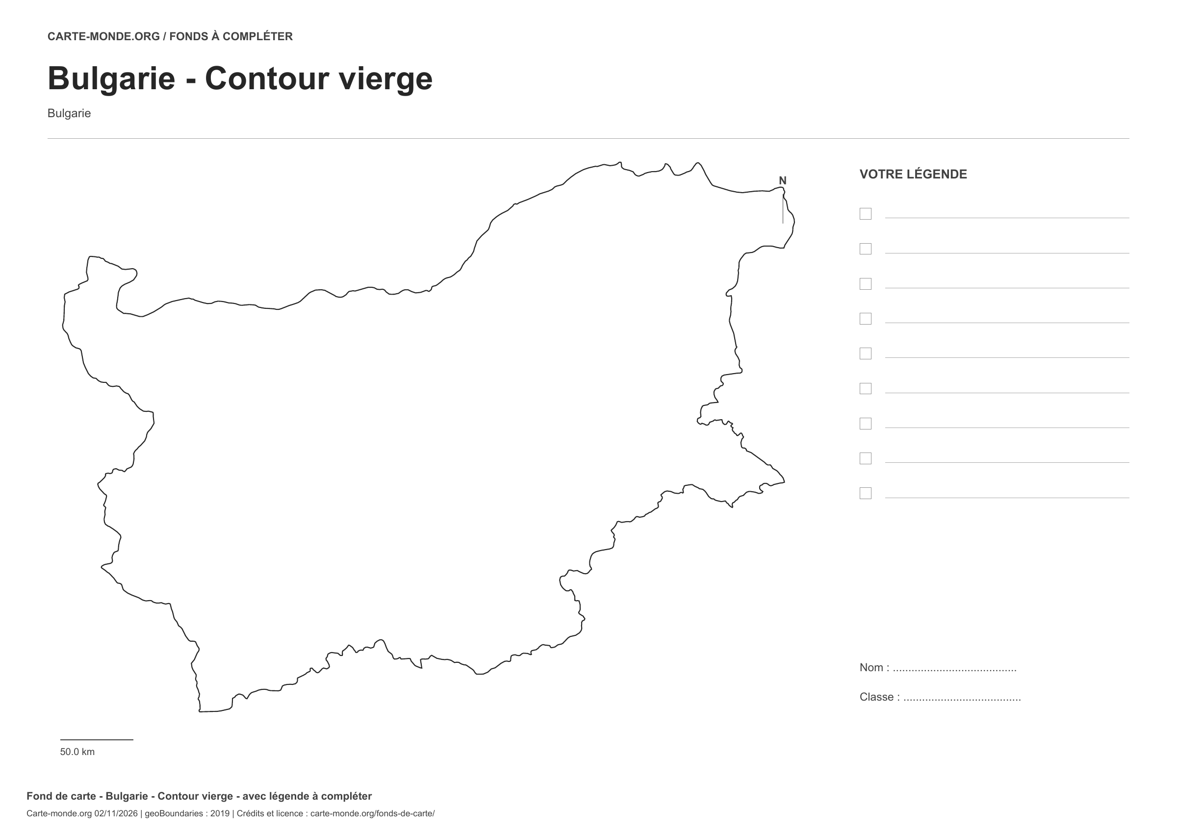
National outline without names or internal boundaries, to complete freely. Space for your key, name and class.

A4 landscape vector PDF · PNG 2 400 px

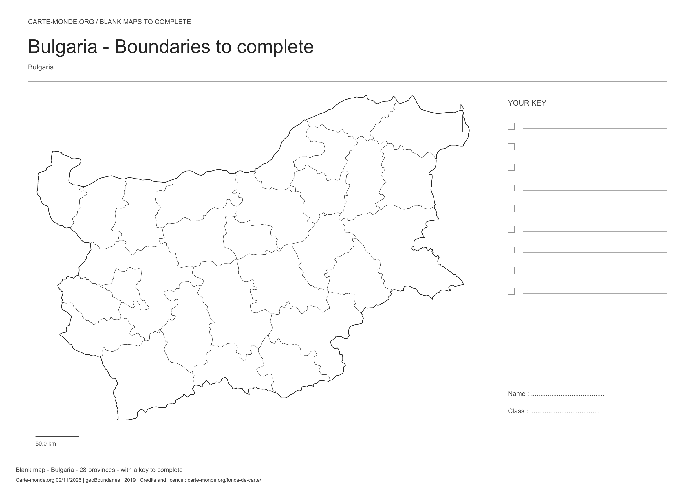
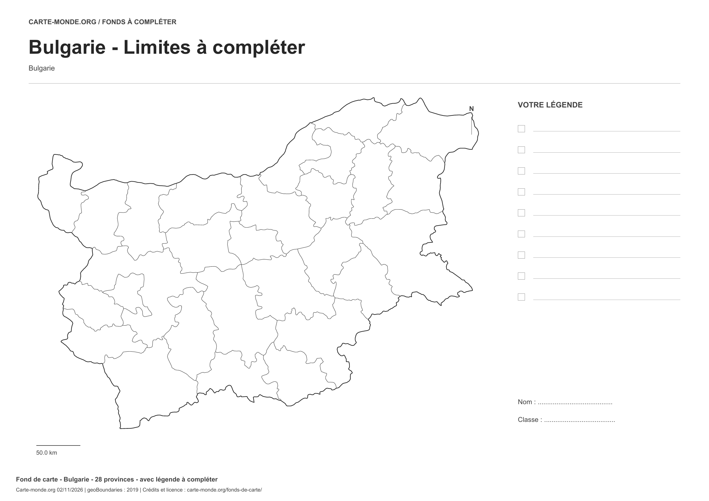
Bulgaria: boundaries with space for a legend, base map without names

Model 2 · November 2026 edition

Boundaries with space for a legend

Divisions shown: 28 provinces. Add names and colours. Space for your legend, name and class.

A4 landscape vector PDF · PNG 2 400 px

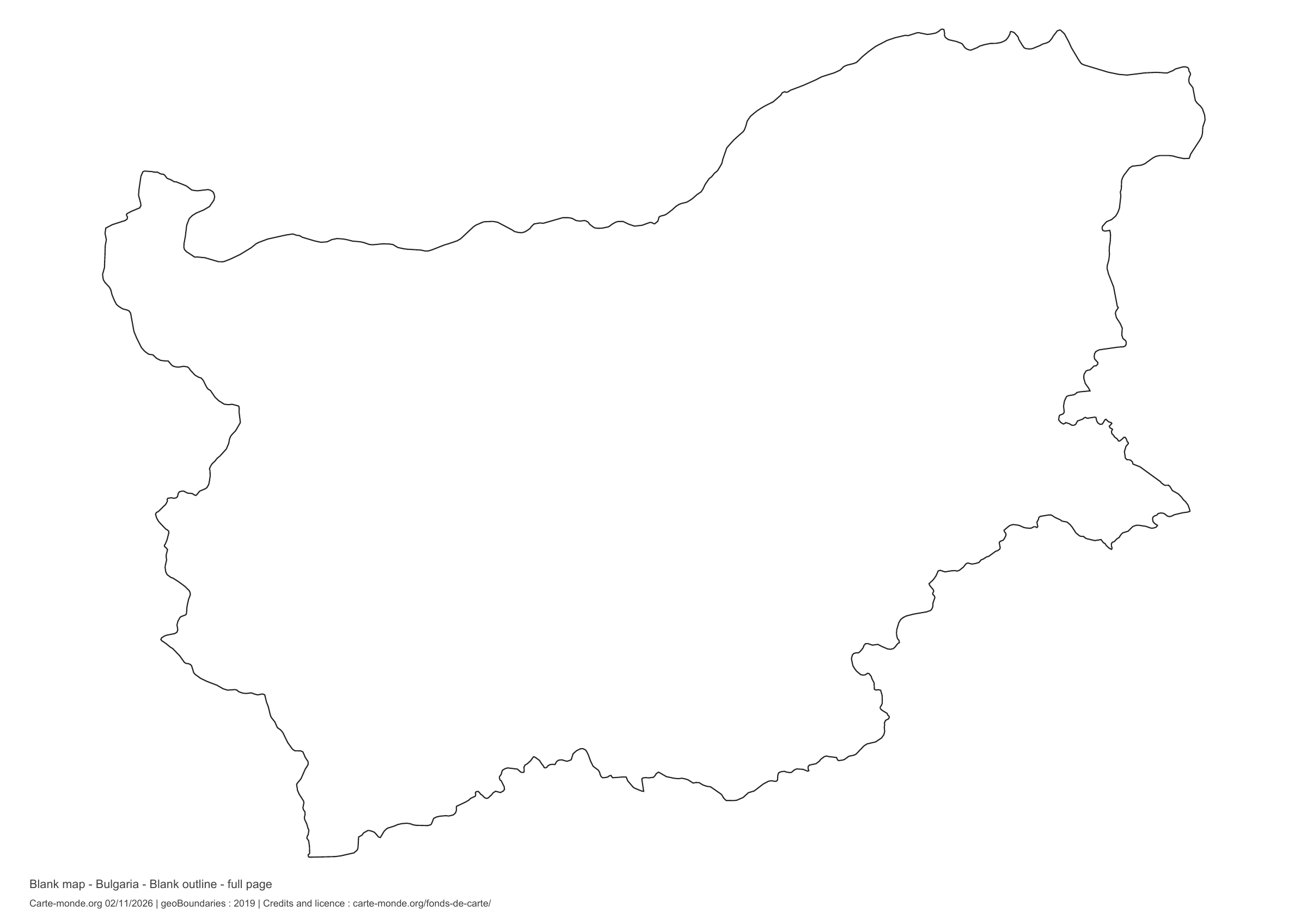
Bulgaria: full-page outline, base map without names

Model 3 · November 2026 edition

Full-page outline

National outline without names or internal boundaries, to complete freely. The map fills almost the entire sheet; only two reference lines appear at the bottom.

A4 landscape vector PDF · PNG 2 400 px

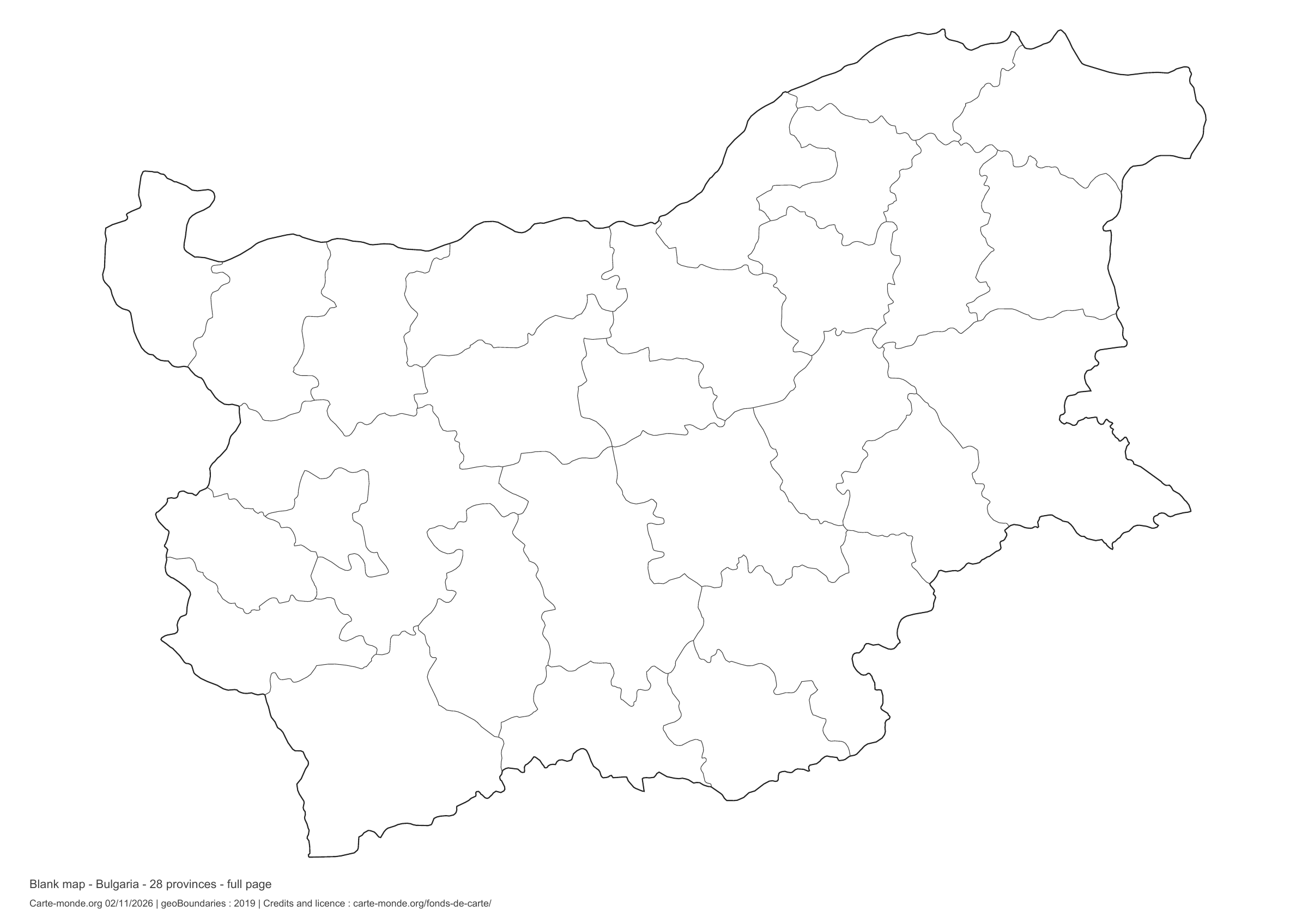
Bulgaria: full-page boundaries, base map without names

Model 4 · November 2026 edition

Full-page boundaries

Divisions shown: 28 provinces. Add names and colors. The map fills almost the entire sheet; only two reference lines appear at the bottom.

A4 landscape vector PDF · PNG 2 400 px

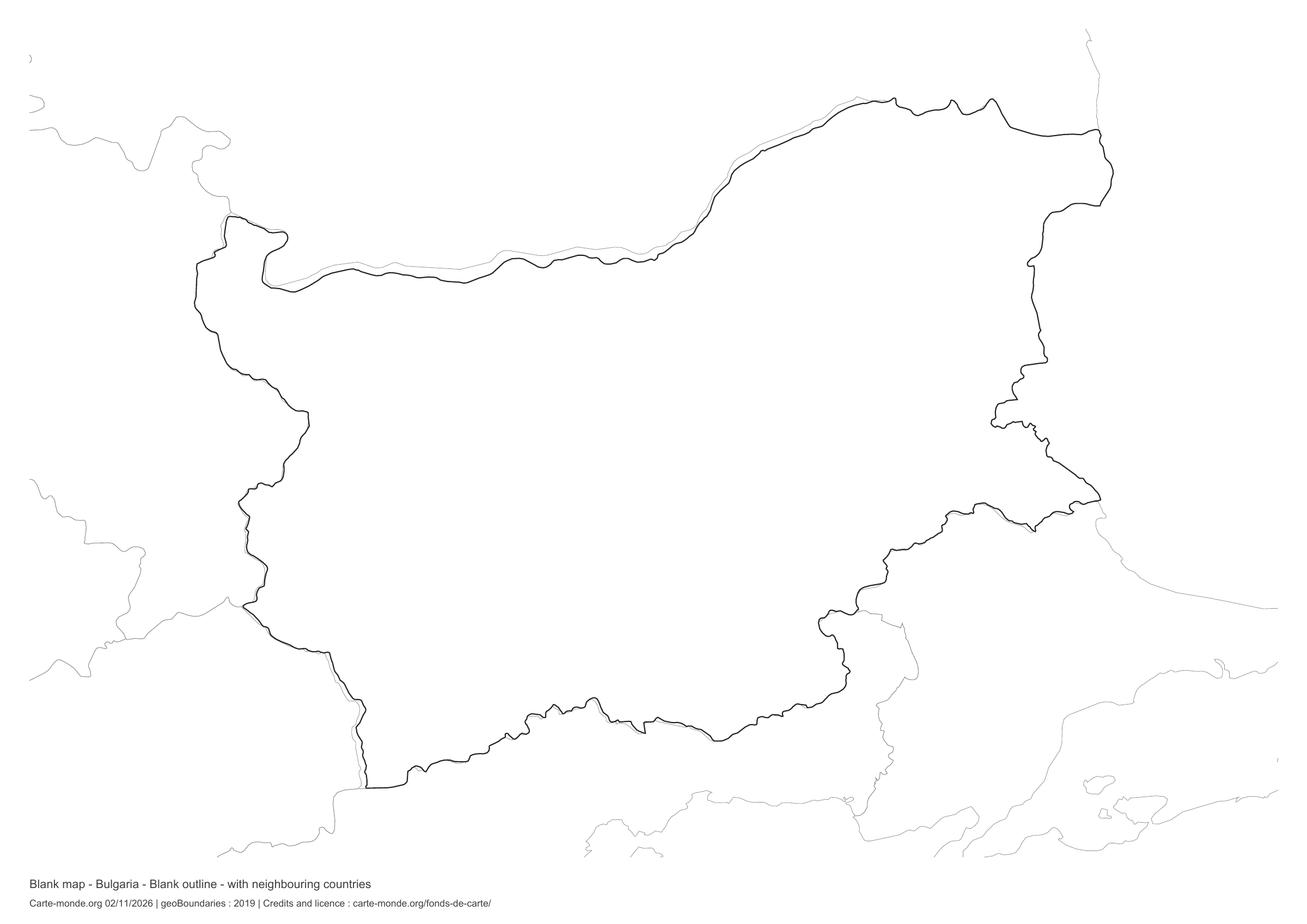
Bulgaria: outline with neighbouring countries, base map without names

Model 5 · November 2026 edition

Outline with neighbouring countries

National outline without names or internal boundaries, to complete freely. Surrounding countries are shown with light outlines, without names or colour fills.

A4 landscape vector PDF · PNG 2 400 px

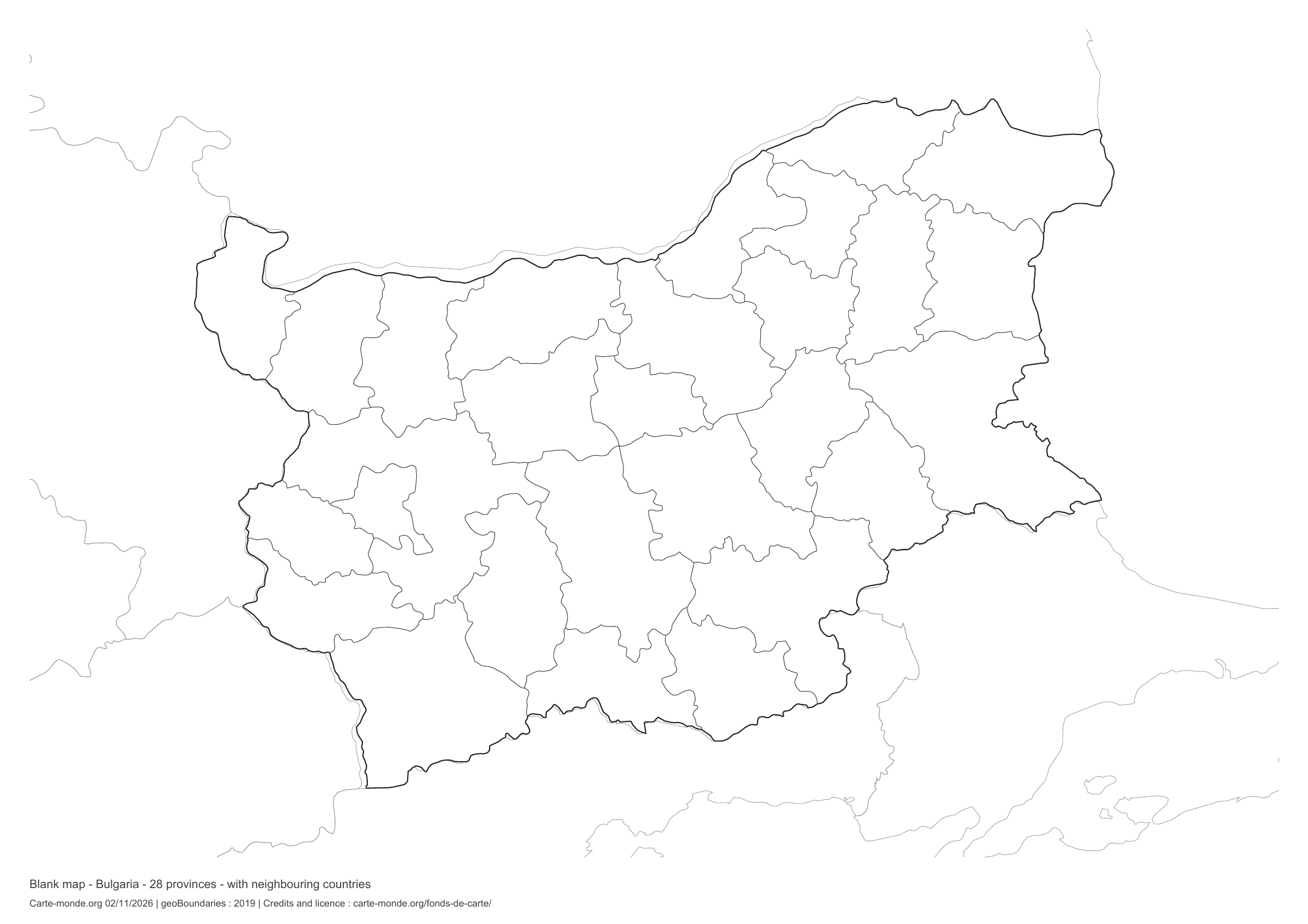
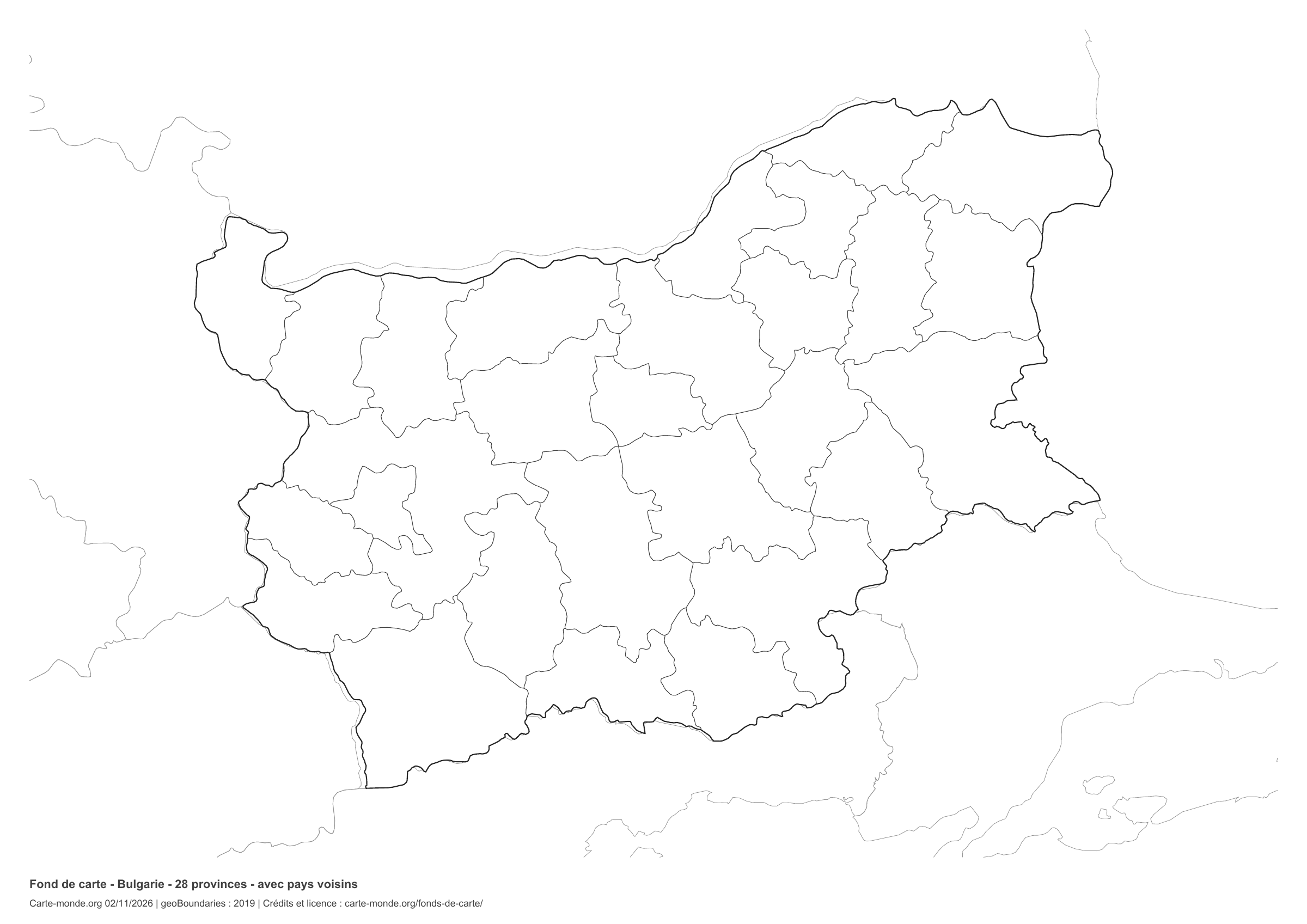
Bulgaria: boundaries with neighbouring countries, base map without names

Model 6 · November 2026 edition

Boundaries with neighbouring countries

Divisions shown: 28 provinces. Add names and colours. Surrounding countries are shown with light outlines, without names or colour fills.

A4 landscape vector PDF · PNG 2 400 px

The six-base-map pack

The six templates in PDF, PNG and editable SVG, with credits and reuse terms.

Download the six base maps — ZIP

Which base map should I choose?

The outline is suitable for freehand sketches: add a capital, cities or rivers. The version with boundaries lets you color or name the units shown in the divisions. Full-page versions enlarge the country and save ink. The last two maps add neighboring countries for location exercises.

Geographical names are deliberately omitted. Any inset titles indicate only their coverage and individual scales.

Maps of Bulgaria: labelled maps and original collection.

Download and print

  1. Open the PDF for a sharp printout; choose the PNG for a document or presentation.
  2. Print on an A4 sheet using the file’s orientation. Use “Fit to page” if your printer requires it.
  3. Any insets use different scales from the main map. Retain the source notes at the bottom of the sheet.

To edit the outlines, open the pack’s SVG in a vector editor. These generalised maps are intended for exercises and presentations.

Sources and reuse

Geometries: geoBoundaries gbOpen, 2019. Primary source: geoBoundaries, Wikimedia. Licence stated in the metadata: Public Domain. View the source metadata.

Neighbouring country outlines: Natural Earth 5.1.1, public domain. Layout by Carte-monde.org, 2 November 2026 edition, under CC BY 4.0. The data retain their attributions and licences; consult the ZIP notes before reuse.

Example credit: Carte-monde.org, edition of 2 November 2026 — geoBoundaries / geoBoundaries, Wikimedia.

Continue exploring

Maps of Bulgaria · Maps of European countries · Other maps and archives

Original French files

Printable base maps of Cyprus

CYPRUS · MAPS TO COMPLETE

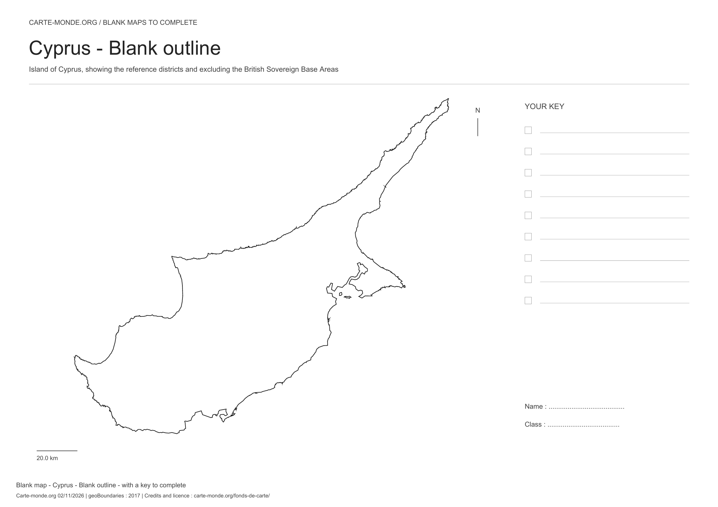
Download a blank map of Cyprus to add names, prepare a sketch map or colour territories. Six black-and-white versions are available: outlines and boundaries, with space for a key, full-page or with neighbouring countries. Each map is available as an A4 PDF and PNG.

Our six blank maps have English labels.

Six base maps of Cyprus to complete

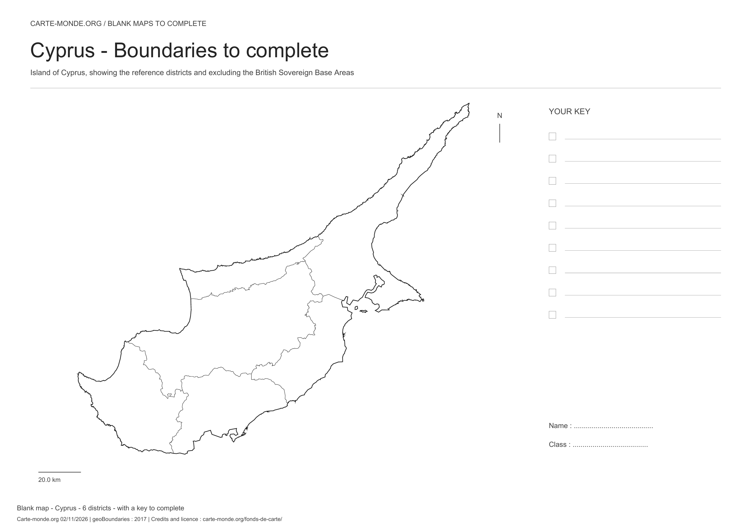
Coverage: Island of Cyprus; reference districts, excluding British Sovereign Base Areas. Divisions: 6 districts.

Geographic reference year: 2017. The files’ edition date does not mean that all boundaries have been updated. Reference district boundaries, without showing the line of control or claims.

Cyprus: outline with space for a legend, base map without names

Model 1 · November 2026 edition

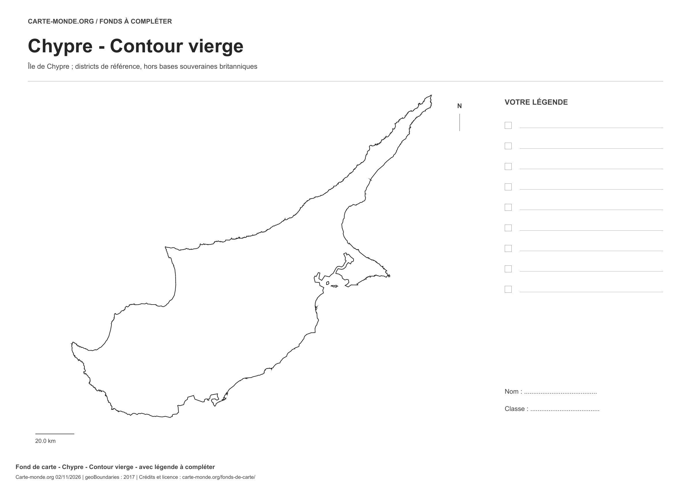
Outline with space for a legend

National outline without names or internal boundaries, to complete freely. Space for your key, name and class.

A4 landscape vector PDF · PNG 2 400 px

Cyprus: boundaries with space for a legend, base map without names

Model 2 · November 2026 edition

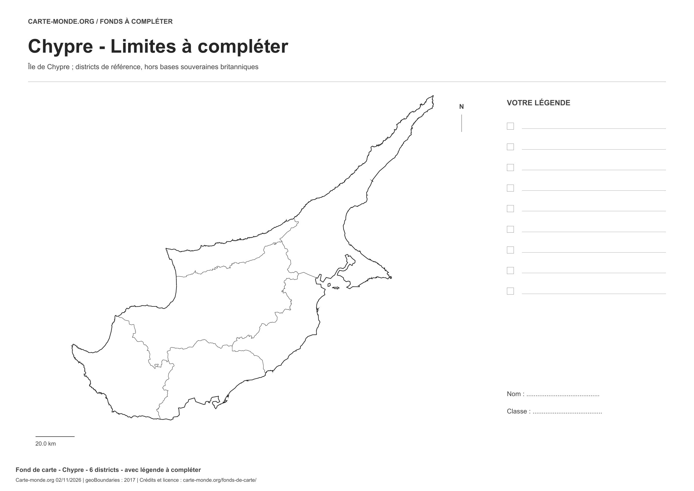
Boundaries with space for a legend

Divisions shown: 6 districts. Add names and colors. Space for your legend, name and class.

A4 landscape vector PDF · PNG 2 400 px

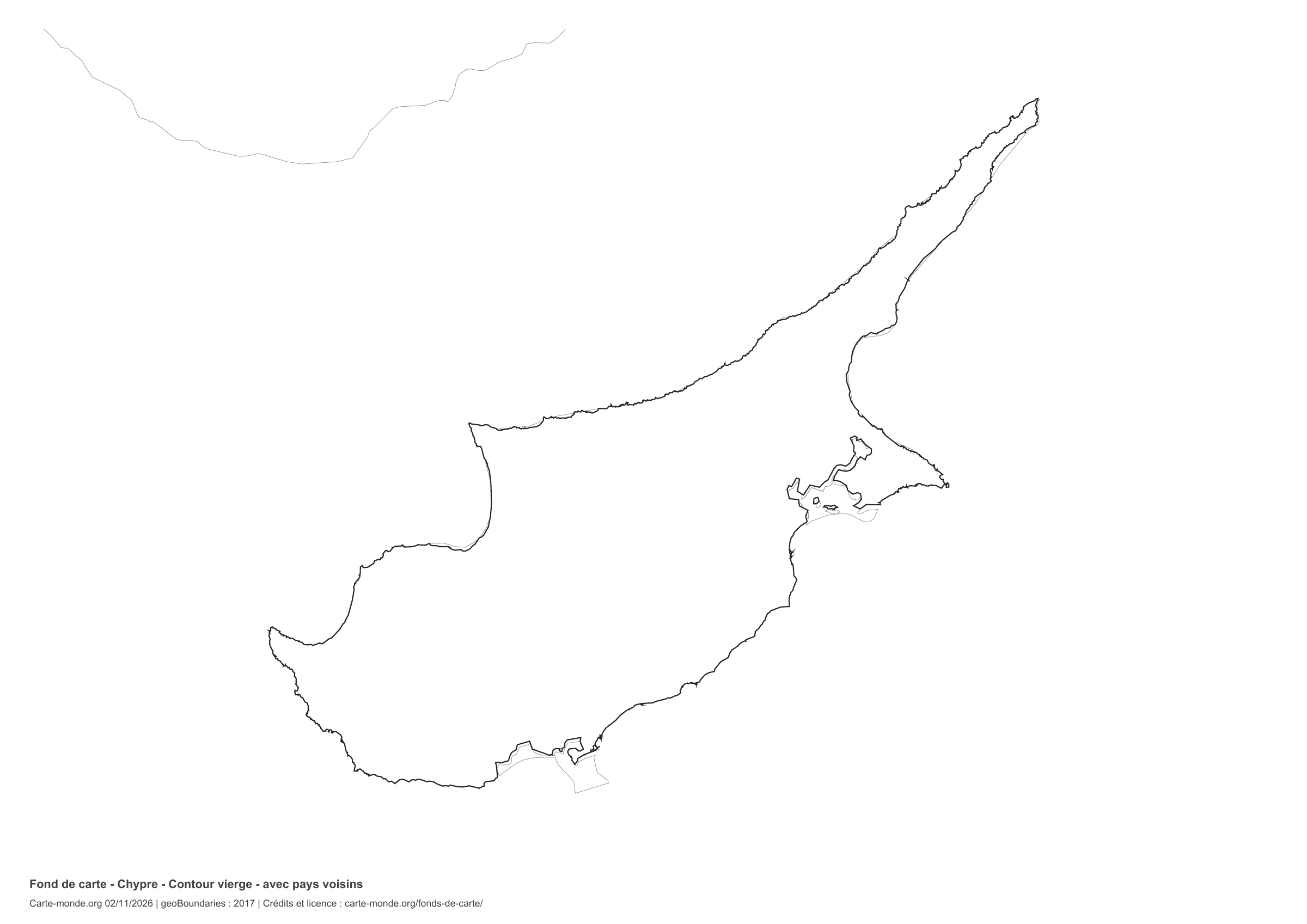
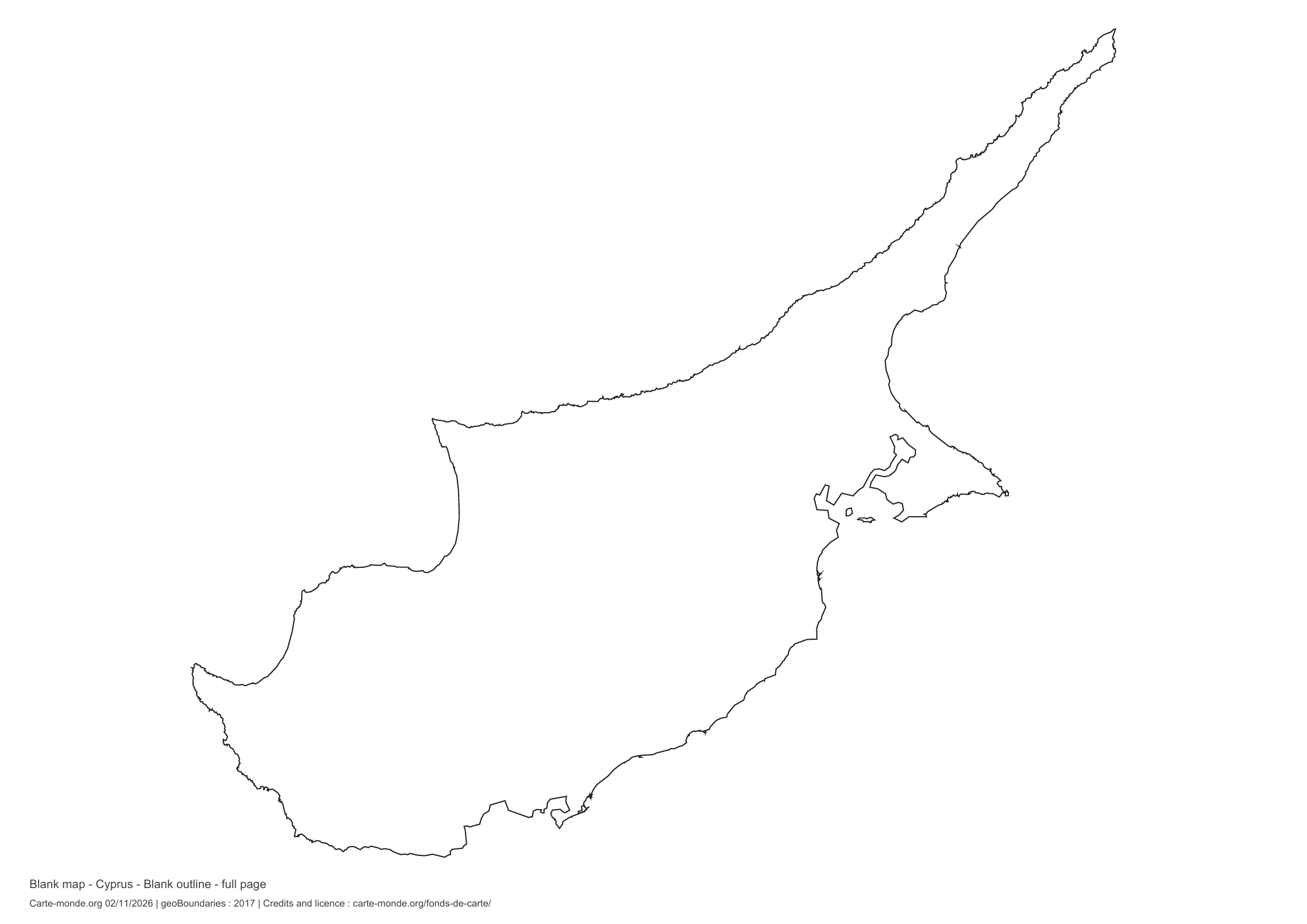
Cyprus: full-page outline, base map without names

Model 3 · November 2026 edition

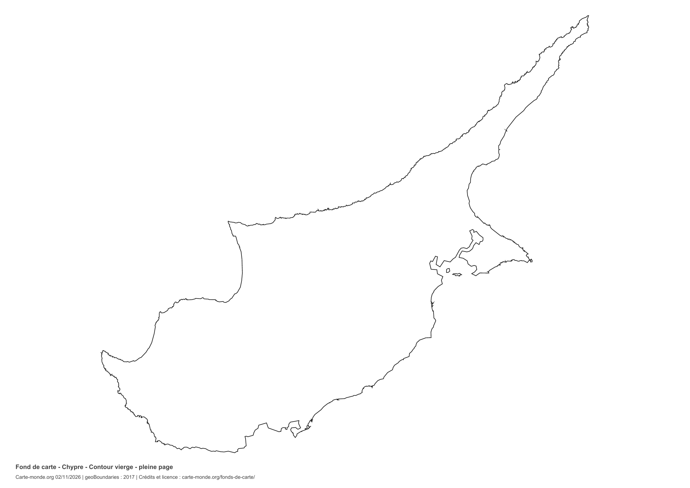
Full-page outline

National outline without names or internal boundaries, to complete freely. The map fills almost the entire sheet; only two reference lines appear at the bottom.

A4 landscape vector PDF · PNG 2 400 px

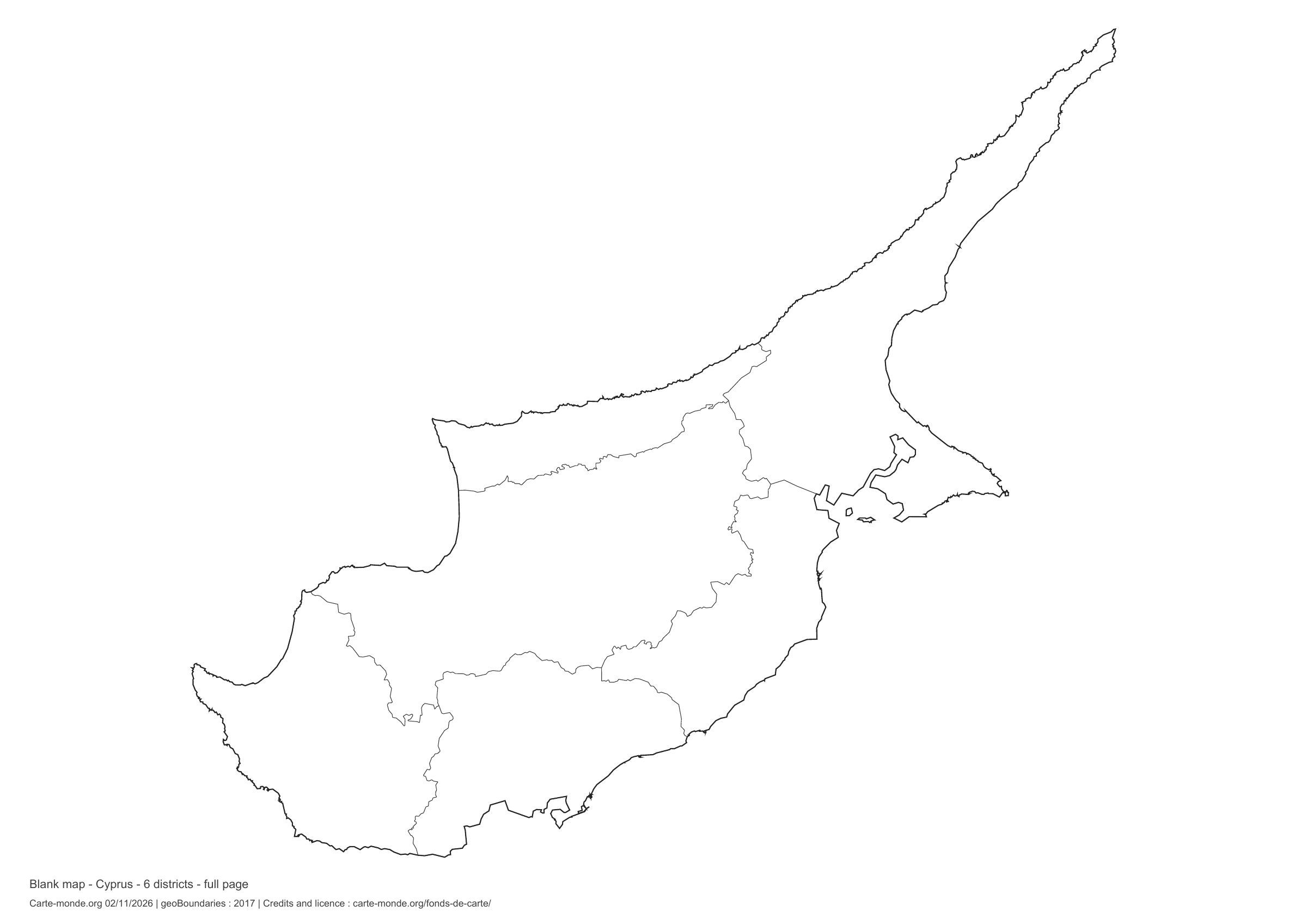
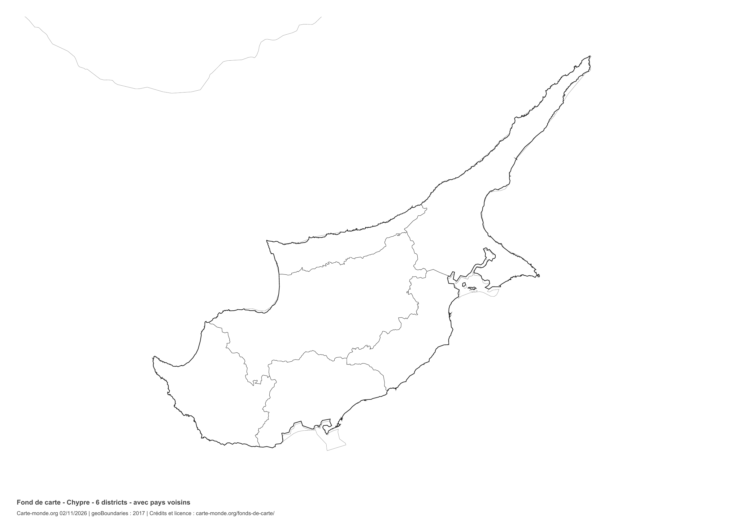
Cyprus: full-page boundaries, base map without names

Model 4 · November 2026 edition

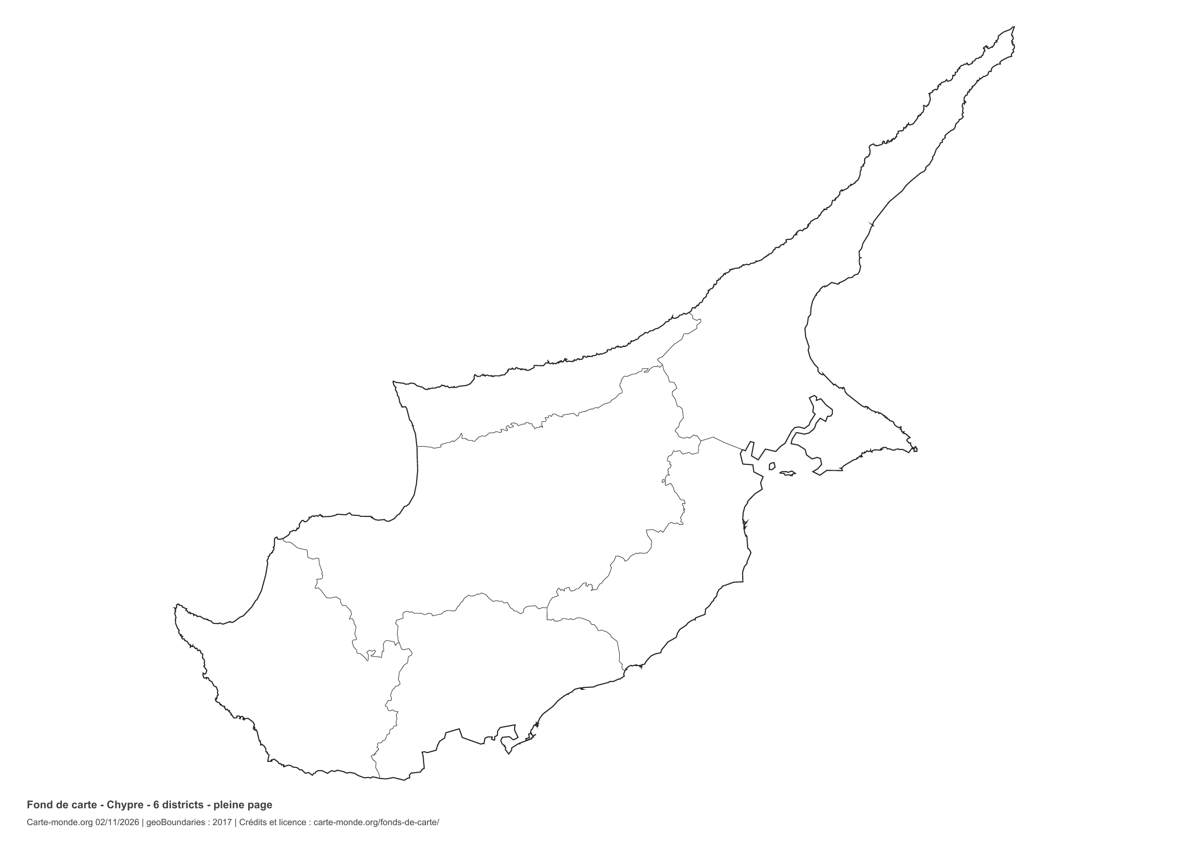
Full-page boundaries

Divisions shown: 6 districts. Add names and colors. The map fills almost the entire sheet; only two reference lines appear at the bottom.

A4 landscape vector PDF · PNG 2 400 px

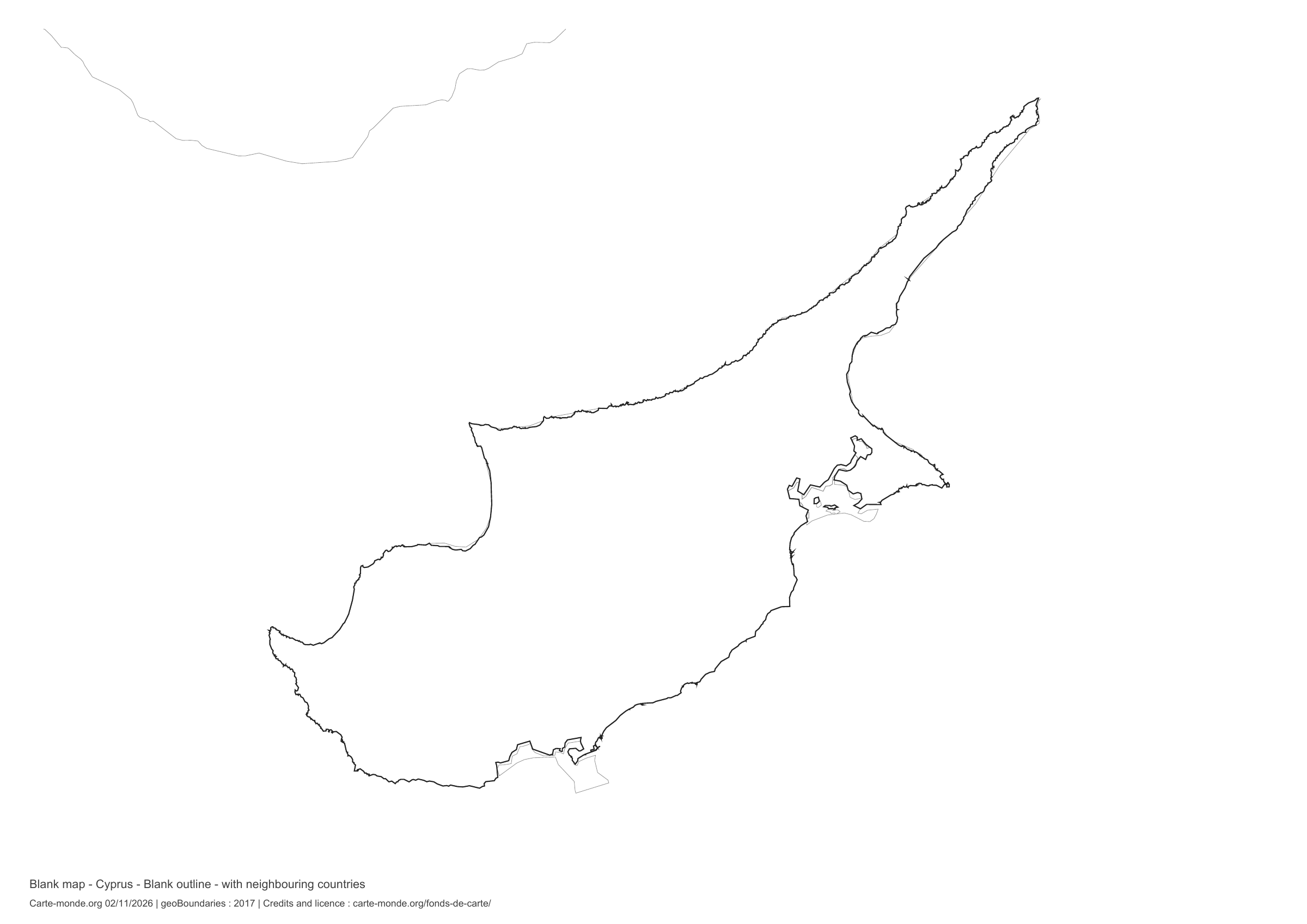
Cyprus: outline with neighbouring countries, base map without names

Model 5 · November 2026 edition

Outline with neighbouring countries

National outline without names or internal boundaries, to complete freely. Surrounding countries are shown with light outlines, without names or colour fills.

A4 landscape vector PDF · PNG 2 400 px

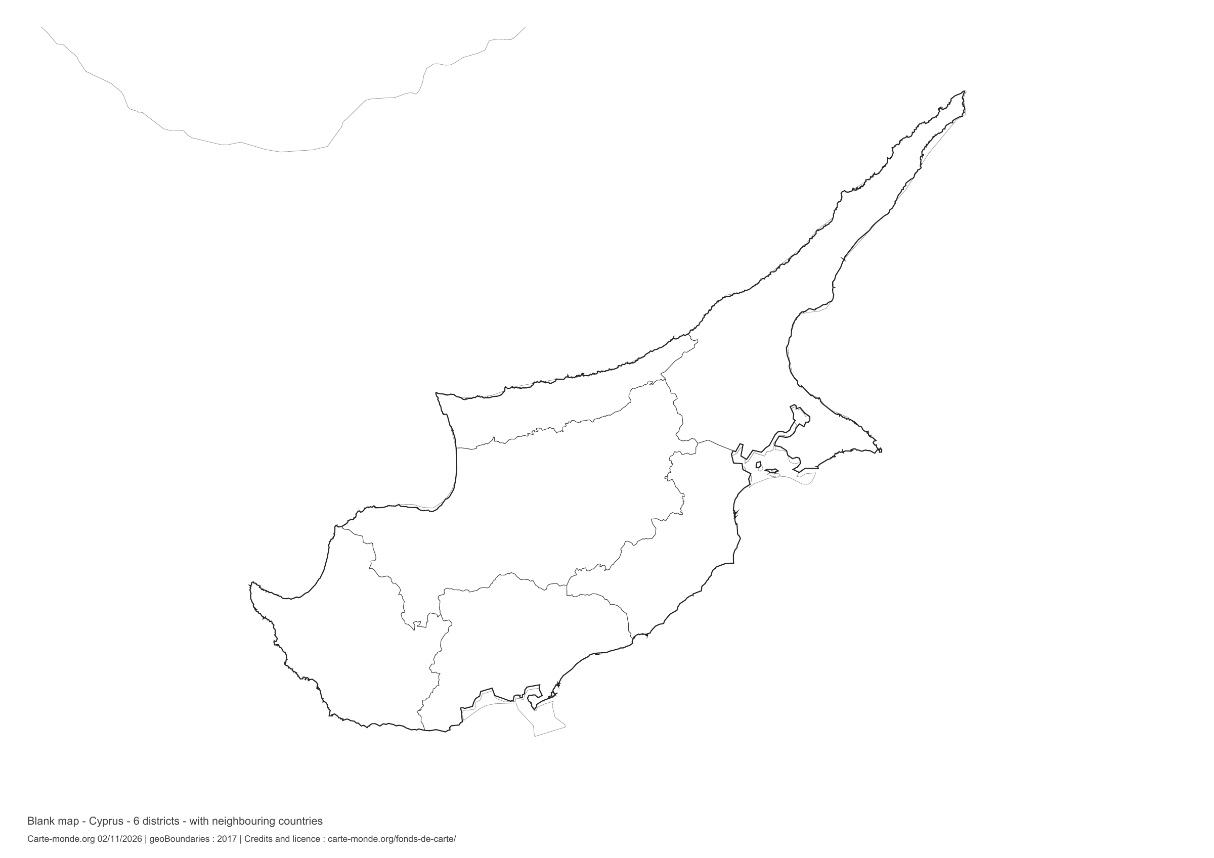
Cyprus: boundaries with neighbouring countries, base map without names

Model 6 · November 2026 edition

Boundaries with neighbouring countries

Divisions shown: 6 districts. Add names and colors. The outlines of surrounding countries appear as light lines, without names or color fills.

A4 landscape vector PDF · PNG 2 400 px

The six-base-map pack

The six templates in PDF, PNG and editable SVG, with credits and reuse terms.

Download the six base maps — ZIP

Which base map should I choose?

The outline is suitable for freehand sketches: add a capital, cities or rivers. The version with boundaries lets you color or name the units shown in the divisions. Full-page versions enlarge the country and save ink. The last two maps add neighboring countries for location exercises.

Geographical names are deliberately omitted. Any inset titles indicate only their coverage and individual scales.

Maps of Cyprus: labelled maps and original collection.

Download and print

  1. Open the PDF for a sharp printout; choose the PNG for a document or presentation.
  2. Print on an A4 sheet using the file’s orientation. Use “Fit to page” if your printer requires it.
  3. Any insets use different scales from the main map. Retain the source notes at the bottom of the sheet.

To edit the outlines, open the pack’s SVG in a vector editor. These generalised maps are intended for exercises and presentations.

Sources and reuse

Geometries: geoBoundaries gbOpen, 2017. Primary source: OpenStreetMap, Wambacher. Licence stated in the metadata: Open Data Commons Open Database License 1.0. View the source metadata.

Neighbouring country outlines: Natural Earth 5.1.1, public domain. Layout by Carte-monde.org, 2 November 2026 edition, under CC BY 4.0. The data retain their attributions and licences; consult the ZIP notes before reuse.

Example credit: Carte-monde.org, edition dated 2 November 2026 — geoBoundaries / OpenStreetMap, Wambacher.

Continue exploring

Maps of Cyprus · Maps of European countries · Other maps and archives

Original French files

Printable base maps of Belgium

BELGIUM · MAPS TO COMPLETE

Download a blank map of Belgium to add names, prepare a sketch map or colour territories. Six black-and-white versions are available: outlines and boundaries, with space for a key, full-page or with neighbouring countries. Each map is available as an A4 PDF and PNG.

Our six blank maps have English labels.

Six base maps of Belgium to complete

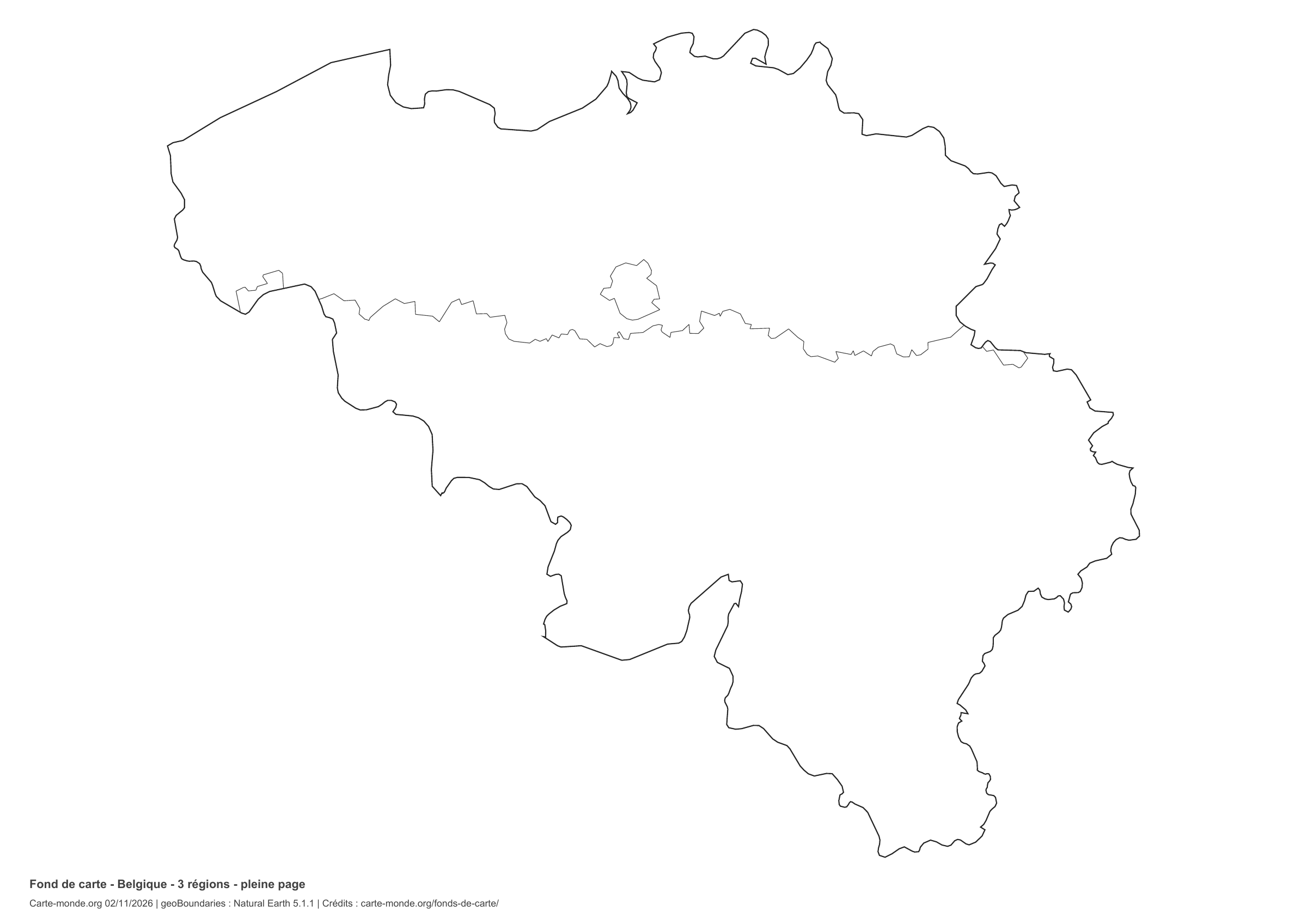
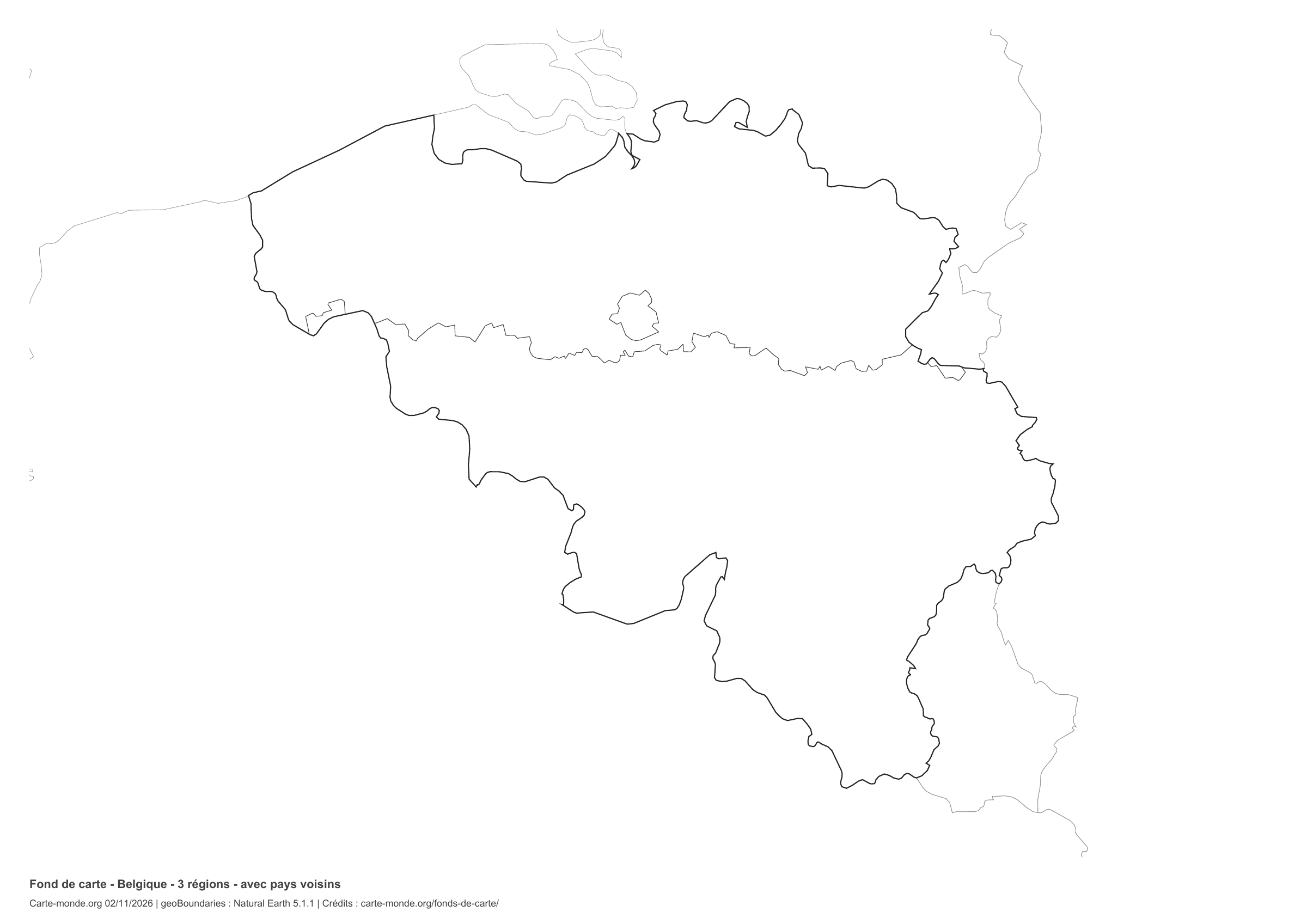
Coverage: Belgium. Divisions: 3 regions.

Three regions: Flanders, Wallonia and Brussels-Capital. Natural Earth 5.1.1 provinces grouped by region; generalised boundaries.

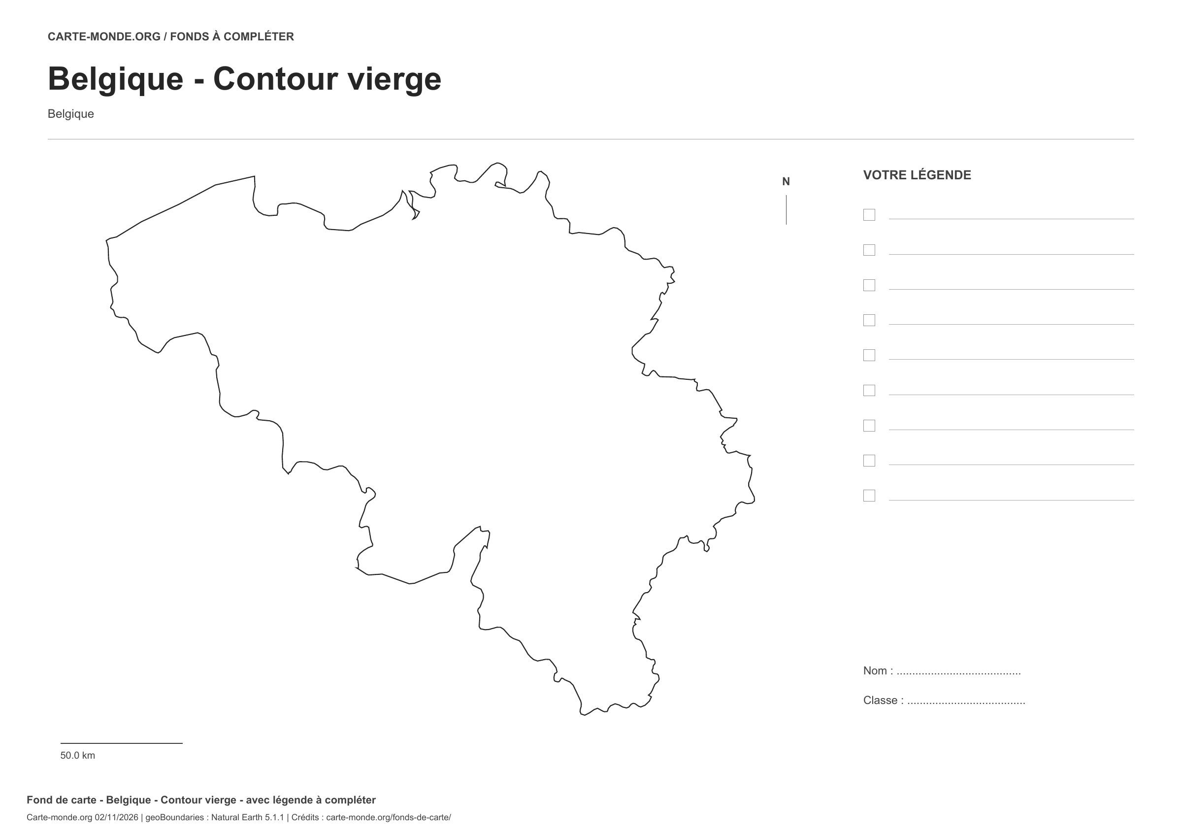
Belgium: outline with space for a legend, base map without names

Model 1 · November 2026 edition

Outline with space for a legend

National outline without names or internal boundaries, to complete freely. Space for your key, name and class.

A4 landscape vector PDF · PNG 2 400 px

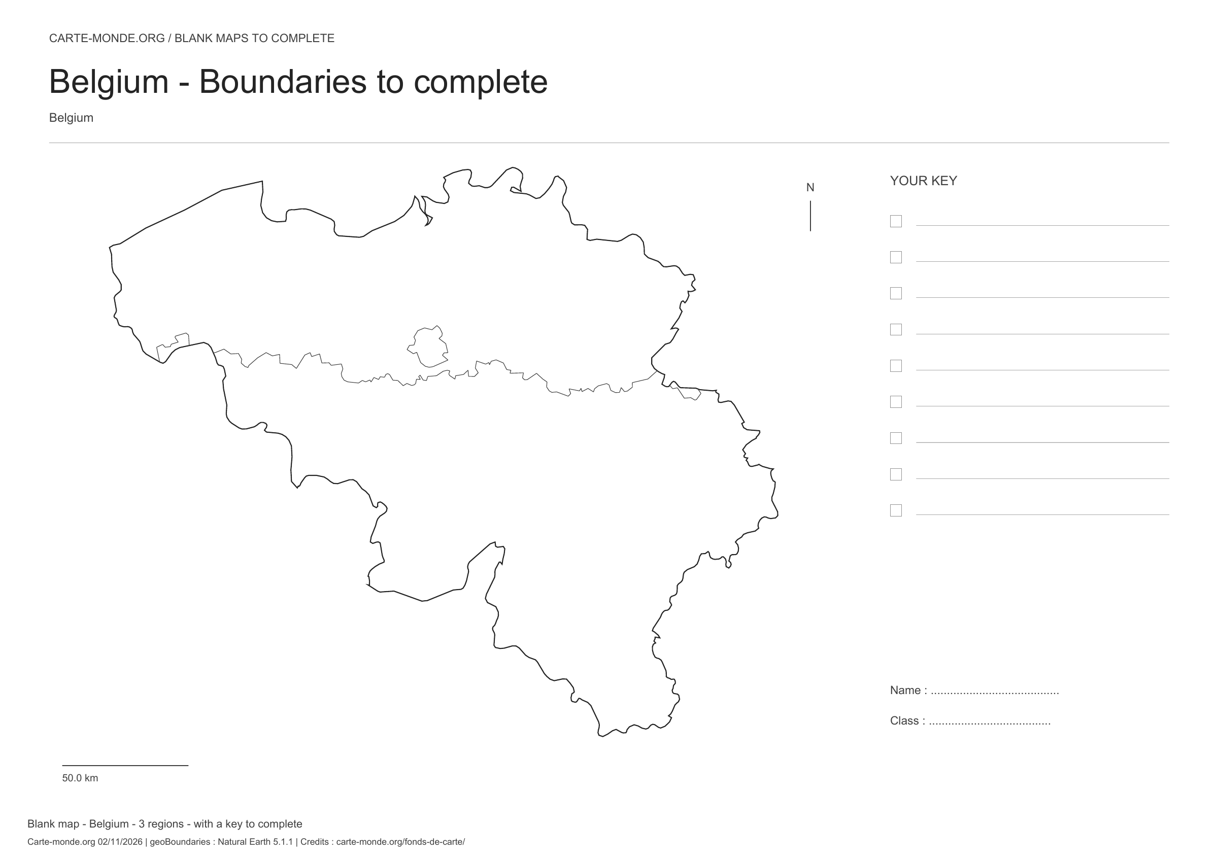
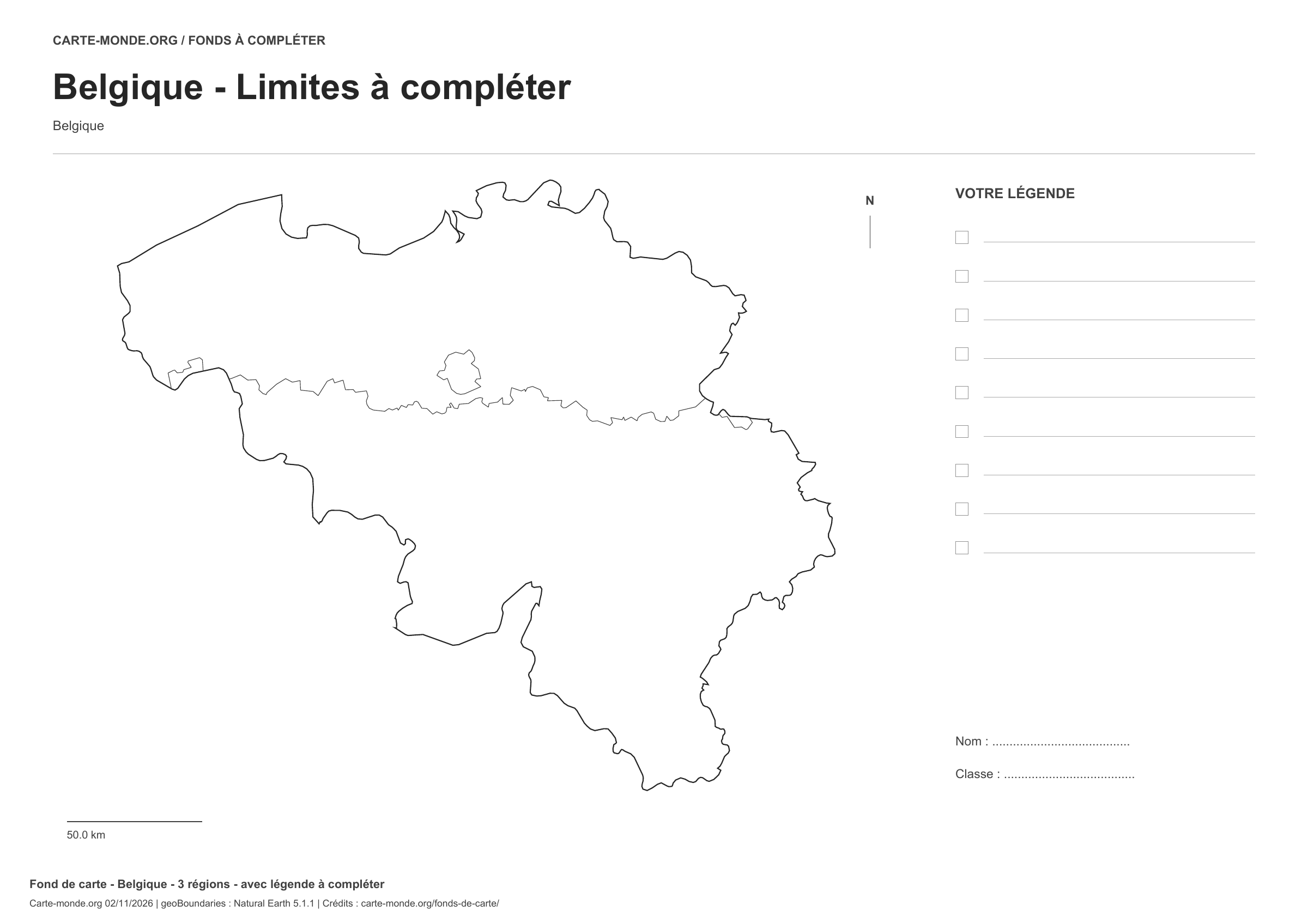
Belgium: boundaries with space for a legend, base map without names

Model 2 · November 2026 edition

Boundaries with space for a legend

Divisions shown: 3 regions. Add names and colours. Space for your key, name and class.

A4 landscape vector PDF · PNG 2 400 px

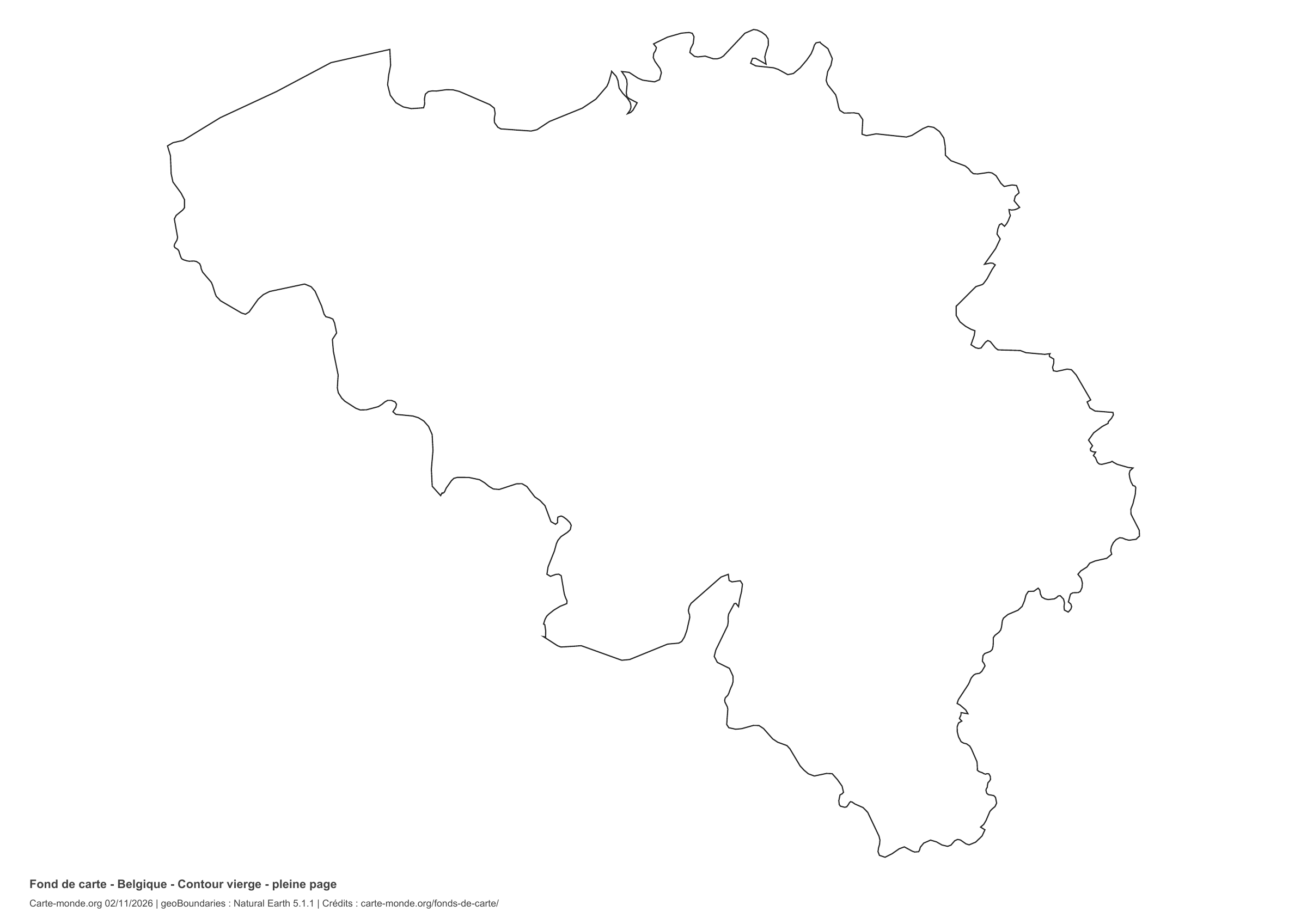
Belgium: full-page outline, base map without names

Model 3 · November 2026 edition

Full-page outline

National outline without names or internal boundaries, to complete freely. The map fills almost the entire sheet; only two reference lines appear at the bottom.

A4 landscape vector PDF · PNG 2 400 px

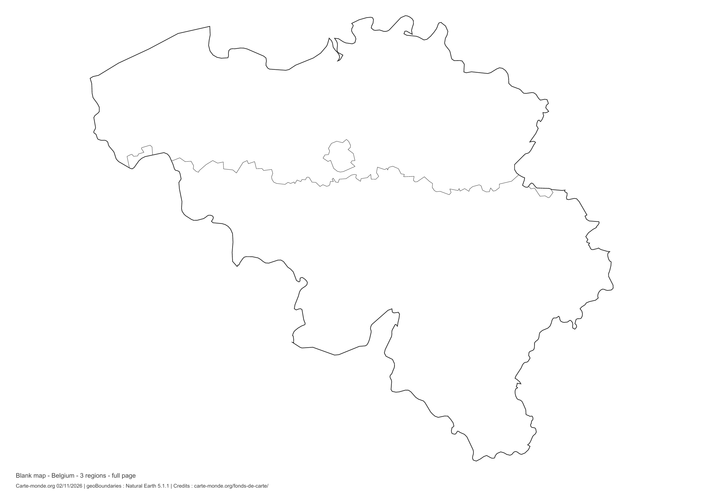
Belgium: full-page boundaries, base map without names

Model 4 · November 2026 edition

Full-page boundaries

Divisions shown: 3 regions. Add names and colours. The map fills almost the entire sheet; only two reference lines appear at the bottom.

A4 landscape vector PDF · PNG 2 400 px

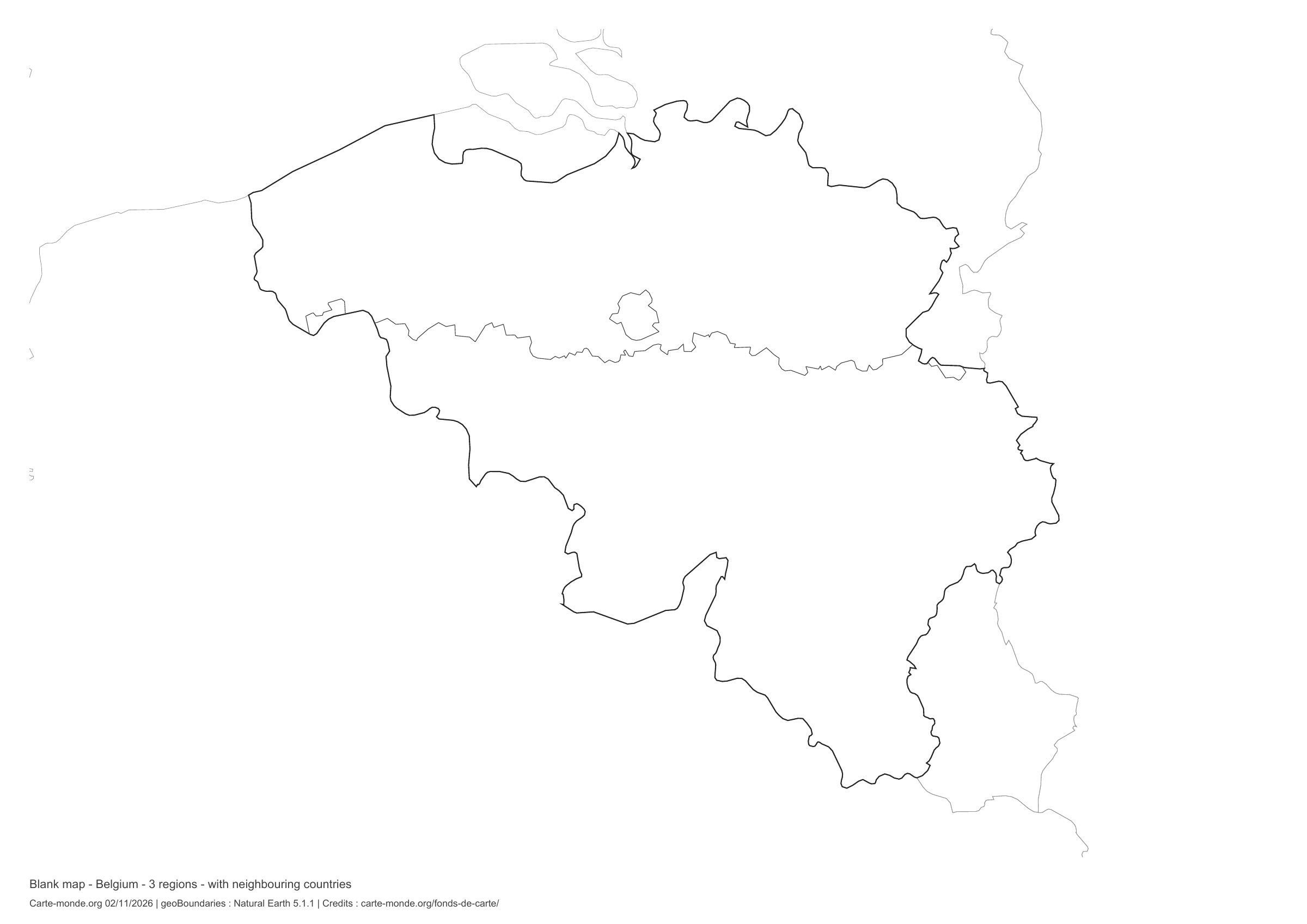
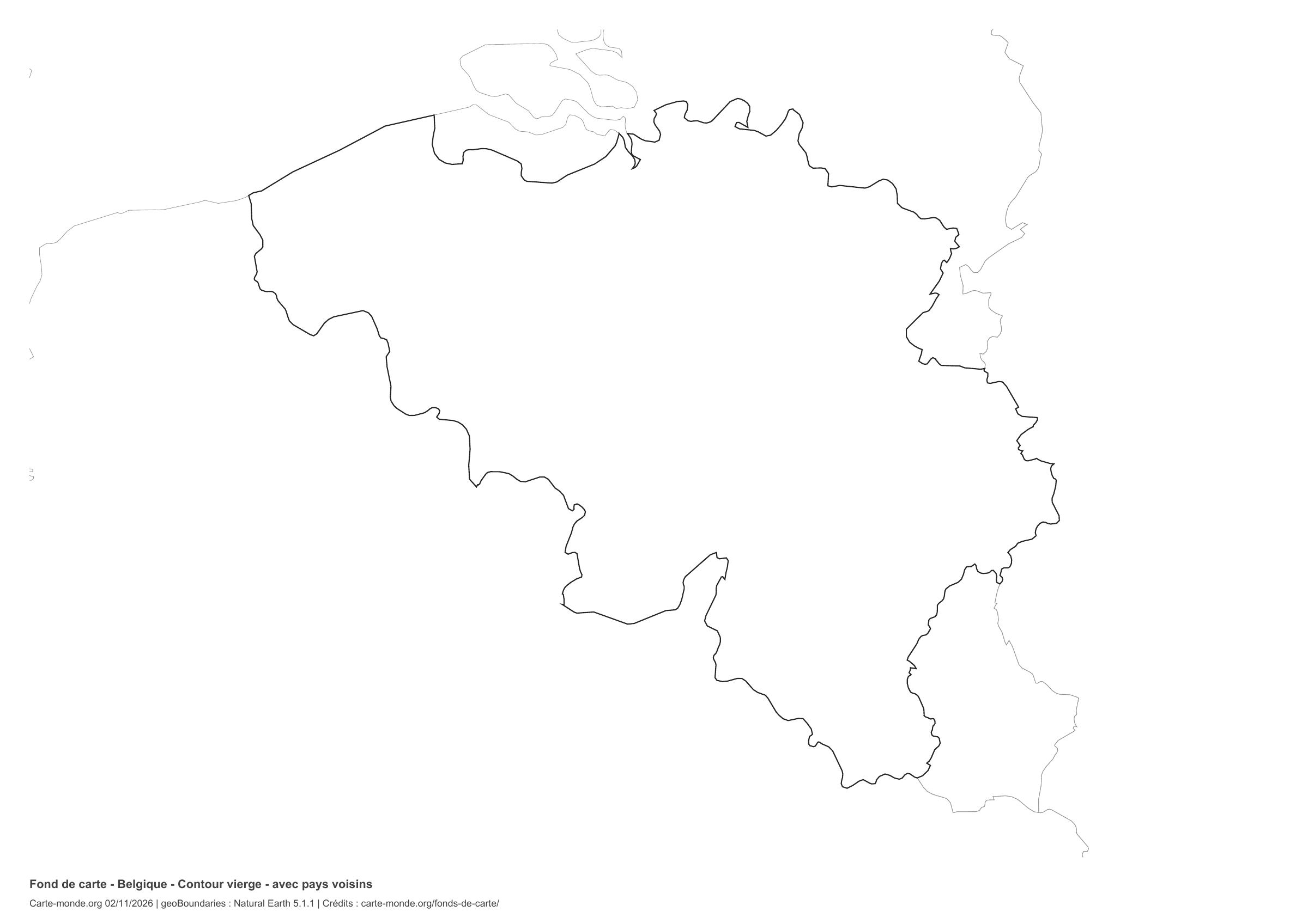
Belgium: outline with neighbouring countries, base map without names

Model 5 · November 2026 edition

Outline with neighbouring countries

National outline without names or internal boundaries, to complete freely. Surrounding countries are shown with light outlines, without names or colour fills.

A4 landscape vector PDF · PNG 2 400 px

Belgium: boundaries with neighbouring countries, base map without names

Model 6 · November 2026 edition

Boundaries with neighbouring countries

Divisions shown: 3 regions. Add names and colours. Surrounding countries are shown with light outlines, without names or colour fills.

A4 landscape vector PDF · PNG 2 400 px

The six-base-map pack

The six templates in PDF, PNG and editable SVG, with credits and reuse terms.

Download the six base maps — ZIP

Which base map should I choose?

The outline is suitable for freehand sketches: add a capital, cities or rivers. The version with boundaries lets you color or name the units shown in the divisions. Full-page versions enlarge the country and save ink. The last two maps add neighboring countries for location exercises.

Geographical names are deliberately omitted. Any inset titles indicate only their coverage and individual scales.

Maps of Belgium: labelled maps and original collection.

Download and print

  1. Open the PDF for a sharp printout; choose the PNG for a document or presentation.
  2. Print on an A4 sheet using the file’s orientation. Use “Fit to page” if your printer requires it.
  3. Any insets use different scales from the main map. Retain the source notes at the bottom of the sheet.

To edit the outlines, open the pack’s SVG in a vector editor. These generalised maps are intended for exercises and presentations.

Sources and reuse

Geometries: Natural Earth 5.1.1, public domain. Provinces grouped according to Belgium’s three regions.

Neighbouring country outlines: Natural Earth 5.1.1, public domain. Layout by Carte-monde.org, 2 November 2026 edition, under CC BY 4.0. The data retain their attributions and licences; consult the ZIP notes before reuse.

Example credit: Carte-monde.org, edition of 2 November 2026 — Natural Earth, public domain.

Continue exploring

Maps of Belgium · Maps of European countries · Other maps and archives

Original French files

Printable base maps of Finland

FINLAND · MAPS TO COMPLETE

Download a blank map of Finland to add names, prepare a sketch map or colour territories. Six black-and-white versions are available: outlines and boundaries, with space for a key, full-page or with neighbouring countries. Each map is available as an A4 PDF and PNG.

Our six blank maps have English labels.

Six base maps of Finland to complete

Coverage: Finland. Divisions: 19 regions, including Åland.

Geographic reference year: 2017. The files’ edition date does not mean that all boundaries have been updated.

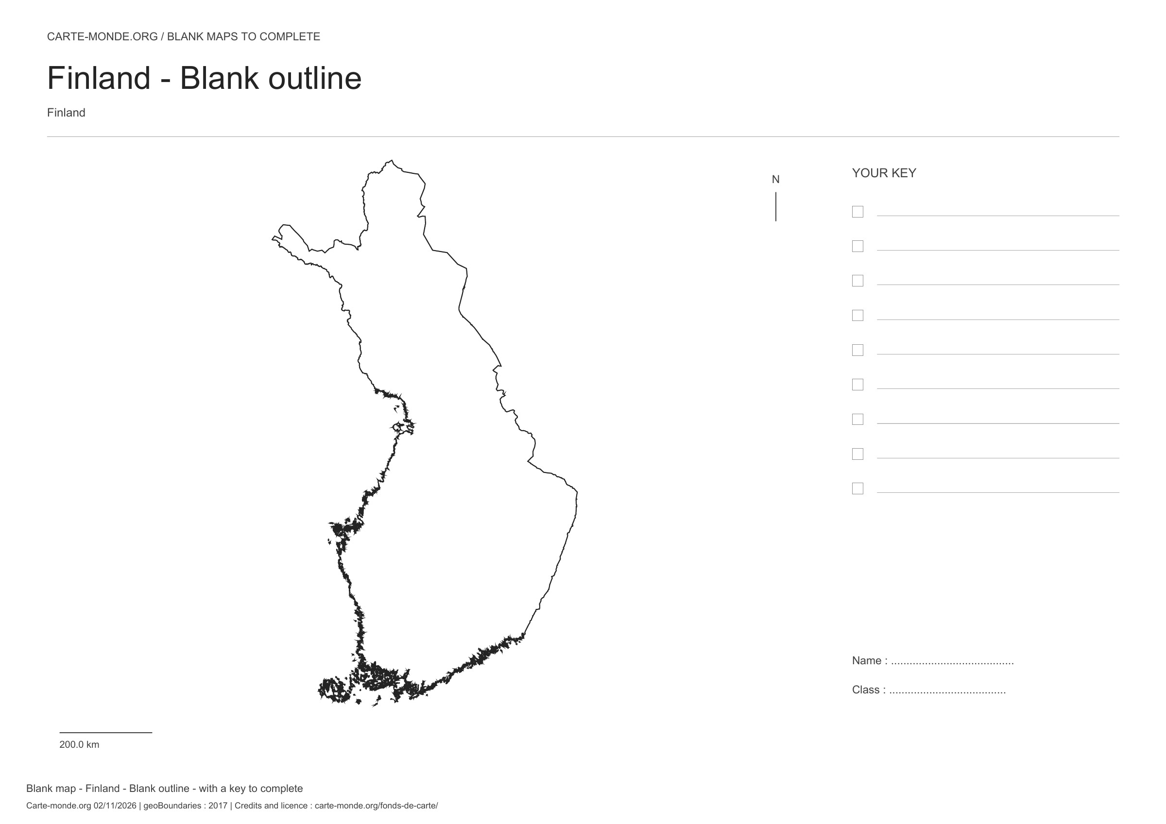
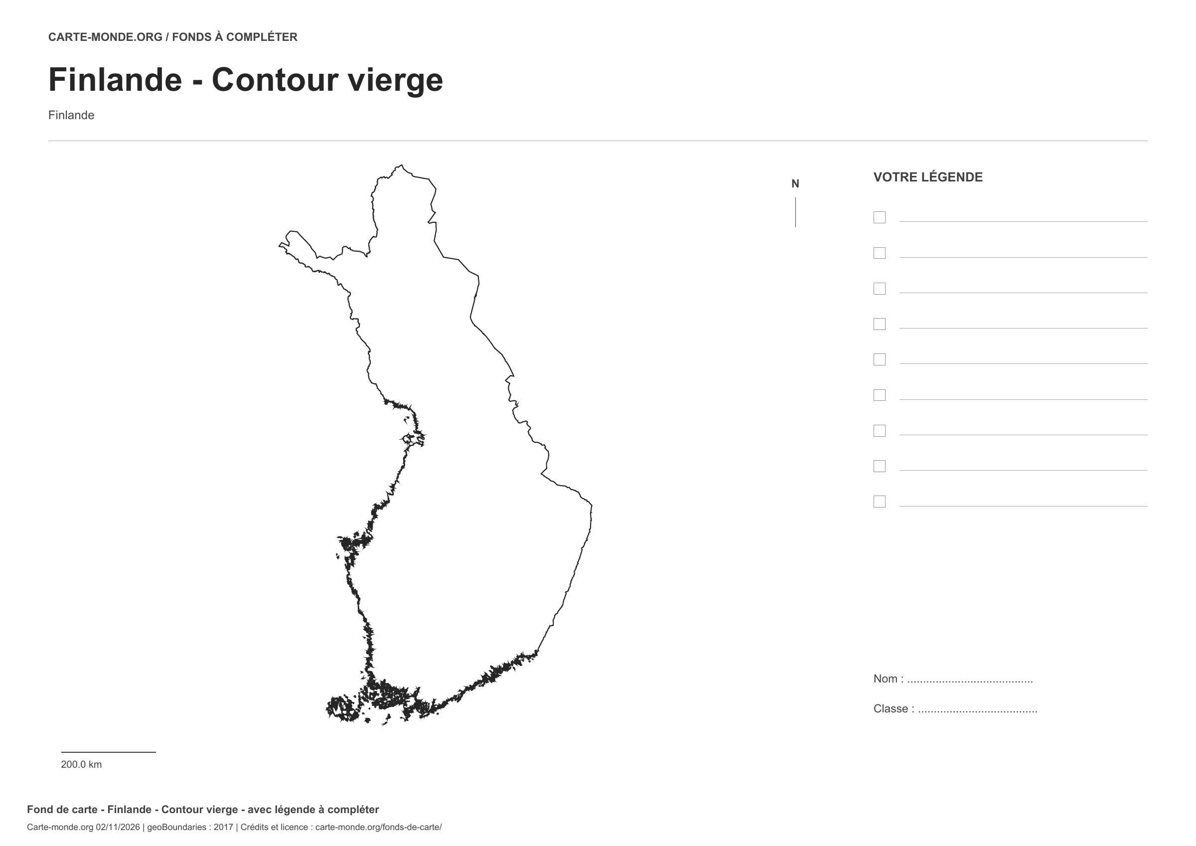
Finland: outline with space for a legend, base map without names

Model 1 · November 2026 edition

Outline with space for a legend

National outline without names or internal boundaries, to complete freely. Space for your key, name and class.

A4 landscape vector PDF · PNG 2 400 px

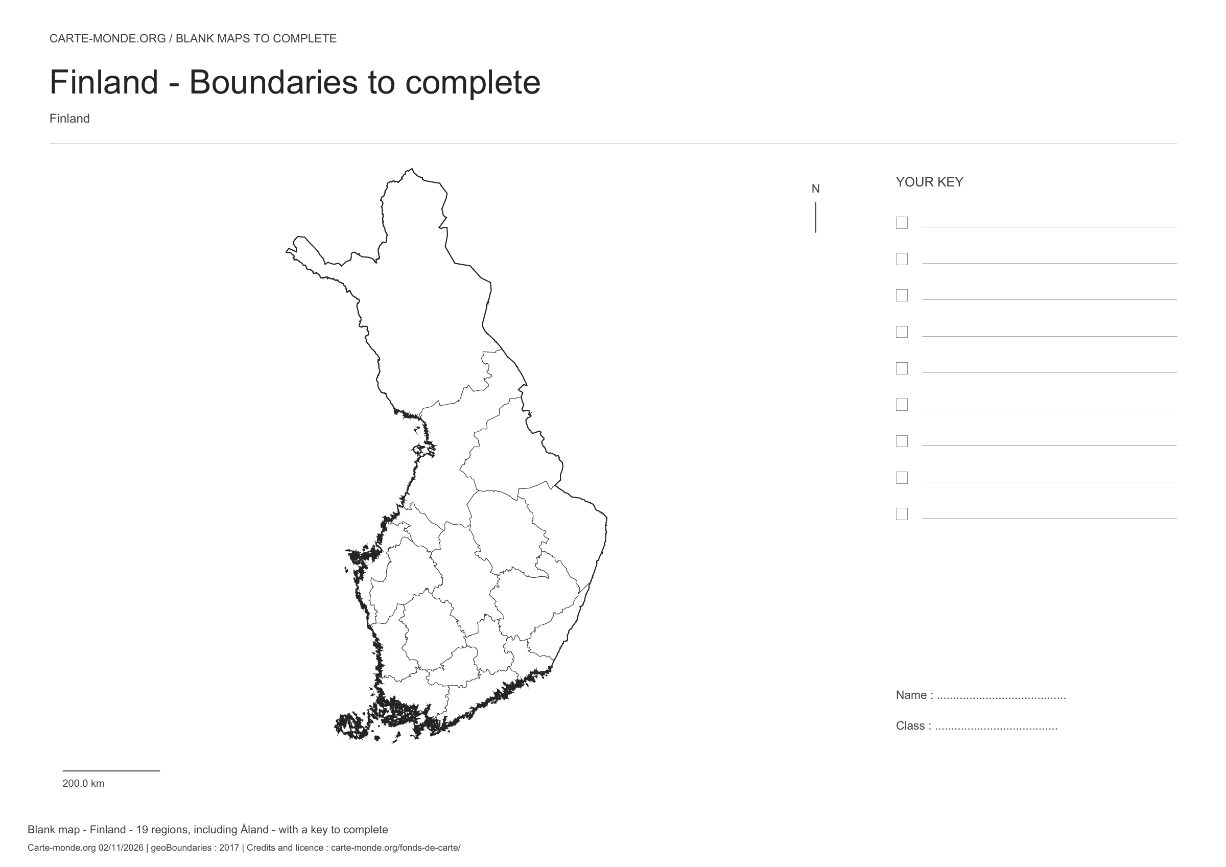
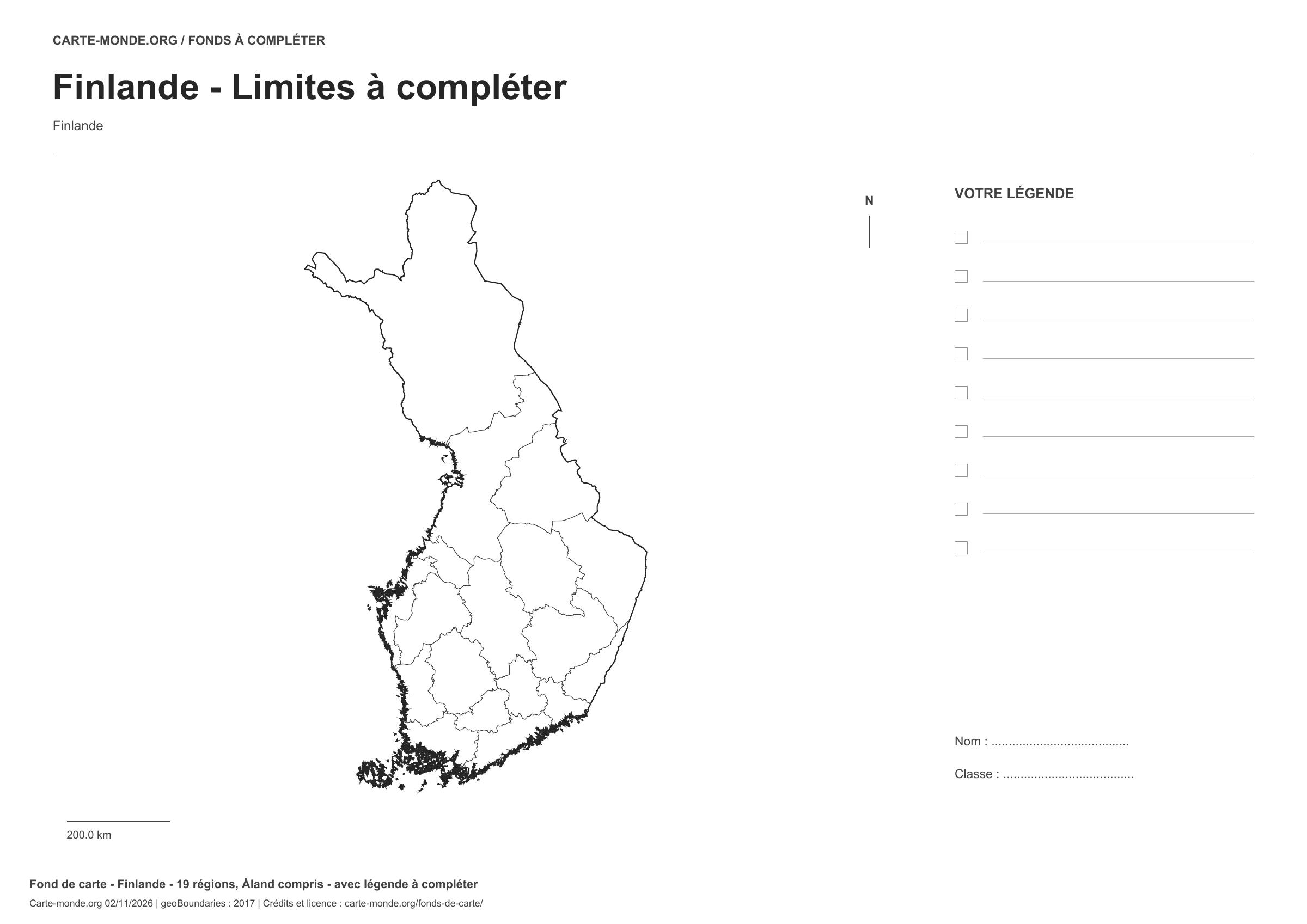
Finland: boundaries with space for a legend, base map without names

Model 2 · November 2026 edition

Boundaries with space for a legend

Divisions shown: 19 regions, including Åland. Add names and colours. Space for your legend, name and class.

A4 landscape vector PDF · PNG 2 400 px

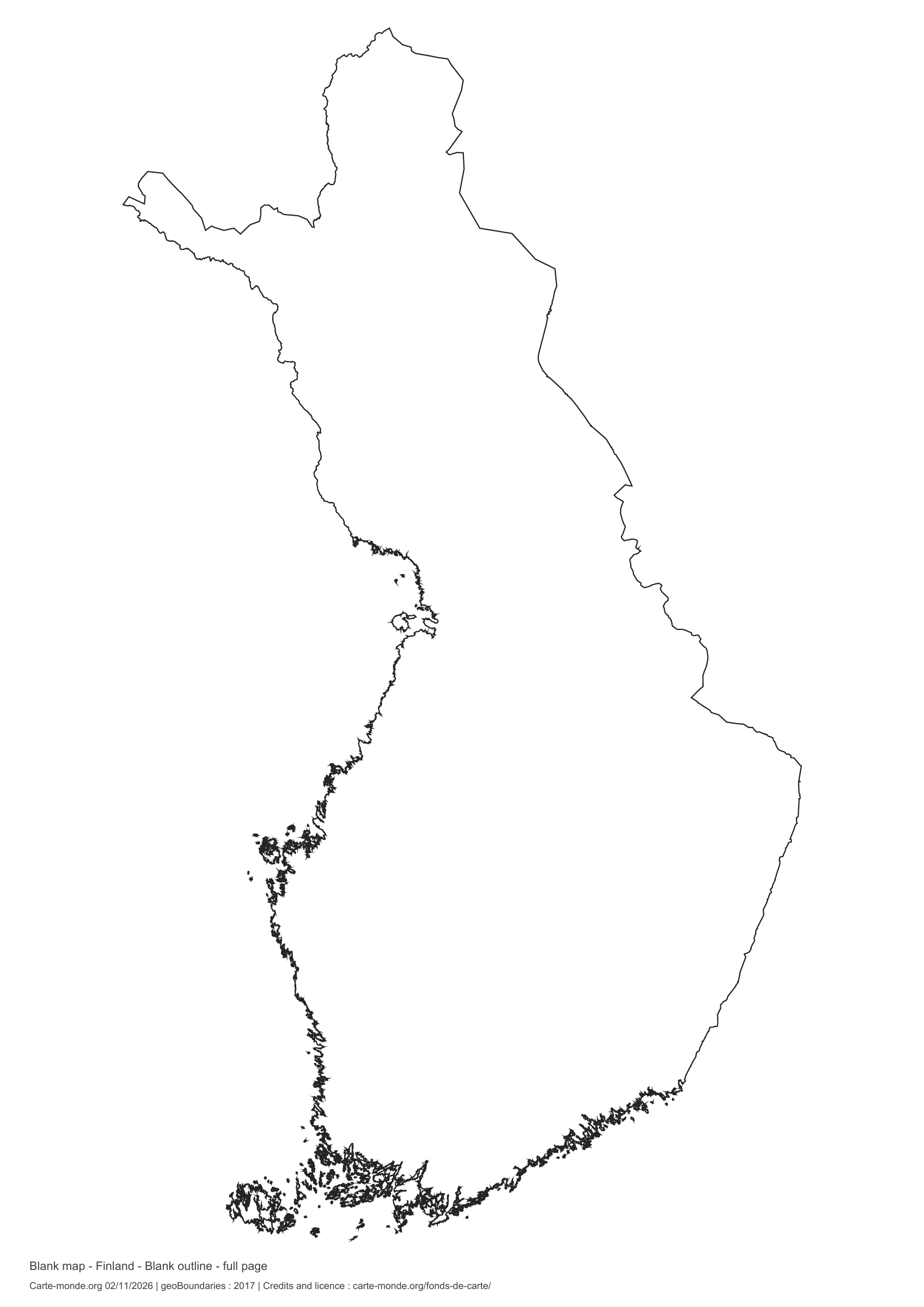
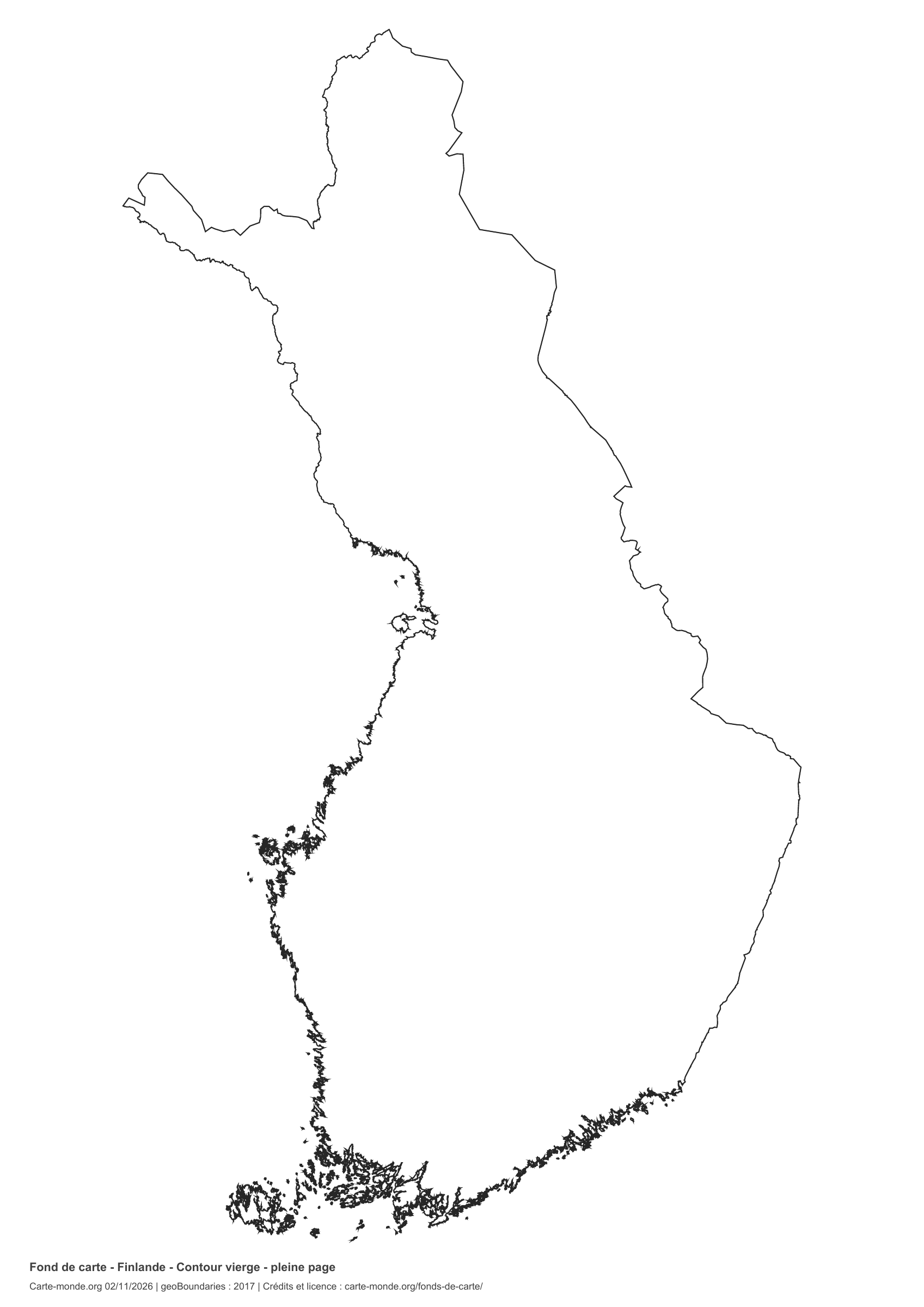
Finland: full-page outline, base map without names

Model 3 · November 2026 edition

Full-page outline

National outline without names or internal boundaries, to complete freely. The map fills almost the entire sheet; only two reference lines appear at the bottom.

A4 portrait vector PDF · PNG 2 400 px

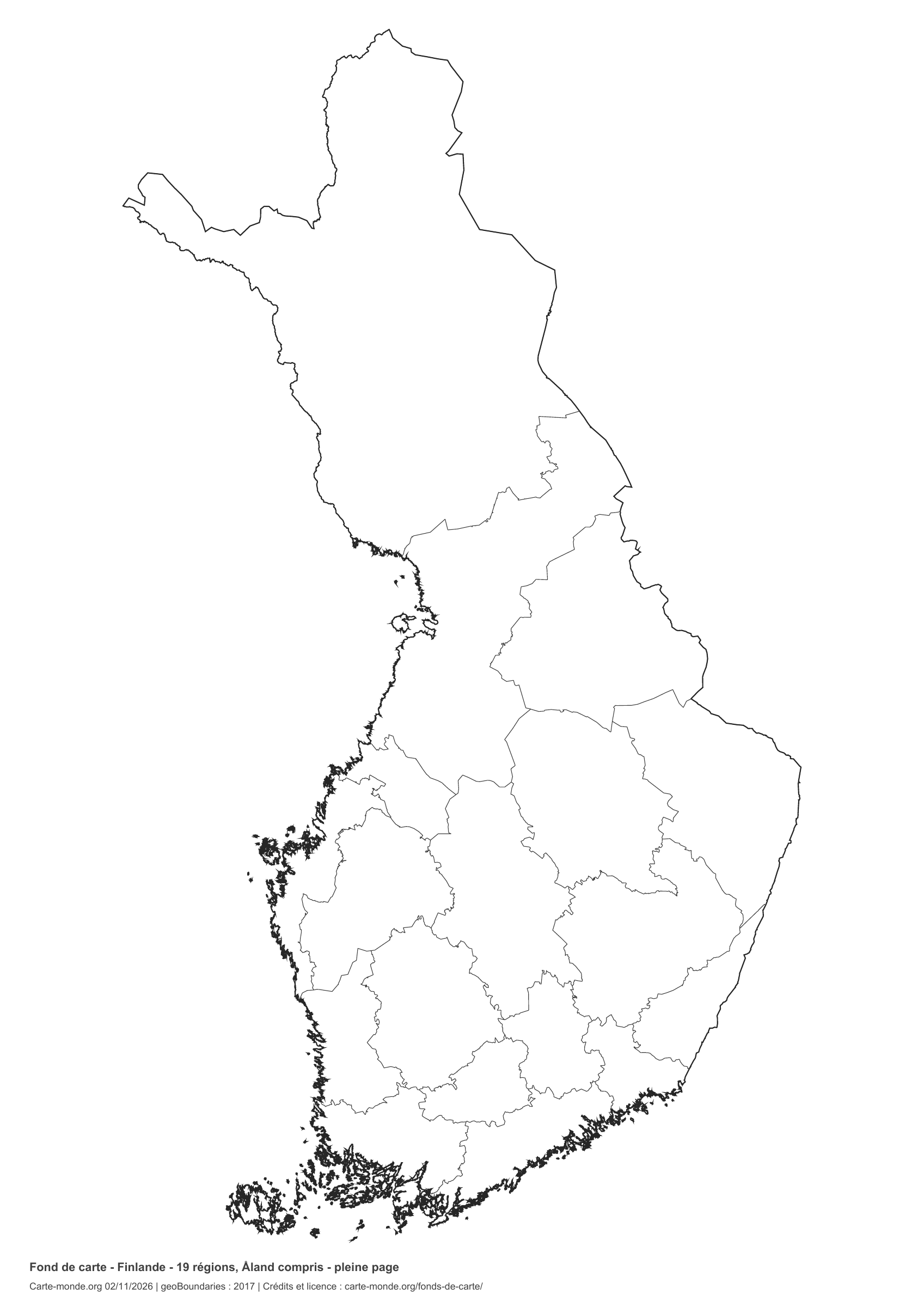
Finland: full-page boundaries, base map without names

Model 4 · November 2026 edition

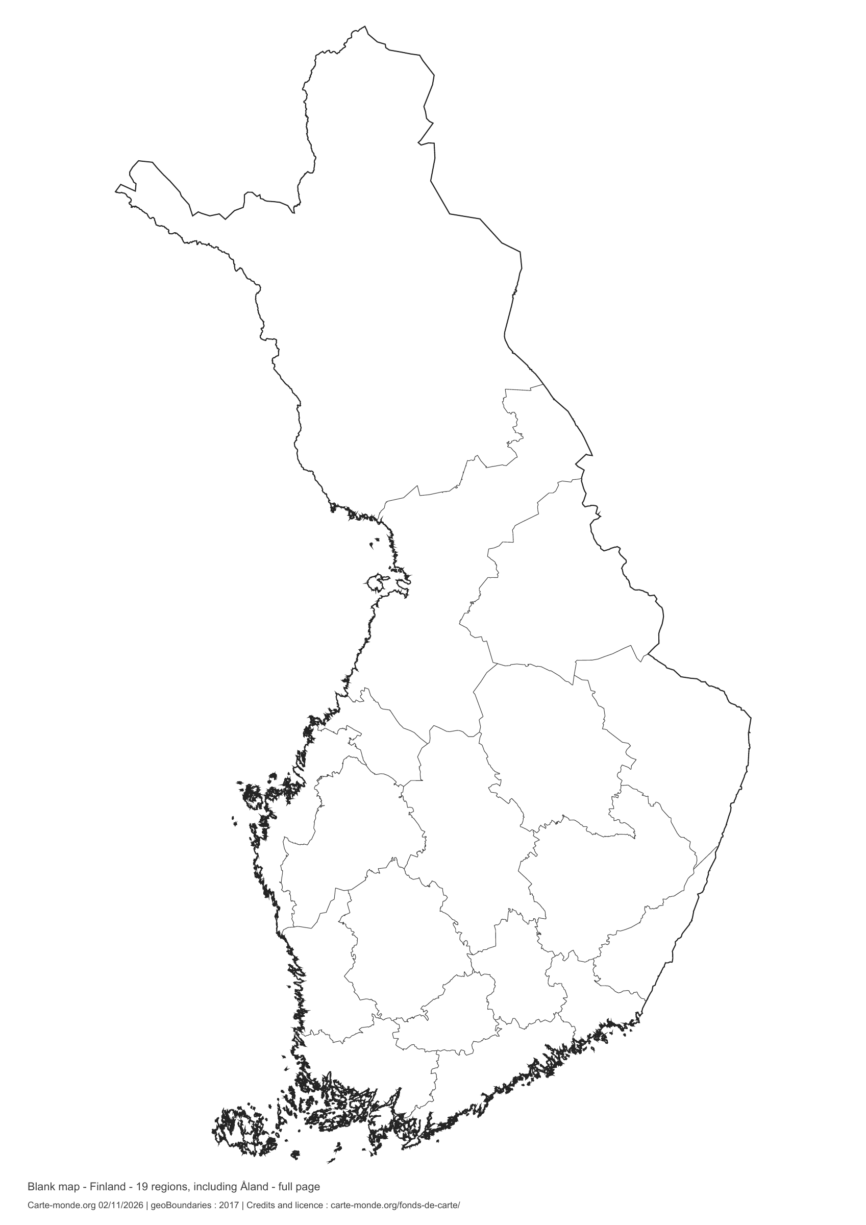
Full-page boundaries

Divisions shown: 19 regions, including Åland. Add names and colours. The map fills almost the entire sheet; only two reference lines appear at the bottom.

A4 portrait vector PDF · PNG 2 400 px

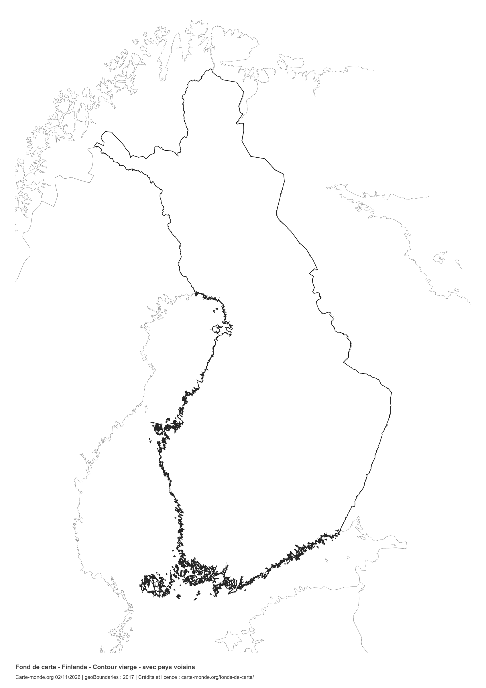
Finland: outline with neighbouring countries, base map without names

Model 5 · November 2026 edition

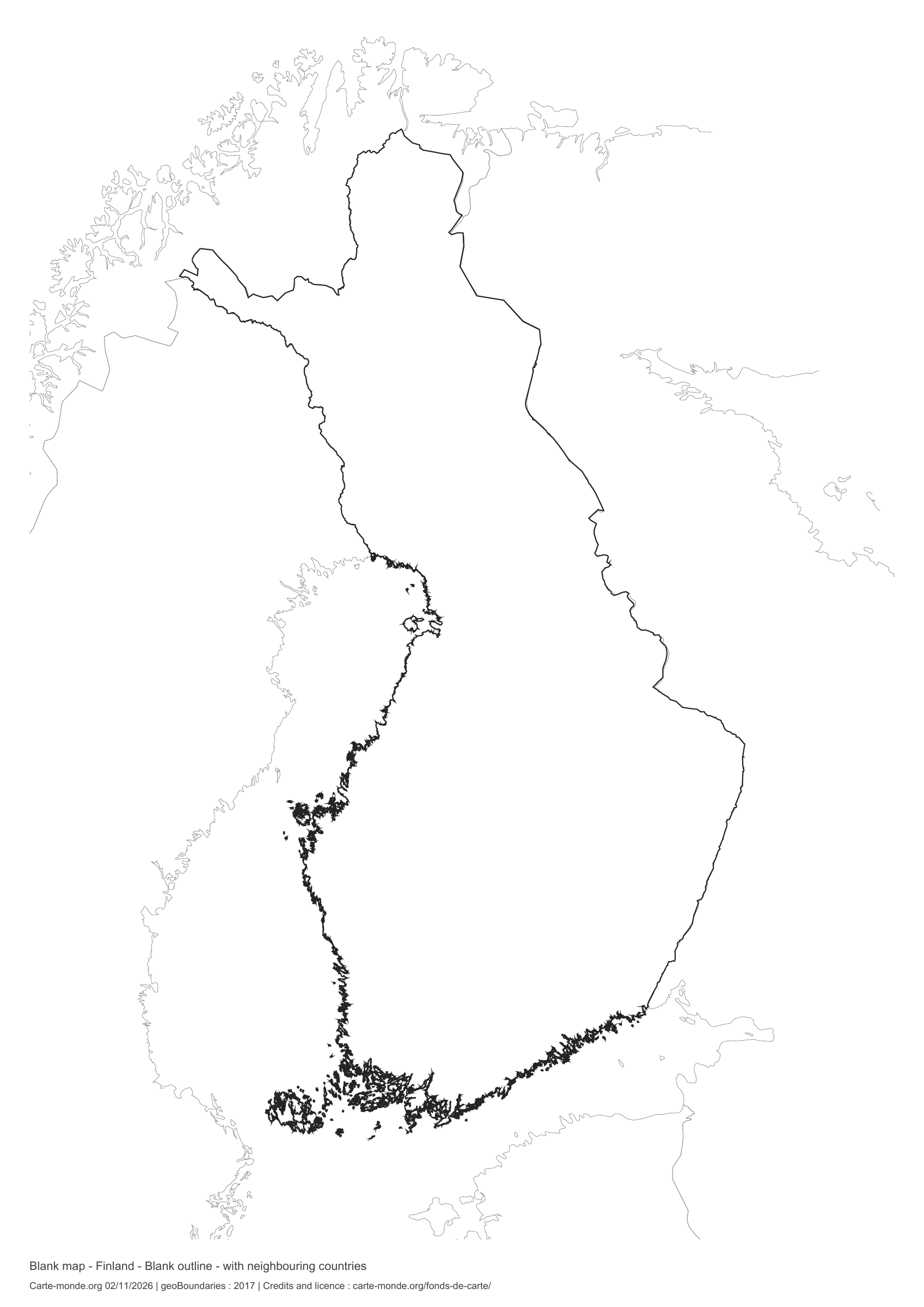
Outline with neighbouring countries

National outline without names or internal boundaries, to complete freely. Surrounding countries are shown with light outlines, without names or colour fills.

A4 portrait vector PDF · PNG 2 400 px

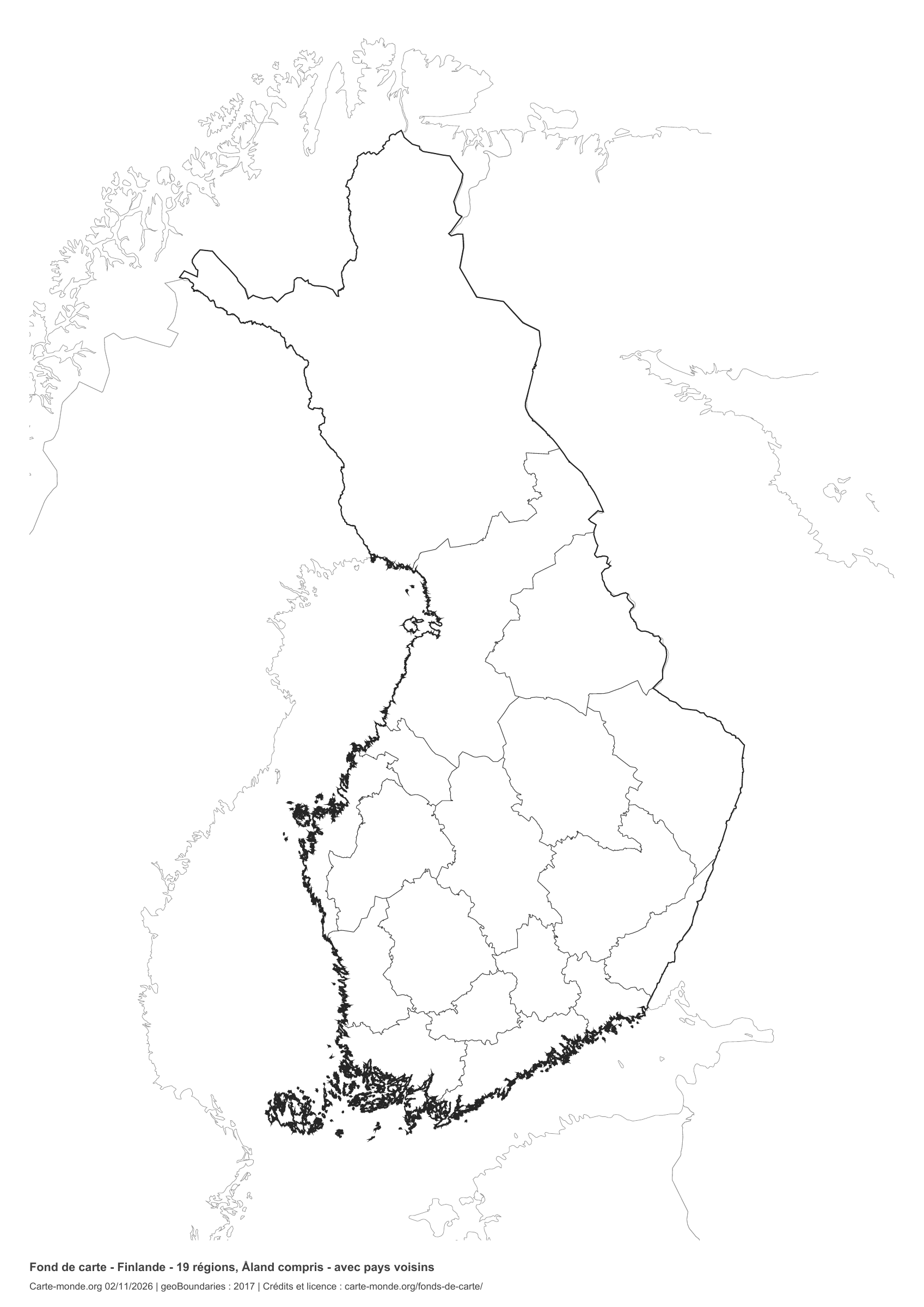
Finland: boundaries with neighbouring countries, base map without names

Model 6 · November 2026 edition

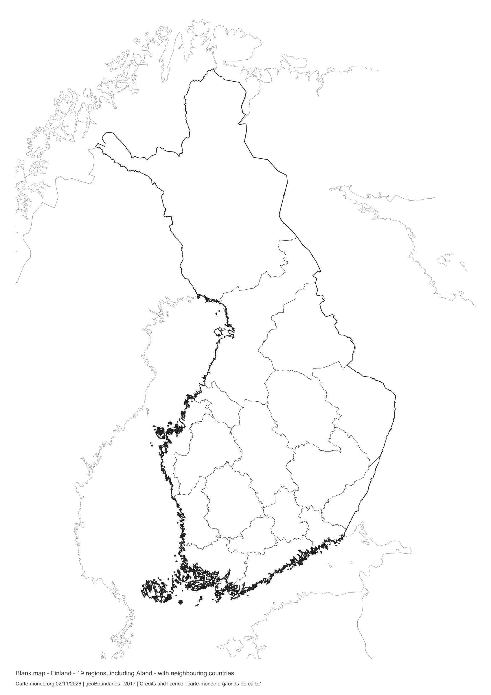
Boundaries with neighbouring countries

Divisions shown: 19 regions, including Åland. Add names and colours. Surrounding countries are shown with light outlines, without names or colour fills.

A4 portrait vector PDF · PNG 2 400 px

The six-base-map pack

The six templates in PDF, PNG and editable SVG, with credits and reuse terms.

Download the six base maps — ZIP

Which base map should I choose?

The outline is suitable for freehand sketches: add a capital, cities or rivers. The version with boundaries lets you color or name the units shown in the divisions. Full-page versions enlarge the country and save ink. The last two maps add neighboring countries for location exercises.

Geographical names are deliberately omitted. Any inset titles indicate only their coverage and individual scales.

Maps of Finland: labelled maps and original collection.

Download and print

  1. Open the PDF for a sharp printout; choose the PNG for a document or presentation.
  2. Print on an A4 sheet using the file’s orientation. Use “Fit to page” if your printer requires it.
  3. Any insets use different scales from the main map. Retain the source notes at the bottom of the sheet.

To edit the outlines, open the pack’s SVG in a vector editor. These generalised maps are intended for exercises and presentations.

Sources and reuse

Geometries: geoBoundaries gbOpen, 2017. Primary source: OpenStreetMap, Wambacher. Licence stated in the metadata: Open Data Commons Open Database License 1.0. View the source metadata.

Neighbouring country outlines: Natural Earth 5.1.1, public domain. Layout by Carte-monde.org, 2 November 2026 edition, under CC BY 4.0. The data retain their attributions and licences; consult the ZIP notes before reuse.

Example credit: Carte-monde.org, edition dated 2 November 2026 — geoBoundaries / OpenStreetMap, Wambacher.

Continue exploring

Maps of Finland · Maps of European countries · Other maps and archives

Original French files