
Oceania, from Australia to the Pacific islands: countries, relief and population, with blank maps to complete.
Map labels and downloadable files remain in their original language, often French.
Four blank maps to complete
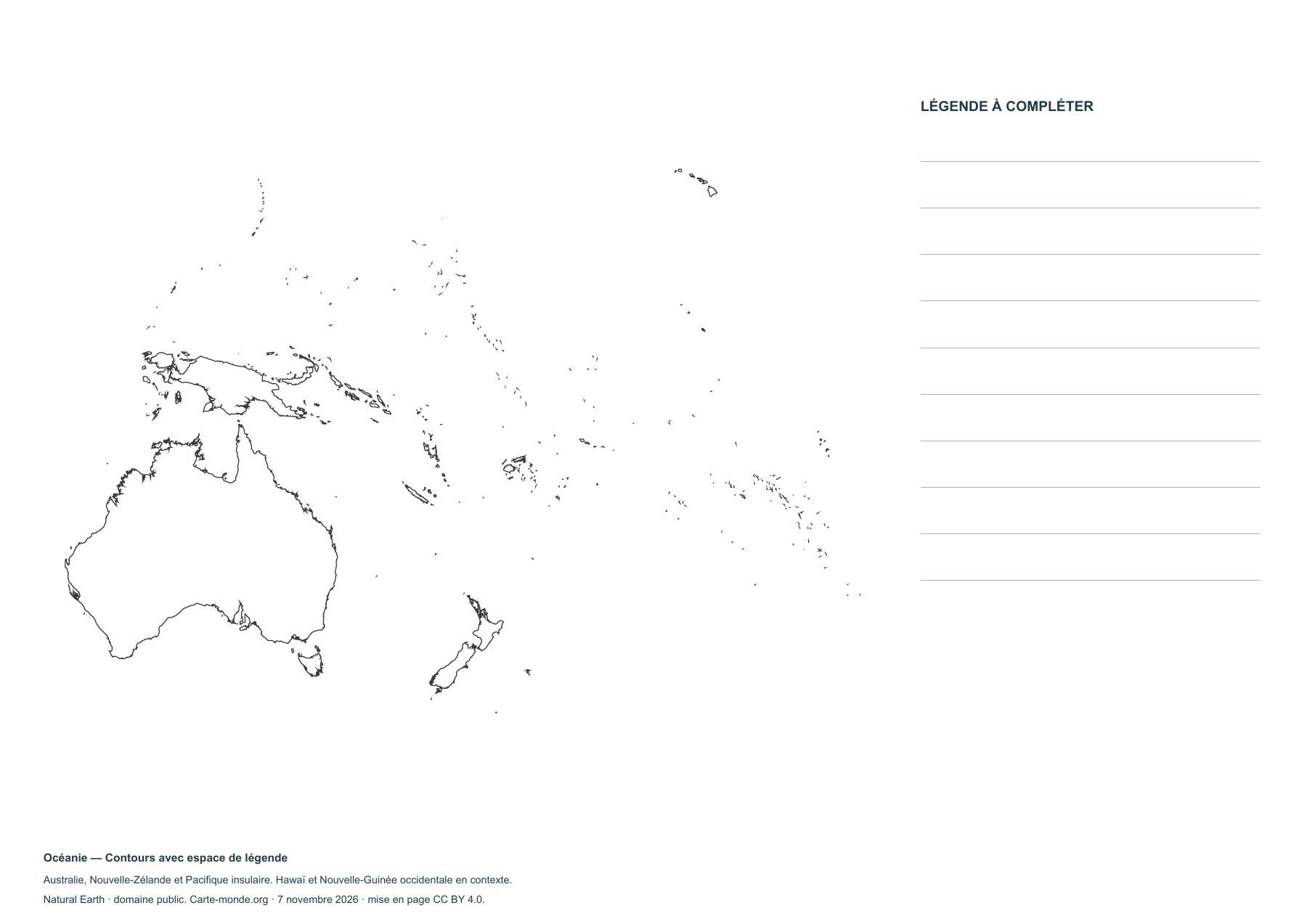
Oceania — Outlines with space for a key
Blank map to print and complete; small islands are highly generalised.
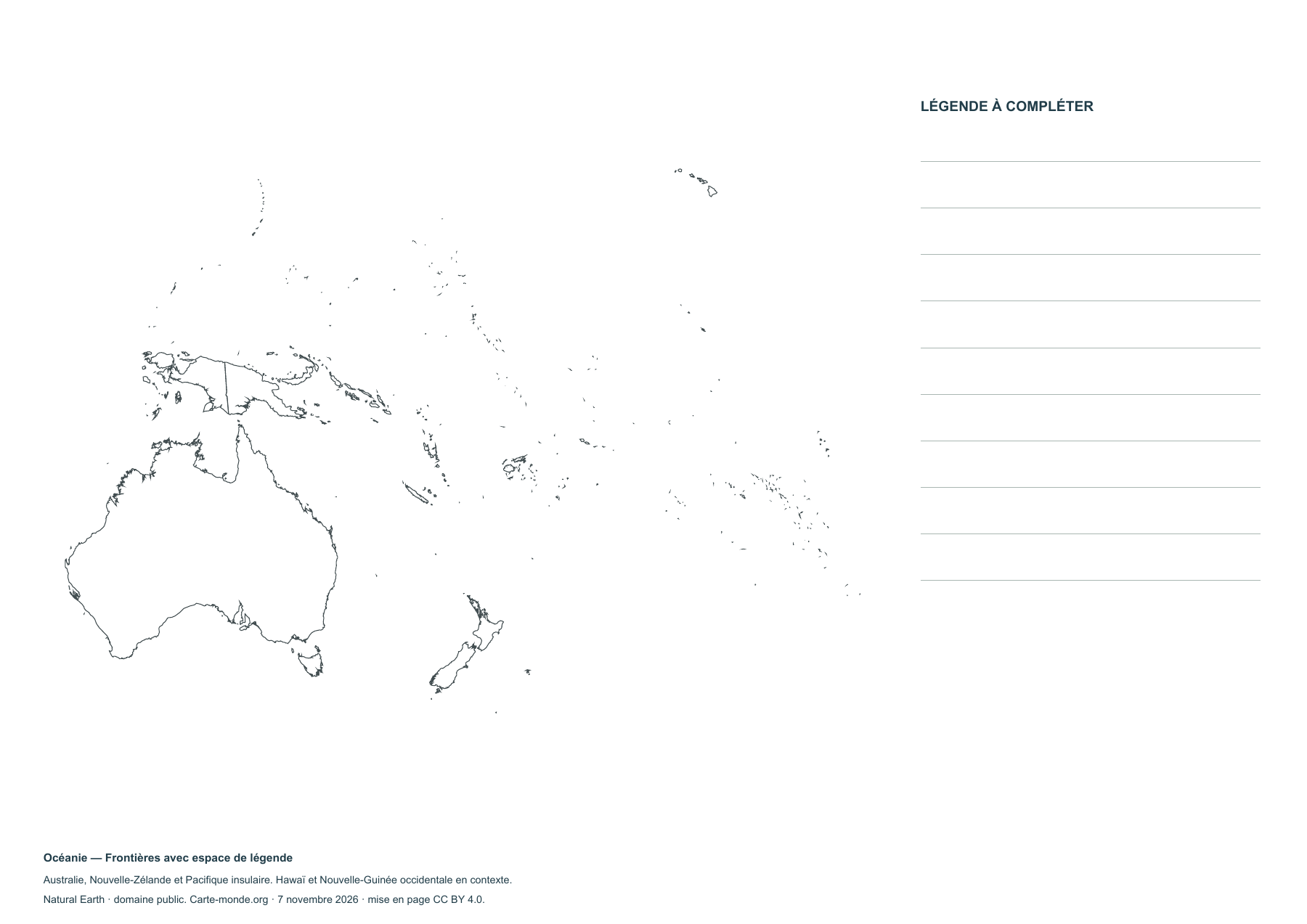
Oceania — Borders with space for a legend
Blank map to print and complete; small islands are highly generalised.
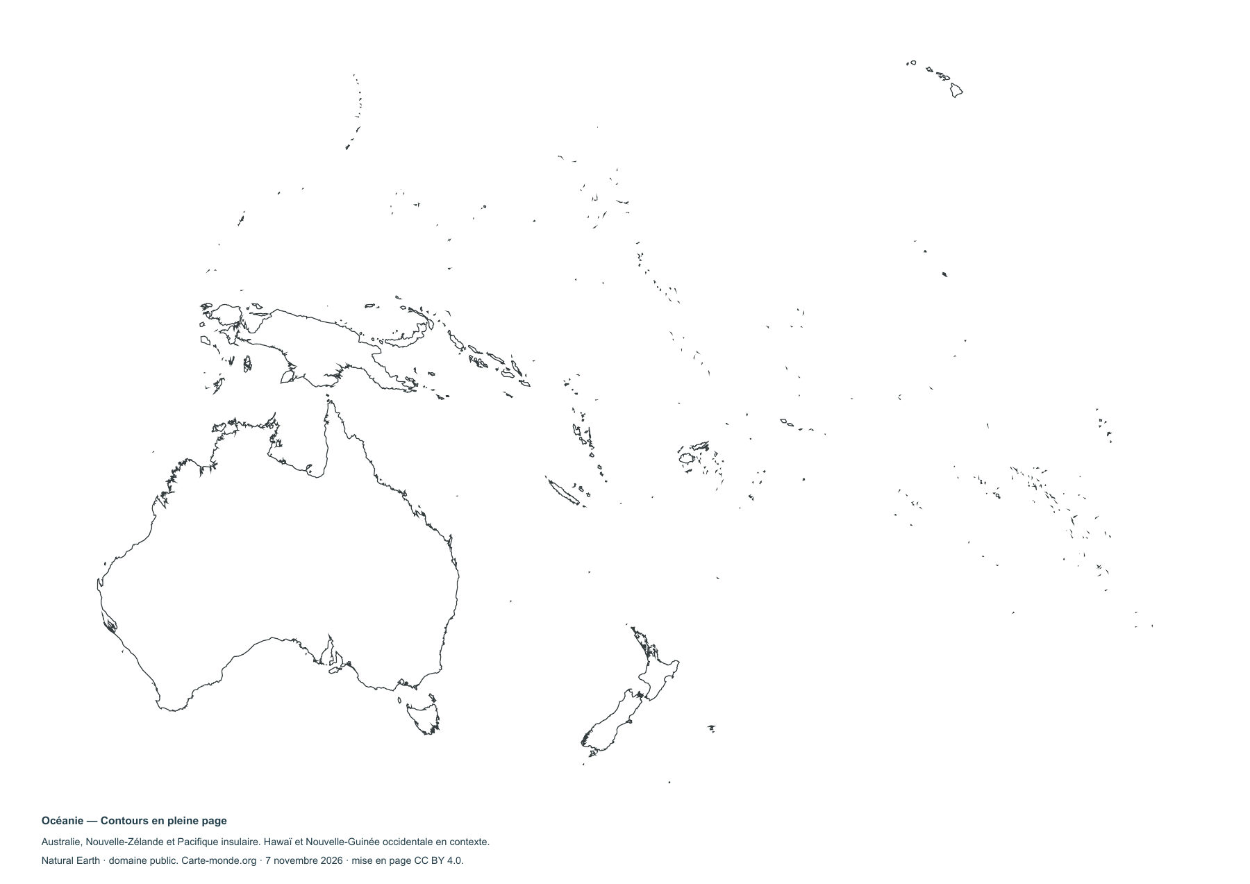
Oceania — Full-page outlines
Blank map to print and complete; small islands are highly generalised.
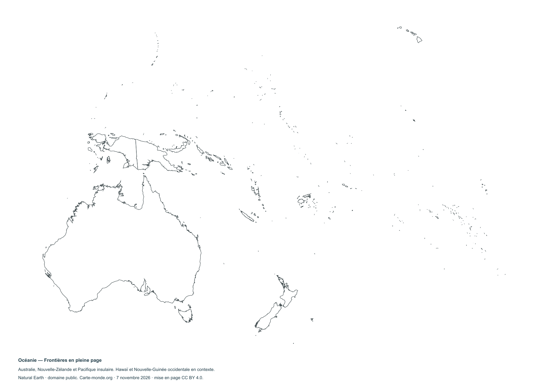
Oceania — Full-page borders
Blank map to print and complete; small islands are highly generalised.
Complete collection
PDF, PNG, SVG and sources.
Download the ZIP packMap extent, sources and reuse
Australia, New Zealand, Melanesia, Micronesia and Polynesia. Hawaii and western New Guinea shown for context; Rapa Nui and the remote Indian Ocean territories are outside the map. Lambert azimuthal equal-area projection centred on the Pacific (16° S, 170° E). Very small islands are generalised; the country pages will provide enlarged views.
Natural Earth, public domain, for boundaries, relief and waterways. GHS-POP R2023A, 2020 estimates, © European Union/JRC, CC BY 4.0, for population. Cartography Carte-monde.org, CC BY 4.0.


