
Mainland Africa and nearby islands, including Madagascar, Mauritius and the Seychelles.
Map labels and downloadable files remain in their original language, often French.
Four blank maps to complete
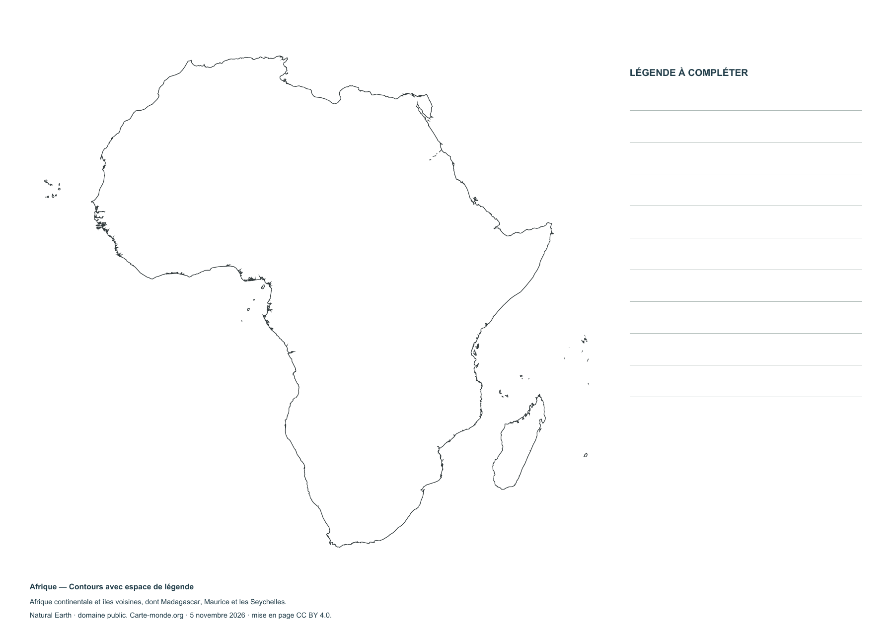
Africa — Outlines with space for a legend
Blank map to print and complete.
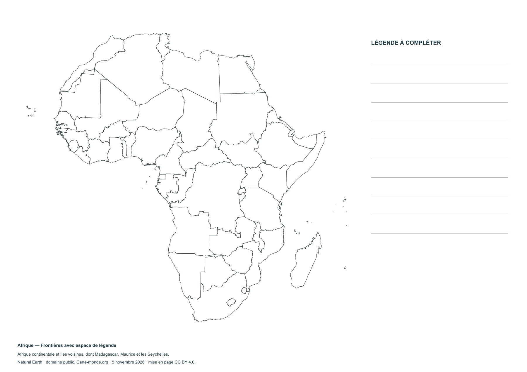
Africa — Borders with space for a key
Blank map to print and complete.
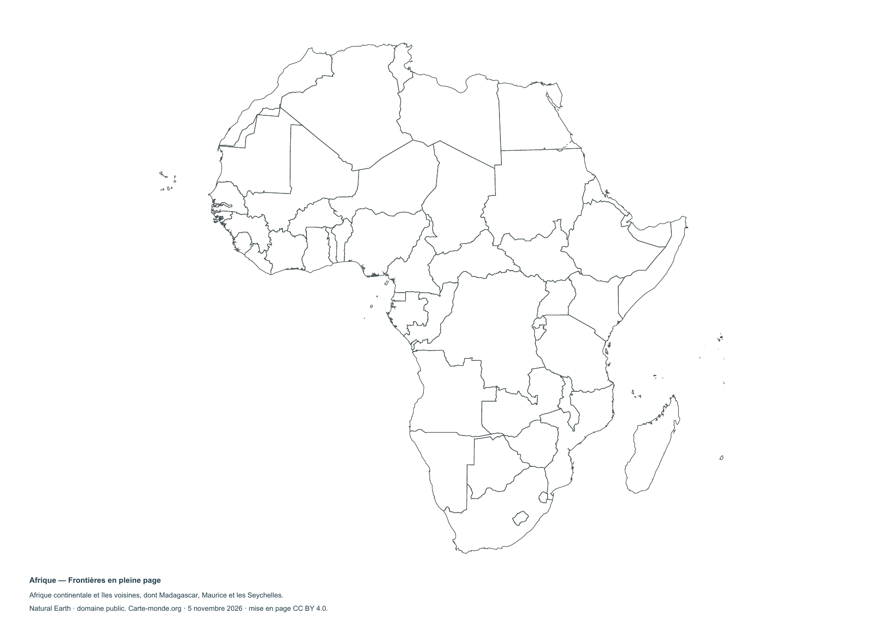
Complete collection
A4 PDF, PNG, SVG and source notes.
Download the ZIP packSources and reuse
Boundaries, relief and hydrography: Natural Earth, public domain. Population: GHS-POP R2023A, © EU/JRC, 2020 estimates, CC BY 4.0. Layout by Carte-monde.org under CC BY 4.0. The generalised lines do not determine the status of disputed areas.


