BLANK MAPS TO COMPLETE
Six blank maps of Europe to complete: outlines, countries, capitals and unlabelled rivers. Ink-saving full-page PDFs, PNGs and SVGs with sources.
Map labels and downloadable files remain in their original language, often French.
Maps of Europe · Europe blank maps · EU maps · Maps of European countries
Cartographic convention for Crimea
In the in-house maps of this edition, Crimea and Sevastopol are shown with Russia according to de facto control. The UN considers them part of Ukraine and does not recognise the annexation. Reference situation as of 7 November 2026. Maps from other publishers and earlier editions retain their original boundaries and dates.
Six blank maps of Europe to complete
Carte-monde.org · 4 November 2026
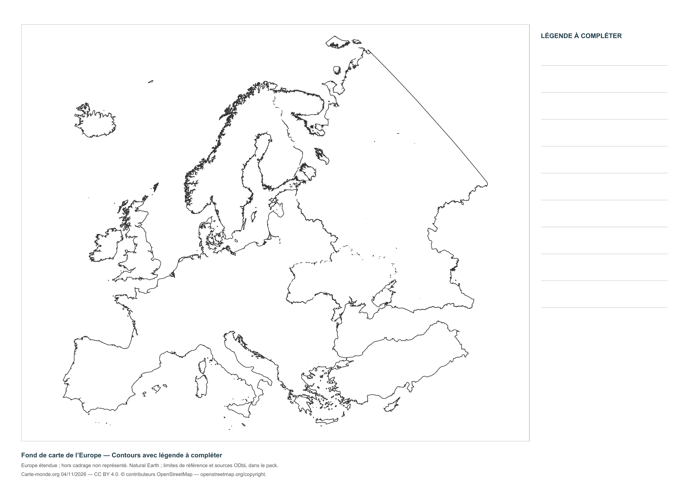
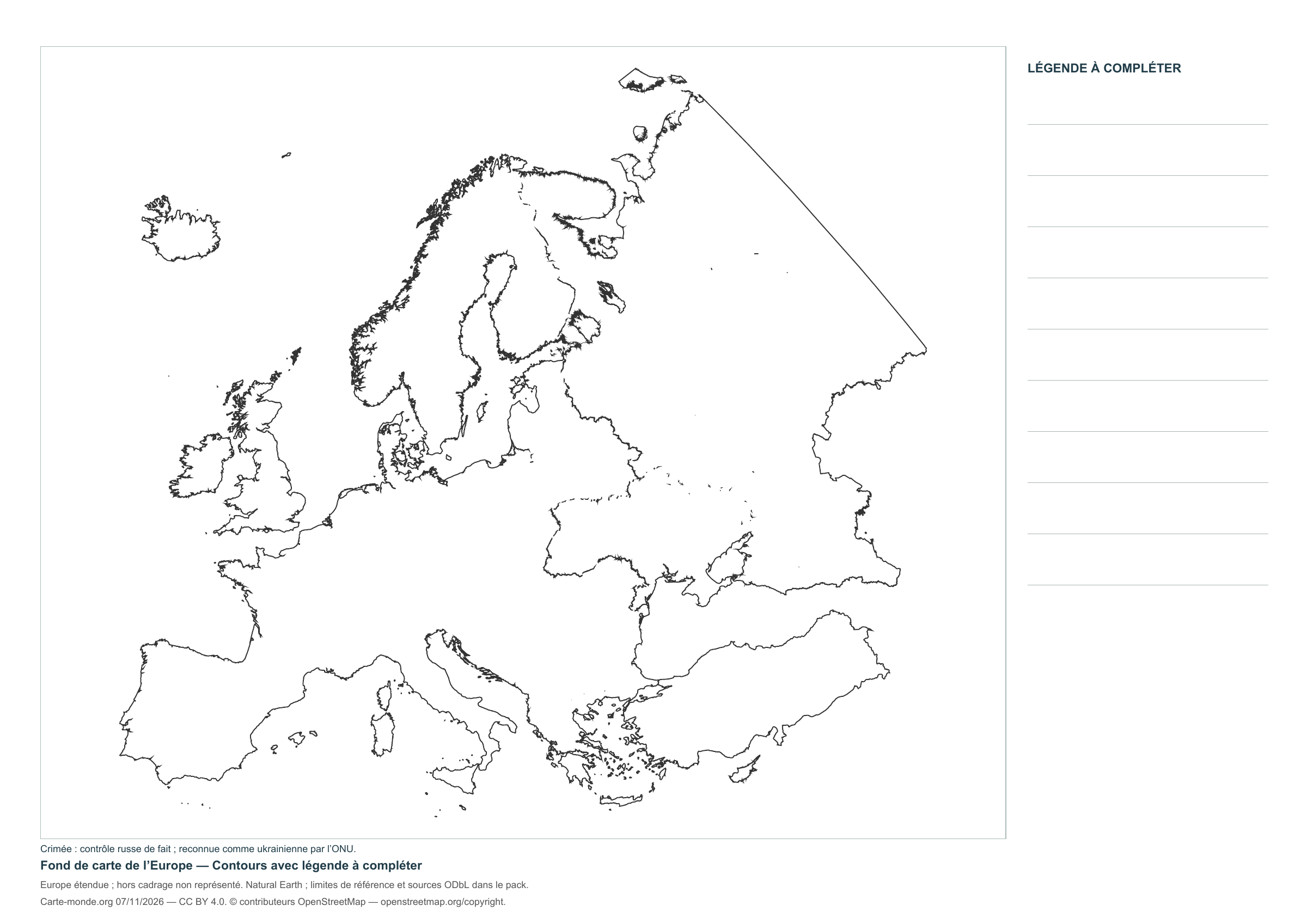
Europe — Outlines with a legend to complete
Map without names, with room to write your legend; gray/black outlines and white paper.
Layout CC BY 4.0. Sources: Natural Earth and, depending on the map, EU/JRC or geoBoundaries. Credits, dates and ODbL derived data in the pack.
Carte-monde.org · 4 November 2026
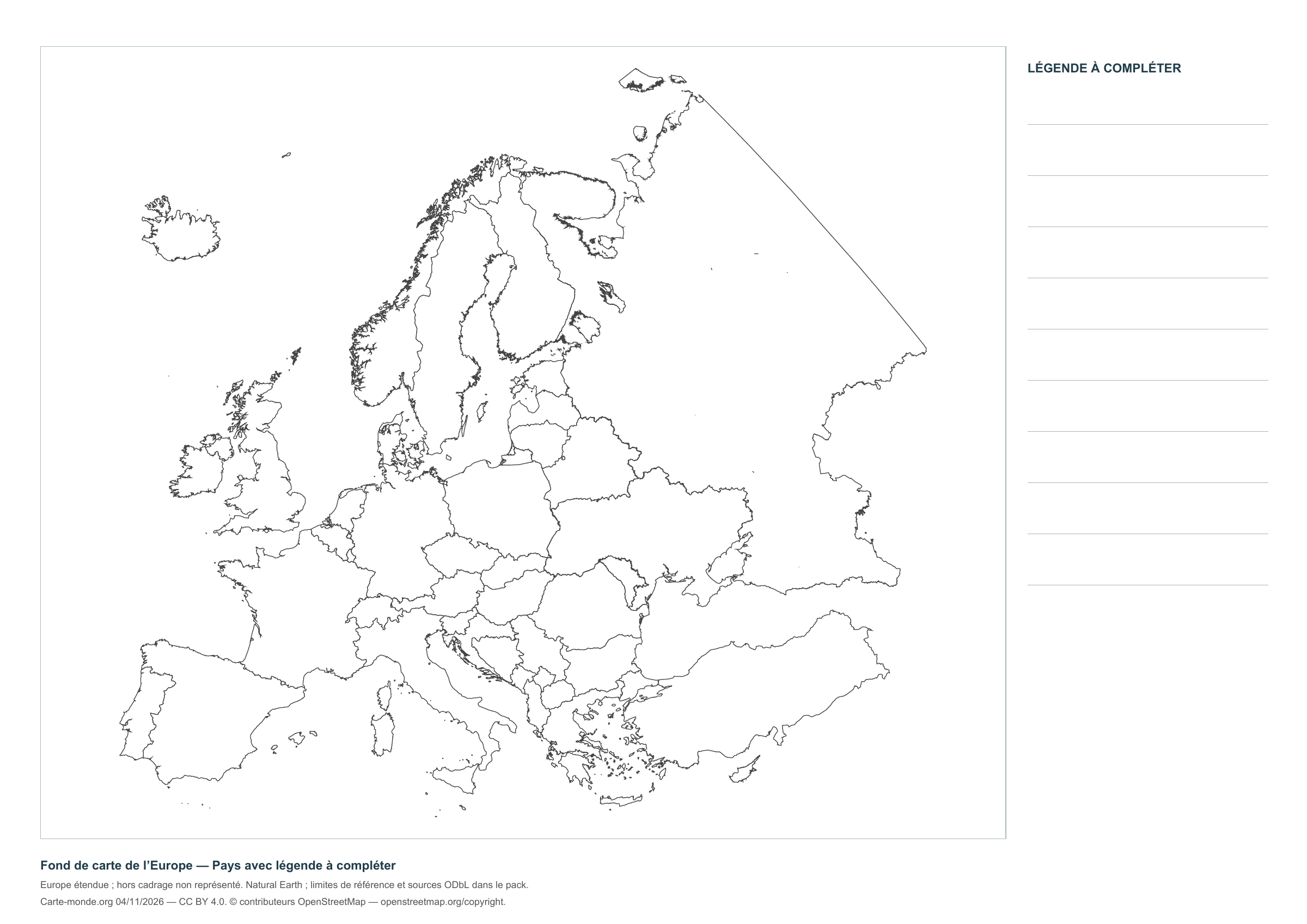
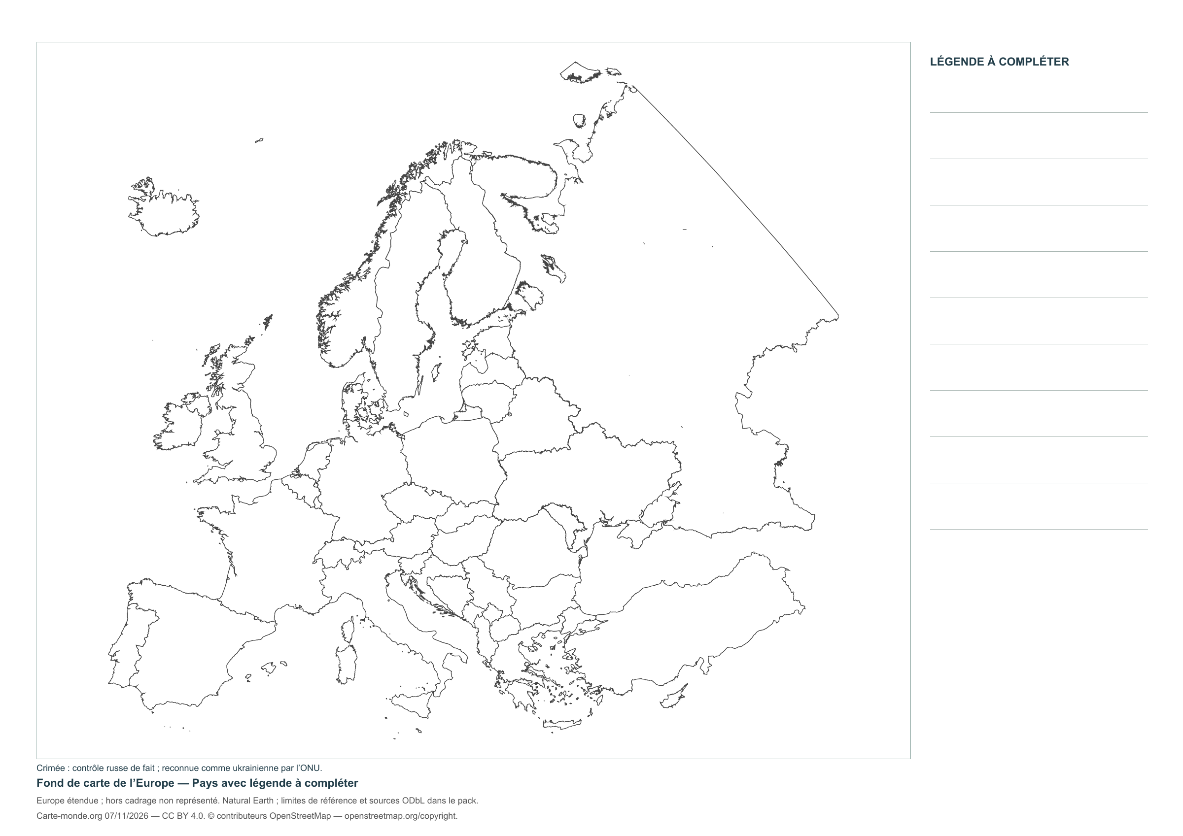
Europe — Countries with a legend to complete
Map without names, with room to write your legend; gray/black outlines and white paper.
Layout CC BY 4.0. Sources: Natural Earth and, depending on the map, EU/JRC or geoBoundaries. Credits, dates and ODbL derived data in the pack.
Carte-monde.org · 4 November 2026
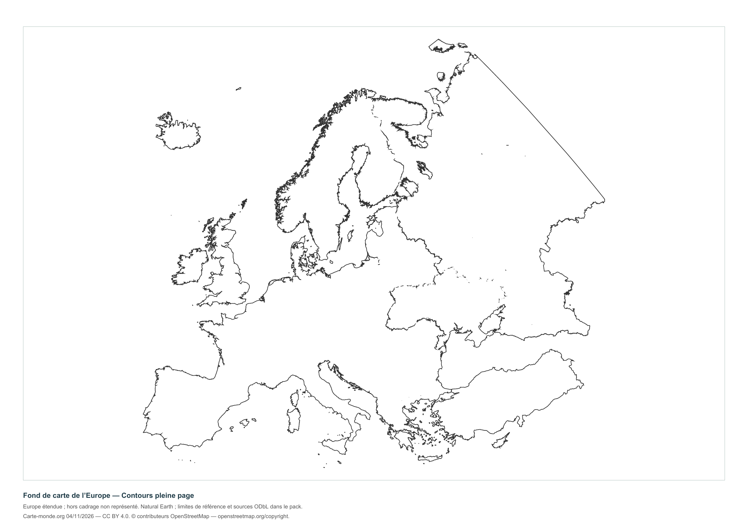
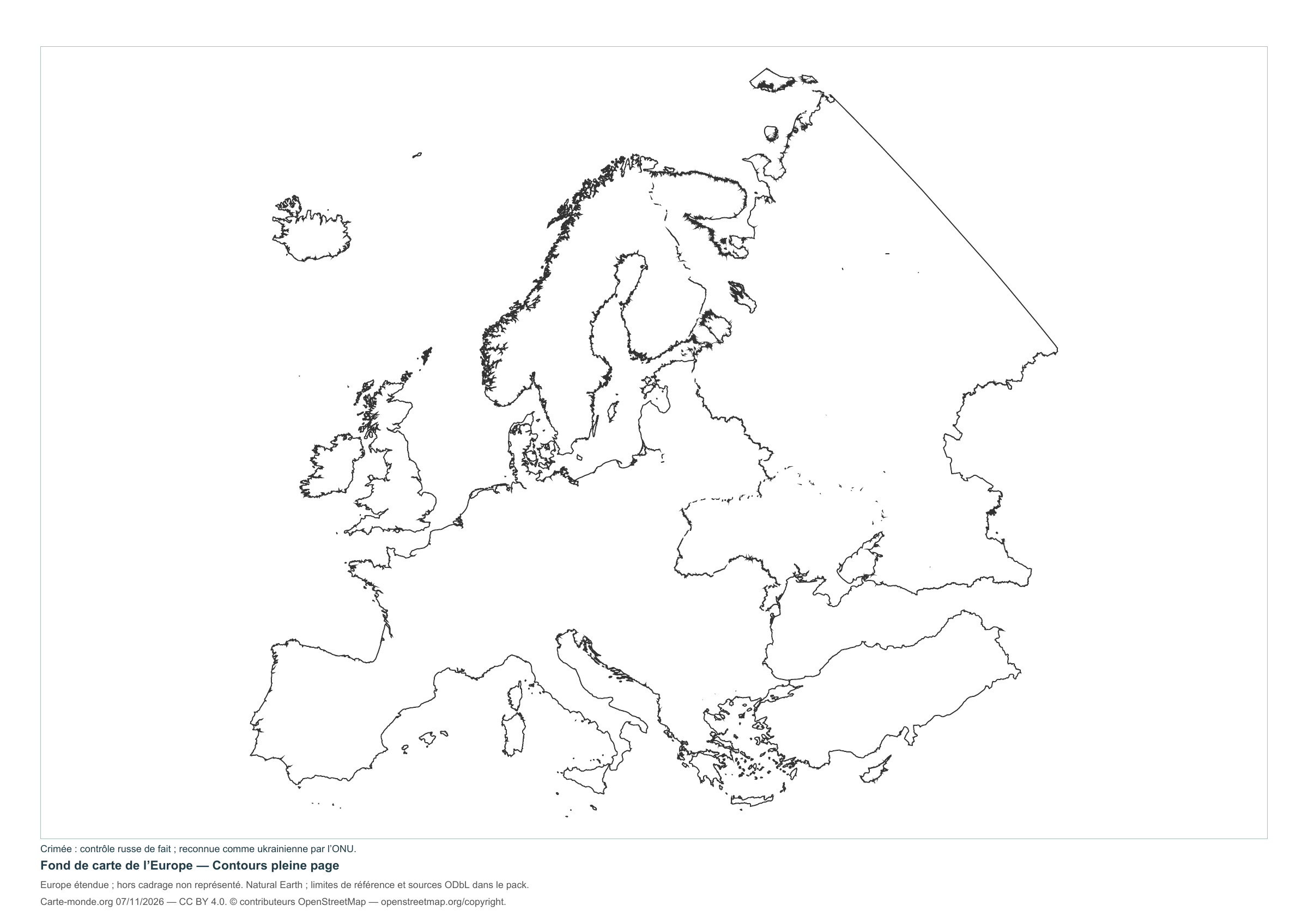
Europe — Full-page outlines
Full-page version without names, with a brief reference at the bottom to reduce ink use.
Layout CC BY 4.0. Sources: Natural Earth and, depending on the map, EU/JRC or geoBoundaries. Credits, dates and ODbL derived data in the pack.
Carte-monde.org · 4 November 2026
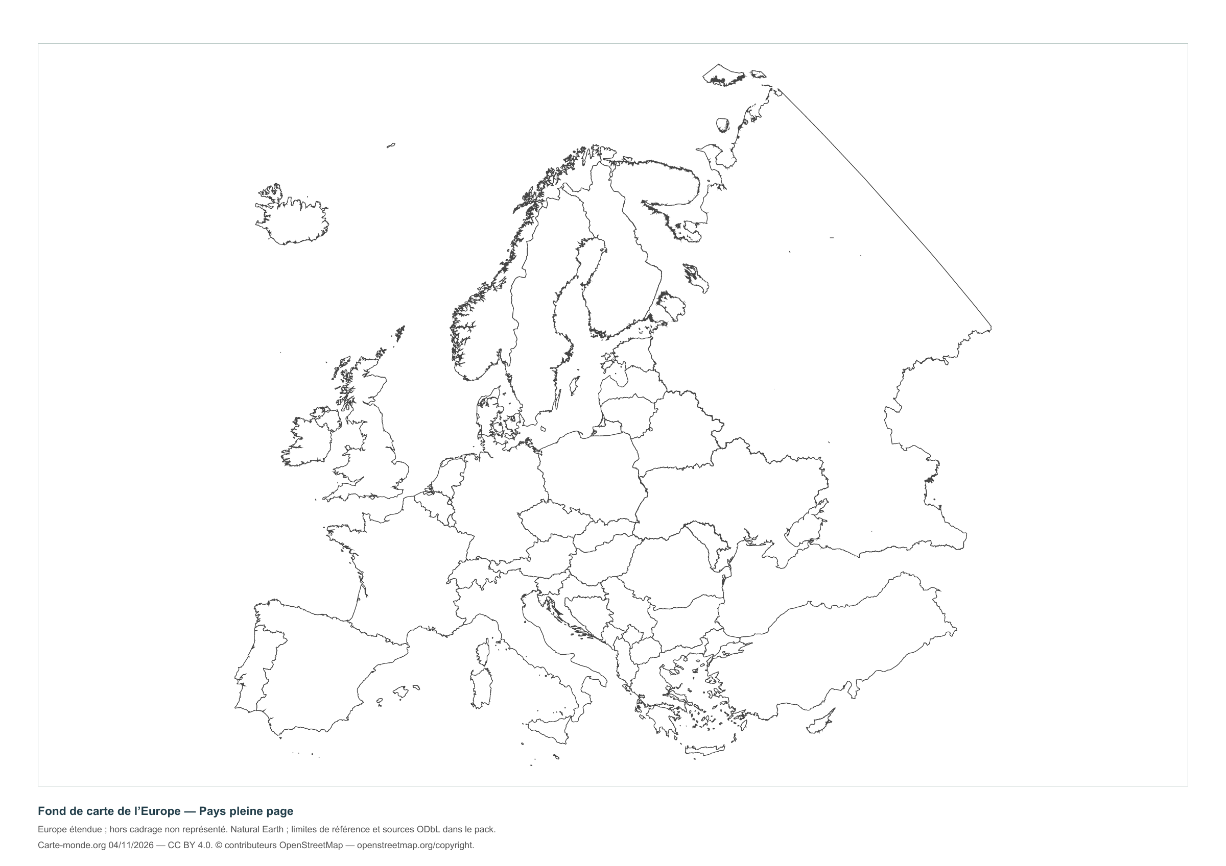
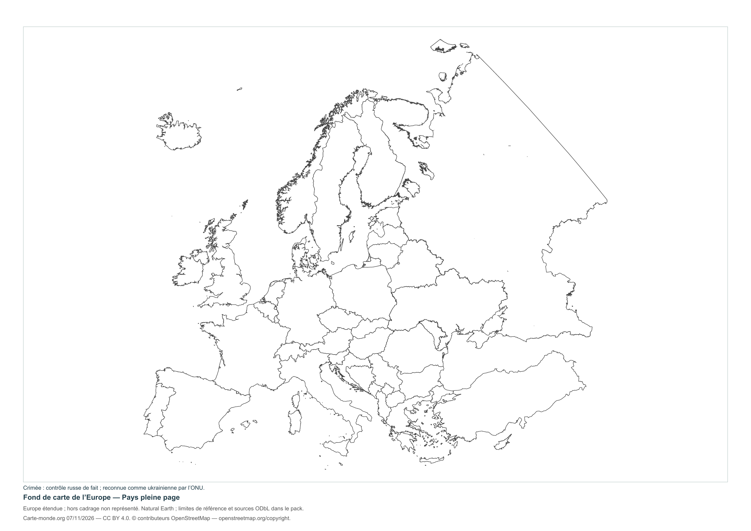
Europe — Full-page countries
Full-page version without names, with a brief reference at the bottom to reduce ink use.
Layout CC BY 4.0. Sources: Natural Earth and, depending on the map, EU/JRC or geoBoundaries. Credits, dates and ODbL derived data in the pack.
Carte-monde.org · 4 November 2026
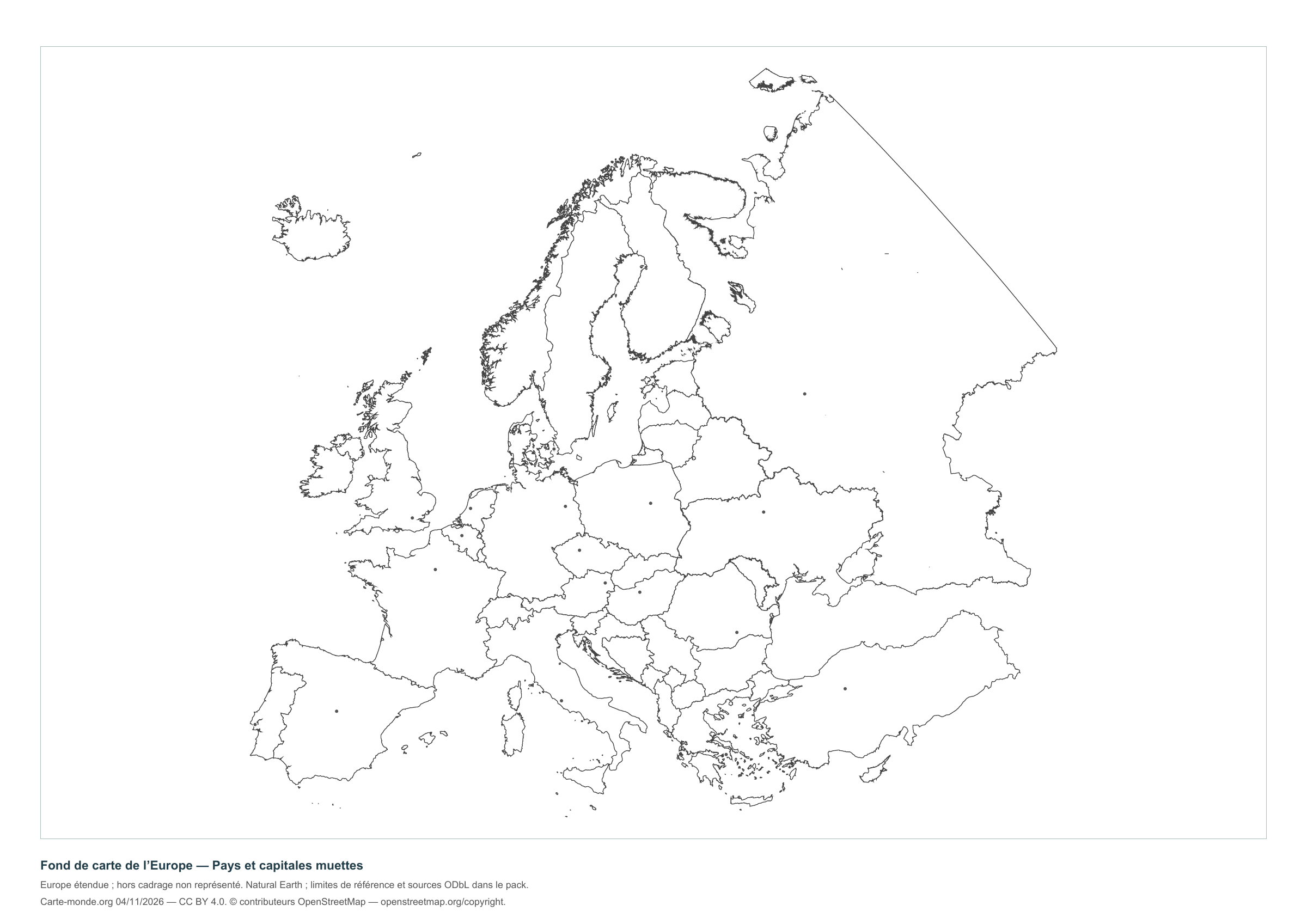
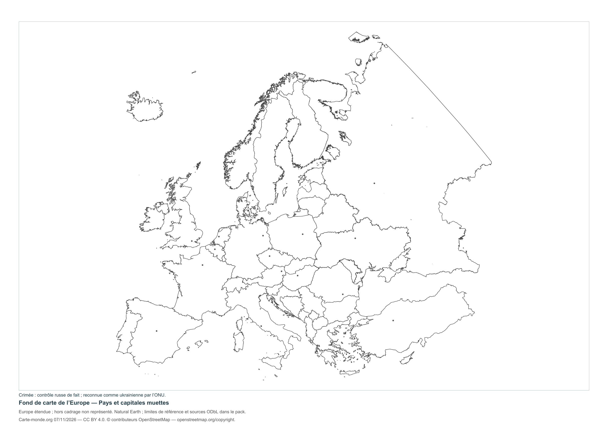
Europe — Countries and unlabeled capitals
Unnamed countries and points marking the main capitals to identify.
Layout CC BY 4.0. Sources: Natural Earth and, depending on the map, EU/JRC or geoBoundaries. Credits, dates and ODbL derived data in the pack.
Carte-monde.org · 4 November 2026
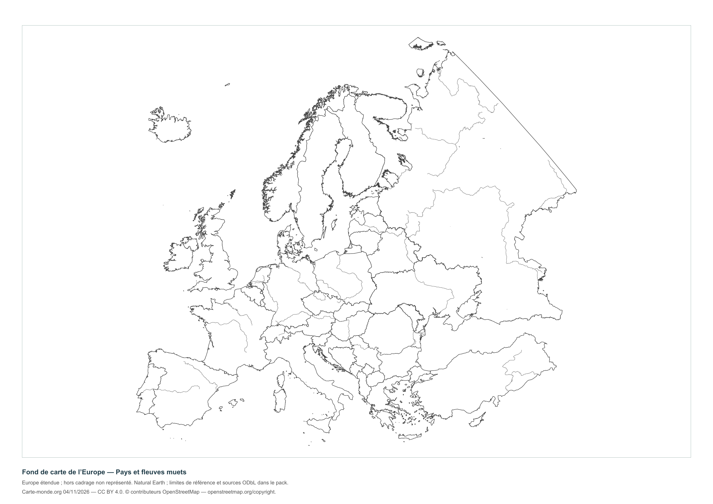
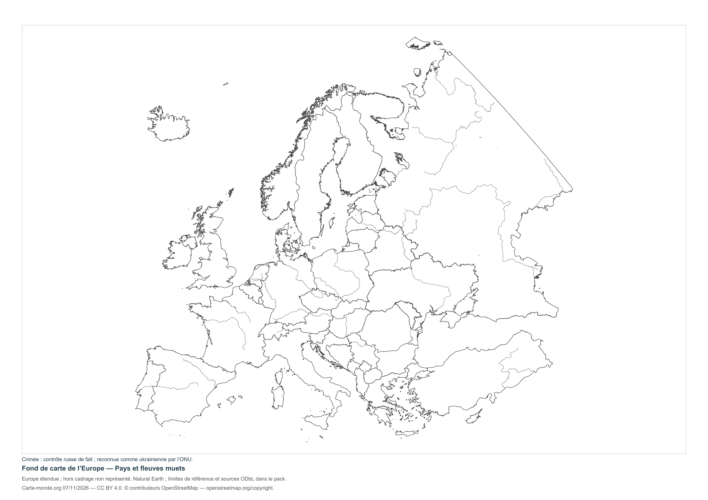
Europe — Countries and unlabelled rivers
Countries and main rivers without names, for a location exercise.
Layout CC BY 4.0. Sources: Natural Earth and, depending on the map, EU/JRC or geoBoundaries. Credits, dates and ODbL derived data in the pack.
The six blank maps in one pack
A4 PDF, PNG and SVG with source documentation, licences and derived geometries.
Download the complete pack — ZIPWhat area is shown?
Extended coverage including Iceland, Cyprus and Turkey; Russia is shown as far as approximately 60° E. Territories outside this area are not shown. Small states and islands are highly generalised.
The reference boundaries do not describe current military control. Kosovo is identified as a territory with disputed status; the map takes no position on that status.
Sources, reference years and reuse
Outlines, countries, capitals and rivers: Natural Earth, public domain. Natural Earth II relief: idealised natural cover, without elevation classes or topographic precision.
Reference boundaries for Russia, Ukraine and Cyprus: geoBoundaries and sources under ODbL. © contributors OpenStreetMap. The derived databases and their documentation are included in the packs and remain under ODbL. Kastellorizo supplement: EuroGeoGraphics / Regional IM Working Group – Europe / geoBoundaries, 2016 edition, CC BY 4.0.
Population: Schiavina et al., GHS-POP R2023A, 2020 estimates, © European Union/JRC, CC BY 4.0. Reference and method. The new layouts are available under CC BY 4.0 : credit Carte-monde.org, the authors, sources and dates. Historical and third-party maps retain their own rights.
Older maps from the collection
The older blank maps remain available at their original URLs, with their earlier size variants.
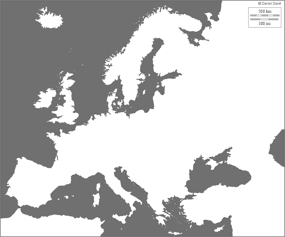
| Downloadable blank maps of Europe | |
 |
 |
 |
 |
| Source: http://www.histgeo.ac-aix-marseille.fr/webphp/pays.php?num_pay=240&lang=fr |
Maps of Europe · Europe blank maps · EU maps · Maps of European countries
Maps and packs from the previous edition
Files preserved at their original addresses, with their earlier cartographic convention.
- europe-fond-capitales-muettes-2026-11-04.pdf
- europe-fond-capitales-muettes-2026-11-04.png
- europe-fond-contour-legende-2026-11-04.pdf
- europe-fond-contour-legende-2026-11-04.png
- europe-fond-contour-pleine-page-2026-11-04.pdf
- europe-fond-contour-pleine-page-2026-11-04.png
- europe-fond-fleuves-muets-2026-11-04.pdf
- europe-fond-fleuves-muets-2026-11-04.png
- europe-fond-pays-legende-2026-11-04.pdf
- europe-fond-pays-legende-2026-11-04.png
- europe-fond-pays-pleine-page-2026-11-04.pdf
- europe-fond-pays-pleine-page-2026-11-04.png
- fonds-europe-collection-2026-11-04.zip
Previous collection — original files preserved
| Downloadable maps of Europe | |
|
|
|
|
|
|
| Source : http://www.histgeo.ac-aix-marseille.fr/webphp/pays.php?num_pay=240&lang=fr |