
Map labels and downloadable files remain in their original language, often French.

World relief map from the collection
Click the preview to view the image at its original size.
|
| Downloadable maps | |
 3000 x 1500 |
10000 x 5000 |
High-resolution relief and topography
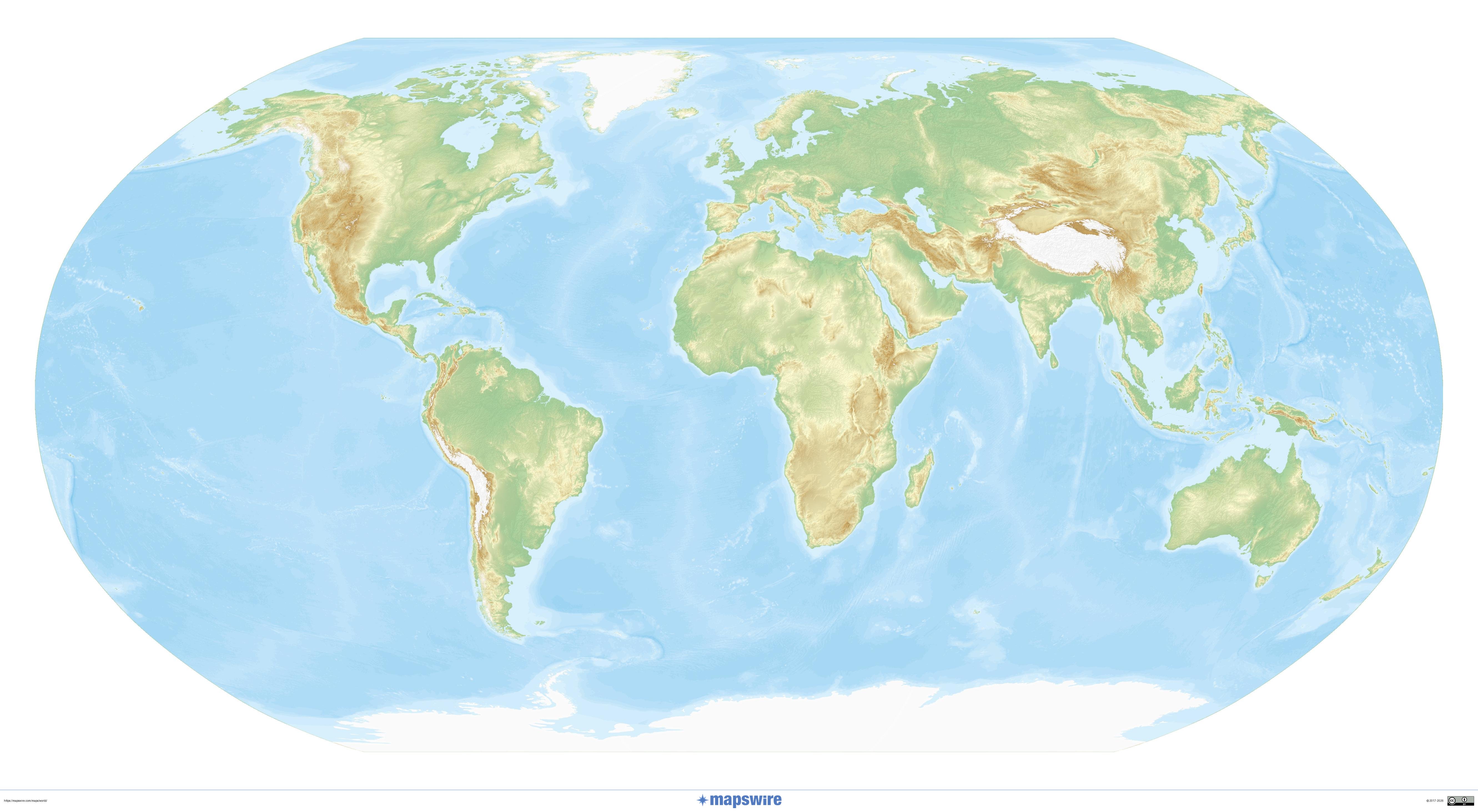
Physical world map in the Robinson projection
Shaded relief on a compromise projection commonly used in atlases.
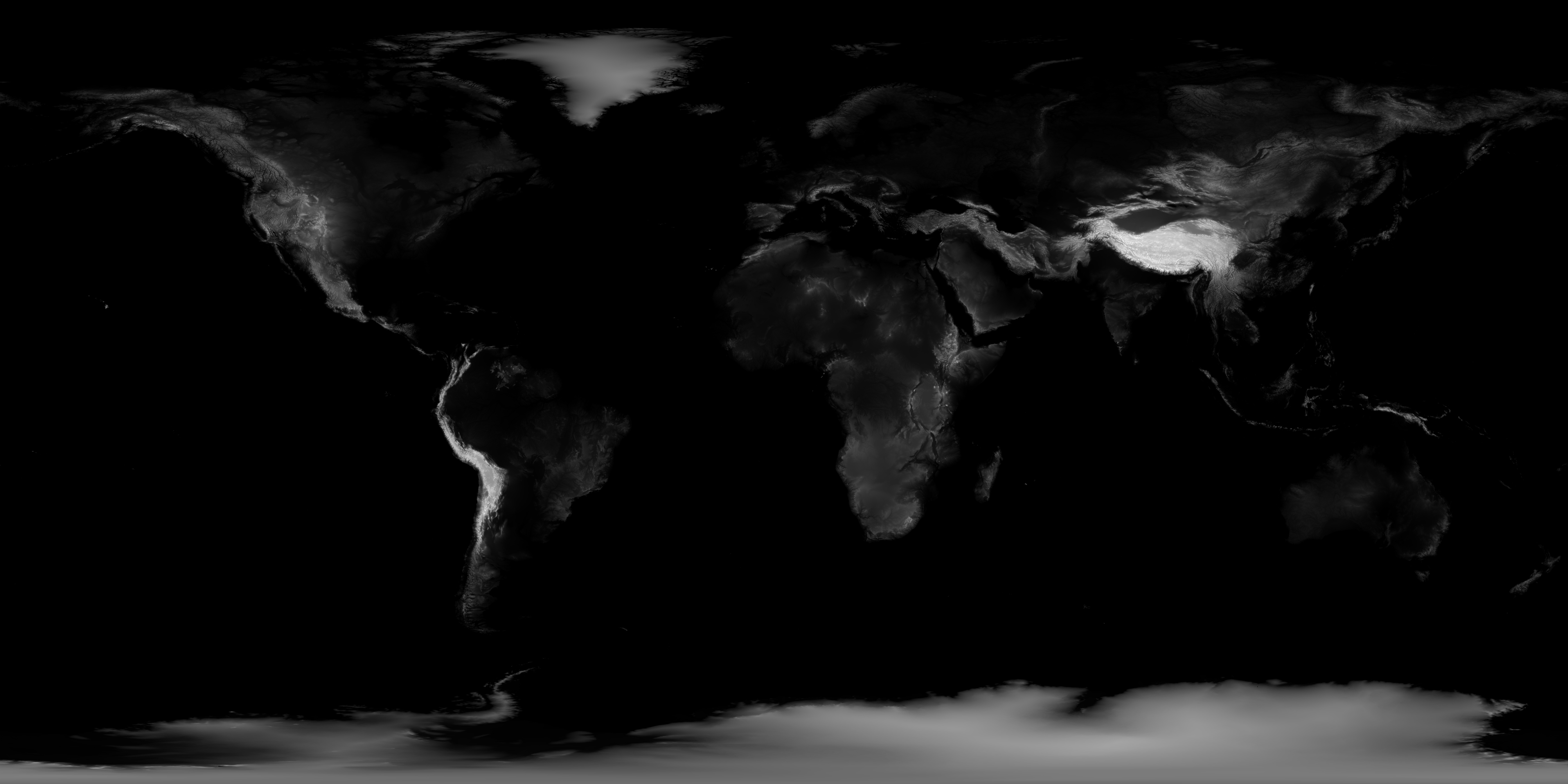
World shaded topography
The Earth’s major landforms stand out on this shaded map. NASA also provides an original 21 600 pixels wide.
NASA Earth Observatory / Jesse Allen, GEBCO data · NASA terms of use.
Previous collection — original files preserved
|
| Downloadable maps | |
|
3000 x 1500 |
10000 x 5000 |


